Buyer ResourcesFederal WayKing County CitiesSouth King County July 31, 2026

Living in Marine Hills, Federal Way WA | 2026 Guide

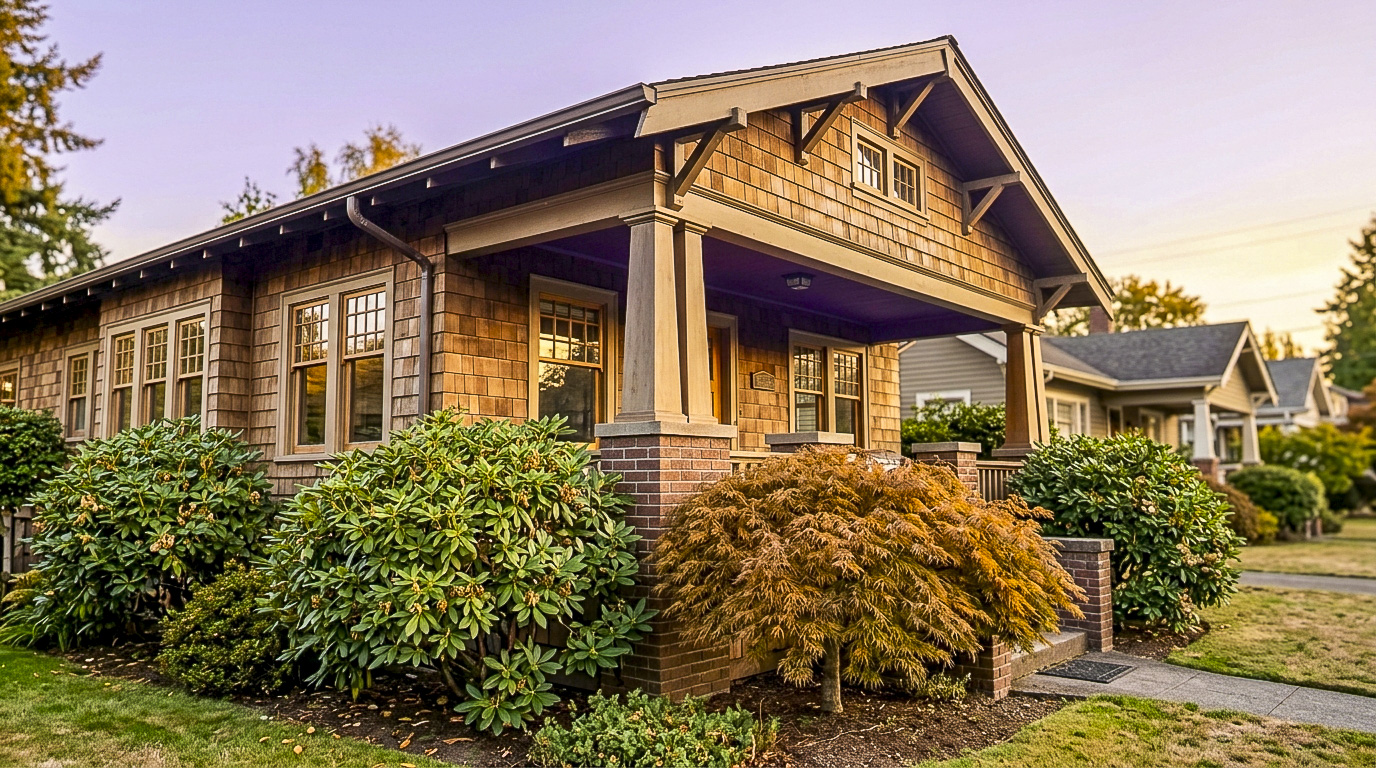
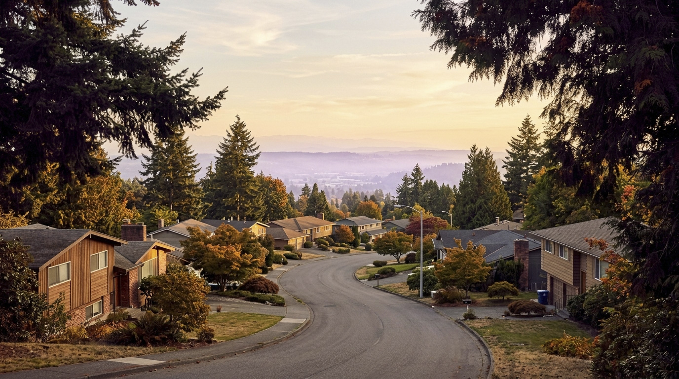
Living in Marine Hills, Federal Way means living on a hillside that steps down toward Puget Sound, with the Redondo waterfront right at the bottom of the slope near the Des Moines line. Homes here date mostly to the 1960s and 1970s, split-levels and midcentury ramblers that climb the terrain in tiers, many with a real view of the water and the Olympic Mountains beyond it. This is a Family-First Established neighborhood. The median home here was built in 1974, and a lot of the people who live here have been here a long time, which says something about how the neighborhood holds up once you move in. Buyers drawn to Marine Hills in 2026 want that view and that established feel without paying Bellevue or West Seattle prices to get it.

What is it actually like to live in Marine Hills in 2026?

On a Tuesday morning, Marine Hills is quiet in the way hillside neighborhoods tend to be. Cars pull out of driveways set into the slope and head down toward Dash Point Road, the main route off the hill and into the rest of Federal Way. Marine Hills is a car-dependent neighborhood, so almost everyone is driving, whether the destination is the Federal Way Transit Center for a bus connection or straight onto Highway 99 and I-5. The homes closest to the water stay shaded longer into the morning, tucked below the ridge line that gives the upper streets their view.

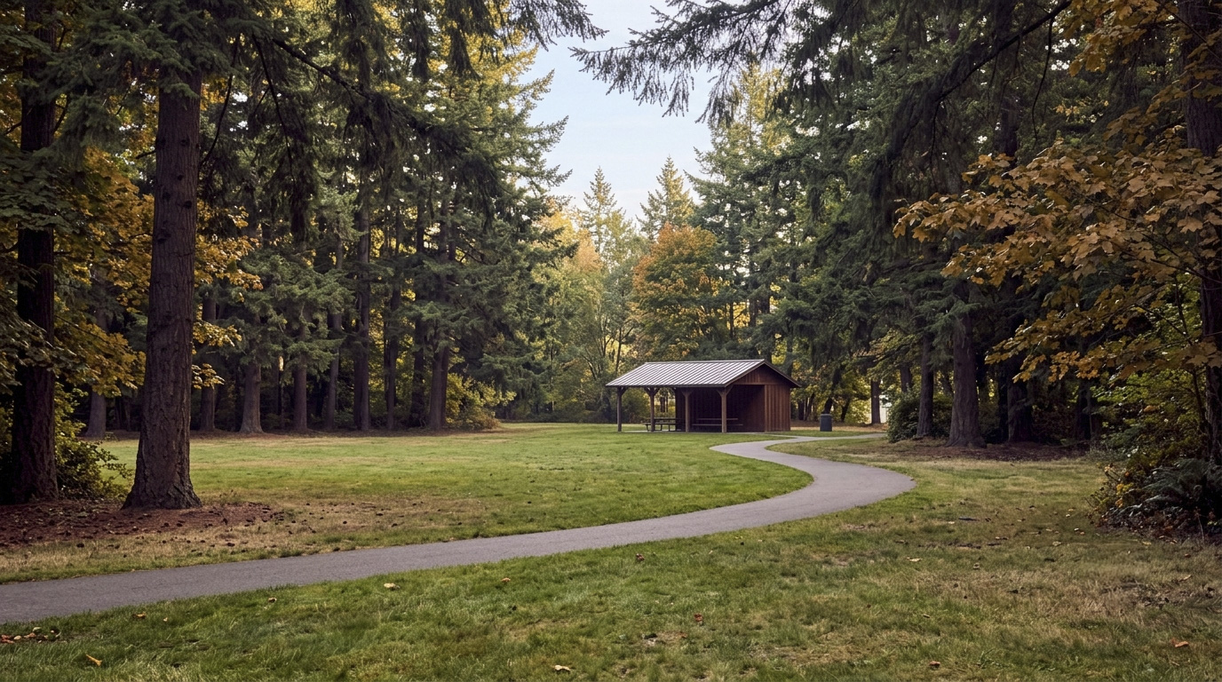
Weekends bring people down the hill toward the water. Wooton Park’s boardwalk draws walkers looking out over Poverty Bay, and the Redondo waterfront, just over the line toward Des Moines, pulls people in for a walk along the water or dinner with a view. Sacajawea Park, also inside the neighborhood, hosts youth sports on its fields most Saturdays in season. It is not a neighborhood built around one single gathering spot so much as a string of small, real destinations within a few minutes of most homes.

The people who land in Marine Hills tend to want an established home with a real view, not a new build in a subdivision further from the water. Compared to newer pockets of Federal Way like the areas around Celebration Park, Marine Hills trades some of that newer-construction convenience for older homes, bigger hillside lots, and water views that are hard to find anywhere else in the city at this price point. Buyers who want more space between homes and don’t mind a steep driveway tend to do well here.
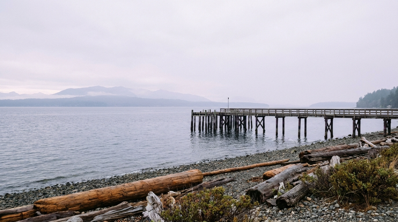
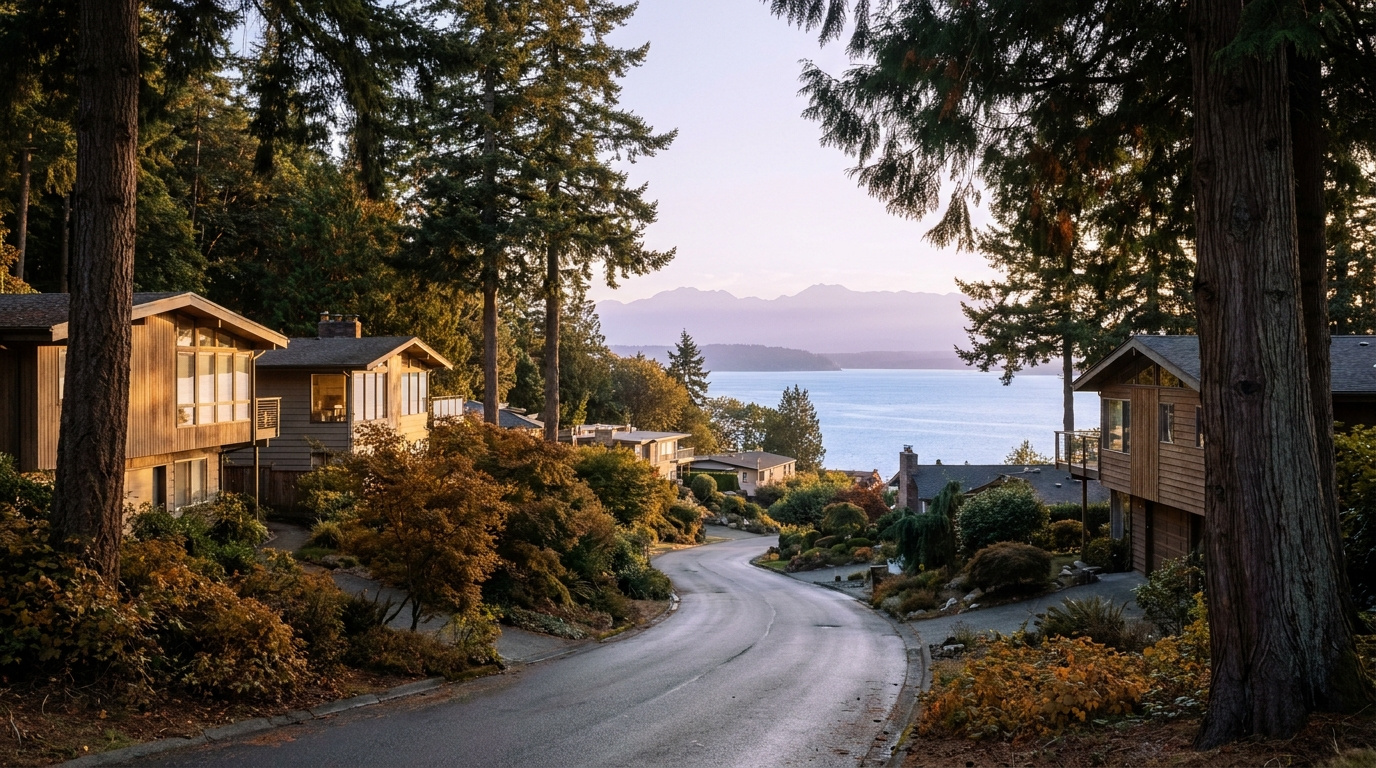
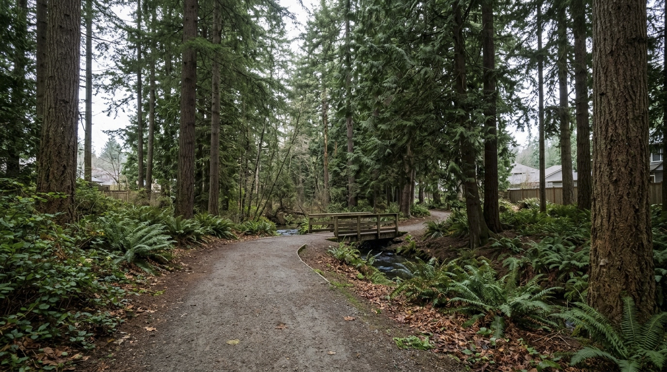
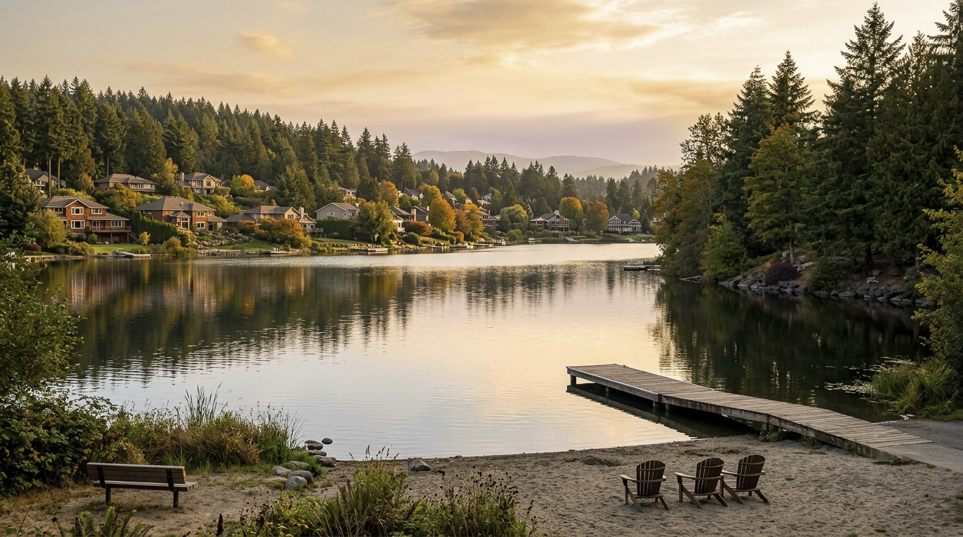
Puget Sound waterfront view near the Redondo boardwalk below the Marine Hills neighborhood of Federal Way, Washington
The Puget Sound waterfront at the base of the Marine Hills slope, near the Redondo boardwalk.

Homes in Marine Hills: What the Data Shows

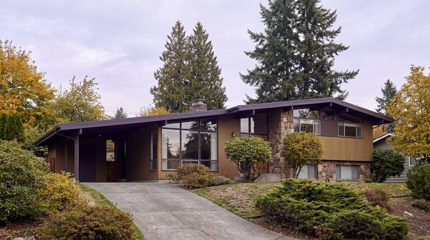
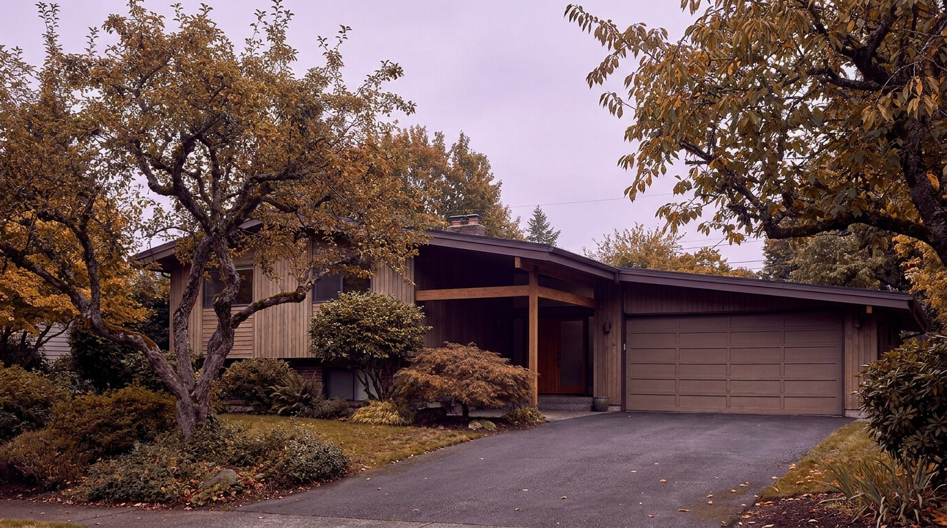
Most homes in Marine Hills date to the 1960s and 1970s, split-level and midcentury modern construction with large windows built to catch the view down the hill. Home sizes run from roughly 1,400 square feet for the smaller entry-level ramblers up toward 3,000 square feet or more for the larger view homes higher on the slope, spread across multiple levels to work with the terrain rather than fight it. Lot sizes range from about 7,000 square feet on the smaller interior lots up to 14,000 square feet or more on some of the corner and view lots. Detached single-family homes make up nearly all of the housing stock here. Entry-level ramblers typically start in the $400,000s and run up toward $800,000, while the midcentury modern homes closest to the water with a more open Sound view can push past $1 million. This is not a subdivision built out by one or two production builders. The homes are eclectic, a mix of styles built out gradually as the hillside filled in, and it shows in how different one block can look from the next.

Data as of June 2026.

Market Pulse Federal Way King County
Median Sales Price (June 2026) ~$675,000 ~$998,000
Median Days on Market ~11 days ~10 days
Active Listings Change (vs. Jan 2026) +132% +127%

Figures reflect Federal Way city-level NWMLS residential data for June 2026, the most recent complete month available. Marine Hills and Redondo are a sub-area within these city figures rather than a standalone MLS reporting zone, so treat the numbers as directional, especially since home values here vary a lot by proximity to the water.

Schools Serving Marine Hills

Marine Hills falls inside the Federal Way Public Schools district. I checked the district’s official address-based boundary lookup at three separate addresses spread across the neighborhood, from the water-view streets near the north end to the interior streets further south, and all three returned the same pipeline: Nautilus Elementary, then Sacajawea Middle School, then Federal Way High School. Both Nautilus and Sacajawea sit physically inside Marine Hills, which is not something every Federal Way neighborhood can say. One note for buyers: an older claim tied to this neighborhood names a school called Redondo Elementary feeding a different middle and high school pipeline (Lakota Middle and Decatur High). I could not find a Federal Way Public Schools campus by that name, and it does not match what the district’s own boundary tool returns for this neighborhood, so treat that older pairing as incorrect.

Nautilus, which the district also runs as a K-8 program for families who choose it, offers a STEAM-focused curriculum with Gifted and Talented options and a community garden on campus. Sacajawea Middle School offers a Gifted and Talented track, Project Lead the Way, and Cambridge International coursework. Federal Way High School added a new football stadium in 2023 and offers Advanced Placement classes alongside Project Lead the Way.

Because Nautilus and Sacajawea both sit inside the neighborhood itself, most Marine Hills kids are riding a bus or being driven a short distance for elementary and middle school rather than crossing the city, before moving on to Federal Way High School for grades nine through twelve. School assignments can still change block by block near any boundary edge, so confirm your specific address with the district before writing an offer.

Getting to Work from Marine Hills

Take Dash Point Road east off the hill to reach Highway 99 and I-5, or connect into King County Metro’s local routes for a ride to the Federal Way Transit Center, where the RapidRide A Line and the 1 Line light rail continue north. Marine Hills itself scores low for walkability and transit access, so plan on driving to most daily errands and to the transit center itself.

Destination Distance 2026 Drive Time (Peak AM) Transit Option
Downtown Seattle 22 miles 30 to 50 min 1 Line Light Rail / I-5
Amazon (South Lake Union) 24 miles 35 to 55 min Link Transfer at Westlake / Drive
Microsoft (Redmond) 32 miles 50 to 70 min Drive / SR-99 to I-405
SeaTac Airport 11 miles 20 to 30 min 1 Line Light Rail (via Federal Way Downtown Station) / Drive

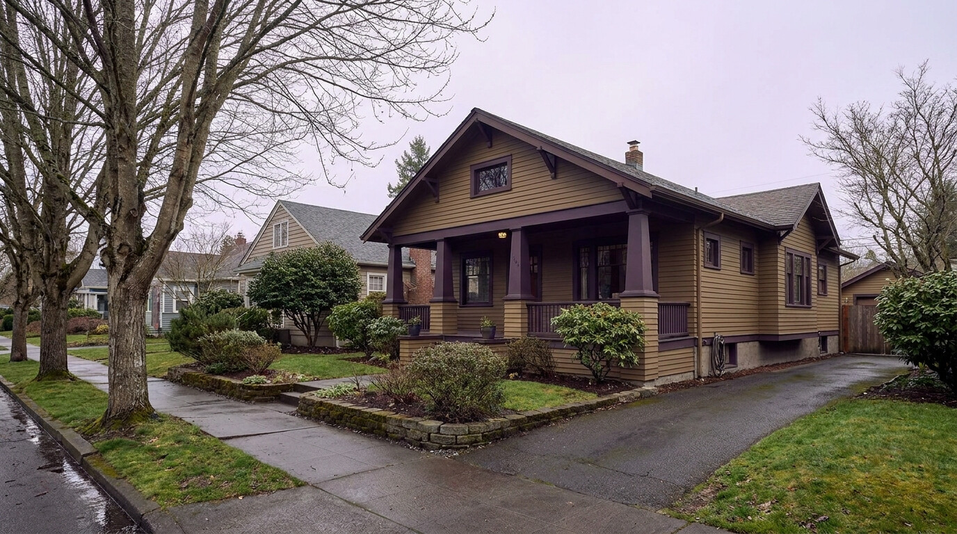
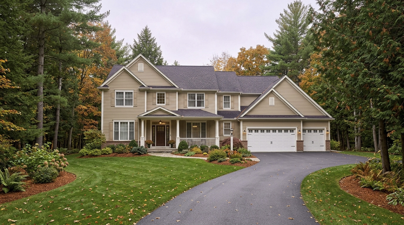
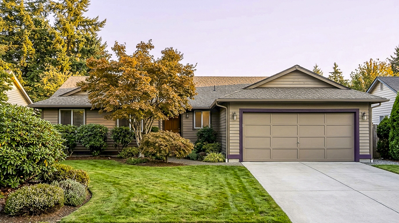
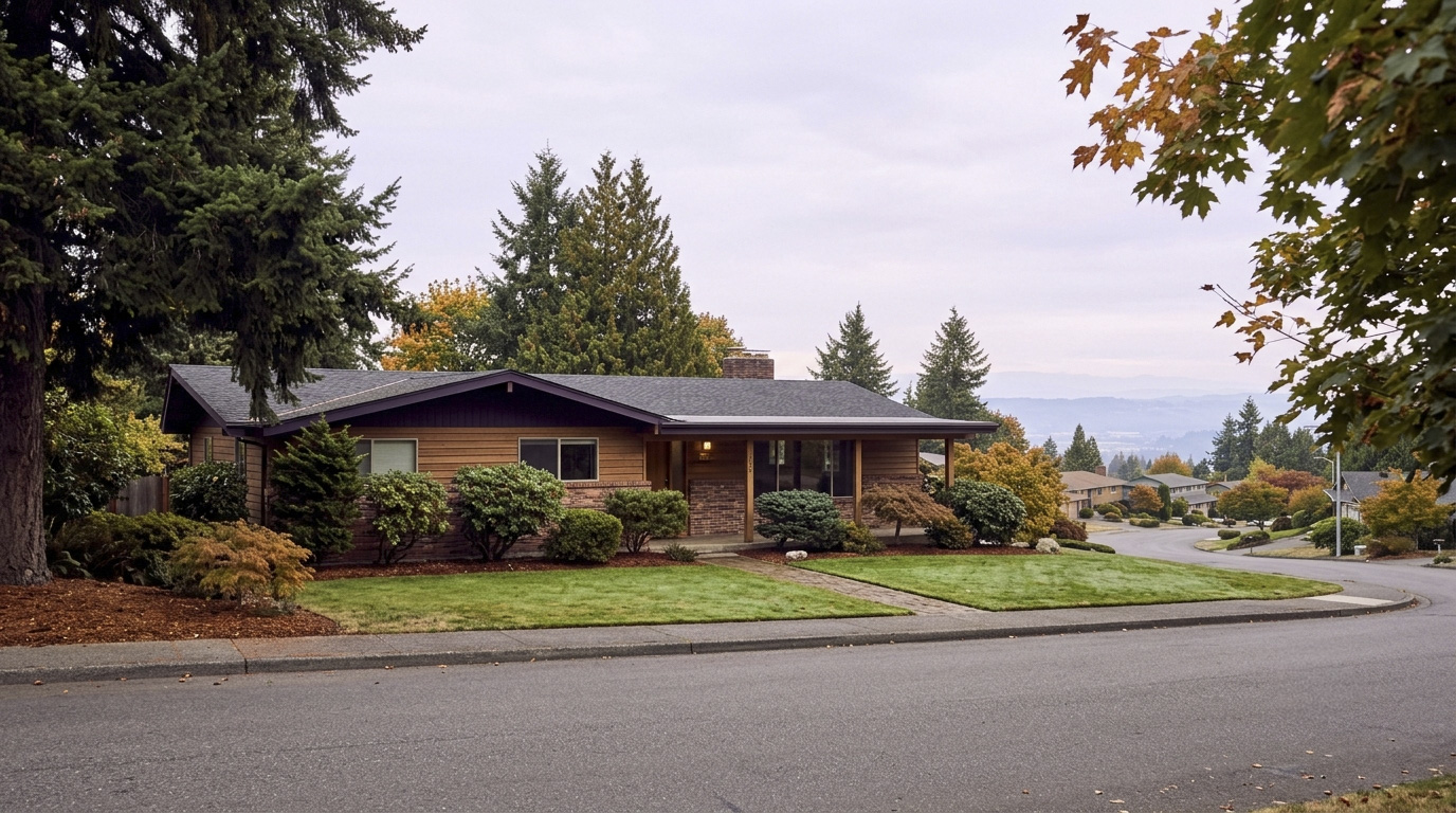
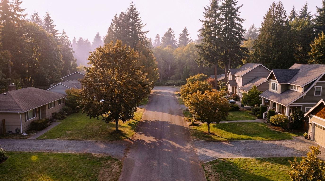
Midcentury split-level home exterior typical of the Marine Hills neighborhood of Federal Way, WA
Homes in Marine Hills are mostly 1960s and 1970s split-level and midcentury modern construction built to catch the hillside view.

What I See as a Valuation Expert in Marine Hills

When I price homes for institutional clients, a real, unobstructed water view is one of the clearest value drivers I see anywhere in Federal Way, and Marine Hills has more of that view inventory than almost any other neighborhood in the city. Two homes on the same block, same square footage, can price meaningfully differently depending on whether the view is open water and mountains or a filtered glimpse between rooflines.

Because so much of this neighborhood sits on a hillside, lot condition and drainage matter more here than in flatter parts of Federal Way. Retaining walls, drainage systems, and the condition of a steep driveway carry real weight in how I assess a property, and buyers should budget for those systems the same way they budget for a roof.

Streets closest to the water and highest on the slope, where the view opens up fully, tend to move first when priced correctly. Interior streets a block or two off the view corridor sell fine but usually take longer and command less per square foot, even with a nearly identical home.

Explore Marine Hills Yourself

View Marine Hills on Google Maps →

Is Marine Hills a good place to live? It works well if you want an established Federal Way neighborhood with real Puget Sound views and easy access to the Redondo waterfront, especially if a hillside lot and an older home don’t bother you.

What are homes like in Marine Hills? Mostly 1960s and 1970s split-level and midcentury modern homes, typically 1,400 to 3,000 square feet on lots from about 7,000 to 14,000 square feet, spread across multiple levels to fit the hillside.

What schools serve Marine Hills? The neighborhood falls in Federal Way Public Schools. Per the district’s official boundary lookup, checked at three addresses across the neighborhood, homes here feed Nautilus Elementary, then Sacajawea Middle School, then Federal Way High School. Both Nautilus and Sacajawea sit physically inside Marine Hills. Always confirm your specific address with the district before writing an offer.

How far is Marine Hills from Seattle? About 22 miles, with a 30 to 50 minute peak commute by car, or a connection to the 1 Line at Federal Way Downtown Station a short drive away.

Your guide to life outside Seattle.

Gregory Dorrell | Coldwell Banker Bain | WA License #111862
253-350-0045  ·
greg@livingoutsideseattle.com  ·
www.livingoutsideseattle.com

Buyer ResourcesFederal WayKing County CitiesSouth King County July 31, 2026

Living in South Federal Way, WA | 2026 Guide

Living in South Federal Way means trading a little city bustle for more room, both inside the house and out in the yard. This part of the city sits south of S 356th Street, close enough to the Pierce County line that some daily errands pull you toward Tacoma-area roads as often as toward downtown Federal Way. The Camelot name comes up often in conversation, though it is more of a local shorthand than an official subdivision. What you get here is a Family-First Established feel: larger lots, a mix of older homes and newer infill, and a lower price per square foot than almost anywhere else in the city. Buyers priced out of Federal Way’s core keep landing here in 2026 because the math still works.

What is it actually like to live in South Federal Way in 2026?

On a Tuesday morning, South Federal Way feels less hurried than the commercial stretch along Pacific Highway a few minutes north. Driveways here tend to be longer and traffic lighter once you turn off the main arterials onto the residential side streets. Commuters headed north toward downtown Federal Way or east toward SR-18 and Auburn make up most of the morning traffic, since this part of the city sits at a crossroads between two commute directions rather than funneling everyone one way.

Weekends bring more activity to Brooklake Park, where the restored blueberry farm draws local families during picking season. This is not a neighborhood built around one signature amenity the way some Federal Way neighborhoods are built around a lake or a beach. It is a working residential area, and the appeal is space and value rather than a single standout feature.

The people who choose South Federal Way tend to want more house and yard than they can get for the same money closer to downtown Federal Way or in Kent. Compared to a neighborhood like Wynstone, lots here run larger and the housing stock is more varied. Buyers who want SR-18 access to Auburn, something few other Federal Way neighborhoods offer as directly, notice the difference in their daily drive right away.

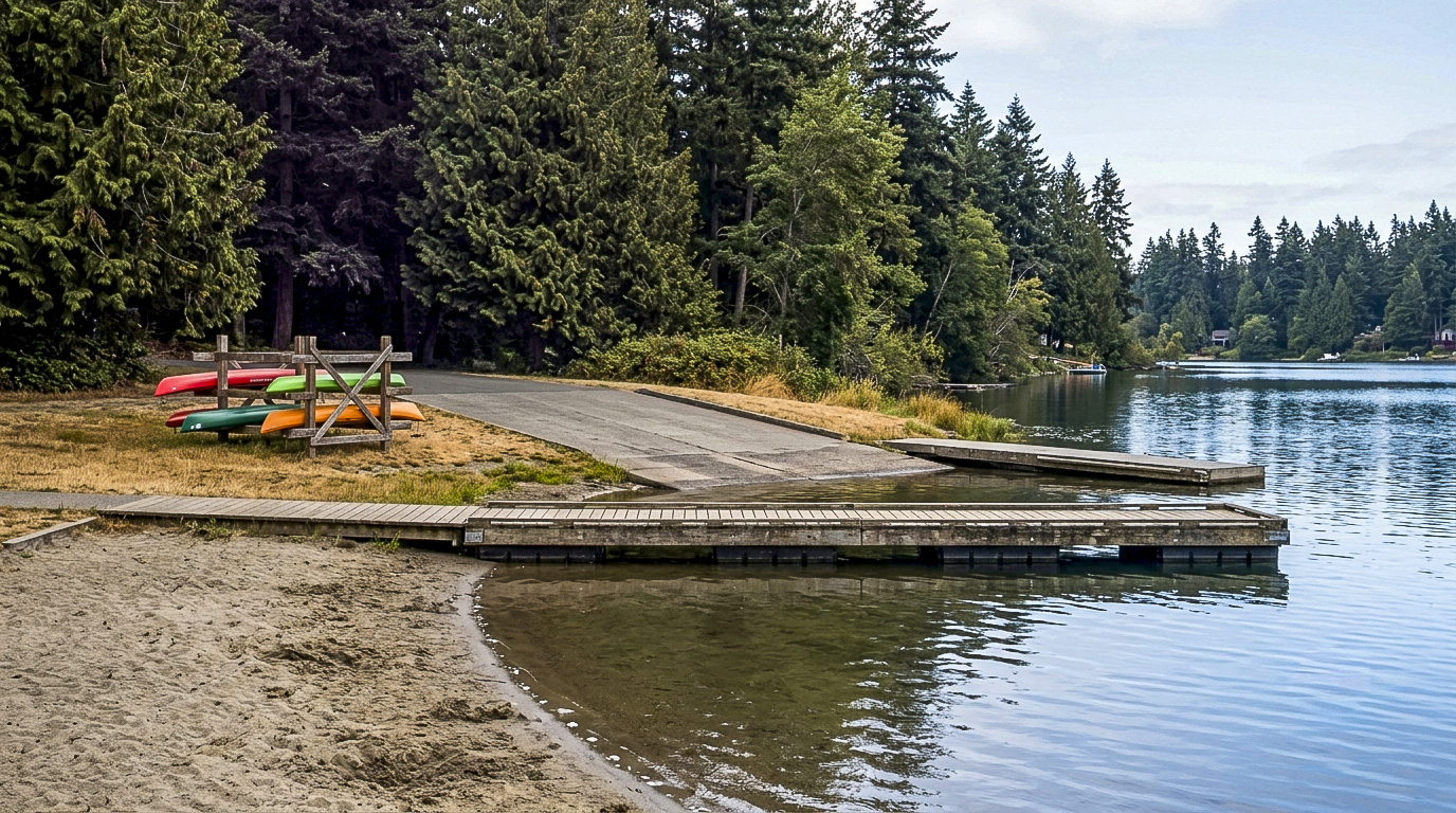
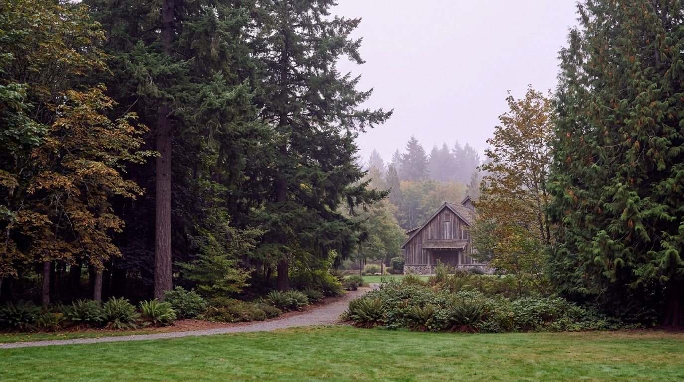
Brooklake Historic Community Center and Park Area in South Federal Way, Washington, a natural area and community gathering space on S 356th Street
Brooklake Park sits right on S 356th Street, giving South Federal Way residents a natural area and community space close to home.

Homes in South Federal Way: What the Data Shows

South Federal Way’s housing stock spans several decades, a mix of older established homes built out since the 1970s and 1980s alongside pockets of newer infill construction. Home sizes run from about 1,500 square feet on the smaller, older properties up to 3,000 square feet or more on newer builds. Lot sizes are the area’s biggest draw, ranging from 8,000 up to 14,000 square feet or larger, noticeably bigger than what buyers typically find closer to downtown Federal Way. Detached single-family homes make up nearly all of the housing here. Some newer subdivisions carry an HOA that maintains shared common areas, while the older streets have none. This is one of Federal Way’s most affordable sectors by price per square foot, which is exactly why value-focused buyers keep circling back to it.

Data as of June 2026.

Market Pulse Federal Way King County
Median Sales Price (June 2026) ~$675,000 ~$998,000
Median Days on Market ~11 days ~10 days
Active Listings Change (vs. Jan 2026) +390% +127%

Figures are Federal Way city-level NWMLS data (South Federal Way and Camelot are not a standalone MLS reporting zone), sourced through the Living Outside Seattle monthly market feed. Active listings change reflects the normal seasonal climb from January’s low-inventory winter months, not a South Federal Way-specific trend.

Schools Serving South Federal Way

South Federal Way sits inside the Federal Way Public Schools boundary, but this part of the city, especially south of S 356th Street near the Pierce County line, includes areas where the district has drawn boundary lines through more than once. I could not confirm a single elementary feeder for every address in this area from public sources alone, and I would rather tell you that plainly than guess. Depending on the exact address, families here have landed in different elementary assignments within the district.

What I can confirm is the district itself, Federal Way Public Schools, and that every home in this area feeds eventually into one of the district’s middle and high schools. The safest move if you are house hunting here is the same one I would make: pull up the district’s official boundary lookup tool for the specific address before you write an offer, not after. If you have a specific program in mind, dual language, STEM, or a gifted track, call the district enrollment office directly. Boundary lines here can split one block from the next, so a neighbor’s assignment is not a reliable stand-in for your own address.

Getting to Work from South Federal Way

Take Pacific Hwy S north to reach downtown Federal Way and I-5, or head east on S 356th St to pick up SR-18 toward Auburn, an option most other Federal Way neighborhoods do not have as directly.

Destination Distance 2026 Drive Time (Peak AM) Transit Option
Downtown Seattle 27 miles 40 to 60 min I-5 / ST Link light rail from Federal Way Downtown Station
Bellevue / Amazon 24 miles 35 to 55 min SR-18 to I-405 north
Microsoft (Redmond) 30 miles 45 to 65 min SR-18 to I-405 to SR-520
SeaTac Airport 14 miles 20 to 30 min I-5 north

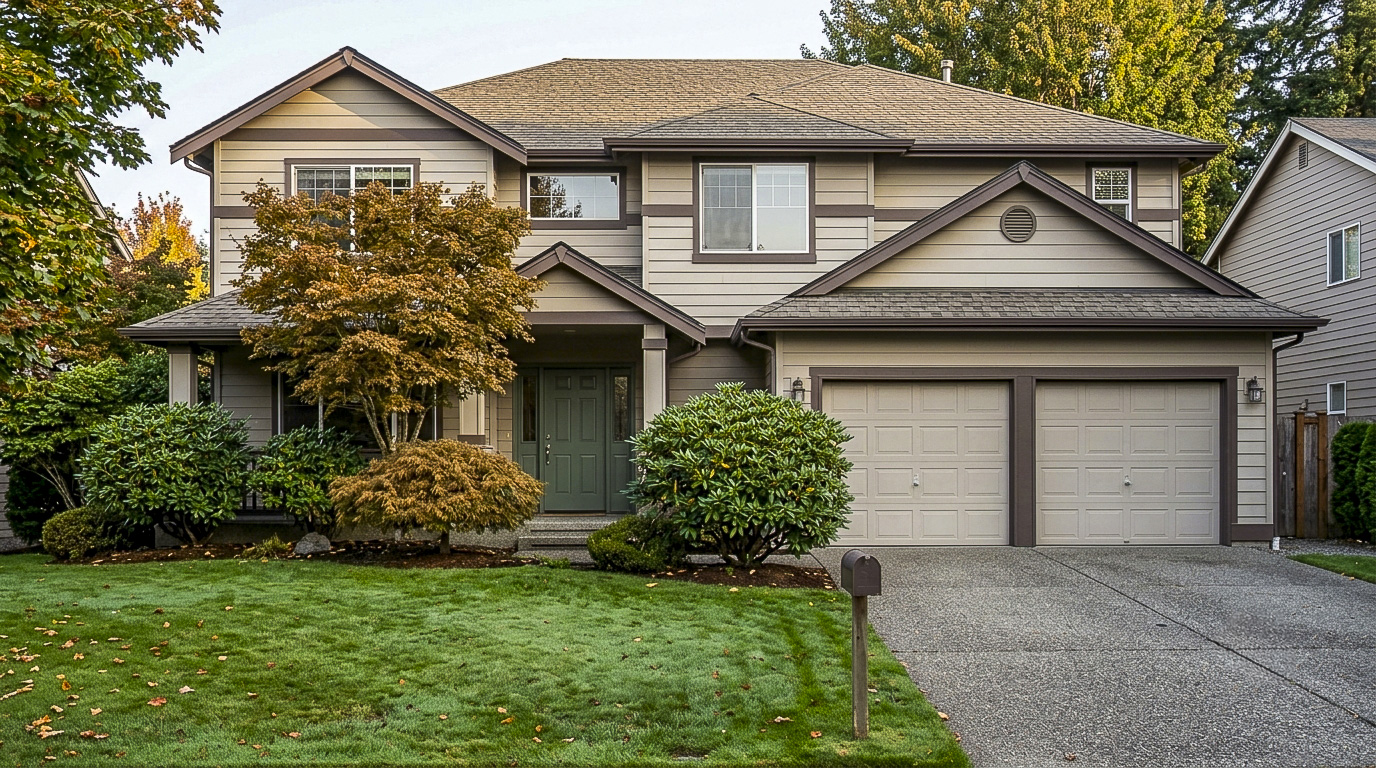
Single-family home exterior typical of the South Federal Way and Camelot area near the Pierce County line
South Federal Way homes sit on some of the larger lots in the city, a mix of older established construction and newer infill.

What I See as a Valuation Expert in South Federal Way

When I assess homes here for institutional lenders, lot size carries more of the value story than it does in Federal Way’s denser neighborhoods. A larger, usable lot with room to add a shop or expand the driveway tends to command a real premium over a similarly sized home on a tight interior lot, even a few blocks away.

HOA presence swings value in both directions here. Newer subdivisions with an HOA see well-maintained common areas support price, while on the older, non-HOA streets, curb appeal and deferred maintenance carry more weight since there is no shared standard pulling every yard toward the same baseline.

Streets closer to Brooklake Park and the quieter interior blocks away from Pacific Hwy S traffic noise tend to move first and hold value best. Corner lots with usable side yard, not just a wider setback, are the other feature buyers compete hardest for here.

Frequently Asked Questions

Q: Is South Federal Way a good place to live?
A: It works well if you want more lot size and a lower price per square foot than the rest of Federal Way, and you don’t mind a longer drive to some amenities. It suits buyers who prioritize space and value over walkability to a downtown core.

Q: What are homes like in South Federal Way?
A: A mix of older established homes from the 1970s and 1980s and newer infill construction, typically 1,500 to 3,000+ square feet on lots from 8,000 to 14,000 square feet or larger. Some newer subdivisions have an HOA, while older streets do not.

Q: What schools serve South Federal Way?
A: Federal Way Public Schools serves this area, but the specific elementary assignment can vary block to block near the Pierce County line. Always confirm your exact address with the district’s official boundary lookup before making an offer.

Q: How far is South Federal Way from Seattle?
A: About 27 miles, typically a 40 to 60 minute drive during peak morning traffic, or a drive to Federal Way Downtown Station to catch the Link light rail.

Explore South Federal Way Yourself

View South Federal Way on Google Maps →

Your guide to life outside Seattle.

Gregory Dorrell | Coldwell Banker Bain | WA License #111862
253-350-0045  ·
greg@livingoutsideseattle.com  ·
www.livingoutsideseattle.com

Buyer ResourcesFederal WayKing County NeighborhoodsSouth King County July 30, 2026

Living in Celebration Park, Federal Way WA | 2026 Guide

Living in Celebration Park, Federal Way means living within a few minutes of the city’s biggest recreational asset. This corner of southwest Federal Way built up through the 1980s and 1990s around what became an 83.5 acre park with four lighted baseball fields, four lighted soccer fields, a playground, and trails that connect into the regional BPA Trail. Easter Lake, a small neighborhood lake a short distance away, gives the surrounding streets a quieter, more residential feel once you turn off the main corridors. This is a Family-First Established neighborhood, and it shows in the number of families who chose it specifically for the park at the center of it.

What is it actually like to live in Celebration Park in 2026?

On a Tuesday morning, the streets around Celebration Park and Easter Lake carry the ordinary rhythm of a settled residential pocket. Cars head out toward S 320th Street or Pacific Highway South, some continuing to the RapidRide A Line stop for a commute north or south, others turning toward I-5. The park itself sits quiet on weekday mornings, its eight lighted fields empty until practice season ramps up in the afternoon.

Weekends look different. Celebration Park is one of the busiest recreational spots in Federal Way, and on a Saturday in spring or fall the parking lots fill with families dropping kids at baseball and soccer games across the park’s eight fields. Others use the trail system that threads through the park and connects to the BPA Trail for a walk or a run. Easter Lake, tucked into the surrounding streets, offers a calmer contrast, a small lake that residents pass on quiet walks rather than a destination in its own right.

The people who land in this part of Federal Way tend to have kids in organized sports, or simply want an established home within walking or short driving distance of a serious recreational amenity. Compared to Mirror Lake or Twin Lakes elsewhere in the city, Celebration Park and Easter Lake trade a bit of that quieter lake-focused character for direct proximity to the park complex itself. Buyers who coach a team or spend their weekends at practice notice the difference in convenience right away.

Celebration Park athletic fields and walking trail in Federal Way, Washington, the anchor amenity for the surrounding neighborhood
Celebration Park’s lighted fields and trail system anchor the neighborhood that shares its name.

Homes in Celebration Park: What the Data Shows

Most homes in the Celebration Park and Easter Lake area date to the 1980s and 1990s, running 1,500 to 2,800 square feet on lots between 7,000 and 12,000 square feet, some of the larger lots in this part of the city. Detached single-family homes dominate the housing stock, mostly two-story construction with attached garages, typical of Federal Way’s suburban buildout during that era. It is not a neighborhood built around a single architectural style so much as a practical, family-oriented housing stock that has held up well, especially the homes closest to the park and to Easter Lake.

Data as of June 2026.

Market Pulse Federal Way King County
Median Sales Price (June 2026) ~$675,000 ~$998,000
Median Days on Market ~11 days ~10 days
Active Listings Change (vs. Jan 2026) +132% +127%

Figures reflect Federal Way city-level NWMLS residential data for June 2026, the most recent complete month available. Celebration Park and Easter Lake are a sub-area within these city figures rather than a standalone MLS reporting zone, so treat the numbers as directional for this specific pocket of the city.

Schools Serving Celebration Park

Celebration Park and Easter Lake fall inside the Federal Way Public Schools district. According to the district’s official address-based boundary lookup, homes in this pocket of the city, checked at addresses near Celebration Park, along S 320th Street, and near Easter Lake itself, feed into Mirror Lake Elementary, then Sequoyah Middle School, then Todd Beamer High School. One quirk worth knowing: Sequoyah Middle School carries an Auburn mailing address even though it is a Federal Way Public Schools campus, since district lines in south King County do not always follow city limits. Always confirm your specific address with the district before writing an offer, since boundary lines can shift block by block near any neighborhood edge.

Mirror Lake Elementary offers a Gifted and Talented program and Project Lead the Way curriculum for grades K through 5. Sequoyah Middle School also runs a Gifted and Talented track and Project Lead the Way for grades 6 through 8. Todd Beamer High School, established in 2003, offers Advanced Placement coursework alongside Project Lead the Way and a Gifted and Talented program for grades 9 through 12.

The day-in-the-life pipeline runs from an elementary school a short drive north of the neighborhood to a middle school with an out-of-city address to a high school back in Federal Way, which is a slightly more complex path than some other Federal Way neighborhoods. Elementary-age kids typically bus or are driven given the distance, while middle and high schoolers also typically bus. Given the address quirk at the middle school level, and the fact that Mirror Lake Elementary’s attendance area splits into more than one middle school depending on the specific street, this is a pipeline worth double-checking directly with the district for any specific home you are considering.

Getting to Work from Celebration Park

Take S 320th Street east to reach I-5, or catch the RapidRide A Line at S 320th St and 11th Pl S for a direct connection to Federal Way Downtown Station, where the 1 Line light rail continues north toward Seattle. Both options cover most of the commute story for this part of the city, and residents without a car in the household still have a real transit path to the rest of the region.

Destination Distance 2026 Drive Time (Peak AM) Transit Option
Downtown Seattle 26 miles 35 to 55 min 1 Line Light Rail / I-5
Amazon (South Lake Union) 27 miles 40 to 60 min Link Transfer at Westlake / Drive
Microsoft (Redmond) 34 miles 50 to 70 min Drive / SR-99 to I-405
SeaTac Airport 11 miles 15 to 25 min 1 Line Light Rail (direct) / Drive

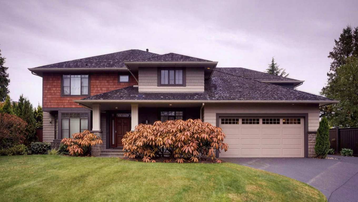
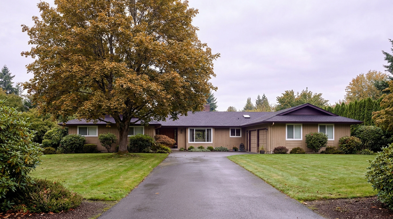
Two-story home exterior typical of the Celebration Park and Easter Lake area of Federal Way, WA
Homes near Celebration Park are mostly 1980s and 1990s two-story construction on larger, established lots.

What I See as a Valuation Expert in Celebration Park

When I price homes for institutional clients, proximity to Celebration Park tends to drive real value in this pocket of Federal Way, particularly for buyers with kids in year round travel sports who want a short drive to practice rather than a long one. A home within a few blocks of the park typically commands a premium over a comparable home ten minutes away, even when the floor plans are nearly identical.

Lot size and curb appeal matter more here than in some tighter Federal Way subdivisions, since this pocket of the city carries some of the larger lots in town. A well-maintained yard on a 10,000 square foot lot tends to draw more attention than a similar home on a smaller lot, and buyers notice the difference between original 1980s and 1990s systems and homes that have been updated.

Streets closest to Easter Lake and the park’s trail entrances tend to move first when they are priced correctly. Buyers who prioritize the park’s fields and trails over a lake view specifically will pay up for that convenience, and it shows in shorter days on market for well-priced listings in the immediate area.

Explore Celebration Park Yourself

View Celebration Park on Google Maps →

Is Celebration Park a good place to live? It works well if you want an established Federal Way neighborhood built around one of the city’s biggest recreational amenities, with larger lots and easy trail access, especially if you have kids in organized sports.

What are homes like near Celebration Park? Mostly 1980s and 1990s two-story homes, typically 1,500 to 2,800 square feet on lots between 7,000 and 12,000 square feet, some of the larger lots in this part of the city.

What schools serve this area? The area falls in Federal Way Public Schools. Per the district’s official boundary lookup, Mirror Lake Elementary feeds into Sequoyah Middle School, which carries an Auburn address despite being a Federal Way Public Schools campus, then Todd Beamer High School. Always confirm your specific address with the district before writing an offer.

How far is Celebration Park from Seattle? About 26 miles, with a 35 to 55 minute peak commute by car, or a ride on the 1 Line from Federal Way Downtown Station a short RapidRide A Line trip away.

Your guide to life outside Seattle.

Gregory Dorrell | Coldwell Banker Bain | WA License #111862
253-350-0045  ·
greg@livingoutsideseattle.com  ·
www.livingoutsideseattle.com

Buyer ResourcesFederal WayKing County CitiesSouth King County July 29, 2026

Living in Mirror Lake, Federal Way WA | 2026 Guide

Living in Mirror Lake, Federal Way means settling into one of the city’s older, calmer pockets, built around a small lake that gives the neighborhood its identity and its name. This is a Quiet Cul-de-Sac Community in the plainest sense of the term: curving residential streets, mature trees, and a housing stock that has not turned over much in fifty years. The lake itself sits at the center, with a public park on its shore and a ring of homes, some with direct water access, wrapped around it. Buyers who want an established, walkable-feeling neighborhood without paying downtown Federal Way prices keep circling back to Mirror Lake in 2026.

What is it actually like to live in Mirror Lake in 2026?

On a Tuesday morning, Mirror Lake feels unhurried compared to the commercial corridors a mile away. Cars pull out of driveways along the curving streets around the lake, most headed for S 320th Street and the on-ramp to I-5 or a short drive to the Federal Way Transit Center. The pace is steady rather than rushed. This is a neighborhood where people have lived for a while, and it shows in the mature landscaping and the general lack of construction noise.

Weekends bring more foot traffic to Mirror Lake Park, where the shoreline path draws walkers and joggers, especially once the weather turns in spring. The lake is not a swimming destination or a boating hotspot on the scale of Steel Lake across town. It is a quieter, smaller-scale amenity, and that is exactly the point for the people who chose this neighborhood over a busier part of the city.

The people who land in Mirror Lake tend to want an established address with a strong local elementary school and a short drive to everything, rather than new construction or a waterfront view lot. Compared to newer subdivisions on the city’s edges, Mirror Lake offers smaller lots but a more central location, closer to shopping, the Transit Center, and downtown Federal Way’s core services. It is a different trade-off than you get in Twin Lakes or Dash Point, and buyers who prioritize convenience over acreage notice the difference quickly.

Mirror Lake in Federal Way, Washington, the small neighborhood lake and park that gives the Mirror Lake neighborhood its name
Mirror Lake Park sits on the shore of the small neighborhood lake that anchors this Federal Way community.

Homes in Mirror Lake: What the Data Shows

Most homes in Mirror Lake date to the 1960s through the 1980s, with single-story ranch homes and split-levels making up the bulk of the housing stock. Square footage typically runs 1,400 to 2,600 square feet, on lots between 7,000 and 10,000 square feet, smaller than the acreage lots you find on the city’s outer edges but larger than the tightest infill developments. The closest ring of homes directly on the lake carries a real premium, since a handful of properties there have private dock access, something you will not find anywhere else in central Federal Way. Detached single-family homes dominate here, with scattered newer infill replacing a few of the oldest original homes over the past decade. It is not a flashy housing stock, but the school assignment and the lake setting keep it consistently in demand.

Data as of June 2026.

Market Pulse Federal Way King County
Median Sales Price (June 2026) ~$675,000 ~$998,000
Median Days on Market ~11 days ~10 days
Active Listings Change (vs. Jan 2026) +132% +127%

Figures reflect Federal Way city-level NWMLS residential data for June 2026, the most recent complete month available. Mirror Lake is a sub-area within these city figures rather than a standalone MLS reporting zone, so treat the numbers as directional for this specific pocket of the city.

Schools Serving Mirror Lake

Mirror Lake falls inside the Federal Way Public Schools district. The neighborhood’s namesake elementary school, Mirror Lake Elementary at 625 S 314th St, sits right in the neighborhood and feeds into Sacajawea Middle School, then Federal Way High School. Always confirm your specific address with the district before writing an offer, since boundary lines can shift block by block near any neighborhood edge.

Mirror Lake Elementary offers a Gifted and Talented program and Project Lead the Way curriculum for grades K through 5, which gives families some depth of options at the elementary level. Sacajawea Middle School serves grades 6 through 8 a short drive from the neighborhood, and Federal Way High School rounds out the pipeline for grades 9 through 12.

The day-in-the-life pipeline here is straightforward compared to some Federal Way neighborhoods with split feeder patterns. Elementary-age kids are close enough to walk or bike in good weather, middle schoolers typically bus a short distance, and high schoolers bus or drive to Federal Way High. It is one of the more stable, predictable pipelines in the city, which is part of why families gravitate toward this specific pocket of Federal Way.

Getting to Work from Mirror Lake

Take S 314th Street east to Pacific Highway South, then continue a short distance to the Federal Way Transit Center, and you have covered most of the commute story for Mirror Lake. The neighborhood sits close enough to downtown Federal Way that residents can drive, bike, or catch the local Metro Route 901 bus to the Transit Center for 1 Line light rail service, while I-5 remains a few minutes away by car for anyone who prefers to drive the whole way.

Destination Distance 2026 Drive Time (Peak AM) Transit Option
Downtown Seattle 25 miles 35 to 55 min 1 Line Light Rail / I-5
Amazon (South Lake Union) 26 miles 40 to 60 min Link Transfer at Westlake / Drive
Microsoft (Redmond) 33 miles 50 to 70 min Drive / SR-99 to I-405
SeaTac Airport 10 miles 15 to 25 min 1 Line Light Rail (direct) / Drive

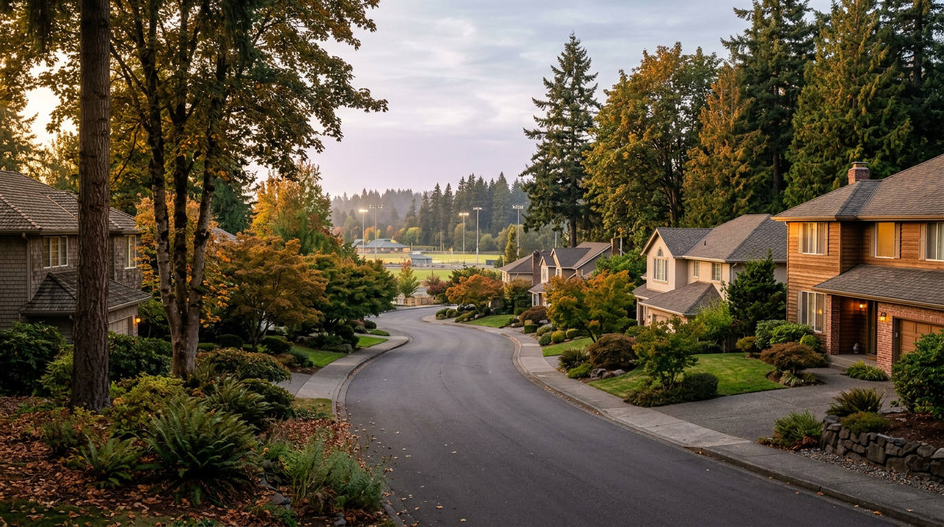
Rambler and split-level home exterior typical of the Mirror Lake neighborhood of Federal Way, WA
Mirror Lake homes are mostly 1960s to 1980s ranch and split-level construction on established, mature-treed lots.

What I See as a Valuation Expert in Mirror Lake

When I price homes for institutional clients, proximity to the lake itself tends to drive more of the value story here than almost any other single factor. A home on the immediate shoreline, especially one of the handful with private dock access, typically commands a real premium over a comparable home two or three streets back, even when the floor plans are nearly identical.

Curb appeal and system updates matter more than usual in a neighborhood built out mostly between the 1960s and 1980s. Roofs, siding, and windows on the oldest original homes are well past their expected service life in many cases, and buyers notice the difference between a home that has been maintained and one that has not. A well-kept rambler with updated systems tends to move faster and closer to list price than an identical layout that still shows its age.

School assignment is a quieter but real factor in what sells first. Mirror Lake Elementary’s reputation in the district pulls buyers who might otherwise consider a similar home in a neighborhood without a comparably regarded local school, and that demand shows up in shorter days on market for well-priced listings here.

Explore Mirror Lake Yourself

View Mirror Lake on Google Maps →

Is Mirror Lake a good place to live? It works well if you want an established, centrally located Federal Way neighborhood with a strong local elementary school and easy access to the Transit Center, without paying for new construction or a waterfront view lot.

What are homes like in Mirror Lake? Mostly 1960s to 1980s ranch and split-level homes, typically 1,400 to 2,600 square feet on lots between 7,000 and 10,000 square feet. A small ring of homes directly on the lake carries a premium, some with private dock access.

What schools serve Mirror Lake? The neighborhood falls in Federal Way Public Schools. Mirror Lake Elementary feeds into Sacajawea Middle School, then Federal Way High School. Always confirm your specific address with the district before writing an offer.

How far is Mirror Lake from Seattle? About 25 miles, with a 35 to 55 minute peak commute by car, or a ride on the 1 Line from the Federal Way Transit Center a short drive away.

Your guide to life outside Seattle.

Gregory Dorrell | Coldwell Banker Bain | WA License #111862
253-350-0045  ·
greg@livingoutsideseattle.com  ·
www.livingoutsideseattle.com

BellevueEastsideMarket InsightsSeller Resources July 28, 2026

Downsizing from Bellevue: Where Sellers Go in 2026

Sitting on a paid-down or heavily equitized Bellevue home and thinking about downsizing? You’re in a strong position. Here’s what that decision actually looks like right now, and where other Bellevue sellers are landing.

The Equity Position Bellevue Sellers Are In

Bellevue’s median home price is running around $1,450,000 as of June 2026. For an owner who bought 10 or more years ago, before Bellevue’s major run-up in values, that often means an equity position well into seven figures once the original mortgage balance is paid off. That equity is the foundation of a downsizing decision. It’s often bigger than owners realize until they get a real, current valuation.

Before deciding where to go, get an accurate number on what your specific home is worth today. Zillow-style estimates don’t account for your home’s actual condition, updates, or the specific micro-market you’re in. Here’s how I price homes: the BPO methodology.

Where Bellevue Downsizers Are Actually Going

Some Bellevue sellers downsize within Bellevue itself, moving from a larger single-family home into a condo. Keeps you in the same community, schools, and amenities you already know, and Bellevue’s condo market offers genuine options at a meaningfully lower price point than staying in a single-family home. See my Bellevue Condo Buyer’s Guide 2026.

Others move further out, to Renton, Kent, or Issaquah. Trading some of the Eastside premium for more space or a lower overall cost of living, while staying within a reasonable drive of family, friends, or medical care they’ve established in the area.

A smaller group relocates out of King County entirely, often to be closer to adult children or for a lower cost of living in retirement. Bigger decision, more variables. But worth mentioning since it’s part of the real picture for some Bellevue owners.

The Real Math on Downsizing

Downsizing isn’t just about square footage. Run the actual numbers on your specific situation. Net proceeds after selling costs, what a replacement property costs in your target location, what’s left over.

For many long-tenured Bellevue owners, the numbers work out favorably. Decades of appreciation mean your net proceeds often cover a smaller property outright, or close to it, freeing up capital for retirement, travel, or supporting family. But every situation is different. Running your specific numbers before you list matters more than following a generic rule of thumb.

What to Consider Beyond the Money

Downsizing has a real emotional component the financial math doesn’t capture. Leaving a home where you raised a family, or lived for decades, is a genuine transition. Not just a transaction. Give yourself time to think through what you actually want life to look like in the next chapter, not just what makes the most financial sense on paper.

Practical considerations matter too. Moving to a condo? Understand the HOA structure and monthly fees before you commit. Moving further out? Visit at different times of day and different seasons before deciding. Not just on one sunny weekend.

Key Takeaways

  • Get an accurate, current valuation on your Bellevue home before deciding where to downsize
  • Some sellers stay in Bellevue via condo, others move to Renton, Kent, or Issaquah for more space and lower costs
  • Run the real math on net proceeds and replacement property costs specific to your situation
  • Downsizing has a real emotional dimension. Give yourself time to think it through, not just the finances
  • HOA fees and neighborhood fit matter as much as price when choosing where to land

Frequently Asked Questions

How much equity do Bellevue sellers typically have after 10+ years of ownership?

It varies significantly by when the home was purchased and its specific appreciation, but many long-tenured Bellevue owners are sitting on substantial equity gains. Getting an accurate, current valuation is the necessary first step before making any downsizing decision, since online estimates often don’t reflect actual condition and micro-market factors.

Should I downsize within Bellevue or move somewhere more affordable?

It depends on your priorities. Staying in Bellevue via a condo keeps you close to established community, medical providers, and amenities, but at a higher price point than moving further out. Moving to Renton, Kent, or Issaquah trades some of that convenience for more space or a lower overall cost of living. There’s no universally right answer, it depends on what matters most to you in this next chapter.

What should I know about HOA fees before downsizing to a condo?

HOA fees vary widely and can add several hundred dollars a month to your housing cost beyond the mortgage. Review the HOA’s reserve study and financial health, not just the current fee amount, since an underfunded reserve can mean a special assessment down the road. Factor this into your real cost comparison against staying in a single-family home.

Thinking About Downsizing From Bellevue?

I’ve helped Bellevue owners work through this exact decision, from getting an honest valuation to weighing where to land next. Starting to think about downsizing? Happy to walk through the real numbers with you. No pressure. Just clarity.

Buyer ResourcesKing County CitiesSouth King County July 28, 2026

Living in North Federal Way, WA | 2026 Guide

North Federal Way sits along the city’s northern edge, tucked between Military Road South and I-5, with the Jovita area extending toward the Auburn and Lakeland border to the east. This is a Quiet Cul-de-Sac Community in the truest sense: older, settled streets, mature trees, and a housing stock that has not changed much in fifty years. What has changed is the transit picture. The Star Lake Link light rail station opened here in December 2025, and that is pulling new attention to a part of Federal Way that used to be an afterthought for buyers focused on downtown.

What is it actually like to live in North Federal Way in 2026?

On a Tuesday morning, North Federal Way moves at a slower pace than the city’s downtown core. Traffic on Military Road South picks up as commuters head for I-5, and a steady trickle of cars turns into the Star Lake park and ride garage for the light rail platform. It is a practical, unglamorous rhythm. Nobody is performing for anybody here. People are getting to work.

Weekends look different. The Safeway parking lot fills up Saturday late morning, and North Lake sees its steadiest foot traffic from anglers using the WDFW access point, especially once the gate opens for the season in late April. It is not a destination lake with swimming beaches or picnic shelters. It is a working neighborhood amenity, quiet and a little overlooked, which is exactly what draws people who live near it.

The people who choose North Federal Way tend to want space and quiet over walkability to shops and restaurants. Lots here run bigger than what you find in denser parts of the city, and the housing stock skews older, which means buyers are often comfortable with some updating in exchange for a lower price point and more land. It is a different crowd than you would find near the Commons or downtown Federal Way. Less foot traffic, more driveway.

North Lake fishing and boat launch access point near North Federal Way, Washington, the neighborhood's anchor natural feature
North Lake offers a quiet Washington Department of Fish and Wildlife boat launch and fishing access point in North Federal Way.

Homes in North Federal Way: What the Data Shows

Most of the housing stock in North Federal Way dates to the 1970s and 1980s, when developers built out this corridor with straightforward ramblers and split-level homes. You will see plenty of single-story ramblers with attached garages, along with split-entry designs that were standard suburban construction for that era. Square footage typically runs 1,300 to 2,200 square feet, with lots between 7,000 and 10,000 square feet, larger than what you find in newer, denser Federal Way developments. Detached single-family homes dominate here. There is very little condo or townhome inventory in this specific corridor. Newer construction is scattered rather than concentrated, mostly infill on larger original lots. It is not a flashy housing stock, but it is a durable one, and that matters to buyers looking for value per square foot.

Data as of June 2026.

Market Pulse Federal Way King County
Median Sales Price (June 2026) ~$675,000 ~$998,000
Median Days on Market ~11 days ~10 days
Active Listings Change (vs. Jan 2026) +132% +127%

Figures reflect Federal Way city-level NWMLS residential data for June 2026, the most recent complete month available. North Federal Way is a sub-area within these city figures rather than a standalone MLS reporting zone, so treat the numbers as directional for this specific pocket of the city.

Schools Serving North Federal Way

North Federal Way falls inside the Federal Way Public Schools district, but the feeder pattern here is different from what you will find on the city hub’s general summary, so it is worth double-checking your specific address. For the Military Road South and North Lake corridor, the closest documented elementary school is Star Lake Elementary, which feeds into Evergreen Middle School. Evergreen was known as Totem Middle School until a 2021 renaming (the district retired the old name and mascot under state law), so if you see “Totem” referenced anywhere, it means the same building and the same program, just under its current name.

Evergreen Middle School runs Gifted and Talented, International Baccalaureate, and Project Lead the Way programming, which gives families some depth of options once kids move past elementary. Star Lake Elementary is a straightforward neighborhood elementary school, Pre-K through 5th grade, serving the immediate area around Military Road South.

Beyond middle school, I was not able to confirm a single, address-specific high school assignment for this stretch of North Federal Way through publicly available sources. Federal Way High School, Todd Beamer High School, and Thomas Jefferson High School all serve different zones of the district, and boundary lines shift close to the city’s edges. Verify your specific address with the district before writing an offer, especially if a particular high school assignment matters to your decision.

Getting to Work from North Federal Way

North Federal Way’s biggest advantage is direct access to I-5 without cutting through downtown traffic. Most residents pick up I-5 at the Military Road South on-ramp or drive a few minutes to the Star Lake park and ride for light rail.

Destination Distance 2026 Drive Time (Peak AM) Transit Option
Downtown Seattle 22 miles 40 to 55 min 1 Line from Star Lake Station
Bellevue / Amazon 23 miles 35 to 50 min I-5 to I-405
Microsoft (Redmond) 28 miles 45 to 60 min I-5 to I-405 to SR-520
SeaTac Airport 9 miles 15 to 25 min I-5 north or 1 Line from Star Lake

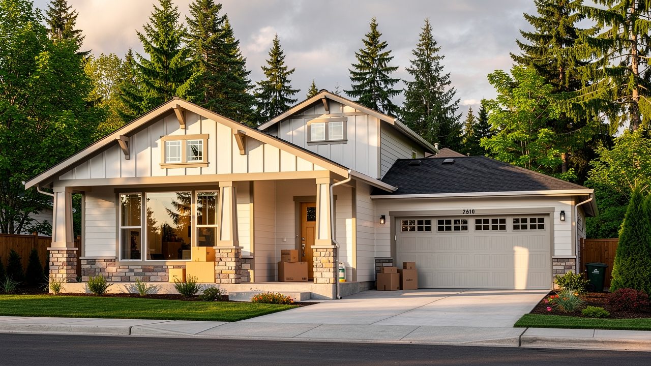
Rambler-style home exterior typical of the North Federal Way / Jovita neighborhood of Federal Way, WA
North Federal Way homes are mostly 1970s to 1980s ramblers and split-levels on larger-than-average lots.

What I See as a Valuation Expert in North Federal Way

When I price homes for institutional clients, lot size tends to drive more of the value story in North Federal Way than it does in denser parts of the city. Buyers here are paying for space, so a 9,000-square-foot lot with room for a shop or RV parking typically commands a premium over a comparable home on a standard 7,000-square-foot lot, even when the house itself is similar.

Curb appeal and deferred maintenance matter more than usual in a neighborhood built out fifty years ago. Roofs, siding, and windows on original 1970s construction are aging into replacement territory, and buyers notice. A home with updated systems and a fresh exterior tends to move faster and closer to list price than an identical floor plan that still shows its age.

Proximity to the Star Lake light rail station is becoming a real factor in what moves first. Streets within easy walking or short driving distance of the station are starting to draw more buyer interest than similar homes farther from I-5 access, and that gap is likely to widen as the light rail line matures.

Explore North Federal Way Yourself

View North Federal Way on Google Maps →

Is North Federal Way a good place to live? It works well if you want a quiet, established neighborhood with more land than you would find closer to downtown Federal Way, and you do not mind an older housing stock. Direct I-5 access and the new Star Lake light rail station are real advantages for commuters.

What are homes like in North Federal Way? Mostly 1970s and 1980s ramblers and split-level homes, typically 1,300 to 2,200 square feet on lots between 7,000 and 10,000 square feet. Detached single-family homes dominate, with very little condo or townhome inventory.

What schools serve North Federal Way? The area falls in Federal Way Public Schools. For the Military Road South corridor, Star Lake Elementary feeds into Evergreen Middle School (formerly Totem Middle School, renamed in 2021). Confirm your specific high school assignment with the district, since boundary lines shift near the edge of the city.

How far is North Federal Way from Seattle? About 22 miles, with a 40 to 55 minute peak commute by car, or a direct ride on the 1 Line from the Star Lake light rail station.

Your guide to life outside Seattle.

Gregory Dorrell | Coldwell Banker Bain | WA License #111862
253-350-0045  ·
greg@livingoutsideseattle.com  ·
www.livingoutsideseattle.com
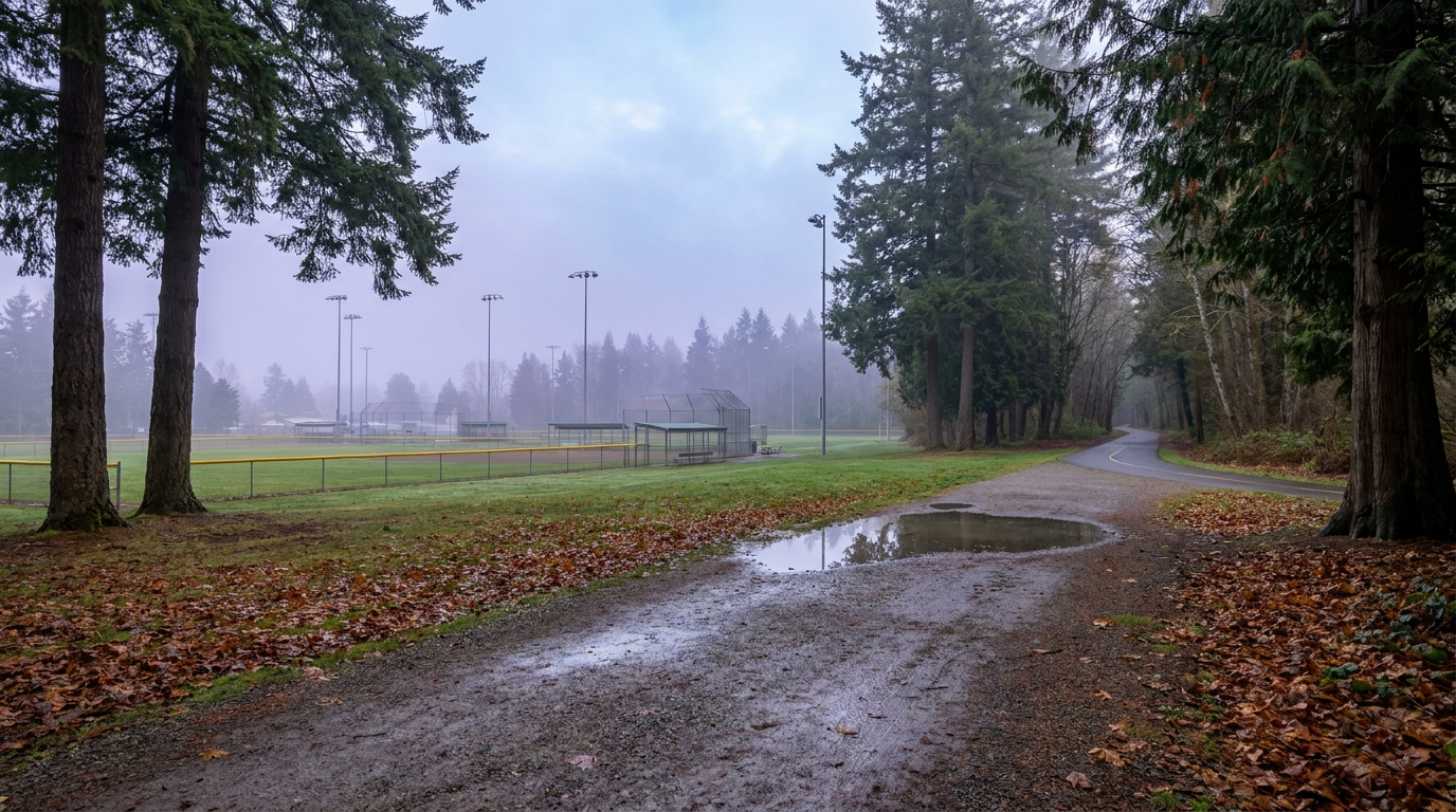

Buyer ResourcesKing County CitiesSouth King County July 27, 2026

Living in Steel Lake, Federal Way WA | 2026 Guide

Steel Lake and downtown Federal Way sit at the center of the city, and in 2026 that location is worth more than it used to be. The Federal Way Downtown Station opened in December 2025, putting light rail within walking distance of parts of this neighborhood for the first time. Add Steel Lake Park, the city’s largest community park, and the S 320th Street corridor anchored by The Commons, and you get a neighborhood that trades postcard scenery for real day-to-day convenience. This is Federal Way’s walkable urban edge, and buyers who want transit and affordability over acreage are paying attention.

What is it actually like to live in Steel Lake in 2026?

On a Tuesday morning, S 320th Street carries most of the neighborhood’s traffic toward I-5, while the residential streets around the lake stay quieter under mature trees that have shaded these blocks for decades. Dog walkers and joggers use the paved path around Steel Lake Park before the corridor picks up for the day, and walking to the Federal Way Downtown Station is genuinely practical for some of the closer-in addresses, a new enough option that residents are still getting used to it.

Weekends center on Steel Lake Park. The swim beach draws families in summer, the picnic shelters and horseshoe pits stay busy on clear afternoons, and permitted anglers fish for stocked rainbow trout and bass. The Commons and the surrounding S 320th corridor handle shopping and errands without much of a drive, which matters in a neighborhood built for convenience rather than seclusion.

Steel Lake tends to attract buyers who prioritize transit access, walkability, and price over lot size or newer construction. Long-time owners are common in the older ramblers closer to the lake, while the area near the transit station is starting to see turnover as buyers price in the new light rail connection. Compared to a golf-course community like Twin Lakes, Steel Lake reads as more urban, more transit-oriented, and more affordable.

Steel Lake Park swim beach and picnic area in Federal Way, WA, the neighborhood's anchor green space
Steel Lake Park is Federal Way’s largest community park, with a swim beach, picnic shelters, and a boat launch for non-motorized watercraft.

Homes in Steel Lake: What the Data Shows

Homes in Steel Lake and the downtown core typically run 1,200 to 2,400 sq ft on lots from 6,000 to 10,000 sq ft, among the most accessible price points in Federal Way. Most single-family homes date from the 1960s through the 1980s, with ramblers and split-levels dominant closer to the lake. Nearer downtown and the transit station, the stock skews toward smaller lots, older multifamily buildings, and newer townhome and apartment construction responding to the light rail arrival. This isn’t a neighborhood defined by one builder or era. It’s defined by its central location.

Market data as of June 2026, from NWMLS-sourced monthly exports. Figures reflect Federal Way citywide residential data, since NWMLS does not separately track neighborhood-level pricing, days on market, or inventory trend for Steel Lake specifically.

Market Pulse Steel Lake (Federal Way citywide) King County
Median Sales Price (June 2026) ~$675,000 ~$998,000
Median Days on Market ~11 days ~10 days
Active Listings Change (vs. Jan 2026) +132% (Federal Way citywide) +127%

Schools Serving Steel Lake

Wildwood Elementary, located inside the Steel Lake neighborhood itself, serves as the closest elementary option for many addresses here, followed by Sacajawea Middle School and Todd Beamer High School. All three are part of the Federal Way School District. Because downtown Federal Way sits close to several attendance boundaries, always verify your exact address against the district’s boundary map before writing an offer, since addresses on opposite sides of S 320th Street or the lake can fall into different assignments.

Wildwood Elementary is a smaller PK through 5 school serving the immediate Steel Lake area. Sacajawea Middle School continues into grades 6 through 8 with a Gifted and Talented program and a Cambridge International option, then feeds Todd Beamer High School for grades 9 through 12. The typical pipeline runs Wildwood within a short walk or bus ride for most Steel Lake addresses, then on to Sacajawea on S Dash Point Road, then Todd Beamer on 16th Avenue S. Confirm your exact attendance zone with the district before making an offer, since this central part of Federal Way sits close enough to other boundaries that assignment can shift block by block.

Getting to Work from Steel Lake

Take S 320th Street west to I-5 at exit 143, a few minutes from most Steel Lake addresses, then head north toward Seattle or south toward Tacoma. The bigger change in 2026 is the Federal Way Downtown Station, putting 1 Line light rail and RapidRide A Line bus service within walking distance of some closer-in blocks, a genuinely new option for commuters who used to be entirely car-dependent here.

Destination Distance 2026 Drive Time (Peak AM) Transit Option
Downtown Seattle 25 miles 30 to 50 min 1 Line direct from Federal Way Downtown Station
Bellevue / Amazon 23 miles 35 to 50 min I-5 to I-405 / Drive
Microsoft (Redmond) 30 miles 45 to 65 min I-5 to I-405 to SR-520
SeaTac Airport 9 miles 12 to 20 min 1 Line direct from Federal Way Downtown Station

Drive times assume the S 320th Street corridor to I-5, the fastest route from most Steel Lake addresses. Light rail travel times will settle in as ridership patterns mature following the station’s December 2025 opening.

Rambler-style home exterior typical of the Steel Lake / Downtown Core neighborhood of Federal Way, WA
Steel Lake homes are mostly 1960s to 1980s ramblers and split-levels, with newer construction concentrated closer to downtown.

What I See as a Valuation Expert in Steel Lake

When I assess homes here for institutional clients, proximity to Steel Lake Park and updated systems typically drive more of the value swing than square footage alone. A home within easy walking distance of the park tends to price above a comparable home a half-mile away, even before accounting for updates. Because so much of the stock here dates to the 1960s through 1980s, the condition of the roof, furnace, and electrical panel matters more here than in a neighborhood with newer, more uniform construction.

The arrival of the Federal Way Downtown Station has started to show up in how buyers talk about this area, even though the data hasn’t fully caught up yet. Homes within a genuine walk of the station tend to draw more interest than the raw square footage suggests, and that gap typically widens as more riders settle into using the line. HOA-free streets here also mean individual home condition and yard upkeep carry more weight than in a managed community.

Homes near Steel Lake Park, homes with updated major systems, and homes closest to the new transit station tend to move first and price strongest. Interior lots farther from both the lake and the station price more predictably and offer the most accessible entry point into Federal Way homeownership.

Explore Steel Lake Yourself

View Steel Lake on Google Maps →

Q: Is Steel Lake a good place to live?

A: Steel Lake works well if you want maximum transit access, walkable shopping along S 320th Street, and one of the more accessible price points in Federal Way. It suits buyers who value convenience and connectivity over lot size or newer construction.

Q: What are homes like in Steel Lake?

A: Most single-family homes run 1,200 to 2,400 sq ft on lots from 6,000 to 10,000 sq ft, built mostly between the 1960s and 1980s. Closer to downtown, the housing stock includes older multifamily buildings and newer townhome and apartment construction responding to the light rail arrival.

Q: What schools serve Steel Lake?

A: Wildwood Elementary, Sacajawea Middle School, and Todd Beamer High School typically serve this area, all part of the Federal Way School District. Always verify your specific address, since this central part of the city sits close to several attendance boundaries.

Q: How far is Steel Lake from Seattle?

A: Steel Lake is about 25 miles from downtown Seattle. The Federal Way Downtown Station puts 1 Line light rail within walking distance of some addresses, making the trip roughly 30 to 50 minutes depending on connections and time of day.

Your guide to life outside Seattle.

Gregory Dorrell | Coldwell Banker Bain | WA License #111862
253-350-0045  ·
greg@livingoutsideseattle.com  ·
www.livingoutsideseattle.com
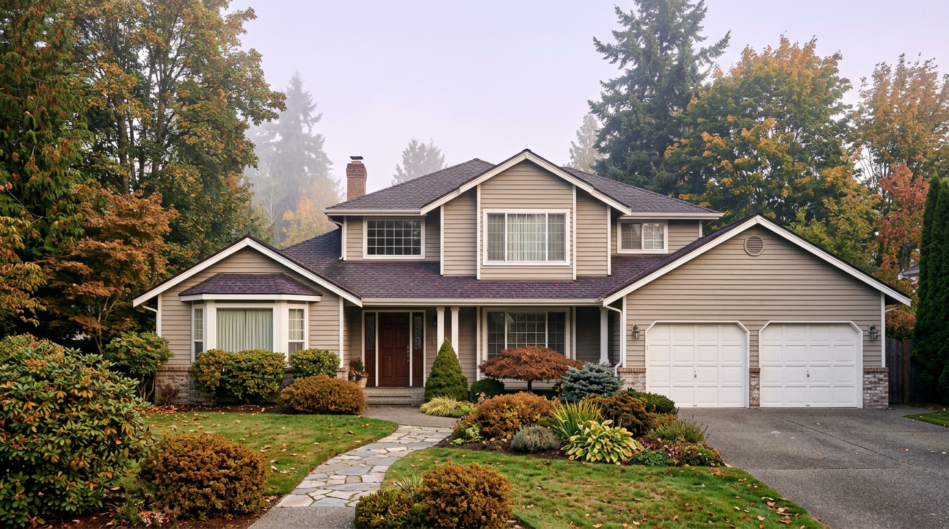

Buyer ResourcesKing County CitiesSouth King County July 26, 2026

Living in Twin Lakes, Federal Way WA | 2026 Guide

Twin Lakes sits in the western-central part of Federal Way, and it has held its identity since the community was first built out in 1966. This is one of the few Federal Way neighborhoods organized entirely around a shared amenity, in this case a private golf course and three man-made lakes, and that structure shapes everything from the HOA rules to the resale pattern. If you want a mature, well-kept neighborhood with real community infrastructure behind it, this is where to start looking in Federal Way.

What is it actually like to live in Twin Lakes in 2026?

On a Tuesday morning, the streets inside Twin Lakes are quiet well past the hour most Federal Way neighborhoods are already busy with school drop-off traffic. Mature trees planted decades ago now shade most of the interior streets, and the golf course frontage means a good share of homes back onto open green space instead of a neighbor’s fence line. Commuters heading out toward I-5 or SR-99 budget a few extra minutes to clear the neighborhood’s internal streets before picking up speed on the arterials.

Weekends center on the community’s own infrastructure. Residents walk the paths around the three lakes, and permitted anglers fish for catch and release on Lake Jeane and the other lakes under the HOA’s own rules. Twin Lakes Golf & Country Club draws golfers to the 18-hole course, and the club’s dining room and banquet space host neighborhood events and private parties throughout the year.

Twin Lakes tends to attract buyers who want an established, low-turnover community with real amenities already built in, rather than a newer subdivision still finding its identity. Long-tenured owners are common, and the HOA’s active role in maintaining parks, lakes, and common areas gives the neighborhood a more managed feel than most of Federal Way. Compared to newer-build areas like Wynstone or The Villages, Twin Lakes reads as older, greener, and more settled.

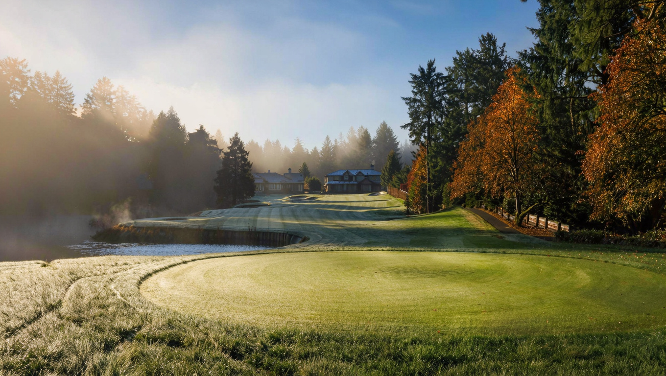
Golf course fairway and walking path beside a man-made lake in the Twin Lakes neighborhood of Federal Way, WA
Twin Lakes is built around a private 18-hole golf course and three man-made lakes, with walking paths and parks maintained by the HOA.

Homes in Twin Lakes: What the Data Shows

Twin Lakes is a planned community of about 1,356 homes, and most were built between 1972 and 1990. Typical homes run 1,800 to 3,000 sq ft on lots from 7,500 to 12,000 sq ft, with a mix of split-level, rambler, and two-story designs common to that build era. Golf course frontage and lake-view lots make up a smaller share of the total inventory and carry a real premium over interior lots. The HOA’s consistent aesthetic standards and long tenure of ownership mean turnover here tends to run lower than in newer Federal Way subdivisions.

Market data as of June 2026, from NWMLS-sourced monthly exports. Figures reflect Federal Way citywide residential data, since NWMLS does not separately track neighborhood-level pricing, days on market, or inventory trend for Twin Lakes specifically.

Market Pulse Twin Lakes (Federal Way citywide) King County
Median Sales Price (June 2026) ~$675,000 ~$998,000
Median Days on Market ~11 days ~10 days
Active Listings Change (vs. Jan 2026) +132% (Federal Way citywide) +127%

Schools Serving Twin Lakes

Most Twin Lakes addresses feed into Twin Lakes Elementary School, followed by Lakota Middle School and Decatur High School. All three are part of the Federal Way School District. Because the neighborhood spans a fairly wide footprint around the golf course and lakes, always verify your exact address against the district’s boundary map before writing an offer, since a small number of addresses near the neighborhood edge can fall into a different elementary assignment.

Twin Lakes Elementary is a smaller PK through 5 school serving roughly 370 students. Lakota Middle School continues into grades 6 through 8 with a Gifted and Talented program, Project Lead The Way curriculum, and a Cambridge International option. Decatur High School serves grades 9 through 12 with Advanced Placement coursework, a Gifted and Talented program, and an average graduating GPA of 3.34.

The typical pipeline runs Twin Lakes Elementary within a short bus ride for most addresses in the neighborhood, then on to Lakota Middle School on SW 314th Street, then Decatur High School on SW 320th Street. Families should confirm their exact attendance zone with the district, since addresses near the neighborhood’s outer boundary sometimes bus to a different elementary school.

Getting to Work from Twin Lakes

Twin Lakes sits close enough to SW 320th Street and SW 336th Street to reach I-5 or SR-99 in a few minutes once you clear the neighborhood’s internal streets. King County Metro’s Route 903 DART service connects Twin Lakes to the Federal Way Transit Center, where RapidRide A Line and the 1 Line light rail extend service north to Seattle and south to Tacoma.

Destination Distance 2026 Drive Time (Peak AM) Transit Option
Downtown Seattle 26 miles 35 to 55 min Route 903 to RapidRide A to 1 Line
Bellevue / Amazon 24 miles 40 to 55 min I-5 to I-405 / Drive
Microsoft (Redmond) 33 miles 50 to 70 min I-5 to I-405
SeaTac Airport 11 miles 15 to 25 min Route 903 to RapidRide A to 1 Line

Twin Lakes’ internal streets add a few minutes to any trip before reaching the arterials, a tradeoff most residents accept for the quieter, more established setting inside the neighborhood.

1970s and 1980s split-level home exterior typical of the Twin Lakes neighborhood in Federal Way, WA
Twin Lakes homes are mostly split-level and rambler designs built between 1972 and 1990, set on mature, tree-lined lots.

What I See as a Valuation Expert in Twin Lakes

When I assess homes here for institutional lenders, golf course frontage and lake proximity typically drive more of the value swing than square footage alone. A home backing directly onto the fairway or facing one of the three lakes tends to price above a comparable interior-lot home nearby, even when the finish level and layout are close to identical. HOA-maintained curb appeal across the neighborhood also means individual home condition stands out more clearly here than in areas with less consistent upkeep.

Because Twin Lakes has carried the same HOA structure and community identity since the 1960s, deferred maintenance on an individual home reads as more of an outlier here than in a newer subdivision where uneven quality is more common across the board. Updated kitchens and baths on an otherwise well-kept split-level or rambler tend to move the needle more here than a full remodel would in a less consistent neighborhood, since buyers are already paying for the setting and infrastructure.

Homes with confirmed golf course or lake frontage, homes on quieter interior loop streets away from SW 320th and SW 336th, and homes with updated systems tend to move first and price strongest. Interior lots without a view or fairway backdrop price more predictably and offer a lower entry point for buyers who want the neighborhood’s community infrastructure without the premium.

Explore Twin Lakes Yourself

View Twin Lakes on Google Maps →

Q: Is Twin Lakes a good place to live?

A: Twin Lakes works well if you want an established, community-driven neighborhood with a private golf course, lakes, and parks already built into the HOA structure. It suits buyers who value long-term stability and shared amenities over newer construction or a lower HOA cost.

Q: What are homes like in Twin Lakes?

A: Most homes were built between 1972 and 1990, typically 1,800 to 3,000 sq ft on lots from 7,500 to 12,000 sq ft. Golf course frontage and lake-view lots make up a smaller share of the roughly 1,356 total homes and carry a real premium over interior lots.

Q: What schools serve Twin Lakes?

A: Most Twin Lakes addresses feed into Twin Lakes Elementary, Lakota Middle School, and Decatur High School, all part of the Federal Way School District. Always verify your specific address, since assignment can vary near the neighborhood’s edges.

Q: How far is Twin Lakes from Seattle?

A: Twin Lakes is about 26 miles from downtown Seattle. King County Metro’s Route 903 connects to RapidRide A Line and the 1 Line light rail at the Federal Way Transit Center, making the trip in roughly 35 to 55 minutes depending on connections and time of day.

Your guide to life outside Seattle.

Gregory Dorrell | Coldwell Banker Bain | WA License #111862
253-350-0045  ·
greg@livingoutsideseattle.com  ·
www.livingoutsideseattle.com
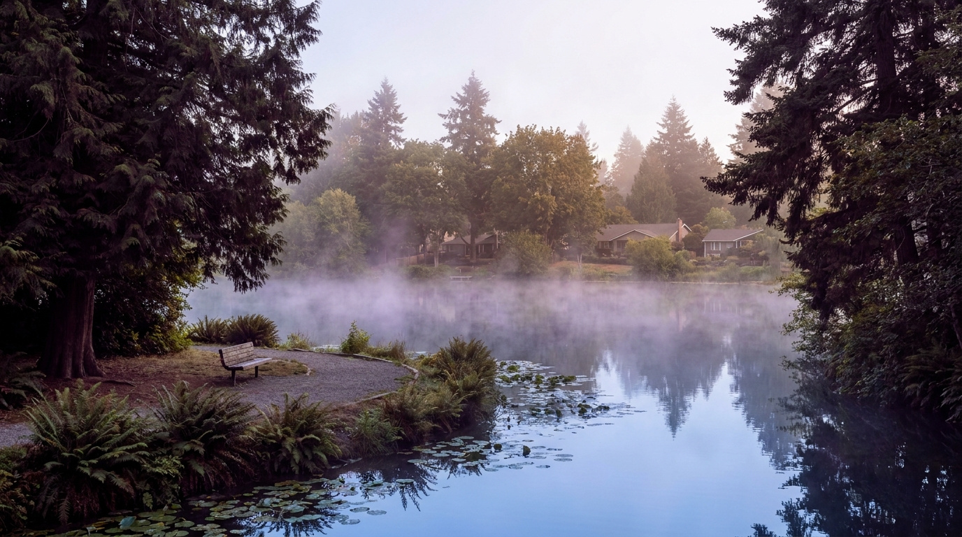

Buyer Resources July 26, 2026

Buyer Closing Costs in King County: What to Budget

Most first-time buyers plan hard for the down payment. Then closing day shows up with a second bill nobody warned them about.  I still see buyers underestimate this number more than almost anything else in the transaction. It isn’t a hidden fee. Nobody talks about it the way they talk about the down payment, so buyers assume it’s small. It usually isn’t.

Here is the honest reality: closing costs in King County typically run 2% to 5% of your purchase price, on top of your down payment. On a $600,000 home in Kent or Auburn, that is $12,000 to $30,000 in cash you need before you get the keys. Buyers who plan for it walk into closing calm. Buyers who don’t scramble for cash in the last two weeks, and sometimes lose the house over it.

What Actually Makes Up Your King County Buyer Closing Costs

Closing costs are not one fee. They’re a stack of smaller costs from different parties in the transaction. Each one shows up on your Loan Estimate, then again on your Closing Disclosure. Here is what you are actually paying for.

Lender Fees

Run 0.5% to 1.5% of your loan amount and cover the origination fee, underwriting, and processing your loan application. This is the cost of the bank doing the work to approve and fund your mortgage. If you’re weighing a rate buydown to lower your monthly payment, that cost shows up here too. I cover the tradeoffs in my mortgage rate buydown guide.

Title Insurance and Escrow Fees

Protect you and the lender against ownership disputes and handle the neutral third party that manages your transaction. In King County, escrow and title together typically run $2,500 to $4,500, depending on your purchase price and which title company you use.

Appraisal and Inspection Fees

Run $300 to $700 each. The appraisal protects the lender by confirming the home is worth what you are paying. The inspection protects you by telling you what you are actually buying.

Prepaid Property Taxes and Insurance

The line item that surprises people most. Your lender collects the first year of insurance and a portion of your property taxes up front, sometimes $1,000 to $4,500 depending on your tax bracket and insurance premium. This isn’t really a fee. It’s money you’d owe anyway. You’re just paying it earlier than you expected.

Recording Fee

What King County charges to officially record your deed. As of the 2025 fee update, recording a deed in King County runs $303 or more depending on the document. This one is small compared to the rest, but it still needs to be in your closing funds.

Buyer Closing Costs in King County: Why the Number Changes by City

King County is not one market. The same 2% to 5% closing cost range means very different dollar amounts depending on where you are buying, and that matters for how you plan your cash to close.

In Auburn, where median prices run closer to $583,000, buyers are typically looking at $11,700 to $29,150 in closing costs (see how long homes are sitting in Auburn right now for negotiating leverage). In Kent, with a median closer to $665,000, that range moves to $13,300 to $33,250. In Renton, where single-family homes often land between $650,000 and $850,000, buyers can see $13,000 to $42,500 depending on the specific property and neighborhood.

This isn’t just a math exercise. A buyer comfortable with the down payment in Auburn might need to rethink their cash reserves entirely if they widen their search into Renton. I walk these neighborhoods for BPO work most weeks. The price gap between South King County starter markets and the closer-in cities is real, and your closing cost budget needs to move with it.

Closing cost breakdown by category for King County home buyers

Five categories make up nearly all of your closing costs: lender fees, title and escrow, appraisal and inspection, prepaid taxes and insurance, and the recording fee.

Washington’s Real Estate Excise Tax (REET) is worth knowing about even though it is typically a seller cost, not yours. The state uses a graduated rate starting at 1.10% up to $525,000, plus King County’s local 0.50% addition. I break down the full schedule in my REET guide. Sellers pay this, but it factors into their bottom line and sometimes their willingness to negotiate concessions with you.

What This Means for You as a Buyer

Start budgeting closing costs the same week you start budgeting your down payment. Not after you’re under contract. Ask your lender for a Loan Estimate early, even before you write an offer, so you have a real number instead of a rule of thumb.

Ask about seller concessions when you write your offer. In a market where a seller is motivated, they can often credit some or all of your closing costs as part of the negotiation instead of a straight price reduction. This is common in King County right now, especially outside the tightest inner-ring neighborhoods.

Look into King County down payment assistance programs if your income qualifies. The Washington State Housing Finance Commission runs the Home Advantage program, with income limits up to $180,000 in King County, and House Key Opportunity, which can provide up to $10,000 toward your down payment or closing costs if your income is under roughly $147,400 in King County. These programs exist specifically because this gap catches so many first-time buyers. If Kent fits your budget and search area, my first-time buyer guide for Kent walks through financing options in more depth.

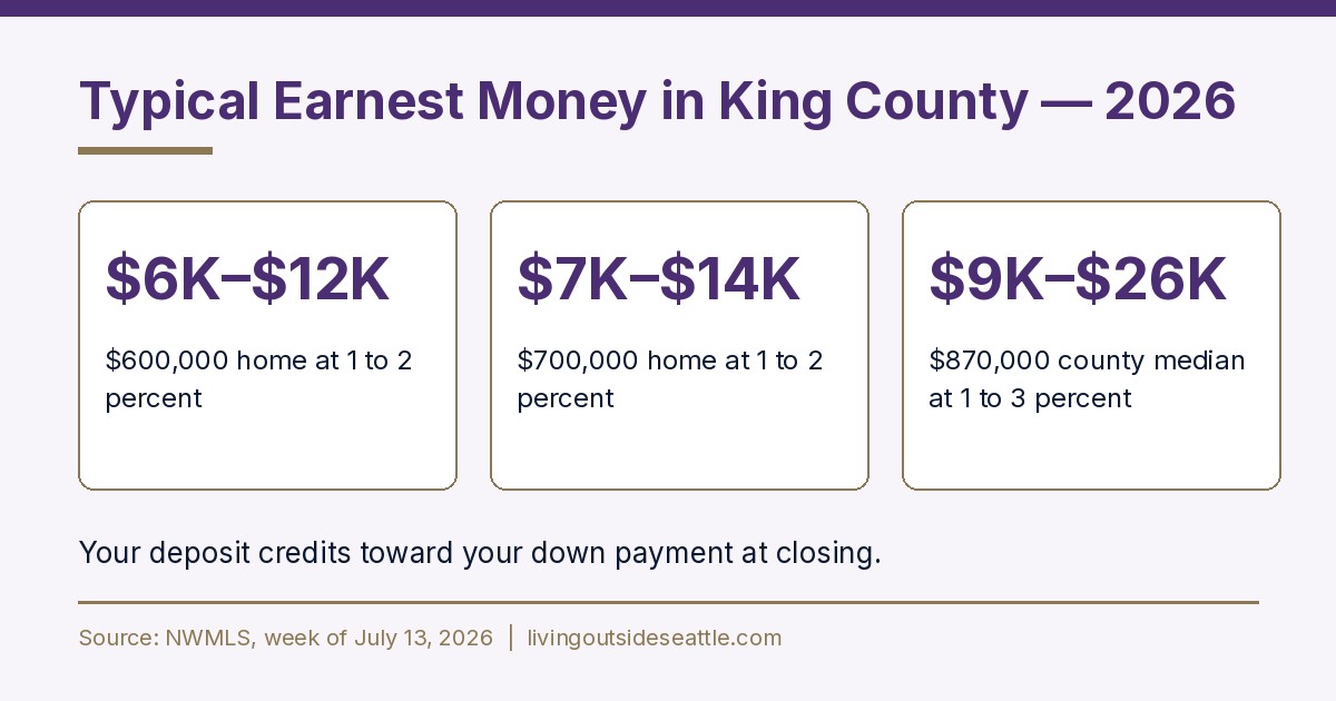
Keep your earnest money separate in your planning. Earnest money in King County typically runs 1% to 5% of your purchase price, with 3% being common in a competitive offer. This money is usually credited back toward your closing costs at the end, but you need it available and liquid the moment you go under contract, days before your other closing funds are due. I broke down exactly how much to set aside in my earnest money guide for King County buyers.

First-time home buyers outside a starter home in South King County, WA

From Kent to Auburn to Covington, the closing cost math looks different in every South King County city.

FAQ

How much are closing costs on a $600,000 home in King County?

Expect roughly $12,000 to $30,000, based on the standard 2% to 5% range. Your actual number depends on your loan type, lender fees, and the title company handling your transaction.

Are closing costs separate from the down payment?

Yes. Your down payment builds equity in the home. Closing costs pay for the services and taxes required to complete the transaction, and they are due in addition to your down payment at closing.

Can a seller pay my closing costs in King County?

Often, yes. Seller concessions toward buyer closing costs are common and negotiable, particularly when a seller is motivated. Your loan type sets a cap on how much a seller can contribute.

Is earnest money part of my closing costs?

Earnest money is a separate deposit due shortly after your offer is accepted, typically 1% to 5% of the purchase price. It is usually applied toward your closing costs at the end, but you need it available well before the rest of your closing funds.

Do first-time buyer programs help with closing costs, or just the down payment?

Both, depending on the program. Washington’s House Key Opportunity and Home Advantage programs can be applied toward down payment or closing costs, which is exactly the gap that catches most first-time buyers off guard.

Your guide to life outside Seattle.

Gregory Dorrell | Coldwell Banker Bain | WA License #111862
253-350-0045  ·
greg@livingoutsideseattle.com  ·
www.livingoutsideseattle.com
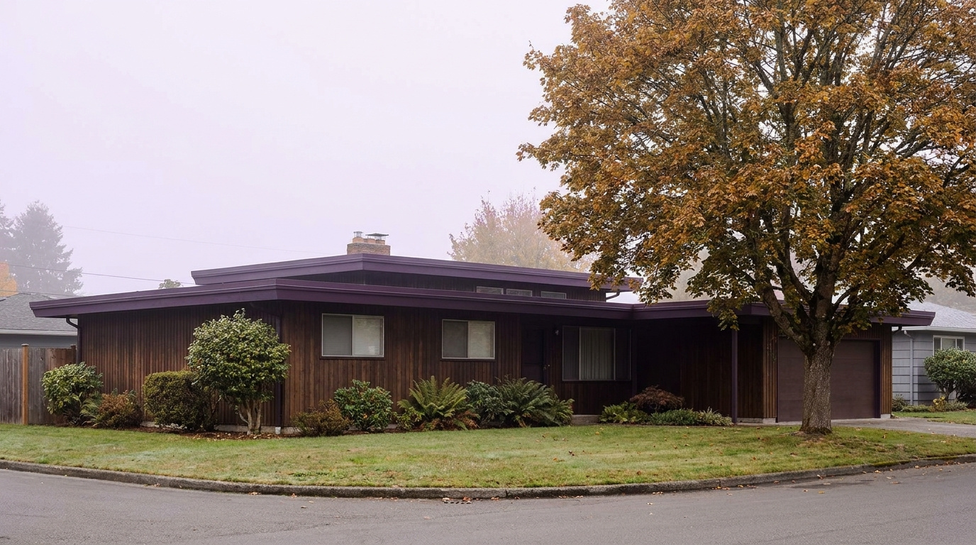
Buyer ResourcesKing County CitiesSouth King County July 25, 2026

Living in Dash Point, Federal Way WA | 2026 Guide

Dash Point sits in the northwest corner of Federal Way, and it does not look or feel like the rest of the city. This is the neighborhood with the Sound views, the forest canopy, and the sandy beach most people do not expect to find in Federal Way at all. Lakota sits just inland, sharing the same wooded, unhurried character without the waterfront premium. If you want coastal Pacific Northwest living at Federal Way prices, this corner of the city is where you start looking.

What is it actually like to live in Dash Point in 2026?

On a Tuesday morning, Dash Point Road winds through tall fir trees before the trees open up and the Sound comes into view. Traffic is light this far from the I-5 corridor, and most of what you hear driving through is wind in the trees rather than highway noise. Commuters here budget extra time to get out to Pacific Highway South or SR-509 before picking up speed, since the roads in the neighborhood itself are narrow and residential by design.

Weekends center on the park. Dash Point State Park’s beach draws walkers, kayakers, and beachcombers looking for starfish and crabs at low tide, and the trail network sees steady use from both hikers and mountain bikers. Lakota residents a few blocks inland get the same forested feel without the beach traffic, which is part of why some buyers prefer it.

Dash Point tends to attract buyers who want privacy, trees, and water views without paying Seattle or Bellevue waterfront prices. Lakota draws a similar buyer who wants the wooded setting and good school assignment without the view premium. Compared to the rest of Federal Way, this corner of the city reads as quieter, greener, and more removed from the commercial corridors that define neighborhoods like Steel Lake or South Federal Way.

Puget Sound beach and forested trails at Dash Point State Park in Federal Way, WA
Dash Point State Park gives the neighborhood 398 acres of forest, 11 miles of trails, and 3,301 feet of Puget Sound shoreline.

Homes in Dash Point: What the Data Shows

Homes in Dash Point and Lakota span a wider range of eras than most Federal Way neighborhoods, from 1960s and 1970s ramblers to newer custom builds on view lots. Most homes run 1,800 to 3,500 sq ft, with lot sizes and setbacks varying more here than in a planned subdivision, since the neighborhood grew up around the terrain rather than a single builder’s site plan. Waterfront and view-lot properties command a real premium over interior lots a few blocks inland. Lakota’s housing stock leans slightly newer and more uniform, with fewer view premiums and a more consistent price band.

Market data as of June 2026, from NWMLS-sourced monthly exports. Figures reflect Federal Way citywide residential data, since NWMLS does not separately track neighborhood-level pricing, days on market, or inventory trend for Dash Point or Lakota specifically.

Market Pulse Dash Point / Lakota (Federal Way citywide) King County
Median Sales Price (June 2026) ~$675,000 ~$899,000
Median Days on Market ~11 days ~12 days
Active Listings Change (vs. Jan 2026) +132% (Federal Way citywide) +102%

Schools Serving Dash Point

Most Dash Point and Lakota addresses attend Lake Grove Elementary School, followed by Lakota Middle School and Decatur High School. All three are part of the Federal Way School District. Because Dash Point spans a large geographic area along the waterfront, school assignment can vary by specific address, so always verify against the district’s boundary map before writing an offer.

Lake Grove Elementary offers a Gifted and Talented program and Project Lead The Way curriculum for grades PK through 5. Lakota Middle School continues both programs into grades 6 through 8, plus a Cambridge International curriculum option. Decatur High School serves grades 9 through 12 with Advanced Placement coursework, a Gifted and Talented program, and an average graduating GPA of 3.34.

The typical pipeline runs Lake Grove Elementary within a short bus ride for most Dash Point and Lakota addresses, then a bus to Lakota Middle School on SW 314th Street, then Decatur High School on SW 320th Street. Families should confirm their exact attendance zone with the district, since the waterfront and inland sections of this neighborhood can fall into slightly different bus routes.

Getting to Work from Dash Point

Dash Point’s location in the northwest corner of Federal Way means most commutes start with a drive out to Pacific Highway South or SR-509 before picking up I-5. The RapidRide A Line stops at Pacific Highway South and Dash Point Road and runs every 10 to 15 minutes toward the Federal Way Downtown transit center, where the 1 Line light rail connects north to Seattle and SeaTac.

Destination Distance 2026 Drive Time (Peak AM) Transit Option
Downtown Seattle 30 miles 40 to 60 min RapidRide A to 1 Line Light Rail
Bellevue / Amazon 28 miles 45 to 60 min I-5 to I-405 / Drive
Microsoft (Redmond) 37 miles 55 to 75 min SR-509 to I-405
SeaTac Airport 14 miles 20 to 30 min RapidRide A to 1 Line Light Rail

Dash Point sits further from the freeway than most Federal Way neighborhoods, which trades a few extra minutes of drive time for the wooded, low-traffic setting residents choose it for.

Wooded lot home exterior typical of Dash Point and Lakota neighborhoods in Federal Way, WA
Dash Point and Lakota homes range from 1960s and 1970s ramblers to newer custom builds on wooded and view lots.

What I See as a Valuation Expert in Dash Point

When I assess homes here for institutional lenders, view and waterfront proximity carry more of the value swing than in almost any other Federal Way neighborhood. A home on the bluff with a clear Sound view can price meaningfully above a comparable home two streets inland with no view at all, even when the square footage and finish level are similar. Lot size and tree cover also matter more here than in a flat, uniform subdivision, since the terrain itself varies block to block.

Curb appeal and basic maintenance matter, but in Dash Point the site itself often does more of the work than the house. A well-maintained interior-lot home a few blocks from the water typically commands a smaller premium than a modest home with an unobstructed view, which surprises some buyers used to thinking about value in square-foot terms alone.

Homes with confirmed Sound views, homes closest to Dash Point State Park, and homes with updated systems on larger wooded lots tend to move first and price strongest. Lakota’s interior, view-free lots price more predictably and offer a lower entry point for buyers who want the neighborhood’s character without the waterfront premium.

Explore Dash Point Yourself

View Dash Point on Google Maps →

Q: Is Dash Point a good place to live?

A: Dash Point works well if you want Puget Sound views, forest trails, and a quieter, wooded setting without leaving Federal Way’s price range. It is not the most convenient neighborhood for quick freeway access, so it suits buyers who prioritize setting and views over a short commute.

Q: What are homes like in Dash Point?

A: Homes range from 1960s and 1970s ramblers to newer custom builds, typically 1,800 to 3,500 sq ft. Waterfront and view lots command a real premium over interior lots a few blocks inland, and Lakota’s housing stock runs slightly newer and more consistent in price.

Q: What schools serve Dash Point?

A: Most Dash Point and Lakota addresses feed into Lake Grove Elementary, Lakota Middle School, and Decatur High School, all part of the Federal Way School District. Always verify your specific address, since assignment can vary by street.

Q: How far is Dash Point from Seattle?

A: Dash Point is about 30 miles from downtown Seattle. The RapidRide A Line connects to the 1 Line light rail at the Federal Way Downtown transit center, making the trip in roughly 40 to 60 minutes depending on connections and time of day.

Your guide to life outside Seattle.

Gregory Dorrell | Coldwell Banker Bain | WA License #111862
253-350-0045  ·
greg@livingoutsideseattle.com  ·
www.livingoutsideseattle.com

AuburnBuyer ResourcesKing County CitiesSouth King County July 25, 2026

Living in The Bridges, Auburn WA | 2026 Neighborhood Guide

The Bridges is one of the more interesting real estate stories in Auburn right now, and most buyers do not know the backstory. This master-planned neighborhood on Lea Hill was annexed from the city of Kent to the city of Auburn in 2023, after roughly 1,000 residents and 379 homes on 155 acres switched municipalities by council vote. Oakpointe built the community on land the city of Kent originally purchased in 1987 for a water reservoir project that never happened. Today it is a newer-construction, master-planned pocket of Auburn with maintained trails, a dog park, and protected wetlands built into the site plan. If you want a newer home with real amenities and you are looking at Auburn in 2026, The Bridges is worth a serious look.

What is it actually like to live in The Bridges in 2026?

On a Tuesday morning, The Bridges feels like a neighborhood still filling in. Streets are wide and curving, sidewalks are new, and you will see landscaping crews working front yards that come with maintenance built into the HOA. Commuters head out toward Lea Hill Road to connect to SR-18 or down toward Auburn Station for the Sounder train into Seattle or Tacoma. The pace is quieter than the valley floor below. Mountain views show up on a surprising number of lots, especially on the higher streets toward the east side of the community.

Weekends center on the neighborhood’s own amenities. The dog park and trail system get steady use, and the protected wetlands areas give the community a buffer of green space that many newer Auburn subdivisions do not have. Families walk to the sports court or the playground rather than driving. Green River College is close enough that some residents use its trails and campus green space as an extension of their own backyard, and the college’s continuing education classes pull in a mix of neighbors who are not traditional students.

The Bridges tends to attract buyers who want a newer, more finished product than most of Auburn offers, plus a little more polish in the streetscape. Because it was Kent land until 2023, it also draws people who already knew the area from its Kent-adjacent years and simply prefer the lower Auburn price point and tax structure. Compared to older Auburn neighborhoods like North Auburn or South Auburn, the housing stock here is dramatically newer, and the HOA-maintained common areas give it a different feel than a typical infill subdivision.

Maintained trail and dog park amenity inside The Bridges neighborhood on Lea Hill in Auburn, WA
The Bridges includes its own trail system, dog park, and protected wetlands as part of the master-planned site.

Homes in The Bridges: What the Data Shows

Homes in The Bridges are almost entirely 2000s and 2010s construction, built by Oakpointe and other builders as the master plan filled in over roughly two decades. Most homes run 2,000 to 2,900 sq ft, with three to five bedrooms and two-and-a-half bathrooms being the norm. Lots tend to be standard suburban size rather than the larger acreage lots found in some other Auburn neighborhoods, and a meaningful share of homes back onto trail corridors, wetlands buffers, or have partial mountain views depending on elevation and orientation. The finish level runs a step above much of Auburn’s older housing stock, with more consistent architectural styling across the streetscape because of the master-planned design.

Market Pulse The Bridges (98092) King County
Median Sales Price (June 2026) ~$713,000 ~$998,000
Median Days on Market ~8 days (Auburn citywide) ~10 days
Active Listings Change (vs. Jan 2026) +135% (Auburn citywide) +127%

Market data as of June 2026, from NWMLS-sourced monthly exports. The Bridges-specific median price ($713,250, single-family homes sold in the prior six months) comes from active MLS-sourced listing aggregation as of this post’s research date; median days on market and listings change reflect Auburn citywide residential figures, since NWMLS does not separately track neighborhood-level DOM or inventory trend for The Bridges.


Schools Serving The Bridges

The Bridges sits within the Auburn School District, and the neighborhood’s northeast corner of Lea Hill is generally close to Lea Hill Elementary School, with Hazelwood Elementary also nearby depending on the specific street. Students typically move on to Rainier Middle School and then Auburn Mountainview High School, both located within a mile or two of the neighborhood. Because The Bridges only fully joined Auburn in 2023 after its Kent annexation, always confirm your exact school assignment with the district before writing an offer. Boundary lines in recently annexed areas can shift, and address-level verification is the only reliable way to know for certain.

Auburn Mountainview High School offers AP coursework, 21 sports programs, and a Gifted and Talented program, and has earned multiple College Success Awards for its record preparing students for college. Rainier Middle School offers a Gifted and Talented program along with athletics, serving roughly 940 students in grades 6 through 8. Lea Hill Elementary reopened in a rebuilt facility in 2022, giving Lea Hill families a newer elementary campus than much of the rest of the district.

For a typical Bridges family, the day-in-the-life pipeline usually means walking or a short bus ride to elementary school within the neighborhood or just outside it, a bus ride to Rainier Middle School, and either a bus or a short drive to Auburn Mountainview High School for the older grades. None of these schools are within comfortable walking distance for older kids, so plan on bus service or parent drop-off as part of daily life here.

Getting to Work from The Bridges

From The Bridges, take Lea Hill Road down toward Auburn Way North, then connect to SR-18 or Highway 167 depending on your destination. King County Metro Route 181 runs along Lea Hill Road and connects to Auburn Station for Sounder commuter rail service into Seattle and Tacoma without ever touching the freeway.

Destination Distance 2026 Drive Time (Peak AM) Transit Option
Downtown Seattle 32 miles 50 to 70 min Metro 181 to Sounder
Bellevue / Amazon 22 miles 40 to 55 min SR-18 to I-405
Microsoft (Redmond) 27 miles 45 to 60 min SR-18 to I-405 to SR-520
SeaTac Airport 15 miles 25 to 35 min SR-167 to I-5

Newer construction two-story home exterior in The Bridges master-planned neighborhood, Auburn, WA
A newer-construction home typical of The Bridges, reflecting the master-planned community’s 2000s and 2010s building era.

What I See as a Valuation Expert in The Bridges

When I assess homes here for institutional lenders, the lot’s relationship to the trail and wetlands buffer tends to drive a real chunk of the value. Homes backing onto protected green space or with a genuine mountain-view sightline typically command a premium over an identical floor plan on an interior lot. Buyers pay attention to that view corridor, and it shows up consistently in what a home is willing to sell for.

HOA dues here cover the shared trail system, the dog park, common area landscaping, and front yard maintenance on many homes, which keeps the whole streetscape looking consistent. That consistency is part of what buyers are paying for, but it also means HOA rules and dues matter more here than in an older Auburn subdivision with no HOA at all. Always pull the HOA documents and understand what the dues cover and what restrictions apply before writing an offer.

Streets closer to the protected wetlands, the dog park, and the higher elevation with mountain views tend to move first and hold value best. Homes on more interior streets without those features still sell, but typically at a modest discount relative to the community’s premium lots.

The 10-Year Lens

The Bridges has a strong long-term case as a newer-construction alternative to Auburn’s older housing stock, with real amenities baked into the site plan and a lower entry price than comparable master-planned communities in Kent or Renton. The honest counter-risk: HOA dues and rules add an ongoing cost and a layer of restriction that not every buyer wants, and King County’s growing 2026 inventory means less urgency and more negotiating room for buyers than the neighborhood saw in recent years. Appreciation here will likely track the broader South King County market rather than significantly outpace it.

Frequently Asked Questions: Living in The Bridges, Auburn WA

Q: Is The Bridges a good place to live?
A: The Bridges works well if you want a newer-construction home with maintained trails, a dog park, and mountain-view potential, all within a short drive of Green River College and Auburn Station. It suits buyers who value HOA-maintained common areas and are comfortable with the dues and rules that come with them.

Q: What are homes like in The Bridges?
A: Most homes date from the 2000s and 2010s, running roughly 2,000 to 2,900 sq ft with three to five bedrooms. The median sale price was about $713,000 as of mid-2026, with homes averaging around $292 per square foot.

Q: What schools serve The Bridges?
A: Students typically attend Lea Hill Elementary or Hazelwood Elementary, then Rainier Middle School, and finally Auburn Mountainview High School, all part of the Auburn School District. Always verify your specific address with the district before writing an offer.

Q: Was The Bridges always part of Auburn?
A: No. The Bridges was originally within the city of Kent’s boundaries. In 2023, both city councils approved annexing the roughly 1,000-resident, 379-home neighborhood from Kent into Auburn.

Explore The Bridges Yourself

The best way to know if The Bridges fits your life is to drive it yourself. Walk the trail system, check out the dog park, and see which streets catch the mountain view before you fall in love with a listing photo.

View The Bridges on Google Maps

Your guide to life outside Seattle.

Gregory Dorrell | Coldwell Banker Bain | WA License #111862
253-350-0045  ·
greg@livingoutsideseattle.com  ·
www.livingoutsideseattle.com
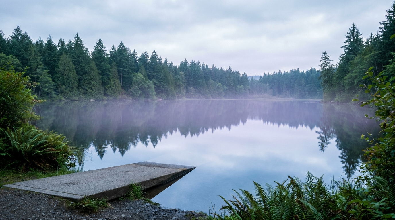

AuburnBuyer Resources July 25, 2026

Living in South Auburn, Auburn WA | 2026 Guide

South Auburn is not the neighborhood people picture when they think of Auburn real estate, and that is exactly why it is worth a look in 2026. This is the stretch of the city running along Auburn Way South toward the Muckleshoot Casino Resort and the Pierce County line. The corridor itself is heavily commercial, lined with restaurants, retail, and the tribal businesses of the Muckleshoot Indian Tribe. But tucked around and behind that commercial spine are older residential pockets where buyers can still find single-family homes at Auburn’s lowest price per square foot. If you are priced out of Lea Hill or The Bridges and want to stay in Auburn, this is where the math starts to work.

What is it actually like to live in South Auburn in 2026?

On a Tuesday morning, Auburn Way South carries steady traffic past strip malls, the Muckleshoot Casino Resort, and a mix of older single-story homes set back on side streets. This is a working corridor first. Commuters heading toward Auburn Station or south toward SR-164 and the Enumclaw Plateau use this stretch daily, and the commercial density means errands rarely require leaving the neighborhood. Residential streets tend to sit a block or two off the main drag, quieter than the corridor itself but still close enough to hear traffic on busier days.

Weekends lean toward the practical. Game Farm Park’s ball fields and paved loop trail see steady use from residents who want green space without driving across town, and the casino resort and its restaurant options draw both locals and visitors from outside Auburn. This is not a neighborhood built around a master-planned amenity package. It is a neighborhood built around convenience, affordability, and proximity to the corridor’s jobs and services.

South Auburn tends to attract buyers focused strictly on value and South King County employment proximity. Compared to Lea Hill or The Bridges, the housing stock here is older and the streetscape less uniform, but the price gap is real. This is also one of the more racially and economically diverse pockets of Auburn, shaped in part by its adjacency to the Muckleshoot Reservation and the tribal community and employment base centered there.

Paved loop trail and ball fields at Game Farm Park along the Stuck River, near South Auburn in Auburn, WA
Game Farm Park gives South Auburn residents an 88-acre community park with ball fields and a paved riverside trail.

Homes in South Auburn: What the Data Shows

Homes in South Auburn run mostly 1960s to 1990s construction, a generation or two older than the newer-build pockets on Lea Hill. Most single-family homes fall between 1,000 and 2,000 sq ft on lots from 5,000 to 8,500 sq ft, with a mix of ranch-style and split-level layouts typical of that construction era. There is no dominant master-plan builder here the way there is in The Bridges or Lakeland Hills. Instead, homes were built out gradually as individual lots and small subdivisions filled in along and behind the commercial corridor. Buyers should expect more variation in condition and updates from house to house than in Auburn’s newer neighborhoods, which is part of why per-square-foot prices run lower here than almost anywhere else in the city.

Market data as of June 2026, from NWMLS-sourced monthly exports. Figures reflect Auburn citywide residential data, since NWMLS does not separately track neighborhood-level pricing, days on market, or inventory trend for South Auburn specifically.

Market Pulse South Auburn (Auburn citywide) King County
Median Sales Price (June 2026) ~$650,000 ~$998,000
Median Days on Market ~8 days ~10 days
Active Listings Change (vs. Jan 2026) +135% (Auburn citywide) +127%

Schools Serving South Auburn

Students in South Auburn generally attend Chinook Elementary School, which sits directly on Auburn Way South, followed by Cascade Middle School and Auburn Senior High School. All three are part of the Auburn School District. Because this area covers a stretch of the city rather than a single platted subdivision, school assignment can vary block by block. Always verify your specific address against the district’s boundary map before writing an offer.

Chinook Elementary serves grades PK through 5 with a roughly 15 to 1 student-teacher ratio, slightly better than the district average. Cascade Middle School runs a Gifted and Talented program alongside its standard curriculum for grades 6 through 8. Auburn Senior High offers Advanced Placement coursework and 19 sports programs for grades 9 through 12, with an average graduating GPA of 3.36.

The typical pipeline runs Chinook Elementary within walking or short-bus distance for most South Auburn addresses, then a bus ride to Cascade Middle School on 24th Street NE, then Auburn Senior High on East Main Street. Families should confirm their exact attendance zone with the district, since South Auburn’s boundary work differently than the more uniform newer subdivisions elsewhere in the city.

Getting to Work from South Auburn

South Auburn’s location along Auburn Way South puts it close to SR-18 and SR-164 for regional access, and Auburn Station is a straight shot north on Auburn Way for anyone commuting by Sounder train.

Destination Distance 2026 Drive Time (Peak AM) Transit Option
Downtown Seattle 28 miles 45 to 65 min Sounder from Auburn Station
Bellevue / Amazon 24 miles 40 to 55 min SR-18 to I-405
Microsoft (Redmond) 30 miles 50 to 65 min SR-18 to I-405 to SR-520
SeaTac Airport 14 miles 20 to 30 min SR-167 to I-5

Single-story ranch style home exterior typical of South Auburn's older residential streets in Auburn, WA
South Auburn’s housing stock leans toward 1960s to 1990s single-story and split-level homes.

What I See as a Valuation Expert in South Auburn

When I assess homes here for institutional lenders, condition and updates carry more of the value swing than they do in Auburn’s newer subdivisions. Because construction spans several decades and building styles, two homes on the same block can price very differently depending on whether the kitchen, roof, and systems have been touched since the 1990s. Lot size and setback from Auburn Way South itself also factor in. Homes tucked a block or two off the corridor tend to hold value better than ones directly fronting the busier commercial stretch.

Curb appeal and basic maintenance matter more here than in a master-planned HOA neighborhood, simply because there is no HOA enforcing a baseline. A well-maintained older home with an updated roof, windows, and mechanical systems tends to command a real premium over a comparable unrenovated home nearby. Buyers doing their own value assessment should walk the block, not just the listing photos.

Homes set back from Auburn Way South on quieter residential streets, and homes with updated kitchens or newer roofs, tend to move first and price strongest. Proximity to Game Farm Park is also a factor buyers ask about, since it is one of the few larger green spaces in this part of the city.

Explore South Auburn Yourself

View South Auburn on Google Maps →

Q: Is South Auburn a good place to live?

A: South Auburn works well if you want Auburn’s most affordable single-family homes and easy access to Auburn Way South’s restaurants, retail, and the Muckleshoot Casino Resort. It is a more transitional, commercially dense area than neighborhoods like The Bridges or Lea Hill, so it suits buyers prioritizing value and location over a polished, uniform streetscape.

Q: What are homes like in South Auburn?

A: Most homes date to the 1960s through 1990s, running 1,000 to 2,000 sq ft on lots from 5,000 to 8,500 sq ft. Condition and updates vary significantly from house to house since there is no master-plan builder or HOA standardizing the stock.

Q: What schools serve South Auburn?

A: Most South Auburn addresses feed into Chinook Elementary, Cascade Middle School, and Auburn Senior High School, all part of the Auburn School District. Always verify your specific address, since boundaries can shift block by block in this part of the city.

Q: How far is South Auburn from Seattle?

A: South Auburn is about 28 miles from downtown Seattle. The Sounder commuter train from nearby Auburn Station makes the trip in roughly 45 to 65 minutes depending on schedule and time of day.

Your guide to life outside Seattle.

Gregory Dorrell | Coldwell Banker Bain | WA License #111862
253-350-0045  ·
greg@livingoutsideseattle.com  ·
www.livingoutsideseattle.com
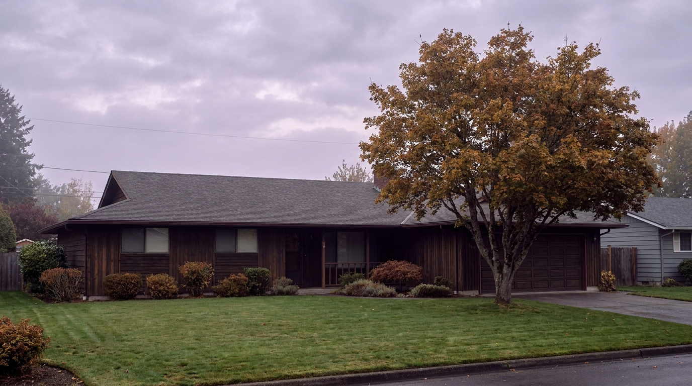

Seller Resources July 25, 2026

Cost to Sell a Home in Washington State: 2026 Breakdown

Most sellers ask me one question before anything else: “How much am I actually going to walk away with?” Not the sale price. The number after everything gets paid.

I do BPO work across east and south King County almost every day, pricing homes for banks and institutional clients. That work puts me in front of real closing statements constantly, and I can tell you the gap between what sellers expect to net and what they actually net is almost always caused by the same handful of costs. None of them are secret. Most sellers just never sat down and added them up.

Here’s the honest breakdown, King County numbers included, so you can run your own math before you decide anything.

The Big Four Costs, In Order of Size

Four costs make up almost all of what comes out of your proceeds at closing. Everything else is smaller line items. Here they are, biggest to smallest.

1. Real Estate Commission

This is the largest line item, almost every time. Washington’s average total commission sits around 5.9% right now, split between the listing agent and the buyer’s agent, though that split is negotiable and varies deal to deal. On the Eastside specifically, a lot of full-service listing agents run 2.5% to 3% on their side.

On a $900,000 sale, a 5.5% total commission is $49,500. That’s real money. It’s also the single biggest reason your net check is smaller than your sale price. It buys you something, though: professional pricing, marketing, negotiation, and someone managing the transaction so an inspection issue or a lowball appraisal doesn’t blindside you. Real estate commission are and have always been negotiable and will vary from transaction to transaction.

2. Real Estate Excise Tax (REET)

Washington charges a graduated excise tax on every home sale, and King County adds its own local portion on top. Here is the state schedule for 2026:

1.10% on the portion of the price up to $525,000

1.28% on the portion between $525,001 and $1,525,000

2.75% on the portion between $1,525,001 and $3,025,000

3.00% on anything above $3,025,000

King County adds a local REET of 0.50% on top of the state rate.

Run it on a $900,000 King County home: roughly 1.10% on the first $525,000 ($5,775) plus 1.28% on the remaining $375,000 ($4,800), for a state total near $10,575. Add the county’s 0.50% ($4,500) and you land around $15,075 in excise tax alone. Most sellers don’t plan for that number. They find out on the closing statement instead. For the full rate schedule and how it’s calculated, see Washington State Real Estate Excise Tax: Complete Guide for Sellers.

Washington State real estate excise tax bracket schedule King County 2026

Washington’s REET is graduated. King County adds its own 0.50% on top of the state rate.

3. Title Insurance and Escrow Fees

Sellers in Washington typically pay for the owner’s title insurance policy, which protects the buyer against title defects. Escrow fees are usually split roughly in half between buyer and seller. Together these run a few thousand dollars on a typical King County sale, more on higher-priced homes since title insurance premiums scale with sale price.

Budget $2,500 to $5,000 for title and your share of escrow on a mid-range King County home. Your escrow company will give you exact numbers once you’re under contract. This range holds steady across most listings.

4. Buyer Concessions

This is the cost sellers underestimate the most, and it has become more common. Roughly 19% of recent King County sales included a seller concession, according to NWMLS data from this year. Most concessions land in the 1% to 3% range, and lenders generally cap them at 2% to 6% of the purchase price depending on loan type.

Agree to cover $10,000 to $20,000 in the buyer’s closing costs, or a rate buydown to get the deal done, and that comes straight out of your proceeds. It’s not a hidden fee. It’s a negotiated one. But it needs to be in your math from day one, not something you discover mid-negotiation. Buyers are budgeting their own closing costs at the same time. If you want to understand what they’re weighing against your ask, see Earnest Money in King County: How Much You Need in 2026.

Adding It Up: A Real Example

Here’s the full math on a $900,000 King County home, close to the current county median for single-family homes.

Sale price: $900,000

Commission (5.5%): $49,500

State + King County REET: $15,075

Title insurance + seller’s escrow share: $3,500

Buyer concession (2%): $18,000

Total selling costs: $86,075 (about 9.6% of sale price)

Estimated net before payoff of existing mortgage: $813,925

That 9.6% figure sits right in the middle of the 8% to 10% range most sellers should expect. Yours will move up or down depending on your commission rate, whether you offer a concession, and where your price lands in the excise tax brackets.

Homeowner reviewing home sale net proceeds worksheet King County WA

Knowing your real number before you list means no surprises at the closing table.

The Local Angle: South and East King County Specifics

Costs shift a little depending on where in King County you are selling.

In South King County cities like Kent, Auburn, Covington, and Maple Valley, home prices run below the county median, which keeps your excise tax bill lower in dollar terms even though the percentage stays close to the same. Sellers here also tend to see fewer aggressive concession requests right now, since inventory in the affordable price bands moves faster.

In East King County, Bellevue, Sammamish, and Issaquah sellers deal with higher price points. That pushes more of the sale into REET’s higher brackets once you cross $1,525,000. Sell above that threshold and your excise tax rate jumps from 1.28% to 2.75% on the portion above it. Run that difference through a calculator before you set your list price expectations.

I price homes across both sides of the county every week through my BPO work. The pattern holds. Sellers who know their real numbers going in negotiate from a position of confidence. Sellers who find out their net at the closing table are the ones who get blindsided. (Curious how that pricing work actually happens? Here’s how I price homes using BPO methodology.)

What This Means for You as a Seller

Before you list, do three things.

Run your own numbers using your actual expected sale price, not a rough guess. A $50,000 difference in price can shift which excise tax bracket you land in.

Ask your agent for a written net sheet before you sign a listing agreement. Any agent worth hiring will walk through commission, REET, title, and a realistic concession estimate with you up front, not after you get an offer.

Decide your concession tolerance before you are in a multiple-offer or slow-market negotiation. Knowing your floor ahead of time keeps you from making an emotional decision at the table.

Getting your home ready to list is its own cost and time decision. If you haven’t mapped that out yet, start with How to Prepare Your Home for Sale in King County.

South King County neighborhood street view Kent Auburn Covington WA

Selling costs shift depending on where in King County you list. South King County sellers see a different picture than the Eastside.

FAQ

How much does it cost to sell a house in King County, Washington?

Most King County sellers pay between 8% and 10% of their sale price in total selling costs, covering commission, real estate excise tax, title insurance, escrow fees, and any buyer concessions.

What is the real estate excise tax rate in King County?

Washington’s state REET is graduated: 1.10% up to $525,000, 1.28% from $525,001 to $1,525,000, 2.75% from $1,525,001 to $3,025,000, and 3.00% above that. King County adds a local 0.50% on top of the state rate.

Who pays closing costs when you sell a house in Washington State?

Sellers typically pay the real estate commission, the excise tax, the owner’s title insurance policy, and roughly half the escrow fee. Buyers typically pay their own lender fees, their half of escrow, and inspection costs.

Can you negotiate real estate commission in King County?

Yes. Commission is negotiable and varies by agent and by deal. Washington’s average total commission is around 5.9%, but the exact split between listing and buyer’s agent is a conversation you should have before signing a listing agreement.

Do I have to pay excise tax if I sell at a loss?

Yes. Washington’s REET is based on the sale price, not your profit or loss. Even if you sell for less than you paid, you still owe excise tax on the full sale price, with limited exceptions.

How much should I budget for seller concessions in King County?

Plan for 1% to 3% of your sale price if the market conditions or buyer financing call for it. Roughly 19% of recent King County sales included a seller concession, so it is worth building into your net sheet even if you hope not to need it.

Your guide to life outside Seattle.

Gregory Dorrell | Coldwell Banker Bain | WA License #111862
253-350-0045  ·
greg@livingoutsideseattle.com  ·
www.livingoutsideseattle.com
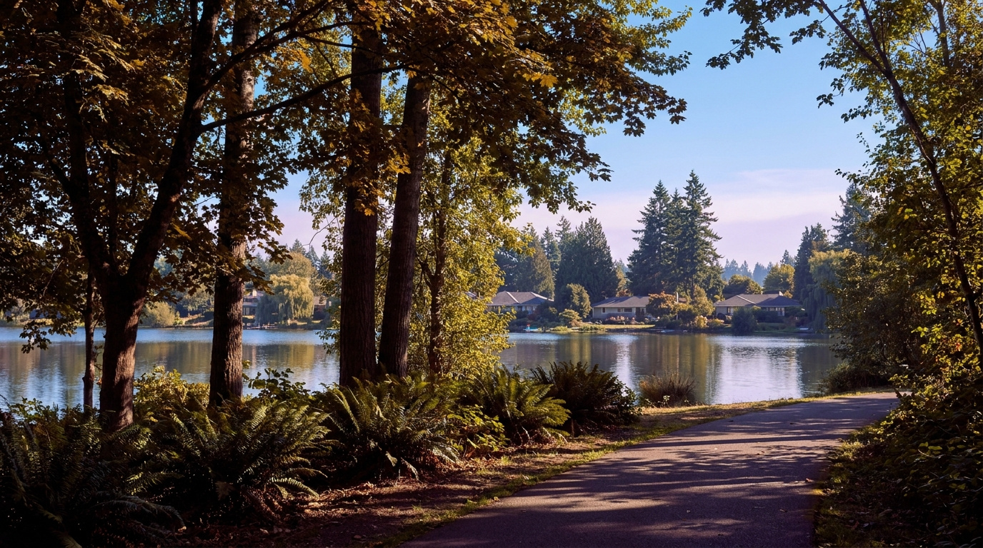
Buyer Resources July 22, 2026

Living in Cobble Creek, Auburn WA | 2026 Guide

Cobble Creek sits next to the Auburn Golf Course, tucked along the Green River on the north side of the city near the Lea Hill area. It is a Quiet Cul-de-Sac Community, one of the smaller and quieter pockets in Auburn, built mostly between 1990 and the early 2000s with custom, individually built homes rather than a single production builder’s floor plans. If you want a larger lot, an established tree canopy, and a golf course for a neighbor, this is one of the more distinctive corners of Auburn to consider in 2026.

What is it actually like to live in Cobble Creek in 2026?

A weekday morning in Cobble Creek moves at a slower pace than most of Auburn. The streets are curving and residential, lined with mature trees and the neighborhood’s distinctive old-style globe streetlights, a detail that sets it apart from Auburn’s newer subdivisions. Commuters head out toward Green River Road SE and connect to the wider road network from there, with King County Metro Route 181 running through the broader Lea Hill area toward Auburn Station and the Sounder line into Seattle and Tacoma.

Weekends here often center on the Auburn Golf Course next door, a full-service 18-hole public course with a clubhouse, pro shop, driving range, and an onsite restaurant. Residents who do not golf still benefit from having 150 acres of maintained green space and Green River frontage as a neighbor instead of another subdivision. The Green River itself runs along the edge of the neighborhood, and the broader Green River Trail system offers a car-free option for walking or biking further along the water.

Cobble Creek tends to draw buyers who want more land and a custom-built home over a production floor plan, along with the quiet that comes from a smaller street grid tucked against a golf course rather than a through-route. It is a different draw than the newer, larger-scale plateau developments elsewhere in Auburn.

Auburn Golf Course fairway along the Green River next to the Cobble Creek neighborhood in Auburn, Washington
The Auburn Golf Course and Green River sit right next to Cobble Creek, giving the neighborhood its defining green space.

Homes in Cobble Creek: What the Data Shows

Cobble Creek’s housing stock is almost entirely custom-built single-family homes, mostly two-story, constructed from 1990 through the early 2000s. Lots typically run 8,000 to 10,000 square feet, larger than the standard lot size in most of Auburn’s production-built subdivisions, and a handful of properties sit on considerably more acreage. Because these homes were built individually rather than from a single builder’s plan set, floor plans, finishes, and condition vary more than in a matched-plan subdivision. That means due diligence on any specific home matters more here than in a newer, uniform development.

A note on the neighborhood name: the Auburn city hub previously listed this area as “Cobble Creek / Verdana.” Cobble Creek is a verified, well-documented Auburn neighborhood along the Auburn Golf Course and Green River. “Verdana” does not appear as a verifiable, separately named subdivision in Auburn city records, real estate listing platforms, or local coverage as of this post’s research. This guide covers the verified Cobble Creek neighborhood and flags the hub card’s naming and location details for correction at the next hub touch.

Market data as of June 2026, from NWMLS-sourced monthly exports (Auburn citywide residential figures; Cobble Creek-specific data is not separately tracked by NWMLS, so figures reflect city-level data).

Market Pulse Cobble Creek (Auburn city-level) King County
Median Sales Price (June 2026) ~$650,000 ~$998,000
Median Days on Market (June 2026) ~8 days ~10 days
Active Listings Change (vs. Jan 2026) +135% +127%

Figures reflect Auburn citywide residential data from NWMLS InfoSparks, exported July 5, 2026. Cobble Creek does not have a separate MLS reporting area, so these numbers are city-level, not neighborhood-specific. Given the larger lots and custom construction here, homes in Cobble Creek typically price above Auburn’s citywide median.

Schools Serving Cobble Creek

Cobble Creek sits close enough to the Lea Hill area that its verified feeder pipeline runs through Hazelwood Elementary, Rainier Middle School, and Auburn Mountainview High School, all within about a mile of each other. This is a different pipeline than the Arthur Jacobsen Elementary and Cascade Middle School pairing the Auburn hub previously listed for this card. As always in Auburn School District, boundaries shift block by block, so verify your exact address before writing an offer.

Hazelwood Elementary carries a 6/10 GreatSchools rating and is known locally for strong special education support. Rainier Middle School, about a mile away, offers a Gifted & Talented program and two sports. Auburn Mountainview High School, the closer of Auburn’s comprehensive high schools to this part of the city, offers AP coursework, a Gifted & Talented program, and 21 sports for students moving through the full pipeline.

Given Cobble Creek’s location along Green River Road SE, driving or busing to all three schools is typical rather than walking, since the golf course and river frontage separate the neighborhood from the school sites by a short but non-walkable distance. Auburn School District runs bus routes covering this stretch of the city.

Getting to Work from Cobble Creek

Cobble Creek’s location along Green River Road SE puts most regional commutes on a short connector drive before reaching SR-167 or Auburn’s main arterials. King County Metro Route 181 runs through the broader Lea Hill and Green River College area toward Auburn Station, where the Sounder S Line offers a commuter rail alternative into Seattle and Tacoma without driving the whole way.

Destination Distance 2026 Drive Time (Peak AM) Transit Option
Downtown Seattle 32 miles 50 to 70 min Auburn Sounder Station (S Line)
Bellevue / Amazon 26 miles 45 to 60 min SR-167 to I-405
Microsoft (Redmond) 31 miles 50 to 65 min SR-167 to I-405 to SR-520
SeaTac Airport 16 miles 25 to 35 min SR-167 to I-5

Custom-built two-story home exterior on a large lot in Cobble Creek, Auburn, Washington
A custom-built two-story home representative of Cobble Creek’s late-1980s to early-2000s housing stock.

What I See as a Valuation Expert in Cobble Creek

When I assess homes here for institutional lenders, lot size and golf course proximity tend to drive more of the value than they do in a standard Auburn subdivision. Custom-built neighborhoods like this one carry more variation from house to house than a matched-plan development, so the specific home’s condition, layout quality, and updates matter more than the neighborhood average. A larger, well-maintained lot on a quiet interior street typically supports a stronger valuation than a similar-sized home on a smaller lot closer to Green River Road.

Because these homes were built individually rather than from a builder’s catalog, curb appeal and maintenance history vary more here than in newer Auburn developments. Homes with updated systems and clear pride-of-ownership maintenance typically draw stronger buyer interest than homes with deferred maintenance, even when the floor plan and lot are comparable.

Golf course adjacency and larger lot sizes typically command a premium in this kind of setting, though buyers should weigh that against Cobble Creek’s smaller size and the fact that resale comparables are limited given how few homes trade here in a given year.

Explore Cobble Creek Yourself

The best way to get a feel for Cobble Creek is to drive it yourself. Head to Green River Road SE near the Auburn Golf Course and take a few of the interior streets to see the mix of custom homes firsthand.

View Cobble Creek on Google Maps →

Is Cobble Creek a good place to live? Cobble Creek suits buyers who want a larger lot, a custom-built home, and a quieter setting next to a golf course and the Green River, rather than a newer, denser subdivision.

What are homes like in Cobble Creek? Most homes are custom-built, two-story single-family houses from 1990 through the early 2000s, typically on lots between 8,000 and 10,000 square feet, with some properties on larger acreage.

What schools serve Cobble Creek? Students typically attend Hazelwood Elementary, Rainier Middle School, and Auburn Mountainview High School, though exact boundaries vary by address within Auburn School District.

Is Cobble Creek the same as “Verdana”? The Auburn hub previously paired Cobble Creek with a “Verdana” community. Cobble Creek is a verified neighborhood along the Auburn Golf Course and Green River. “Verdana” could not be verified as a separately documented Auburn subdivision, so this guide covers Cobble Creek only.

How far is Cobble Creek from Seattle? Cobble Creek is about 32 miles south of downtown Seattle. The Auburn Sounder Station offers a commuter rail alternative to driving SR-167 or I-5 during peak hours.

Your guide to life outside Seattle.

Gregory Dorrell | Coldwell Banker Bain | WA License #111862
253-350-0045  ·
greg@livingoutsideseattle.com  ·
www.livingoutsideseattle.com
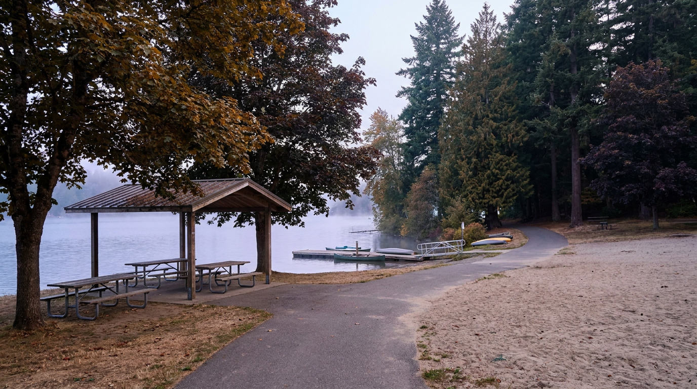

Seller ResourcesSouth King County July 22, 2026

Sell As-Is or Repair First? Federal Way Seller Guide 2026

I walk through Federal Way homes almost every week doing professional property valuations for banks. And the question I hear most from sellers here isn’t about price. It’s about repairs. Fix the place up first, or just sell it as-is?

The honest answer: it depends on which repairs. Most cosmetic projects won’t pay you back. A few specific fixes almost always will. Here’s how to tell the difference in the current Federal Way market.

What the Federal Way Market Says Right Now

Numbers first. As of mid-July, the median list price for a Federal Way house is running around $675,000. Almost half the active listings in the city, about 45 percent, have already taken at least one price cut. Homes that do sell are going in roughly three weeks. Full market picture in my Living in Federal Way guide.

Federal Way WA housing market July 2026, median list price, price cuts, days on market

NWMLS data, week of July 13, 2026: $675K median residential list price, 45% of actives with a price cut, sales closing in roughly three weeks.

What does that mean for your repair decision? Buyers have choices right now. When buyers have choices, condition matters more. A home that shows well sells. A home with visible problems joins the 45 percent taking price cuts.

Repairs That Usually Pay You Back

Water is the big one. Fix any active leak before you list. Roof, plumbing, gutters, all of it. Buyers in the Pacific Northwest are trained to sniff out moisture problems, and one water stain on a ceiling can cost you more in negotiation than the repair ever would.

Same with safety items. Bad electrical. A failing water heater. Broken railings, missing smoke detectors. These are the things a home inspector flags in bold, and they’re cheap to handle now versus expensive to argue about later. I cover what that inspection looks like in my seller’s guide to home inspections.

Then there’s the cheap stuff that’s really about presentation. Deep cleaning, fresh neutral paint in the main rooms, yard cleanup and moss treatment. None of that is technically a repair. It’s still the highest-return money you can spend before listing.

Repairs That Usually Don’t Pay Back

Big remodels rarely return their cost at sale. A $60,000 kitchen renovation doesn’t add $60,000 to your Federal Way sale price. Buyers here shop in a specific price band, and the neighborhood puts a ceiling on what they’ll pay. I price homes in this city every week, and remodeled homes and original homes settle a lot closer together than most sellers expect.

New flooring throughout, full bathroom gut jobs, finishing unfinished spaces. Usually the same story. If the money won’t come back, it’s often smarter to price the home for its condition and let the buyer make those choices.

What Selling As-Is Actually Means in Washington

Here’s where first-time sellers get tripped up. Selling as-is doesn’t let you skip disclosure. Washington still requires the Form 17 seller disclosure statement, and you still have to answer honestly about what you know. As-is tells buyers up front you won’t be making repairs. It doesn’t make problems disappear.

How I Run the Math With Sellers

The question isn’t whether to fix everything. It’s whether a specific repair returns more than it costs, after the time and stress of doing it. Sometimes a $4,000 fix protects $15,000 of price. Sometimes a $30,000 project returns $12,000. You want the first kind. The only way to know which is which is to run real numbers on your house against real Federal Way comps. Pricing it right matters either way, and my guide to pricing your home to sell in King County walks through how that works.

A Simple Decision Checklist

Before you spend a dollar on pre-listing work, run through this list:

  1. Fix anything involving water, active leaks, drainage, or moisture damage
  2. Fix safety items an inspector will flag: electrical, railings, smoke detectors
  3. Budget for cleaning, paint, and yard work before any bigger project
  4. Skip major remodels unless the numbers prove the return
  5. If selling as-is, complete the Form 17 disclosure honestly and price for condition
  6. Ask your agent for an as-is value and an after-repair value before deciding

Frequently Asked Questions

Can I sell my house as-is in Washington state?

Yes. Selling as-is is legal and common in Washington. You still have to complete the Form 17 seller disclosure statement honestly, and buyers can still inspect the home. As-is simply tells buyers up front that you don’t plan to make repairs.

Do I lose money selling a house as-is in Federal Way?

You typically net less than a comparable move-in-clean home, but not always less than the cost of major repairs plus months of project time. The right comparison is your as-is value against your after-repair value minus repair costs. Sometimes as-is wins that math, especially when the needed work is cosmetic or the repairs are large remodels that don’t return their cost.

What repairs are required to sell a house with an FHA or VA buyer?

FHA and VA appraisers flag health and safety items: peeling paint in older homes, missing handrails, broken windows, roof or water damage, and non-working systems. The lender can require those repairs before closing even on an as-is sale, so at Federal Way price points it’s smart to handle obvious safety items before listing.

Your guide to life outside Seattle.

Gregory Dorrell | Coldwell Banker Bain | WA License #111862
253-350-0045  ·  greg@livingoutsideseattle.com  ·  www.livingoutsideseattle.com
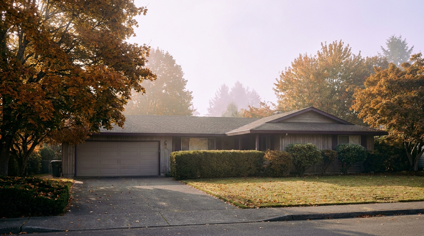
Gregory Dorrell is a licensed real estate broker (WA License #111862) with Coldwell Banker Bain. Market data from NWMLS, week of July 13, 2026. Statistics are market-wide and not a guarantee of any individual outcome. This post is provided for informational purposes and does not constitute financial or legal advice.

Market InsightsSeller Resources July 22, 2026

Seller Concessions in King County: A Full Guide

Give a buyer a reason to say yes without cutting your price. Here is how concessions actually work in today’s market.

I do BPO work across east and south King County every day, and lately I am seeing the same request show up in offer after offer: a concession. Not a lower price. A credit, a buydown, a repair allowance. Something that makes the deal pencil out for the buyer without touching the number on the listing.

If you are selling right now, you need to understand what a concession actually is, what it costs you, and when it works better than just dropping your price. This is not the same conversation everywhere in King County. What makes sense in a still-tight Renton starter home market is not what makes sense if you are selling a condo in a building with 3 competing listings.

What a Seller Concession Actually Is

A concession is money you agree to give back to the buyer at closing, structured a specific way in the purchase agreement. It shows up on the closing statement, not as a lower list price. The home still sells for its listed number. You are just contributing part of your proceeds toward the buyer’s costs.

Three types show up most often in King County deals right now.

Closing Cost Credit

The simplest concession. You agree to cover 2% to 3% of the buyer’s closing costs: their lender fees, title insurance, escrow charges. This helps buyers who have the income to qualify for the loan but are short on cash to actually close. First-time buyers in Kent and Auburn run into this constantly. They can afford the payment. They cannot afford to also come up with $18,000 in closing costs on top of a down payment.

Rate Buydown

Instead of paying closing costs, you deposit money into an account that temporarily or permanently lowers the buyer’s interest rate. A temporary 2-1 buydown drops the rate by 2 points in year one and 1 point in year two, then it reverts to the full note rate. A permanent buydown pays discount points at closing to lower the rate for the life of the loan. I wrote a full breakdown of how buydowns work and what they cost in the mortgage rate buydown guide if you want the mechanics. Short version here: buydowns solve a monthly payment problem, not a cash-to-close problem.

Repair Credit

Covers something the inspection turned up that you would rather pay for in cash than fix yourself. Common when you are selling an older home in Auburn or Federal Way and the inspection flags a roof with a few years left, an aging water heater, or electrical panel work. If you want to know what an inspector is actually going to flag before it becomes a negotiation, my home inspection seller guide walks through it. You give the buyer money instead of hiring a contractor and managing the repair on your own timeline.

Home Warranty

The smallest concession and often the easiest yes. A one-year policy runs $500 to $700 and gives the buyer coverage on major systems and appliances. It is a low-cost way to close a deal that is close but not quite there.

Infographic comparing four types of King County seller concessions: closing cost credit, rate buydown, repair credit, home warranty

The four concession types King County sellers see most, side by side.

Concessions vs. a Price Reduction: They Solve Different Problems

This is the part sellers get backwards most often. A price reduction and a concession are not interchangeable. They fix different symptoms.

A price reduction fixes a visibility problem. If your home is not showing up in buyer searches, if you are getting almost no traffic, the number is too high for how the market is searching. Buyers filter by price range online before they ever see your listing. Drop the price and you show up to a new set of buyers who never saw the home before. If you want the full picture on getting the number right from the start, I cover that in how to price your home to sell in King County.

A concession fixes a conversion problem. If you are getting showings, even good ones, but no offers, buyers are seeing the home and still walking away. That usually means the home is priced fine but something else is stopping them: they cannot cover cash to close, the payment is a stretch at current rates, or an inspection issue is spooking them. A concession addresses that specific friction without resetting your price in the public record.

The honest reality: if your home has been sitting with almost no showings for three or four weeks, no concession fixes that. You need a price adjustment. If your home is getting showings and going under contract twice only to fall through at inspection or financing, a concession targeted at the actual reason those deals died is usually the smarter move.

How Much Does a Concession Actually Cost You

Run the math before you agree to anything. A $700,000 King County sale with a 3% closing cost credit costs you $21,000 off your net proceeds. That sounds like a lot until you compare it to a straight $21,000 price cut, which also reduces your net by $21,000 but resets the public sale price and can affect appraisal comps for every home that sells near you afterward, including your neighbors’. If you want to see how a concession fits into your full cost-to-sell picture alongside commission and excise tax, I broke down the complete math in what it costs to sell a home in Washington State.

There is a real limit here too. Conventional loans cap seller concessions based on the buyer’s down payment: buyers putting down less than 10% are typically capped around 3% of the sale price, buyers putting 10% to 25% down can usually go up to 6%, and buyers putting 25% or more down can go higher. FHA and VA loans have their own caps, generally more generous on FHA and capped differently on VA. Your agent needs to check the buyer’s loan type before you agree to a number, because a concession that exceeds the cap does not get approved by the lender. It just falls apart at underwriting after you have already accepted the offer.

The Local Angle: King County Specifics

King County is not one market right now, and that matters for this decision specifically.

Single-family inventory in tight submarkets like Renton and parts of Kent is still moving fast enough that concessions are less common. If you are selling a well-priced starter home in a walkable Renton neighborhood, you likely will not need to offer one. Multiple offers are still happening in that segment, and buyers competing against each other are not asking sellers for closing cost help.

Condos and higher price bands are a different story. Inventory has grown across King County through 2026, and condo buyers especially are negotiating harder. If you are selling a condo in Bellevue or a higher-priced single-family home in Sammamish or Issaquah, expect concession requests to be part of most serious offers. Buyers in this segment have more choices, and they know it.

South King County cities like Auburn, Federal Way, and Covington see concessions most often tied to closing cost help for first-time buyers, since that is the dominant buyer profile in those markets. East King County concessions more often show up as rate buydowns, because buyers there are stretching further on payment relative to income and a lower rate does more for their monthly budget than a closing cost credit would.

Know which buyer profile you are selling to before you decide what concession, if any, makes sense.

What This Means for You as a Seller

Do not offer a concession preemptively before you have any offers or real market feedback. Wait until you have data: showing counts, buyer agent feedback, whether offers are coming in and falling through. A concession should respond to a specific, identified problem, not a guess.

When an offer comes in asking for a concession, ask your agent what type and why. A buyer asking for a rate buydown has a monthly payment concern. A buyer asking for a closing cost credit has a cash concern. Those point to different underlying situations and tell you something about how close that buyer actually is to being able to complete the purchase.

Compare the concession cost to your next-best alternative, which is usually sitting on the market longer while carrying your mortgage, taxes, and insurance, or dropping your price instead. Run the real numbers both ways before you say yes or no.

Real estate closing table with buyers reviewing paperwork, King County Washington home sale

Concessions are negotiated privately and settled at the closing table, never disclosed in public listing history.

Frequently Asked Questions

Do I have to offer a concession to sell my home in King County?

No. Whether a concession makes sense depends on your specific market segment, your showing activity, and buyer feedback. Many single-family sellers in tighter King County submarkets sell without ever offering one.

Is a concession the same as paying the buyer’s agent commission?

No, those are separate line items on the closing statement, though both come out of your net proceeds. A concession specifically covers the buyer’s closing costs, rate buydown, or repairs. Earnest money is a separate deposit entirely, from the buyer’s side — see earnest money in King County if a buyer’s offer has you wondering how that piece works.

How do I know if a buyer’s concession request is within loan limits?

Your agent should confirm the buyer’s loan type and down payment percentage before you counter or accept. Conventional loan concession caps scale with down payment size, and FHA and VA loans each have their own separate limits.

Does offering a concession make my home look desperate?

Not if it is not disclosed publicly and not offered until you have a specific reason to. Concessions are negotiated privately within an accepted offer. They do not appear as a price change in public listing history the way a price reduction does.

Can I offer a concession and still get close to full asking price?

Yes, and that is often the entire point. A concession lets you hold your list price while still closing the gap that is stopping a buyer from moving forward. That is different from a price cut, which lowers the number everyone sees.

Should I offer a concession before listing or wait for an offer?

Wait. Offering one before you have any market feedback means giving away money you might not have needed to. Let the first two to three weeks of activity tell you whether a concession is actually the problem you need to solve.

Your guide to life outside Seattle.

Gregory Dorrell | Coldwell Banker Bain | WA License #111862
253-350-0045  ·
greg@livingoutsideseattle.com  ·
www.livingoutsideseattle.com
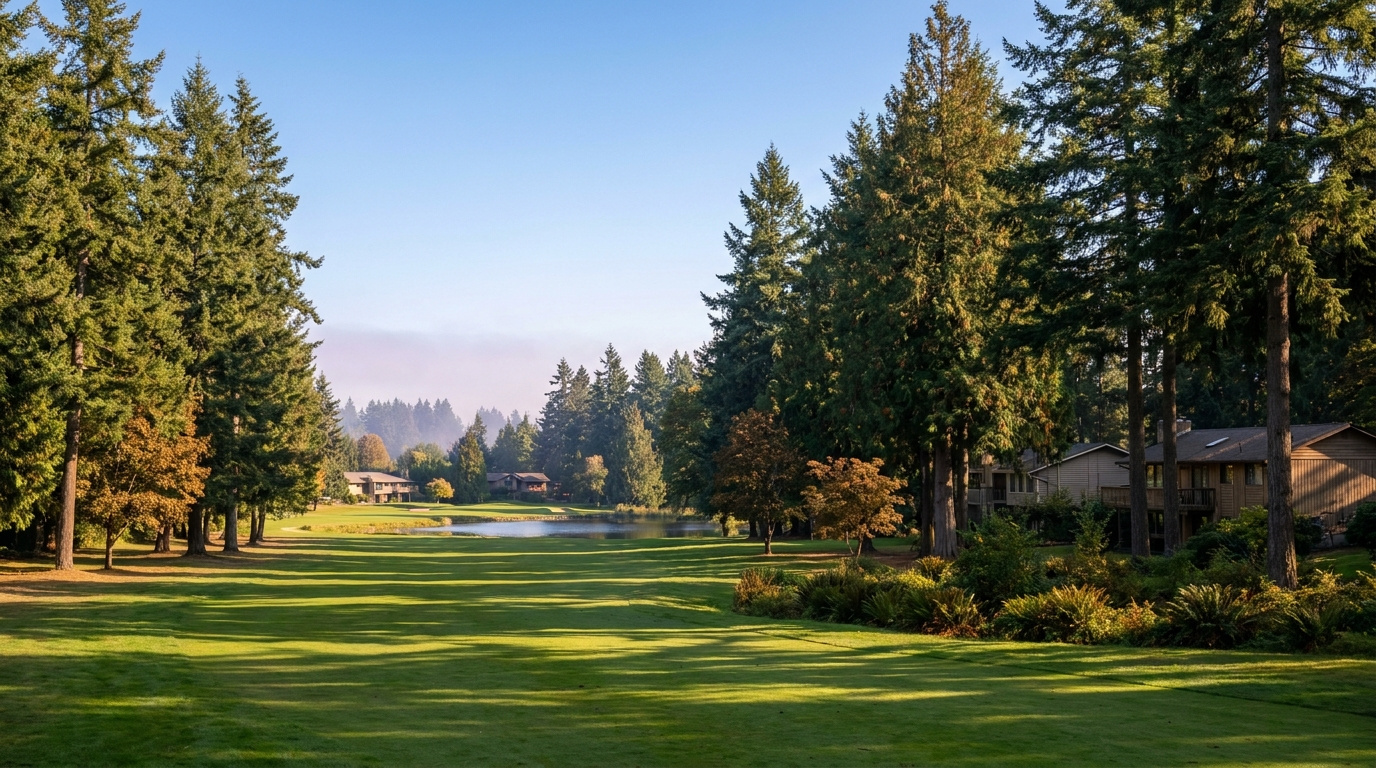
Buyer Resources July 21, 2026

Relocating to Federal Way WA: 2026 Newcomer Guide

If you’re relocating to King County and Federal Way is on your list, you’re looking at one of the more affordable options with genuine access to both Seattle and Tacoma. Here’s what actually matters before you commit.

Why People Relocate to Federal Way

Federal Way sits between Seattle and Tacoma along the I-5 corridor, which makes it workable for commuters headed either direction. It’s also one of the more affordable cities in South King County. That matters a lot for relocating families comparing costs against wherever they’re coming from.

For a full breakdown of specific neighborhoods and what each one offers, I put together a complete guide here: Living in Federal Way, WA. This post is about what relocating buyers specifically need to know before making the jump.

What It Costs to Relocate to Federal Way

Federal Way’s home prices sit below the King County median, with a median around $580,000 as of June 2026, making it one of the more accessible relocation targets in South King County.

Relocating from out of state, especially from California or parts of the Midwest? The price difference can be dramatic in either direction depending on where you’re coming from. Run the actual comparison instead of assuming based on reputation alone. A lot of relocating buyers are surprised, pleasantly or not, once they see real numbers side by side.

Commute Reality for Federal Way

Federal Way’s I-5 access means a straightforward drive to both Seattle and Tacoma. But “straightforward” doesn’t mean fast during peak hours. Budget 40 to 60 minutes to downtown Seattle depending on traffic, closer to 20 to 30 minutes to Tacoma.

Job flexible on hybrid or remote work? Federal Way’s commute math looks a lot better than it does for someone commuting five days a week into downtown Seattle. Be honest about your actual commute pattern before deciding on location purely based on price.

What Surprises Relocating Buyers About Federal Way

Most newcomers underestimate how much variety exists within Federal Way itself. Some areas sit close to Puget Sound with real water access and views. Others are more inland, quieter, further from the retail core. The city has also seen real investment in recent years, and areas that had a certain reputation a decade ago don’t necessarily reflect the current reality.

The other common surprise: how much further your money goes here compared to Renton, Kent, or anywhere on the Eastside. For relocating families with a fixed budget, that gap can mean the difference between a starter condo and an actual single-family home with a yard.

Schools and Family Considerations

Federal Way Public Schools covers a large service area. Like most King County cities, specific school assignment can vary significantly by street, not just by neighborhood name. Relocating with kids? Research the specific school your target address feeds into before you commit. Not after.

Key Takeaways

  • Federal Way offers genuine I-5 access to both Seattle and Tacoma at a price point below the King County median
  • Commute times vary significantly by time of day. Budget realistically, not optimistically
  • The city has more internal variety than its reputation suggests. Visit multiple areas before deciding
  • Relocating buyers often get meaningfully more home for their money here than in Renton, Kent, or the Eastside
  • School assignment can vary by street, so research the specific address, not just the neighborhood

Frequently Asked Questions

Is Federal Way WA a good place to relocate to in 2026?

Yes, particularly for buyers prioritizing affordability and access to both Seattle and Tacoma. Federal Way’s I-5 location and below-median home prices make it one of the more accessible relocation targets in South King County, though commute times to downtown Seattle can run 40 to 60 minutes during peak hours.

What is the commute like from Federal Way to Seattle?

Expect 40 to 60 minutes to downtown Seattle depending on traffic and time of day. The commute to Tacoma is typically shorter, around 20 to 30 minutes. Buyers with hybrid or flexible schedules find the commute math considerably more favorable than five-day-a-week commuters.

What should relocating families know about Federal Way schools?

Federal Way Public Schools covers a wide service area, and school assignment can vary by specific street even within the same general neighborhood. Always confirm the exact school assignment for a target address before committing, rather than assuming based on the neighborhood’s general reputation.

Thinking About Relocating to Federal Way?

I walk properties across South King County regularly for professional valuations, plenty of time spent in Federal Way. Relocating and want an honest, current read on the city? Happy to help.

AuburnKing County Neighborhoods July 21, 2026

Living in Terrace View, Auburn WA | 2026 Guide

Terrace View sits in Auburn’s North Auburn corridor, the stretch of the city running between downtown and the Kent line along Auburn Way North. If you want the lowest price of entry into Auburn and don’t mind putting some sweat equity into an older home, this is one of the first places I point buyers. Most homes here went up in the 1960s through the 1980s, on lots that give you a real yard without a master-planned community price tag. This is a Family-First Established neighborhood, and in 2026, it’s still one of the more affordable ways into Auburn’s housing market.

What is it actually like to live in Terrace View in 2026?

A weekday morning here starts with Auburn Way North carrying commuters south toward downtown and the I-5/SR-167 interchange, and north toward Kent and the Green River valley job corridor. It’s a working commuter route lined with older homes set back on quiet side streets, so the traffic stays on the arterial and the neighborhood streets themselves stay calm. Kids walk or get bused to Ilalko Elementary depending on exactly where they land in the boundary.

Weekends lean toward yard work and neighborhood errands. Auburn Way North has the practical stuff residents actually use: Fred Meyer at 801 Auburn Way N covers groceries, pharmacy, and general shopping in one stop, and Game Farm Wilderness Park gives families a nearby green space along the White River for walking and picnicking. It’s not a destination neighborhood with boutique shops. It’s a place people live because the commute works and the price makes sense.

The people who land in Terrace View tend to be first-time buyers stretching for their first home, longtime Auburn residents who bought decades ago and never left, and investors picking up rental-grade properties to update. It’s a different crowd than Lea Hill or Lakeland Hills, where the housing stock is newer and the price point runs higher. Terrace View is Auburn’s value play, and it draws buyers who want more house and land for the money over polish.

Auburn Way North commercial corridor near Terrace View, North Auburn, Washington
The Auburn Way North corridor, home to the Fred Meyer that anchors daily errands for Terrace View residents.

Homes in Terrace View: What the Data Shows

Terrace View’s housing stock is almost entirely single-family, built mostly from the 1960s through the 1980s with a scattering of older homes mixed in. Sizes typically run 1,200 to 2,200 square feet on lots from 6,000 to 10,000 square feet, so you get more land here than in Auburn’s newer subdivisions. Ranch-style and split-level homes are common, along with a handful of two-story builds from the 1980s. This isn’t a neighborhood of matching floor plans from a single builder. It’s a mix that reflects decades of individual construction, which means condition and updates vary a lot from house to house.

Market data as of June 2026, from NWMLS-sourced monthly exports (Auburn citywide residential figures; Terrace View / North Auburn-specific data is not separately tracked by NWMLS, so figures reflect city-level data).

Market Pulse Terrace View (Auburn city-level) King County
Median Sales Price (June 2026) ~$650,000 ~$998,000
Median Days on Market (June 2026) ~8 days ~10 days
Active Listings Change (vs. Jan 2026) +135% +127%

Figures reflect Auburn citywide residential data from NWMLS InfoSparks, exported July 5, 2026. Terrace View and North Auburn do not have a separate MLS reporting area, so these numbers are city-level, not neighborhood-specific. Given the older housing stock here, homes in Terrace View tend to price toward the lower end of Auburn’s citywide range.

Schools Serving Terrace View

Terrace View kids typically attend Ilalko Elementary School, then move on to Mt. Baker Middle School, and finish at Auburn Senior High School. All three sit within a mile of each other in this part of Auburn, which keeps the school pipeline compact. As always in Auburn School District, boundaries shift block by block, so verify your exact address before writing an offer.

Ilalko Elementary carries a 6/10 GreatSchools rating and serves grades PK through 5. Mt. Baker Middle School is about three-quarters of a mile away and offers a Gifted & Talented program along with 14 sports. Auburn Senior High School, the district’s largest comprehensive high school, offers AP coursework and 19 sports for students who make it through the pipeline.

The walk from most Terrace View streets to Ilalko is manageable for elementary-age kids, and Auburn School District runs bus routes for the middle and high school legs given the distance involved. Families cross Auburn Way North on the way to school, so it’s worth understanding the crossing points near your specific address before you buy.

Getting to Work from Terrace View

Terrace View sits close to the SR-167 and I-5 interchange, so most regional commutes start with a short hop to one of those two freeways. For Seattle-bound commuters, the Auburn Sounder Station is the practical alternative to fighting I-5 traffic, with the S Line running north through Kent and Tukwila into downtown Seattle.

Destination Distance 2026 Drive Time (Peak AM) Transit Option
Downtown Seattle 30 miles 45 to 65 min Auburn Sounder Station (S Line)
Bellevue / Amazon 24 miles 40 to 55 min SR-167 to I-405
Microsoft (Redmond) 29 miles 45 to 60 min SR-167 to I-405 to SR-520
SeaTac Airport 14 miles 20 to 30 min SR-167 to I-5

Established single-family home exterior in Terrace View, North Auburn, Washington
A single-family home representative of Terrace View’s 1960s to 1980s housing stock.

What I See as a Valuation Expert in Terrace View

When I assess homes here for institutional lenders, the lot and the mechanical systems carry most of the value. Terrace View’s older housing stock means the homes that show best are the ones where the roof, furnace, water heater, and electrical panel have been updated in the last 10 to 15 years. A cosmetically dated kitchen matters far less to an appraiser than a 40-year-old furnace still limping along.

Curb appeal and basic maintenance move the needle more here than in newer subdivisions, simply because the baseline condition varies so much house to house. A well-kept 1970s rambler with fresh paint and a tidy yard reads as a completely different property than the same floor plan two doors down with peeling siding and an overgrown lawn, even though the bones are identical. Buyers who want the best long-term value tend to look past cosmetic issues and focus on structural and system condition instead.

Corner lots and larger parcels toward the back streets away from Auburn Way North traffic noise tend to move first and hold value better. Homes closest to the arterial itself typically sell at a modest discount compared to those on the quieter interior streets, even within the same few blocks.

Explore Terrace View Yourself

The best way to get a feel for Terrace View is to drive it yourself. Head up Auburn Way North from downtown Auburn and take a few of the side streets to see the mix of homes firsthand.

View Terrace View on Google Maps →

Is Terrace View a good place to live? Terrace View works well for buyers who want the lowest entry price in Auburn and don’t mind an older home that may need updates. It suits people who want a real yard and a straightforward commute over newer construction polish.

What are homes like in Terrace View? Most homes are single-family houses built from the 1960s through the 1980s, ranging from about 1,200 to 2,200 square feet on lots from 6,000 to 10,000 square feet. Styles include ranch, split-level, and some two-story builds.

What schools serve Terrace View? Students typically attend Ilalko Elementary, Mt. Baker Middle School, and Auburn Senior High School, though exact boundaries vary by address within Auburn School District.

How far is Terrace View from Seattle? Terrace View is about 30 miles south of downtown Seattle. The Auburn Sounder Station offers a commuter rail alternative to driving I-5 or SR-167 during peak hours.

Your guide to life outside Seattle.

Gregory Dorrell | Coldwell Banker Bain | WA License #111862
253-350-0045  ·
greg@livingoutsideseattle.com  ·
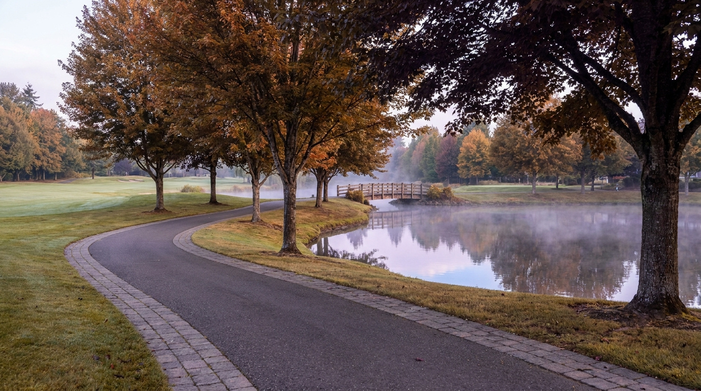
www.livingoutsideseattle.com
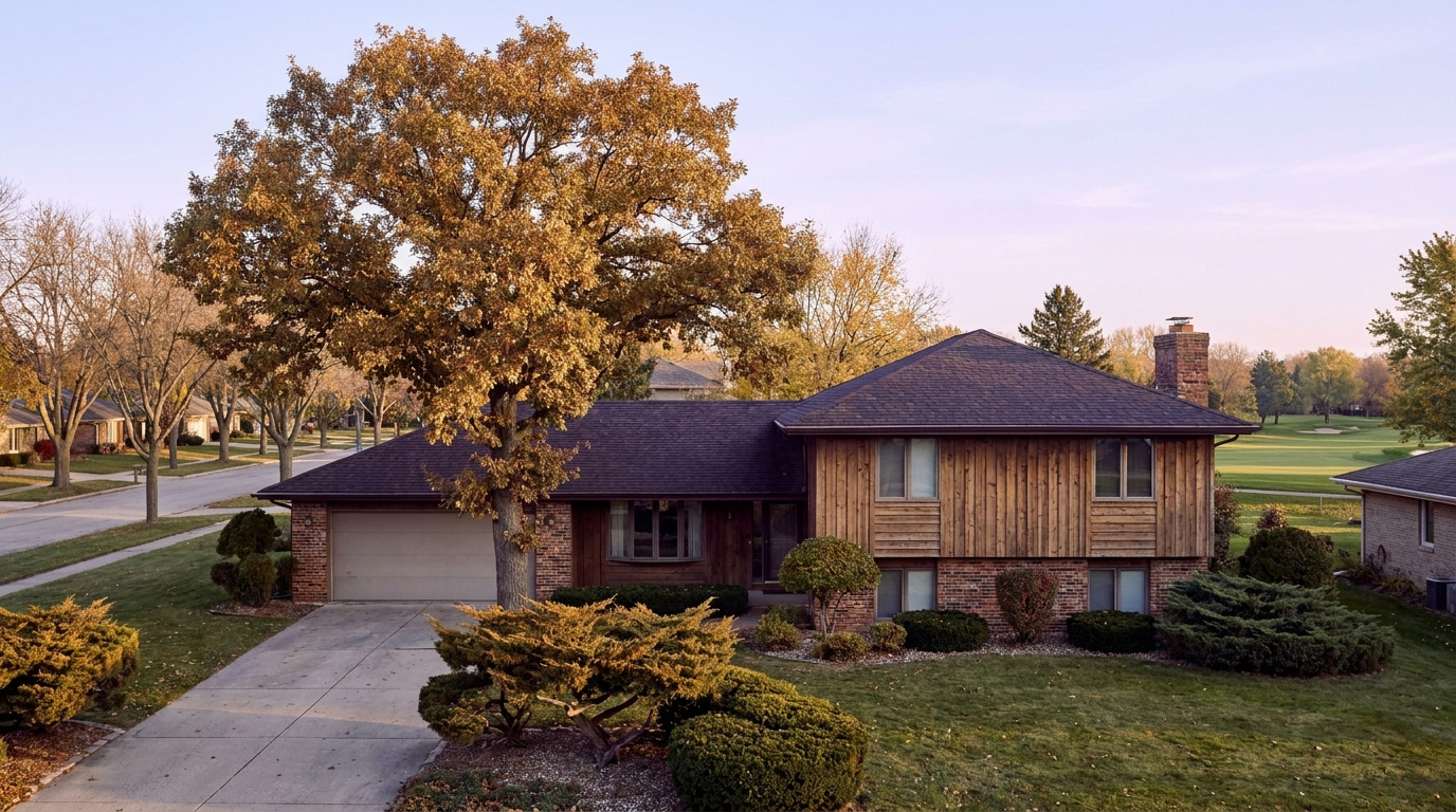

AuburnBuyer Resources July 20, 2026

Living in Auburn Valley, Auburn WA | 2026 Guide

If you want an older, established stretch of Auburn without the price tag of the newer master-planned communities, Auburn Valley is worth a look. Living in Auburn Valley means a straight shot down Auburn Way South, an 88-acre wilderness park a few minutes away, and some of the most consistently affordable single-family homes left in the city. This is a Family-First Established neighborhood, built out mostly from the 1960s through the 1990s along the valley floor south of downtown. In 2026, buyers who want a real yard and a shorter commute to the warehouse and logistics corridor keep landing here.

Three Local Anchors

The Safeway at 101 Auburn Way S covers full grocery runs for most Auburn Valley addresses without leaving the corridor. Game Farm Wilderness Park, an 88-acre park at 2401 Stuck River Drive with hiking trails, camping sites, and river access along the Stuck River, sits a short drive south. And King County Metro service along Auburn Way South, with a stop at Auburn Way S and M St SE, connects the neighborhood to Auburn Station and the Sounder S Line into Seattle and Tacoma.

What is it actually like to live in Auburn Valley in 2026?

On a Tuesday morning, Auburn Valley moves at the pace of a working-class valley town. Auburn Way South carries a steady mix of commuters, delivery trucks, and buses heading toward the warehouse and logistics employers that line the valley floor, while side streets off the main corridor stay quiet and residential. The homes here sit back from the arterial on straight, unassuming blocks, mostly ranch and split-level styles that have not changed much in decades.

Weekends bring a different rhythm. Families head to Game Farm Wilderness Park for the trails and river access, and the Auburn Farmers Market downtown draws a Saturday crowd from across the city, Auburn Valley included, from June through September. It is a practical, unpretentious kind of neighborhood life, closer to how Auburn felt a generation ago than the newer subdivisions on the city’s edges.

The people who choose Auburn Valley tend to prioritize space and price over polish. Compared to Lakeland Hills or The Bridges, homes here are older and lots are less uniform, but buyers get a bigger yard for the dollar and a shorter drive to the industrial and logistics jobs that anchor a large share of Auburn’s employment base. It draws long-time Auburn families, first-time buyers stretching for a detached home, and buyers who work the valley floor corridor themselves.

Wooded trail and river access at Game Farm Wilderness Park near the Auburn Valley neighborhood of Auburn, Washington
Game Farm Wilderness Park’s trails and Stuck River access sit a short drive from most Auburn Valley streets.

Homes in Auburn Valley: What the Data Shows

Most homes in Auburn Valley date from the 1960s through the 1990s, part of Auburn’s earlier wave of postwar and mid-century growth along the valley floor rather than a single planned build-out. Square footage typically runs 1,200 to 2,400 square feet, with single-story ranches and simple two-story homes making up most of the stock. Lots tend to run larger than the newer subdivisions, often a quarter acre or more in the pockets furthest from Auburn Way South, and detached single-family homes dominate. It is an older, unpolished corridor that has not seen much new construction in years, which is exactly why prices here stay lower than the rest of the city.

Market data as of June 2026, from NWMLS-sourced monthly exports (Auburn citywide residential figures; Auburn Valley-specific data is not separately tracked by NWMLS, so figures reflect city-level data).

Metric Auburn Valley (Auburn citywide) King County
Median Sales Price (June 2026) ~$650,000 ~$998,000
Median Days on Market (June 2026) ~8 days ~10 days
Active Listings Change (vs. Jan 2026) +135% +127%

Figures reflect Auburn citywide residential data from NWMLS InfoSparks, exported July 5, 2026. Auburn Valley does not have its own MLS reporting area, so these numbers are city-level, not neighborhood-specific. Homes in Auburn Valley tend to sit toward the lower to middle end of Auburn’s price range given the older housing stock, so buyers here often see figures below the citywide median.

Schools Serving Auburn Valley

Auburn Valley falls in the Auburn School District, and most addresses along this stretch of Auburn Way South feed a different pipeline than the neighborhoods further north and east. This corridor feeds a different pipeline than some general Auburn guides list for the east side of the city, so confirm your specific address before assuming which schools apply.

Most Auburn Valley students attend Chinook Elementary at 3502 Auburn Way S, which sits directly in the corridor. From there, the pipeline continues to Cascade Middle School at 1015 24th Street NE, an AVID National Demonstration School with a Gifted & Talented program, and finishes at Auburn Senior High School, which offers Advanced Placement coursework, 19 sports, and an 80 percent graduation rate.

Because Auburn Valley sits along a busy arterial corridor rather than inside a single platted subdivision, address-level boundary lines matter more here than in a master-planned community. Always verify your exact address with the district before writing an offer, especially near the edges of the corridor closer to downtown or the SR-18 interchange.

Verify the Schools Yourself

Chinook Elementary →
Cascade Middle School →
Auburn Senior High →

School ratings and assignments change. Always verify your specific address with the Auburn School District before writing an offer.

Getting to Work from Auburn Valley

Take Auburn Way South north to reach downtown Auburn and Auburn Station in a few minutes, or continue south to connect with SR-18 toward Covington and I-5 toward Tacoma. King County Metro service runs along the Auburn Way South corridor, connecting Auburn Valley to Auburn Station, where riders can catch the Sounder S Line into Seattle and Tacoma.

Destination Distance 2026 Drive Time (Peak AM) Transit Option
Downtown Seattle 31 miles 50 to 70 min King County Metro to Auburn Station, Sounder S Line
Bellevue / Amazon 27 miles 45 to 65 min SR-167 to I-405 north
Microsoft (Redmond) 31 miles 50 to 75 min SR-167 to I-405 to SR-520
SeaTac Airport 16 miles 25 to 35 min SR-167 north to Highway 518

Single-story ranch home with a large yard on a residential street in the Auburn Valley neighborhood of Auburn, Washington
A typical single-story ranch home in Auburn Valley, part of the neighborhood’s mid-century housing stock.

What I See as a Valuation Expert in Auburn Valley

When I price homes for institutional clients, lot size and system updates tend to drive value more than finish quality in Auburn Valley. Older mid-century homes vary widely in how well they have been maintained, so a roof replaced in the last decade, an updated electrical panel, or a newer water heater can separate two otherwise similar listings by tens of thousands of dollars.

Proximity to Auburn Way South itself is a real factor. Homes set back on quieter side streets away from the arterial typically command a premium over comparable homes fronting the corridor directly, where traffic noise and curb cuts matter to buyers.

Larger lots, especially those a quarter acre or more with room for parking multiple vehicles or a shop, tend to move first and draw the most competitive offers. Homes closer to Game Farm Wilderness Park also see stronger interest than similar homes further from any green space.

10-Year Lens

Auburn Valley’s older housing stock and lower price point give it a durable long-term case as one of the last true entry-level detached-home corridors in South King County, especially as newer construction elsewhere in Auburn continues to price higher. The honest counter-risk: homes here will need ongoing system updates as they age past 50 and 60 years old, and the corridor’s proximity to Auburn Way South’s truck and commuter traffic will always cap appreciation compared to quieter subdivisions further from the arterial. Continued inventory growth across King County in 2026 also means buyers have more leverage and more time to negotiate than in recent years.

Frequently Asked Questions

Q: Is Auburn Valley a good place to live?
A: Auburn Valley works well if you want an older, established home with a larger yard at a lower price than Auburn’s newer subdivisions, and you don’t mind living along a busy arterial corridor. It suits buyers who want more space for the dollar and a short drive to the valley floor’s logistics and warehouse employers.

Q: What are homes like in Auburn Valley?
A: Most homes date from the 1960s through the 1990s, running 1,200 to 2,400 square feet, mostly single-story ranch and simple two-story styles on lots that often run a quarter acre or more away from the main corridor.

Q: What schools serve Auburn Valley?
A: Most Auburn Valley addresses feed Chinook Elementary, Cascade Middle School, and Auburn Senior High School, all part of the Auburn School District. Always verify your specific address before writing an offer.

Q: How far is Auburn Valley from Seattle?
A: Auburn Valley sits about 31 miles from downtown Seattle, roughly 50 to 70 minutes by car during peak commute hours, or by King County Metro to Auburn Station and the Sounder S Line.

Explore Auburn Valley Yourself

View Auburn Valley on Google Maps →

Your guide to life outside Seattle.

Gregory Dorrell | Coldwell Banker Bain | WA License #111862
253-350-0045 · greg@livingoutsideseattle.com · www.livingoutsideseattle.com
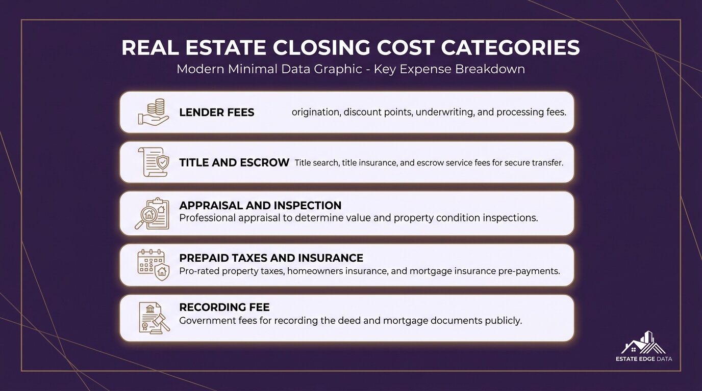

Buyer ResourcesReal Estate How To July 19, 2026

Earnest Money in King County: How Much You Need in 2026

The first time most buyers hear the words earnest money is about five minutes before they write their first offer. Then they find out it’s a five-figure check. The questions start fast after that. Here’s the honest breakdown of how earnest money works in King County, how much you actually need, and how to get it back if the deal falls apart.

What Earnest Money Actually Is

Earnest money is a deposit you send with your offer to show the seller you’re serious. The money sits in an escrow account with a neutral third party, and if the sale closes, it gets credited toward your down payment and closing costs. You were going to pay it anyway. The deposit just moves part of it up front.

The catch is what happens if the sale doesn’t close. Depending on how your offer is written, that money either comes back to you or goes to the seller. That’s the entire game. The amount gets you taken seriously. The contingencies decide who keeps it.

How Much Earnest Money You Need in King County

The convention here is 1 to 3 percent of the purchase price. King County’s median sale price is running around $870,000 right now, which puts a typical deposit anywhere from roughly $9,000 to $26,000. At South King County price points, think Kent, Auburn, or Federal Way, a 1 to 2 percent deposit on a $600,000 to $700,000 home lands in the $6,000 to $14,000 range.

Typical earnest money amounts King County WA by price range, 1 to 3 percent

At the county’s $870K median, 1 to 3 percent means roughly $9,000 to $26,000. South King County price points often land at $6,000 to $14,000.

Do you need to push toward the high end? Usually not right now. The county is sitting at more than 15 weeks of housing supply, and only about 12 percent of new listings even set an offer review date this month. In that market, a clean, well-priced offer with a standard deposit gets taken seriously. Two years ago buyers were oversizing deposits to win bidding wars. On most homes today, you don’t need to.

How Buyers Actually Lose Earnest Money

Those protections are contingencies written into your offer. The inspection contingency lets you walk away, deposit in hand, if the inspection turns up problems. The financing contingency protects you if your loan falls through. The title contingency protects you if the seller can’t deliver clean ownership. A low appraisal gets handled through the financing contingency in Washington, which is one more reason not to give that one up casually.

Waive those, and your deposit is exposed. Miss a contractual deadline, same thing. The offer terms matter more than the offer amount. I walk through how to structure this in my contingent offer guide for King County.

Before You Wire a Five-Figure Deposit

Wire fraud is real in real estate, and the deposit wire is the moment scammers target. Run through this list every time:

  1. Get wiring instructions directly from the escrow company, never from an email link
  2. Call escrow at a phone number you looked up yourself to verify the account details
  3. Confirm the deposit amount and due date in your purchase contract
  4. Know your contingency deadlines before the money moves
  5. Keep the wire receipt and confirmation from escrow

What This Means for Your First Offer

Budget 1 to 3 percent. Keep your contingencies unless there’s a specific, strategic reason not to. And treat any advice to waive protections in today’s market with real suspicion. With over 15 weeks of supply sitting on the market, you have more negotiating room than buyers have had in years. Use it.

Frequently Asked Questions

Is earnest money refundable in Washington state?

Usually, yes, as long as your offer keeps its contingencies and you meet your deadlines. If the deal dies through your inspection, financing, or title contingency, the deposit comes back to you. If you waive those protections or miss contractual deadlines and then walk away, the seller can keep it.

Is earnest money part of the down payment?

Effectively, yes. The deposit sits in escrow during the transaction, and at closing it gets credited toward your down payment and closing costs. It isn’t an extra cost on top of the purchase. It’s part of the money you were already bringing, paid earlier.

How much earnest money is normal in King County in 2026?

One to 3 percent of the purchase price. On the county’s median sale price of about $870,000, that’s roughly $9,000 to $26,000. At South King County price points, a 1 to 2 percent deposit often lands between $6,000 and $14,000. With today’s supply levels, most buyers don’t need to go above the standard range unless they’re competing on a multiple-offer home.

Your guide to life outside Seattle.

Gregory Dorrell | Coldwell Banker Bain | WA License #111862
253-350-0045  ·  greg@livingoutsideseattle.com  ·  www.livingoutsideseattle.com
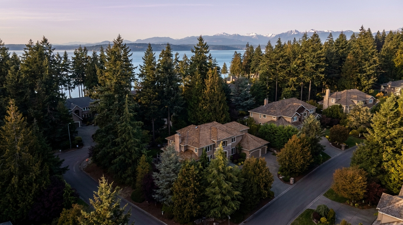
Gregory Dorrell is a licensed real estate broker (WA License #111862) with Coldwell Banker Bain. Market data from NWMLS, week of July 13, 2026. This post is general information, not legal or financial advice. Review your purchase contract with your broker or attorney.

AuburnBuyer Resources July 19, 2026

Living in Lakeland Hills, Auburn | 2026 Guide

Living in Lakeland Hills, Auburn: What You Need to Know in 2026

If you want a planned community feel without leaving Auburn, Lakeland Hills is worth a look. Living in Lakeland Hills means wide, consistent streets, HOA-maintained landscaping, and a central neighborhood park that anchors the whole community. This is a Quiet Cul-de-Sac Community, built out mostly between 1995 and 2015, sitting on Auburn’s south end right where the city meets the King-Pierce County line. In 2026, buyers who want newer construction, a settled family feel, and a break from Auburn’s older core neighborhoods keep landing here.

Three Local Anchors

Haggen Food & Pharmacy at 1406 Lake Tapps Pkwy E covers full grocery runs a short drive from most Lakeland Hills streets. Lakeland Hills Park, a five-acre park built into a wooded hillside with a basketball court, a small climbing wall, a paved walking loop, and a playground, sits inside the community itself. And Pierce Transit’s Route 497 Lakeland Hills Express connects the neighborhood directly to Auburn Transit Center, where riders can pick up Sounder rail service into Seattle and Tacoma.

What is it actually like to live in Lakeland Hills in 2026?

On a Tuesday morning, Lakeland Hills moves at a suburban pace. Commuters back out of driveways along the neighborhood’s curving collector streets, most heading for SR-167 or Lake Tapps Parkway to start the drive north or east. School buses work their way through the cul-de-sacs a little later, and the consistent landscaping along the main entries gives the whole community a tidy, just-mowed look even before most residents are out the door.

Weekends slow down. Families walk to Lakeland Hills Park for the playground and the loop trail, kids shoot around on the basketball court, and Sunset Park nearby adds baseball and softball fields for weekend leagues. It is a family-forward rhythm, closer to a small planned suburb than to Auburn’s older Main Street blocks a few miles north.

The people who choose Lakeland Hills tend to want a newer home, a manicured street, and a sense that the neighborhood was designed rather than grown block by block. Compared to Lea Hill or West Auburn, homes here sit on a more uniform grid with HOA-backed consistency, and buyers often cross-shop Lakeland Hills against nearby Bonney Lake and Sumner rather than against downtown Auburn.

Lakeland Hills Park walking loop, basketball court, and playground shaded by evergreen trees in Auburn, Washington
Lakeland Hills Park’s wooded walking loop and playground sit at the heart of the neighborhood.

Homes in Lakeland Hills: What the Data Shows

Most homes in Lakeland Hills date from the mid-1990s through 2015, part of a master-planned build-out rather than scattered infill. Square footage typically runs 1,600 to 3,500 square feet, with two-story traditional and Northwest contemporary styles dominating the community. Lots tend to be modest but consistent, usually 5,000 to 8,000 square feet, and detached single-family homes make up nearly all of the housing stock. HOA-maintained entries and common areas give the community a uniform look that stands apart from Auburn’s older, more mixed neighborhoods.

Market data as of June 2026, from NWMLS-sourced monthly exports (Auburn citywide residential figures; Lakeland Hills-specific data is not separately tracked by NWMLS, so figures reflect city-level data).

Metric Lakeland Hills (Auburn citywide) King County
Median Sales Price (June 2026) ~$650,000 ~$998,000
Median Days on Market (June 2026) ~8 days ~10 days
Active Listings Change (vs. Jan 2026) +135% +127%

Figures reflect Auburn citywide residential data from NWMLS InfoSparks, exported July 5, 2026. Lakeland Hills does not have its own MLS reporting area, so these numbers are city-level, not neighborhood-specific. Homes here tend to sit toward the upper end of Auburn’s price range given the newer construction and master-planned setting.

Schools Serving Lakeland Hills

Lakeland Hills is one of the few Auburn neighborhoods split across two school districts. Most of the community falls in the Auburn School District, but the neighborhood sits right on the King-Pierce County line, and pockets on the south and east sides fall in the Dieringer School District instead. Address matters more here than almost anywhere else in Auburn, so confirm your specific street with the district before you get attached to a listing.

On the Auburn School District side, most students attend Lakeland Hills Elementary at 1020 Evergreen Way SE, and the neighborhood’s geography points to Mt. Baker Middle School as the likely next stop, though families should confirm this directly with the district since Auburn School District maintains seven middle schools and boundary lines shift. From there, students finish at Auburn Mountainview High School, which opened in 2005, offers Advanced Placement coursework, 21 sports, and a Gifted & Talented program, and posts a 90 percent graduation rate.

On the Dieringer School District side, students attend Dieringer Heights Elementary, then North Tapps Middle School for grades six through eight. Dieringer is a non-high-school district, which means families choose where their student attends high school rather than being assigned one automatically. Most Dieringer-zone families in this area send their kids to Auburn Riverside High School or Sumner High School. Always verify your exact address and your high school options with the district before writing an offer.

Verify the Schools Yourself

Lakeland Hills Elementary →
Mt. Baker Middle School →
Auburn Mountainview High →
Dieringer Heights Elementary →
North Tapps Middle School →

School ratings and assignments change, and Lakeland Hills sits across two districts. Always verify your specific address with the Auburn School District or the Dieringer School District before writing an offer.

Getting to Work from Lakeland Hills

Take Lake Tapps Parkway or Lakeland Hills Way to SR-164 or SR-167, then connect north toward I-405 or south toward I-5, depending on your destination. Pierce Transit Route 497 runs from the neighborhood to Auburn Transit Center, where riders can catch the Sounder S Line into Seattle and Tacoma without driving the freeway themselves.

Destination Distance 2026 Drive Time (Peak AM) Transit Option
Downtown Seattle 31 miles 55 to 75 min Pierce Transit 497 to Auburn Station, Sounder S Line
Bellevue / Amazon 30 miles 50 to 70 min SR-167 to I-405 north
Microsoft (Redmond) 34 miles 55 to 80 min SR-167 to I-405 to SR-520
SeaTac Airport 17 miles 28 to 40 min SR-167 north to Highway 518
Two-story home with manicured landscaping on a cul-de-sac street in the Lakeland Hills neighborhood of Auburn, Washington
A typical two-story home in Lakeland Hills, built during the community’s main development period between 1995 and 2015.

What I See as a Valuation Expert in Lakeland Hills

When I assess homes here for institutional clients, lot usability and how well a house has kept pace with its systems tend to drive value more than raw square footage in Lakeland Hills. The community’s consistent HOA-maintained frontage means curb appeal rarely separates one listing from the next. What separates them instead is what is behind the walls: roof age, water heater age, and whether a kitchen or bath has been touched since the original build, especially on the earliest phase of homes from the mid-1990s.

HOA dues and coverage vary by section of the community, so confirm what a specific listing’s dues actually cover before you get too far into the process. Some sections include front-yard landscaping maintenance in the dues, which changes the real monthly cost of ownership compared to a similar home without that coverage.

Homes closer to Lakeland Hills Park, on the larger cul-de-sac lots, or with a partial view toward the valley typically command a premium and tend to move first when they come to market. Newer-phase homes built after 2005 with updated systems also draw stronger interest than the earliest phase of the community.

10-Year Lens

Lakeland Hills’ master-planned consistency, newer housing stock, and position near both Auburn and the growing Bonney Lake and Sumner areas give it a durable long-term case as a family-oriented entry point into South King and North Pierce County ownership. The honest counter-risk: the school district split adds real complexity for resale, since buyers have to verify which district and which high school options apply to a specific address, and the neighborhood remains fully car-dependent with no direct Sounder access from inside the community. Continued inventory growth across King County in 2026 also means less urgency and more negotiating room for buyers than in recent years.

Frequently Asked Questions

Q: Is Lakeland Hills a good place to live?
A: Lakeland Hills works well if you want a newer, master-planned community with consistent landscaping and a central neighborhood park, and you don’t mind a car-dependent setting without direct Sounder access. It suits families who want a settled, tidy street over Auburn’s older, more mixed neighborhoods.

Q: What are homes like in Lakeland Hills?
A: Most homes date from 1995 to 2015, running 1,600 to 3,500 square feet on 5,000 to 8,000 square foot lots, mostly two-story traditional and Northwest contemporary styles with HOA-maintained common areas.

Q: What schools serve Lakeland Hills?
A: Lakeland Hills splits across the Auburn School District (Lakeland Hills Elementary and Auburn Mountainview High School) and the Dieringer School District (Dieringer Heights Elementary and North Tapps Middle School, with a family choice of high school). Always verify your specific address before writing an offer.

Q: How far is Lakeland Hills from Seattle?
A: Lakeland Hills sits about 31 miles from downtown Seattle, roughly 55 to 75 minutes by car during peak commute hours, or by Pierce Transit Route 497 to Auburn Station and the Sounder S Line.

Explore Lakeland Hills Yourself

View Lakeland Hills on Google Maps →

Your guide to life outside Seattle.

Gregory Dorrell | Coldwell Banker Bain | WA License #111862
253-350-0045 · greg@livingoutsideseattle.com · www.livingoutsideseattle.com
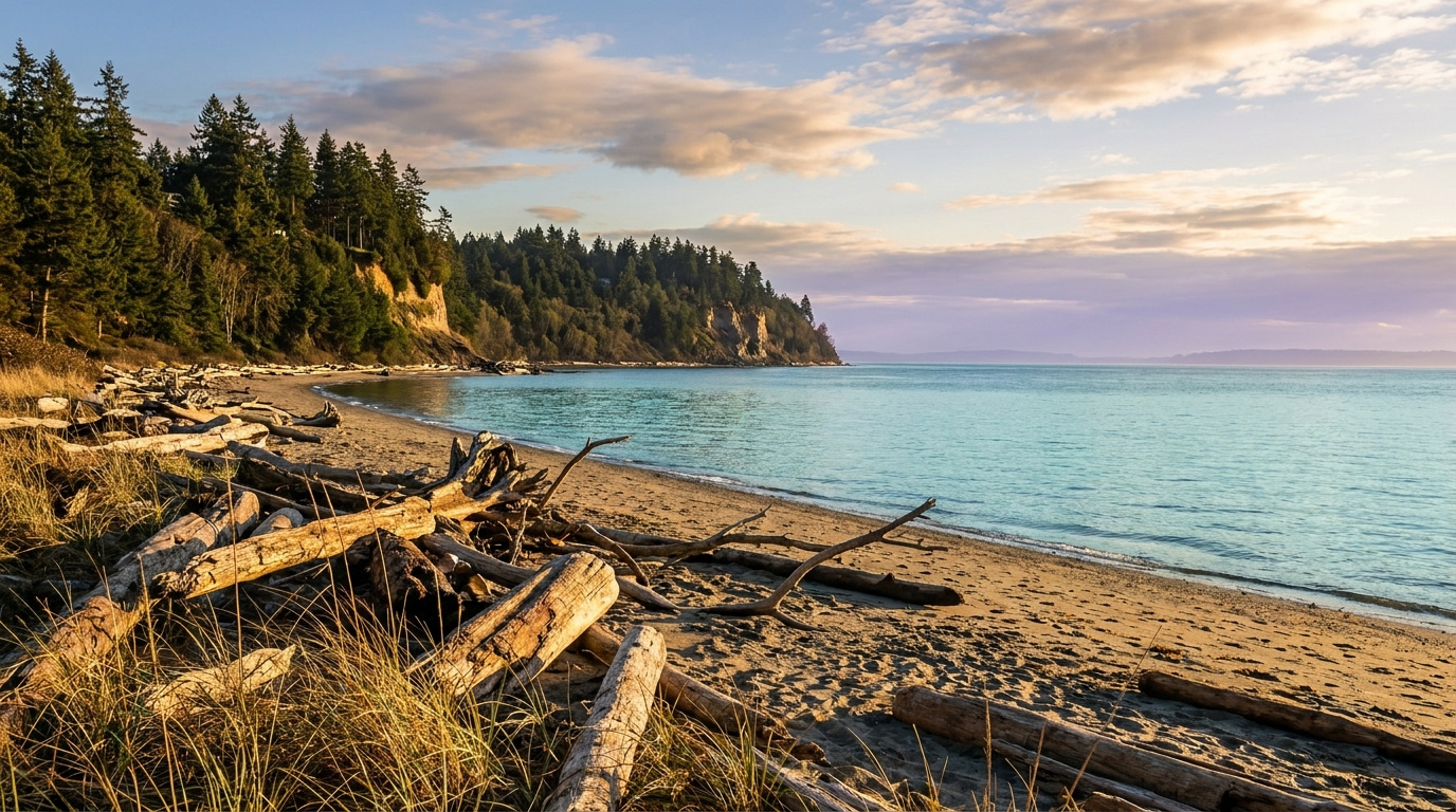
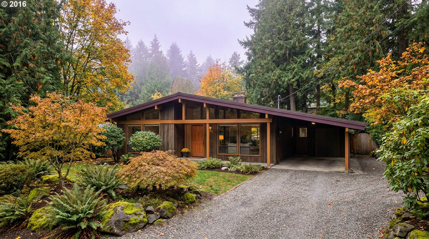
AuburnKing County Neighborhoods July 19, 2026

Living in West Auburn, Auburn WA | 2026 Guide

If you want to live in Auburn without a long drive to get anywhere, West Auburn and the Downtown Corridor are worth a look. Living in West Auburn means older streets built on a walkable grid, a Sounder train station a few blocks from your front door, and some of the most affordable home prices in the entire city. This is a Walkable Urban Edge neighborhood, built out mostly in the early to mid 1900s with a wave of infill since. In 2026, buyers priced out of the Eastside are discovering that downtown Auburn gives them a real Main Street, a commute option that skips I-5 traffic, and a price tag that still works.

Three Local Anchors

The Safeway at 101 Auburn Way S covers weekly groceries without a car trip out of the neighborhood. Game Farm Park, an 88-acre community park with a one-mile paved loop trail along the Stuck River, sits a short drive or bike ride to the east. And Auburn Station, the Sounder S Line stop with direct rail service to Seattle, anchors the whole corridor a few blocks from Main Street.

What is it actually like to live in West Auburn in 2026?

On a Tuesday morning, Main Street wakes up slower than the freeway corridors further south. Commuters heading for the train walk past the older brick storefronts near E Main Street, coffee in hand, timing their walk to the platform instead of a parking garage. The blocks around Auburn Way and Main are a mix of small offices, a few longtime local businesses, and homes that sit close enough to downtown that you can hear the trains before you see them.

Weekends look different. Saturdays bring people out to Game Farm Park for softball games and the walking loop, and from June through September, the Auburn Farmers Market takes over Les Gove Park with more than 40 vendors selling produce and local goods. It is a smaller-town rhythm than you would expect this close to a rail line into Seattle.

The people who choose West Auburn tend to want less house and more location. Compared to Lea Hill or Lakeland Hills, homes here are smaller and older, but you are trading square footage for a walk to the train, a walk to City Hall, and some of the lowest entry prices in Auburn. It draws first-time buyers, downsizers, and commuters who have decided that transit access is worth more than a three-car garage.

Auburn Station Sounder rail platform and pedestrian bridge in downtown West Auburn, Washington
Auburn Station connects the Downtown Corridor to Seattle by Sounder rail in about 35 minutes.

Homes in West Auburn: What the Data Shows

The housing stock in West Auburn skews older than most of the city, with a lot of homes built between 1920 and 1960 on the original townsite grid, plus pockets of newer infill and small multi-family buildings closer to the station. Most single-family homes here run 1,000 to 1,800 square feet on compact lots, often a quarter acre or smaller. You will see bungalows, Craftsman-influenced cottages, and simple postwar ranches more than the large subdivisions found in East Auburn. Detached homes dominate, though the blocks nearest downtown include some duplexes and small apartment buildings. It is not a builder-community look. It is an older Main Street town that has been slowly filling back in.

Market data as of June 2026, from NWMLS-sourced monthly exports (Auburn citywide residential figures; West Auburn/Downtown-specific data is not separately tracked by NWMLS, so figures reflect city-level data).

Metric Auburn (Citywide) King County
Median Sales Price (June 2026) ~$650,000 ~$998,000
Median Days on Market (June 2026) ~8 days ~10 days
Active Listings Change (vs. Jan 2026) +135% +127%

These figures reflect Auburn citywide residential data from NWMLS, not West Auburn-specific numbers, since the neighborhood is too small for its own MLS reporting segment. Within Auburn, West Auburn and Downtown (zip 98002) run toward the lower end of the citywide price range, often $460,000 to $530,000 for move-in-ready homes.

Schools Serving West Auburn

West Auburn falls inside Auburn School District, and the elementary feeder for most of the downtown grid is Dick Scobee Elementary. Address boundaries shift block by block this close to downtown, so always verify your specific address with the district before you write an offer. From Dick Scobee, students typically move on to Cascade Middle School, about half a mile away, then to Auburn Senior High School.

Cascade Middle School was recognized as an AVID National Demonstration School, a distinction tied to its work preparing students for college readiness. Auburn Senior High School runs a full slate of Advanced Placement courses along with a Gifted and Talented program and 19 sports programs, giving families a wide range of activities to choose from.

The day-to-day pipeline here is short by suburban standards. Most elementary kids in the downtown grid walk or get bused a few blocks to Dick Scobee. Middle schoolers head north to Cascade, still inside easy busing range. High schoolers travel slightly further to Auburn Senior High, off E Main Street, which is walkable from some of the closer-in downtown blocks and a short bus ride from the rest.

Verify the Schools Yourself

Dick Scobee Elementary →
Cascade Middle School →
Auburn Senior High School →

School ratings and assignments change. Always verify your specific address with the Auburn School District before writing an offer.

Getting to Work from West Auburn

The single biggest draw for West Auburn is Auburn Station. Take the Sounder S Line north and you are in downtown Seattle in about 35 minutes, no I-5 traffic involved. If you are driving, Auburn Way and SR-18 connect you to I-5 and Highway 167 within a few minutes, though peak-hour traffic on those corridors adds real time.

Destination Distance 2026 Drive Time (Peak AM) Transit Option
Downtown Seattle 27 miles 50 to 70 min Sounder S Line, ~35 min
Bellevue / Amazon 21 miles 40 to 55 min I-167 to I-405
Microsoft (Redmond) 28 miles 45 to 65 min I-167 to I-405 to SR-520
SeaTac Airport 13 miles 25 to 35 min SR-18 to I-5
Early 1900s bungalow-style home exterior in the West Auburn Downtown Corridor, Auburn, Washington
A classic bungalow-style home on the older grid streets near downtown Auburn.

What I See as a Valuation Expert in West Auburn

When I price homes for institutional clients and clients, the age of the systems drives a lot of the value swing. A 1920s bungalow with an updated electrical panel, newer roof, and modern plumbing appraises very differently than the same house with original knob-and-tube wiring still in the walls. Buyers in this price range are often working with tighter budgets, so a home that needs $40,000 in deferred maintenance can sit longer than one that is already move-in ready, even at a similar list price.

Curb appeal matters more here than in newer subdivisions, simply because the housing stock varies so much block to block. A well-maintained yard and fresh paint on an older home signal to buyers that the inside has probably been cared for too. There is no HOA governing most of West Auburn, so that consistency comes down to individual owners rather than a covenant, and it shows in how differently two adjacent blocks can present.

Proximity to the Sounder station tends to carry a real premium here, and walkability to Main Street is the other factor that moves fastest. Homes within a few blocks of the station or the downtown core generally draw more interest than similar homes a mile out, simply because the commute math changes so much.

Valuation Insight

Walking distance to Auburn Station typically commands a premium over otherwise comparable homes further from downtown, since it directly changes the buyer’s commute options.

The 10-Year Lens: As Sound Transit continues to invest in the Auburn Station area, including a planned second parking garage by 2027, West Auburn’s transit-oriented position should keep drawing buyers who want rail access without Eastside prices. The honest counter-risk is the age of the housing stock. Older homes in this price range need ongoing capital investment, and a buyer who skips inspections to compete on price can inherit expensive surprises.

Frequently Asked Questions

Q: Is West Auburn a good place to live?
A: It works well if you want a walkable downtown, rail access to Seattle, and some of the most affordable home prices in the city. It is a better fit for buyers who value location over square footage.

Q: What are homes like in West Auburn?
A: Mostly older, smaller homes from the early to mid 1900s on compact lots, ranging roughly 1,000 to 1,800 square feet, with prices often starting in the $460,000 to $530,000 range.

Q: What schools serve West Auburn?
A: Most of the downtown grid feeds into Dick Scobee Elementary, then Cascade Middle School, then Auburn Senior High School, all part of Auburn School District. Always verify your specific address, since boundaries shift block by block this close to downtown.

Q: How far is West Auburn from Seattle?
A: About 27 miles by road, but the Sounder S Line covers it in roughly 35 minutes directly from Auburn Station, which is the main reason many buyers choose this neighborhood.

Explore West Auburn Yourself

View West Auburn on Google Maps →

Your guide to life outside Seattle.

Gregory Dorrell | Coldwell Banker Bain | WA License #111862
253-350-0045 · greg@livingoutsideseattle.com · www.livingoutsideseattle.com
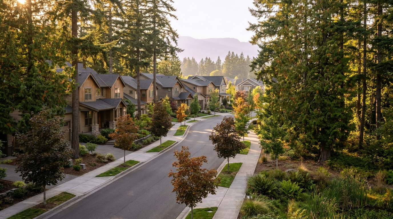
Buyer Resources July 18, 2026

Living in Lea Hill, Auburn | 2026 Neighborhood Guide

If you are shopping for a home in Auburn and want more elbow room without leaving the city, Lea Hill is worth a hard look. Living in Lea Hill Auburn means a quiet plateau setting east of the Green River valley, newer construction than most of the city, and a view line toward the mountains on a clear day. It is a Family-First Established neighborhood, built out mostly from the 1990s through the 2010s, with the kind of wide streets and settled landscaping that comes with 20 to 30 years of growth. In 2026, buyers are drawn here for the combination of space, relative affordability compared to the Eastside, and a genuine sense of neighborhood.

Three Local Anchors

The closest full grocery options sit down the hill in Auburn’s core, with Fred Meyer and Safeway both a short drive away. Lea Hill Park, a 7-acre neighborhood park with an amphitheater lawn, sport court, and play area, sits right on the plateau at 124th Ave SE and 316th St SE. Green River College, Auburn’s community college campus, anchors the west edge of the neighborhood and doubles as a public gathering point with trails and open green space.

What is it actually like to live in Lea Hill in 2026?

On a typical weekday morning, Lea Hill runs on a predictable rhythm. Commuters head down the hill toward Auburn Way or over to the Green River College area, where King County Metro Route 181 connects the neighborhood to Auburn Station and the Sounder line into Seattle and Tacoma. School traffic follows soon after, with buses and parent drop-off lines forming around the elementary school. The plateau setting means quieter streets than the valley floor below, and the elevation gives some homes a genuine view of the surrounding hills and, on a clear day, distant peaks.

Weekends lean toward yard work, youth sports at Lea Hill Park, and errands down the hill for groceries and bigger shopping trips. Green River College hosts community events and continuing education classes that pull in residents beyond the traditional student population. The pace is unhurried. This is not a walkable urban neighborhood, and residents generally accept that a car is part of daily life here.

Lea Hill tends to attract households who want more square footage and a bigger lot than they would get in Kent or Renton for a similar price, plus buyers connected to Green River College as staff, faculty, or continuing students. Compared to Auburn’s older west-side neighborhoods, Lea Hill’s housing stock is newer and its streets are wider and more suburban in layout.

Lea Hill Park amphitheater, sport court, and play area shaded by evergreen trees in the Lea Hill neighborhood of Auburn, Washington
Lea Hill Park’s amphitheater lawn and sport court sit at the center of the neighborhood.

Homes in Lea Hill: What the Data Shows

Most homes on Lea Hill date from the 1990s through the mid-2010s, a mix of two-story traditional and Northwest contemporary styles. Square footage typically runs 1,800 to 3,200 square feet, with lots between 5,000 and 10,000 square feet, larger than what you will find in Auburn’s older core neighborhoods. Detached single-family homes dominate the plateau, with a handful of newer townhome pockets closer to 124th Ave SE. Buyers looking for move-in-ready homes with attached two-car garages and updated systems will find plenty of inventory in this era of construction.

Market data as of July 2026, most recent closed month June 2026.

Metric Lea Hill (Auburn citywide) King County
Median Sales Price (June 2026) ~$650,000 ~$998,000
Median Days on Market (May 2026) ~11 days ~7 days
Homes for Sale (June 2026, vs. Jan 2026) 240 (vs. 102 January 2026, +135.3%) Countywide inventory has also risen sharply through 2026

Figures reflect Auburn citywide residential data from NWMLS InfoSparks, exported July 5, 2026 (median sales price and homes for sale) and June 25, 2026 (days on market). Lea Hill does not have its own MLS reporting area, so these numbers are city-level, not neighborhood-specific. Days on market trails the other two metrics by one data cycle because that export had not yet refreshed for June at the time of this post.

Schools Serving Lea Hill

Most Lea Hill addresses fall in the Auburn School District, and the neighborhood elementary is Lea Hill Elementary School, located right on 124th Ave SE. From there, students move on to Cascade Middle School, an AVID National Demonstration School with a Gifted & Talented program, before finishing at Auburn Mountainview High School. Always verify your exact address with the district before writing an offer. School assignment boundaries shift, and a home two streets over can fall in a different attendance zone.

Auburn Mountainview offers Advanced Placement coursework, 21 sports, and a Gifted & Talented program, with a 90 percent graduation rate. Cascade Middle School’s AVID recognition reflects a specific focus on college and career readiness for students who might not otherwise have that support built into their schedule. Lea Hill Elementary serves grades pre-K through 5 with a roughly 12-to-1 student-teacher ratio.

The path from Lea Hill Elementary through Cascade Middle School to Auburn Mountainview High School means most families on the plateau stay within a consistent, walkable-to-drivable pipeline for all thirteen years, without the bus rides across town that some Auburn neighborhoods require.

Verify the Schools Yourself

Lea Hill Elementary →
Cascade Middle School →
Auburn Mountainview High →

School ratings and assignments change. Always verify your specific address with the Auburn School District before writing an offer.

Getting to Work from Lea Hill

Take Lea Hill Road down to Auburn Way North, then connect to SR-18 or Highway 167 depending on your destination. King County Metro Route 181 runs along Lea Hill Road with stops near Green River College, connecting to Auburn Station for Sounder service into Seattle and Tacoma.

Destination Distance 2026 Drive Time (Peak AM) Transit Option
Downtown Seattle 28 miles 50 to 70 min Metro 181 to Auburn Station, Sounder S Line
Bellevue / Amazon 27 miles 45 to 65 min SR-18 to I-405 north
Microsoft (Redmond) 32 miles 50 to 75 min SR-18 to I-405 to SR-520
SeaTac Airport 14 miles 25 to 35 min SR-18 to Highway 167 north
Two-story home with mature landscaping on an established street in the Lea Hill neighborhood of Auburn, Washington
A typical two-story home on Lea Hill, built during the neighborhood’s main growth period in the 1990s and 2000s.

What I See as a Valuation Expert in Lea Hill

When I price homes for institutional clients, lot size and usable yard space tend to drive value more than square footage alone on Lea Hill. Two homes with the same floor plan can appraise differently if one sits on a flat, fully usable 8,000 square foot lot and the other backs up to a slope or drainage easement that eats into the buildable and livable space.

Curb appeal and maintenance history matter more here than in newer subdivisions, simply because the housing stock is old enough now that deferred maintenance starts to show. A roof at 20-plus years, original windows, or an aging furnace will show up in a comparative analysis even if the home looks fine from the street. HOA presence varies by pocket of the neighborhood, so confirm whether a specific listing carries HOA dues and what they cover before you get too far into the process.

Streets with view potential toward the mountains, and homes closer to Lea Hill Park and Green River College, typically command a premium and tend to move first when they come to market. Larger, flatter lots with room for a shop or RV parking also draw strong interest in this part of Auburn.

10-Year Lens

Lea Hill’s combination of newer housing stock, a stable school pipeline, and proximity to Green River College gives it a solid long-term case as an entry point into King County ownership at a lower price than the Eastside. The honest counter-risk: this is still a car-dependent neighborhood with no light rail access on the horizon, and continued inventory growth across King County in 2026 means buyers have more leverage and less urgency than they did a few years ago. Appreciation here will likely track the broader South King County market rather than outpace it.

Frequently Asked Questions

Q: Is Lea Hill a good place to live?
A: Lea Hill works well if you want more space and newer construction than Auburn’s older neighborhoods, and you don’t mind a car-dependent, plateau setting. It suits buyers who want a quieter, more suburban feel within city limits.

Q: What are homes like in Lea Hill?
A: Most homes date from the 1990s through the mid-2010s, running 1,800 to 3,200 square feet on lots between 5,000 and 10,000 square feet, mostly two-story traditional and Northwest contemporary styles.

Q: What schools serve Lea Hill?
A: Most Lea Hill addresses attend Lea Hill Elementary, Cascade Middle School, and Auburn Mountainview High School, all part of the Auburn School District. Always verify your specific address before writing an offer.

Q: How far is Lea Hill from Seattle?
A: Lea Hill sits about 28 miles from downtown Seattle, roughly 50 to 70 minutes by car or transit during peak commute hours, using Metro Route 181 to Auburn Station and the Sounder S Line.

Explore Lea Hill Yourself

View Lea Hill on Google Maps →

Your guide to life outside Seattle.

Gregory Dorrell | Coldwell Banker Bain | WA License #111862
253-350-0045 · greg@livingoutsideseattle.com · www.livingoutsideseattle.com
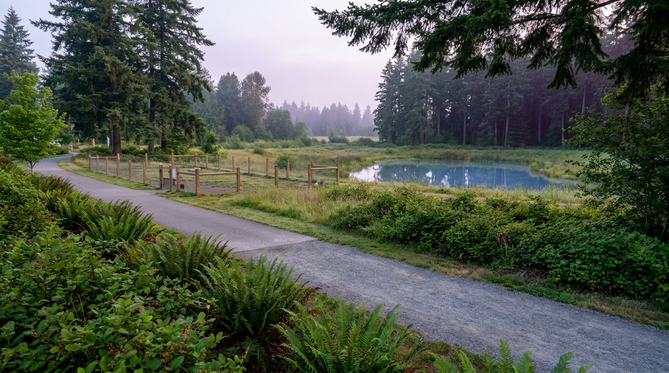
Buyer Resources July 18, 2026

First-Time Home Buyer Guide for Kent WA 2026

Kent is one of the more realistic entry points into King County homeownership right now. If you’re a first-time buyer looking here, this is what actually matters before you start touring homes.

What Kent Costs Right Now

Kent’s median residential price is running around $687,000, below King County’s overall median of $889,000, and the entry-level range specifically has softened over the past year as rate-sensitive buyers pull back.

That softening isn’t bad news if you’re buying. Less competition on the homes in your actual budget range, and more room to negotiate than you’d find in Renton or Bellevue right now.

Kent’s Days on Market Tells You Something Important

Kent’s median days on market is running around 12 days, the slowest of the seven cities I track in King County. For a first-time buyer, that’s useful information. More time to think. More time to get a proper inspection. Less pressure to waive contingencies just to compete.

Don’t mistake a slower market for a weak one. Kent still moves. It just doesn’t move at the frantic pace some other cities do right now.

Neighborhoods to Know

Kent covers a wide area with distinct pockets. Some neighborhoods sit closer to the valley floor with older housing stock and lower price points. Others, particularly toward the east hill, offer newer construction and larger lots at a higher price. Full breakdown in my Kent WA Neighborhoods for Families guide.

Schools a priority? Research specific elementary and middle school assignments before committing to a neighborhood. Kent School District covers a large area, and assignment boundaries don’t always match what you’d assume from the zip code alone.

What First-Time Buyers Should Know About Financing

Most first-time buyers in Kent use FHA or conventional loans with a down payment in the 3% to 5% range. Washington State and King County both offer down payment assistance programs worth checking out before you assume you need 20% down.

Get pre-approved, not just pre-qualified, before you start touring. A pre-approval carries real weight with sellers in this price range, where multiple qualified buyers are often still competing for the best-priced homes even in a softer market.

Should You Buy in Kent Now or Wait?

Waiting for rates to drop is a common instinct. It rarely pays off the way buyers expect. When rates ease, more buyers suddenly qualify, and that added competition tends to push prices back up. Offsetting whatever you saved on the rate.

Kent’s current mix of softer prices and longer days on market is about as buyer-friendly as this city gets. Find a home that fits your budget and needs? The math usually favors moving now over waiting for a hypothetical better moment that brings more competition with it.

Key Takeaways

  • Kent remains one of the more affordable entry points in King County for first-time buyers
  • The 12-day median days on market gives buyers more time and negotiating leverage than faster-moving cities
  • Neighborhood and school boundaries vary significantly across Kent, so research the specific area, not just the zip code
  • Down payment assistance programs are worth investigating before assuming you need 20% down
  • Waiting for rates to drop often brings more buyer competition that offsets the rate savings

Frequently Asked Questions

Is Kent WA a good place for first-time home buyers in 2026?

Yes. Kent has some of the more accessible home prices left in King County, combined with a slower 12-day median days on market that gives first-time buyers more room to negotiate and less pressure to waive contingencies.

What down payment do I need to buy a home in Kent WA?

Most first-time buyers use FHA loans (as low as 3.5% down) or conventional loans with 3% to 5% down. Washington State and King County both offer down payment assistance programs that can reduce this further. Getting pre-approved early clarifies your actual required down payment based on your specific loan program.

What Kent neighborhoods are best for families?

It depends on your school priorities and budget. Areas closer to the valley floor tend to have older housing at lower price points, while east hill neighborhoods offer newer construction and larger lots at a higher cost. Checking specific school assignment boundaries before committing to a neighborhood is essential, since they don’t always align with zip code assumptions.

Ready to Start Looking in Kent?

I walk through Kent neighborhoods regularly doing professional property valuations, so I know which areas fit which budgets and priorities. First-time buyer trying to figure out where to start? Happy to walk you through it.

Buyer ResourcesEastside July 18, 2026

Move-Up Buyer’s Guide to Bellevue: Can You Afford the Jump?

If you’ve built equity in a starter home and you’re eyeing Bellevue for your next move, the question isn’t whether you want it. It’s whether the math actually works. Here’s how to figure that out before you fall for a listing.

Start With Your Equity, Not the Listing Price

Before you even look at Bellevue inventory, get a real number on what your current home is worth today. Not what you paid. Not what an online estimate says. Here’s how I price homes: the BPO methodology.

Your usable equity, sale price minus your remaining mortgage and selling costs, is the foundation of your move-up budget. Most sellers underestimate selling costs. Between commission, excise tax, and typical repairs or concessions, budget 8 to 9% of your sale price coming off the top in King County.

What Bellevue Actually Costs Right Now

Bellevue sits well above the King County median, with a median home price around $1,450,000 as of June 2026, and that gap has been correcting somewhat as the broader Eastside market softens.

That’s actually good news for move-up buyers. A softer Bellevue market means less competition and more room to negotiate than you’d have found two or three years ago. Doesn’t mean Bellevue is cheap. Means the gap between where you are now and where you want to be has narrowed a little.

The Move-Up Buyer’s Biggest Mistake

The mistake I see most often: buyers assuming their current rate carries over. It doesn’t. Sitting on a 3% mortgage and moving up means taking on a new loan at today’s rates. Run the real numbers on your new monthly payment before you fall for a Bellevue listing.

Sometimes the math still works, because your equity gain outweighs the rate difference. Sometimes it doesn’t, and staying put a while longer makes more sense. Either way, know the number before you start touring homes. Not after you’ve made an offer.

Bridge Financing and Timing Your Sale

One of the hardest parts of moving up is timing the sale of your current home against the purchase of your new one. You’ve generally got three options. Sell first and rent temporarily. Buy first with a bridge loan or contingency. Or try to time both closings at once.

With more Bellevue inventory available than a couple years ago, buying first with a home sale contingency is more realistic than it used to be. Sellers are more willing to accept contingent offers when they’re not fielding multiple competing bids. Talk through your specific equity position and risk tolerance before choosing a path.

Condos vs. Single-Family: Where Move-Up Buyers Land

Not every move-up buyer needs or wants a single-family home. Bellevue’s condo market offers a real alternative for buyers who want the location and school district without the full single-family price tag or the yard work. Full breakdown in my Bellevue Condo Buyer’s Guide 2026.

Moving up mainly for schools or commute, not necessarily for more square footage? Seriously compare condo options against single-family listings before you commit to one path.

Frequently Asked Questions

How much equity do I need to move up to Bellevue?

It depends entirely on your current home’s value and Bellevue’s current price point, but the more useful number is your monthly payment at today’s rates on the new purchase. Some buyers with modest equity can still make the jump work if their income supports the new payment. Others with substantial equity find the payment jump too steep. Run the real numbers before assuming equity alone answers the question.

Should I sell my home before buying in Bellevue, or buy first?

It depends on your risk tolerance and the current inventory level. In a market with more available Bellevue inventory, buying first with a home sale contingency is more realistic than it’s been in recent years, since sellers are more willing to accept contingent offers. Selling first removes financing risk but may mean temporary housing.

Is now a good time to move up to Bellevue?

The current softening in Bellevue’s market is creating more negotiating room for move-up buyers than existed a couple years ago. Whether it’s the “right” time depends on your specific equity position and whether the new monthly payment fits your budget at today’s rates, not on trying to time the broader market perfectly.

Thinking About Moving Up to Bellevue?

Before you start touring homes, I’ll help you get a real number on your current equity and run the actual math on what a Bellevue purchase looks like at today’s rates. No guesswork. Just the real picture.

Your guide to life outside Seattle.

Gregory Dorrell | Coldwell Banker Bain | WA License #111862
253-350-0045
 · 
greg@livingoutsideseattle.com
 · 
www.livingoutsideseattle.com
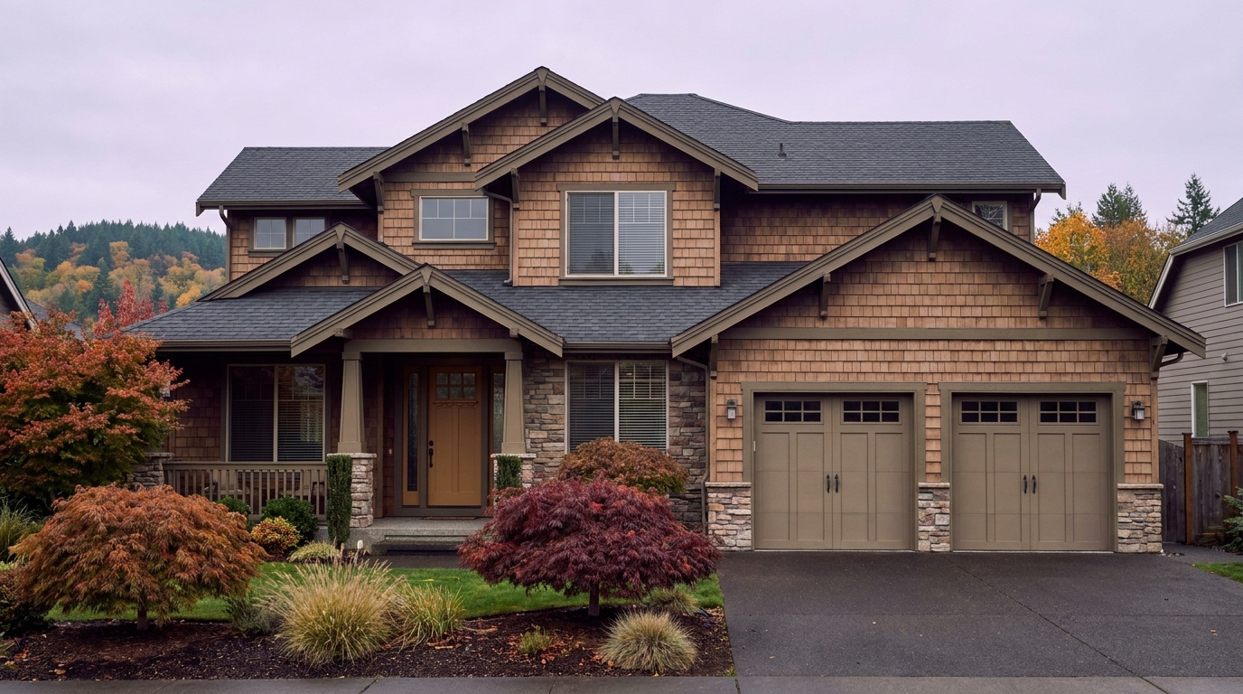
Buyer Resources July 16, 2026

Living in Scenic Hill, Kent | 2026 Neighborhood Guide

Scenic Hill sits just east of downtown Kent, close enough to walk to the Sounder station on a good day but quiet enough that most streets never see through traffic. This is a Family-First Established neighborhood, built out over several decades with a mix of ramblers, split-levels, and newer infill on the streets closest to the park. Buyers who want downtown Kent’s walkability without paying downtown prices keep landing here in 2026. It is one of the few pockets in the city where you can walk to a train platform and still park in your own driveway.

What is it actually like to live in Scenic Hill in 2026?

On a typical weekday morning, Scenic Hill runs quiet. Most of the neighborhood’s traffic drains downhill toward Central Avenue and the Sounder platform, so by the time the commute really builds on SR-167, the streets up here have already emptied out. Kids gather at bus stops along the flatter blocks near Woodland Way, and dog walkers use the neighborhood’s rolling sidewalks before the day gets going. It is not a neighborhood with a lot of drive-through traffic. Most of what happens here is local.

Weekends center on Scenic Hill Park. The tennis and pickleball courts fill up by mid-morning, and the picnic shelters get reserved early in the summer months. Families with younger kids gravitate to the playground, and the park’s evergreen tree cover keeps it comfortable even on a hot July afternoon. Some residents walk down into downtown Kent on the weekend for the farmers market or a coffee shop, using the neighborhood’s proximity to the core as a real amenity rather than just a selling point on a listing.

The people who choose Scenic Hill tend to want two things that do not usually come together this cheaply: walkable access to downtown and a real yard. A lot of buyers here are trading a condo or apartment closer to Seattle for more space, without giving up train access entirely. Longtime Kent families also show up, often moving a few blocks over from a starter home into something bigger on one of the newer infill lots near the park.

Scenic Hill Park picnic area and tennis courts shaded by evergreen trees in the Scenic Hill neighborhood of Kent, Washington
Scenic Hill Park anchors the neighborhood with tennis and pickleball courts, a playground, and shaded picnic areas.

Homes in Scenic Hill: What the Data Shows

Most homes on Scenic Hill date back several decades, with ramblers, split-levels, and tri-levels making up the older housing stock north of Maple Street and larger homes with private patios and mountain views on the streets south of Scenic Hill Park. Expect 1,200 to 2,600 square feet on lots that run smaller than the newer subdivisions farther out in Kent, since this neighborhood built out closer to downtown decades before the city’s newest growth. A handful of newer infill homes and townhome-style properties have filled in smaller lots in recent years, adding some variety to the older stock. Detached single-family homes make up most of the neighborhood, with a small mix of condos and townhomes near the edges.

Market Pulse Scenic Hill (Kent) King County
Median Sales Price (June 2026) ~$697,000 citywide ~$998,000
Median Days on Market ~12 days ~10 days
Active Listings Change (vs. Jan 2026) +95% +127%

Figures reflect Kent citywide residential data for June 2026, the most recent closed month in the NWMLS export. Scenic Hill does not get isolated in the monthly pull, so treat the price row as a citywide reference point. In practice, homes on the streets south of Scenic Hill Park, with the larger lots and mountain views, typically sell above this citywide median, while the older rambler stock north of Maple Street tends to price closer to it.

Schools Serving Scenic Hill

This neighborhood falls inside the Kent School District. Scenic Hill Elementary School sits right in the neighborhood at Woodland Way South and anchors the pipeline. From there, students move on to Mill Creek Middle School on Central Avenue North, and then to Kent-Meridian High School on SE 256th Street. This is a different pipeline than several nearby Kent neighborhoods, which feed into Kentwood High School instead, so do not assume the same high school applies here. Always confirm the exact feeder for your specific address.

Scenic Hill Elementary runs a Dual Language program alongside its core curriculum, giving younger students an early start on a second language. Mill Creek Middle School offers a Gifted and Talented track along with Project Lead the Way coursework for students interested in engineering and technical subjects before high school. Kent-Meridian High School, the district’s original comprehensive high school, rounds out the pipeline with a long-running Running Start partnership that lets juniors and seniors earn college credit at Green River College while still in high school.

The day-in-the-life pipeline here mixes walking and busing. Elementary-age kids on the closest blocks can walk to Scenic Hill Elementary, while others catch a bus. Middle and high schoolers ride buses down toward Central Avenue and out to SE 256th Street. Because this neighborhood sits so close to downtown, some families also use the short walk to Kent Station as part of their after-school routine once kids are old enough for independent transit.

Getting to Work from Scenic Hill

Take Central Avenue or Woodland Way down the hill into downtown Kent to reach Kent Station, or head west to SR-167 for a straight shot north toward Renton and I-405. This is one of the more transit-friendly pockets in Kent, since the Sounder platform sits within an easy walk or a short drive of most Scenic Hill streets.

Destination Distance 2026 Drive Time (Peak AM) Transit Option
Downtown Seattle 21 miles 35 to 55 min Sounder S Line from Kent Station
Bellevue / Amazon 17 miles 30 to 45 min SR-167 to I-405
Microsoft (Redmond) 25 miles 40 to 55 min SR-167 to I-405 to SR-520
SeaTac Airport 11 miles 15 to 25 min SR-167 to I-5

Split-level home with mature landscaping on an established street in the Scenic Hill neighborhood of Kent, Washington
A typical split-level home on an established Scenic Hill street, north of Maple Street.

What I See as a Valuation Expert in Scenic Hill

When I price homes for institutional clients, the split between the older rambler stock and the newer infill closer to the park tends to drive a lot of the value swing. Homes south of Scenic Hill Park, with their larger lots and mountain or valley views, typically command a premium over the smaller ramblers and split-levels closer to Maple Street. Walkability to downtown Kent and the Sounder station also shows up as a real factor here, more than in most other Kent neighborhoods, since so few pockets in the city offer that kind of train access on foot.

Deferred maintenance is common on the older housing stock. Original single-pane windows, aging roofs, and outdated electrical panels show up often on homes that have not been touched since they were built decades ago. Curb appeal and yard upkeep vary block to block, since there is no HOA covering most of the neighborhood outside a handful of newer infill developments.

Updated kitchens, newer roofs, and homes on the larger lots south of the park tend to move fastest and hold value best. Interior lots on the older, unrenovated streets north of Maple Street move at a more typical Kent pace.

Frequently Asked Questions: Living in Scenic Hill

Q: Is Scenic Hill a good place to live?
A: Yes, especially if you want walkable access to downtown Kent and the Sounder train station along with a real yard, something few other close-in Kent neighborhoods offer at this price point.

Q: What are homes like in Scenic Hill?
A: Mostly ramblers, split-levels, and tri-levels from past decades, running 1,200 to 2,600 square feet, with larger homes and mountain views on the streets south of Scenic Hill Park and a handful of newer infill homes filling in smaller lots.

Q: What schools serve Scenic Hill?
A: The Kent School District serves this area. Scenic Hill Elementary feeds into Mill Creek Middle School and then Kent-Meridian High School. Always confirm the exact pipeline for your address, since this differs from the feeder pattern in other Kent neighborhoods.

Q: How far is Scenic Hill from Seattle?
A: About 21 miles from downtown Seattle, with a 35 to 55 minute drive during the morning commute, or a direct ride on the Sounder S Line from Kent Station.

Explore Scenic Hill Yourself

Walk it from Kent Station on a weekday morning to feel the commute for yourself, then come back on a Saturday to see Scenic Hill Park in full use. The contrast between the older streets north of Maple and the larger homes south of the park is easy to spot once you are standing on the hill.

View Scenic Hill on Google Maps →

Your guide to life outside Seattle.

Gregory Dorrell | Coldwell Banker Bain | WA License #111862
253-350-0045  · 
greg@livingoutsideseattle.com  · 
www.livingoutsideseattle.com
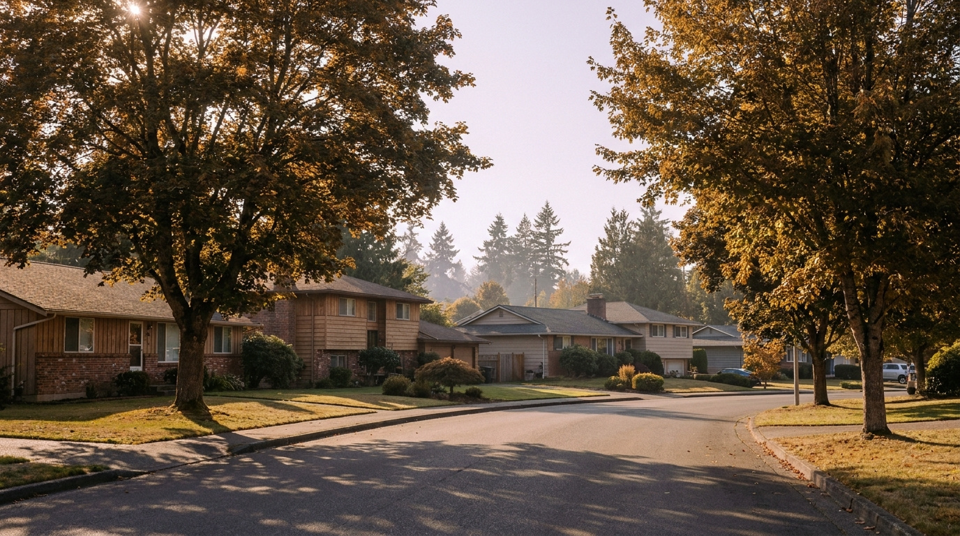
Buyer ResourcesRenton July 16, 2026

Relocating to Renton WA: What Newcomers Need to Know in 2026

If you’re relocating to Renton, you’re joining one of the more stable, well-positioned markets in King County. Here’s what you actually need to know before you land.

Why People Move to Renton

Renton sits at the intersection of I-405 and I-5, which works for commuters headed to Seattle, the Eastside, or south toward Tacoma. Boeing anchors a big share of local employment, and that stability shows up in the housing market too. See the latest numbers in my King County Real Estate Market Update.

Compared to Bellevue or Sammamish, Renton offers real value. A genuinely central location, without the Eastside luxury price tag.

What It Costs to Live in Renton

Renton’s median home price is running around $820,000, below King County’s overall median of $889,000, which makes it one of the more accessible entry points for relocating families and professionals.

Beyond housing, day-to-day costs in Renton track close to the King County average. Groceries, utilities, services. Not meaningfully cheaper or pricier than the rest of South King County.

Renton Neighborhoods Worth Knowing

Renton isn’t one neighborhood. It’s several distinct areas with different personalities. Kennydale sits along Lake Washington with some of the best water access in the city. Downtown Renton has grown up around The Landing, a mixed-use retail and dining hub that’s changed how the city center feels over the last decade. Fairwood and May Valley offer more suburban, larger-lot living further from the core. Full breakdown here: Living in Renton WA | 2026 Real Estate & Neighborhood Guide.

Relocating with a family? Spend time in each area before committing. Commute, school assignment, overall feel. They vary more than you’d expect for a city this size.

The Job Market

Boeing remains the single largest employer shaping Renton’s economy. That union-protected, long-tenured workforce gives the local housing market real stability compared to more tech-dependent Eastside cities. Beyond Boeing, Renton has a growing base of logistics, healthcare, and retail employers, plus easy access to both the Seattle and Bellevue job markets if you’re willing to commute 20 to 30 minutes.

What Surprises People Who Move to Renton

Most newcomers underestimate how central Renton actually is until they live there. The I-405/I-5 interchange access means you can reach Seattle, Bellevue, and even Tacoma in a reasonable drive. That’s not true of a lot of other affordable King County cities.

The other surprise: how much Renton has changed. The Landing and the downtown waterfront redevelopment added real amenities that didn’t exist a decade ago. If your mental image of Renton is outdated, visit in person before you rule it out.

Frequently Asked Questions

Is Renton WA a good place to relocate to in 2026?

Yes, particularly for buyers who want central King County access without Eastside luxury pricing. Renton’s location at the I-405/I-5 interchange, combined with Boeing’s stable employment base, makes it one of the more balanced relocation options in the county.

What is the commute like from Renton to Seattle and Bellevue?

Both commutes typically run 20 to 30 minutes without heavy traffic, though peak-hour congestion on I-405 and I-5 can extend that. Renton’s location gives commuters more flexibility than cities further south like Auburn or Federal Way.

What neighborhoods should I look at when relocating to Renton?

It depends on your priorities. Kennydale offers lake access, downtown Renton offers walkability near The Landing, and Fairwood or May Valley offer larger lots and a more suburban feel. Visiting each in person is the best way to find the right fit.

Ready to Explore Renton?

I spend a lot of time in Renton neighborhoods doing property valuations, so I know the differences between these areas better than a quick online search will tell you. Relocating and want a real local read? Happy to walk you through it.

Your guide to life outside Seattle.

Gregory Dorrell |
Coldwell Banker Bain | WA License #111862
253-350-0045
·

greg@livingoutsideseattle.com

·

www.livingoutsideseattle.com
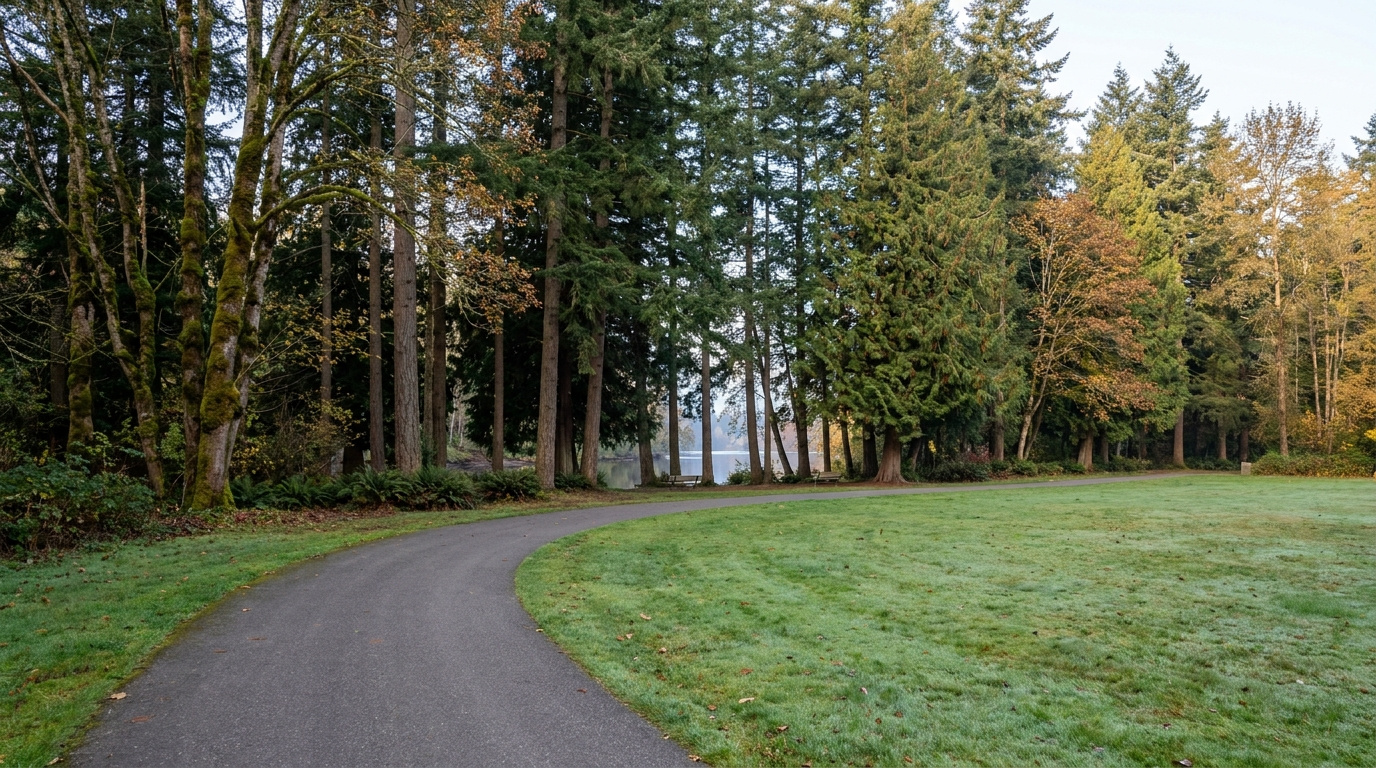
Buyer Resources July 16, 2026

Living in Meridian Valley/Benson Hill, Kent | 2026 Guide

Meridian Valley and the Benson Hill corridor cover the eastern reaches of Kent’s East Hill plateau — Meridian Valley wrapped around its private golf course just north of Lake Meridian, and the Benson corridor running up SR-515 toward the Renton line. This pocket has a Family-First Established feel, built around a private golf course and a string of quiet cul-de-sac streets that have not changed much in thirty years. Buyers who grew up nearby, or who already looked at East Hill and wanted a little more room to breathe, keep circling back to this corner of Kent in 2026. It is close enough to everything and far enough from the noise.

What is it actually like to live in Meridian Valley/Benson Hill in 2026?

Tuesday, 7:15 AM in Meridian Valley. Sprinklers are already running on the golf course, and the loudest thing on most streets is a garbage truck working its way through a cul-de-sac. Commute traffic builds fast once you hit SR-167, but inside the neighborhood itself the pace stays slow. Kids wait for the bus in small clusters at the end of long driveways, and most of the foot traffic before 8 AM is dog walkers making a loop before work.

Weekends center on the golf course and the park. Meridian Valley Country Club pulls in members for early tee times, and North Meridian Park fills up with families by mid-morning on a clear Saturday, kids on the ballfields and the picnic shelters filling by mid-morning. It is not a flashy scene. It is the kind of neighborhood where the same neighbors show up at the same park every weekend and everybody already knows everybody.

The buyers who land here almost always already know Kent. A lot of them grew up on the East Hill plateau a few miles south and want the same school district with a little more space and a quieter street. A smaller group comes from Renton, drawn by the lower price point on this side of the city line. Golf course frontage draws its own crowd too, buyers willing to pay extra for the view and the fairway access, even if they never pick up a club themselves.

Meridian Valley Country Club golf course fairway and mature trees in the Meridian Valley neighborhood of Kent, Washington
The Meridian Valley Country Club golf course anchors the neighborhood and shapes home values on the streets closest to the fairways.

Homes in Meridian Valley/Benson Hill: What the Data Shows

Most homes here went up in the 1980s and 1990s, with a scattering of newer construction filling in smaller lots near the Renton line. Expect 1,800 to 3,200 square feet on lots from 6,500 to 12,000 square feet, and noticeably larger parcels on the streets that back directly onto the golf course. Two-story traditional homes dominate, with a handful of ramblers mixed in from the earliest phase of development. Attached two- and three-car garages are standard, and homes fronting the fairways run bigger and pricier than the rest of the neighborhood.

Market Pulse Meridian Valley/Benson Hill (Kent) King County
Median Sales Price (June 2026) ~$697,000 citywide ~$998,000
Median Days on Market ~12 days ~10 days
Active Listings Change (vs. Jan 2026) +95% +127%

Figures reflect Kent citywide residential data for June 2026, the most recent closed month in the NWMLS export. Meridian Valley and Benson Hill do not get isolated in the monthly pull, so treat the price row as a citywide reference point. In practice, homes on or near the golf course, and homes closest to North Meridian Park, typically sell above this citywide median.

Schools Serving Meridian Valley/Benson Hill

This neighborhood falls inside the Kent School District. Meridian Elementary School anchors the pipeline, sitting right in the neighborhood at 140th Avenue SE. Verifying the actual feeder pattern for this specific area turned up something worth flagging: Meridian Elementary feeds into Mattson Middle School, not Meridian Middle School as some general Kent guides assume. Always confirm the exact feeder for your address before assuming the standard pipeline applies here.

Meridian Elementary runs a Gifted and Talented program alongside its core curriculum, with strong marks in both English Language Arts and math relative to the district average. Mattson Middle School, a short drive north in Covington, offers a Project Lead the Way program that gives students an early run at engineering and technical coursework before high school. Kentwood High School closes out the pipeline with a full slate of Advanced Placement courses and a graduation rate around 96%, along with multiple college success awards in recent years.

The day-in-the-life pipeline here is mostly bus-based. Elementary kids catch the bus at the end of their street, middle schoolers ride further to Mattson, and high schoolers make the longest trip out to Kentwood. Very little of this pipeline is walkable, so factor bus routes and drop-off logistics into your decision if you are relocating with school-age kids.

Getting to Work from Meridian Valley/Benson Hill

Take 132nd Avenue SE or SE 240th Street west to reach SR-167, the Valley Freeway that runs the length of Kent and connects north into Renton and I-405. This is one of the better-connected pockets of Kent for anyone commuting toward the Eastside.

Destination Distance 2026 Drive Time (Peak AM) Transit Option
Downtown Seattle 23 miles 38 to 58 min Metro bus to Kent Sounder Station
Bellevue / Amazon 16 miles 28 to 42 min SR-167 to I-405
Microsoft (Redmond) 24 miles 38 to 52 min SR-167 to I-405 to SR-520
SeaTac Airport 13 miles 18 to 28 min SR-167 to I-5

1980s two-story home with attached garage in the Meridian Valley and Benson Hill area of Kent, Washington
A typical 1980s two-story home on an established street in Meridian Valley/Benson Hill.

What I See as a Valuation Expert in Meridian Valley/Benson Hill

When I price homes for institutional clients, proximity to the golf course tends to drive more of the value swing than almost any other factor in this neighborhood. A home with a direct fairway view, or one backing onto the course itself, commands a real premium over an interior lot of the same size. Roof age and siding condition matter more here than in newer parts of Kent too, since most of this housing stock is now thirty to forty years old and due for a second or third round of major system replacement.

HOA presence is light outside the immediate country club streets, so curb appeal and yard maintenance vary block to block. I still see a lot of original windows and single-pane glass on homes that have not been updated since they were built. That is not a dealbreaker, but it shows up in the comps, often as a five-figure gap between an updated home and one that has not touched its systems since the 1990s.

Golf course frontage and homes within easy walking distance of North Meridian Park sell fastest and hold value best. Interior lots on the older, non-golf-adjacent streets move at a more typical Kent pace and price closer to the citywide median.

Frequently Asked Questions: Living in Meridian Valley/Benson Hill

Q: Is Meridian Valley/Benson Hill a good place to live?
A: Yes, especially if you want an established, quiet neighborhood with strong Eastside commute access and a defining amenity in the Meridian Valley Country Club golf course.

Q: What are homes like in Meridian Valley/Benson Hill?
A: Mostly 1980s and 1990s two-story homes running 1,800 to 3,200 square feet on lots from 6,500 to 12,000 square feet, with larger, pricier parcels backing directly onto the golf course.

Q: What schools serve Meridian Valley/Benson Hill?
A: The Kent School District serves this area. Meridian Elementary feeds into Mattson Middle School and then Kentwood High School. Always confirm the exact pipeline for your address, since some general Kent guides list a different middle school feeder.

Q: How far is Meridian Valley/Benson Hill from Seattle?
A: About 23 miles from downtown Seattle, with a 38 to 58 minute drive during the morning commute. This pocket sits closer to the Eastside than most of Kent, with a 28 to 42 minute drive to Bellevue.

Explore Meridian Valley/Benson Hill Yourself

Drive it on a weekday morning to feel the commute, then come back on a Saturday to see the golf course and North Meridian Park in full use. The difference between a golf-adjacent street and an interior street is easy to see once you are standing on it.

View Meridian Valley/Benson Hill on Google Maps →

Your guide to life outside Seattle.

Gregory Dorrell | Coldwell Banker Bain | WA License #111862
253-350-0045  ·
greg@livingoutsideseattle.com  ·
www.livingoutsideseattle.com
Buyer Resources July 14, 2026

Living in Covington/SE Kent, Kent WA | 2026 Guide

The southeast edge of Kent is where the city starts to loosen up. Fences give way to trees, driveways get longer, and a half-acre lot starts to feel normal instead of rare. This is a Wooded Sanctuary neighborhood, built for buyers who want more land and more quiet without leaving Kent behind entirely. A few streets here carry a Kent address. A few blocks over, you cross into the actual city of Covington, and the line matters less for daily life than it does for which school district shows up on your tax bill.

What is it actually like to live in Covington/SE Kent in 2026?

Tuesday, 7:15 AM in SE Kent. Long driveways mean you do not see your neighbors until you are both backing out toward the main road. Trees still hold most of the morning fog off Soos Creek, and the loudest sound most mornings is a school bus working its way down a cul-de-sac instead of highway traffic. Commuters heading toward SR-167 or the Covington side of SR-516 spread out fast, so the roads rarely feel as tight as East Hill or downtown Kent at the same hour.

Weekends lean toward the yard and the trail. A lot of these lots came with room to garden, park a boat, or let the kids run without hearing a fence line every fifteen feet, and residents use it. Jenkins Creek Park and the Soos Creek trail system pull in families for hikes, and Saturday mornings often mean a drive into Covington Town Center for coffee, groceries, or a kid’s soccer game at one of the nearby fields.

This pocket draws buyers who already looked at East Hill or Lake Meridian and wanted one more thing: space. Buyers who want acreage-adjacent living without leaving the Kent School District orbit end up here, alongside a smaller group willing to buy into the Tahoma School District boundary for that district’s reputation. It is quieter and greener than almost anywhere else in Kent, and buyers usually notice the difference in the first five minutes of a showing.

Wooded trail through Jenkins Creek Park greenbelt in the Covington and SE Kent area of Kent, Washington
The trail through Jenkins Creek Park and the Soos Creek greenbelt anchors weekend life in Covington/SE Kent.

Homes in Covington/SE Kent: What the Data Shows

Homes in Covington/SE Kent mostly went up in the 1990s and early 2000s, later than East Hill and later still than the older stock in West Hill or downtown. Expect 1,800 to 3,500 square feet, with a real mix of two-story traditional homes and single-level ramblers. The defining feature here is the lot, not the house. Quarter-acre parcels are the floor, and half-acre lots show up regularly, especially on the streets closest to the Covington line. Attached three-car garages are common, and a fair number of properties back onto greenbelt or a wooded buffer instead of a neighbor’s fence. Buyers comparing this area to East Hill should expect to pay more for the land, not necessarily for the square footage.

Market Pulse Covington/SE Kent (Kent, 98042) King County
Median Sales Price (June 2026) ~$697,000 citywide ~$998,000
Median Days on Market ~12 days ~10 days
Active Listings Change (vs. Jan 2026) +95% +127%

Figures reflect Kent citywide residential data for June 2026, the most recent closed month in the NWMLS export. This southeast corridor does not get isolated in the monthly pull, so treat the price row as a citywide reference point. In practice, larger-lot homes here, and homes confirmed inside the Tahoma School District boundary, typically sell above this citywide median.

Schools Serving Covington/SE Kent

This is the one part of Kent where the school district itself changes street to street. Most of Covington/SE Kent falls in the Kent School District, but a meaningful stretch closer to the actual city of Covington sits inside the Tahoma School District instead. A home on one side of a street can feed into a completely different set of schools than a home directly across from it. Always confirm the district assignment for the specific address before writing an offer here.

If your address falls in the Kent School District, expect Cedar Valley Elementary, Cedar Heights Middle School, and Kentlake High School as the standard pipeline for this corridor. Cedar Heights runs a Project Lead the Way program alongside its core academics, and Kentlake offers a full Advanced Placement course lineup for families planning ahead for college applications. Confirm this pipeline against the specific address before assuming it applies.

Cross into the Tahoma School District boundary and the pipeline shifts to a Tahoma-zoned elementary school, Maple View Middle School, and Tahoma Senior High School, consistently one of the highest-rated high schools in the state. Tahoma’s boundary reaches into Covington itself and pulls in some SE Kent addresses close to the city line, so a Kent mailing address does not guarantee Kent School District. Confirm the district and the exact school assignment with both districts’ boundary tools before you get attached to a listing.

Getting to Work from Covington/SE Kent

SE Kent sits away from the freeway grid, so plan for surface streets before you reach anything with an interstate number. Take SE 272nd Street or Kent-Kangley Road west to reach SR-167, or head east through Covington and Maple Valley on SR-516 and SR-18.

Destination Distance 2026 Drive Time (Peak AM) Transit Option
Downtown Seattle 24 miles 40 to 60 min Metro bus to Kent Sounder Station
Bellevue / Amazon 22 miles 38 to 55 min SR-18 to I-405
Microsoft (Redmond) 29 miles 45 to 65 min SR-18 to I-405 to SR-520
SeaTac Airport 16 miles 25 to 35 min SR-167 to I-5

1990s two-story home on a wooded half-acre lot in the Covington and SE Kent corridor of Kent, Washington
A typical 1990s two-story home on a wooded half-acre lot in Covington/SE Kent.

What I See as a Valuation Expert in Covington/SE Kent

When I price homes for institutional clients, lot size and privacy tend to carry more of the value swing than almost anywhere else I work in Kent. A well-treed half-acre lot with a usable backyard commands a real premium over a same-square-footage home on a standard quarter-acre, especially when the buffer blocks a neighbor’s view entirely. Septic systems show up on some of the older or more rural parcels out here too, and a septic inspection matters as much as the roof and the furnace when I am pricing a property in this corridor.

School district assignment is its own value driver, separate from the house itself. Two nearly identical homes on opposite sides of the district line can sell for meaningfully different numbers because of the school assignment alone. HOA presence is light out here. Most of these subdivisions went up without one, so curb appeal and maintenance vary more block to block than in a managed community further east.

Homes confirmed inside the Tahoma School District boundary pull the clearest premium in this corridor, and it rests on school reputation alone. Homes backing directly onto greenbelt or Jenkins Creek Park also move faster than interior lots with the same square footage.

Frequently Asked Questions: Living in Covington/SE Kent

Q: Is Covington/SE Kent a good place to live?
A: Yes, especially for buyers who want more land and privacy than East Hill or Lake Meridian offer, and who do not mind trading some freeway access for quieter streets and bigger lots.

Q: What are homes like in Covington/SE Kent?
A: Mostly 1990s and early 2000s construction, running 1,800 to 3,500 square feet on quarter- to half-acre lots, with more wooded and greenbelt-adjacent parcels than almost anywhere else in Kent.

Q: What schools serve Covington/SE Kent?
A: It depends on the exact address. Part of this corridor falls in the Kent School District, with Cedar Valley Elementary, Cedar Heights Middle, and Kentlake High School as the standard pipeline. Part falls in the Tahoma School District, home to Maple View Middle School and Tahoma Senior High School. Always confirm which district serves a specific address before writing an offer.

Q: How far is Covington/SE Kent from Seattle?
A: About 24 miles from downtown Seattle. Driving takes 40 to 60 minutes depending on traffic, since this corridor sits away from the main freeway routes that serve the rest of Kent.

Explore Covington/SE Kent Yourself

Drive the neighborhood before you decide, and drive it twice: once on a weekday morning to feel the commute, and once on a Saturday to see how the trails and the town center actually get used. Lot size and tree cover read completely differently in person than they do in a listing photo.

View Covington/SE Kent on Google Maps →

Your guide to life outside Seattle.

Gregory Dorrell | Coldwell Banker Bain | WA License #111862
253-350-0045  ·
greg@livingoutsideseattle.com  ·
www.livingoutsideseattle.com
King County Market Update July 14, 2026

East & South King County Market Update [July 2026]

What changed this week in the King County market?

Countywide activity kept cooling this week. Closings dropped to 388, the slowest week since January, and new listings fell to 743. Active inventory eased slightly to 7,647, but with fewer sales clearing, weeks of supply pushed up to 19.7, the highest reading of 2026. The county median sale price slipped to $825,000, and just 17.5% of sales closed above list, also a 2026 low.

South King County did most of the slowing. Closings fell to 77 from 107 last week, weeks of supply jumped to 19.4 from 14, and the median sale price came back to $650,000. Here is the part that headline number hides: pendings rose to 169 from 143. Buyers down south are still writing offers, they just have not reached the closing table yet.

The Eastside went the other way. Closings ticked up to 90, supply eased to 24 weeks, and pendings cooled to 148. The median sale price came down to $1,337,500, which means the value side has finally caught up with the volume slowdown I flagged last week.

The takeaway: these two markets traded places. The Eastside is settling into its price level, while South King County’s dip looks like a timing gap rather than a demand problem. Watch the South King pending count next Monday. If those close, the slow week was noise.

Looking further out than this week? Read the King County housing market forecast for 2026.

Nationally, Freddie Mac’s weekly survey put the 30-year fixed at 6.67 percent on August 13, down slightly from 6.69 percent the week before, while the National Association of Realtors reports 1.54 million homes for sale, about 4.6 months of supply, and existing home sales running at a 4.06 million annual pace. King County residential supply is still tighter than the national picture at 3.8 months on the latest monthly NWMLS data, and local closings hold far closer to full list price than the national average.

Is King County a buyer’s or seller’s market right now?

King County at a glance: July 2026 (NWMLS)

Metric Residential Condo
Median sale price $1,000,000 $520,000
Change vs. last month +0.5% +0.9%
Change vs. last year +0.1% −3.7%
Closed sales 1,504 413
New listings 3,099 1,016
Active listings 5,423 2,540
Months of supply 3.8 6.0
Median days on market 11 28
% of list price received 100% 99.1%

King County, July 2026 closed-sale data. Source: NWMLS via InfoSparks.

Two different markets are hiding in that table. Single-family homes county-wide are still moving quickly at asking price. Condos are carrying nearly twice the supply, taking more than twice as long to sell, and their median price has fallen harder over the past year. If you own a condo and plan to sell, pricing honestly matters more for you than for anyone else in this report.

The table below is the heart of this page. It compares all seven cities I serve, plus the county itself, using July 2026 NWMLS closed-sale data. This month the split looks different than it has in a while: Sammamish, Issaquah, and Federal Way all posted real year-over-year price gains, while Bellevue, Renton, and Auburn slipped slightly. Supply widened almost everywhere compared to last year, giving buyers more room across the board.

City comparison: July 2026 (single-family, NWMLS)

City Median price YoY Active listings Months of supply Median DOM % of list received Closed sales
Bellevue $1,830,000 −1.1% 372 4.9 13 97.7% 85
Sammamish $1,725,000 +5.3% 253 5.5 18 97.3% 57
Issaquah $1,575,000 +7.9% 135 4.4 9 97.5% 41
Renton $810,000 −4.7% 317 3.9 19 100% 80
Kent $700,000 +1.4% 270 3.8 11 100% 82
Auburn $649,000 −1.2% 247 3.5 18 100% 65
Federal Way $645,000 +7.5% 180 3.5 15 100% 59
King County (single-family) $1,000,000 +0.1% 5,423 3.8 11 100% 1,504
King County (condo) $520,000 −3.7% 2,540 6.0 28 99.1% 413

July 2026 closed-sale data. Each city’s figures are its own true NWMLS numbers. I never average medians across cities. Source: NWMLS via InfoSparks.

How is the Bellevue housing market right now?

Median price YoY Months of supply Median DOM % of list Active Closed
$1,830,000 −1.1% 4.9 13 97.7% 372 85

Single-family, July 2026. Source: NWMLS.

Bellevue is really two markets. Move-in-ready homes under the luxury tier still draw serious competition, while the condo segment and un-staged or dated listings carry the most negotiating room in the entire county. If you are comparing renting against owning here, my Bellevue rent vs. buy breakdown runs the actual numbers.

Is the Sammamish market cooling off?

Median price YoY Months of supply Median DOM % of list Active Closed
$1,725,000 +5.3% 5.5 18 97.3% 253 57

Single-family, July 2026. Source: NWMLS.

Sammamish is almost entirely one product type, larger single-family homes, so when supply builds the whole city feels it at once. Buyers here are taking their time and looking hard at lot slope, drainage, and road noise before they write. My neighborhood guides for Sahalee and East Lake Sammamish Parkway cover the pockets buyers ask about most.

Is Issaquah still a good buy on the Eastside?

Median price YoY Months of supply Median DOM % of list Active Closed
$1,575,000 +7.9% 4.4 9 97.5% 135 41

Single-family, July 2026. Source: NWMLS.

The Issaquah Highlands keeps pulling steady showing traffic because it is the most affordable way into Eastside schools without paying Bellevue or Sammamish prices. I wrote up the full case in my Issaquah buyer opportunity guide.

What are home prices doing in Renton?

Median price YoY Months of supply Median DOM % of list Active Closed
$810,000 −4.7% 3.9 19 100% 317 80

Single-family, July 2026. Source: NWMLS.

Renton is three markets wearing one name. The Highlands, Benson Hill, and downtown each price and move differently, which is why the citywide median bounces around. It stays the top landing spot for buyers who work on the Eastside but will not pay Eastside prices. Start with my downtown Renton guide if you are new to the city.

Is Kent a good place to buy a home right now?

Median price YoY Months of supply Median DOM % of list Active Closed
$700,000 +1.4% 3.8 11 100% 270 82

Single-family, July 2026. Source: NWMLS.

East Hill family homes are the engine here, and demand for them has not let up. Steady markets punish guesswork, so pricing accuracy matters more in Kent than almost anywhere I work. If you are weighing the move, start with my guide to buying a home in Kent and the Kent family neighborhoods breakdown.

Why are Auburn homes selling so fast?

Median price YoY Months of supply Median DOM % of list Active Closed
$649,000 −1.2% 3.5 18 100% 247 65

Single-family, July 2026. Source: NWMLS.

Auburn is the most affordable single-family entry point of my seven cities, and buyers know it. When the median home goes pending in eight days, showing up without a pre-approval letter means losing the house. Lakeland Hills and the Enumclaw plateau side keep drawing families who want newer construction for less. My guide to living in Auburn covers the neighborhoods and what your budget buys in each.

Is Federal Way the best value in King County?

Median price YoY Months of supply Median DOM % of list Active Closed
$645,000 +7.5% 3.5 15 100% 180 59

Single-family, July 2026. Source: NWMLS.

Federal Way sits in the sweet spot between Seattle and Tacoma commutes, and starter homes here have stayed insulated from the cooling happening on the Eastside. My Living in Federal Way guide maps out where those values are.

What does this mean if you’re buying or selling right now?

If you’re buying: your leverage depends on which half of the county you’re shopping. On the Eastside, use the extra supply. Ask for inspection time, negotiate on homes that have sat past three weeks, and don’t chase overpriced listings. In South King County, come prepared to move fast on the good ones, because they still go in under two weeks. Either way, with rates near their best level in almost two months, it may be worth a look at a rate buydown to bring the payment down further.

If you’re selling: the market is telling sellers one thing loudly: price to the current comps, not to your neighbor’s sale from March. Hundreds of King County sellers cut their price this week alone, and every one of those cuts started with an asking price the market rejected. Condition matters more than it has in years. If you get the first two weeks right, you sell. My guide on how to price your home to sell in King County walks through exactly how I build a list price.

Frequently asked questions

Is now a good time to buy in South King County?

If the payment works for you, yes. Prices in Kent, Auburn, and Federal Way are up modestly from last year, so waiting has not been rewarding buyers there. Inventory is better than it has been in years, and rates just hit a seven-week low. The value end of the county is competitive but not frantic.

Which King County suburb has the lowest home prices?

Among my seven cities, Federal Way and Auburn are essentially tied for the lowest single-family medians in July 2026, both just under $650,000. Kent isn’t far behind. For the lowest entry point of all, condos remain the cheapest way to own in King County.

Are Eastside home prices dropping?

June medians in Bellevue, Sammamish, and Issaquah all came in below last year, and supply on the Eastside has grown faster than anywhere else in the county. That reads as a real cooling, not a collapse. Well-priced homes still sell in under two weeks. The overpriced ones are the ones sitting and cutting.

How often is this page updated?

Every Monday I refresh the “what changed this week” section with the newest NWMLS activity. Once a month, when the new monthly data lands, I rebuild every table and city capsule on this page. Bookmark it. The URL never changes.

Your guide to life outside Seattle.

Gregory Dorrell | Coldwell Banker Bain | WA License #111862
253-350-0045  ·
greg@livingoutsideseattle.com  ·
www.livingoutsideseattle.com
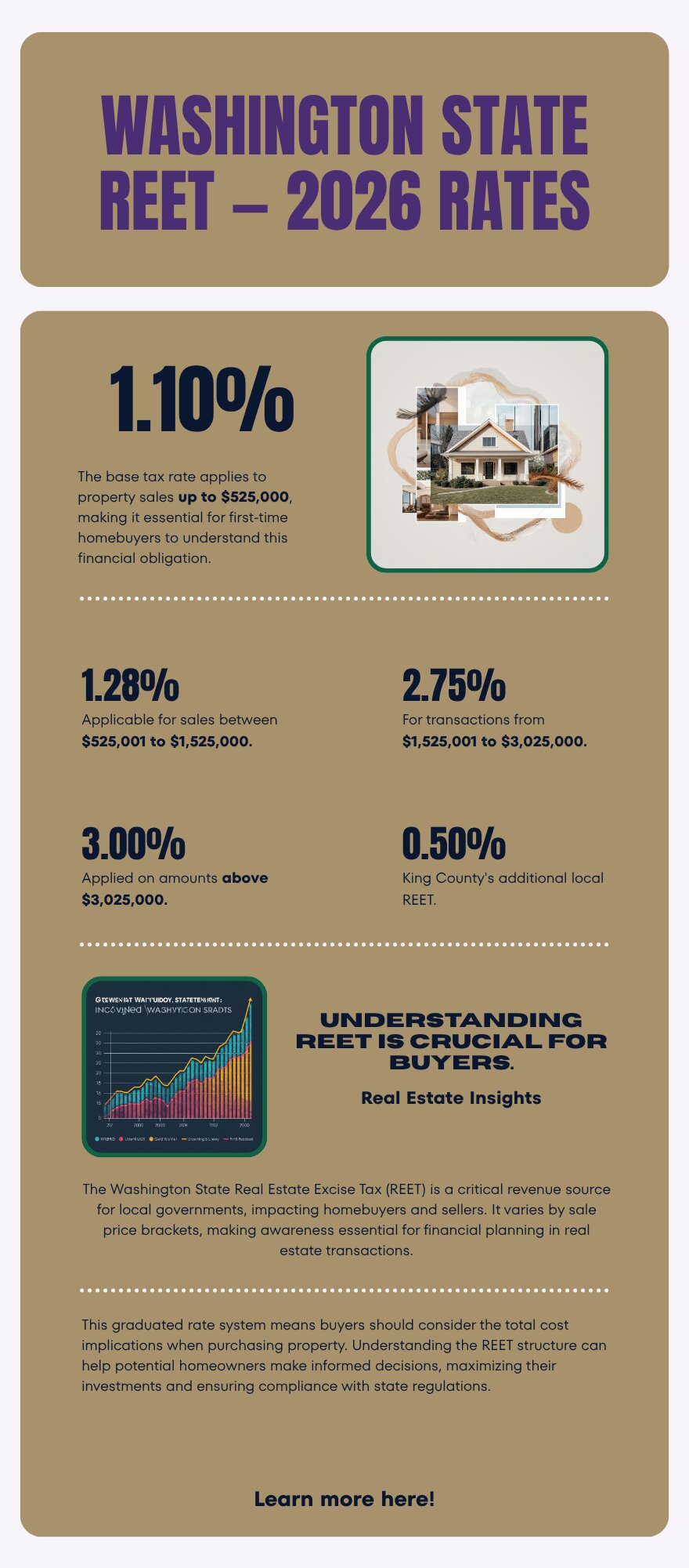
Buyer Resources July 13, 2026

Is Auburn WA a Good Place to Buy a Home in 2026?

If you’re a first-time buyer priced out of Renton or Kent, Auburn is worth a serious look. It’s one of the last places in King County where a starter home doesn’t require a six-figure income just to qualify.

Here’s what actually matters if you’re thinking about buying there in 2026.

What You Get for Your Money in Auburn

Auburn sits at the affordable end of King County’s pricing spectrum, with a median home price around $560,000 as of June 2026. For a first-time buyer, that gap compared to Renton, Kent, or the Eastside can mean the difference between qualifying for a mortgage and not.

You’re typically getting more square footage and a bigger lot for the same monthly payment you’d pay for a smaller Kent condo or a Renton starter home. More space for less money. That’s Auburn’s core appeal.

Commute Reality Check

Auburn sits south of Kent, further from the job centers most King County buyers commute to. If you work in downtown Seattle, Bellevue, or the tech corridor, be honest about the drive. I-5 and SR-167 both see real congestion at peak hours.

But Auburn has its own employment base too. Muckleshoot-area employers, warehousing and logistics along the SR-167 corridor, a growing downtown. All of that supports jobs that don’t require a Seattle commute. Work locally, or have a flexible schedule? The commute math changes entirely.

What Neighborhoods to Look At

Auburn isn’t one uniform market. Some pockets are older and more established. Others are newer construction closer to the Green River trail system. For the full breakdown by area, see my Living in Auburn guide.

Families should look closely at school boundaries before falling in love with a specific street. Auburn School District covers a wide area, and school assignment can vary block by block in parts of the city.

Is Now the Right Time, or Should You Wait?

Every first-time buyer asks this question. The honest answer depends on your situation more than the market’s. Auburn’s days on market has stretched to about 35 days compared to a year ago, which means less pressure to rush a decision. For the full picture on why, see How Long Does It Take to Sell a Home in Auburn WA in 2026?

Waiting for rates to drop rarely pays off the way buyers hope. Home prices in affordable markets like Auburn tend to firm up as rates ease, since more buyers suddenly qualify. Find a home that fits your budget and needs today? The math usually favors buying now over waiting for a hypothetical better moment.

What First-Time Buyers Get Wrong About Auburn

The biggest mistake I see is buyers assuming “affordable” means “lower quality.” Not accurate. Auburn has plenty of well-maintained homes, strong neighborhoods, real long-term value. The homes that look rough usually reflect one owner’s deferred maintenance, not a citywide condition issue.

The second mistake is skipping a real inspection to save money on an already-affordable purchase. An inspection on a $500,000 home costs the same as one on a $1.5 million home. And it protects a much bigger share of your net worth in the affordable range.

Frequently Asked Questions

Is Auburn WA affordable for first-time home buyers?

Yes. Auburn consistently has some of the lowest median home prices in King County, making it one of the more accessible entry points for first-time buyers who are priced out of Renton, Kent, or the Eastside.

What is the commute like from Auburn to Seattle?

Auburn’s commute to downtown Seattle or Bellevue runs through I-5 or SR-167, both of which see real congestion during peak hours. Buyers who work locally or have flexible schedules avoid most of this friction. Buyers commuting daily to downtown Seattle should factor in 45 minutes to over an hour depending on traffic.

Should I buy in Auburn now or wait for rates to drop?

Waiting for rates to drop rarely benefits buyers in affordable markets like Auburn, since lower rates tend to bring in more buyers and firm up prices. If a home fits your budget and needs today, buying now usually makes more financial sense than waiting for uncertain future conditions.

Thinking About Buying in Auburn?

I’ve walked hundreds of King County homes doing professional valuations, plenty of them in Auburn. Want an honest read on a specific neighborhood or property? I’ll help you figure out what makes sense for your budget and timeline.

Your guide to life outside Seattle.

Gregory Dorrell |
Coldwell Banker Bain | WA License #111862
253-350-0045
·

greg@livingoutsideseattle.com

·

www.livingoutsideseattle.com
Buyer Resources July 13, 2026

Living in Kent Station/Midway, Kent WA | 2026 Guide

Midway sits at Kent’s north end, where the city runs into SeaTac and Des Moines along SR-99 and I-5. This is a Walkable Urban Edge neighborhood, built around the SR-99 corridor and the new Kent Des Moines light rail station, which opened in December 2025 next to Highline College. Buyers who want the lowest entry price in Kent, or who fly for work and want to feel it in their weekly schedule, end up looking here first. The area has leaned commercial for years, but new residential development keeps filling in around the transit hub.

What is it actually like to live in Kent Station/Midway in 2026?

Tuesday, 7:15 AM in Midway. Link trains pull into the elevated Kent Des Moines Station every few minutes, and RapidRide buses work the Pacific Highway corridor below. SR-99 traffic builds early along the retail strip, but the residential streets just off the highway stay quieter than you would expect this close to a major corridor. Older single-family blocks sit a few minutes’ walk from newer townhome clusters, so the morning rhythm depends on which block you are standing on.

Weekends lean local: errands along the SR-99 retail strip, campus events at Highline College, and quick trips to the Des Moines waterfront a few minutes west. A fair number of residents ride Link or RapidRide to SeaTac for a flight without ever touching I-5. This is not a neighborhood built around a single park the way Lake Meridian is built around its beach. The draw here is proximity, to the airport, to transit, and to a lower price point than almost anywhere else in Kent.

Who lives in Midway? A lot of first-time buyers and renters converting to owners, priced out of the rest of Kent or the Eastside. Frequent flyers and commuters who value the SeaTac drive time above square footage. And a growing number of buyers eyeing the newer townhome product near the light rail station, trading a bigger lot for walkability and a lower payment. Everywhere else in Kent sells space. Midway sells access.

Commuters using the RapidRide bus platform at the Kent Station transit center in the Midway area of Kent, Washington
The elevated Kent Des Moines Link station anchors daily life in Midway, with 1 Line trains and RapidRide service connecting residents to SeaTac, Seattle, and beyond.

Homes in Kent Station/Midway: What the Data Shows

Housing in Midway mixes two very different generations of product. Older single-family homes, most built between the 1950s and 1970s, sit on standard city lots close to the highway corridor, running 900 to 1,700 square feet. Alongside them, newer townhomes and multi-family buildings have gone up over the last decade near the light rail station, offering 2 and 3 bedroom layouts with attached garages and less yard to maintain. Lot sizes on the older single-family stock run 5,000 to 7,500 square feet. Buyers should expect more deferred maintenance here than in East Hill or Lake Meridian. This pocket has historically drawn less renovation investment than the newer subdivisions further east.

Market Pulse Kent Station/Midway (Kent, 98032) King County
Median Sales Price (June 2026) ~$697,000 citywide ~$998,000
Median Days on Market ~12 days ~10 days
Active Listings Change (vs. Jan 2026) +95% +127%

Figures reflect Kent citywide residential data for June 2026, the most recent closed month in the NWMLS export. Midway does not get isolated in the monthly pull, so treat the price row as a citywide reference point. In practice, older single-family homes in Midway itself typically sell below this citywide median, while newer townhome product near the light rail station prices closer to or above it.

Schools Serving Kent Station/Midway

Midway falls inside the Kent School District. Kent Elementary School, on 64th Avenue South, is the confirmed elementary for the 98032 corridor that includes this area. Confirm your specific street with the district before writing an offer, since Midway sits close to where Kent, Des Moines, and SeaTac attendance zones meet.

Kent Elementary runs standard neighborhood programming with a tight community feel, typical of the district’s smaller, older elementary campuses. Middle and high school assignment for this corridor should be verified directly. General district feeder patterns point toward Mill Creek Middle School and Kent-Meridian High School, but that has not been confirmed at the address level for the Midway pocket. This is one area of Kent where a five-minute call to the district saves a real headache later.

Elementary-age kids in most of Midway walk or bus a short distance to Kent Elementary. Middle and high schoolers bus further, and the exact route depends on which side of the SR-99 corridor the address falls on, since this stretch sits close to a boundary line rather than squarely inside one attendance zone.

Getting to Work from Kent Station/Midway

Midway is the most transit-connected pocket of Kent by a wide margin. Take Pacific Highway South (SR-99) directly to I-5 in either direction, or ride Link light rail from the Kent Des Moines Station, with RapidRide A running the corridor and reaching SeaTac in minutes without touching a freeway at all.

Destination Distance 2026 Drive Time (Peak AM) Transit Option
Downtown Seattle 18 miles 30 to 50 min Link 1 Line from Kent Des Moines Station
Bellevue / Amazon 20 miles 35 to 50 min I-5 to I-405
Microsoft (Redmond) 27 miles 42 to 60 min I-5 to SR-520
SeaTac Airport 5 miles 10 to 15 min SR-99 or RapidRide
1960s single-family home exterior on a standard city lot near the Kent Station transit corridor in Kent, Washington
A typical 1960s single-family home on a standard city lot in the Midway area of Kent.

What I See as a Valuation Expert in Kent Station/Midway

When I price homes for institutional clients, condition tends to carry more of the value swing than almost anywhere else I work in Kent. This pocket has an older housing stock that has not kept pace with the renovation investment I see in East Hill or Lake Meridian, so a well-updated single-family home stands out fast against its neighbors. Systems age matters too. Roofs, furnaces, and electrical panels on 1950s and 1960s homes need a hard look before you write an offer.

HOA presence is light on the older single-family stock and more common on newer townhome developments near the light rail station. Curb appeal varies block to block more than in a managed subdivision, and highway noise is a real factor on blocks closest to SR-99 that buyers should walk and listen to in person before deciding. Proximity to transit and the airport is the value driver that outweighs almost everything else here.

Newer townhomes within a short walk of the light rail station pull the strongest premium in this corridor, especially units marketed toward commuters and frequent flyers. Well-maintained transit-adjacent townhomes typically sell at a clear premium over comparable units a half-mile further out, even with nearly identical square footage and finish level.

Frequently Asked Questions: Living in Kent Station/Midway

Q: Is Kent Station/Midway a good place to live?
A: Yes, especially for buyers who want the lowest entry price in Kent and value transit and airport access over lot size. It is one of the most walkable, transit-connected pockets in the city.

Q: What are homes like in Kent Station/Midway?
A: A mix of older single-family homes from the 1950s through 1970s running 900 to 1,700 square feet, alongside newer townhomes and multi-family buildings near the light rail station. Older homes here often need more updating than homes further east in Kent.

Q: What schools serve Kent Station/Midway?
A: The area falls in the Kent School District. Kent Elementary School is the confirmed elementary for the 98032 corridor. Middle and high school assignment should be confirmed directly with the district, since Midway sits close to where Kent, Des Moines, and SeaTac boundaries meet.

Q: How far is Kent Station/Midway from Seattle?
A: About 18 miles north of downtown Seattle. Driving takes 30 to 50 minutes at peak times, or ride Link light rail straight from Kent Des Moines Station. SeaTac Airport is just 5 miles away, about 10 to 15 minutes without touching I-5.

Explore Kent Station/Midway Yourself

Stand under the elevated platform at Kent Des Moines Station before you decide. Watch the trains and buses cycle through, and get a feel for how much of the daily rhythm here revolves around transit instead of a car. It reads completely differently in person than it does from a listing photo of the house alone.

View Kent Station/Midway on Google Maps →

Your guide to life outside Seattle.

Gregory Dorrell | Coldwell Banker Bain | WA License #111862
253-350-0045  ·
greg@livingoutsideseattle.com  ·
www.livingoutsideseattle.com
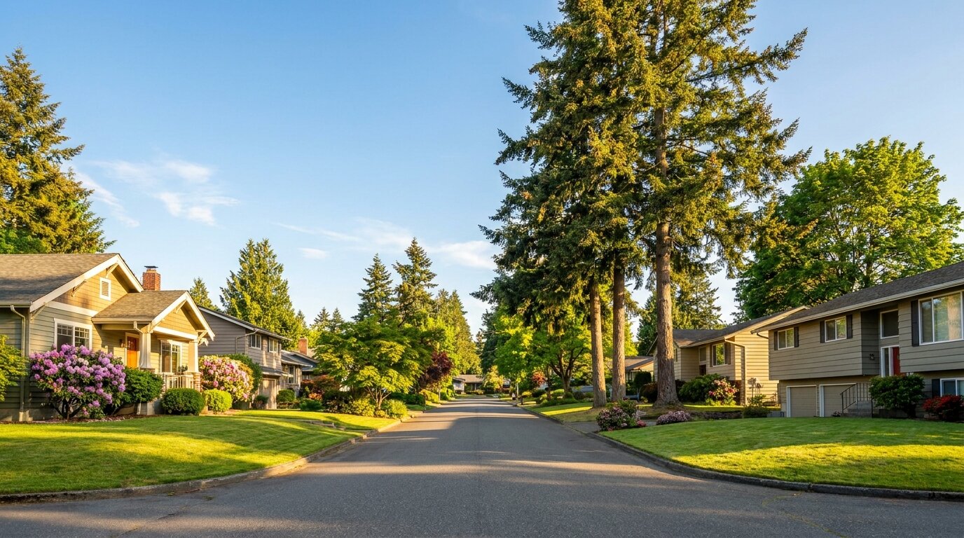
Buyer Resources July 12, 2026

Living in Soos Creek Corridor, Kent WA | 2026 Guide

The Soos Creek Corridor is the long green spine running through East Hill Kent, built around nearly six miles of paved trail that follows Big Soos Creek from SE 192nd Street south toward Lake Meridian. It is a Wooded Sanctuary neighborhood, the kind of place where the trees showed up before the houses did. Buyers looking for space, quiet, and a real creek in the backyard, without giving up East Hill’s schools and commute options, end up here more than almost anywhere else I show in Kent. Most of the corridor sits on quarter-acre to half-acre lots, rare this close to the city core.

What is it actually like to live in Soos Creek Corridor in 2026?

Tuesday, 7:15 AM along the Soos Creek Corridor. The trail already has a steady stream of runners and dog walkers before most of the neighborhood has finished coffee, cutting through fog that hangs low over the creek bed under the fir canopy. Driveways here tend to be long, and a lot of them curve out of sight from the street, so you do not see your neighbors’ houses so much as their mailboxes. The quiet is the first thing people notice. No highway hum, just birds and the occasional school bus working its way down a cul-de-sac.

Weekends belong to the trail and the trees. Families walk the Soos Creek Trail in both directions, cyclists use it as a training loop, and a fair number of residents just disappear into their own half-acre for the better part of a Saturday, mowing, gardening, or building something in the garage. It is not a neighborhood built around a single gathering spot the way Lake Meridian is built around its beach. The draw here is space and privacy.

Who lives in the corridor? A lot of move-up buyers who outgrew a smaller East Hill lot and wanted room for a shop, a garden, or horses on the larger parcels. Buyers who found a lot big enough for a second dwelling. And a steady trickle of buyers priced out of Maple Valley or Covington who found the same wooded, semi-rural feel closer to Kent’s core, at a lower price. Everywhere else in Kent sells proximity. This stretch sells distance, even though you are still minutes from Kent-Kangley Road.

Walkers and cyclists on the paved Soos Creek Trail through the wooded corridor in Kent, Washington
The Soos Creek Trail runs nearly six miles through the corridor, the daily gathering place for walkers, runners, and cyclists.

Homes in Soos Creek Corridor: What the Data Shows

Housing along the Soos Creek Corridor runs a wider mix than most East Hill pockets. You will find 1970s and 1980s split-levels and daylight ranches on the older, more established lots, alongside newer 1990s and 2000s two-story construction on subdivided parcels closer to the trail access points. Sizes typically run 1,900 to 3,600 square feet, and lots range from a standard quarter-acre up to a full acre or more on the older parcels. A handful of horse properties and true acreage lots still exist here, getting harder to find every year as infill development fills the gaps. Buyers should budget for well and septic checks on the older acreage parcels, since some of this stretch never connected to city sewer.

Market Pulse Soos Creek Corridor (Kent, 98042) King County
Median Sales Price (June 2026) ~$697,000 citywide ~$998,000
Median Days on Market ~12 days ~10 days
Active Listings Change (vs. Jan 2026) +95% +127%

Figures reflect Kent citywide residential data for June 2026, the most recent closed month in the NWMLS export. The Soos Creek Corridor does not get isolated in the monthly pull, so treat the price row as a citywide reference point, not a corridor-specific number. Larger acreage parcels along the corridor typically sell above this citywide median.

Schools Serving Soos Creek Corridor

The Soos Creek Corridor falls inside the Kent School District. Soos Creek Elementary, right on 218th Place, is the confirmed elementary for most of this stretch. As with anywhere along a long, spread-out corridor like this, confirm your specific address with the district before writing an offer. Boundaries here can shift more than in a compact neighborhood, since the corridor runs nearly six miles north to south.

Soos Creek Elementary runs a Gifted and Talented program and keeps a student-teacher ratio close to 14 to 1, tighter than the district average, with a close-knit community feel that shows up often in parent reviews. Middle school for this area is worth a closer look before you buy: the district’s East Hill middle feeder carries a Renton mailing address even though the school itself is part of Kent School District, which throws off a lot of online searches that filter strictly by city name. High school assignment for this specific stretch of the corridor should be confirmed directly with the district rather than assumed from the neighboring Lake Meridian pipeline.

Elementary-age kids in most of the corridor bus a short distance to Soos Creek Elementary. Middle schoolers bus toward the East Hill middle feeder, and the high school leg of the trip depends on your exact address within the corridor, since this stretch sits near a boundary line rather than squarely inside one attendance zone.

Getting to Work from Soos Creek Corridor

The corridor sits inland on the East Hill plateau, so plan on driving or catching a bus rather than walking to transit. Take Kent-Kangley Road or SE 208th Street west to 104th Ave SE, then head north or south to pick up SR-167, or catch a King County Metro bus along 132nd Ave SE toward the Kent Sounder Station for the train into Seattle.

Destination Distance 2026 Drive Time (Peak AM) Transit Option
Downtown Seattle 26 miles 40 to 60 min Metro Bus to Sounder Train
Bellevue / Amazon 19 miles 35 to 50 min SR-167 to I-405
Microsoft (Redmond) 26 miles 42 to 58 min SR-167 to SR-520
SeaTac Airport 13 miles 20 to 30 min SR-167 / I-5

1980s daylight ranch home exterior on a wooded lot along the Soos Creek Corridor in Kent, Washington
A typical 1980s daylight ranch on a wooded quarter-acre lot in the Soos Creek Corridor.

What I See as a Valuation Expert in Soos Creek Corridor

In Soos Creek Corridor, lot size and privacy drive more of the value than square footage alone. A half-acre lot backing directly onto the trail or the creek greenbelt appraises differently than an identical house on a standard 7,000 square foot lot two streets over. Septic and well systems on the older acreage parcels need a hard look too. A failed septic inspection can knock a deal sideways fast.

HOA presence is light to nonexistent along most of the corridor, which buyers looking for space tend to like. That also means curb appeal and maintenance vary more block to block than in a managed subdivision. Long driveways and wooded lots can hide deferred exterior maintenance a drive-by would miss on a more open lot, so I always recommend a full walk of the property line, not just the house.

Lots with direct trail or creek access, and true half-acre-plus parcels, move first and pull the strongest premium I track in this corridor. Well-maintained homes on trail-adjacent lots typically sell 10% to 18% above comparable homes on standard lots just a few blocks away with no greenbelt exposure at all.

Frequently Asked Questions: Living in Soos Creek Corridor

Q: Is the Soos Creek Corridor a good place to live?
A: Yes, especially for buyers who want space, privacy, and direct trail access without leaving Kent. It is one of the few pockets of East Hill with quarter-acre to full-acre lots still common on the market.

Q: What are homes like in the Soos Creek Corridor?
A: A mix of 1970s to 2000s construction running 1,900 to 3,600 square feet, on lots ranging from a standard quarter-acre up to an acre or more on the older parcels. Some homes still run on well and septic systems.

Q: What schools serve the Soos Creek Corridor?
A: The corridor falls in the Kent School District. Soos Creek Elementary is the confirmed elementary for most of the area. Middle and high school assignment should be confirmed directly with the district, since this long corridor sits near a boundary line.

Q: How far is the Soos Creek Corridor from Seattle?
A: About 26 miles south of downtown Seattle. Driving takes 40 to 60 minutes at peak times, or you can catch a King County Metro bus to the Kent Sounder Station and ride the train in.

Explore Soos Creek Corridor Yourself

Walk a stretch of the trail before you decide. Park at one of the access points along 148th Ave SE, and get a feel for how much of this corridor is genuinely wooded versus built up. It reads completely differently in person than it does from a listing photo of the house alone.

View Soos Creek Corridor on Google Maps →

Your guide to life outside Seattle.

Gregory Dorrell | Coldwell Banker Bain | WA License #111862
253-350-0045  ·
greg@livingoutsideseattle.com  ·
www.livingoutsideseattle.com
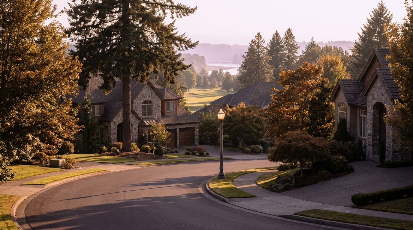
KentKing County CitiesKing County Neighborhoods July 11, 2026

Living in Panther Lake, Kent WA | 2026 Neighborhood Guide

Panther Lake sits in central Kent East Hill, built around the small lake that gives the neighborhood its name. It is a Wooded Sanctuary neighborhood, quiet and tucked away, even though it sits just a few minutes from the busier East Hill shopping corridors. Most homes here went up in the 1980s and 1990s, and a newer ring of townhomes sits closer to the water itself. If you want a real neighborhood feel built around a small water amenity, at a lower price than Lake Meridian, Panther Lake is where I start the search.

What is it actually like to live in Panther Lake in 2026?

Tuesday, 7:15 AM at Panther Lake. Mist still sits over the water while a few early walkers make their way around the trail loop before work. Garage doors open one after another on the streets ringing the lake, and traffic heading out toward 132nd Ave SE is steady but never backed up. This is not a neighborhood in a hurry. Kids wait for the bus near the elementary school, and the loudest sound most mornings is a woodpecker working one of the big firs along the shoreline.

Weekends slow down even more. Fishing poles come out near the small dock by the park entrance, and the trail sees a steady stream of dog walkers and stroller pushers most of Saturday morning. Families head a few minutes south to Lake Meridian Park when they want a real swim beach, but plenty of Panther Lake residents never leave the neighborhood at all. A short drive to the Fred Meyer or the East Hill Safeway covers most errands. Sunday afternoons mean yard work and driveway basketball.

Who lives here? A mix of young families moving up from a starter condo, longtime East Hill residents who bought specifically for the lake, and a smaller group of retirees in the older ranch homes closest to the water. What sets Panther Lake apart from the rest of East Hill is scale. It is small and self-contained, built around one shared amenity, instead of spreading across a big grid of subdivisions the way Kent East Hill does as a whole.

Walkers on the paved trail loop around Panther Lake in Kent, Washington
The trail loop around Panther Lake is the neighborhood’s daily gathering spot, used by walkers, runners, and anglers alike.

Homes in Panther Lake: What the Data Shows

Panther Lake’s housing stock is mostly 1980s and 1990s construction, single-level and two-story homes on modest East Hill lots. Sizes typically run 1,400 to 2,600 square feet on lots between 6,000 and 9,000 square feet. A newer ring of townhomes went up closer to the water in the 2010s, giving buyers a lower-maintenance option without leaving the lake behind. Homes directly on the water are rare and do not turn over often. When they do, they tend to sell fast. Most of the housing stock needs the usual checks for a neighborhood this age: roof, furnace, and water heater, since a lot of the original systems are approaching or past their expected life.

Market Pulse Panther Lake (Kent, 98031) King County
Median Sales Price (June 2026) ~$697,000 citywide ~$998,000
Median Days on Market ~12 days ~10 days
Active Listings Change (vs. Jan 2026) +95% +127%

Figures reflect Kent citywide residential data for June 2026, the most recent closed month in the NWMLS export. Panther Lake does not get isolated in the monthly pull, so treat the price row as a citywide reference point, not a Panther Lake-specific number.

Schools Serving Panther Lake

Panther Lake falls inside the Kent School District. Panther Lake Elementary sits right in the neighborhood and is the primary feeder for nearly every address here, feeding into Meridian Middle School and then Kentwood High School. As with anywhere in Kent, confirm your specific address with the district before writing an offer. Boundaries can shift block by block near the edges of any attendance zone.

Panther Lake Elementary runs a Gifted and Talented program alongside its standard track, and its small size, under 450 students, means a lower student-teacher ratio than a lot of the district. Meridian Middle layers on a Project Lead The Way engineering and design curriculum for students who want hands-on STEM work before high school. Kentwood High offers Advanced Placement coursework and its own Gifted and Talented track, with a graduation rate around 96 percent, well above the state average.

Elementary kids in Panther Lake mostly walk or take a short bus ride, since the school sits right inside the neighborhood boundary. Middle and high schoolers bus out, Meridian Middle a short ride north and Kentwood High a longer ride south into Covington, where the school is actually located even though it serves Kent addresses.

Getting to Work from Panther Lake

Panther Lake sits inland on the East Hill plateau, so you will drive or bus to reach the Sounder rather than walk to it like you can from downtown Kent. Take SE 208th Street west to 104th Ave SE, then head south to pick up SR-167, or catch King County Metro Route 914 straight to the Kent Sounder Station for the train into Seattle.

Destination Distance 2026 Drive Time (Peak AM) Transit Option
Downtown Seattle 26 miles 40 to 60 min Metro 914 to Sounder Train
Bellevue / Amazon 19 miles 35 to 50 min SR-167 to I-405
Microsoft (Redmond) 26 miles 42 to 58 min SR-167 to SR-520
SeaTac Airport 13 miles 20 to 30 min SR-167 / I-5

1980s single-level home exterior near Panther Lake in Kent, Washington
A typical 1980s single-level home on one of the streets ringing Panther Lake.

What I See as a Valuation Expert in Panther Lake

In Panther Lake, the roof and the original mechanical systems get the closest look for valuation. A big share of Panther Lake’s housing stock is now 30 to 40 years old, and I see furnaces and water heaters original to the house more often here than in East Hill’s newer pockets. Buyers who skip a full inspection on an older Panther Lake home are taking on real risk they cannot see from the curb.

HOA dues matter more here than in most of East Hill because of the newer townhomes ringing the lake. Those typically run $150 to $275 a month, covering exterior maintenance and shared landscaping. Older single-family homes on the streets further from the water carry no HOA at all, which is one reason buyers on a tighter budget gravitate toward those blocks first.

The streets closest to the water, with a real lake view or easy trail access, move first and pull a real premium. Updated homes on those blocks typically sell 6% to 10% above comparable homes two or three streets back with no lake proximity at all.

Frequently Asked Questions: Living in Panther Lake

Q: Is Panther Lake a good place to live?
A: Yes, especially for buyers who want a real neighborhood feel built around a small lake at a lower price point than Lake Meridian. Panther Lake blends established 1980s and 1990s homes with newer townhomes near the water, all inside the Kent School District.

Q: What are homes like in Panther Lake?
A: Mostly 1980s and 1990s single-family homes running 1,400 to 2,600 square feet, plus a newer ring of townhomes built in the 2010s closer to the lake. Homes directly on the water are rare and tend to sell fast when they come up.

Q: What schools serve Panther Lake?
A: Panther Lake falls in the Kent School District. Panther Lake Elementary feeds into Meridian Middle School, which feeds into Kentwood High School. Always confirm your exact address with the district.

Q: How far is Panther Lake from Seattle?
A: Panther Lake sits about 26 miles south of downtown Seattle. Driving takes 40 to 60 minutes at peak times, or you can catch King County Metro Route 914 down to the Kent Sounder Station and ride the train in.

Explore Panther Lake Yourself

Walk the loop trail around the lake before you decide. Grab coffee at the Starbucks near 208th and Benson, then swing back through on a Saturday morning to see the neighborhood at its most active. Panther Lake reads completely differently on the trail than it does from listing photos.

View Panther Lake on Google Maps →

Your guide to life outside Seattle.

Gregory Dorrell | Coldwell Banker Bain | WA License #111862
253-350-0045  ·
greg@livingoutsideseattle.com  ·
www.livingoutsideseattle.com
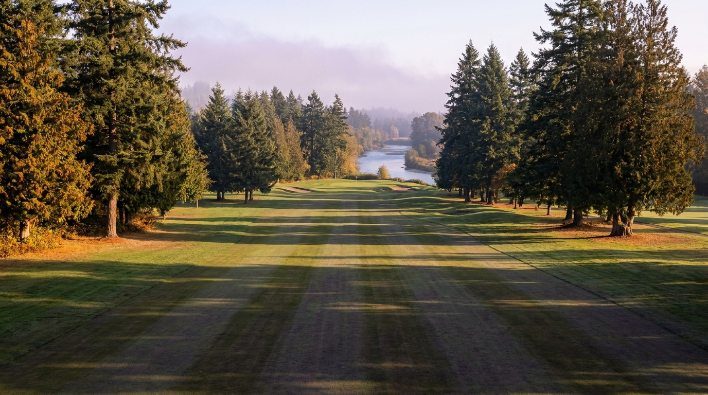
Buyer Resources July 11, 2026

Living in Lake Meridian, Kent WA | 2026 Guide

Lake Meridian is one of Kent’s premier addresses, wrapped around the swim lake of the same name in central-east Kent. It is a Family-First Established neighborhood, built for weekends at the beach and evenings on the water, not just a commute stop between work and home. Most homes here went up in the 1980s and 1990s, with larger newer construction filling in on the lots closest to the shoreline. If you want real lake access without an Eastside price tag, Lake Meridian is where I start almost every water-focused search in Kent.

What is it actually like to live in Lake Meridian in 2026?

Tuesday, 7:20 AM at Lake Meridian. Fog is still burning off the water while a few paddleboarders get an early start before the wind picks up. Cars ease out of driveways along the streets that ring the lake, and the short line at the coffee stand near Kent-Kangley Road is the closest thing to rush hour this neighborhood has. Kids gather at bus stops shaded by big cedars, and the whole street smells like cut grass most mornings in summer.

Weekends are where Lake Meridian really shows itself. The park fills up fast on a warm Saturday, families staking out spots on the beach by 10 AM, jet skis and small boats coming and going from the launch all afternoon. It is the kind of place where neighbors know each other because they are standing next to each other at the swim area every July. Sunday mornings slow back down to yard work, driveway basketball, and the occasional garage sale sign at the corner.

Who lives here? Established buyers who bought specifically for the lake and never left, move-up buyers trading a smaller East Hill house for more space and water access, and a growing number of buyers moving in from pricier parts of King County who cannot believe a lake lot costs what it does in Kent. What sets Lake Meridian apart from the rest of East Hill is the water itself. Most Kent neighborhoods sell a good school and a fair price. Lake Meridian sells a lifestyle built around one shared amenity that nothing else in the city can match.

Families at the swim beach and boat launch at Lake Meridian Park in Kent, Washington
Lake Meridian Park’s beach and boat launch are the neighborhood’s summer gathering spot, drawing residents from across East Hill.

Homes in Lake Meridian: What the Data Shows

Lake Meridian’s housing stock is mostly 1980s and 1990s construction, with a run of larger newer builds on the parcels closest to the water. Sizes typically run 1,800 to 3,400 square feet on lots between 7,000 and 12,000 square feet, and some of the waterfront parcels run bigger still. Homes directly on the lake or with private dock access are rare and carry a real premium when they come up. Away from the water, this is a solid, well-kept middle-to-upper-market pocket of East Hill, with pride of ownership that shows in the yards and the exteriors. Buyers should still budget for the usual age-related checks: roof, furnace, and water heater on anything built before the mid-1990s.

Market Pulse Lake Meridian (Kent, 98042) King County
Median Sales Price (June 2026) ~$697,000 citywide ~$998,000
Median Days on Market ~12 days ~10 days
Active Listings Change (vs. Jan 2026) +95% +127%

Figures reflect Kent citywide residential data for June 2026, the most recent closed month in the NWMLS export. Lake Meridian does not get isolated in the monthly pull, so treat the price row as a citywide reference point, not a Lake Meridian-specific number. Waterfront and near-water parcels sell well above this citywide median.

Schools Serving Lake Meridian

Lake Meridian falls inside the Kent School District. Meridian Elementary is the primary feeder for nearly every address in the neighborhood, feeding into Meridian Middle School and then Kentwood High School. As with anywhere in Kent, confirm your specific address with the district before writing an offer. Boundaries can shift block by block near the edges of any attendance zone.

Meridian Elementary runs a Gifted and Talented program and keeps a student-teacher ratio close to 15 to 1, a little tighter than the district average. Meridian Middle layers on a Project Lead The Way engineering and design curriculum for students who want hands-on STEM work before high school. Kentwood High offers Advanced Placement coursework and its own Gifted and Talented track, with a graduation rate around 96 percent and an average SAT score above 1200, both well above the state average.

Elementary kids in Lake Meridian mostly bus a short distance to Meridian Elementary, since it sits centrally in the East Hill zone. Middle schoolers bus to Meridian Middle nearby, and high schoolers take a longer ride south to Kentwood High, which is actually located in Covington even though it serves most of East Hill Kent.

Getting to Work from Lake Meridian

Lake Meridian sits inland on the East Hill plateau, so plan on driving or busing to reach the Sounder rather than walking to it like you can from downtown Kent. Take Kent-Kangley Road west to 104th Ave SE, then head south to pick up SR-167, or catch a King County Metro bus along 132nd Ave SE to the Kent Sounder Station for the train into Seattle.

Destination Distance 2026 Drive Time (Peak AM) Transit Option
Downtown Seattle 27 miles 40 to 60 min Metro Bus to Sounder Train
Bellevue / Amazon 20 miles 35 to 50 min SR-167 to I-405
Microsoft (Redmond) 27 miles 42 to 58 min SR-167 to SR-520
SeaTac Airport 14 miles 20 to 30 min SR-167 / I-5

1990s two-story home exterior near Lake Meridian in Kent, Washington
A typical 1990s two-story home on one of the streets near Lake Meridian.

What I See as a Valuation Expert in Lake Meridian

In Lake Meridian, water proximity drives more of the value swing than almost anything else in Kent. A home on the water, or with a private dock, gets appraised on a completely different curve than one three streets back with no lake access at all. Beyond that, the usual suspects matter: roof age, original mechanical systems, and any deferred maintenance on homes now pushing 30 to 40 years old.

HOA presence is inconsistent here. Some of the streets closest to the water carry a modest HOA covering shared dock or beach access, typically $100 to $200 a month, while other blocks have no HOA at all. Curb appeal and yard condition matter more in Lake Meridian than in a lot of Kent, since buyers touring this neighborhood are shopping for a lifestyle, not just a floor plan.

Waterfront and near-water parcels move first and pull the biggest premium I track anywhere in Kent. Updated lake-adjacent homes typically sell 15% to 25% above comparable homes two or three streets back with no water access at all, and true waterfront lots with dock rights push that gap even higher.

Frequently Asked Questions: Living in Lake Meridian

Q: Is Lake Meridian a good place to live?
A: Yes, especially if you want real lake access, a beach and boat launch, and strong Kent School District schools in one neighborhood. Lake Meridian is one of the most established and consistently in-demand pockets of East Hill Kent.

Q: What are homes like in Lake Meridian?
A: Mostly 1980s and 1990s construction running 1,800 to 3,400 square feet, with larger newer homes on the parcels closest to the water. Waterfront and near-water lots are rare and sell at a significant premium over the rest of the neighborhood.

Q: What schools serve Lake Meridian?
A: Lake Meridian falls in the Kent School District. Meridian Elementary feeds into Meridian Middle School, which feeds into Kentwood High School. Always confirm your exact address with the district.

Q: How far is Lake Meridian from Seattle?
A: Lake Meridian sits about 27 miles south of downtown Seattle. Driving takes 40 to 60 minutes at peak times, or you can catch a King County Metro bus to the Kent Sounder Station and ride the train in.

Explore Lake Meridian Yourself

Spend a Saturday at the park before you decide. Walk the beach, watch the boat launch traffic, and grab lunch nearby on Kent-Kangley Road. Lake Meridian reads completely differently in person on a warm summer weekend than it does from listing photos alone.

View Lake Meridian on Google Maps →

Your guide to life outside Seattle.

Gregory Dorrell | Coldwell Banker Bain | WA License #111862
253-350-0045  ·
greg@livingoutsideseattle.com  ·
www.livingoutsideseattle.com
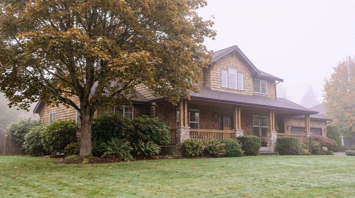
Buyer ResourcesKing County Market UpdateSeller Resources July 11, 2026

How Long Does It Take to Sell a Home in Auburn WA in 2026?

Auburn homes are sitting longer than they were a year ago. That’s the short answer. Here’s the real number, and what’s driving it.

Auburn’s Current Days on Market

Auburn’s median days on market is running around 35 days right now, well above King County’s overall median of 12 days. Homes that would’ve gone pending in under a week last spring are taking closer to a month in 2026.

That shift matters if you’re weighing whether to list now or wait. A slower DOM doesn’t mean the market’s broken. It means buyers have more to choose from, and they’re taking their time.

Why Auburn Is Slower Than It Was

Auburn’s entry-level price point makes it attractive to first-time buyers and relocating families. That same buyer pool is also the most sensitive to mortgage rates. When rates tick up, this is the price range that feels it first. Fewer buyers qualify at the same monthly payment, so homes that would’ve had three offers a couple years ago now get one. If they’re priced right.

Inventory has grown too. More sellers listing at once means more competition for buyer attention, which stretches days on market even without any real drop in demand. For the full picture on Auburn’s market this year, see my Living in Auburn guide.

None of this means Auburn is a bad place to sell. It means pricing and prep work matter more than they did two years ago, back when almost anything sold fast regardless of condition.

What This Means If You’re Selling in Auburn Right Now

A longer DOM changes your strategy a few ways. Price it right from day one. In a market where buyers have time to compare, an overpriced listing just sits, and buyers start assuming there’s something wrong with it.

Prep the home before you list, too. With less urgency pushing buyers to overlook flaws, condition and presentation carry more weight now than they did when everything sold in days no matter what shape it was in.

And budget for the process taking longer end to end. Plan on a few weeks on market, not a few days, when you’re mapping out your move timeline or your next purchase.

What This Means If You’re Buying in Auburn Right Now

For buyers, a longer DOM is good news. Room to negotiate. Time to get an inspection done properly. Less pressure to waive contingencies just to compete. Auburn’s still one of the more affordable entry points in King County, and a slower market hands you more leverage than you’d get in Renton or Bellevue right now.

Frequently Asked Questions

How long does it take to sell a house in Auburn WA in 2026?

Auburn’s median days on market has lengthened compared to last year, largely due to rate-sensitive entry-level buyers pulling back and more inventory coming onto the market. Correctly priced, well-prepared homes are still moving faster than the average. Overpriced homes are the ones sitting the longest.

Is Auburn WA a slow real estate market right now?

It’s slower than it was, not slow in absolute terms. Auburn remains an active entry-level market in King County. The shift is about buyers having more choices and taking more time to decide, not a lack of demand.

Should I wait to sell my Auburn home if the market has slowed down?

Not necessarily. A slower market rewards sellers who price accurately and prepare their home well before listing. Waiting for conditions to change doesn’t guarantee a better outcome, and holding costs add up in the meantime. A realistic pricing conversation is the better first step.

Thinking About Listing in Auburn?

I assess property values professionally every week across King County, Auburn included, so I know what’s moving fast right now and what’s sitting. Want a realistic read on your timeline and price? Happy to walk through it.

Your guide to life outside Seattle.

Gregory Dorrell |
Coldwell Banker Bain | WA License #111862
253-350-0045
· 
greg@livingoutsideseattle.com

·
www.livingoutsideseattle.com
KentReal Estate How ToSeller Resources July 9, 2026

What Is a Listing Agreement? Kent WA Sellers, Read This First

A listing agreement is the contract that gives an agent the legal right to sell your home. Sign it, and you’re locked in for a set period, usually 3 to 6 months. Happy or not.

Most first-time sellers in Kent sign this without reading past the signature line. That’s a mistake. Here’s what’s actually in it, and what to check before you sign.

What a Listing Agreement Actually Covers

It’s a binding contract between you and your real estate broker. It spells out the commission rate, how long the contract runs, who handles marketing, and what happens if the house doesn’t sell.

Most agents in King County use the “exclusive right to sell” version. If your house sells during the contract period, even if you found the buyer yourself, your agent still earns the commission. There’s another version, “exclusive agency,” where you can sell it yourself commission-free. Almost nobody uses that one anymore. Ask which type you’re signing.

The agreement also names a term. Standard in Kent right now is 3 to 6 months. Shorter terms give you an exit if things aren’t working. Longer terms give your agent more runway. They also lock you in longer if the relationship isn’t a fit.

The Commission Structure

Commission in King County typically runs 5% to 6% of the sale price, split between your listing agent and the buyer’s agent. On a Kent home at the median price of $687,000, that’s roughly $34,000 to $41,000 total. Split two ways.

That number is negotiable. Always has been. Don’t assume the first figure an agent quotes is fixed. Ask what’s included: professional photography, a staging consultation, a real marketing plan, or just an MLS listing and a sign in the yard.

What to Check Before You Sign

Check the term length first. If it’s 6 months and you’re not sure about the agent yet, ask for 3 with a review point. A good agent won’t push back hard on that.

Check the cancellation clause. Some agreements let you cancel anytime with written notice. Others lock you in with no exit unless the agent agrees to release you. Ask directly: if I’m not happy three weeks in, what’s my way out?

Look at the protection period clause too. Most agreements say that if a buyer your agent introduced during the listing buys the home within a set window after the contract ends, commission is still owed. Standard is 30 to 90 days. Make sure that number is reasonable and clearly defined.

And confirm the marketing plan is in writing, not just described out loud. Photography, video, open houses, where the listing gets syndicated. Spelled out. Not a vague promise.

Kent-Specific Considerations Right Now

Kent’s median days on market is running 12 days right now, the slowest of the seven cities I track. Not alarming. But it means pricing and marketing quality matter more here than in a faster-moving city like Renton. For a closer look at what’s driving Kent’s market this year, see Buying a Home in Kent WA 2026.

A softer entry-level price range means your listing agreement should include a real pricing strategy conversation up front. Not just a number the agent thinks will win your business. If a suggested list price sounds high compared to what similar Kent homes actually closed at in the last 60 days, ask to see the comps before you sign anything.

Frequently Asked Questions

Can I cancel a listing agreement early in Washington State?

It depends on the cancellation clause in your specific agreement. Some brokers allow written cancellation at any time. Others require mutual agreement to terminate early. Read this clause before signing, and if it’s not clear, ask your agent directly what your exit looks like if things aren’t working.

How long does a typical listing agreement last in King County?

Most listing agreements in Kent and the rest of King County run 3 to 6 months. Shorter terms give sellers more flexibility to switch agents if the listing isn’t performing. Longer terms give agents more time to market the property, especially in a slower-moving market like Kent’s current 12-day median DOM.

What’s the difference between exclusive right to sell and exclusive agency?

Exclusive right to sell means your agent earns commission no matter who finds the buyer, including you. Exclusive agency lets you sell the home yourself without paying a commission, while still allowing the agent to market it. The vast majority of King County listings use exclusive right to sell.

Thinking About Listing in Kent?

Before you sign anything, I’ll walk you through the agreement line by line and show you the actual comps behind any pricing recommendation. No pressure. Just a clear conversation.

Your guide to life outside Seattle.

Gregory Dorrell |
Coldwell Banker Bain | WA License #111862
253-350-0045
·

greg@livingoutsideseattle.com

·

www.livingoutsideseattle.com
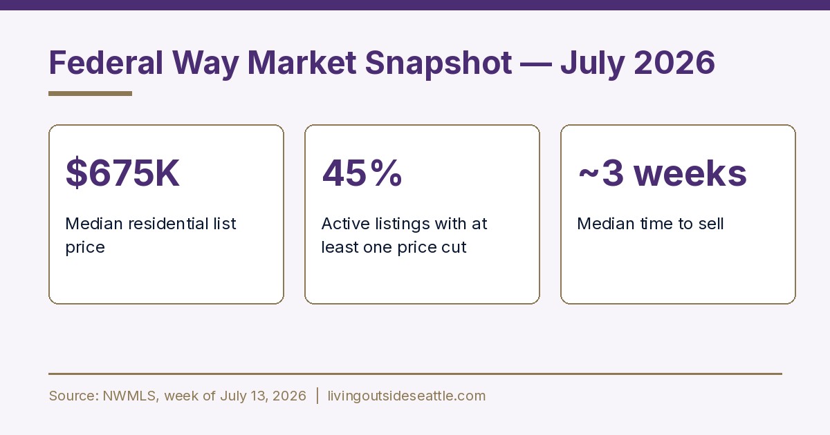
Gregory Dorrell is a licensed real estate broker (WA License #111862) with
Coldwell Banker Bain. This post is provided for informational purposes and does
not constitute legal advice.

KentKing County Neighborhoods July 9, 2026

Living in Downtown Kent, WA | 2026 Neighborhood Guide

Downtown Kent and the valley floor sit at the base of the East Hill and West Hill plateaus, right along the Green River. This is the most walkable, most urban part of the city, and it is also the most affordable place to buy in 2026. It is a Walkable Urban Edge neighborhood. Older craftsman and mid-century homes sit blocks from newer condos and townhomes near the transit center, and the whole area is built around the Kent Sounder Station. If your budget is tight and you want the shortest commute into Seattle, this is where I start most first-time buyers.

What is it actually like to live in Downtown Kent in 2026?

Tuesday, 7:30 AM near the Kent Sounder Station. Commuters walk in from the surrounding blocks with coffee in hand, timing their arrival to the platform down to the minute. A few cyclists roll past on their way to the Green River Trail before work. Downtown’s coffee shops are already busy, and the sidewalks here actually see foot traffic, which is rare in most of Kent. This is a neighborhood built around not needing a car for everything.

Weekends shift the energy. Kent Station, the outdoor shopping and entertainment center a few blocks from the historic core, pulls in families for the movie theater and restaurants. The farmers market runs seasonally on Saturdays in the historic downtown blocks. Runners and cyclists use the Green River Trail for miles at a stretch, connecting north toward Renton and south toward Auburn. It is a livelier, more social pace than the residential plateaus above.

Who lives here? A mix of first-time buyers priced out of East Hill or West Hill, renters converting to owners in the newer townhome developments near the transit center, and long-time residents in the older craftsman homes closer to the historic district. What separates downtown from the rest of Kent is density and walkability. You can live here without driving every day, which is not true anywhere else in the city.

Cyclists and walkers on the Green River Trail through downtown Kent, Washington
The Green River Trail runs straight through downtown Kent, connecting residents to miles of walking and biking without a car.

Homes in Downtown Kent: What the Data Shows

Downtown Kent has the oldest and most varied housing stock in the city. Older craftsman and mid-century homes from the 1920s through the 1960s sit closest to the historic core, typically running 1,000 to 1,800 square feet on smaller in-town lots. Closer to the transit center, newer condo and townhome developments from the 2010s and 2020s fill in the gaps, offering lower-maintenance options for buyers who want walkability without yard work. Prices here are the lowest in Kent, often the entry point for buyers who cannot compete on East Hill or Lake Meridian. It is not a polished neighborhood everywhere, but the value and the transit access are real.

Market Pulse Downtown Kent King County
Median Sales Price (June 2026) ~$697,000 citywide (downtown typically below) ~$998,000
Median Days on Market ~12 days ~10 days
Active Listings Change (vs. Jan 2026) +95% +127%

Figures reflect Kent citywide residential data for June 2026, the most recent closed month in the NWMLS export. Downtown Kent does not get isolated in the monthly pull, and this sub-area consistently prices below the citywide median, so treat the price row as a ceiling reference, not the downtown-specific number.

Schools Serving Downtown Kent

Downtown Kent and the valley floor fall inside the Kent School District, with Kent Elementary as the primary feeder for most in-town addresses. Kent Elementary feeds into Mill Creek Middle School, which then feeds into Kent-Meridian High School. As with every part of Kent, confirm your exact address with the district before writing an offer. Boundaries near the valley floor can shift closer to the river.

Kent Elementary offers a Gifted and Talented program alongside its standard track. Mill Creek Middle layers on a Project Lead The Way engineering and design curriculum for students who want hands-on STEM exposure before high school. Kent-Meridian High offers Advanced Placement coursework, International Baccalaureate options, and its own Project Lead The Way pathway, giving families a real choice in academic direction once kids reach high school.

Day to day, most downtown elementary kids walk or take a short bus ride, since the neighborhood’s grid layout and sidewalks make walking more practical here than almost anywhere else in Kent. Middle and high schoolers typically bus to Mill Creek and Kent-Meridian, both a short ride from most downtown addresses.

Getting to Work from Downtown Kent

Downtown Kent has the best transit access in the city, and it is not close. Walk to the Kent Sounder Station for a direct train into Seattle, or catch a Sound Transit express bus from the same transit center. If you drive, SR-167 runs along the east edge of downtown and connects north to Renton and south to Auburn, with I-5 a short drive west.

Destination Distance 2026 Drive Time (Peak AM) Transit Option
Downtown Seattle 23 miles 35 to 55 min Sounder Train (walk to station)
Bellevue / Amazon 17 miles 30 to 45 min SR-167 to I-405
Microsoft (Redmond) 24 miles 40 to 55 min SR-167 to SR-520
SeaTac Airport 10 miles 15 to 20 min SR-167 / I-5

1930s craftsman home exterior near historic downtown Kent, Washington
A restored craftsman home near the historic downtown core, typical of Kent’s older in-town housing stock.

What I See as a Valuation Expert in Downtown Kent

In Downtown Kent, the foundation and the electrical panel get the closest look for valuation. A lot of downtown Kent’s housing stock predates 1960, and older knob-and-tube wiring or an outdated panel shows up often enough that I flag it on nearly every craftsman-era listing I review. Buyers who skip an electrical inspection here are taking on real risk they cannot see from the curb.

Flood zone status matters more downtown than anywhere else in Kent. Parts of the valley floor near the Green River sit in FEMA-designated flood zones, and flood insurance can add real cost to a monthly payment. I check this for every downtown client before we write an offer, because it changes the true cost of ownership by a meaningful amount. Newer townhome and condo developments near the transit center generally sit outside the flood zone and carry HOA fees instead, typically $200 to $350 a month depending on amenities.

The streets closest to Kent Station and the Sounder platform move fastest right now, especially updated craftsman homes and newer townhomes within a five-minute walk of the train. Buyers are paying a real premium for that walk-to-transit convenience, something that barely existed as a pricing factor five years ago.

Frequently Asked Questions: Living in Downtown Kent

Q: Is downtown Kent a good place to live?
A: Yes, especially for buyers who want the lowest entry price in the city and the best transit access. Downtown Kent is the most walkable part of the city, built around the Sounder station and Kent Station shopping district.

Q: What are homes like in downtown Kent?
A: A mix of older craftsman and mid-century homes from the 1920s through the 1960s, typically 1,000 to 1,800 square feet, alongside newer condos and townhomes near the transit center built in the 2010s and 2020s.

Q: What schools serve downtown Kent?
A: Downtown Kent falls in the Kent School District. Kent Elementary feeds into Mill Creek Middle School, which feeds into Kent-Meridian High School. Always confirm your exact address with the district.

Q: How far is downtown Kent from Seattle?
A: Downtown Kent sits about 23 miles south of downtown Seattle. The Sounder commuter train, which you can walk to from most downtown addresses, covers that distance in roughly 35 to 55 minutes.

Explore Downtown Kent Yourself

Spend a Saturday walking downtown Kent before you decide. Grab coffee near the historic core, walk a stretch of the Green River Trail, then swing through Kent Station to see the transit access up close. The neighborhood reads completely differently on foot than it does from a listing photo.

View Downtown Kent on Google Maps →

Your guide to life outside Seattle.

Gregory Dorrell | Coldwell Banker Bain | WA License #111862
253-350-0045  ·
greg@livingoutsideseattle.com  ·
www.livingoutsideseattle.com
Buyer Resources July 8, 2026

Living in Kent West Hill, WA | 2026 Neighborhood Guide

Kent’s West Hill sits above the valley floor on the west side of the city, close enough to SeaTac and Des Moines that some days it feels like its own small town. The vibe here is Quiet Cul-de-Sac Community. Streets wind with the hillside instead of running in a grid, and most homes date back to the 1960s, built when this was one of the first areas outside the valley to develop. Buyers come here for the price. West Hill is one of the more affordable hillside neighborhoods left in King County, and in 2026 that still matters to people trying to buy their first home.

What is it actually like to live in Kent’s West Hill in 2026?

On a Tuesday morning around 7:30, West Hill is quiet in a way that feels older than the rest of Kent. The streets curve and dip with the terrain, so you rarely see more than a few houses at once. Garage doors open one at a time, cars ease down the hill toward Military Road, and most people are gone by 7:45. It is a shorter commute than East Hill, mostly because West Hill sits closer to the freeway and the light rail.

Weekends move slower. Saturday mornings bring families to West Fenwick Park for playground time, and Glenn Nelson Park fills up with pickleball games and kids on the shaded walking path. Some residents head down to Lake Fenwick for a quiet trail walk under the trees. Sunday is yard work and a stop at one of the small international markets in West Hill Plaza, since the neighborhood has a genuinely diverse mix of longtime residents and newer arrivals from all over the world.

Who lives here? A lot of first-time buyers priced out of Seattle, Burien, and the Eastside, along with longtime owners who bought their ranch homes decades ago and never left. West Hill has more rental turnover than East Hill, and the housing stock skews older and smaller. What sets it apart is the terrain and the price. You get real elevation and territorial glimpses toward the valley, at a price still noticeably lower than most of the rest of Kent.

West Fenwick Park playground and open field near West Hill, Washington
West Fenwick Park is a weekend gathering spot for West Hill families.

Homes in West Hill: What the Data Shows

West Hill’s housing stock is some of the oldest in Kent. The core of the neighborhood was built in the 1960s, mostly ranch-style and split-level homes on winding hillside streets, typically 1,100 to 1,900 square feet on modest lots. A handful of newer pockets exist too. The Riverview area has two-story single-family homes and condos built in the 1980s through 2000s in developments like The Terrace and River Ridge, plus gated communities such as The Pointe and The Meadows. There is also a small multifamily presence, including Westridge Townhomes from the mid-1980s. This is a more varied housing stock than East Hill’s, both in age and price, and that variety is a big part of why West Hill stays affordable.

Market Pulse West Hill (98032) King County
Median Sales Price (June 2026) ~$697,000 ~$998,000
Median Days on Market (June 2026) ~12 days ~10 days
Months Supply of Inventory (June 2026) 3.3 months 3.6 months

Figures are King County NWMLS-sourced data for June 2026, shown at the city level for Kent and county level for King County, since West Hill-specific figures are not broken out in the monthly feed. Treat this as a starting point, not an appraisal for any specific West Hill address.

Schools Serving West Hill

West Hill has its own feeder pipeline, different from East Hill’s. The neighborhood elementary school is River Ridge Elementary, opened in 2021 to relieve overcrowding at nearby schools. River Ridge is part of the Kent School District, though its official mailing address lists SeaTac, since West Hill sits right at the edge of the two cities. That is a mailing quirk, not a district change. From River Ridge, students move on to Meeker Middle School, also a Kent School District school despite carrying a Renton address for the same border-area reason. High schoolers head to Kent-Meridian High School, the district’s oldest and most centrally located campus. Always confirm your specific address with Kent School District before assuming, since boundary lines here have shifted more recently than in most of the district.

River Ridge Elementary is a newer building with modern classrooms, built to reduce crowding on the west side of the district. Meeker Middle School runs a Gifted and Talented program alongside Project Lead The Way, the same hands-on STEM curriculum offered at several other Kent schools. Kent-Meridian High School is the district’s founding high school, with a long-running athletics program and career and technical electives some of the newer Kent high schools do not offer.

Day to day, most West Hill elementary and middle schoolers are bused, since the hillside streets and lack of sidewalks in older sections make walking less practical than in flatter neighborhoods. High schoolers driving themselves to Kent-Meridian typically face a 10 to 15 minute drive down off the hill.

Getting to Work from West Hill

Take Military Road or Reith Road down off the hill to reach SR-99, then connect to I-5 north or south depending on your destination. West Hill’s biggest advantage over East Hill is the Kent Des Moines light rail station, just a short drive from most of the neighborhood, which puts a fast, traffic-free ride into downtown Seattle within reach without ever touching the freeway.

Destination Distance 2026 Drive Time (Peak AM) Transit Option
Downtown Seattle 20 miles 30 to 45 min Link Light Rail from Kent Des Moines
Bellevue / Amazon 21 miles 35 to 50 min I-5 to I-405
Microsoft (Redmond) 28 miles 45 to 60 min I-5 to SR-520
SeaTac Airport 6 miles 10 to 18 min SR-99 or Link Light Rail

1960s ranch-style home exterior typical of West Hill, Washington
A classic 1960s ranch home, the most common style in West Hill’s older core.

What I See as a Valuation Expert in West Hill

In West Hill, the age of the systems is the first thing that matters most for valuation. A lot of West Hill’s housing stock is now 60 years old, which means original plumbing, outdated electrical panels, and single-pane windows show up more often than on East Hill. None of that is a dealbreaker. It just means the price has to account for it, and buyers who skip a full inspection here are taking a real risk.

Lot size runs smaller on average than East Hill, and a lot of the older ranch homes sit without much usable yard because of the sloped terrain. HOA presence is spotty. Some newer Riverview developments like The Pointe and The Meadows have HOAs, while most of the 1960s core does not. Curb appeal and an updated kitchen matter more here than square footage, since buyers touring West Hill are often comparing it directly to similarly priced homes in Burien or Des Moines.

Homes closest to the light rail station and the flatter streets near West Hill Plaza tend to move first, especially with commuters who want to walk or bike to the train. Homes on the steepest hillside streets, or ones needing obvious system updates, sit longer and need to be priced with that in mind.

Explore West Hill Yourself

View West Hill on Google Maps →

Q: Is West Hill in Kent a good place to live?
A: For buyers who want an affordable entry point with light rail access and don’t mind an older housing stock, yes. It is one of the more budget-friendly hillside neighborhoods left in King County.

Q: What are homes like in West Hill?
A: Mostly 1960s ranch and split-level homes, 1,100 to 1,900 square feet, with a smaller share of newer 1980s through 2000s homes, condos, and townhomes in developments like Riverview.

Q: What schools serve West Hill?
A: Kent School District, typically River Ridge Elementary feeding into Meeker Middle School and then Kent-Meridian High School, though boundaries vary by address and should always be verified.

Q: How far is West Hill from Seattle?
A: About 20 miles, with a 30 to 45 minute peak commute, or faster by taking the Kent Des Moines light rail station straight into the city.

Your guide to life outside Seattle.

Gregory Dorrell | Coldwell Banker Bain | WA License #111862
253-350-0045  ·
greg@livingoutsideseattle.com  ·
www.livingoutsideseattle.com
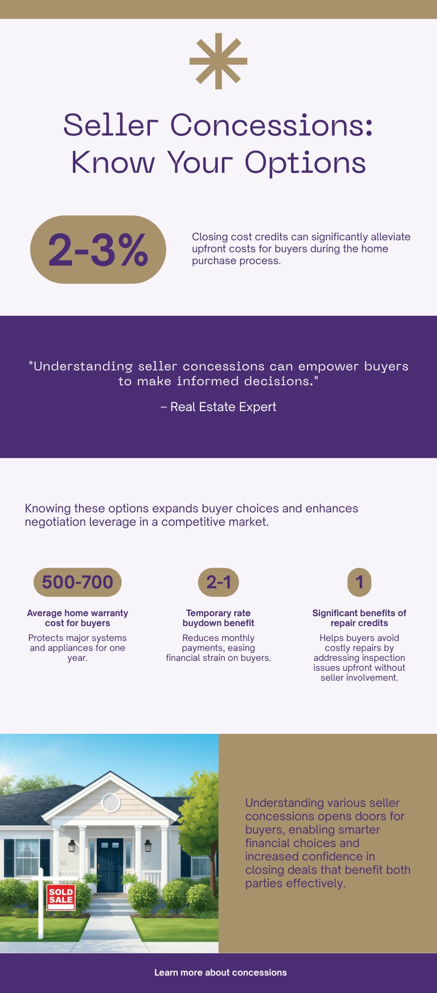
Buyer Resources July 7, 2026

Living in Kent East Hill, WA | 2026 Neighborhood Guide

If you are looking at Kent East Hill in 2026, you are looking at the neighborhood most Kent families end up in once they run the numbers. It sits on the plateau above the valley floor, which means better views and quieter streets than you get down near the industrial corridor. The vibe here is Family-First Established. Subdivisions from the 1980s, 90s, and 2000s sit next to newer infill, and almost every block has a mix of long-time owners and young buyers who just closed. Buyers come here for the same three reasons every time: good schools, real parks, and a price that still works.

What is it actually like to live in Kent East Hill in 2026?

On a Tuesday morning around 7:30, East Hill sounds like sprinklers and garage doors. Parents load kids into minivans headed to Meridian or Panther Lake Elementary, and you will see a steady line of cars merging onto 132nd Ave SE toward the freeway. It is not a rush. It is a routine. Most people here have their morning down to a science, coffee in hand, radio on, out the door by the same minute every day.

Weekends look different. Saturday mornings mean youth soccer and baseball at the fields near Kentwood High, and Lake Meridian fills up fast once the sun is out, with kids paddleboarding and dads grilling at the picnic shelters. Sunday is yard work, a trip to the East Hill Fred Meyer, and maybe a walk on the trail loop through Clark Lake Park a few minutes north. It is not a flashy neighborhood. It is a functional one, and that is exactly the point for the people who live here.

Who lives here? Mostly working families, a lot of them in healthcare, aerospace, logistics, or tech support roles based in Kent, Renton, or south Seattle. You will also find retirees who bought in the 1980s and never left, and a growing number of first-generation homeowners priced out of Renton or the Eastside. What separates East Hill from West Hill or the valley floor is elevation, both literal and in home condition. Fewer rentals, bigger lots on average, and a school pipeline families specifically move here to get into.

Lake Meridian Park shoreline and trail near Kent East Hill, Washington
Lake Meridian Park is the recreational anchor for East Hill families.

Homes in Kent East Hill: What the Data Shows

East Hill’s housing stock spans four decades. The oldest pockets date to the late 1970s and early 80s, with a heavy wave of construction through the 90s and into the 2000s, plus scattered newer infill on the last available lots. Most detached homes run 1,600 to 3,200 square feet on lots between 5,000 and 9,000 square feet, though a handful of larger custom builds near Lake Meridian sit on bigger parcels. You will see a mix of split-level, two-story traditional, and daylight-basement layouts that take advantage of the plateau’s gentle slope. Builders like Quadrant and Polygon put up several of the larger 1990s and 2000s subdivisions, and quality is generally solid, though older homes need the usual roof, furnace, and window checks. Townhomes and a handful of small condo clusters exist near 104th Ave SE, but this is overwhelmingly a single-family, detached-home neighborhood.

Market Pulse Kent East Hill (98042) King County
Median Sales Price ~$700,000 ~$859,000
Median Days on Market ~35 days ~28 days
Active Listings Change (vs. Jan 2026) +25% +30%

Figures reflect King County NWMLS-sourced data as of mid-2026 and East Hill’s 98042 ZIP code. Individual streets and school assignments can shift these numbers, so treat this as a starting point, not an appraisal.

Schools Serving Kent East Hill

Kent East Hill sits inside the Kent School District, and the standard elementary feeders are Meridian, Lake Youngs, and Panther Lake, though boundaries shift block by block. Both Meridian and Panther Lake feed into Meridian Middle School, which then feeds into Kentwood High School. Kentwood’s building address is technically in Covington, just south of the East Hill boundary, but it is the district high school most East Hill families are zoned into. Always confirm your specific address with the district before assuming, since Kent School District has redrawn elementary lines more than once in the past few years.

Meridian Elementary runs a Gifted and Talented program and has a solid academic reputation within the district. Meridian Middle School layers on Project Lead The Way, a hands-on STEM curriculum that gets kids working with engineering and design concepts before high school. Kentwood High offers AP coursework and has earned multiple College Success Awards in recent years for how well it prepares graduates for college, with a graduation rate around 96%.

Day to day, most East Hill elementary kids are bused or driven a short distance, since the neighborhood’s terrain and arterial layout make walking to school less common than in denser areas. Middle schoolers typically ride the district bus to Meridian Middle. High schoolers either drive themselves, carpool, or take the bus down to Kentwood, which for most East Hill addresses is a 10 to 15 minute ride.

Getting to Work from Kent East Hill

Take 132nd Ave SE or 104th Ave SE down off the plateau to reach SR-516, then connect to SR-167 north toward Renton and I-405, or south toward Auburn. If you are headed into Seattle, most East Hill residents drive down to the Kent Sounder Station or the Kent Park-and-Ride for Sound Transit express bus service, both roughly 10 to 15 minutes away depending on which part of East Hill you are in.

Destination Distance 2026 Drive Time (Peak AM) Transit Option
Downtown Seattle 27 miles 45 to 65 min Sounder Train / I-5
Bellevue / Amazon 19 miles 30 to 45 min SR-167 to I-405
Microsoft (Redmond) 26 miles 40 to 55 min SR-167 to SR-520
SeaTac Airport 13 miles 18 to 28 min SR-167 to I-5

Two-story 1990s home exterior typical of Kent East Hill, Washington
A typical two-story East Hill home from the neighborhood’s 1990s and 2000s building wave.

What I See as a Valuation Expert in Kent East Hill

In East Hill, the roof, the furnace, and the windows are the first three things that matter most for valuation. East Hill’s housing stock is old enough now that a lot of original systems are at or past their service life. A 1985 roof on a home that has never been re-shingled tells me the seller either has not budgeted for it or is hoping the buyer will not notice. Buyers should ask for the roof’s install date on every showing.

Lot size and orientation matter more here than in newer subdivisions elsewhere in Kent, because East Hill lots vary widely, from tight 5,000 square foot parcels to nearly 9,000 square feet with real yard space. HOA-governed pockets exist but are not universal, and where they do exist they are usually low-fee and low-friction. Curb appeal swings value more on East Hill than in the valley, since buyers touring this area are often cross-shopping with Covington and Maple Valley and expect a certain look.

The streets and pockets closest to Lake Meridian Park move first and hold value best. Homes on quiet interior streets with larger lots and updated kitchens are the ones that get multiple looks in the first weekend. Anything backing to 104th Ave SE or facing heavy through-traffic tends to sit longer and needs to be priced accordingly.

Explore Kent East Hill Yourself

View Kent East Hill on Google Maps →

Q: Is Kent East Hill a good place to live?
A: If you want established schools, a real park system, and a price point under the King County median, yes. It is a practical, family-first neighborhood rather than a trendy one.

Q: What are homes like in Kent East Hill?
A: Mostly detached single-family homes from the 1980s through 2000s, running 1,600 to 3,200 square feet on lots between 5,000 and 9,000 square feet, with a mix of split-level and two-story layouts.

Q: What schools serve Kent East Hill?
A: Kent School District, typically Meridian, Lake Youngs, or Panther Lake Elementary feeding into Meridian Middle School and then Kentwood High School, though boundaries vary by address.

Q: How far is Kent East Hill from Seattle?
A: About 27 miles, with a 45 to 65 minute peak commute by car, or a shorter ride if you drive to the Kent Sounder Station and take the train in.

Your guide to life outside Seattle.

Gregory Dorrell | Coldwell Banker Bain | WA License #111862
253-350-0045  ·
greg@livingoutsideseattle.com  ·
www.livingoutsideseattle.com
Real Estate How ToRentonSeller Resources July 7, 2026

This Guide Has Moved

This article has been folded into our maintained guide: How to Prepare Your Home for Sale in King County. You are being taken there now.

EastsideKing County CitiesSammamishUncategorized July 7, 2026

Plateau Communities, Sammamish WA | 2026 Guide

When people say they’re looking at Sammamish, they’re often looking at what falls under the “Plateau Communities” umbrella — the mix of established and more recently developed neighborhoods across the city’s interior plateau that don’t have the specific defining feature of a lake view, a golf course, or a ridgeline. This is the broadest category in Sammamish real estate and also the most varied. Price ranges here span from the mid-$800s for original ranch-style homes to over $1.5M for newer construction on larger lots. Schools are split between Issaquah School District and Lake Washington School District depending on your address — and that split is not intuitive from a map. If you’re buying in this part of Sammamish, the address-level school verification is mandatory.

What is it actually like to live in Plateau Communities in 2026?

The plateau interior is Sammamish’s most family-oriented environment. The city’s extensive trail network — 45-plus miles at last count — connects most plateau neighborhoods to parks, open space, and ultimately to the East Lake Sammamish Trail along the water. Kids ride bikes to friends’ houses on connected paths. The parks are maintained well and used heavily on weekends. The pace here is genuinely suburban in the best sense — quiet streets, neighbors who know each other, schools that feed consistent cohorts of families from the same neighborhoods.

The variation within this category is significant. Original Sammamish homes from the 1970s through early 1990s tend toward ranch and split-level styles on larger lots with mature trees — they’re often the entry point into Sammamish homeownership, and buyers who move into them typically update over time. Communities built in the late 1990s through 2010s have more contemporary designs on smaller lots but newer infrastructure. Communities built in the 2010s and 2020s are the most turnkey but also the most densely sited. The decade of construction tells a lot of the story about what to expect.

Who lives here? The full demographic range of Sammamish. First-time buyers, growing families, established households who moved here for the schools and stayed for the community. Tech workers from Microsoft, Amazon, and the broader Bellevue-Redmond corridor who want the Sammamish quality of life without a lake view premium. Parents who researched school districts before they chose a neighborhood and made a deliberate district-driven decision about their address.

Wide paved community trail curving through open park space in an established Sammamish Washington plateau neighborhood with ornamental trees in autumn color, mature Douglas fir at the forest edge, and Cascade foothills softly visible in the background
Sammamish maintains over 45 miles of city trails connecting plateau neighborhoods to parks, open space, and the East Lake Sammamish Trail along the water. For residents in plateau interior neighborhoods, the trail network is the primary recreational infrastructure — and it’s genuinely well used.

Homes in Plateau Communities: What the Data Shows

The price range within this category is the widest in Sammamish. Original stock from the 1970s and 1980s on larger lots can come in under $1M. Quality production homes from the 2000s on standard lots typically trade in the $1M to $1.35M range. Newer communities with contemporary designs and higher finish levels start around $1.35M and move up from there. What drives the variation: decade of construction, lot size, update level, school district, and proximity to parks and trails. At any price point, the same variables apply — the numbers just shift.

Metric Plateau Communities (98074 / 98075) King County
Median Sales Price (May 2026) ~$1,075,000 ~$859,000
Median Days on Market ~26 days ~28 days
Active Listings Change (vs. Jan 2026) +28% +30%

Plateau interior communities span a wide price range depending on age, lot size, school district, and update level. The median shown reflects the broad middle of this category. Verify current inventory with a licensed REALTOR.

This is the section that matters most for families buying in the plateau interior. Sammamish is split between Issaquah School District and Lake Washington School District, and the boundary does not follow logical geographic lines. Two homes on the same block can feed into different districts. This is not a detail to check after you’ve found a home you want — it’s a filter to apply before you start touring.

Issaquah School District (ISD) — Most of South and Central Sammamish

Most plateau interior addresses feed into one of the following Issaquah SD pipelines. The most common for central and south Sammamish:

Pipeline A: Sunny Hills Elementary → Pine Lake Middle → Skyline High

Pipeline B: Endeavour Elementary → Pine Lake Middle → Skyline High

Lake Washington School District (LWSD) — North Sammamish and Parts of Central Plateau

Northern plateau addresses and some central Sammamish addresses feed into Lake Washington SD instead of Issaquah. The most common LWSD pipeline in Sammamish:

Pipeline: Alcott Elementary → Inglewood Middle → Eastlake High

⚠ Always Verify Your Specific Address

Do not rely on a general neighborhood description or a map to determine your school district. Use the official district boundary lookup tools before writing an offer. Both ISD and LWSD provide free address lookup on their websites.

Getting to Work from Plateau Communities

Commute times from the plateau interior are reasonably consistent across most addresses because Sammamish’s road network funnels traffic to a limited number of exits from the plateau — primarily NE 8th Street toward I-90, and Redmond-Fall City Road toward Redmond and SR-520. Most plateau communities are within 5 to 10 minutes of one of these two main corridors. What varies is whether you hit the same bottleneck points as the rest of Sammamish at peak hours, which you do.

Destination Distance 2026 Drive (Peak AM) Route
Downtown Seattle 23 miles 35 to 55 min I-90 West
Bellevue / Amazon 14 miles 20 to 35 min I-90 / I-405
Microsoft (Redmond) 10 miles 15 to 28 min Redmond-Fall City Rd / 2 Line
SeaTac Airport 27 miles 38 to 55 min I-90 / I-405 / I-5
Quality two-story craftsman Pacific Northwest home exterior in an established Sammamish Washington plateau neighborhood with well-maintained siding, covered front entry, mature evergreen foundation plantings, and generous lot with HOA-maintained streetscape
The plateau interior contains homes from multiple eras — original ranches and split-levels on larger lots, quality production builds from the 1990s and 2000s, and newer construction from the 2010s and 2020s. The decade of construction tells a lot of the story about what to expect in terms of lot size, finishes, and maintenance cycle.

What I See as a Valuation Expert in Plateau Communities

Plateau interior is where I spend the most time doing appraisal and BPO work in Sammamish because the comp pool is deepest here. The broad range of home ages and styles means I can find meaningful data for almost any subject property, but it also means that context matters enormously. A 1985 ranch on a 12,000 square foot lot and a 2008 two-story on an 8,000 square foot lot are not interchangeable comps even if their list prices overlap. I’m always building a custom story for each property rather than running a simple bracket adjustment.

The variables that matter most within the plateau interior: school district assignment (ISD vs. LWSD is a genuine price differential — buyers pay to be in one district over the other depending on their family’s priorities), proximity to the trail network and parks, lot size relative to neighborhood norms, and update level. Kitchen and bath updates still move the needle meaningfully here. A home with a current kitchen in the $950K-$1.2M range will see significantly faster sale time and stronger offers than a comparable footprint with a 2003 original kitchen.

Valuation Insight

“School district assignment is worth real money in the plateau interior — I’ve tracked the ISD vs. LWSD differential at $40,000 to $80,000 on comparable properties at similar price points, depending on which district the buyer’s family is targeting. Confirm the district before you fall in love with the house.”

10-Year Lens

The plateau interior has the deepest, most liquid market in Sammamish. It will continue to attract the broadest buyer demographic — families for the schools, tech workers for the commute, move-up buyers for the lot sizes — which provides strong demand support across market cycles. The biggest medium-term driver here is the City of Sammamish’s ongoing trail and park investments, which have consistently improved the livability argument for interior neighborhoods.

Honest counter-risk: Traffic congestion remains Sammamish’s most cited negative. Plateau Road and NE 8th Street are the main arteries and they are not getting less busy. If your household depends on consistent early-morning commutes, build in actual test-drive time before deciding on a specific address.

Frequently Asked Questions About Plateau Communities

Q: How do I know which school district I’m in?
A: Use the address lookup tool on the Issaquah School District website (issaquah.wednet.edu) and the Lake Washington School District website (lwsd.org). Do this for every address you’re seriously considering before writing an offer — district boundaries in Sammamish are not intuitive.

Q: What’s the price range for plateau interior homes?
A: Wide — from the mid-$800s for original 1970s-1980s ranches on large lots to over $1.5M for newer construction with updated finishes. The median for this category is approximately $1.075M as of mid-2026, but the meaningful number is the specific tier you’re buying in, not the broad average.

Q: Is the school district assignment worth paying a premium for?
A: For families with school-age children who have done their district research, yes — I’ve tracked the ISD vs. LWSD premium at $40,000 to $80,000 on comparable properties. Which district carries the premium depends on which one the buyer is targeting. Both are strong districts.

Q: What are the biggest value drivers within plateau interior neighborhoods?
A: School district, lot size, trail and park access, and update level. In that order for most buyer profiles. A well-updated kitchen and bath will move you to the top of the market for your tier. Deferred maintenance and dated finishes will keep you sitting.

Explore Plateau Communities Yourself

The Sammamish trail system is the best starting point for understanding the plateau interior. Download the city trail map from the City of Sammamish website and plan a drive or walk through the neighborhoods you’re considering. The difference between a neighborhood with direct trail access and one that requires driving to a trailhead is noticeable in daily life.

Bigger Picture

Want the full Sammamish story?

Compare neighborhoods, commute times, school districts, and what’s driving the 2026 market.

Read the Full 2026 Sammamish Living Guide →

Your guide to life outside Seattle.

Gregory Dorrell | Coldwell Banker Bain | WA License #111862
253-350-0045 · greg@livingoutsideseattle.com · www.livingoutsideseattle.com
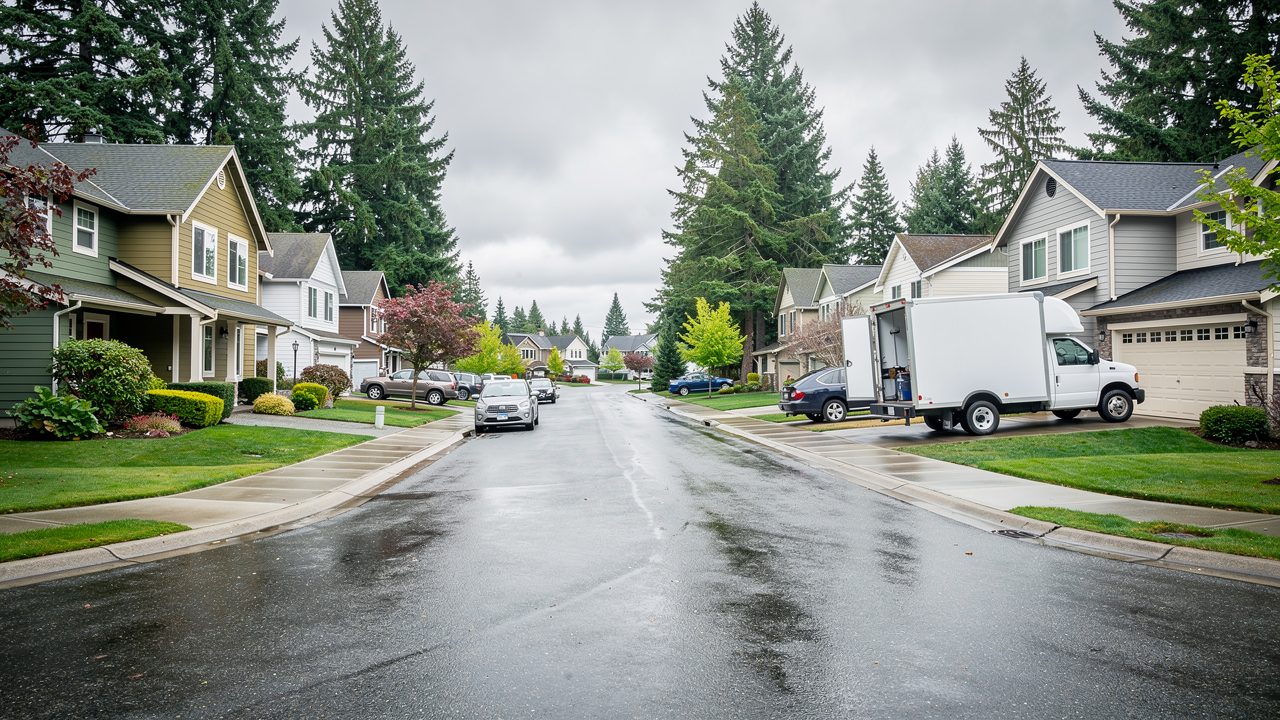
Buyer Resources July 5, 2026

Sammamish Neighborhood Guide: Best Areas by Budget 2026

You’ve already picked Sammamish. Now you need to pick a piece of it.

That’s harder than it sounds. Sammamish isn’t one neighborhood, it’s six or seven distinct ones stitched together on the plateau east of Lake Sammamish, and they don’t feel the same, cost the same, or send your kids to the same school district.

If you’re moving to King County from out of state and Sammamish is your target city, this guide breaks down the real differences between Klahanie, Trossachs, Pine Lake, Tally Ho/Inglewood Hill, the East Lake Sammamish Parkway corridor, and Beaver Lake. By the end, you should know which one fits your budget and your life.

Klahanie: The Entry Point With the Most House for Your Money

Klahanie sits on the southern edge of Sammamish and it’s the biggest neighborhood in the city, with more than 3,000 homes. It was built mostly in the 1990s, so you’re looking at classic Pacific Northwest suburban construction: two-story homes, decent-sized lots, mature trees that actually block your neighbor’s view instead of just decorating the yard.

Median price here runs around $1.29M, which sounds like a lot until you compare it to the rest of Sammamish. This is where a family coming from a lower cost-of-living market gets the most square footage and lot size for the dollar in this city.

So what does that mean for you? If your budget tops out in the low-to-mid $1M range and you still want to say you live in Sammamish, Klahanie is where that math works. It’s also the neighborhood with the most built-in community infrastructure: parks, trails, and a private community club with pools and sport courts that a lot of families factor into the decision.

Klahanie falls in the Issaquah School District. If school assignment is a top priority, that matters, because half of Sammamish doesn’t feed Issaquah schools at all. More on that split below.

If Klahanie’s the entry point, worth a direct comparison against a step-up option nearby: see the full Aldarra neighborhood guide for a look at Sammamish’s golf-course community at a higher price point.

Trossachs: Scenic, School-Focused, and Slightly Quieter

Trossachs sits on the northeastern edge of the city, another 1990s-era community, and it’s the neighborhood I hear described most often as “the quiet one.” It’s smaller than Klahanie, more residential in feel, with parks woven through the streets rather than concentrated in one spot.

Families choose Trossachs specifically for school access. It’s zoned into the Issaquah School District, and it consistently draws relocating families who did their research on school ratings before they did research on the neighborhood itself. That’s backwards in my opinion, but it’s common, and it tells you something about how seriously buyers here take the schools question.

Price-wise, Trossachs sits in the middle of the Sammamish range, generally above Klahanie and below Pine Lake, though inventory is thin enough that a single listing can skew the numbers in a given month. If you’re relocating and school district certainty matters more than shaving costs, Trossachs is worth a serious look before you widen your search.

Quiet residential street in Trossachs neighborhood, Sammamish WA

Trossachs is one of four Sammamish neighborhoods zoned into the Issaquah School District.

Pine Lake: Established, Central, and Priced Like It

Pine Lake is centrally located and it’s one of the older, more established parts of Sammamish, with homes built mostly between 1970 and 2010. That range matters. It means you’ll find a mix of dated ranch-style homes that need work sitting next to fully remodeled or rebuilt properties, sometimes on the same block.

Median price in Pine Lake runs around $1.86M, making it one of the more expensive neighborhoods in the city outside the immediate lakefront. Buyers pay for the location: central access to shopping, the Pine Lake community itself, and a long track record of strong resale value.

Here’s the honest field note. When I do BPOs in Pine Lake, the spread between the best-maintained homes and the ones that need real work is wider than in newer neighborhoods like Klahanie or Trossachs. If you’re buying here, budget time and money for updates, or be very specific with your agent about wanting a turnkey property, because the older housing stock varies a lot more than the median price suggests.

Tally Ho and Inglewood Hill: Northern Sammamish, Lake Washington Schools

Tally Ho and Inglewood Hill sit in the northern part of the city, and this is where the school district conversation flips. This area, along with neighborhoods like Sahalee, Heritage Hills, Timberline, and The Villages, feeds into the Lake Washington School District rather than Issaquah, with Eastlake High School serving as the primary comprehensive high school for this part of Sammamish. For a deeper look at this side of the city, see the Tally Ho / Inglewood Hill neighborhood guide and the Sahalee neighborhood guide, both zoned into Lake Washington schools.

Lake Washington School District is ranked among the top districts in the state, right alongside Issaquah. So this isn’t a case of one side being the school-quality winner. It’s a case of two strong districts serving different halves of the same city, and you need to know which side of the line a specific address sits on before you fall in love with it.

Inglewood Hill in particular tends to draw buyers who want proximity to Redmond. The commute to the Microsoft campus from this part of Sammamish runs roughly 15 to 25 minutes, noticeably shorter than the drive from the southern neighborhoods, which matters if one household earner is commuting daily to the Eastside tech corridor.

East Lake Sammamish Parkway Corridor: The Lake Life Premium

This is the corridor that hugs the eastern shore of Lake Sammamish, and it’s where buyers pay directly for water. Homes here range from older two-story properties to full rebuilds, and lot sizes tend to be generous enough for gardens, play space, or just room to breathe.

This is also the most expensive stretch in our guide. West Lake Sammamish properties with direct water access carry a median around $2.67M, and even non-waterfront homes along the parkway trade at a real premium over the rest of the city. The area also connects directly to the 11-mile East Lake Sammamish Trail and Lake Sammamish State Park, so you’re paying for recreation access as much as the water view itself.

So what’s the “so what” here? If your budget realistically starts above $2M and lake access or lake proximity is non-negotiable, this corridor is where you concentrate your search. Below that number, you’re better served looking at Pine Lake or Trossachs, where you get strong Sammamish fundamentals without competing for waterfront inventory. For pricing and lot detail specific to this stretch, see the East Lake Sammamish Parkway neighborhood guide.

Beaver Lake: Natural Setting, Steady Demand

Beaver Lake, sometimes called Beaver Lake Estates, sits toward the established, older end of the age range, built mostly between 1970 and 2010, similar to Pine Lake. What sets it apart is direct proximity to Beaver Lake itself, which gives the neighborhood a quieter, more natural feel than the denser parts of the plateau.

This neighborhood is zoned into the Issaquah School District along with Klahanie, Trossachs, and Pine Lake, which puts the entire southern half of Sammamish, from Beaver Lake down through Klahanie, on one school system, while the northern neighborhoods run through Lake Washington schools.

Demand in Beaver Lake tends to be steady rather than explosive. It doesn’t get the bidding-war attention that lakefront parkway homes do, but it also doesn’t sit on the market long, because buyers who want established trees, a slower pace, and still-strong schools keep circling back to it.

The Local Angle: Making Sense of the School District Split

This is the piece that trips up almost every relocating family, so it gets its own section. Sammamish is not entirely in one school district. The dividing line runs roughly along SE 8th Street.

South of that line, you’re in the Issaquah School District: Klahanie, Trossachs, Pine Lake, and Beaver Lake all fall here. North of the line, you’re in Lake Washington School District: Sahalee, Heritage Hills, Inglewood Hill, Timberline, The Villages, Summer Ridge, Vintage, and Tally Ho.

Both districts rank in the top five in Washington state, so this isn’t a story about one side losing out academically. It’s a practical logistics issue. Your kids’ specific elementary, middle, and high school assignment depends on the exact address, not the city name on the listing. Before you get attached to a house, confirm the district and the specific school using the district’s official boundary lookup tool, because boundary lines inside a single neighborhood can occasionally split blocks.

What This Means for You

If you’re relocating to King County and Sammamish is the city you’ve settled on, work backward from two numbers: your real budget ceiling and how much weight school assignment carries in your decision.

Under $1.4M, Klahanie is where your money stretches furthest, with strong Issaquah School District access and the most built-in community amenities. Between $1.5M and $1.9M, Trossachs and Pine Lake both work, with Trossachs leaning more toward newer construction and Pine Lake leaning more central but with more variable housing condition. If Lake Washington School District specifically is your target, look north to Inglewood Hill or Tally Ho, and factor in the shorter Redmond commute as a bonus. Above $2M, especially if lake access matters to your family’s lifestyle, the East Lake Sammamish Parkway corridor is where your search should concentrate.

Whatever budget you land in, get a school boundary confirmation and a recent BPO-level valuation on any specific address before you make an offer. A city-wide median tells you almost nothing about what a particular street is actually worth.

FAQ

Which Sammamish neighborhood is the most affordable?

Klahanie is generally the most accessible entry point in the city, with a median price around $1.29M, well below the citywide median of roughly $1.6M.

Is Sammamish in the Issaquah School District or Lake Washington School District?

Both. Sammamish splits roughly along SE 8th Street. South of that line (Klahanie, Trossachs, Pine Lake, Beaver Lake) is Issaquah School District. North of it (Sahalee, Inglewood Hill, Tally Ho, Timberline) is Lake Washington School District.

What’s the commute like from Sammamish to Microsoft or Amazon?

Redmond (Microsoft) runs about 15 to 25 minutes from northern Sammamish neighborhoods like Inglewood Hill, and 20 to 35 minutes from the southern plateau. Bellevue and Seattle-based commutes take longer and are more car-dependent, since Sammamish has limited transit infrastructure.

Which Sammamish neighborhood has the best lake access?

The East Lake Sammamish Parkway corridor and West Lake Sammamish offer the most direct water access, with West Lake Sammamish median prices running around $2.67M for waterfront and near-waterfront properties.

Is Pine Lake or Trossachs better for a family relocating to Sammamish?

Both are strong, Issaquah School District options. Trossachs tends to have more consistent 1990s-era construction, while Pine Lake’s older housing stock (1970 to 2010) varies more in condition, so budget extra due diligence time if you’re considering Pine Lake.

Family walking the East Lake Sammamish Trail near Lake Sammamish, Sammamish WA

The East Lake Sammamish Trail runs 11 miles and connects directly to Lake Sammamish State Park.

Six neighborhoods, two school districts, and a price range that spans over a million dollars inside one city limit. That’s a lot to sort through from out of state, and it’s exactly the kind of decision where a local field perspective saves you from guessing.

I do pricing analysis in these neighborhoods every week as part of my BPO work, which means I’m not working from a stale market report when I tell you what a specific street is actually worth. If you’re relocating and trying to figure out which Sammamish neighborhood fits your budget and your family, reach out and let’s talk specifics.

Your guide to life outside Seattle.

Gregory Dorrell | Coldwell Banker Bain | WA License #111862
253-350-0045  ·
greg@livingoutsideseattle.com  ·
www.livingoutsideseattle.com
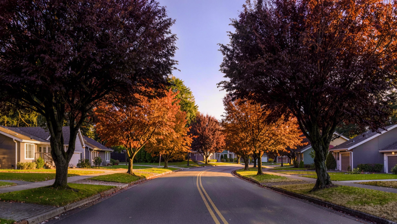
King County NeighborhoodsSammamish July 5, 2026

Living in Aldarra, Sammamish WA | 2026 Guide

Aldarra is one of Sammamish’s most intentionally designed neighborhoods. Built out mostly in the 2000s, it was planned from the start to balance generous lot sizes with meaningful community open space — and that planning shows. The neighborhood has a cohesive feel that many Sammamish communities lack, with maintained green space woven between the homes rather than tucked away as an afterthought. If you’re looking for an upscale Sammamish address where the community design was taken seriously, Aldarra is on the short list to consider.

What is it actually like to live in Aldarra in 2026?

Aldarra has a quieter, more established character than neighborhoods that were still building out in the late 2010s. The lots are large by Sammamish standards — many run 10,000 to 15,000 square feet — and the homes were built with the kind of setbacks and landscaping buffers that give the streetscape a sense of scale. Morning walks through the community trail network feel genuinely unhurried because the paths wind through maintained open space rather than cutting along property lines.

The HOA in Aldarra is active and the community shows it. Common areas are well maintained. The trail network is kept in good condition. This is not an HOA that exists only on paper — residents cite the consistent maintenance standards as a significant part of why they chose Aldarra over comparable neighborhoods. That consistency also supports property values because buyers entering the community see immediately that the environment has been cared for.

Who lives in Aldarra? The buyer profile skews toward established families and move-up buyers who have already lived on the Sammamish plateau or the Eastside and know exactly what they want in a second or third home purchase. Tech executives, senior professionals, and buyers relocating from Bellevue neighborhoods who want more lot size and a quieter pace without giving up the Eastside location. It’s a deliberate choice, not a starter neighborhood.

Wide paved community trail winding through open maintained green space in Aldarra neighborhood Sammamish Washington with ornamental trees in autumn color and mature Douglas fir at the forest edge
Aldarra’s trail network threads through community open space rather than running along property fences. The maintained green space is a planned feature of the original community design, not an add-on — and a significant part of what buyers pay for here.

Homes in Aldarra: What the Data Shows

Homes in Aldarra were built primarily between 2000 and 2010, with most running between 3,000 and 5,000 square feet. These are not custom homes in the Sahalee sense — many were built by quality production builders on individual lots — but the construction standards are above the Sammamish average and the lot sizes provide a sense of space that is noticeably different from denser plateau neighborhoods. The community has reached a phase where the original landscaping has matured, which adds to both the aesthetic quality and the actual property values.

Metric Aldarra (98075) King County
Median Sales Price (May 2026) ~$1,525,000 ~$859,000
Median Days on Market ~28 days ~28 days
Active Listings Change (vs. Jan 2026) +22% +30%

Aldarra trades at a significant premium over the King County median, supported by lot size, build quality, community design, and the Issaquah School District pipeline. Verify current inventory with a licensed REALTOR.

Search Active Aldarra Listings

Updated daily from the MLS. No account required.

Schools Serving Aldarra

Aldarra feeds into Issaquah School District. Most addresses run through Sunny Hills Elementary, Pine Lake Middle School, and Skyline High School. This is a consistent Issaquah SD pipeline that runs across several established Sammamish neighborhoods and is one of the reasons buyers prioritize the south and central plateau areas when school district matters. Skyline High School is one of the larger ISD high schools with a strong college prep track and a broad course catalog. At Aldarra’s price point, buyers will typically be comparing ISD favorably with Bellevue and Lake Washington districts — the outcomes and resources are competitive.

Verify the Schools Yourself

Always verify your specific address with Issaquah School District before writing an offer.

Getting to Work from Aldarra

Aldarra sits in the south-central portion of Sammamish, with the best route to Bellevue and Seattle running via SE 8th Street to Issaquah-Hobart Road, then connecting to I-90 or SR-900. For Microsoft’s Redmond campus, the most direct path goes north through Sammamish and out via Redmond-Fall City Road. The commute times from Aldarra are representative of the broader south Sammamish experience — competitive for Bellevue and Issaquah, slightly longer for downtown Seattle.

Destination Distance 2026 Drive (Peak AM) Route
Downtown Seattle 25 miles 40 to 58 min I-90 West
Bellevue / Amazon 15 miles 22 to 38 min I-90 / I-405
Microsoft (Redmond) 12 miles 18 to 30 min Redmond-Fall City Rd / 2 Line
SeaTac Airport 28 miles 40 to 55 min I-90 / I-405 / I-5
Large custom Pacific Northwest luxury home exterior in Aldarra neighborhood Sammamish Washington with upscale 2000s construction, high-quality stone veneer and cedar details, three-car garage, and mature evergreen landscaping on a generous lot
Aldarra homes were built mostly between 2000 and 2010, with generous lot sizes and construction quality that sits above the Sammamish average. The original landscaping has now matured, adding to the neighborhood’s established character.

What I See as a Valuation Expert in Aldarra

Aldarra is one of the most consistently valued Sammamish neighborhoods I work in. The comp pool is deep enough to support clean appraisals, the community’s cohesive design keeps the environmental quality stable, and the buyer demographic is experienced enough that the market here tends to be less speculative than some of the plateau’s more recently developed areas. When I’m pricing a listing in Aldarra, I’m not hunting for outlier comps — I can find meaningful data points consistently.

What moves the needle within Aldarra: lot size and position relative to the community open space and trail network are the biggest premium drivers. A home that backs directly onto maintained open space — no rear neighbor, trail access out the back gate — will consistently command a premium over a comparable home on a standard interior lot. I’ve tracked that premium at $75,000 to $125,000 depending on the depth and quality of the open space exposure. The other major driver is update quality. Aldarra buyers are comparing against new construction alternatives in nearby communities and they expect kitchens and baths to be current. Homes with dated finishes from the original build sit longer and negotiate more than the market average.

Valuation Insight

“Aldarra lots that back directly onto community open space sell for $75,000 to $125,000 above comparable interior lots on the same street. That open-space adjacency is permanent and can’t be built out — it’s the one Aldarra variable I’d pay a premium for without hesitation.”

10-Year Lens

Aldarra’s fundamentals are strong for the medium and long term. The Issaquah SD pipeline, the community design quality, the large lots, and the location between Bellevue and Issaquah all support continued demand. As the plateau’s newer communities develop and mature, Aldarra’s established character will be more, not less, valuable to the buyer segment it serves.

Honest counter-risk: Homes built in 2000–2010 are entering the window where mechanical systems — HVAC, roofing, windows, water heaters — are approaching or at end of useful life. At Aldarra’s price point, buyers expect everything to be current. Pre-listing inspections and proactive replacement of aging systems will generate better outcomes than hoping buyers don’t flag them in their own inspection.

Frequently Asked Questions About Aldarra

Q: What makes Aldarra different from other Sammamish neighborhoods?
A: The planned community design — specifically the integrated open space and trail network — distinguishes it from most Sammamish HOA neighborhoods. The green space was designed in from the start, not added afterward, and the HOA actively maintains it. Combined with larger-than-average lots and 2000s build quality, it creates a noticeably different environment.

Q: What schools serve Aldarra?
A: Issaquah School District. Most addresses feed into Sunny Hills Elementary, Pine Lake Middle School, and Skyline High School. Verify your specific address with the district before writing an offer.

Q: What are home prices like in Aldarra?
A: Median sale price runs around $1.525M as of mid-2026. Open-space-backing lots command premiums of $75,000 to $125,000 over comparable interior lots.

Q: Does Aldarra have trail access to East Lake Sammamish Trail?
A: The community trail network connects to access points that link to the East Lake Sammamish Trail, giving residents a path to the 11-mile lakeside route without driving. This is one of the neighborhood’s genuine lifestyle advantages.

Explore Aldarra Yourself

The best way to understand Aldarra is to walk the interior trail network on a weekday morning. The open space design, the mature landscaping, and the pace of the community will tell you quickly whether this is the right fit for what you’re looking for.

Bigger Picture

Want the full Sammamish story?

Compare neighborhoods, commute times, school districts, and what’s driving the 2026 market.

Read the Full 2026 Sammamish Living Guide →

Your guide to life outside Seattle.

Gregory Dorrell | Coldwell Banker Bain | WA License #111862
253-350-0045 · greg@livingoutsideseattle.com · www.livingoutsideseattle.com
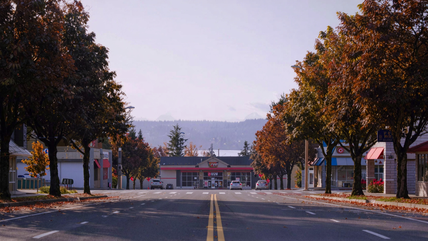
EastsideKing County CitiesSammamish July 4, 2026

Living in Sahalee, Sammamish WA | 2026 Guide

Sahalee is the only neighborhood in Sammamish built around a world-class golf course. Sahalee Country Club has hosted the PGA Championship, the US Senior Open, and multiple WGC events. That’s not the reason people live here — the golf course is a private club with its own membership structure separate from living in the community — but it shapes the entire character of the neighborhood. The course’s old-growth Douglas fir and western red cedar create a natural environment that is simply not found in any other Sammamish neighborhood. Homes here are custom-built, larger than the Sammamish average, and priced accordingly. This is the highest-end address on the plateau.

What is it actually like to live in Sahalee in 2026?

Sahalee is a gated community, and it has the privacy that comes with that structure. The roads inside are calm. The lots are generous. There’s no through traffic because there’s nowhere to go through to. Most homes here were custom-designed and built between the late 1990s and mid-2000s, and the quality of construction is notably higher than the standard Sammamish HOA neighborhood. You’re looking at stone, real wood, serious architectural detail, and homes that were built to a standard, not to a price point.

The Sahalee Country Club membership is a separate transaction from buying a home here. Not every resident is a member, though many are. The course’s old-growth tree canopy surrounds much of the community and creates a forest environment unlike anything else in Sammamish. You’re essentially living in a forest neighborhood that happens to have a championship golf course threaded through it. On weekend mornings, the community paths are quiet, the trees are dense, and the contrast with the busier plateau neighborhoods is immediate.

Who lives here? Senior tech executives and partners who have moved up from Bellevue or Kirkland neighborhoods. Buyers who specifically want the gated privacy and custom construction quality that Sahalee’s lot sizes and build standards deliver. Golf club members who chose their neighborhood to match their recreational life. It skews toward established buyers — people who have done the plateau research and decided this is the address they want.

Manicured fairway at Sahalee Country Club in Sammamish, Washington with towering old-growth Douglas fir and western red cedar forming a natural forest cathedral around the golf hole
Sahalee Country Club has hosted the PGA Championship and multiple WGC events. The old-growth Douglas fir corridor surrounding the course defines the neighborhood’s environment — there is no comparable tree canopy anywhere else in Sammamish.

Homes in Sahalee: What the Data Shows

Sahalee homes are custom builds on large lots, most constructed between 1998 and 2007. Square footage typically runs from 3,200 to over 6,000 square feet. These are not production homes — they were designed individually, built with higher-than-standard material quality, and sited to work with the course environment. The number of homes within the community is limited by design, which keeps supply constrained and supports value even in softer broader markets. When Sahalee homes sell, they take longer on average than the Sammamish median because the buyer pool is smaller and more deliberate. That’s a feature, not a problem.

Metric Sahalee (98074) King County
Median Sales Price (May 2026) ~$2,100,000 ~$859,000
Median Days on Market ~45 days ~28 days
Active Listings Change (vs. Jan 2026) +15% +30%

Sahalee’s limited inventory and constrained supply keep prices well above Sammamish averages. Course-adjacent and course-view lots command the strongest premiums. Verify current inventory with a licensed REALTOR.

Search Active Sahalee Listings

Updated daily from the MLS. No account required.

Schools Serving Sahalee

Sahalee feeds into Issaquah School District. Most addresses in the community go through Sunny Hills Elementary, Pine Lake Middle School, and Skyline High School. This is the same strong Issaquah pipeline that serves Trossachs and several other established Sammamish neighborhoods. Skyline High School is one of the larger Issaquah District high schools with a broad course catalog and strong college placement. For buyers at Sahalee’s price point who are comparing schools across Eastside districts, Issaquah SD competes very favorably with Bellevue and Lake Washington districts on academic outcomes.

Verify the Schools Yourself

Always verify your specific address with Issaquah School District before writing an offer.

Getting to Work from Sahalee

Sahalee sits in the north-central part of Sammamish, which gives it reasonable access to multiple route options. NE 228th Street connects west to Redmond-Fall City Road for the Microsoft Redmond campus — one of the shorter commutes in the Sammamish market. For Seattle and Bellevue, the drive goes south to NE 8th Street and connects to the plateau’s main arteries west toward I-90 or north toward SR-520. At Sahalee’s price point, most buyers are evaluating private or hybrid commute patterns, but the infrastructure supports any standard route.

Destination Distance 2026 Drive (Peak AM) Transit Option
Downtown Seattle 22 miles 38 to 55 min I-90 West / SR-520 West
Bellevue / Amazon 14 miles 20 to 35 min SR-520 / I-405
Microsoft (Redmond) 8 miles 14 to 22 min Redmond-Fall City Rd / 2 Line
SeaTac Airport 29 miles 40 to 60 min I-90 / I-405 / I-5
Custom Pacific Northwest luxury home exterior in the Sahalee gated community of Sammamish, Washington with high-quality stone and cedar details, mature evergreen landscaping, and upscale streetscape
Sahalee homes are custom-designed and individually built, most dating to 1998 through 2007. The construction quality here is materially above the Sammamish standard — stone, real cedar, serious architectural detail, and generous lot sizes throughout.

What I See as a Valuation Expert in Sahalee

Sahalee is one of the most defensible value positions in Sammamish and among the most complex to appraise. The comparable sales pool is small, the price range wide within the community, and the subject-specific variables — lot position relative to the course, view exposure, build quality — are enormous. I approach every Sahalee assignment expecting that no two properties will trade on the same logic. A course-adjacent lot with a fairway view and a fully updated interior operates in a completely different price tier than a back-of-community lot with a standard build quality, even at the same square footage.

What holds value consistently here: course adjacency, the tree canopy environment, and homes that have had thoughtful updates that match the original construction quality. The buyers at this price point are not easily impressed by standard renovation packages — they’re comparing against custom construction options in Bellevue and Kirkland. Sahalee homes that have been maintained and updated at a level that matches their original quality compete well. Homes that have been partially updated with builder-grade finishes in a custom-build shell are actually harder to sell here than in lower-priced Sammamish neighborhoods.

Valuation Insight

“Sahalee’s limited inventory is one of its best long-term value arguments. You can’t build another Sahalee — the course footprint, the old-growth trees, and the gated community infrastructure are fixed assets that no new Sammamish development can replicate.”

10-Year Lens

Sahalee’s value will continue to be anchored by scarcity and the permanence of its defining assets. The golf course, the old-growth forest corridor, and the gated privacy are not replicable. As Sammamish’s plateau builds out and neighborhood character becomes more homogeneous elsewhere, Sahalee becomes more distinct, not less. Well-maintained properties here should see strong demand from established buyers who have already moved through the broader Eastside market and are looking for the definitive address.

Honest counter-risk: The custom build age (late 1990s to mid-2000s) means mechanicals and systems are approaching major replacement cycles on many homes. At Sahalee’s price point, buyers expect everything to be at the highest standard — deferred maintenance here is more expensive to correct than anywhere else in Sammamish.

Frequently Asked Questions About Sahalee

Q: Do you have to be a Sahalee Country Club member to live there?
A: No. Club membership is a separate transaction from buying a home in the community. Many residents are members and many are not. Living within the gates does not guarantee or require club access.

Q: What schools serve Sahalee?
A: Issaquah School District. Most addresses feed into Sunny Hills Elementary, Pine Lake Middle School, and Skyline High School. Verify your specific address with the district before writing an offer.

Q: What are home prices like in Sahalee?
A: Median sale price runs around $2.1M as of mid-2026. Course-adjacent and course-view properties command a meaningful premium above the community median. Homes tend to take longer to sell here because the buyer pool is smaller and more deliberate.

Q: Is Sahalee gated?
A: Yes. Sahalee is a gated community with controlled access. This contributes significantly to the privacy and quiet character that distinguishes it from other Sammamish neighborhoods.

Explore Sahalee Yourself

The best way to understand the Sahalee environment is to drive NE 228th Street along the course perimeter on a clear morning and see the old-growth tree corridor firsthand. You’ll understand immediately why this is a different category of Sammamish neighborhood.

Bigger Picture

Want the full Sammamish story?

Compare neighborhoods, commute times, school districts, and what’s driving the 2026 market.

Read the Full 2026 Sammamish Living Guide →

Your guide to life outside Seattle.

Gregory Dorrell | Coldwell Banker Bain | WA License #111862
253-350-0045 · greg@livingoutsideseattle.com · www.livingoutsideseattle.com
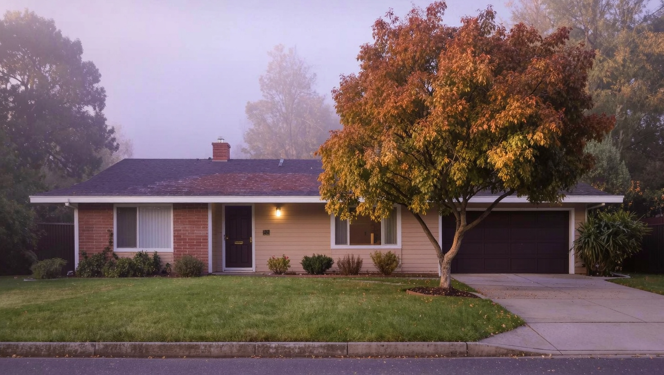
EastsideKing County CitiesSammamish July 1, 2026

East Lake Sammamish Parkway, Sammamish WA | 2026

East Lake Sammamish Parkway is a different kind of Sammamish address. Most of the city sits up on the plateau interior, away from the water. The Parkway runs along the eastern shoreline of Lake Sammamish itself, and the homes here — on the hillside above the road — sit in a position that the rest of Sammamish simply cannot offer: direct proximity to a 2,600-acre lake, the East Lake Sammamish Trail running right along the water’s edge, and the kind of views that make people who didn’t know this corridor existed kick themselves for not looking sooner. This is Issaquah School District territory, and the price point reflects everything the location delivers.

What is it actually like to live on East Lake Sammamish Parkway in 2026?

Morning on the Parkway has a specific quality to it. You can walk or cycle down to the trail before most of Sammamish has left the house. The trail runs flat along the water and connects north toward Redmond and south toward Issaquah — for cycling commuters, it’s an actual route to work, not just a recreational loop. Kayakers launch from access points along the shore. On summer mornings the lake picks up early, and by 8 AM there are already paddlers out on the water. This is a lifestyle that plateau interior neighborhoods approximate with parks and paths. The Parkway delivers the actual thing.

The homes sit on the hillside above the road, many at elevations that give them lake views across the water. The lots are generally larger than plateau interior Sammamish, and the construction runs from the 1980s through mid-2000s — a wide range, which means the market here has both older homes that require significant investment and updated homes that compete directly with new construction on lifestyle appeal. The neighborhood character is quieter and more private than the busier plateau communities; the Parkway road itself handles through traffic, but the residential streets are calm.

Buyers who end up here are often people who looked at the plateau interior, did the numbers, and decided the lake proximity was worth the premium. Tech workers from Microsoft and Amazon who run or cycle the trail before work. Buyers who want to raise kids next to a functioning outdoor environment rather than a managed park. Move-up buyers from Seattle and Bellevue who want the definitive Eastside outdoor lifestyle address.

Paved East Lake Sammamish Trail running along the eastern shoreline of Lake Sammamish in Washington with calm lake water to the left and dense Pacific Northwest forest to the right
The East Lake Sammamish Trail runs 11 miles along the lake’s eastern shoreline, accessible directly from the Parkway corridor. For residents here, it’s not a destination — it’s the front door.

Homes on East Lake Sammamish Parkway: What the Data Shows

The housing stock along the Parkway corridor is the most varied in Sammamish by age and type. You have 1980s ranch-style homes that have been fully renovated sitting next to 2000s custom builds that were designed specifically to capture lake views. Lot sizes run larger than most Sammamish neighborhoods, often a half acre or more. The price range is correspondingly wide — entry-level Parkway properties with limited lake exposure start lower than comparable plateau homes, while lake-view properties with updated interiors are among the highest-priced single-family homes in Sammamish overall.

Metric ELSP Corridor (98074 / 98075) King County
Median Sales Price (May 2026) ~$1,350,000 ~$859,000
Median Days on Market ~28 days ~28 days
Active Listings Change (vs. Jan 2026) +22% +30%

Price range on the Parkway is wide — lake-view properties with updated interiors trade well above the median. Verify current inventory with a licensed REALTOR.

Search Active East Lake Sammamish Parkway Listings

Updated daily from the MLS. No account required.

Schools Serving East Lake Sammamish Parkway

The Parkway corridor feeds into Issaquah School District. Most addresses along this stretch go through Beaver Lake Elementary, Pine Lake Middle School, and Skyline High School — the same strong pipeline that serves the Pine Lake neighborhood directly above. For the northern end of the Parkway closer to Redmond, some addresses may shift to different boundary assignments, so always verify your specific address with Issaquah School District before writing an offer.

Issaquah School District is consistently one of the highest-performing districts in Washington state. Skyline High School has a strong college readiness record and a broad AP course selection. For families comparing the Parkway to other Eastside lake-adjacent neighborhoods in different districts, the Issaquah assignment is a genuine advantage — you’re getting strong schools alongside the premium lake address.

Verify the Schools Yourself

Always verify your specific address with Issaquah School District before writing an offer. Boundary assignments on the northern end of the Parkway may vary.

Getting to Work from East Lake Sammamish Parkway

The Parkway runs north-south along the lake, with connections up to the plateau interior at several points. For Seattle commuters, the drive goes up to the plateau and then west to I-90 — adding a few minutes versus plateau interior neighborhoods, but very manageable in the right direction. For Redmond and Microsoft workers, the northern end of the Parkway connects directly to Redmond-Fall City Road and then west to campus — this is one of the better Sammamish locations for the Redmond commute. Bellevue is accessible via Redmond and SR-520 or via I-90 through Issaquah. For cyclists, the East Lake Sammamish Trail runs all the way to Redmond and connects to the broader trail network.

Destination Distance 2026 Drive (Peak AM) Transit / Alt Option
Downtown Seattle 22 miles 38 to 55 min I-90 West / ST 554
Bellevue / Amazon 14 miles 20 to 35 min SR-520 or I-90 / I-405
Microsoft (Redmond) 9 miles 14 to 24 min Redmond-Fall City Rd / Trail
SeaTac Airport 28 miles 38 to 55 min I-90 / I-405 / I-5

Quality late 1990s to 2000s Pacific Northwest home exterior on East Lake Sammamish Parkway in Sammamish Washington with mature landscaping and hillside siting that implies lake views
Homes on East Lake Sammamish Parkway range from updated 1980s ranches to custom 2000s builds. The elevated hillside siting is consistent — properties here sit above the trail and road, which is what creates lake view potential on many lots.

What I See as a Valuation Expert on East Lake Sammamish Parkway

The Parkway is one of the most complex valuation assignments in my Sammamish work, and I mean that in a good way. The price spread here is wider than anywhere else in the city. A well-updated home with genuine unobstructed lake views can trade at $400,000 to $600,000 above a comparable-square-footage home 200 feet away without lake exposure. That’s not a small difference and it comes entirely from the view component. When I’m doing appraisals here for lenders, the view analysis is as much of the work as the comparable sales analysis.

What I always flag for buyers: not every home on the Parkway has a lake view. The road runs along the base of the hillside, and properties at lower elevations or obscured by trees may have no meaningful view at all despite the prestigious address. Walk the lot. Look west. Understand what the view is before you build your offer around a view premium. Buying a Parkway address without confirming the view is one of the more expensive mistakes I see buyers make in this market.

The age variation is also real. Updated mid-2000s custom homes compete with new Eastside construction. 1980s ranches, even well-maintained, require significant capital to bring to current market standards. The trail and lake access don’t substitute for a structurally sound, well-maintained property — they amplify the value of one when it’s already there.

Valuation Insight

“Confirmed, unobstructed lake views on East Lake Sammamish Parkway are worth $400,000 to $600,000 above comparable non-view properties on the same road. But not every Parkway address has a view. Confirm it before you price it in.”

10-Year Lens

Lake Sammamish is a permanent asset. The trail is a permanent asset. Issaquah School District is a permanent asset. The Parkway corridor’s value proposition doesn’t depend on new development or community investment — it depends on location, and the location is fixed. Well-maintained, view-confirmed properties here should continue to appreciate in line with or above the broader Sammamish market. The scarcity argument for lakeside addresses is only getting stronger as the plateau builds out.

Honest counter-risk: Traffic on the Parkway itself has increased as Sammamish has grown. The road is a through-route between Redmond and Issaquah, and peak-hour traffic on ELSP has worsened over the past decade. Properties with good driveway setback from the road are more insulated from this than properties right on the highway edge.

Frequently Asked Questions About East Lake Sammamish Parkway

Q: Do all homes on East Lake Sammamish Parkway have lake views?
A: No. Homes sit on the hillside above the road at various elevations. Some have clear, unobstructed views across the lake. Others are obscured by trees or topography. Always confirm the view from the specific property before writing an offer — the view component drives enormous value differences on the same street.

Q: What schools serve East Lake Sammamish Parkway?
A: Issaquah School District. Most addresses feed into Beaver Lake Elementary, Pine Lake Middle, and Skyline High School. Verify your specific address with the district before writing an offer.

Q: Can residents access the East Lake Sammamish Trail?
A: Yes. The trail runs along the lake’s eastern shoreline directly adjacent to the Parkway and is accessible from multiple points. It’s a flat, paved, 11-mile multi-use trail that connects north to Redmond and south to Issaquah.

Q: What are home prices like on East Lake Sammamish Parkway?
A: The median runs around $1.35M, but the range is wide. Unupdated homes without lake views start lower. Updated homes with confirmed lake views trade significantly above the median — sometimes by $400,000 or more. There is no neighborhood in Sammamish with a wider internal price spread.

Explore East Lake Sammamish Parkway Yourself

Drive the Parkway from north to south on a clear day and look west at each opening in the tree line. Then park and walk the East Lake Sammamish Trail for a mile. That combination will give you a clear picture of why buyers pay a premium for this address over any interior Sammamish neighborhood.

Bigger Picture

Want the full Sammamish story?

Compare neighborhoods, commute times, school districts, and what’s driving the 2026 market.

Read the Full 2026 Sammamish Living Guide →

Your guide to life outside Seattle.

Gregory Dorrell | Coldwell Banker Bain | WA License #111862
253-350-0045 · greg@livingoutsideseattle.com · www.livingoutsideseattle.com