BellevueBuyer ResourcesEastsideKing County Cities August 11, 2026

Living in Bridle Trails, Bellevue | 2026 Guide

What is it actually like to live in Bridle Trails in 2026?

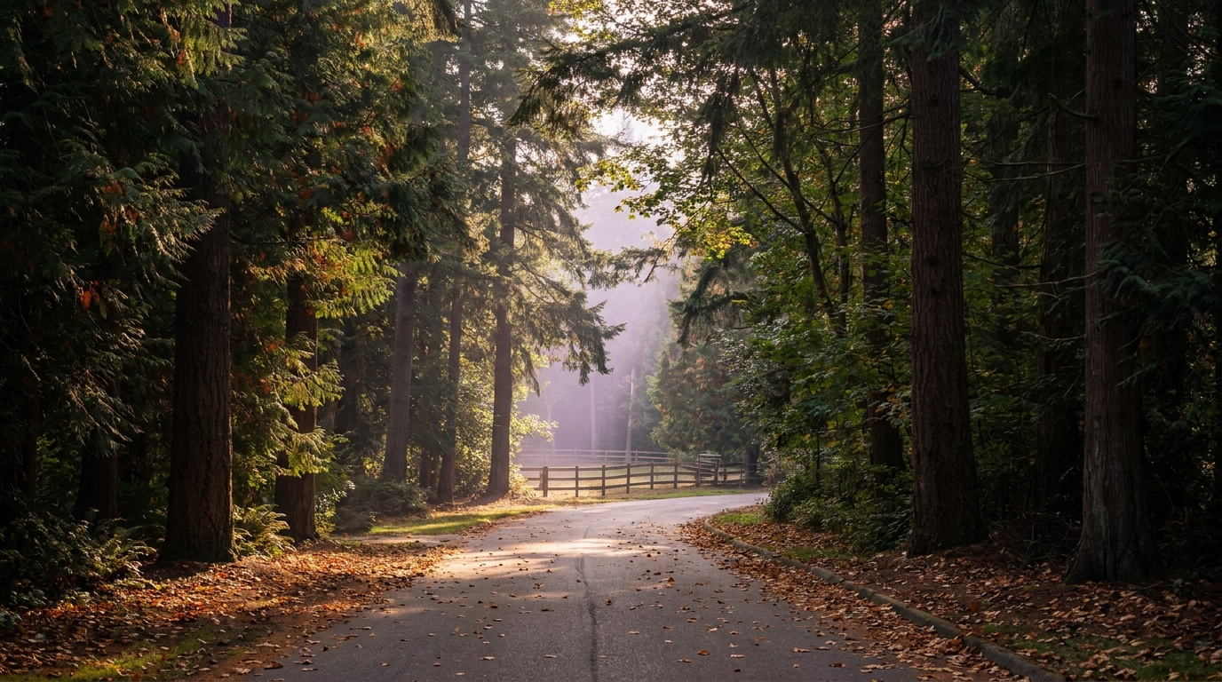
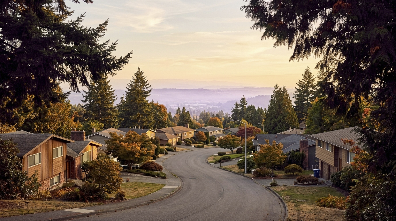
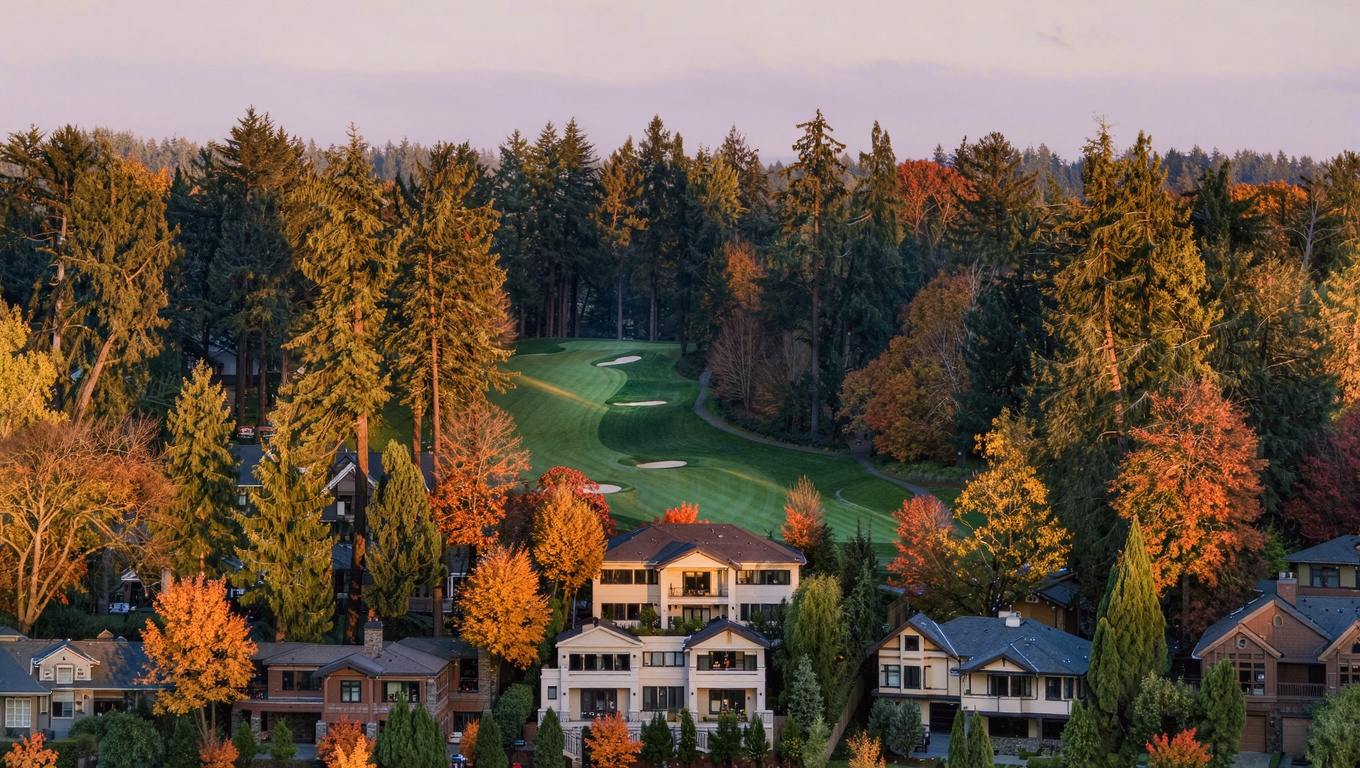
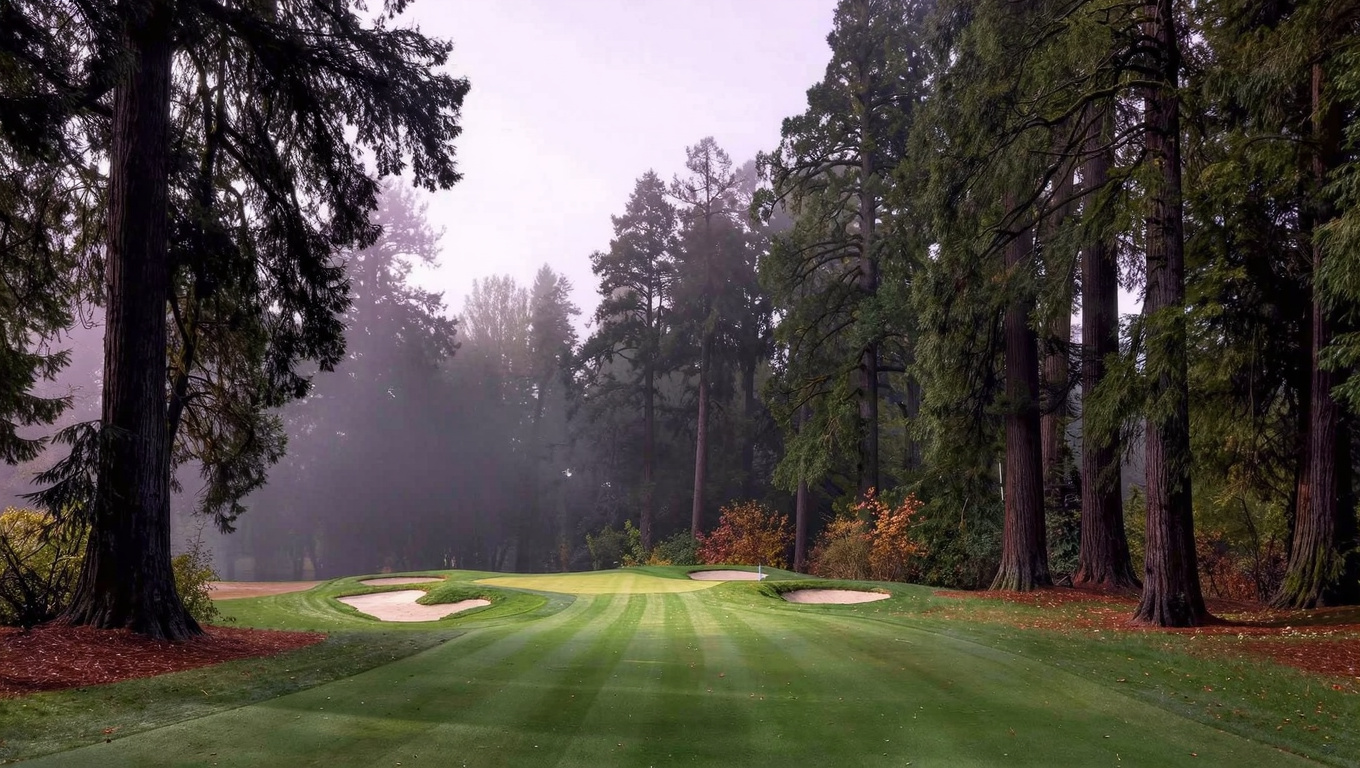
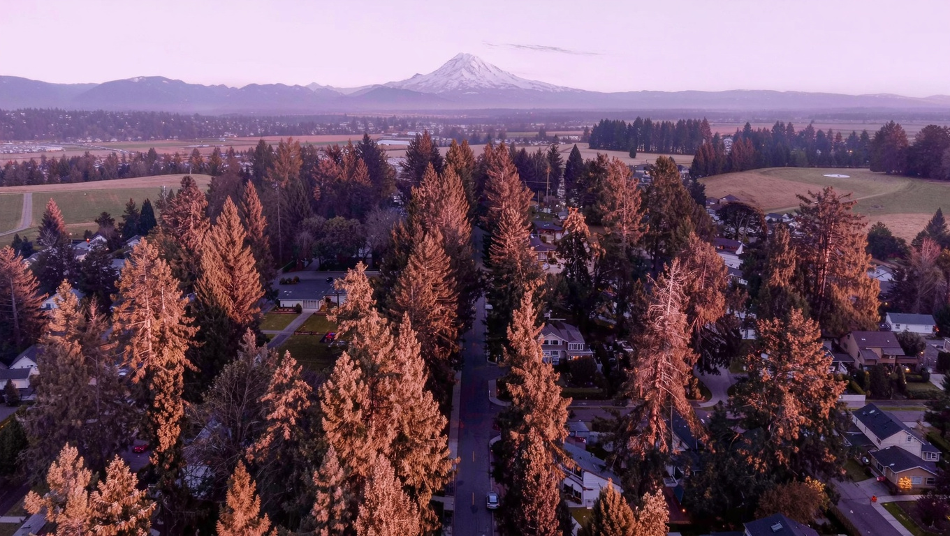
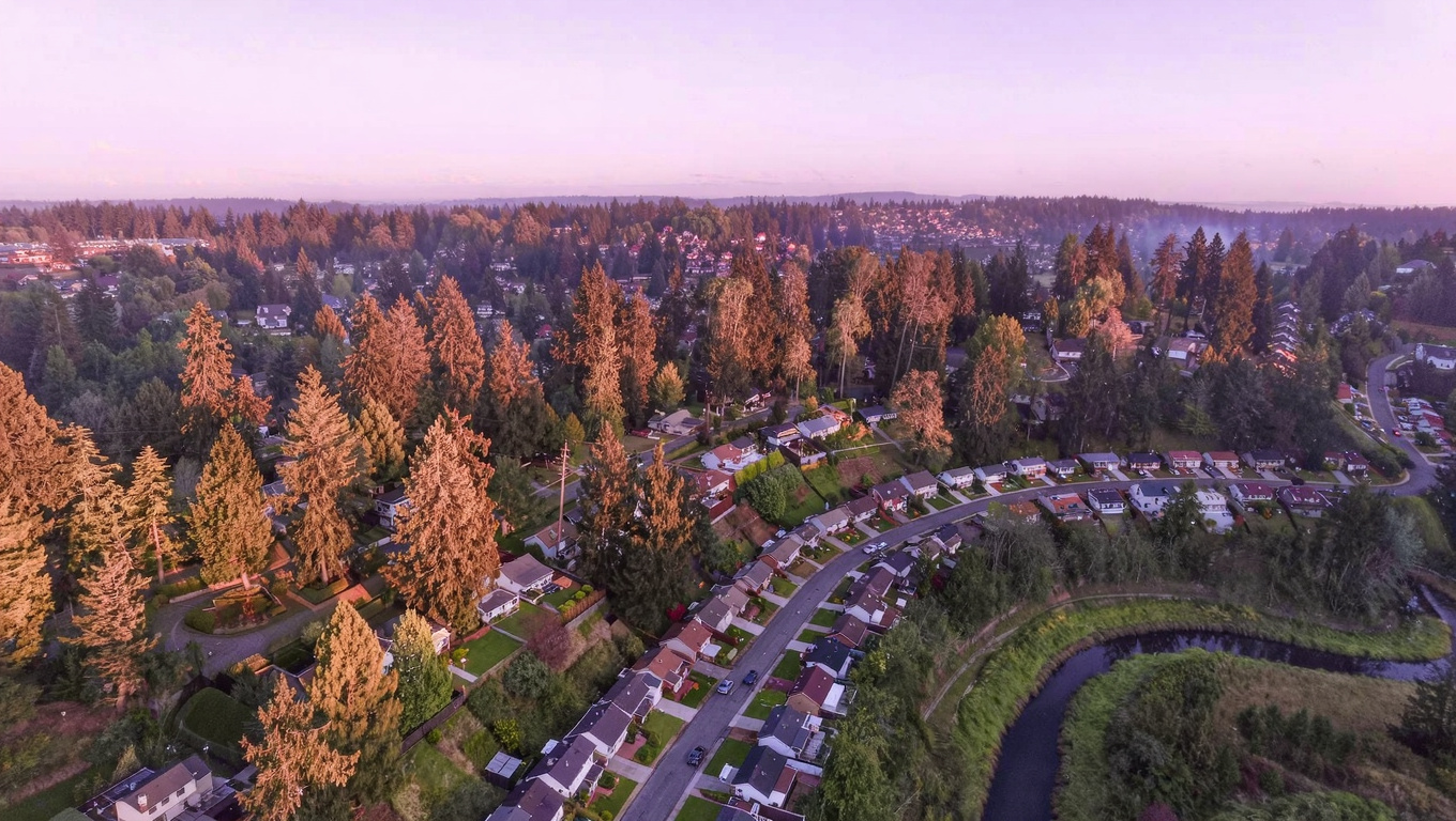
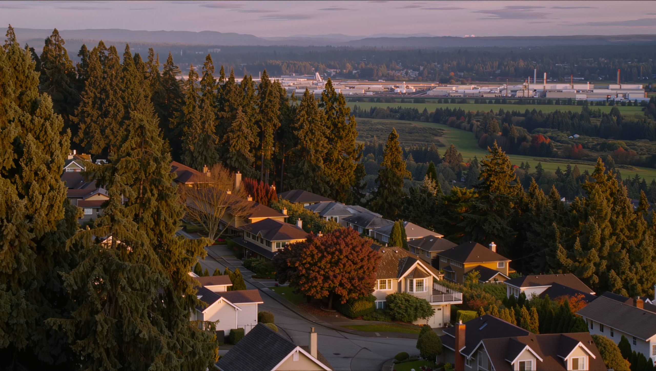
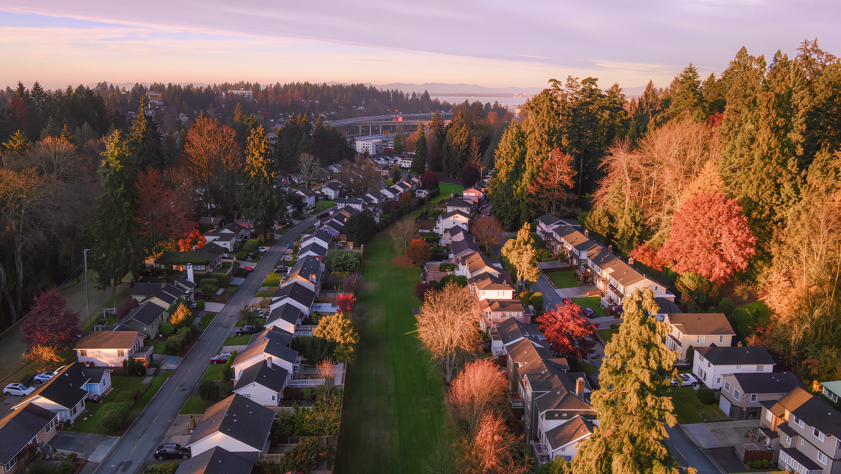
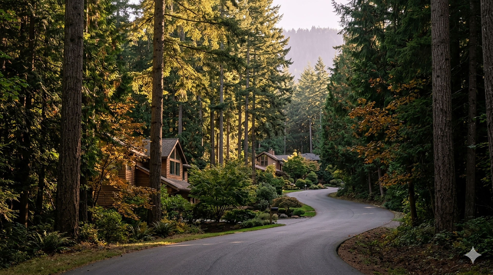
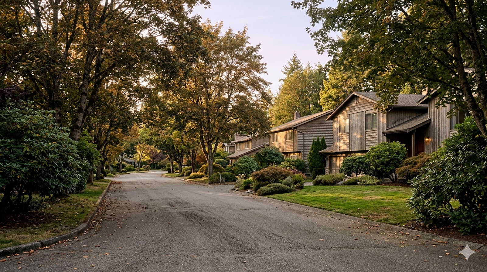
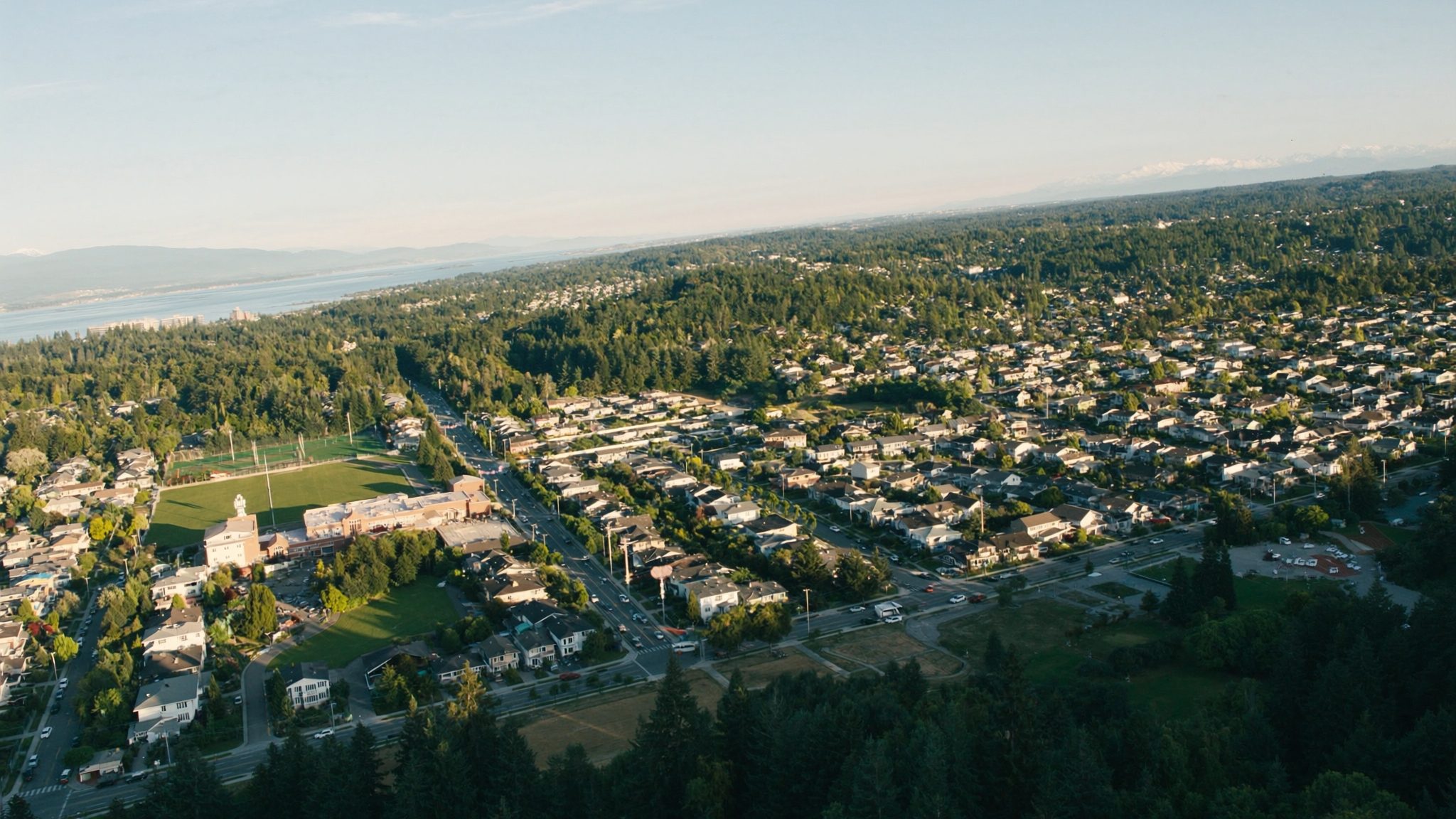
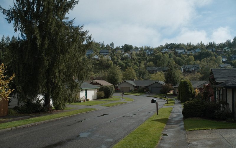
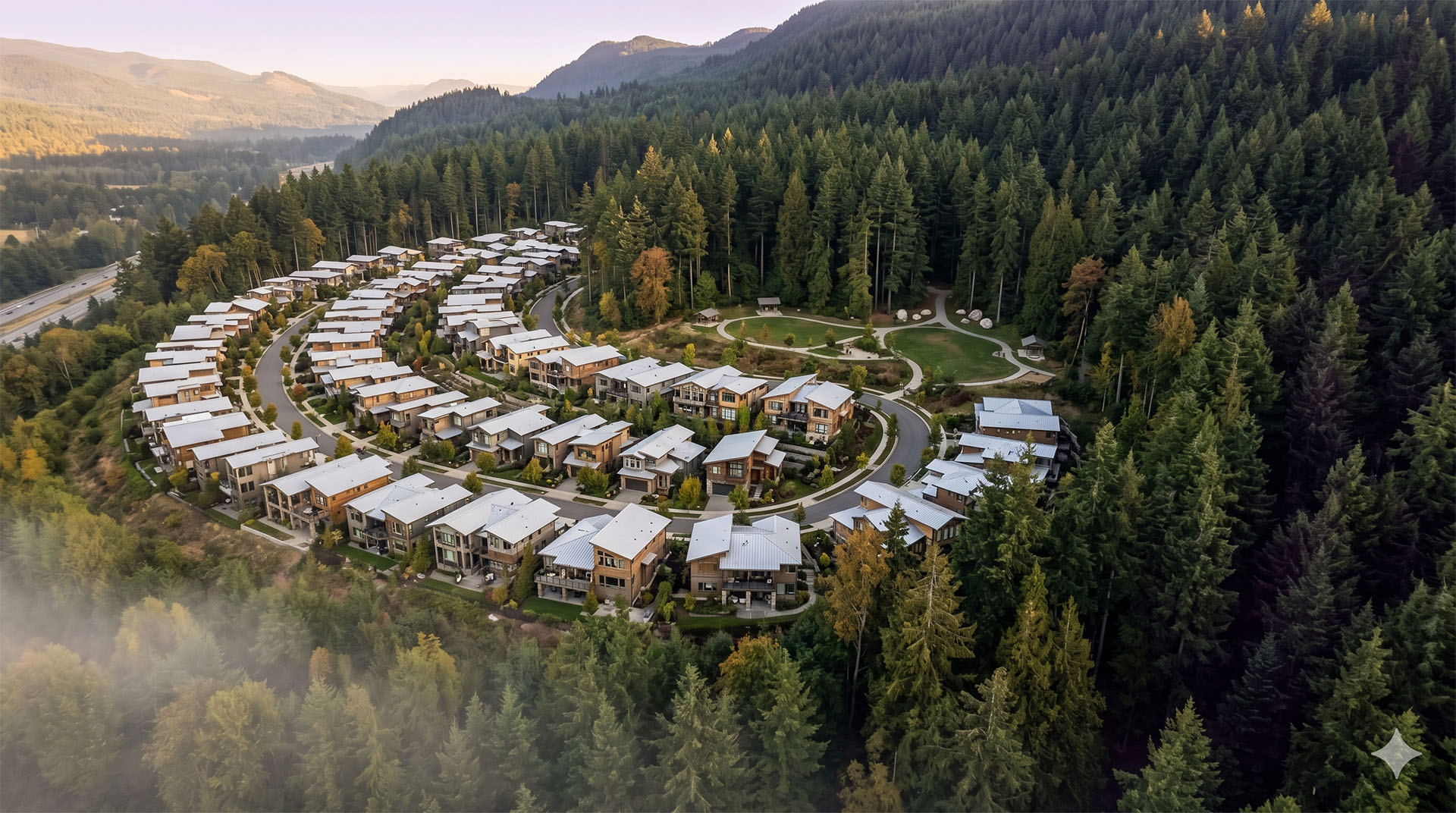
Bridle Trails carries an Equestrian-Leaning feel no other Bellevue neighborhood matches. This is Bellevue’s designated equestrian community, a heavily wooded pocket where nearly two-thirds of the land is still second-growth timber. Large single-family lots dominate, many a half acre or more, with horse pastures tucked behind tree lines a few miles from Microsoft’s front door. It is a real contrast to the dense, glass-tower core of downtown Bellevue, and that contrast is the whole reason buyers seek it out.

On a Tuesday morning, Bridle Trails stays quiet. There is no retail strip humming with foot traffic, just winding, tree-shaded streets and the occasional horse trailer pulling out toward the state park. Most residents commute by car, since the low density and forested layout were never built around transit. The pace here has more in common with a rural county road than a typical Bellevue address.

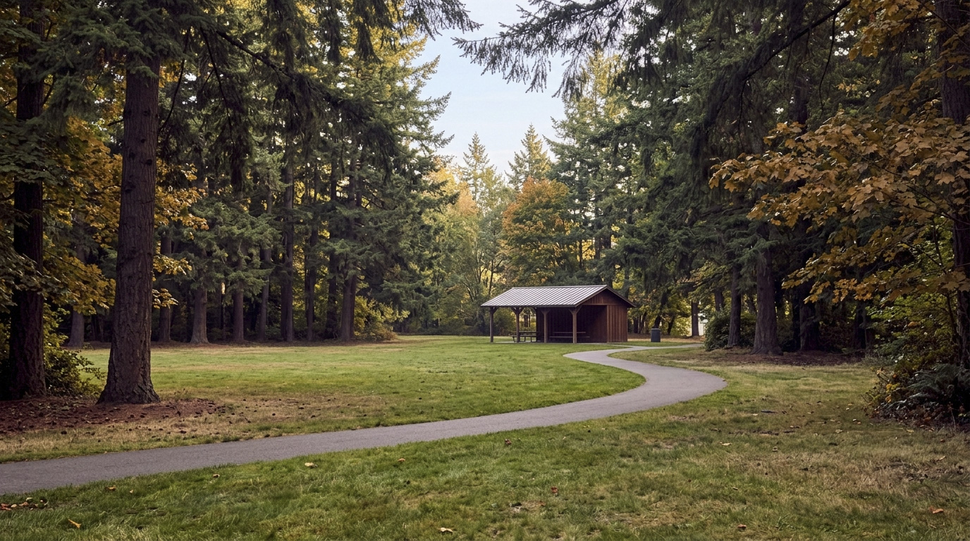
Weekends bring people out to the trail system. Bridle Trails State Park sees steady use from hikers, dog walkers, and equestrians alike, and it hosts organized horse shows throughout the year. Residents tend to be established professionals and multi-generational families who value privacy and space over walkability, a different draw than the light rail access pulling buyers toward Downtown Bellevue or Crossroads.

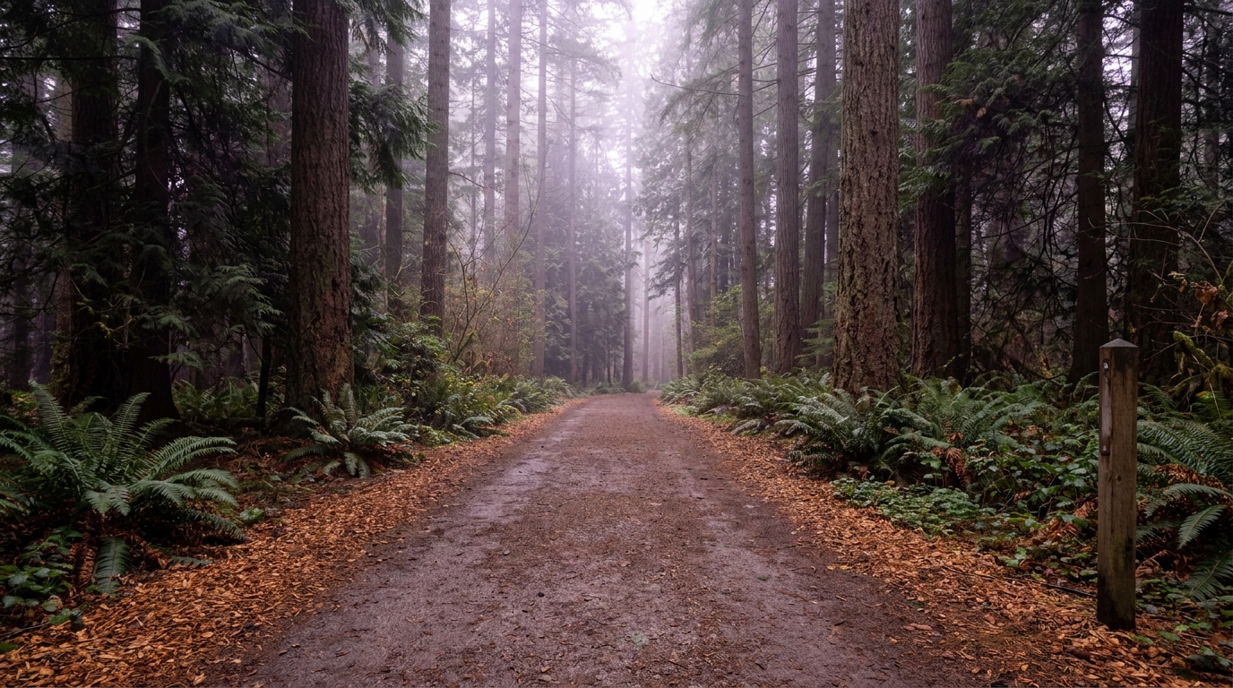
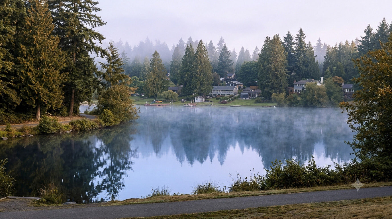
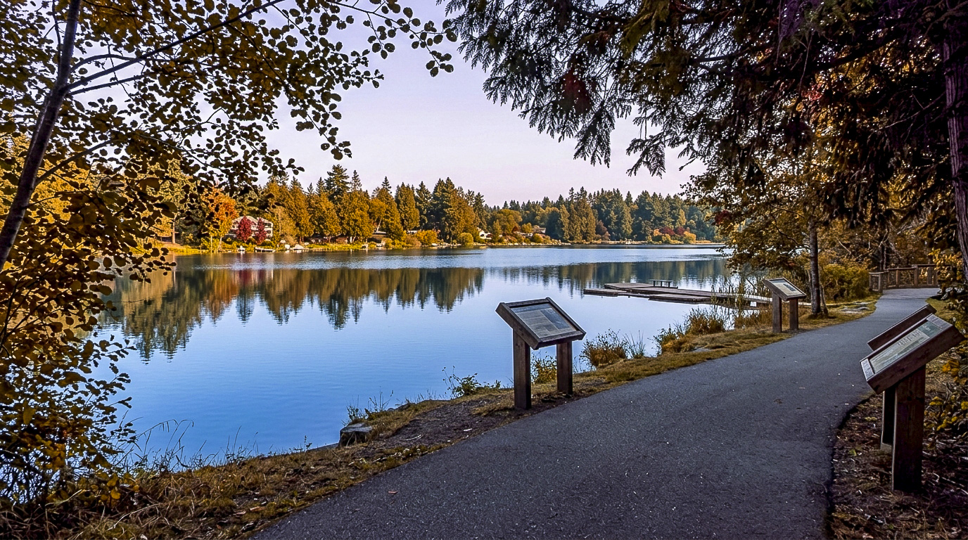
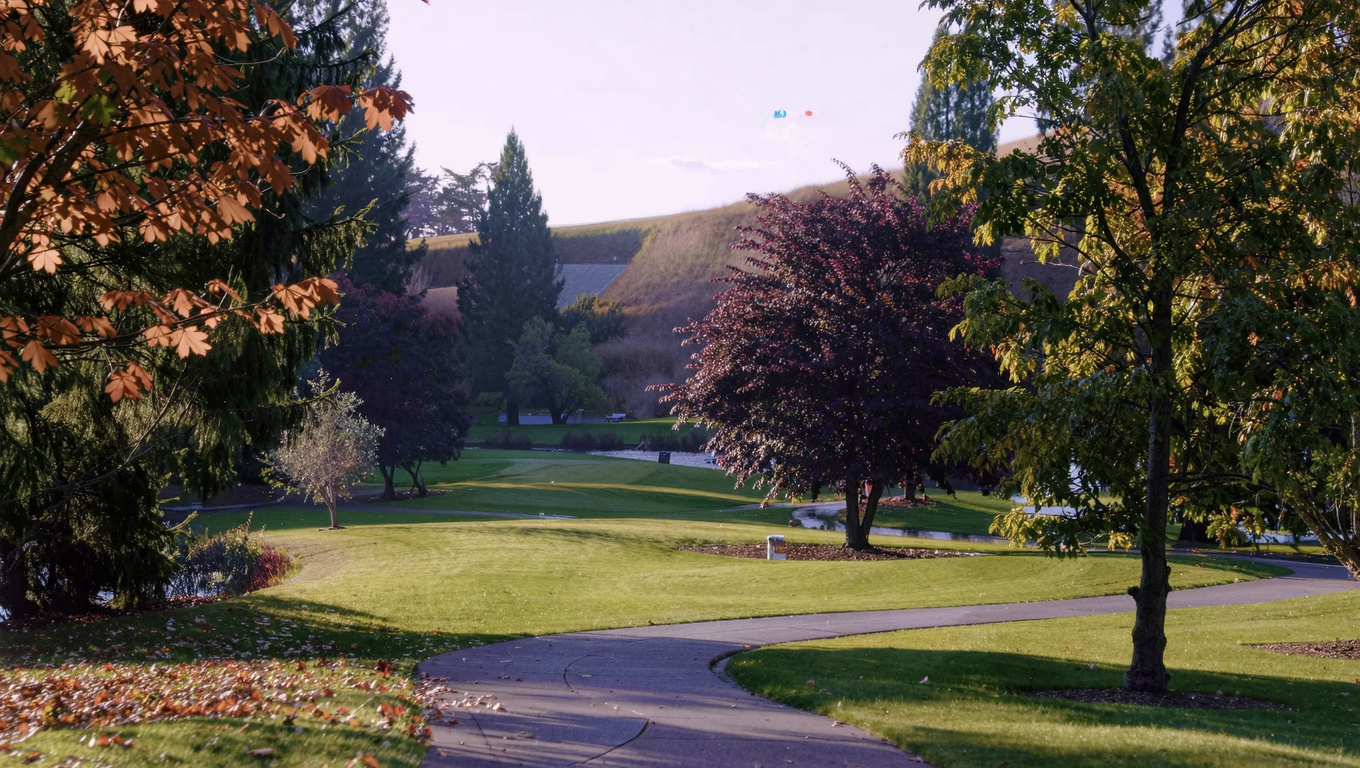
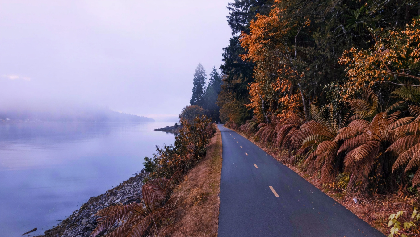
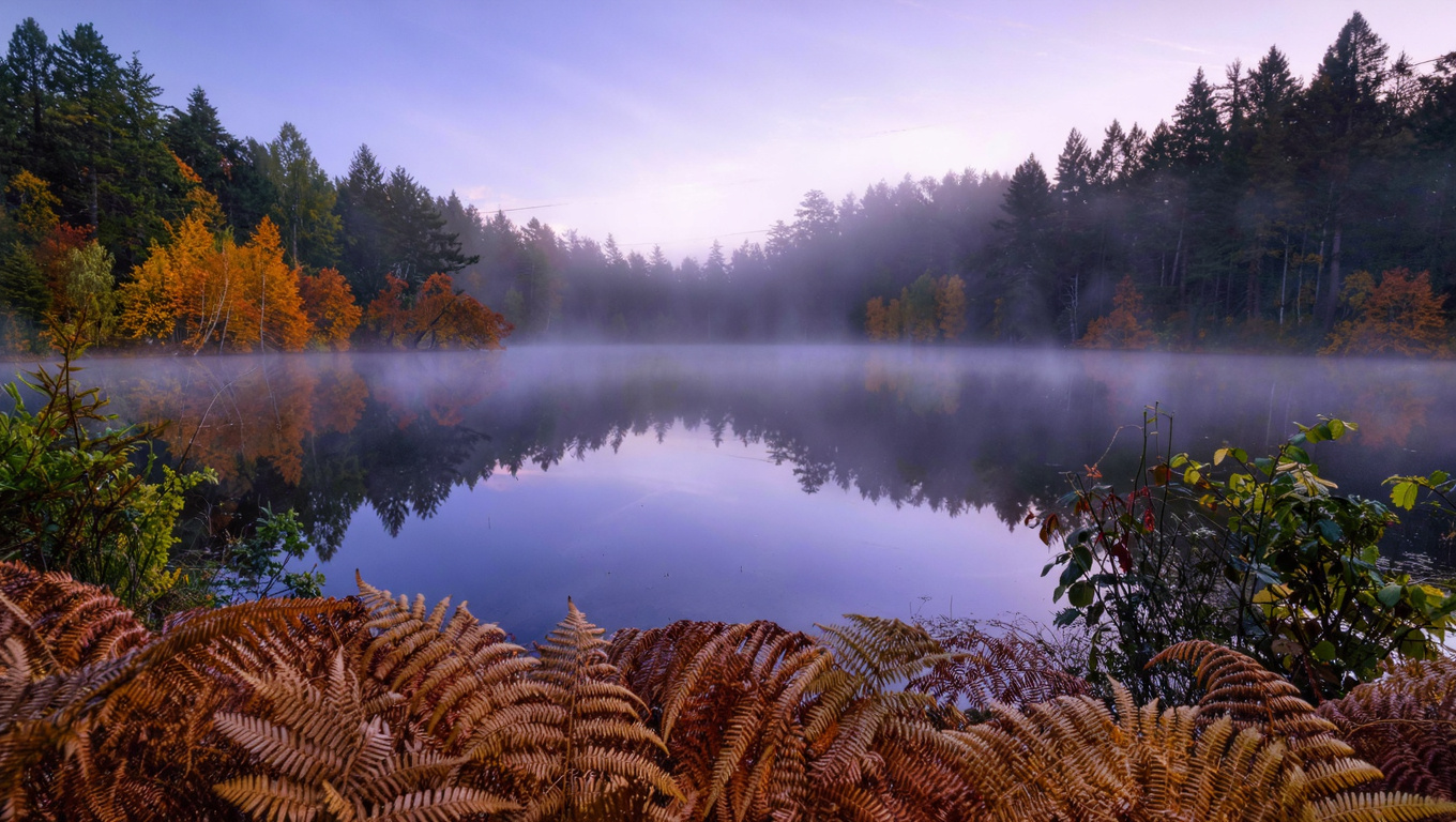
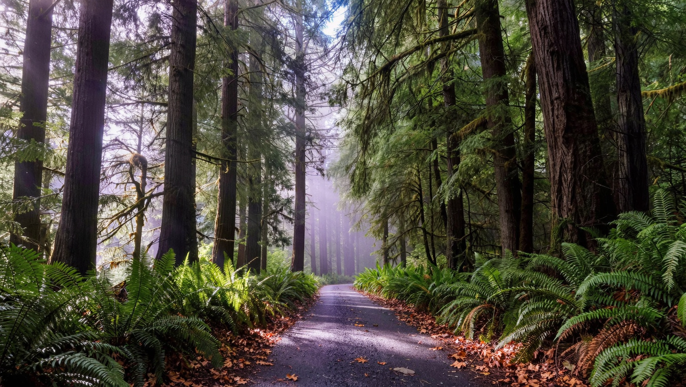
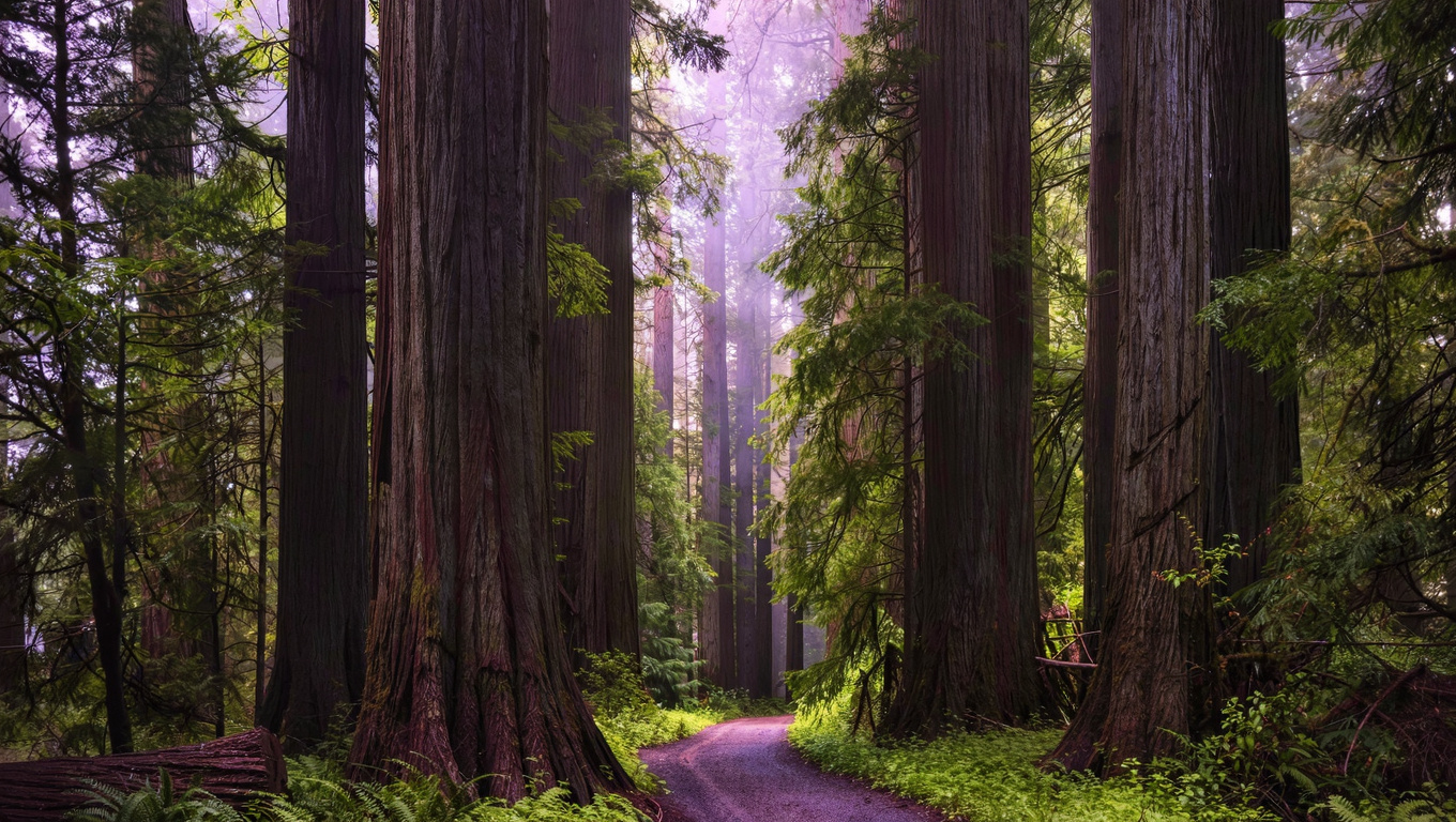
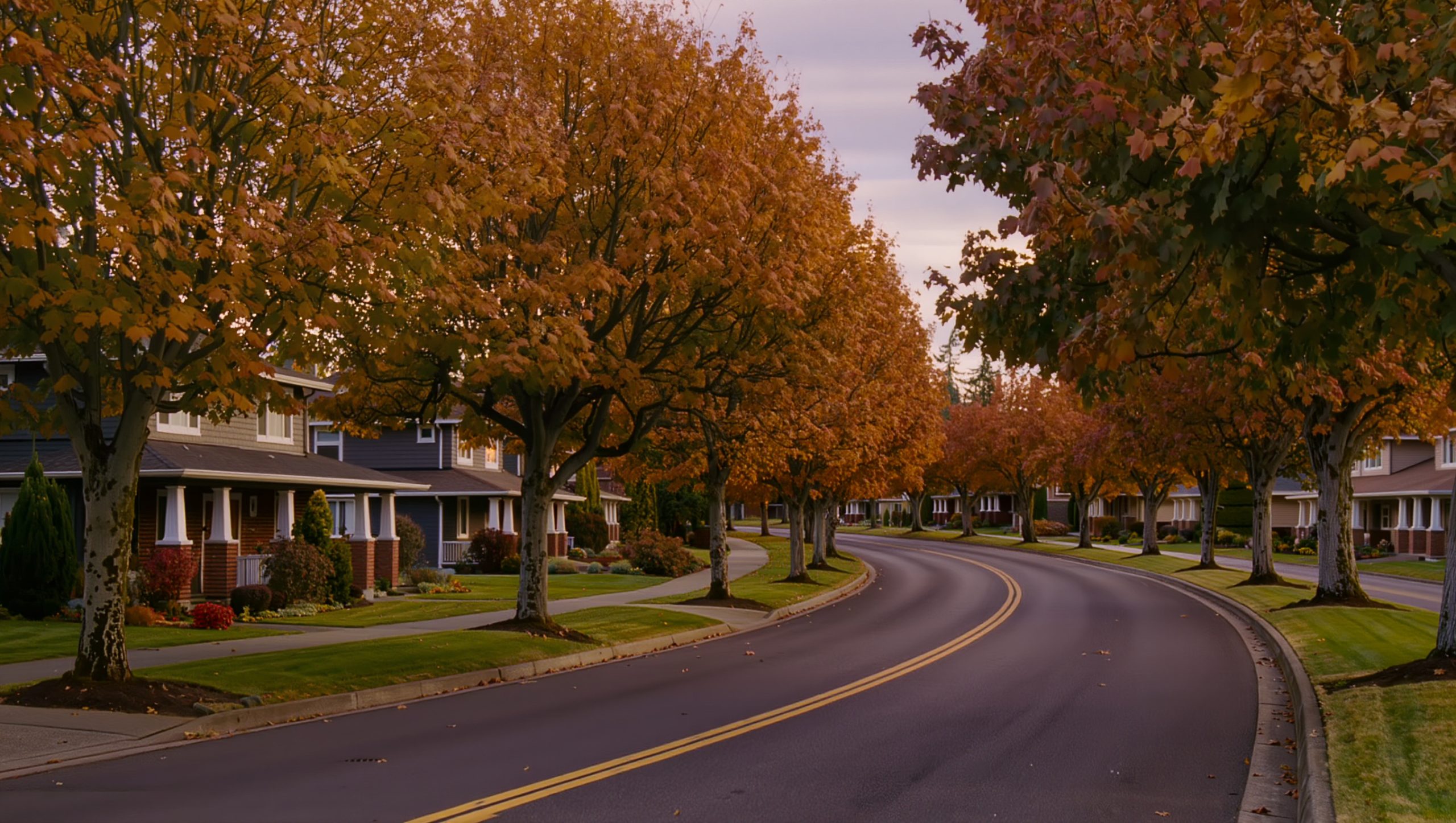
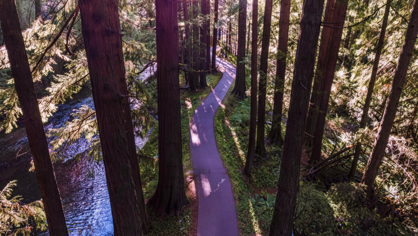
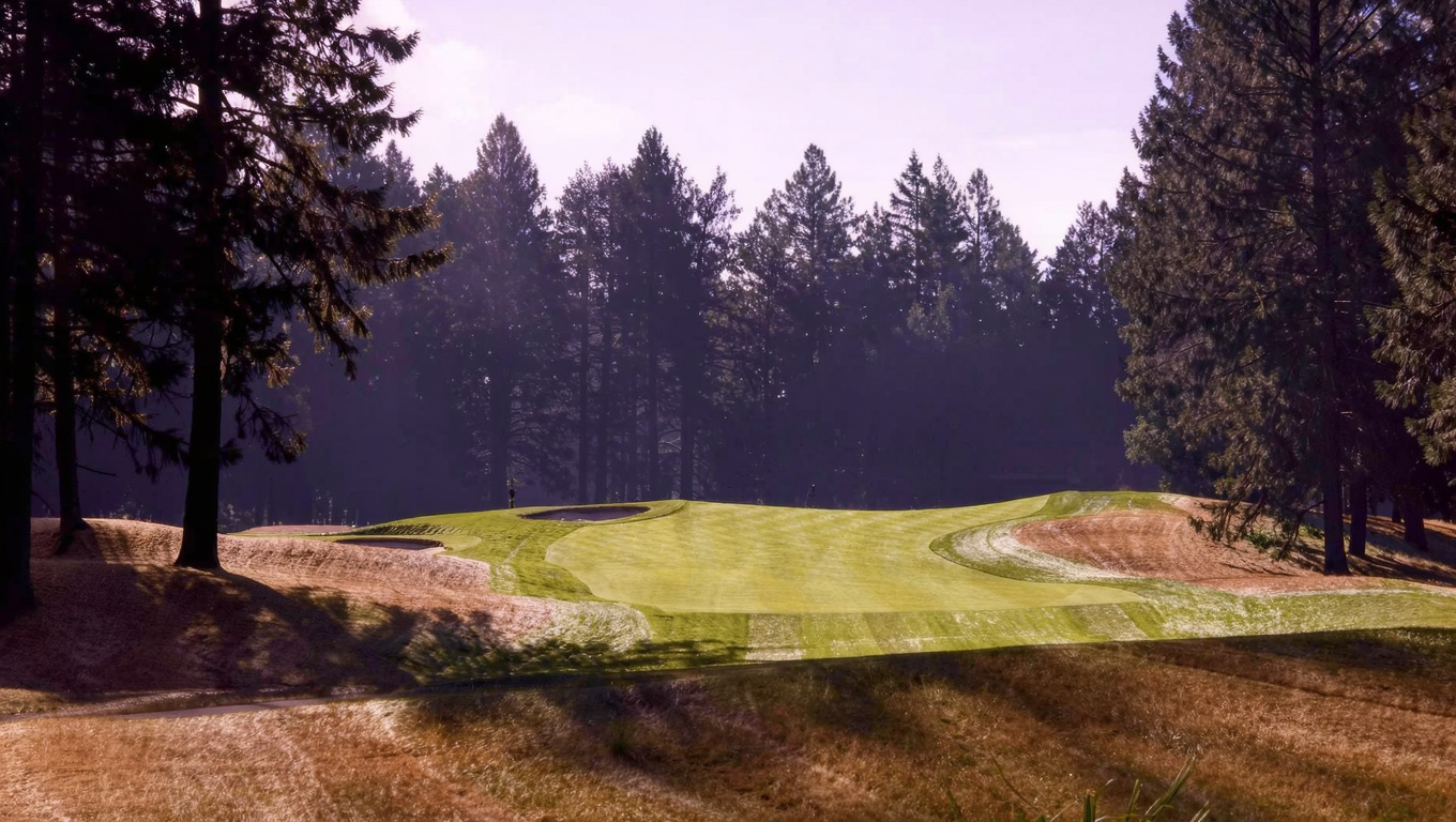
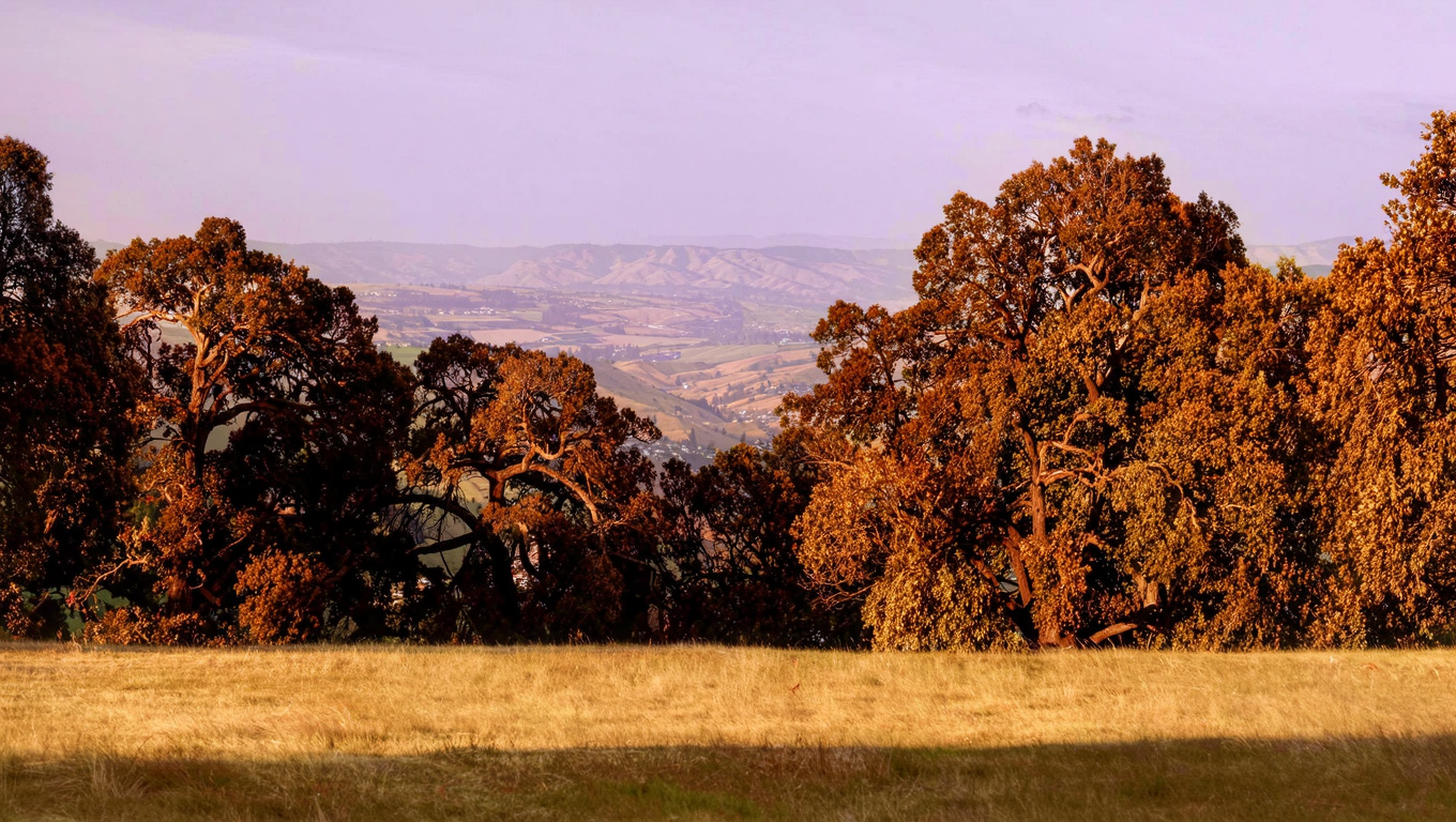
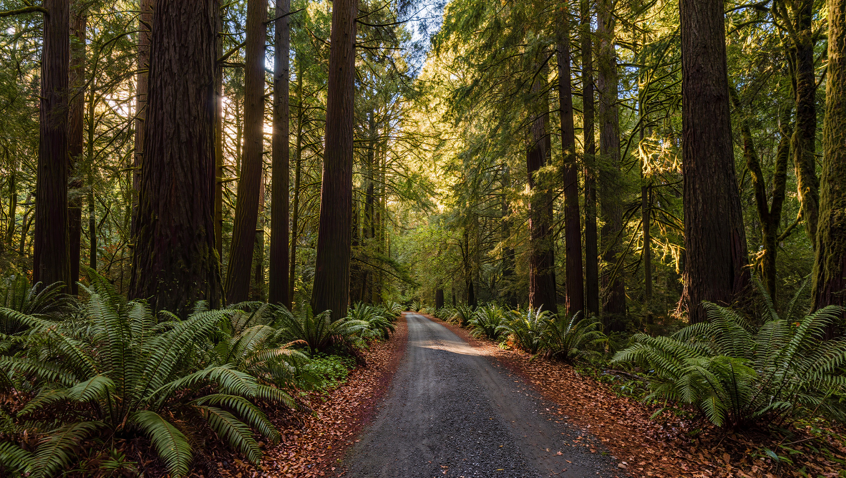
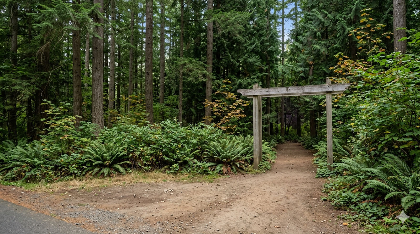
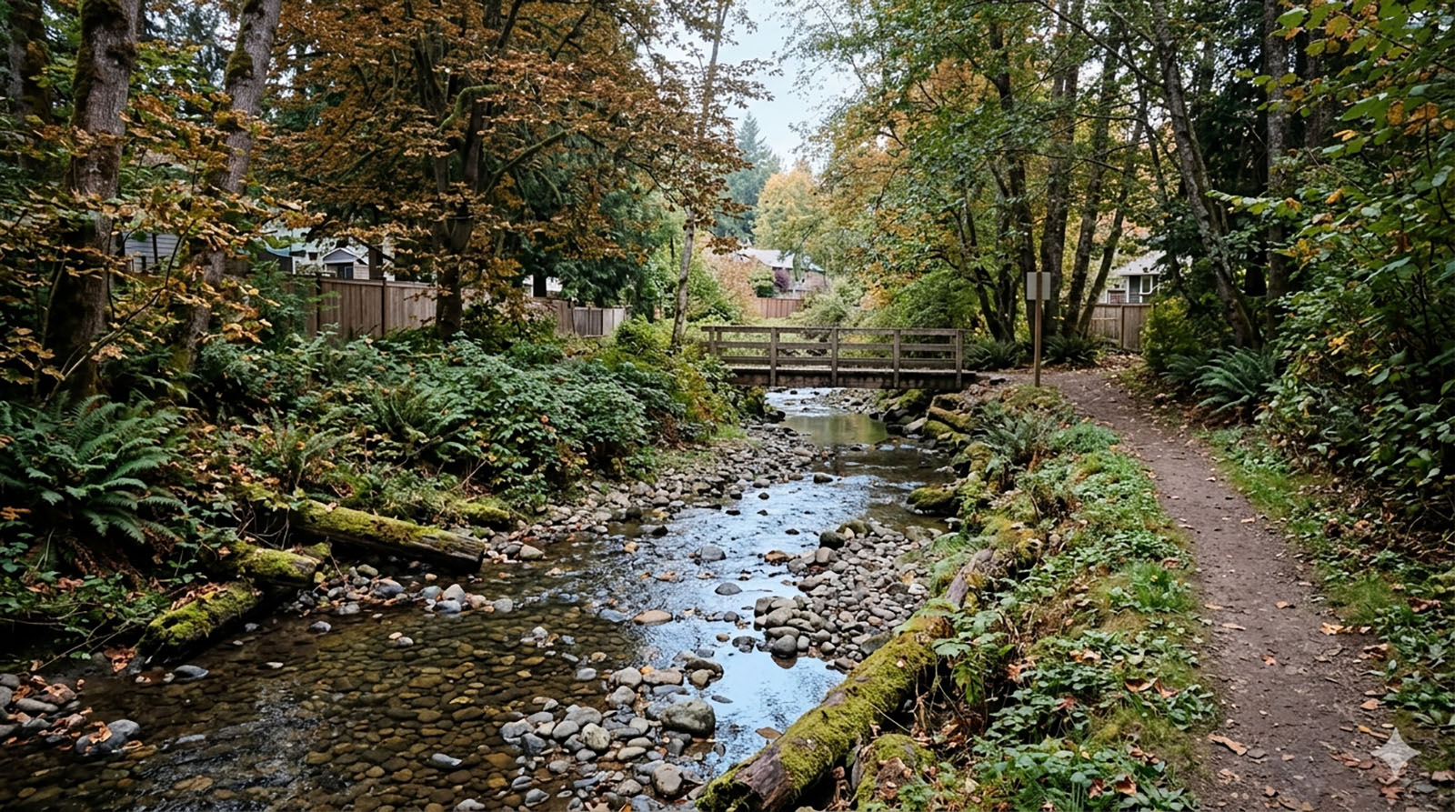
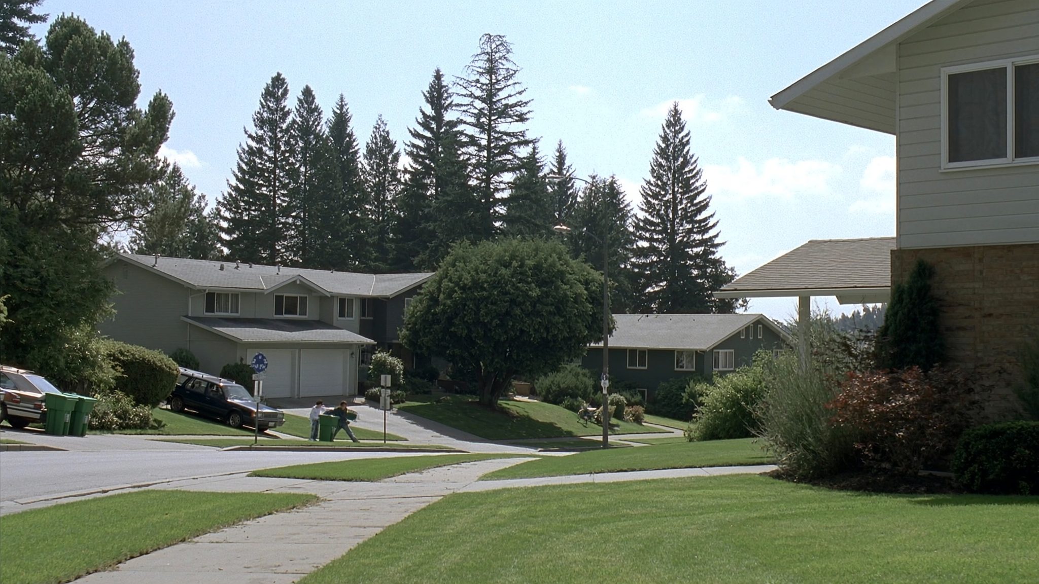
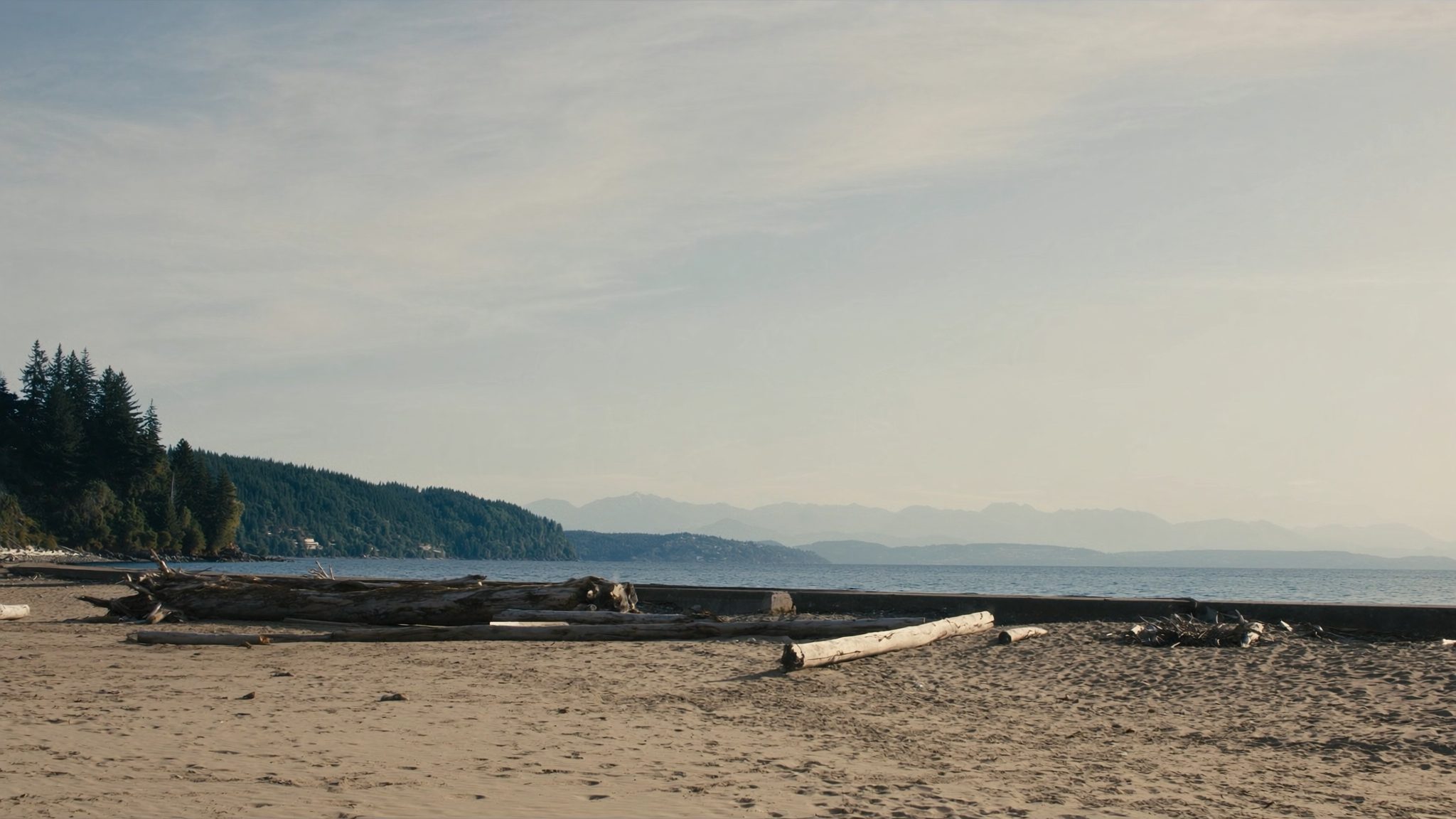
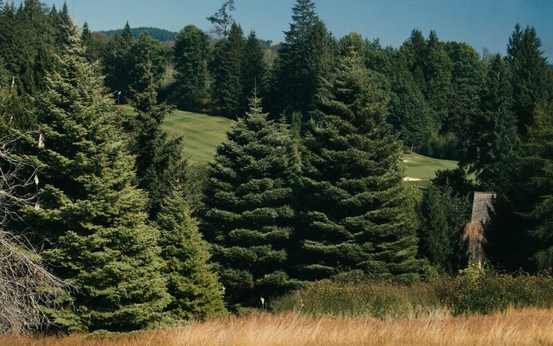
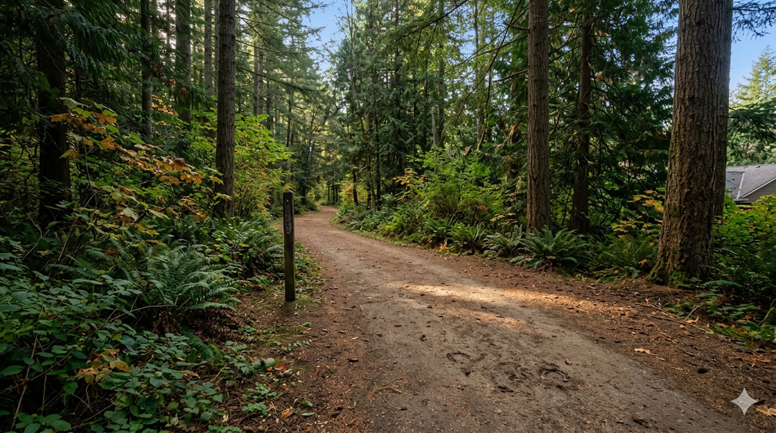
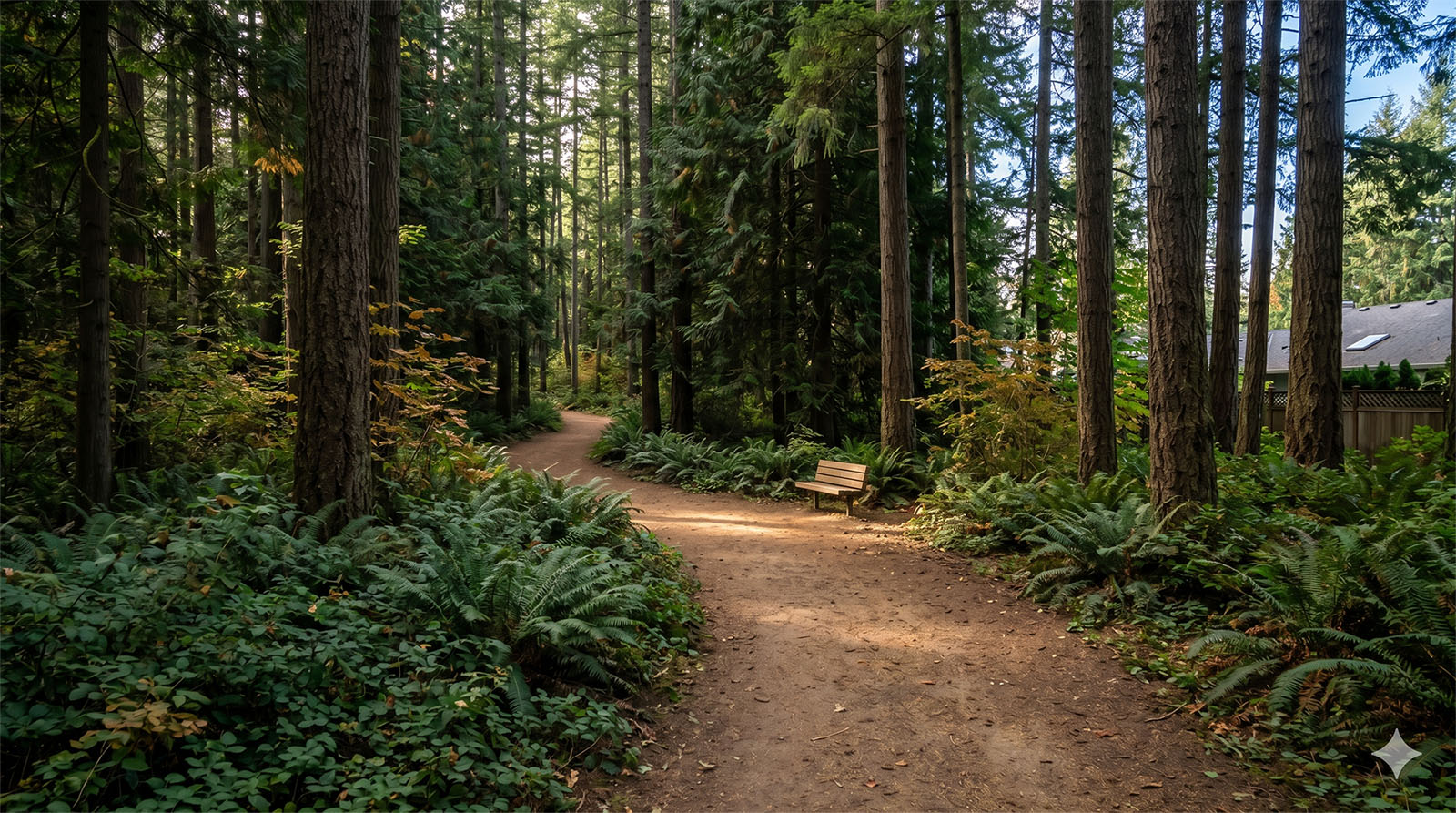
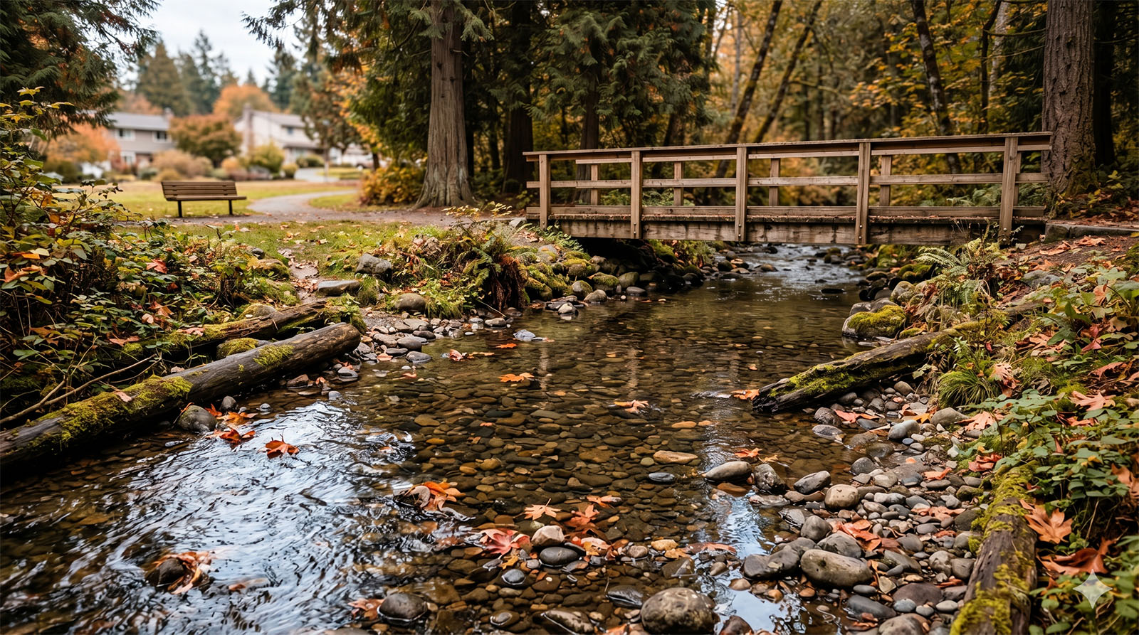
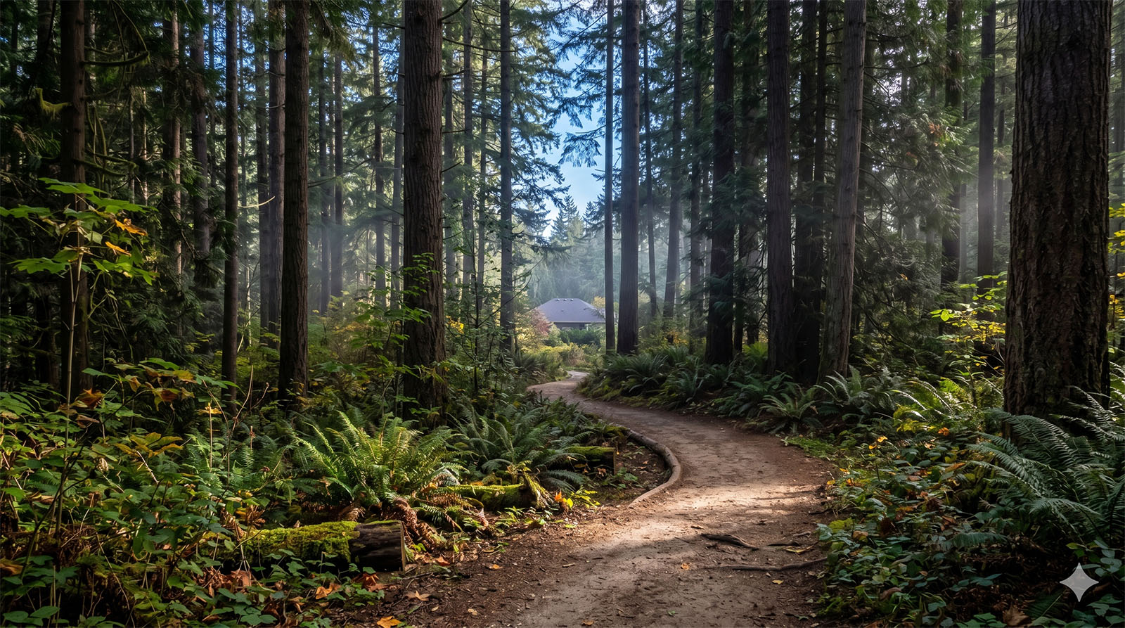
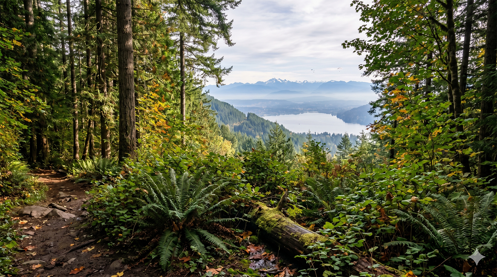
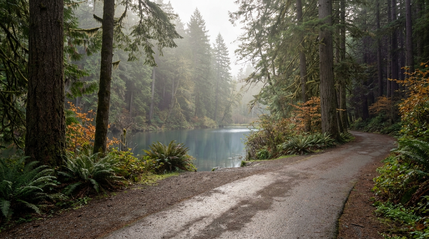
Forested equestrian trail through Bridle Trails State Park in Bellevue, Washington
Bridle Trails State Park gives the neighborhood 28 miles of forested trails shared by hikers, dog walkers, and equestrians.

Homes in Bridle Trails: What the Data Shows

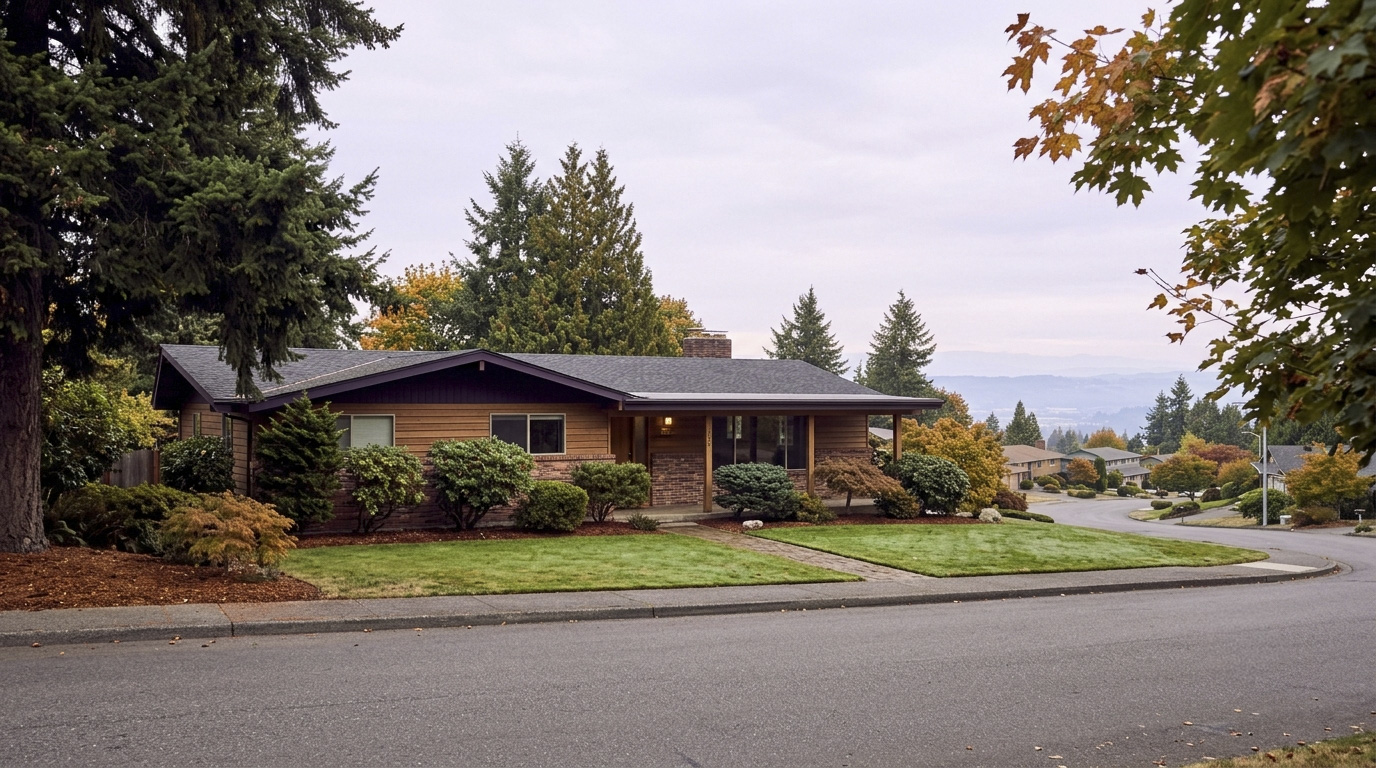
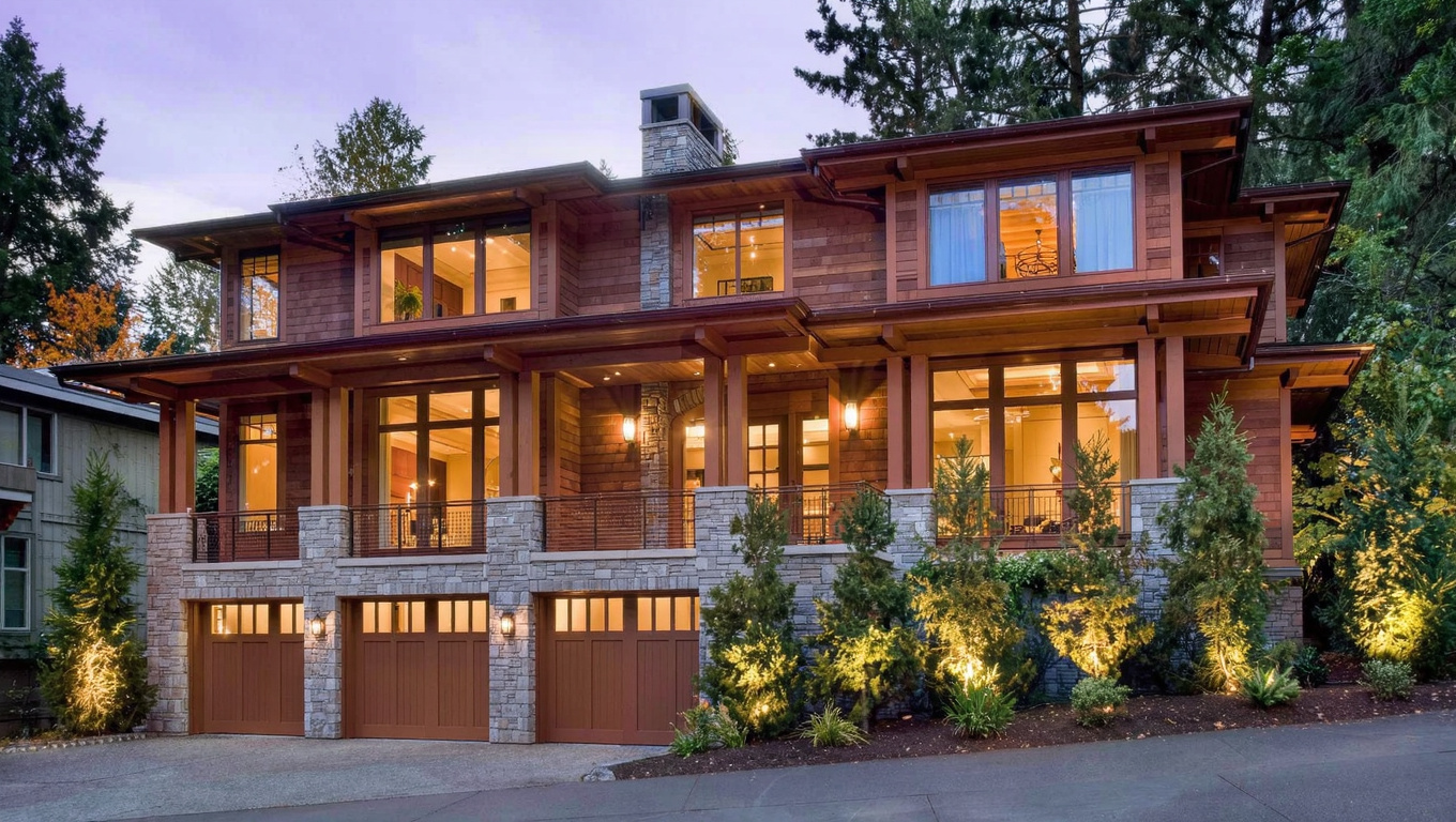
Housing in Bridle Trails is almost entirely detached single-family, with very little condo or townhome inventory in the neighborhood’s core. Lots run large by Bellevue standards, often a half acre or more, and some parcels still accommodate horses under the neighborhood’s semi-rural zoning. Most homes were built from the 1970s through the 1990s, ranging from about 2,500 to 5,000 square feet, though newer construction has filled in some larger subdivided lots along the edges. A narrow strip of apartments and condos sits along 148th Avenue NE across from the Microsoft campus, but that stretch is the exception in an otherwise low-density neighborhood.

Data as of July 2026.

Market Pulse Bellevue (city) King County
Average Sales Price (July 2026) ~$2,131,947 ~$1,000,000 (median)
Median Days on Market ~13 days ~11 days
Active Listings Change (vs. Jan 2026) +215% +144%

Figures reflect city-level Bellevue residential data from the NWMLS-sourced monthly feed (InfoSparks, August 2026 pull, July 2026 data), since Bridle Trails does not have its own separate MLS reporting area. Bellevue’s citywide figure is an average sales price, not median, because that is what the monthly feed reports at the city level. Bridle Trails typically prices at or above the citywide figure given its larger lot sizes. Active listings change measures citywide inventory growth since January 2026, not a Bridle Trails-specific count.

Schools Serving Bridle Trails

The City of Bellevue’s own Bridle Trails Neighborhood Area Profile names Cherry Crest Elementary School as the school serving this area. Cherry Crest sits at 12400 NE 32nd Street and carries a 9 out of 10 rating on GreatSchools, with 94 percent of students proficient in both math and reading. From there, students move into the district’s standard pipeline for this part of the city, running through Chinook Middle School to Interlake High School. Attendance boundaries can shift year to year, so I always confirm the specific assignment with the district before a client writes an offer here.

Interlake High School ranks in the top 5 percent of Washington schools for overall test scores, with a 9 out of 10 GreatSchools rating and a 73 percent AP participation rate. Chinook Middle School carries an 8 out of 10 GreatSchools rating and offers a Gifted and Talented program. Both draw families to Bridle Trails for the academic track record, on top of the acreage and privacy the neighborhood already offers.

In practical terms, most Bridle Trails families drive their kids to Cherry Crest given the neighborhood’s spread-out street pattern. Middle and high schoolers typically bus or drive to Chinook and Interlake, both closer to the center of Bellevue’s school geography than out on Bridle Trails’ wooded edges.

Getting to Work from Bridle Trails

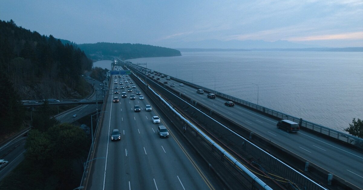
Bridle Trails sits close to the 148th Avenue NE corridor, which feeds directly into SR-520 toward Redmond and Microsoft, or west across the Evergreen Point Floating Bridge into Seattle. There is no light rail station inside the neighborhood, so most residents drive to work or drive first to a 2 Line station in downtown Bellevue.

Destination Distance 2026 Peak Commute Transit Option
Downtown Seattle 10 miles 25-40 min drive SR-520 direct, or drive to 2 Line
Amazon (South Lake Union) 11 miles 25-40 min drive SR-520 direct
Microsoft (Redmond) 4 miles 10-15 min drive SR-520 east, direct
Downtown Bellevue Tech Corridor 4-6 miles 12-20 min drive Drive, then 2 Line if desired
SeaTac Airport 22 miles 40-55 min drive I-405 South via Bellevue

Bridle Trails is a driving neighborhood. If a car-free commute is a priority, Downtown Bellevue or a neighborhood closer to a 2 Line station will serve you better than Bridle Trails’ wooded, low-density streets.

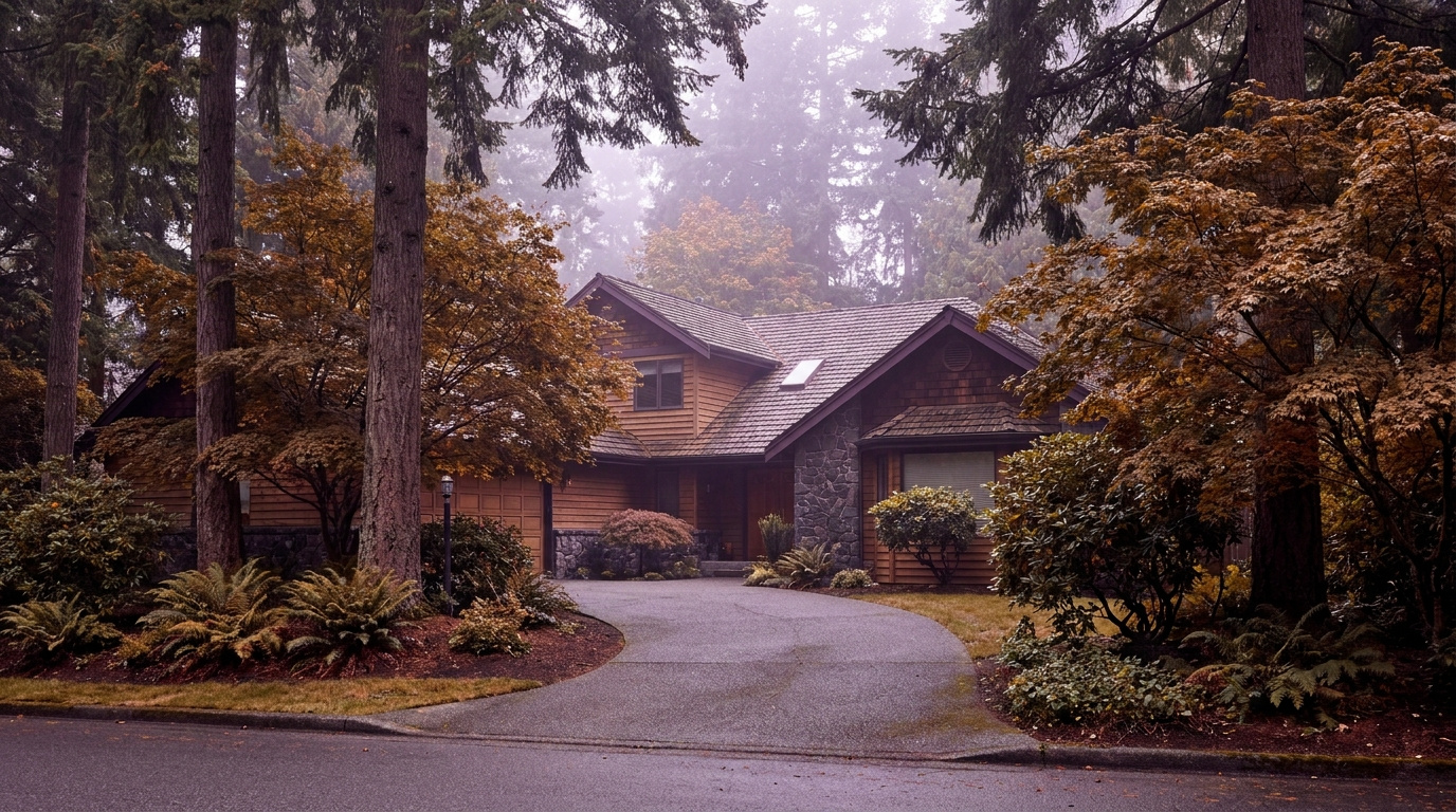
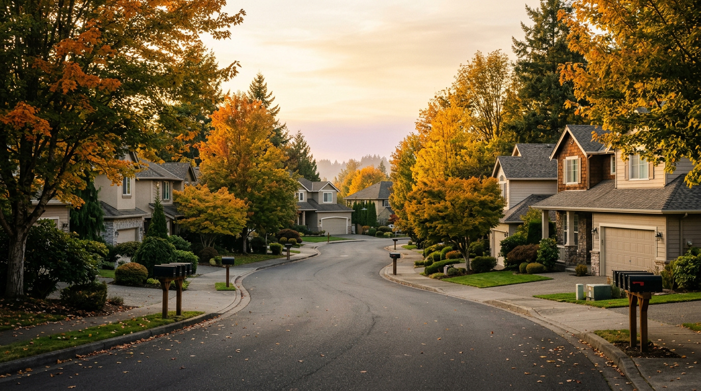
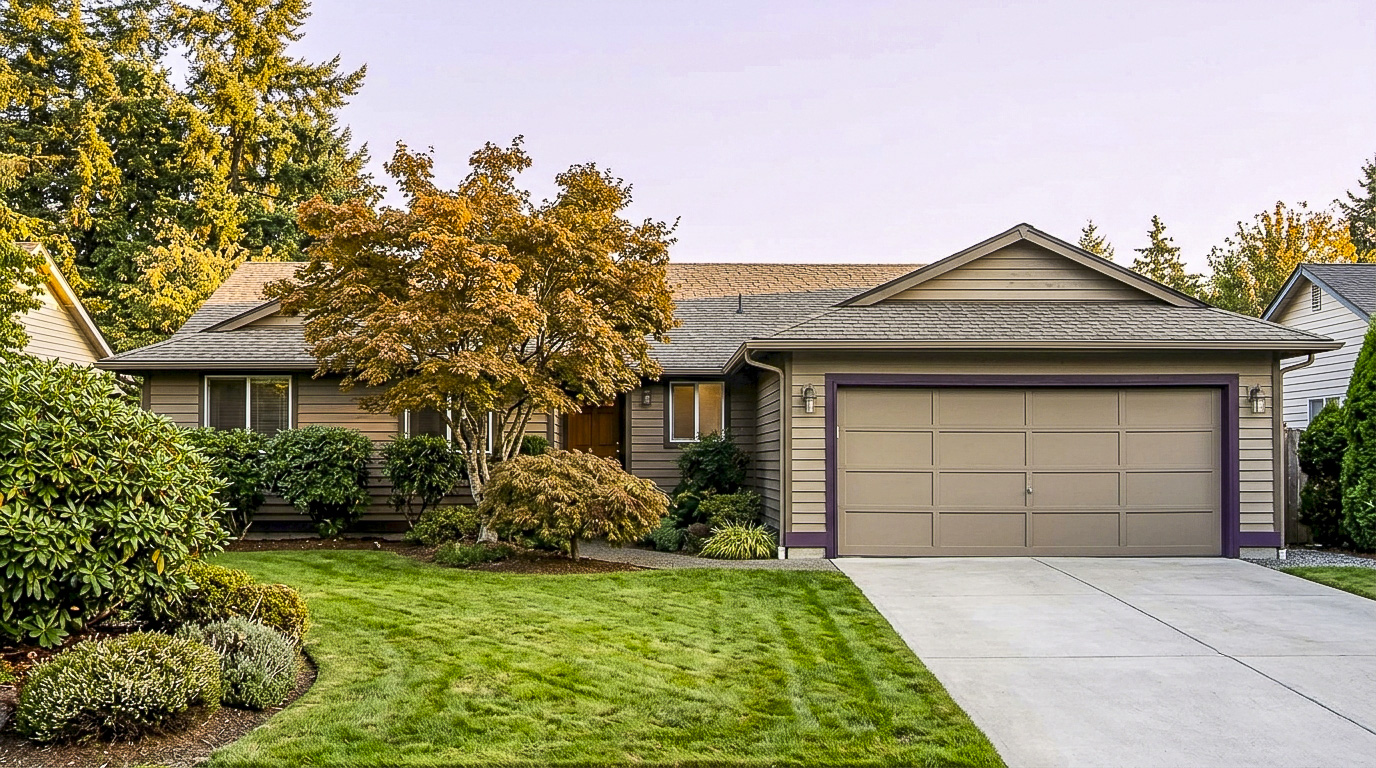
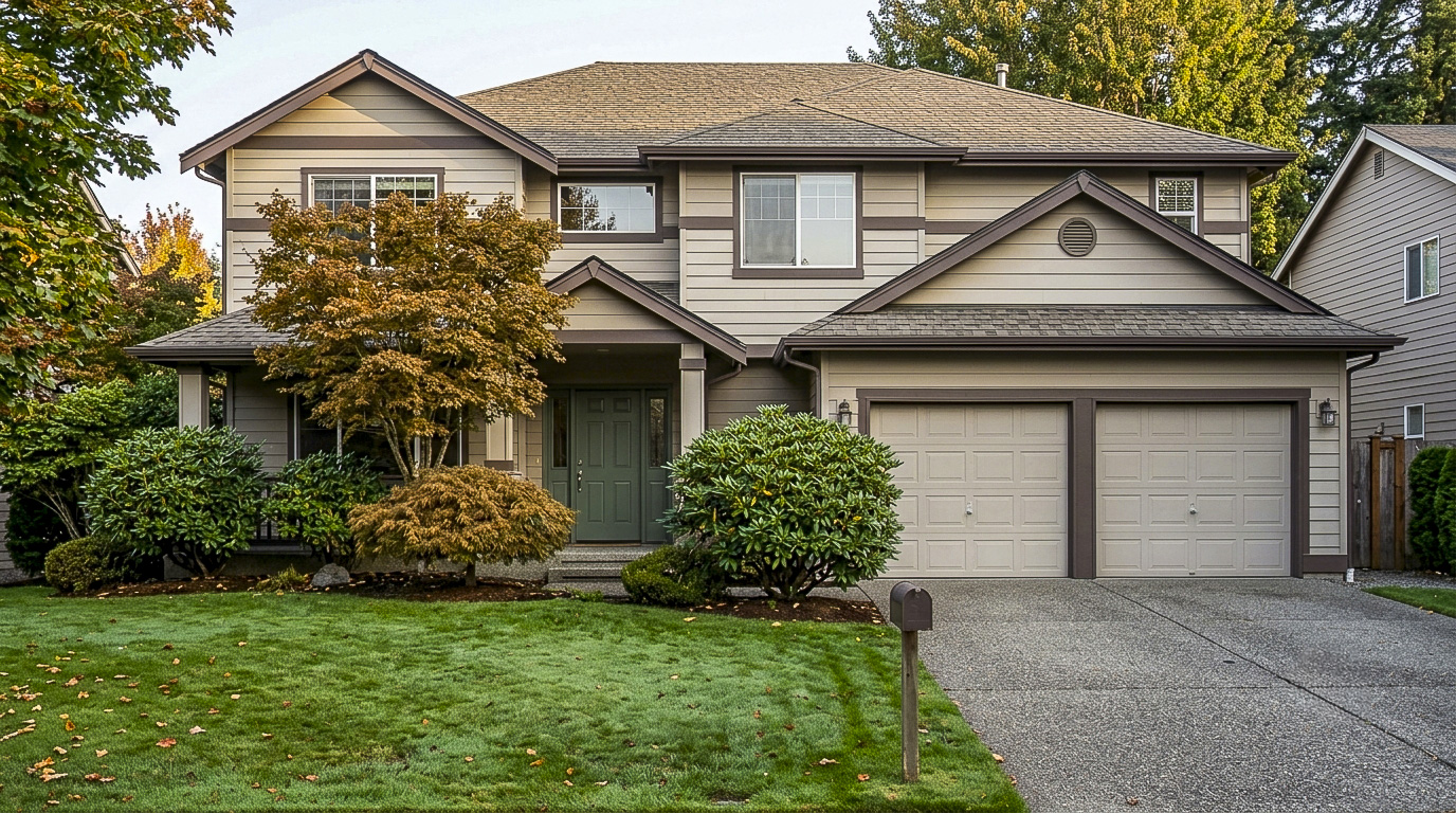
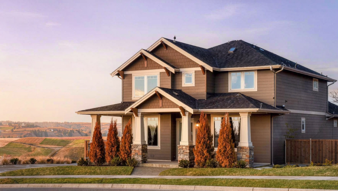
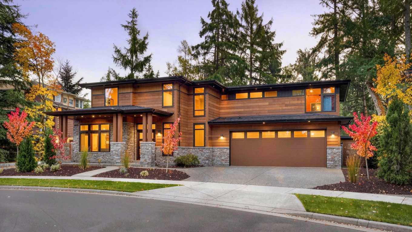
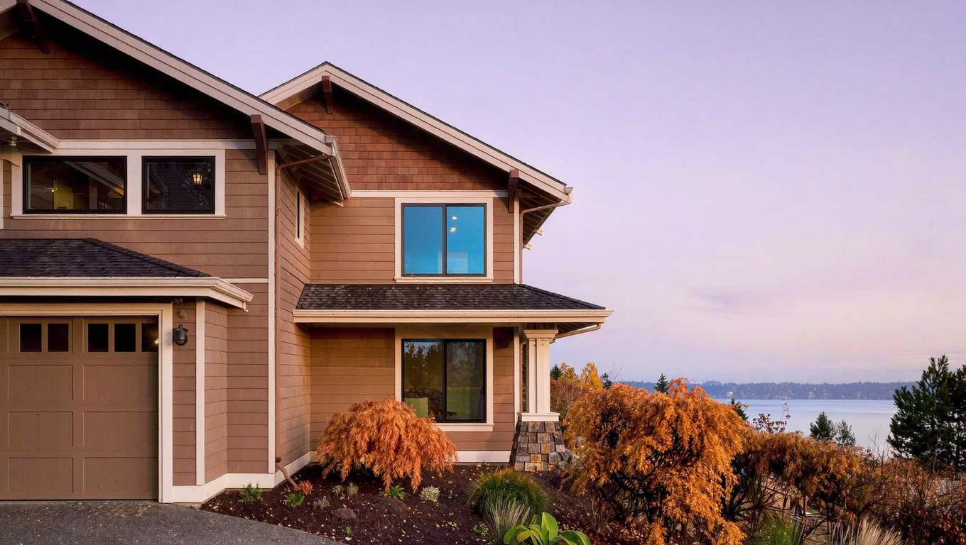
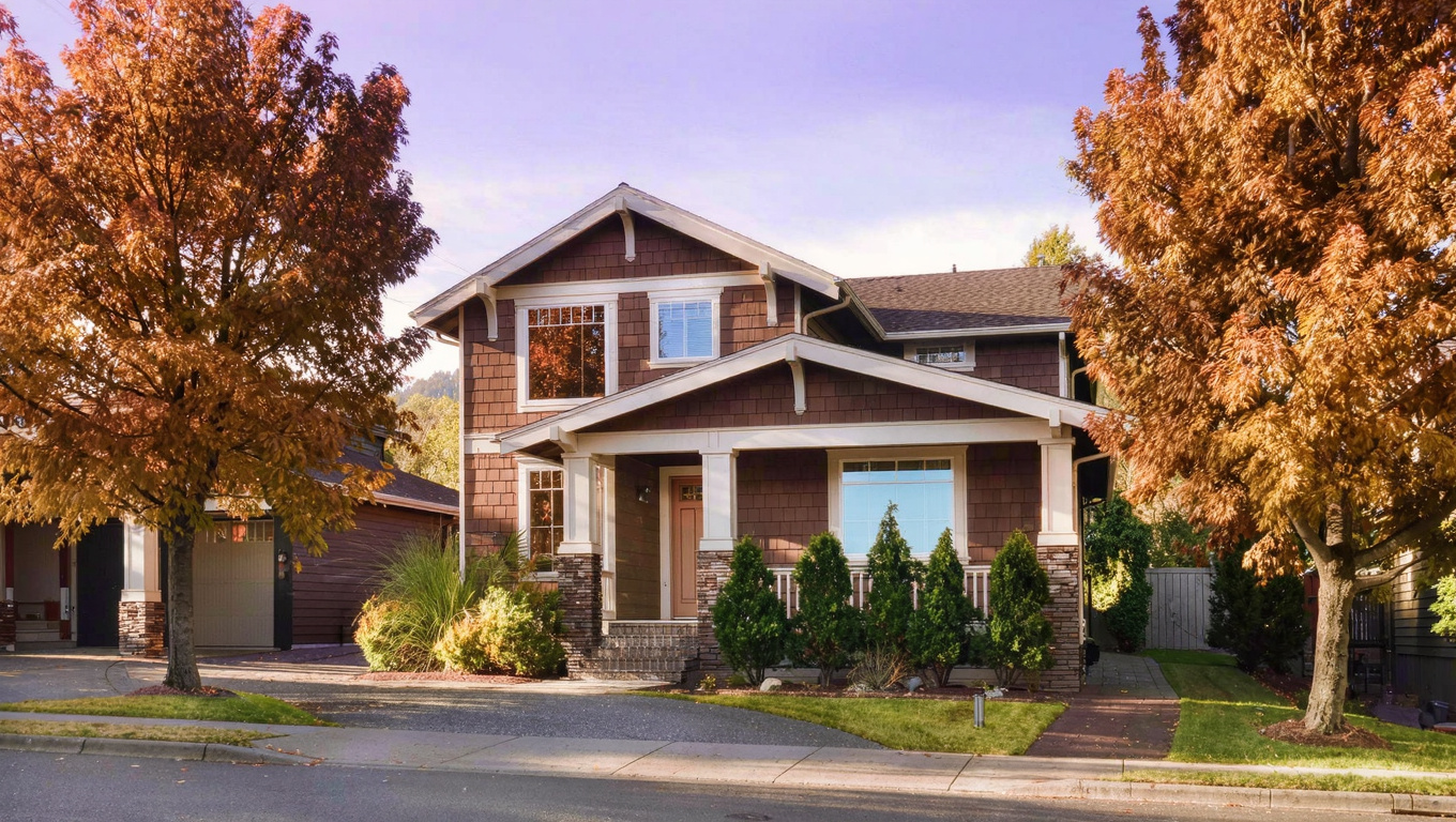
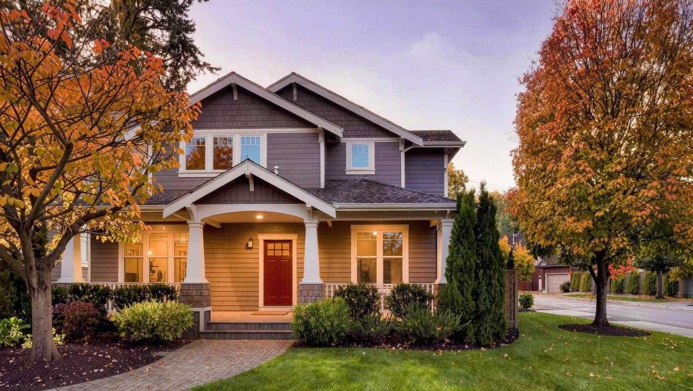
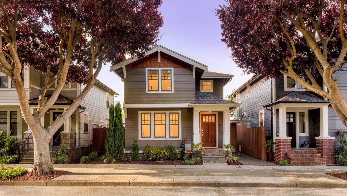
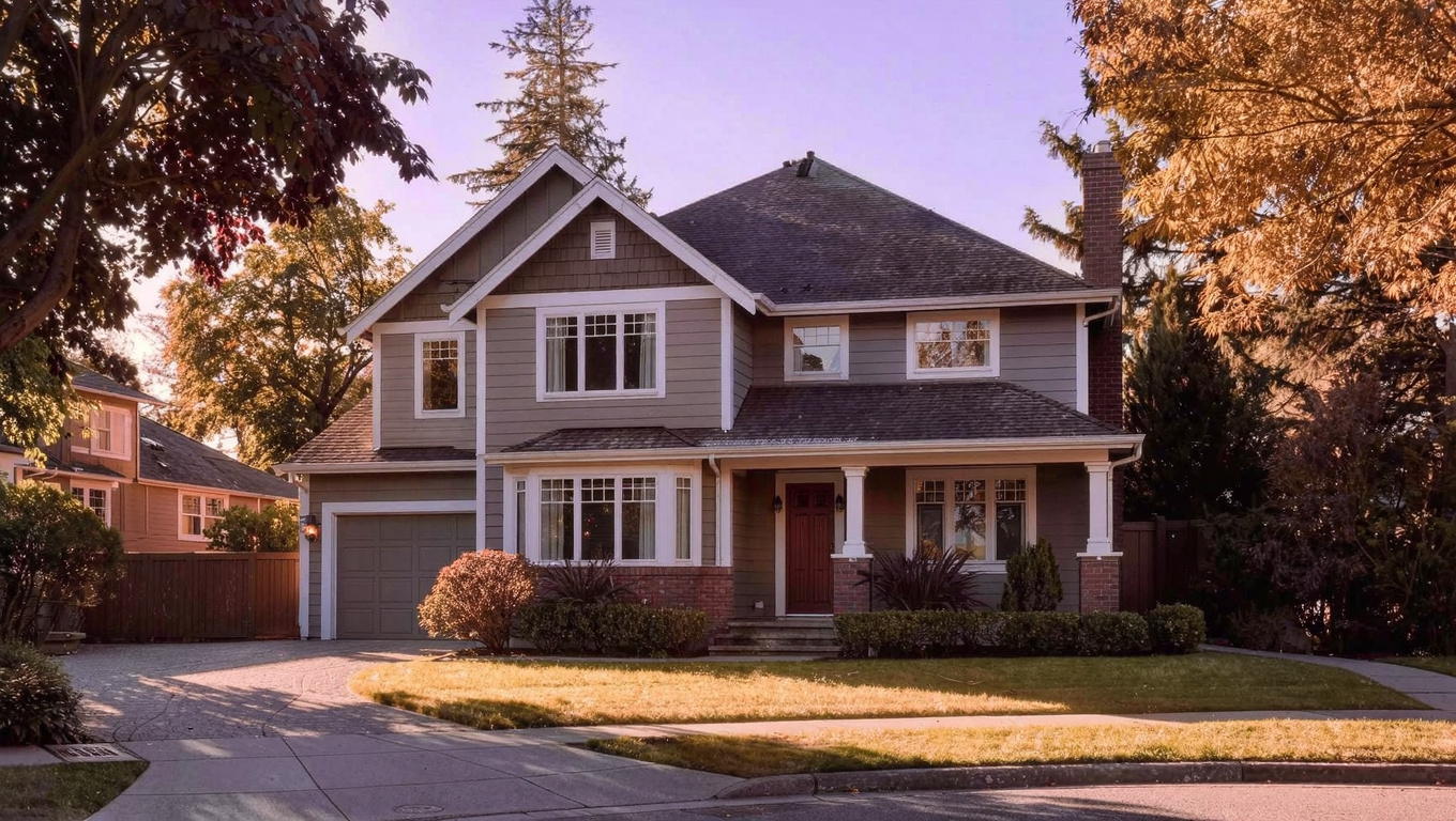
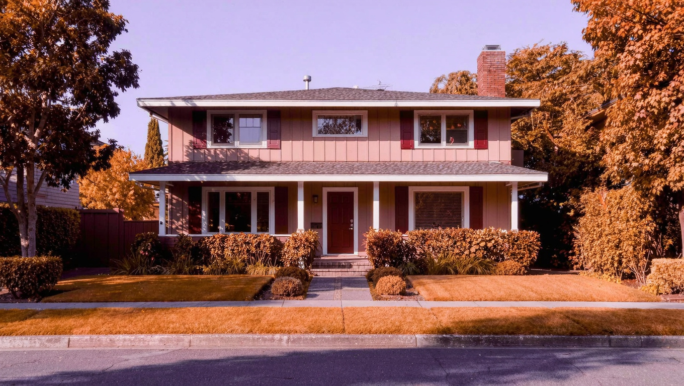
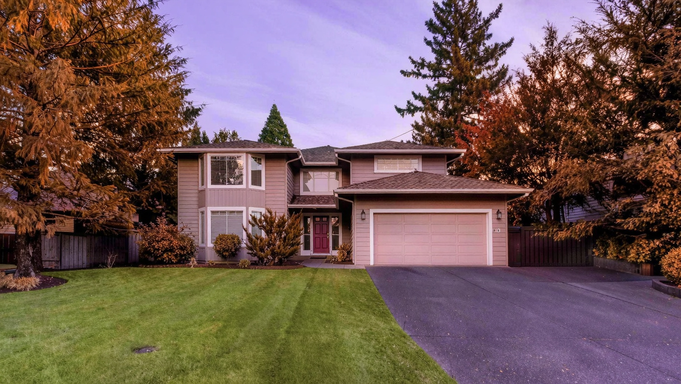
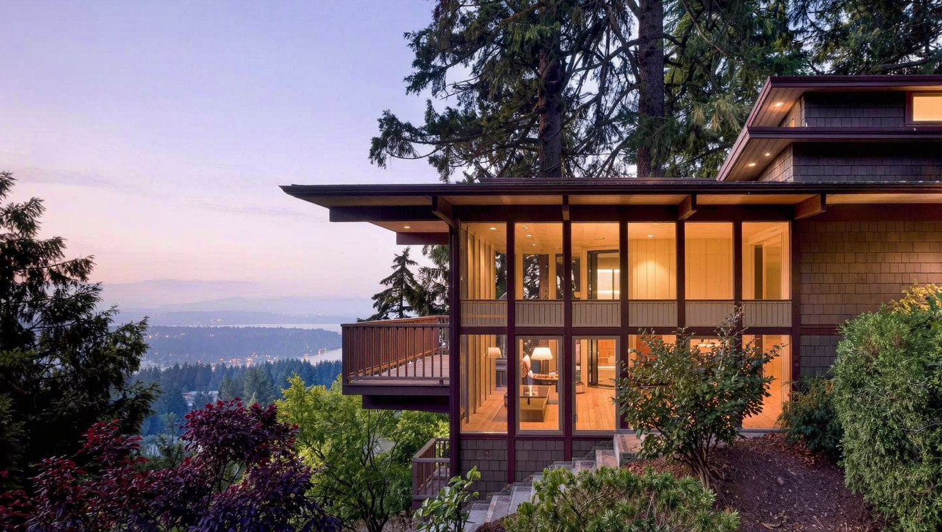
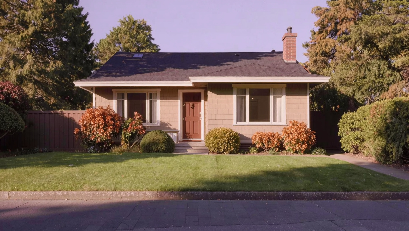
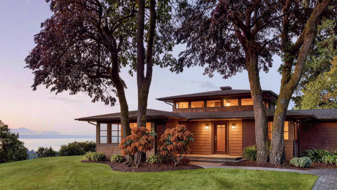
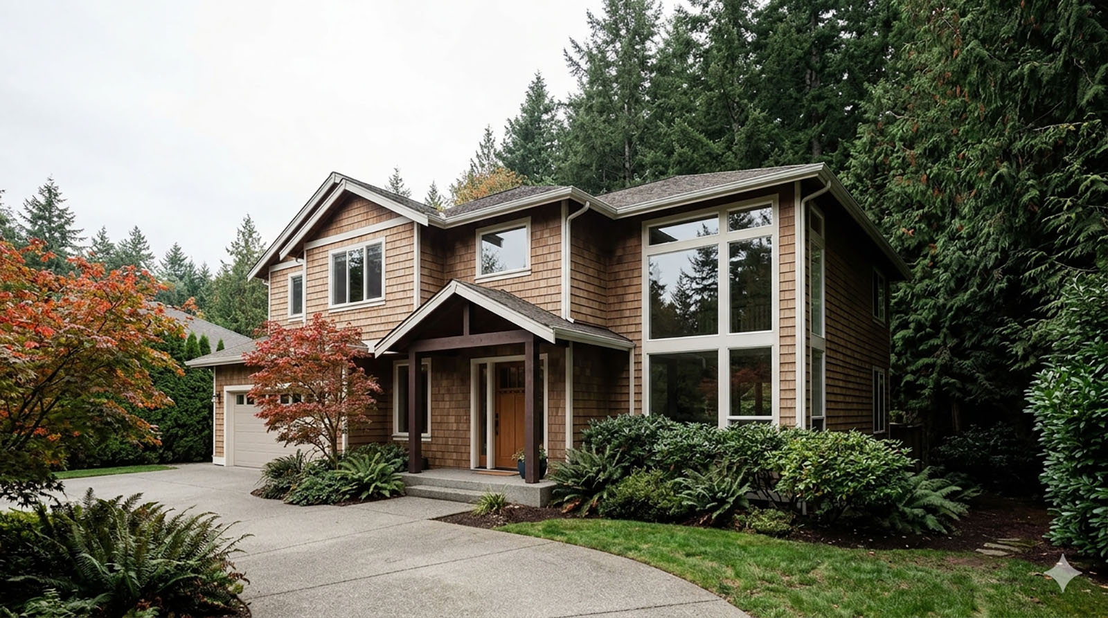
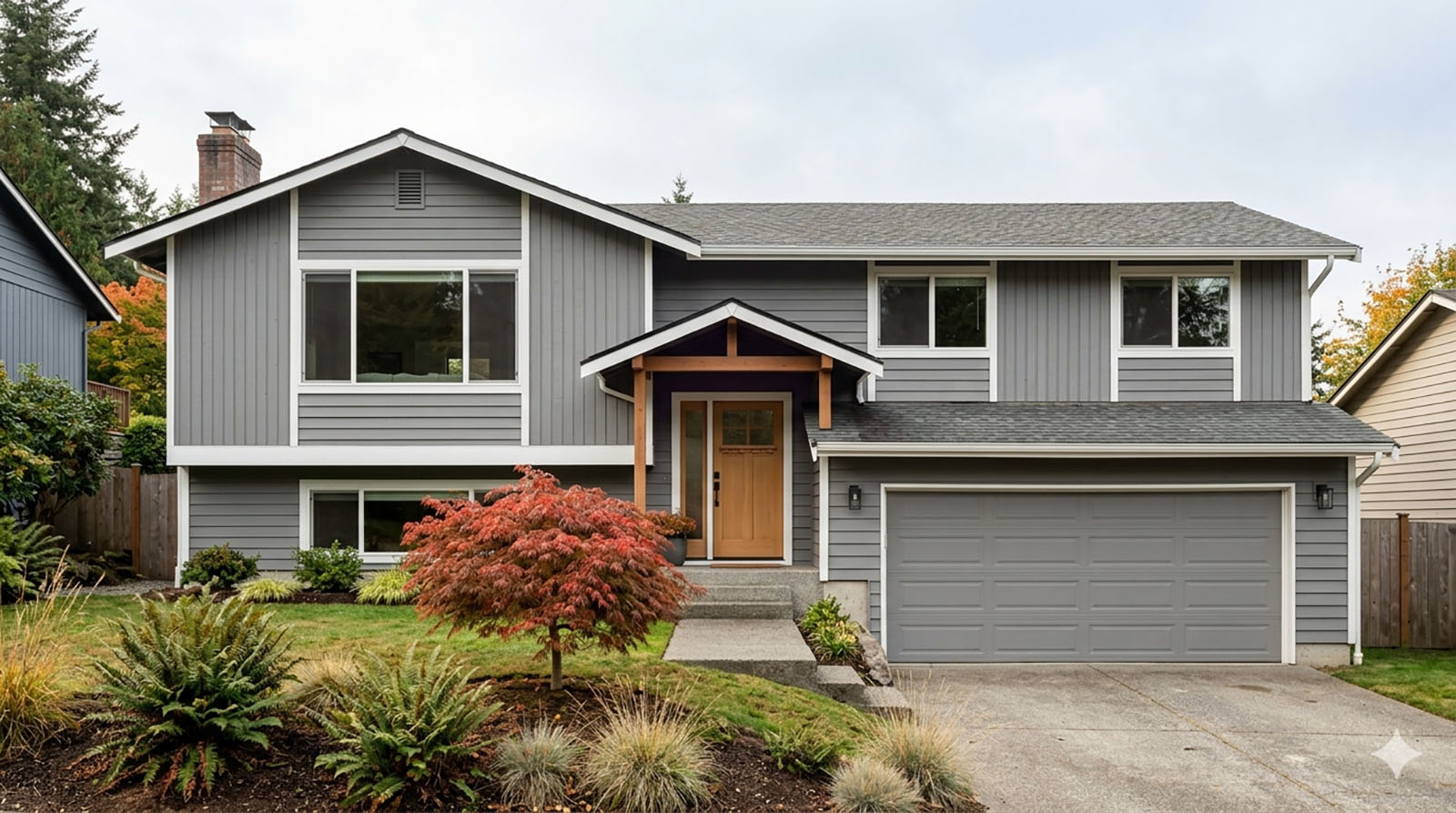
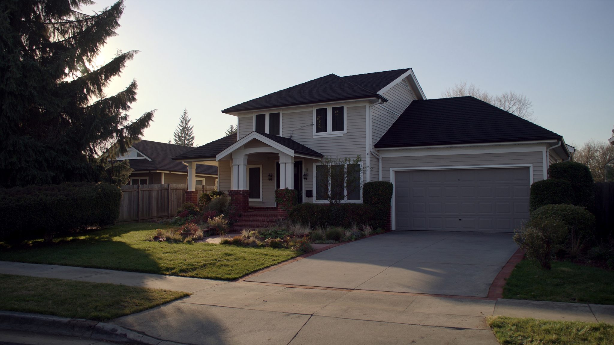
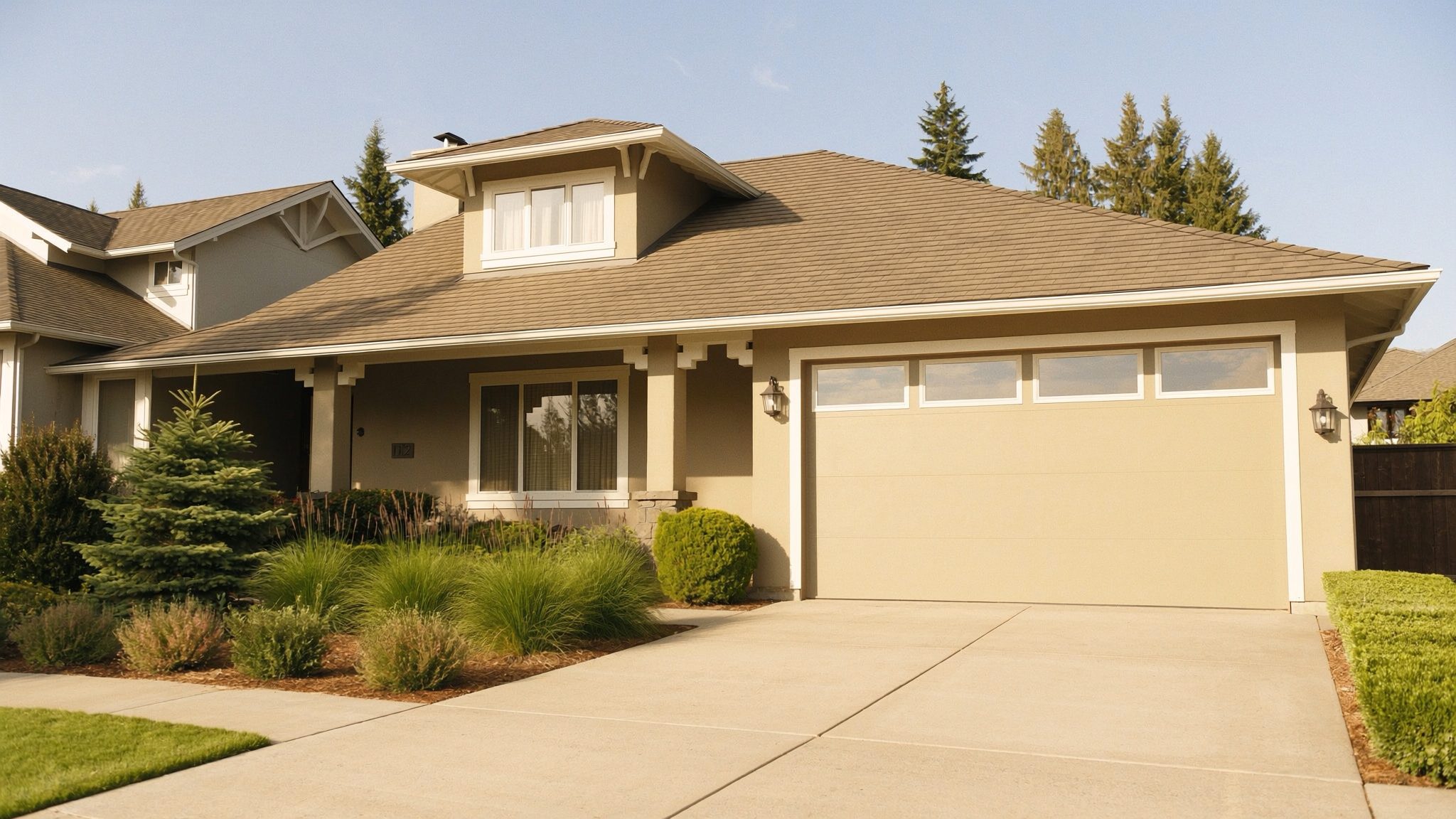
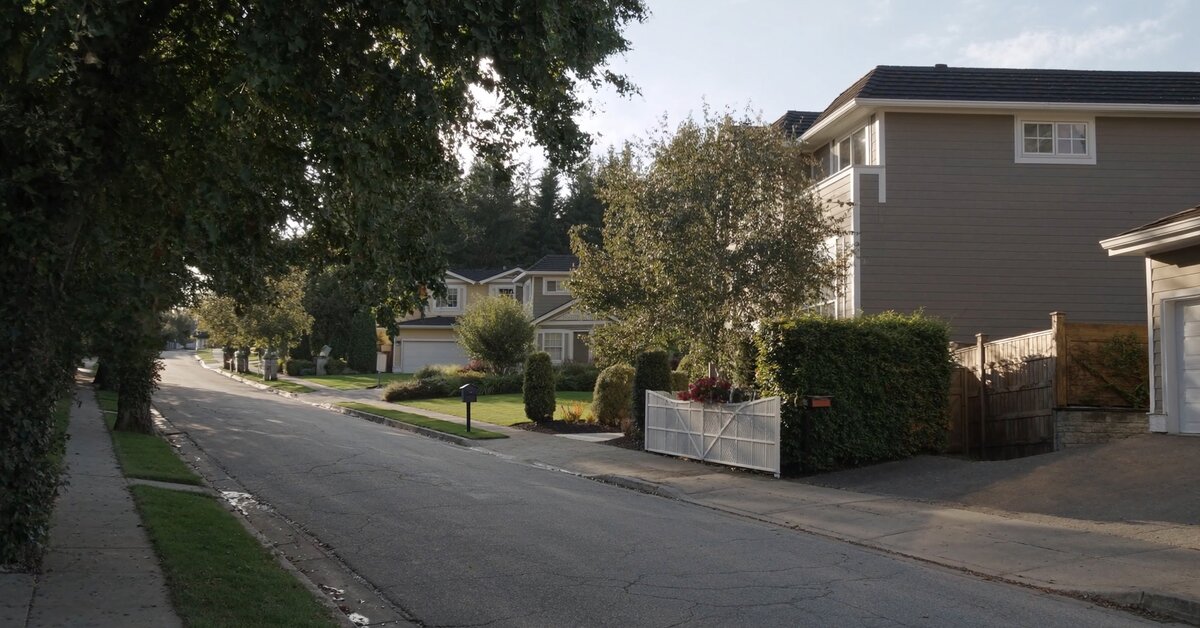
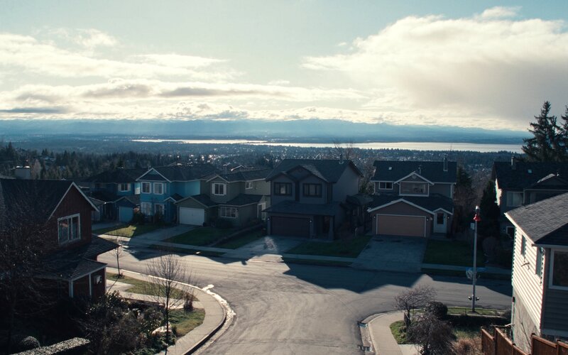
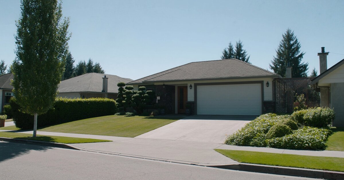
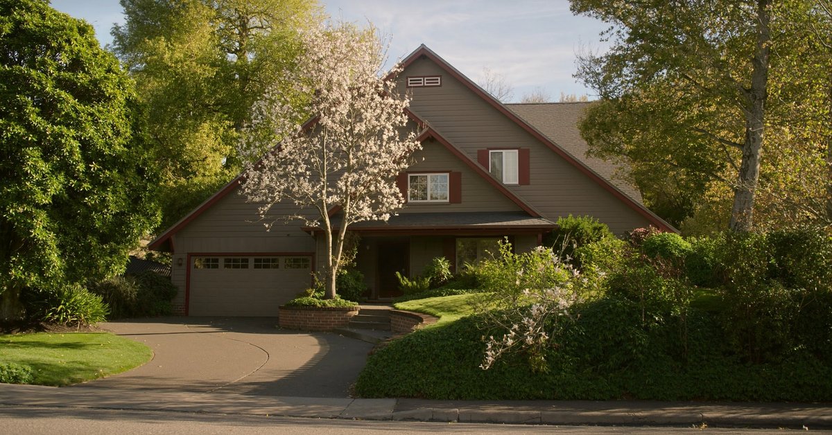
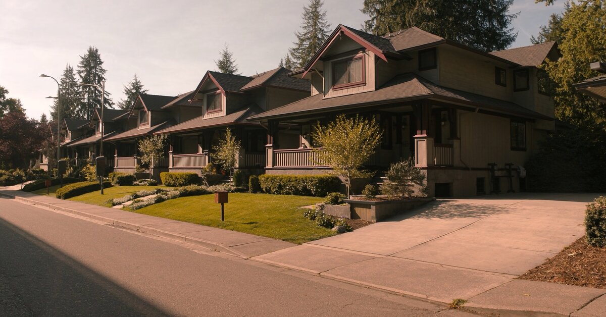
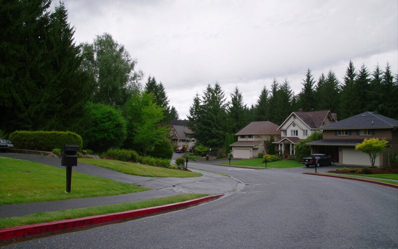
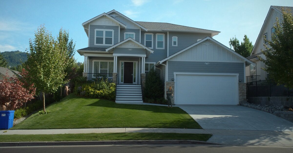
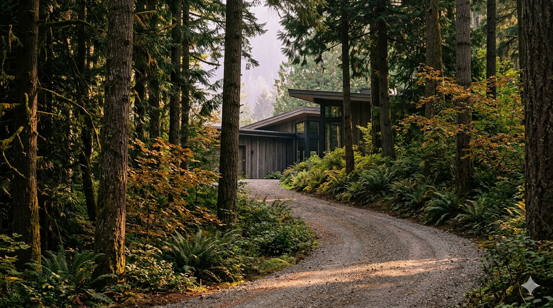
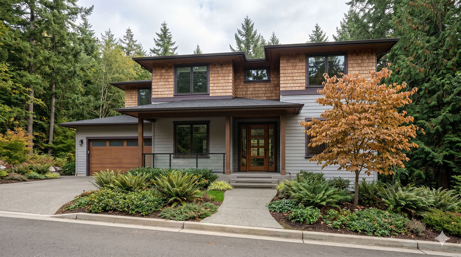
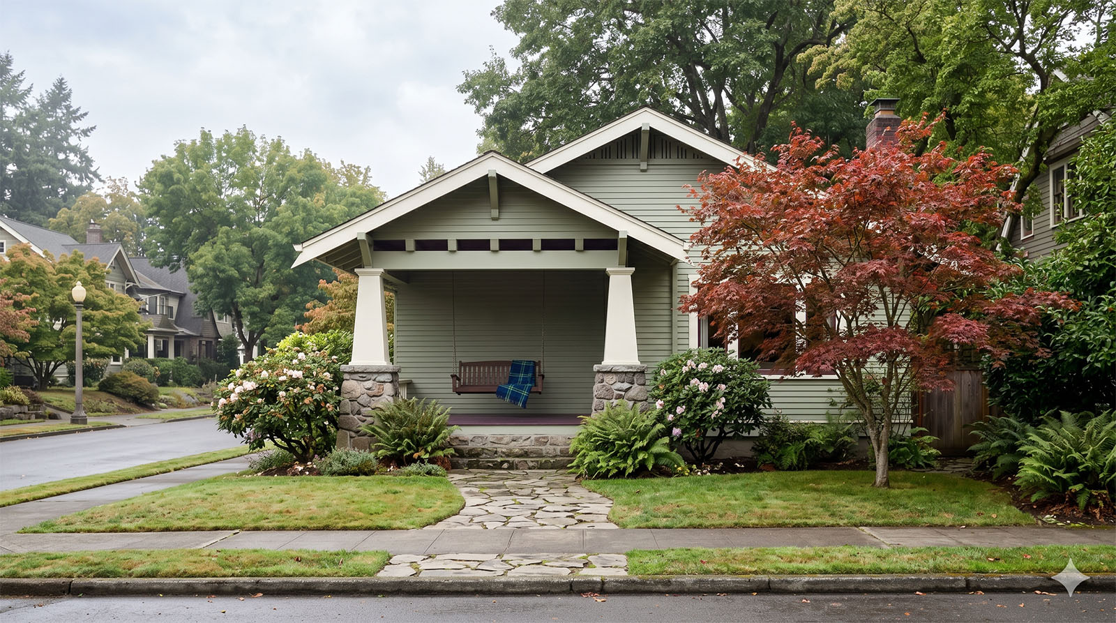
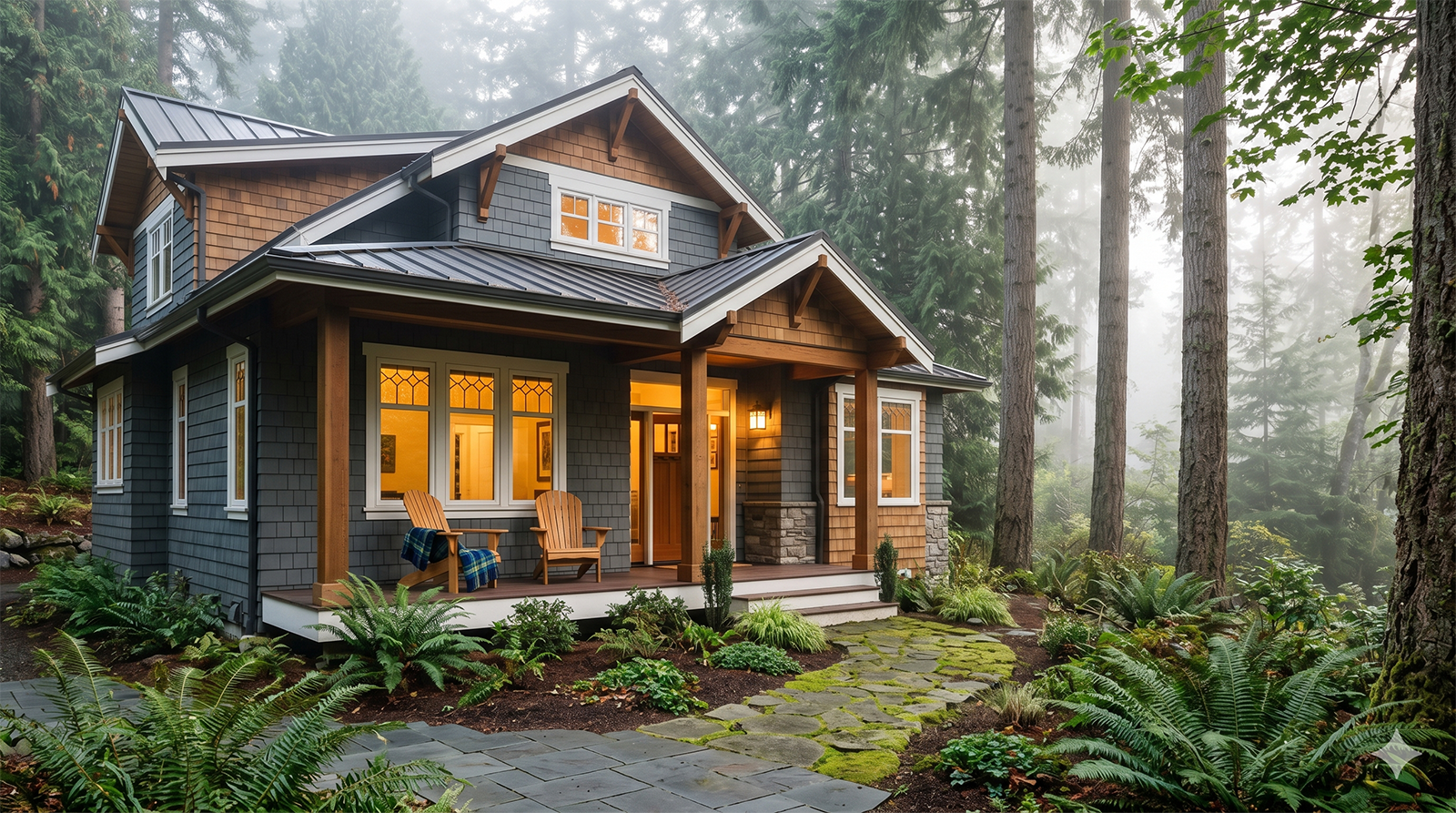
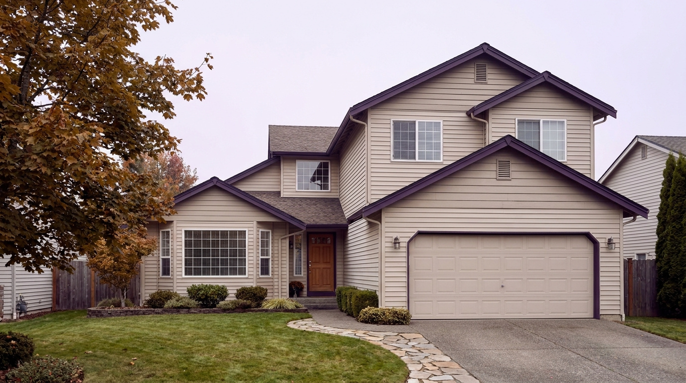
Large-lot single-family home exterior in Bridle Trails, Bellevue, Washington, representing 2026 real estate
Bridle Trails housing runs from 1970s through 1990s single-family homes on large wooded lots to newer custom builds on the neighborhood’s edges.

What I See as a Valuation Expert in Bridle Trails

When I price homes for institutional clients in Bridle Trails, lot size and usable flat acreage tend to drive value more than square footage alone. A half-acre or larger lot with level, buildable ground carries a real premium over a similarly priced home on a smaller or steeply sloped parcel, especially for buyers who want the option of horses or a future addition.

Tree cover and privacy matter here in a way they do not in Bellevue’s denser neighborhoods, but they cut both ways. Mature second-growth timber is part of the appeal, and I factor in how much of it a buyer would actually keep versus clear for usable yard. Homes with updated systems still command more than a comparable property needing work, but the lot itself carries more of the value equation here than in a typical suburban subdivision.

The properties that move first combine a larger, level lot with a confirmed Cherry Crest Elementary assignment and reasonable proximity to SR-520. Homes on smaller or heavily sloped lots, or with deferred maintenance and no path to expanded usable yard, tend to sit longer, since the buyer pool here specifically wants the acreage and privacy that define this neighborhood.

Frequently Asked Questions: Living in Bridle Trails, Bellevue

Q: Is Bridle Trails a good place to live?
A: Yes, especially if you want acreage, privacy, and direct access to a 28-mile trail system without leaving Bellevue. It is the city’s most wooded, semi-rural neighborhood, built around Bridle Trails State Park, with strong Bellevue School District schools throughout.

Q: What are homes like in Bridle Trails?
A: Almost entirely detached single-family homes on half-acre-plus lots, mostly built from the 1970s through the 1990s and ranging from about 2,500 to 5,000 square feet, with some newer construction on the edges. Very little condo or townhome inventory exists in the neighborhood’s core.

Q: What schools serve Bridle Trails?
A: The City of Bellevue names Cherry Crest Elementary School, rated 9/10 on GreatSchools, feeding into Chinook Middle School and then Interlake High School, ranked in the top 5 percent of Washington schools for test scores. Always confirm your specific address with the district.

Q: Is Bridle Trails the same as Rose Hill?
A: No. Rose Hill is a separate neighborhood in Kirkland, just north of Bridle Trails across the Bellevue city line. The two share a border and a state park, but Rose Hill sits in the Lake Washington School District, not the Bellevue School District that serves Bridle Trails.

Q: How far is Bridle Trails from Seattle?
A: About 10 miles. By car via SR-520, expect 25 to 40 minutes depending on traffic. There is no light rail station inside Bridle Trails, so a car-free commute means driving to a 2 Line station in downtown Bellevue first.

Explore Bridle Trails Yourself

Start at Bridle Trails State Park to walk the trail system that gives this neighborhood its name, then drive the surrounding streets to see the lot sizes and tree cover up close. Swing by the Bridle Trails Shopping Center on 116th Avenue NE for a sense of the commercial core, then loop toward 148th Avenue NE to see the SR-520 access connecting this wooded pocket to Seattle and Redmond. One slow drive tells you more than a stack of listing photos.


View Bridle Trails on Google Maps →

Your guide to life outside Seattle.

Gregory Dorrell | Coldwell Banker Bain | WA License #111862
253-350-0045  ·
greg@livingoutsideseattle.com  ·
www.livingoutsideseattle.com

BellevueBuyer ResourcesEastsideKing County Cities August 10, 2026

Living in West Bellevue, WA | 2026 Neighborhood Guide

What is it actually like to live in West Bellevue in 2026?

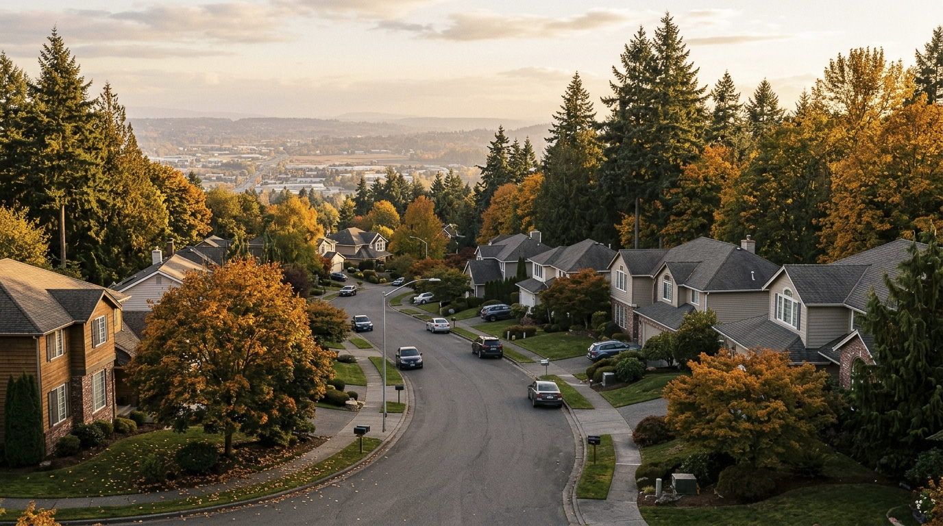
West Bellevue carries a Gated Luxury feel without the actual gates. This area runs between downtown Bellevue and the shore of Lake Washington, and it covers the towns of Medina, Clyde Hill, and Hunts Point. Some of the most expensive real estate in Washington State sits here, and the character reflects it. Large lots, mature landscaping, and long private driveways are the norm, not the exception. Medina and Hunts Point are technically their own incorporated cities, and Clyde Hill is too, but all three feel like one continuous neighborhood fabric that most locals just call West Bellevue.

On a Tuesday morning, the streets here stay quiet. There is no retail strip or transit crowd, just tree-lined lanes and the occasional dog walker heading toward Medina Beach Park. Commuters heading into downtown Bellevue or across SR-520 into Seattle tend to leave by car, since this area has no light rail station of its own. The pace is unhurried, which is part of the appeal for people who already spend their weekdays in a fast-moving tech job a few miles away.

Weekends center on the water and the yard. Medina Beach Park sees steady use for swimming and picnics in summer, and the 17-acre Medina Park draws families for its trails, playground, and ponds. Residents here skew toward established professionals, executives, and multi-generational families who have owned property in the area for decades. That is a different rhythm than Downtown Bellevue’s condo towers a few miles east, where the draw is walkability and a fast rail ride to Seattle rather than acreage and lake frontage.

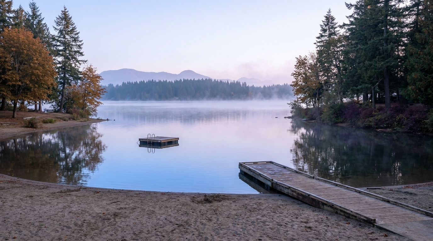
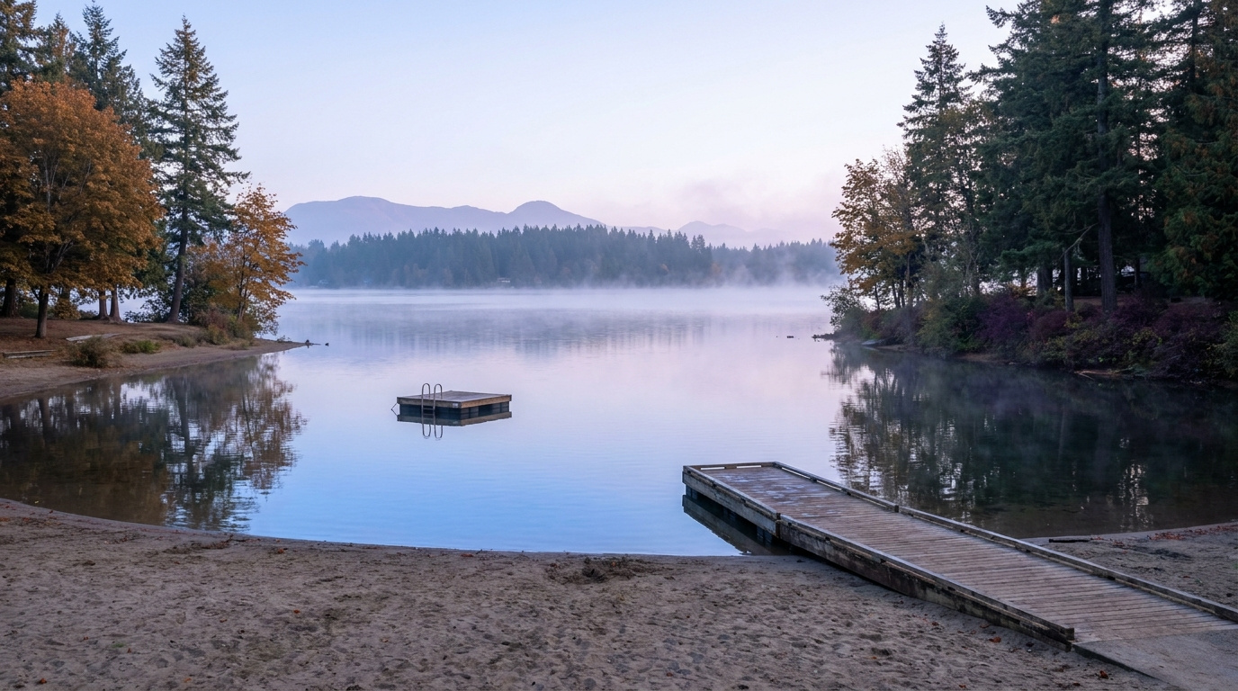
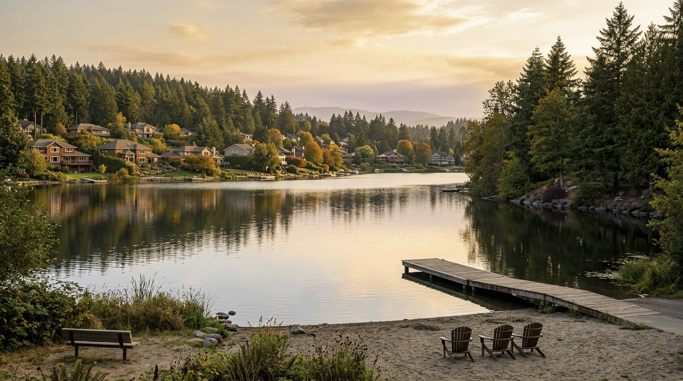
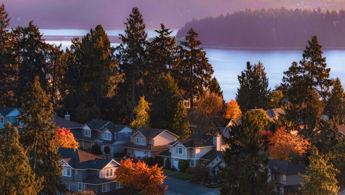
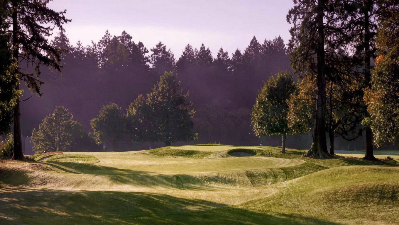
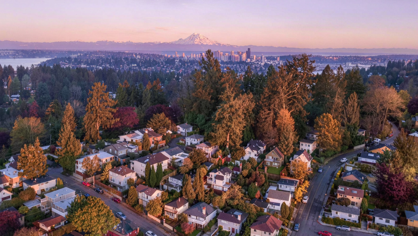
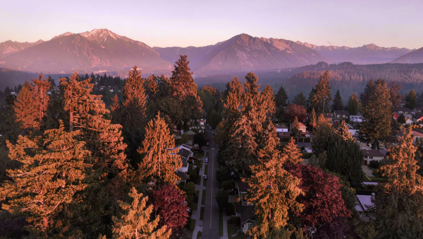
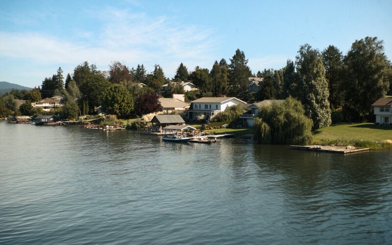
Medina Beach Park sandy shoreline on Lake Washington in West Bellevue with a dock and swim float
Medina Beach Park gives West Bellevue residents walk-in access to Lake Washington, with a dock, swim float, and views toward Mt. Rainier and the Seattle skyline.

Homes in West Bellevue: What the Data Shows

Housing in West Bellevue is almost entirely detached single-family, with very little condo or townhome inventory anywhere in Medina, Clyde Hill, or Hunts Point. Lots run large by Bellevue standards, often a quarter acre to a full acre or more, and many properties on the water side have direct or near-direct Lake Washington frontage. Homes range from a modest $2 million entry point for an older single-family property up to $10 million or more for a rebuilt lakefront estate. The architectural mix spans mid-century ramblers that have not yet been redeveloped alongside newer custom builds, and teardown-and-rebuild activity has been steady here for years given how little vacant land remains.

Data as of July 2026.

Market Pulse Bellevue (city) King County
Median Sales Price (July 2026) ~$1,830,000 ~$1,000,000
Median Days on Market ~13 days ~11 days
Active Listings Change (vs. Jan 2026) +215% +144%

Figures reflect city-level Bellevue residential data from the NWMLS-sourced monthly feed (InfoSparks, July 2026 pull) since Medina, Clyde Hill, and Hunts Point do not have their own separate MLS reporting areas. West Bellevue’s actual median runs well above the citywide figure shown here, since this table blends in more affordable Bellevue neighborhoods. Active listings change measures citywide inventory growth since January 2026, not a West Bellevue-specific count.

Schools Serving West Bellevue

West Bellevue sits inside the Bellevue School District’s West Zone, which the district defines as covering Medina, Clyde Hill, Hunts Point, Yarrow Point, and Beaux Arts along with the Enatai, Woodridge, and Wilburton areas closer to downtown. Elementary assignment splits by exact address between Medina Elementary School, at 8001 NE 8th Street in Medina, and Clyde Hill Elementary School, at 9601 NE 24th Street in Bellevue. Both are self-contained Advanced Learning schools, one of only four in the district, which is a genuine draw for families here.

From either elementary school, students move on to Chinook Middle School, physically located inside Clyde Hill at 2001 98th Avenue NE, before finishing at Bellevue High School, rated 10/10 on GreatSchools with a 91% graduation rate. The West Zone assignment to Bellevue High is consistent across Medina, Clyde Hill, and Hunts Point, but the elementary split between Medina and Clyde Hill Elementary does vary block by block, so I always confirm the specific elementary with the district before a client makes an offer.

In practical terms, most West Bellevue families drive or bus their kids to elementary school given the spread-out, low-density street pattern here. Middle and high schoolers have a straightforward trip to Chinook and Bellevue High, both sitting closer to the geographic center of the West Zone than out on its edges.

Getting to Work from West Bellevue

There is no direct freeway interchange inside Medina or Hunts Point, so most trips start with local streets before reaching SR-520 at the 92nd Avenue NE half-diamond interchange between Yarrow Point and Clyde Hill. From there, SR-520 carries you west across the Evergreen Point Floating Bridge into Seattle or east into downtown Bellevue in a few minutes. There is no light rail station inside West Bellevue itself, so anyone wanting the 2 Line needs to drive to Bellevue Downtown Station or South Bellevue Station first.

Destination Distance 2026 Peak Commute Transit Option
Downtown Seattle 8 miles 20-35 min drive SR-520 direct, or drive to 2 Line
Amazon (South Lake Union) 9 miles 20-35 min drive SR-520 direct
Microsoft (Redmond) 6 miles 12-20 min drive SR-520 east
Bellevue Tech Corridor 3-5 miles 10-15 min drive Drive, then 2 Line if desired
SeaTac Airport 20 miles 35-50 min drive I-405 South via Bellevue

West Bellevue is a driving neighborhood. If a car-free commute matters to you, Downtown Bellevue or a neighborhood closer to a 2 Line station will serve you better than Medina, Clyde Hill, or Hunts Point.

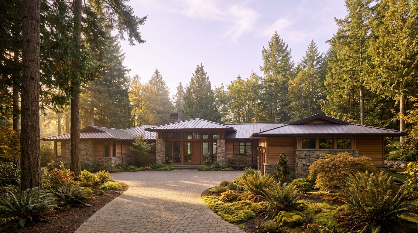
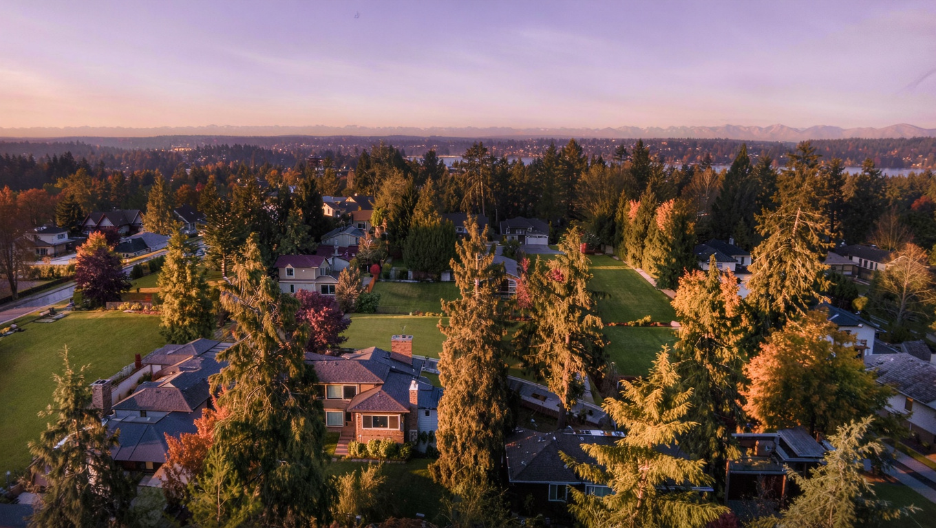
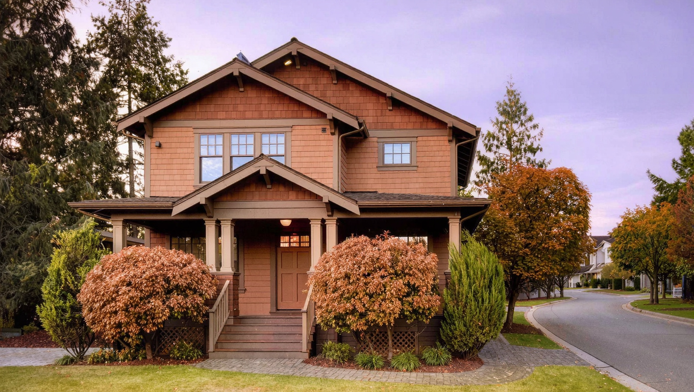
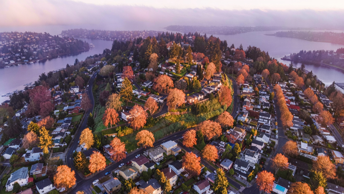
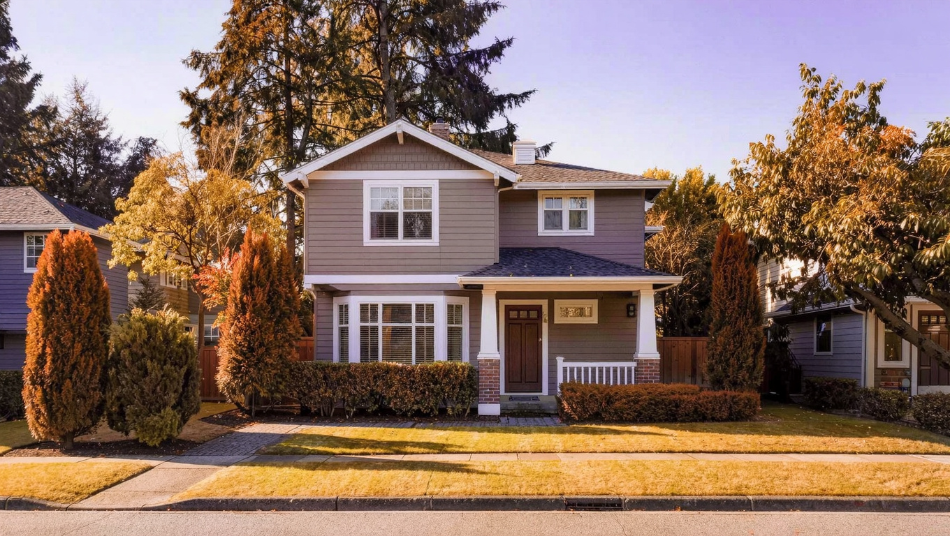
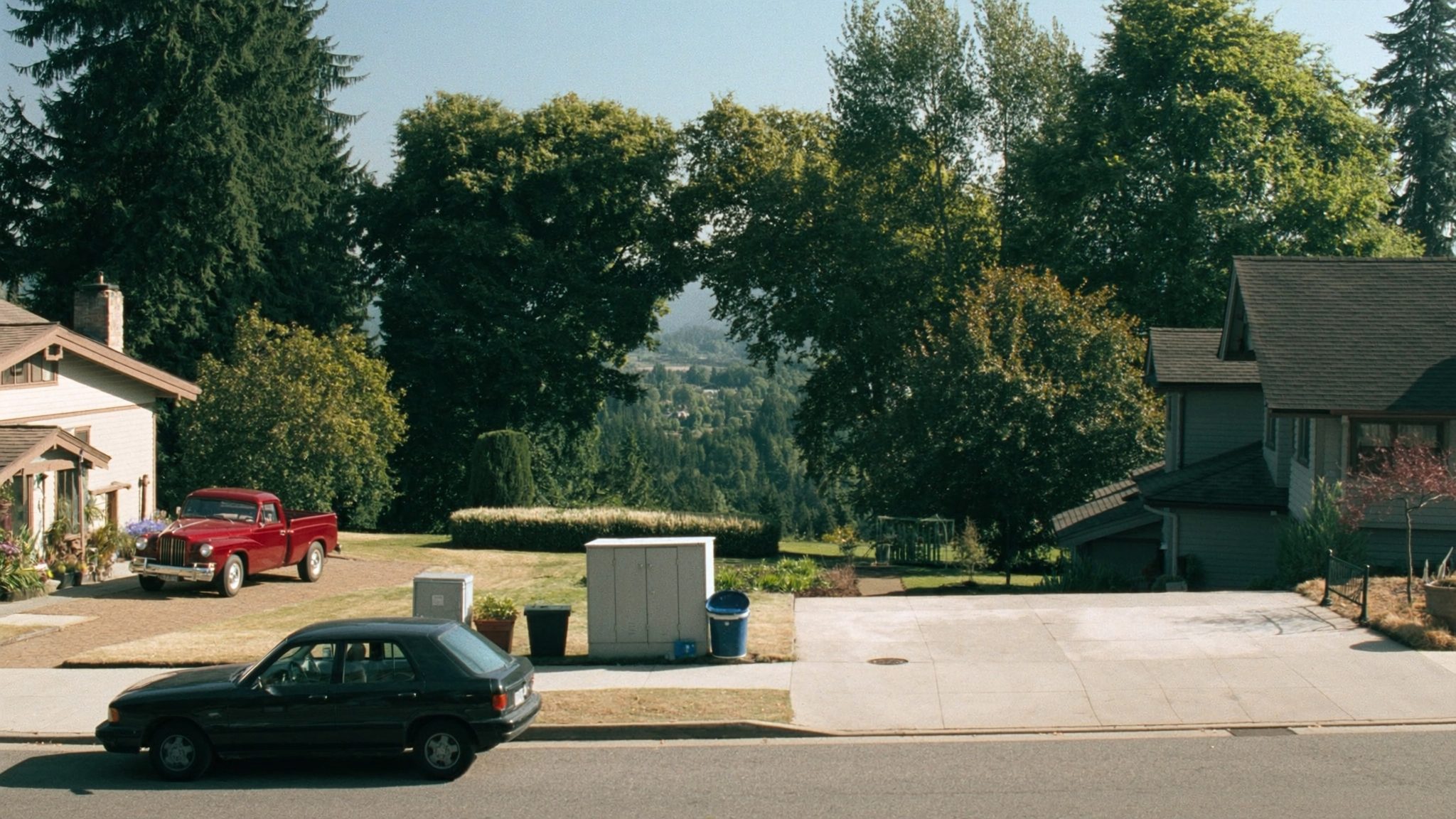
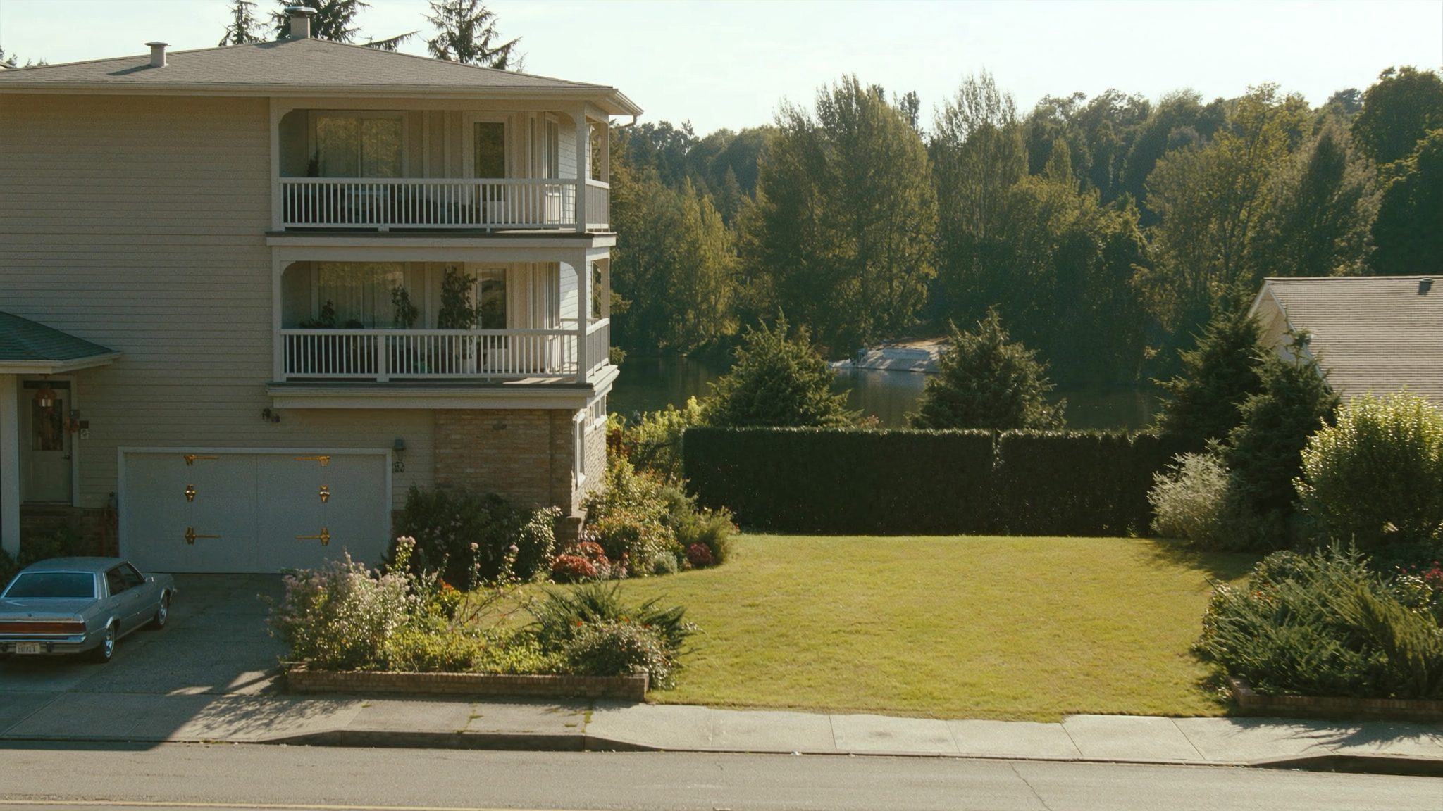
West Bellevue single-family lakefront-area home exterior representing 2026 real estate in Medina and Clyde Hill
West Bellevue’s housing stock runs from established mid-century homes to newer custom rebuilds on large, mature lots.

What I See as a Valuation Expert in West Bellevue

When I price homes for institutional clients in West Bellevue, lot size and lake proximity drive value more than almost any other factor. Direct waterfront and lake view lots command a premium that has little to do with the house sitting on them, since so many buyers here plan to rebuild anyway. Lot shape, southern exposure, and how much usable flat yard exists after accounting for setbacks all factor into how I assess a parcel here.

Condition and systems matter less than in most neighborhoods, simply because a large share of purchases in Medina and Clyde Hill are effectively land value plays with an eventual teardown in mind. Curb appeal still counts, especially for buyers who plan to live in the existing home for a while before rebuilding, but I weight the lot itself heavily when I am assessing what a property is really worth here.

The properties that move first in West Bellevue combine a larger, flatter lot with either lake proximity or a confirmed Medina Elementary or Clyde Hill Elementary assignment. Smaller lots on busier streets, or homes with significant deferred maintenance and no clear rebuild upside, tend to sit longer even at a discounted price, because the buyer pool here is narrower and more selective than in Bellevue’s more typical neighborhoods.

Frequently Asked Questions: Living in West Bellevue, WA

Q: Is West Bellevue a good place to live?
A: Yes, especially if you want privacy, a large lot, and lake proximity within a short drive of downtown Bellevue and Seattle. West Bellevue covers Medina, Clyde Hill, and Hunts Point, three of the most established and expensive residential areas in King County, with top-ranked Bellevue School District schools throughout.

Q: What are homes like in West Bellevue?
A: Almost entirely detached single-family homes on quarter-acre-plus lots, ranging from around $2 million for an older, unrenovated property up to $10 million or more for a rebuilt lakefront estate. There is very little condo or townhome inventory anywhere in Medina, Clyde Hill, or Hunts Point.

Q: What schools serve West Bellevue?
A: The Bellevue School District’s West Zone serves Medina, Clyde Hill, and Hunts Point. Elementary assignment splits between Medina Elementary and Clyde Hill Elementary depending on exact address, both feeding into Chinook Middle School and then Bellevue High School, rated 10/10 on GreatSchools.

Q: How far is West Bellevue from Seattle?
A: About 8 miles. By car via SR-520 across the Evergreen Point Floating Bridge, expect 20 to 35 minutes depending on traffic. There is no light rail station inside West Bellevue itself, so a car-free commute means driving to a 2 Line station in downtown Bellevue first.

Explore West Bellevue Yourself

Start at Medina Beach Park to see the lake access that makes this area what it is, then drive the quiet streets of Clyde Hill to get a feel for the lot sizes and setbacks. Loop past Medina Park for the trails and playground, and finish along Evergreen Point Road to see the SR-520 access that connects this neighborhood to both Seattle and downtown Bellevue. One slow drive tells you more than a stack of listing photos ever will.


View West Bellevue on Google Maps →

Your guide to life outside Seattle.

Gregory Dorrell | Coldwell Banker Bain | WA License #111862
253-350-0045  ·
greg@livingoutsideseattle.com  ·
www.livingoutsideseattle.com

BellevueBuyer ResourcesEastsideKing County Cities August 4, 2026

Living in Downtown Bellevue, WA | 2026 Neighborhood Guide

What is it actually like to live in Downtown Bellevue in 2026?

Downtown Bellevue carries a Walkable Urban Edge feel that is genuinely rare on the Eastside. This is the neighborhood inside Downtown Bellevue, the city’s high-rise core built around Bellevue Way and NE 8th Street, and 2026 has been a turning point for it. The 2 Line light rail opened here in March, connecting the neighborhood to downtown Seattle in about 25 minutes without a car. That single change has pulled in buyers who used to look only at Seattle condos because they wanted transit and gave up on the space and schools that come with the Eastside. Now they do not have to choose.

On a Tuesday morning, the sidewalks along Bellevue Way fill up early. Commuters walk toward the light rail entrance near City Hall, coffee in hand, while others head the opposite direction toward the tech offices that anchor the neighborhood’s daytime population. Bellevue Downtown Park opens half an hour before sunrise and the loop around the promenade gets steady foot traffic before the workday starts. It is a different rhythm than the rest of Bellevue. Nobody is warming up a car in a driveway here. People are walking.

Weekends shift the neighborhood’s center of gravity toward Lincoln Square and Bellevue Square, both a few blocks apart with restaurants, shops, and a movie theater that draw people in from across the Eastside. Downtown Park hosts farmers markets and community events through the summer. The residents here skew toward professionals and empty nesters who have traded a yard for an elevator, plus a growing number of remote and hybrid workers who picked the neighborhood specifically for the light rail option. That is different from Bellevue’s residential neighborhoods like Somerset or Bridle Trails, where the draw is space and schools rather than walkability.

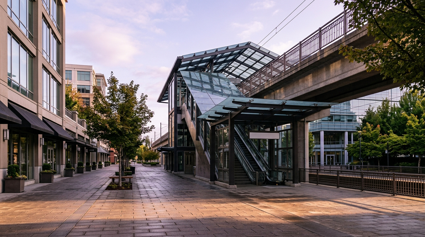
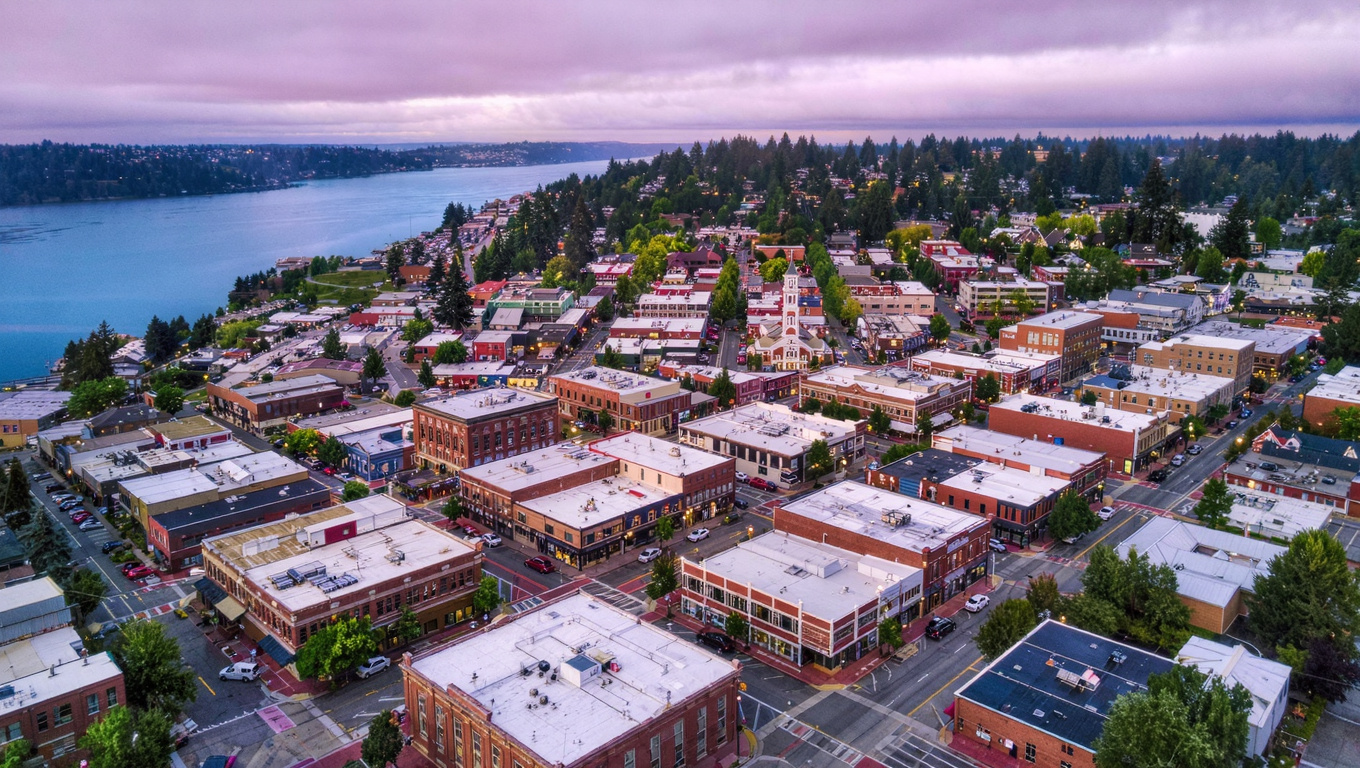
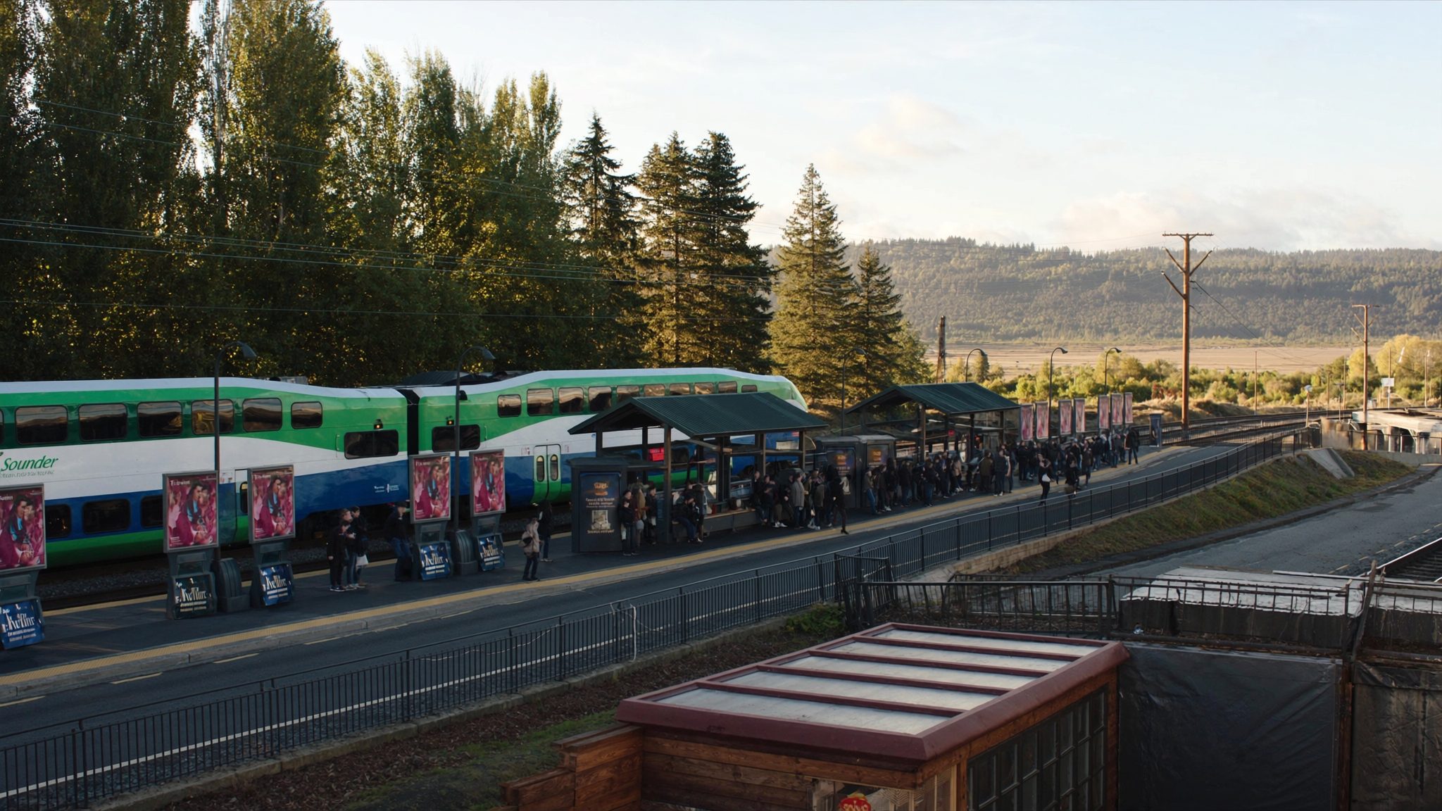
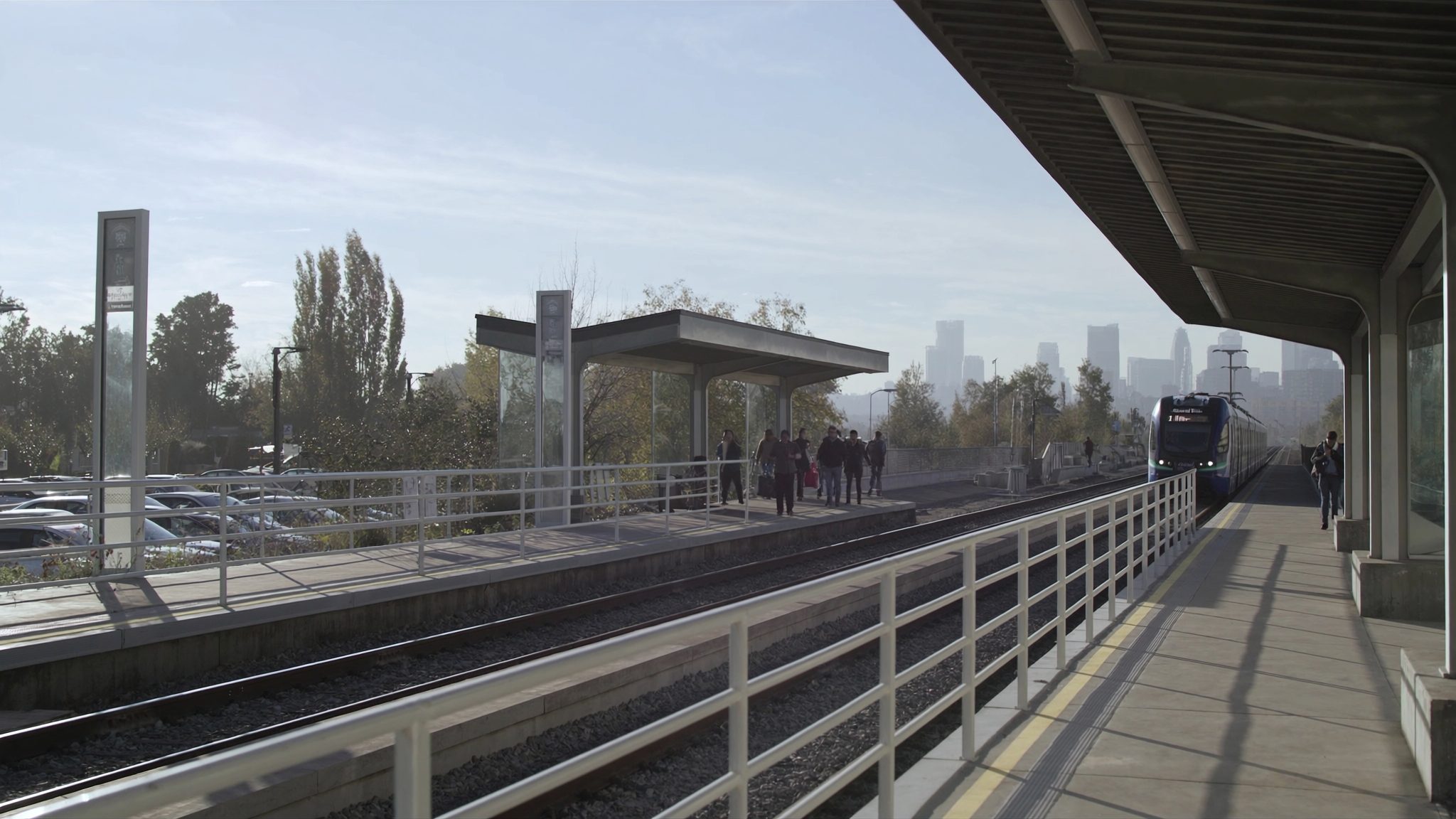
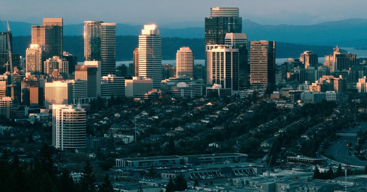
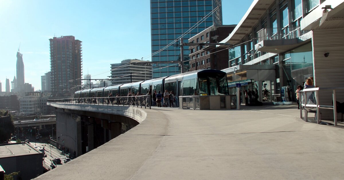
Downtown Bellevue light rail station entrance near Bellevue City Hall with pedestrians walking to the platform
The Bellevue Downtown Station opened in March 2026, putting a 25-minute rail ride to Seattle within walking distance of most Downtown Bellevue addresses.

Homes in Downtown Bellevue: What the Data Shows

Housing in Downtown Bellevue is overwhelmingly condos and high-rise apartments, with a handful of townhomes on the edges near Wilburton. Units range from studio and one-bedroom layouts in the mid-$600,000s up to penthouse-level homes at $3 million and above. Buildings here run from older 1990s and 2000s mid-rises to newer towers built in the last five years with amenity floors, concierge service, and secure parking. Square footage tends to run 700 to 2,000 square feet, smaller than what you would find in Bellevue’s single-family neighborhoods, but the tradeoff is location. This is the only part of Bellevue where you can walk to a light rail platform, a grocery store, and a park all inside ten minutes.

Data as of July 2026.

Market Pulse Bellevue (city) King County
Median Sales Price (July 2026) ~$1,830,000 ~$1,000,000
Median Days on Market ~13 days ~11 days
Active Listings Change (vs. Jan 2026) +215% +144%

Figures reflect city-level Bellevue residential data from the NWMLS-sourced monthly feed (InfoSparks, July 2026 pull) since Downtown Bellevue does not have its own separate MLS reporting area. Condo-specific pricing in the neighborhood itself tends to run below the citywide single-family median shown here. Active listings change measures city inventory growth since January 2026, not a Downtown-specific count.

Schools Serving Downtown Bellevue

Downtown Bellevue sits inside the Bellevue School District, and the middle and high school assignment is consistent across the neighborhood. Students attend Chinook Middle School, then move on to Bellevue High School, rated 10/10 on GreatSchools. The elementary assignment is the one piece that genuinely varies by exact address here. The district has been actively redrawing elementary boundaries around downtown, Wilburton, and the Spring District as new development adds households to the area, so the specific elementary school for a given address can differ block to block and can change again as those boundary lines get finalized.

Chinook Middle School consistently ranks in the top 20% of Washington middle schools and sends the large majority of its students on to Bellevue High, which posts a 91% graduation rate and an average SAT score of 1360. Because the elementary boundary is in motion, I never guess at a specific elementary name for a Downtown Bellevue address. I check the district’s own School Locator tool for every client, every time, because a wrong assumption here is worse than an honest “let’s verify.”

In practical terms, families with elementary-age kids in Downtown Bellevue are typically within a short drive or a district bus ride of their assigned school, whichever one that turns out to be. Middle and high schoolers walk or bike to Chinook and Bellevue High from most Downtown Bellevue addresses, both being a reasonable distance from the neighborhood’s core.

Getting to Work from Downtown Bellevue

Take the 2 Line from Bellevue Downtown Station and Seattle is about 25 minutes away with no traffic to worry about. That is the headline change for this neighborhood in 2026. For anyone not using rail, NE 8th Street and 112th Avenue NE both connect quickly to I-405, putting the rest of the Eastside within easy reach.

Destination Distance 2026 Peak Commute Transit Option
Downtown Seattle 10 miles 25 min rail / 45-60 min drive 2 Line light rail, walk to station
Amazon (South Lake Union) 12 miles 30 min rail / 45-55 min drive 2 Line to Capitol Hill transfer
Microsoft (Redmond) 8 miles 15-25 min drive / 20 min rail SR-520 or 2 Line east
SeaTac Airport 15 miles 25-40 min drive / 45 min rail I-405 South or 2 Line to 1 Line

Trains run every 8 to 10 minutes during peak hours. Downtown Bellevue is the only neighborhood in the city where most addresses are within walking distance of the platform itself, no drive or bus connection needed.

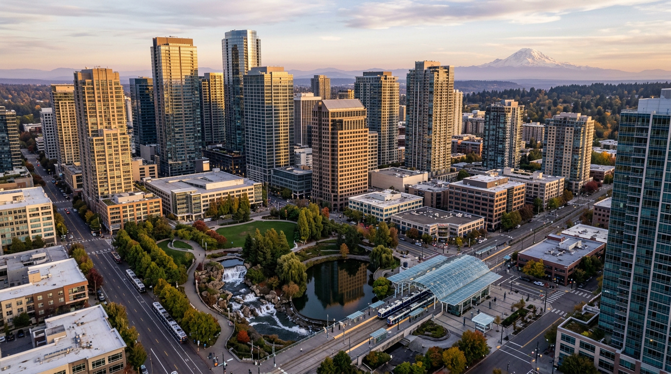
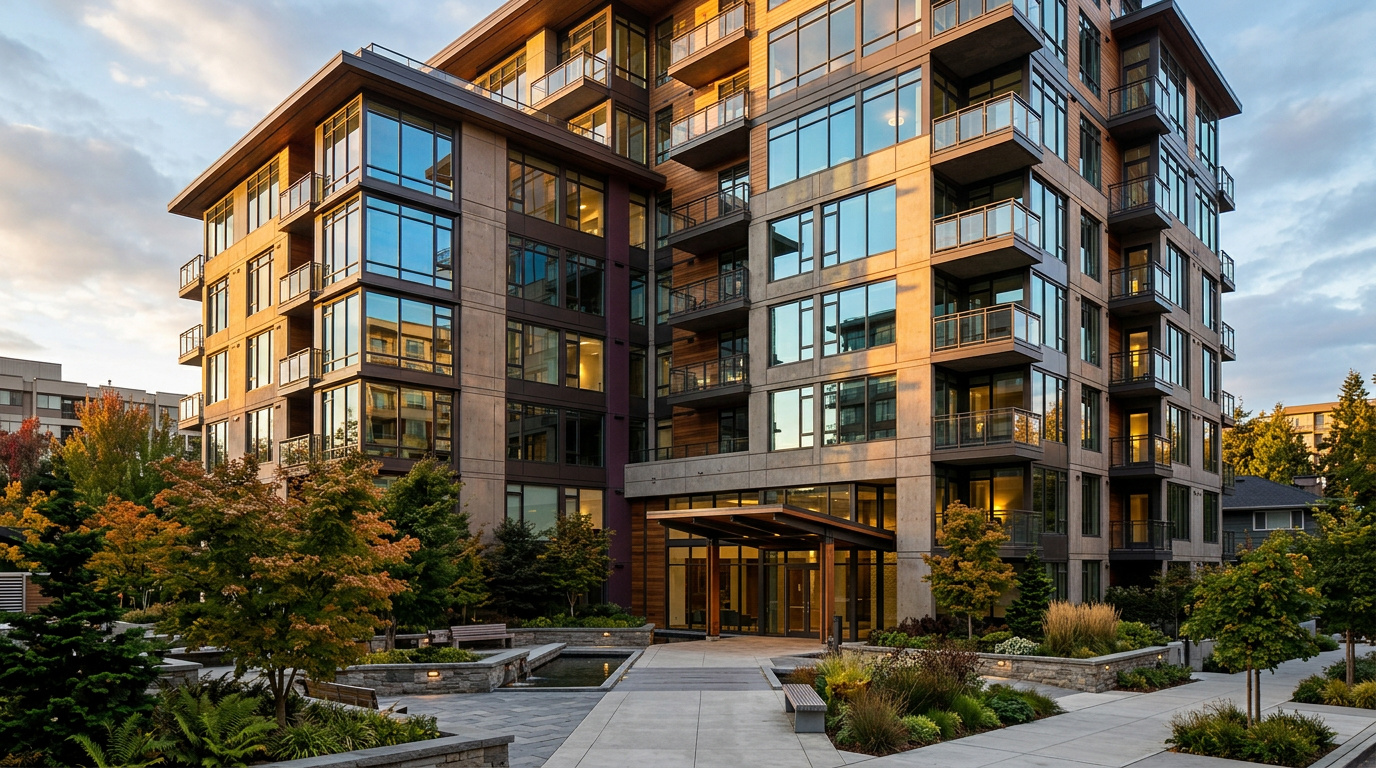
Downtown Bellevue high-rise condominium building exterior representing 2026 real estate in the neighborhood
Downtown Bellevue’s housing stock runs from established mid-rises to newer towers with amenity floors and secure parking.

What I See as a Valuation Expert in Downtown Bellevue

When I assess condos here for institutional lenders, floor level and view corridor drive value more than almost anything else in the building. A unit on floor 12 with an unobstructed view toward the Cascades or Lake Washington typically commands a real premium over an identical floor plan two floors down facing another building. HOA dues and reserve fund health matter just as much as square footage in this neighborhood, since you are buying into a shared building, not just a unit.

Buildings with strong reserve funds and recent capital improvements hold value better through a soft patch in the market than buildings deferring maintenance to keep dues low. I always pull the HOA financials and recent meeting minutes before pricing a unit here. A low monthly due on paper can mean a large special assessment is coming, and that changes the real cost of ownership.

The units that move first in this neighborhood combine a walkable location to the light rail station, a healthy HOA, and updated interior finishes. Older buildings with dated kitchens and baths sit longer, even at a lower price per square foot, because buyers here are often willing to pay more for turnkey rather than take on a renovation inside an HOA-governed building.

Frequently Asked Questions: Living in Downtown Bellevue, WA

Q: Is Downtown Bellevue a good place to live?
A: Yes, especially if you want a walkable urban lifestyle with direct light rail access to Seattle. Downtown Bellevue combines shopping, dining, and a 21-acre park with the fastest transit commute of any Bellevue neighborhood, though homes here are almost all condos rather than single-family houses.

Q: What are homes like in Downtown Bellevue?
A: Mostly condos and high-rise units ranging from 700 to 2,000 square feet, priced from the mid-$600,000s to $3 million and up for penthouse-level units. Buildings range from established 1990s and 2000s mid-rises to newer towers with amenity floors and concierge service.

Q: What schools serve Downtown Bellevue?
A: The Bellevue School District serves this neighborhood. Middle and high school assignment is consistent (Chinook Middle School, then Bellevue High School), but elementary assignment varies by exact address as the district redraws boundaries around downtown and the Spring District. Always verify with the district’s School Locator tool.

Q: How far is Downtown Bellevue from Seattle?
A: About 10 miles. By car on I-90 during peak hours, expect 45 to 60 minutes. By the 2 Line from Bellevue Downtown Station, the ride to Seattle’s Westlake Station takes about 25 minutes, consistently faster than driving at rush hour.

Explore Downtown Bellevue Yourself

Walk Bellevue Way from Lincoln Square to Bellevue Square, then cut through Downtown Park to see the waterfall and the promenade. Finish at the Bellevue Downtown Station to see the platform that changed this neighborhood’s commute story in 2026. One walk covers most of what makes this area different from the rest of the city.


View Downtown Bellevue on Google Maps →

Your guide to life outside Seattle.

Gregory Dorrell | Coldwell Banker Bain | WA License #111862
253-350-0045  ·
greg@livingoutsideseattle.com  ·
www.livingoutsideseattle.com

Buyer ResourcesFederal WayKing County CitiesSouth King County August 2, 2026

Living in Brittany Lane, Federal Way | 2026 Guide

Brittany Lane sits in the far south end of Federal Way, just north of the Milton city line, in the pocket of streets around 1st Ave S and S 330th St. Local listings sometimes group this pocket with the broader “Villages” naming used by nearby developments, though Brittany Lane itself is the neighborhood with an active HOA and a name residents actually use. Homes here went in mostly from the mid 1990s through the 2000s, and the streets have that settled, established feel: mature trees, consistent setbacks, and an HOA that keeps the common areas looking the same from block to block. It is not flashy. It is the kind of neighborhood people buy into because it works, day after day, without much drama.

What is it actually like to live in Brittany Lane in 2026?

On a weekday morning, Brittany Lane moves at the pace of a working residential street. Garage doors open early, cars head north toward Military Road or west toward I-5, and the neighborhood settles into a quiet stretch by mid morning that holds through most of the day. The HOA keeps the shared landscaping consistent, so the streets look the same in February as they do in August, which is part of the appeal for buyers who want predictability over flash.

Weekends bring more visible activity. Families load up for Celebration Park a short drive north, where the sports fields stay busy most of the year with youth leagues and pickup games. Others stick closer to home, since Brittany Lane’s own streets are wide enough and quiet enough for an easy walk or bike ride without leaving the neighborhood. Being this close to the Milton border also means residents cross freely between the two cities for errands, since the practical boundary on the ground barely registers day to day.

Who lives here tends to be buyers priced out of the tighter Eastside markets but unwilling to give up an established, HOA-managed street. Brittany Lane draws a mix of first move-up buyers and longer-tenured owners who bought when prices were lower and have stayed because the neighborhood has held its character. It is a different crowd than the newer-construction pockets closer to downtown Federal Way. This is an older, settled street pattern, not a builder-fresh subdivision.
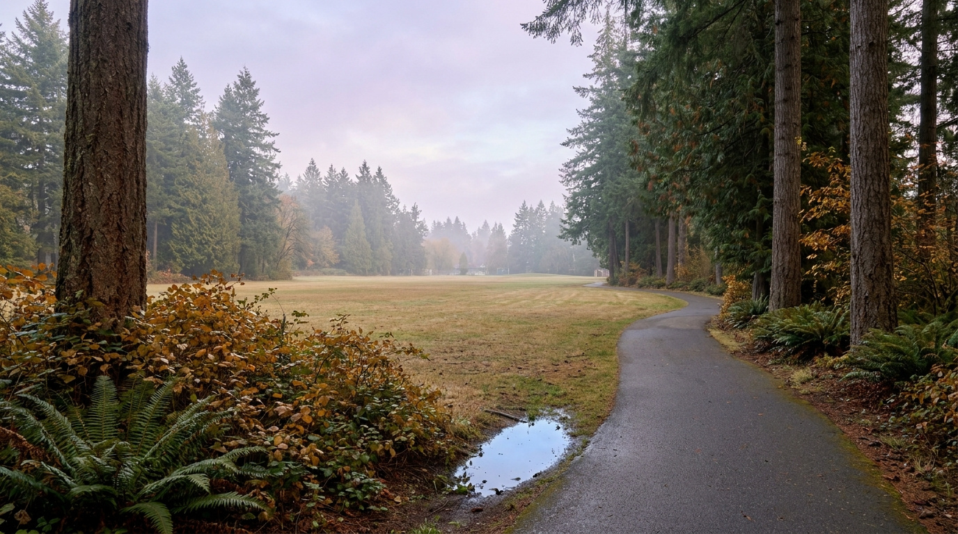
Celebration Park sports fields and trails near the Brittany Lane neighborhood of Federal Way, Washington
Celebration Park’s 83 acres of fields and trails give Brittany Lane residents a short drive to organized sports and open green space.

Homes in Brittany Lane: What the Data Shows

Brittany Lane’s homes were mostly built from the mid 1990s through the 2000s, running roughly 1,600 to 2,800 square feet on lots between 4,500 and 7,500 square feet. Construction is standard Northwest suburban: two-story floor plans, attached two-car garages, a mix of vinyl and lap siding, and modest yards the HOA keeps consistent block to block. Prices generally track Federal Way’s citywide median, with some variation depending on lot size and how recently a given home has been updated. Buyers looking for move-in-ready construction without paying for brand-new-build premiums tend to find this stretch of Federal Way an easy fit.

Data as of June 2026.

Market Pulse Federal Way (City) King County
Median Sales Price (June 2026) ~$675,000 ~$998,000
Median Days on Market ~11 days ~10 days
Active Listings Change (vs. Jan 2026) Federal Way inventory more than doubled from January to June 2026 County-wide inventory is up sharply year to date

Figures are Federal Way city-level NWMLS data for June 2026, since Brittany Lane is not tracked as a standalone MLS reporting zone. Treat these as directional for this specific pocket of south Federal Way.

Schools Serving Brittany Lane

Brittany Lane sits inside the Federal Way School District, but this pocket of the city, tucked right against the Milton border, is close enough to a boundary edge that the exact feeder school can vary from one street to the next. Panther Lake Elementary sits close by on 1st Ave S, but confirming your specific address with the district before writing an offer matters more here than in most Federal Way neighborhoods, since south-end boundary lines don’t always follow the pattern buyers expect from the rest of the city.

Federal Way Public Schools runs a district-wide Gifted and Talented program and Project Lead the Way STEM curriculum across its elementary and middle schools, so families moving into this corner of the city still have access to those tracks regardless of which specific building their address lands in. The district’s high schools, including Decatur and Federal Way High, both carry established fine arts and career-technical programs that draw students from across the south end.

For families here, the day-in-the-life pipeline runs by bus for most students, since this pocket sits far enough from the district’s core that walking to school isn’t typically practical. The safest approach for any buyer is the same one Gregory recommends everywhere near a boundary line: confirm the address before assuming a specific school, then plan the daily routine around the real answer, not the closest-sounding one.

Getting to Work from Brittany Lane

From Brittany Lane, the fastest route north to I-5 or Federal Way’s core runs up Military Road S or 1st Ave S, connecting to Pacific Highway S within a few minutes. Pierce Transit Route 501 links this corner of the city directly to Milton for residents without a car, while King County Metro service picks up further north along Pacific Highway for connections into the Federal Way Transit Center and its Link Light Rail station.

Destination Distance 2026 Drive Time (Peak AM) Transit Option
Downtown Seattle 30 miles 40 to 60 min 1 Line Light Rail / I-5
Bellevue / Amazon 28 miles 45 to 60 min I-5 to I-405 / Drive
Microsoft (Redmond) 38 miles 55 to 75 min Drive / SR-99 to I-405
SeaTac Airport 15 miles 18 to 28 min 1 Line Light Rail / Drive

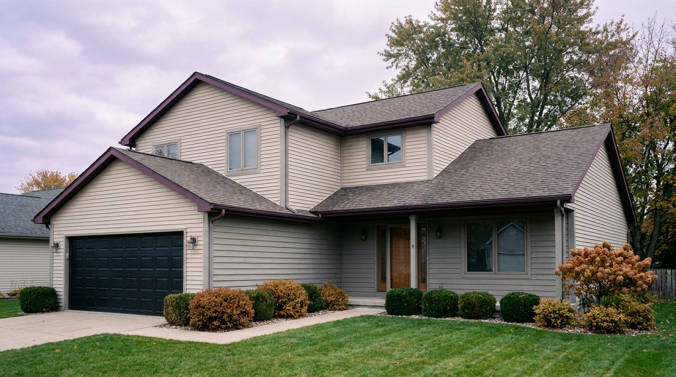
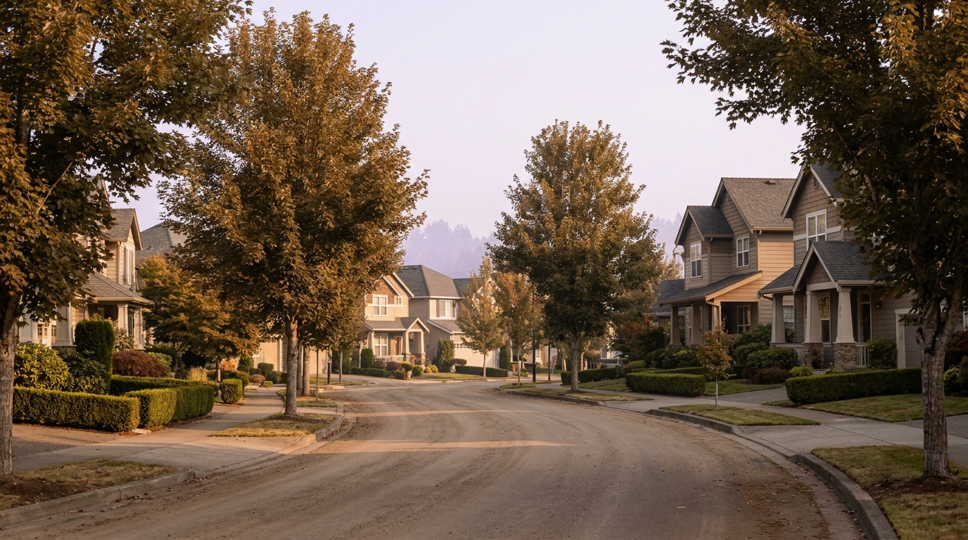
Two-story home exterior typical of the Brittany Lane neighborhood of Federal Way, Washington, built in the 1990s and 2000s
Brittany Lane’s HOA-managed streets carry a consistent look across homes built mostly from the mid 1990s through the 2000s.

What I See as a Valuation Expert in Brittany Lane

When I price homes for institutional clients, HOA condition tends to drive value in a neighborhood like Brittany Lane more than any single interior upgrade. A well-maintained HOA that keeps landscaping and exterior standards consistent holds the whole street’s value ceiling higher than a neighborhood with no oversight, because buyers are pricing the block, not just the one listing in front of them. Roof age, furnace condition, and how recently a kitchen or bath has been touched matter the way they do anywhere, but in an HOA neighborhood, the shared upkeep shows up in comps in ways buyers often miss until they compare two nearly identical homes on different streets.

Curb appeal carries real weight here too. Because Brittany Lane’s lots run smaller, from roughly 4,500 to 7,500 square feet, exterior condition and landscaping do more of the visual work than lot size alone. A home with a fresh coat of paint and a tidy front yard competes well against a larger but neglected property nearby, since buyers in this price range are often choosing between move-in-ready and a project, not between big and small.

Interior streets away from Military Road S traffic noise, and homes closer to Celebration Park, tend to move first and hold value best. Proximity to a well-maintained park amenity typically commands a premium over homes several blocks further from that kind of green space, a pattern that holds across most Federal Way neighborhoods with a comparable park anchor.

Frequently Asked Questions: Living in Brittany Lane

Q: Is Brittany Lane a good place to live in Federal Way?

A: Brittany Lane works well for buyers who want an established, HOA-managed neighborhood with a settled street pattern and easy access to Celebration Park. It sits at Federal Way prices, generally in line with the citywide median, while offering a quieter feel than neighborhoods closer to the downtown core.

Q: Is “The Villages” the same neighborhood as Brittany Lane?

A: Local listings sometimes group nearby south Federal Way development under a “Villages” label, but Brittany Lane is the name residents and the active HOA actually use for this specific neighborhood. If you see “The Villages” referenced for this area, confirm the exact address and HOA before assuming it matches Brittany Lane.

Q: What schools serve Brittany Lane?

A: Brittany Lane falls inside the Federal Way School District, but this pocket sits close enough to the Milton border and a district boundary edge that the exact feeder school can vary by address. Always confirm your specific address with the district’s boundary lookup tool before writing an offer.

Q: How far is Brittany Lane from Seattle?

A: Downtown Seattle runs about 30 miles and 40 to 60 minutes by car during peak hours, or a Link Light Rail ride from the Federal Way Transit Center a short drive north of the neighborhood.

View Brittany Lane on Google Maps

Your guide to life outside Seattle.

Gregory Dorrell | Coldwell Banker Bain | WA License #111862
253-350-0045  ·
greg@livingoutsideseattle.com  ·
www.livingoutsideseattle.com

55+ NeighborhoodBuyer ResourcesFederal WayKing County CitiesSouth King County August 1, 2026

Living in Wynstone, Federal Way | 2026 Guide

Wynstone sits in the eastern part of Federal Way, in the S 320th to S 324th Street corridor near Weyerhaeuser Way S. Lennar built most of the neighborhood in the 1990s and 2000s, and it still reads that way today: consistent rooflines, maintained landscaping, and an HOA that keeps things looking the same from one end of the neighborhood to the other. Right next door sits Belmor Park, a different kind of community entirely. Belmor Park is a 55 and over manufactured home community built in the late 1960s, with its own nine-hole golf course and a clubhouse that has hosted the same card games and potlucks for decades. Two very different housing types share the same corner of Federal Way, and that mix is exactly what makes this part of the city worth a closer look in 2026.

What is it actually like to live in Wynstone and Belmor Park in 2026?

On a weekday morning in Wynstone, the streets have the rhythm of a working neighborhood. Garage doors open around 7, cars head toward I-5 or Pacific Highway, and the HOA-maintained lawns stay green even in late summer because someone is paying attention to the shared standards. It is quiet in a managed way, not an accidental way. Over at Belmor Park, mornings move slower. Golf carts head out to the nine-hole course before the day gets warm, and the clubhouse parking lot starts filling for a morning swim or an exercise class well before most of Federal Way is awake.

Weekends split along similar lines. Wynstone families spend Saturday mornings on yard work or errands at the Safeway on S 320th, then head out to Panther Lake Trail or one of Federal Way’s larger parks in the afternoon. Belmor Park residents are more likely to stay close to home, since the community was built around the idea that everything you need, golf, a pool, a clubhouse, social clubs, is already on site. Sunday evenings in both places are quiet. This is not a nightlife corner of Federal Way, and nobody who lives here is looking for one.

Who lives here depends entirely on which side of the boundary you are talking about. Wynstone draws buyers who want newer construction and predictable HOA upkeep without paying Bellevue or Kent prices for it. Belmor Park draws people 55 and over who want to downsize into a manufactured home without giving up amenities, in a community where neighbors have often known each other for twenty or thirty years. Both groups end up in the same corner of Federal Way for related reasons: consistency, value, and a slower pace than the I-5 corridor a few miles west.

Panther Lake Trail near the Wynstone and Belmor Park area of Federal Way, Washington, a flat wooded walking loop
Panther Lake Trail’s flat, dog-friendly loop gives residents on both sides of this neighborhood an easy walk close to home.

Homes in Wynstone and Belmor Park: What the Data Shows

Wynstone’s single-family homes were mostly built between the 1990s and 2000s, running 1,800 to 3,000 square feet on lots from 5,000 to 8,000 square feet. Prices typically land between $525,000 and $650,000, which puts Wynstone right in line with Federal Way’s citywide median. Construction is standard Northwest suburban: two-story floor plans, attached two-car garages, vinyl and lap siding, and small to moderate yards that the HOA keeps looking consistent block to block. Belmor Park is a completely different product. Homes there are manufactured or mobile homes on leased or owned lots inside the 55 and over community, generally single-level and modest in size, priced well under Wynstone’s range and valued more on lot lease terms, home condition, and community amenities than on square footage alone. Anyone comparing the two needs to understand they are pricing two different housing types, not two versions of the same thing.

Data as of June 2026.

Market Pulse Federal Way (City) King County
Median Sales Price (June 2026) ~$675,000 ~$998,000
Median Days on Market ~11 days ~10 days
Active Listings Change (vs. Jan 2026) County-wide inventory is up roughly 30% year over year +30%

Figures are Federal Way city-level NWMLS data for June 2026, since Wynstone and Belmor Park are not tracked as standalone MLS reporting zones. Belmor Park manufactured homes trade on a separate basis (home value plus lot lease terms) and are not reflected in the residential median above.

Schools Serving Wynstone (and District Context for Belmor Park)

Wynstone falls inside the Federal Way School District, and students here typically attend Valhalla Elementary and Illahee Middle School before feeding into Thomas Jefferson High School. Worth knowing before you assume anything from the names alone: both Valhalla Elementary and Thomas Jefferson High School are physically located across the border in Auburn, even though they are Federal Way Public Schools facilities serving this attendance area. Illahee Middle School sits inside Federal Way proper. As always, confirm your specific address with the district before writing an offer, since boundary lines can run through a neighborhood in ways that surprise buyers.

Thomas Jefferson has a well-known fine arts program and a close-knit community feel that families in this part of Federal Way often mention. Illahee offers a Gifted and Talented program alongside Project Lead the Way, giving families an early STEM track option. None of these schools carry a Belmor Park boundary distinction, since Belmor Park is a 55 and over community and does not enroll school-age children as a matter of its age restriction. For buyers evaluating Belmor Park purely on resale and community context, the relevant fact is simply that it sits inside the Federal Way School District’s broader service area, which supports property values in the surrounding corridor even for age-restricted housing that never uses the schools directly.

For Wynstone families, the day-in-the-life pipeline usually runs by bus. Younger kids are bused to Valhalla, middle schoolers transition to Illahee, and high schoolers make the longer ride out to Thomas Jefferson in Auburn. It is a longer bus pipeline than some Federal Way neighborhoods because two of the three schools sit outside city limits, so families cross-shopping Wynstone against neighborhoods with in-city schools should factor that into their daily routine expectations.

Getting to Work from Wynstone

From Wynstone, the fastest route to I-5 runs west along S 320th St, putting you on the freeway in under ten minutes most mornings. Pacific Highway S offers a slower but reliable surface-street alternative when I-5 backs up. The Federal Way Transit Center and its Link Light Rail station sit a short drive or a longer walk away, and King County Metro routes 402 and 181 both stop at Pacific Hwy S and S 324th St, giving residents without a car a direct path into the regional transit network.

Destination Distance 2026 Drive Time (Peak AM) Transit Option
Downtown Seattle 27 miles 35 to 55 min 1 Line Light Rail / I-5
Bellevue / Amazon 25 miles 40 to 55 min I-5 to I-405 / Drive
Microsoft (Redmond) 35 miles 50 to 70 min Drive / SR-99 to I-405
SeaTac Airport 12 miles 15 to 25 min 1 Line Light Rail (direct) / Drive

For Belmor Park residents, the more relevant destination is often St. Francis Hospital in Federal Way, about 4 miles and a 10 to 15 minute drive, rather than a downtown commute, since the community skews toward retirees who are no longer commuting daily.

Two-story home exterior typical of the Wynstone neighborhood of Federal Way, Washington, built in the 1990s and 2000s
Wynstone’s HOA-managed streets keep a consistent look across homes built mostly in the 1990s and 2000s.

What I See as a Valuation Expert in Wynstone and Belmor Park

When I price homes for institutional clients, HOA condition and consistency tend to drive value more than any single upgrade inside a Wynstone home. A well-run HOA that enforces landscaping and exterior standards holds a neighborhood’s overall value ceiling higher than one that lets things slide, because buyers are pricing the whole street, not just the one listing. Roof age, furnace age, and whether a kitchen has been touched since the original build all matter here the way they do anywhere, but the HOA’s track record shows up in comps in a way a lot of buyers underestimate until they compare two nearly identical homes on different streets.

Belmor Park works on a fundamentally different valuation model. Because it involves manufactured housing inside a land-lease or age-restricted ownership structure, value depends heavily on the lot arrangement, the age and condition of the specific unit, and the health of the community’s shared amenities like the golf course and clubhouse. Curb appeal still matters, but it competes with lot terms as the primary driver of what a Belmor Park home is actually worth on resale.

In Wynstone, homes on the interior loops away from S 320th and S 324th traffic noise tend to move first and hold value best. In Belmor Park, units closest to the clubhouse and golf course frontage typically command a premium over units on the community’s outer edges, following the same logic that applies to golf-course-adjacent housing everywhere.

Frequently Asked Questions: Living in Wynstone and Belmor Park

Q: Is Wynstone a good place to live in Federal Way?

A: Wynstone works well for buyers who want newer construction, from the 1990s and 2000s, and an HOA that keeps the neighborhood looking consistent. It sits at Federal Way prices, generally $525,000 to $650,000, while offering easier freeway and transit access than more remote parts of the city.

Q: What is Belmor Park and who can live there?

A: Belmor Park is a manufactured home community built in the late 1960s for residents 55 and over. It includes a nine-hole golf course, a clubhouse, and an indoor pool, and it operates under federal HOPA rules that allow the community to restrict residency by age.

Q: What schools serve Wynstone?

A: Wynstone students typically attend Valhalla Elementary and Illahee Middle School, feeding into Thomas Jefferson High School, all part of the Federal Way School District. Valhalla and Thomas Jefferson are physically located in Auburn despite being Federal Way Public Schools facilities.

Q: How far is this part of Federal Way from Seattle?

A: Downtown Seattle runs about 27 miles and 35 to 55 minutes by car during peak hours, or a Link Light Rail ride from the Federal Way Transit Center a short drive from either community.

View Wynstone and Belmor Park on Google Maps

Your guide to life outside Seattle.

Gregory Dorrell | Coldwell Banker Bain | WA License #111862
253-350-0045  ·
greg@livingoutsideseattle.com  ·
www.livingoutsideseattle.com

Buyer ResourcesFederal WayKing County CitiesSouth King County July 31, 2026

Living in Marine Hills, Federal Way WA | 2026 Guide

Living in Marine Hills, Federal Way means living on a hillside that steps down toward Puget Sound, with the Redondo waterfront right at the bottom of the slope near the Des Moines line. Homes here date mostly to the 1960s and 1970s, split-levels and midcentury ramblers that climb the terrain in tiers, many with a real view of the water and the Olympic Mountains beyond it. This is a Family-First Established neighborhood. The median home here was built in 1974, and a lot of the people who live here have been here a long time, which says something about how the neighborhood holds up once you move in. Buyers drawn to Marine Hills in 2026 want that view and that established feel without paying Bellevue or West Seattle prices to get it.

What is it actually like to live in Marine Hills in 2026?

On a Tuesday morning, Marine Hills is quiet in the way hillside neighborhoods tend to be. Cars pull out of driveways set into the slope and head down toward Dash Point Road, the main route off the hill and into the rest of Federal Way. Marine Hills is a car-dependent neighborhood, so almost everyone is driving, whether the destination is the Federal Way Transit Center for a bus connection or straight onto Highway 99 and I-5. The homes closest to the water stay shaded longer into the morning, tucked below the ridge line that gives the upper streets their view.

Weekends bring people down the hill toward the water. Wooton Park’s boardwalk draws walkers looking out over Poverty Bay, and the Redondo waterfront, just over the line toward Des Moines, pulls people in for a walk along the water or dinner with a view. Sacajawea Park, also inside the neighborhood, hosts youth sports on its fields most Saturdays in season. It is not a neighborhood built around one single gathering spot so much as a string of small, real destinations within a few minutes of most homes.

The people who land in Marine Hills tend to want an established home with a real view, not a new build in a subdivision further from the water. Compared to newer pockets of Federal Way like the areas around Celebration Park, Marine Hills trades some of that newer-construction convenience for older homes, bigger hillside lots, and water views that are hard to find anywhere else in the city at this price point. Buyers who want more space between homes and don’t mind a steep driveway tend to do well here.

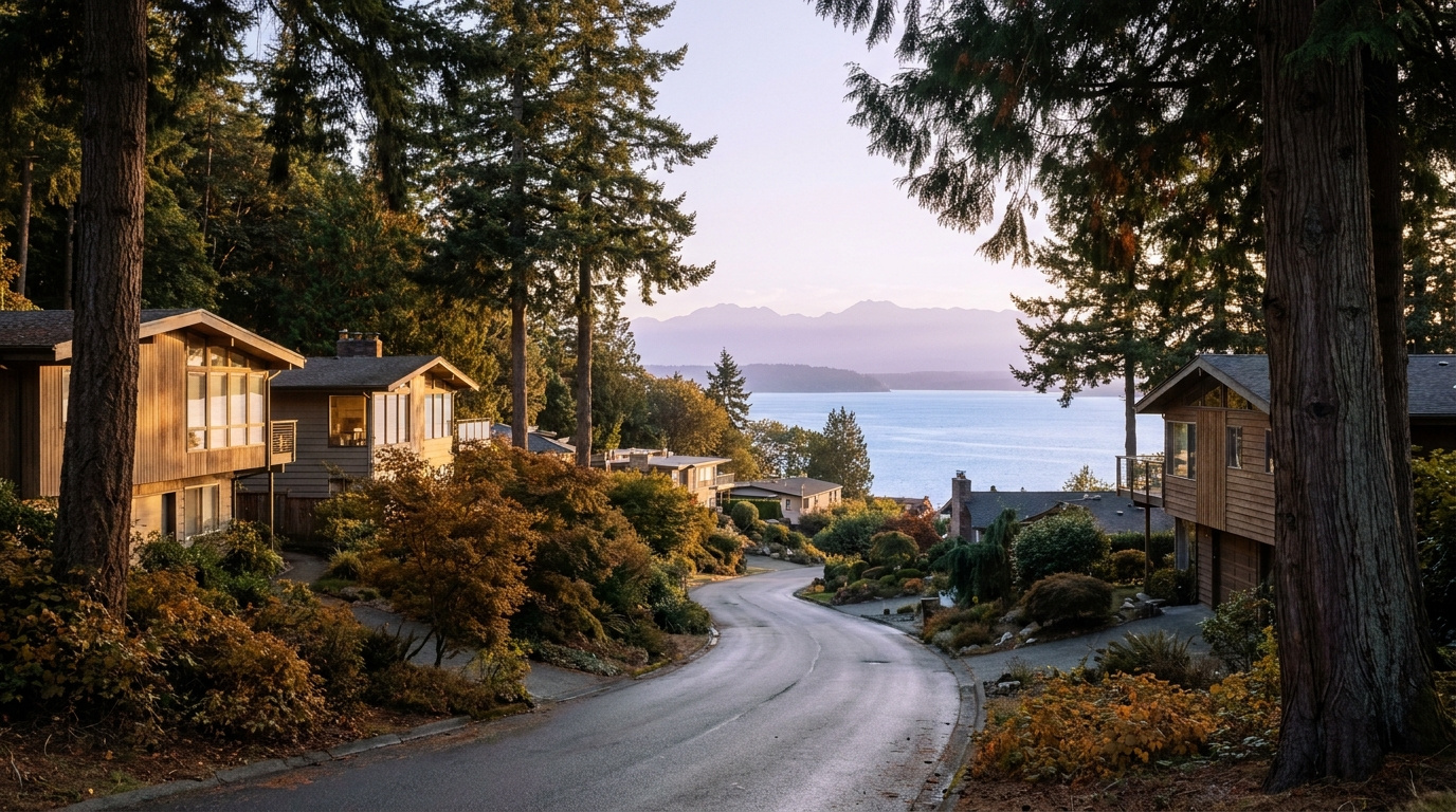
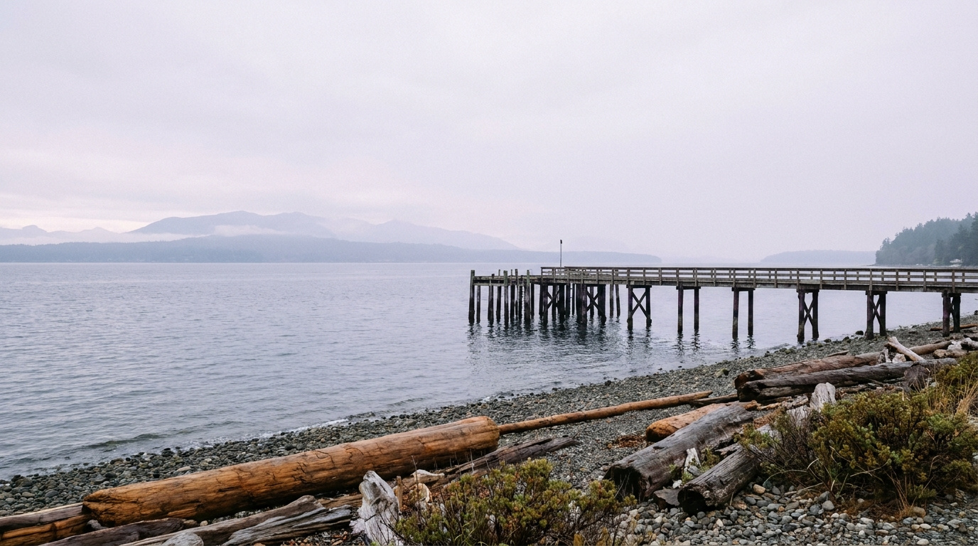
Puget Sound waterfront view near the Redondo boardwalk below the Marine Hills neighborhood of Federal Way, Washington
The Puget Sound waterfront at the base of the Marine Hills slope, near the Redondo boardwalk.

Homes in Marine Hills: What the Data Shows

Most homes in Marine Hills date to the 1960s and 1970s, split-level and midcentury modern construction with large windows built to catch the view down the hill. Home sizes run from roughly 1,400 square feet for the smaller entry-level ramblers up toward 3,000 square feet or more for the larger view homes higher on the slope, spread across multiple levels to work with the terrain rather than fight it. Lot sizes range from about 7,000 square feet on the smaller interior lots up to 14,000 square feet or more on some of the corner and view lots. Detached single-family homes make up nearly all of the housing stock here. Entry-level ramblers typically start in the $400,000s and run up toward $800,000, while the midcentury modern homes closest to the water with a more open Sound view can push past $1 million. This is not a subdivision built out by one or two production builders. The homes are eclectic, a mix of styles built out gradually as the hillside filled in, and it shows in how different one block can look from the next.

Data as of June 2026.

Market Pulse Federal Way King County
Median Sales Price (June 2026) ~$675,000 ~$998,000
Median Days on Market ~11 days ~10 days
Active Listings Change (vs. Jan 2026) +132% +127%

Figures reflect Federal Way city-level NWMLS residential data for June 2026, the most recent complete month available. Marine Hills and Redondo are a sub-area within these city figures rather than a standalone MLS reporting zone, so treat the numbers as directional, especially since home values here vary a lot by proximity to the water.

Schools Serving Marine Hills

Marine Hills falls inside the Federal Way Public Schools district. I checked the district’s official address-based boundary lookup at three separate addresses spread across the neighborhood, from the water-view streets near the north end to the interior streets further south, and all three returned the same pipeline: Nautilus Elementary, then Sacajawea Middle School, then Federal Way High School. Both Nautilus and Sacajawea sit physically inside Marine Hills, which is not something every Federal Way neighborhood can say. One note for buyers: an older claim tied to this neighborhood names a school called Redondo Elementary feeding a different middle and high school pipeline (Lakota Middle and Decatur High). I could not find a Federal Way Public Schools campus by that name, and it does not match what the district’s own boundary tool returns for this neighborhood, so treat that older pairing as incorrect.

Nautilus, which the district also runs as a K-8 program for families who choose it, offers a STEAM-focused curriculum with Gifted and Talented options and a community garden on campus. Sacajawea Middle School offers a Gifted and Talented track, Project Lead the Way, and Cambridge International coursework. Federal Way High School added a new football stadium in 2023 and offers Advanced Placement classes alongside Project Lead the Way.

Because Nautilus and Sacajawea both sit inside the neighborhood itself, most Marine Hills kids are riding a bus or being driven a short distance for elementary and middle school rather than crossing the city, before moving on to Federal Way High School for grades nine through twelve. School assignments can still change block by block near any boundary edge, so confirm your specific address with the district before writing an offer.

Getting to Work from Marine Hills

Take Dash Point Road east off the hill to reach Highway 99 and I-5, or connect into King County Metro’s local routes for a ride to the Federal Way Transit Center, where the RapidRide A Line and the 1 Line light rail continue north. Marine Hills itself scores low for walkability and transit access, so plan on driving to most daily errands and to the transit center itself.

Destination Distance 2026 Drive Time (Peak AM) Transit Option
Downtown Seattle 22 miles 30 to 50 min 1 Line Light Rail / I-5
Amazon (South Lake Union) 24 miles 35 to 55 min Link Transfer at Westlake / Drive
Microsoft (Redmond) 32 miles 50 to 70 min Drive / SR-99 to I-405
SeaTac Airport 11 miles 20 to 30 min 1 Line Light Rail (via Federal Way Downtown Station) / Drive

Midcentury split-level home exterior typical of the Marine Hills neighborhood of Federal Way, WA
Homes in Marine Hills are mostly 1960s and 1970s split-level and midcentury modern construction built to catch the hillside view.

What I See as a Valuation Expert in Marine Hills

When I price homes for institutional clients, a real, unobstructed water view is one of the clearest value drivers I see anywhere in Federal Way, and Marine Hills has more of that view inventory than almost any other neighborhood in the city. Two homes on the same block, same square footage, can price meaningfully differently depending on whether the view is open water and mountains or a filtered glimpse between rooflines.

Because so much of this neighborhood sits on a hillside, lot condition and drainage matter more here than in flatter parts of Federal Way. Retaining walls, drainage systems, and the condition of a steep driveway carry real weight in how I assess a property, and buyers should budget for those systems the same way they budget for a roof.

Streets closest to the water and highest on the slope, where the view opens up fully, tend to move first when priced correctly. Interior streets a block or two off the view corridor sell fine but usually take longer and command less per square foot, even with a nearly identical home.

Explore Marine Hills Yourself

View Marine Hills on Google Maps →

Is Marine Hills a good place to live? It works well if you want an established Federal Way neighborhood with real Puget Sound views and easy access to the Redondo waterfront, especially if a hillside lot and an older home don’t bother you.

What are homes like in Marine Hills? Mostly 1960s and 1970s split-level and midcentury modern homes, typically 1,400 to 3,000 square feet on lots from about 7,000 to 14,000 square feet, spread across multiple levels to fit the hillside.

What schools serve Marine Hills? The neighborhood falls in Federal Way Public Schools. Per the district’s official boundary lookup, checked at three addresses across the neighborhood, homes here feed Nautilus Elementary, then Sacajawea Middle School, then Federal Way High School. Both Nautilus and Sacajawea sit physically inside Marine Hills. Always confirm your specific address with the district before writing an offer.

How far is Marine Hills from Seattle? About 22 miles, with a 30 to 50 minute peak commute by car, or a connection to the 1 Line at Federal Way Downtown Station a short drive away.

Your guide to life outside Seattle.

Gregory Dorrell | Coldwell Banker Bain | WA License #111862
253-350-0045  ·
greg@livingoutsideseattle.com  ·
www.livingoutsideseattle.com

Buyer ResourcesFederal WayKing County CitiesSouth King County July 31, 2026

Living in South Federal Way, WA | 2026 Guide

Living in South Federal Way means trading a little city bustle for more room, both inside the house and out in the yard. This part of the city sits south of S 356th Street, close enough to the Pierce County line that some daily errands pull you toward Tacoma-area roads as often as toward downtown Federal Way. The Camelot name comes up often in conversation, though it is more of a local shorthand than an official subdivision. What you get here is a Family-First Established feel: larger lots, a mix of older homes and newer infill, and a lower price per square foot than almost anywhere else in the city. Buyers priced out of Federal Way’s core keep landing here in 2026 because the math still works.

What is it actually like to live in South Federal Way in 2026?

On a Tuesday morning, South Federal Way feels less hurried than the commercial stretch along Pacific Highway a few minutes north. Driveways here tend to be longer and traffic lighter once you turn off the main arterials onto the residential side streets. Commuters headed north toward downtown Federal Way or east toward SR-18 and Auburn make up most of the morning traffic, since this part of the city sits at a crossroads between two commute directions rather than funneling everyone one way.

Weekends bring more activity to Brooklake Park, where the restored blueberry farm draws local families during picking season. This is not a neighborhood built around one signature amenity the way some Federal Way neighborhoods are built around a lake or a beach. It is a working residential area, and the appeal is space and value rather than a single standout feature.

The people who choose South Federal Way tend to want more house and yard than they can get for the same money closer to downtown Federal Way or in Kent. Compared to a neighborhood like Wynstone, lots here run larger and the housing stock is more varied. Buyers who want SR-18 access to Auburn, something few other Federal Way neighborhoods offer as directly, notice the difference in their daily drive right away.

Brooklake Historic Community Center and Park Area in South Federal Way, Washington, a natural area and community gathering space on S 356th Street
Brooklake Park sits right on S 356th Street, giving South Federal Way residents a natural area and community space close to home.

Homes in South Federal Way: What the Data Shows

South Federal Way’s housing stock spans several decades, a mix of older established homes built out since the 1970s and 1980s alongside pockets of newer infill construction. Home sizes run from about 1,500 square feet on the smaller, older properties up to 3,000 square feet or more on newer builds. Lot sizes are the area’s biggest draw, ranging from 8,000 up to 14,000 square feet or larger, noticeably bigger than what buyers typically find closer to downtown Federal Way. Detached single-family homes make up nearly all of the housing here. Some newer subdivisions carry an HOA that maintains shared common areas, while the older streets have none. This is one of Federal Way’s most affordable sectors by price per square foot, which is exactly why value-focused buyers keep circling back to it.

Data as of June 2026.

Market Pulse Federal Way King County
Median Sales Price (June 2026) ~$675,000 ~$998,000
Median Days on Market ~11 days ~10 days
Active Listings Change (vs. Jan 2026) +390% +127%

Figures are Federal Way city-level NWMLS data (South Federal Way and Camelot are not a standalone MLS reporting zone), sourced through the Living Outside Seattle monthly market feed. Active listings change reflects the normal seasonal climb from January’s low-inventory winter months, not a South Federal Way-specific trend.

Schools Serving South Federal Way

South Federal Way sits inside the Federal Way Public Schools boundary, but this part of the city, especially south of S 356th Street near the Pierce County line, includes areas where the district has drawn boundary lines through more than once. I could not confirm a single elementary feeder for every address in this area from public sources alone, and I would rather tell you that plainly than guess. Depending on the exact address, families here have landed in different elementary assignments within the district.

What I can confirm is the district itself, Federal Way Public Schools, and that every home in this area feeds eventually into one of the district’s middle and high schools. The safest move if you are house hunting here is the same one I would make: pull up the district’s official boundary lookup tool for the specific address before you write an offer, not after. If you have a specific program in mind, dual language, STEM, or a gifted track, call the district enrollment office directly. Boundary lines here can split one block from the next, so a neighbor’s assignment is not a reliable stand-in for your own address.

Getting to Work from South Federal Way

Take Pacific Hwy S north to reach downtown Federal Way and I-5, or head east on S 356th St to pick up SR-18 toward Auburn, an option most other Federal Way neighborhoods do not have as directly.

Destination Distance 2026 Drive Time (Peak AM) Transit Option
Downtown Seattle 27 miles 40 to 60 min I-5 / ST Link light rail from Federal Way Downtown Station
Bellevue / Amazon 24 miles 35 to 55 min SR-18 to I-405 north
Microsoft (Redmond) 30 miles 45 to 65 min SR-18 to I-405 to SR-520
SeaTac Airport 14 miles 20 to 30 min I-5 north

Single-family home exterior typical of the South Federal Way and Camelot area near the Pierce County line
South Federal Way homes sit on some of the larger lots in the city, a mix of older established construction and newer infill.

What I See as a Valuation Expert in South Federal Way

When I assess homes here for institutional lenders, lot size carries more of the value story than it does in Federal Way’s denser neighborhoods. A larger, usable lot with room to add a shop or expand the driveway tends to command a real premium over a similarly sized home on a tight interior lot, even a few blocks away.

HOA presence swings value in both directions here. Newer subdivisions with an HOA see well-maintained common areas support price, while on the older, non-HOA streets, curb appeal and deferred maintenance carry more weight since there is no shared standard pulling every yard toward the same baseline.

Streets closer to Brooklake Park and the quieter interior blocks away from Pacific Hwy S traffic noise tend to move first and hold value best. Corner lots with usable side yard, not just a wider setback, are the other feature buyers compete hardest for here.

Frequently Asked Questions

Q: Is South Federal Way a good place to live?
A: It works well if you want more lot size and a lower price per square foot than the rest of Federal Way, and you don’t mind a longer drive to some amenities. It suits buyers who prioritize space and value over walkability to a downtown core.

Q: What are homes like in South Federal Way?
A: A mix of older established homes from the 1970s and 1980s and newer infill construction, typically 1,500 to 3,000+ square feet on lots from 8,000 to 14,000 square feet or larger. Some newer subdivisions have an HOA, while older streets do not.

Q: What schools serve South Federal Way?
A: Federal Way Public Schools serves this area, but the specific elementary assignment can vary block to block near the Pierce County line. Always confirm your exact address with the district’s official boundary lookup before making an offer.

Q: How far is South Federal Way from Seattle?
A: About 27 miles, typically a 40 to 60 minute drive during peak morning traffic, or a drive to Federal Way Downtown Station to catch the Link light rail.

Explore South Federal Way Yourself

View South Federal Way on Google Maps →

Your guide to life outside Seattle.

Gregory Dorrell | Coldwell Banker Bain | WA License #111862
253-350-0045  ·
greg@livingoutsideseattle.com  ·
www.livingoutsideseattle.com

Buyer ResourcesFederal WayKing County NeighborhoodsSouth King County July 30, 2026

Living in Celebration Park, Federal Way WA | 2026 Guide

Living in Celebration Park, Federal Way means living within a few minutes of the city’s biggest recreational asset. This corner of southwest Federal Way built up through the 1980s and 1990s around what became an 83.5 acre park with four lighted baseball fields, four lighted soccer fields, a playground, and trails that connect into the regional BPA Trail. Easter Lake, a small neighborhood lake a short distance away, gives the surrounding streets a quieter, more residential feel once you turn off the main corridors. This is a Family-First Established neighborhood, and it shows in the number of families who chose it specifically for the park at the center of it.

What is it actually like to live in Celebration Park in 2026?

On a Tuesday morning, the streets around Celebration Park and Easter Lake carry the ordinary rhythm of a settled residential pocket. Cars head out toward S 320th Street or Pacific Highway South, some continuing to the RapidRide A Line stop for a commute north or south, others turning toward I-5. The park itself sits quiet on weekday mornings, its eight lighted fields empty until practice season ramps up in the afternoon.

Weekends look different. Celebration Park is one of the busiest recreational spots in Federal Way, and on a Saturday in spring or fall the parking lots fill with families dropping kids at baseball and soccer games across the park’s eight fields. Others use the trail system that threads through the park and connects to the BPA Trail for a walk or a run. Easter Lake, tucked into the surrounding streets, offers a calmer contrast, a small lake that residents pass on quiet walks rather than a destination in its own right.

The people who land in this part of Federal Way tend to have kids in organized sports, or simply want an established home within walking or short driving distance of a serious recreational amenity. Compared to Mirror Lake or Twin Lakes elsewhere in the city, Celebration Park and Easter Lake trade a bit of that quieter lake-focused character for direct proximity to the park complex itself. Buyers who coach a team or spend their weekends at practice notice the difference in convenience right away.

Celebration Park athletic fields and walking trail in Federal Way, Washington, the anchor amenity for the surrounding neighborhood
Celebration Park’s lighted fields and trail system anchor the neighborhood that shares its name.

Homes in Celebration Park: What the Data Shows

Most homes in the Celebration Park and Easter Lake area date to the 1980s and 1990s, running 1,500 to 2,800 square feet on lots between 7,000 and 12,000 square feet, some of the larger lots in this part of the city. Detached single-family homes dominate the housing stock, mostly two-story construction with attached garages, typical of Federal Way’s suburban buildout during that era. It is not a neighborhood built around a single architectural style so much as a practical, family-oriented housing stock that has held up well, especially the homes closest to the park and to Easter Lake.

Data as of June 2026.

Market Pulse Federal Way King County
Median Sales Price (June 2026) ~$675,000 ~$998,000
Median Days on Market ~11 days ~10 days
Active Listings Change (vs. Jan 2026) +132% +127%

Figures reflect Federal Way city-level NWMLS residential data for June 2026, the most recent complete month available. Celebration Park and Easter Lake are a sub-area within these city figures rather than a standalone MLS reporting zone, so treat the numbers as directional for this specific pocket of the city.

Schools Serving Celebration Park

Celebration Park and Easter Lake fall inside the Federal Way Public Schools district. According to the district’s official address-based boundary lookup, homes in this pocket of the city, checked at addresses near Celebration Park, along S 320th Street, and near Easter Lake itself, feed into Mirror Lake Elementary, then Sequoyah Middle School, then Todd Beamer High School. One quirk worth knowing: Sequoyah Middle School carries an Auburn mailing address even though it is a Federal Way Public Schools campus, since district lines in south King County do not always follow city limits. Always confirm your specific address with the district before writing an offer, since boundary lines can shift block by block near any neighborhood edge.

Mirror Lake Elementary offers a Gifted and Talented program and Project Lead the Way curriculum for grades K through 5. Sequoyah Middle School also runs a Gifted and Talented track and Project Lead the Way for grades 6 through 8. Todd Beamer High School, established in 2003, offers Advanced Placement coursework alongside Project Lead the Way and a Gifted and Talented program for grades 9 through 12.

The day-in-the-life pipeline runs from an elementary school a short drive north of the neighborhood to a middle school with an out-of-city address to a high school back in Federal Way, which is a slightly more complex path than some other Federal Way neighborhoods. Elementary-age kids typically bus or are driven given the distance, while middle and high schoolers also typically bus. Given the address quirk at the middle school level, and the fact that Mirror Lake Elementary’s attendance area splits into more than one middle school depending on the specific street, this is a pipeline worth double-checking directly with the district for any specific home you are considering.

Getting to Work from Celebration Park

Take S 320th Street east to reach I-5, or catch the RapidRide A Line at S 320th St and 11th Pl S for a direct connection to Federal Way Downtown Station, where the 1 Line light rail continues north toward Seattle. Both options cover most of the commute story for this part of the city, and residents without a car in the household still have a real transit path to the rest of the region.

Destination Distance 2026 Drive Time (Peak AM) Transit Option
Downtown Seattle 26 miles 35 to 55 min 1 Line Light Rail / I-5
Amazon (South Lake Union) 27 miles 40 to 60 min Link Transfer at Westlake / Drive
Microsoft (Redmond) 34 miles 50 to 70 min Drive / SR-99 to I-405
SeaTac Airport 11 miles 15 to 25 min 1 Line Light Rail (direct) / Drive

Two-story home exterior typical of the Celebration Park and Easter Lake area of Federal Way, WA
Homes near Celebration Park are mostly 1980s and 1990s two-story construction on larger, established lots.

What I See as a Valuation Expert in Celebration Park

When I price homes for institutional clients, proximity to Celebration Park tends to drive real value in this pocket of Federal Way, particularly for buyers with kids in year round travel sports who want a short drive to practice rather than a long one. A home within a few blocks of the park typically commands a premium over a comparable home ten minutes away, even when the floor plans are nearly identical.

Lot size and curb appeal matter more here than in some tighter Federal Way subdivisions, since this pocket of the city carries some of the larger lots in town. A well-maintained yard on a 10,000 square foot lot tends to draw more attention than a similar home on a smaller lot, and buyers notice the difference between original 1980s and 1990s systems and homes that have been updated.

Streets closest to Easter Lake and the park’s trail entrances tend to move first when they are priced correctly. Buyers who prioritize the park’s fields and trails over a lake view specifically will pay up for that convenience, and it shows in shorter days on market for well-priced listings in the immediate area.

Explore Celebration Park Yourself

View Celebration Park on Google Maps →

Is Celebration Park a good place to live? It works well if you want an established Federal Way neighborhood built around one of the city’s biggest recreational amenities, with larger lots and easy trail access, especially if you have kids in organized sports.

What are homes like near Celebration Park? Mostly 1980s and 1990s two-story homes, typically 1,500 to 2,800 square feet on lots between 7,000 and 12,000 square feet, some of the larger lots in this part of the city.

What schools serve this area? The area falls in Federal Way Public Schools. Per the district’s official boundary lookup, Mirror Lake Elementary feeds into Sequoyah Middle School, which carries an Auburn address despite being a Federal Way Public Schools campus, then Todd Beamer High School. Always confirm your specific address with the district before writing an offer.

How far is Celebration Park from Seattle? About 26 miles, with a 35 to 55 minute peak commute by car, or a ride on the 1 Line from Federal Way Downtown Station a short RapidRide A Line trip away.

Your guide to life outside Seattle.

Gregory Dorrell | Coldwell Banker Bain | WA License #111862
253-350-0045  ·
greg@livingoutsideseattle.com  ·
www.livingoutsideseattle.com

Buyer ResourcesFederal WayKing County CitiesSouth King County July 29, 2026

Living in Mirror Lake, Federal Way WA | 2026 Guide

Living in Mirror Lake, Federal Way means settling into one of the city’s older, calmer pockets, built around a small lake that gives the neighborhood its identity and its name. This is a Quiet Cul-de-Sac Community in the plainest sense of the term: curving residential streets, mature trees, and a housing stock that has not turned over much in fifty years. The lake itself sits at the center, with a public park on its shore and a ring of homes, some with direct water access, wrapped around it. Buyers who want an established, walkable-feeling neighborhood without paying downtown Federal Way prices keep circling back to Mirror Lake in 2026.

What is it actually like to live in Mirror Lake in 2026?

On a Tuesday morning, Mirror Lake feels unhurried compared to the commercial corridors a mile away. Cars pull out of driveways along the curving streets around the lake, most headed for S 320th Street and the on-ramp to I-5 or a short drive to the Federal Way Transit Center. The pace is steady rather than rushed. This is a neighborhood where people have lived for a while, and it shows in the mature landscaping and the general lack of construction noise.

Weekends bring more foot traffic to Mirror Lake Park, where the shoreline path draws walkers and joggers, especially once the weather turns in spring. The lake is not a swimming destination or a boating hotspot on the scale of Steel Lake across town. It is a quieter, smaller-scale amenity, and that is exactly the point for the people who chose this neighborhood over a busier part of the city.

The people who land in Mirror Lake tend to want an established address with a strong local elementary school and a short drive to everything, rather than new construction or a waterfront view lot. Compared to newer subdivisions on the city’s edges, Mirror Lake offers smaller lots but a more central location, closer to shopping, the Transit Center, and downtown Federal Way’s core services. It is a different trade-off than you get in Twin Lakes or Dash Point, and buyers who prioritize convenience over acreage notice the difference quickly.

Mirror Lake in Federal Way, Washington, the small neighborhood lake and park that gives the Mirror Lake neighborhood its name
Mirror Lake Park sits on the shore of the small neighborhood lake that anchors this Federal Way community.

Homes in Mirror Lake: What the Data Shows

Most homes in Mirror Lake date to the 1960s through the 1980s, with single-story ranch homes and split-levels making up the bulk of the housing stock. Square footage typically runs 1,400 to 2,600 square feet, on lots between 7,000 and 10,000 square feet, smaller than the acreage lots you find on the city’s outer edges but larger than the tightest infill developments. The closest ring of homes directly on the lake carries a real premium, since a handful of properties there have private dock access, something you will not find anywhere else in central Federal Way. Detached single-family homes dominate here, with scattered newer infill replacing a few of the oldest original homes over the past decade. It is not a flashy housing stock, but the school assignment and the lake setting keep it consistently in demand.

Data as of June 2026.

Market Pulse Federal Way King County
Median Sales Price (June 2026) ~$675,000 ~$998,000
Median Days on Market ~11 days ~10 days
Active Listings Change (vs. Jan 2026) +132% +127%

Figures reflect Federal Way city-level NWMLS residential data for June 2026, the most recent complete month available. Mirror Lake is a sub-area within these city figures rather than a standalone MLS reporting zone, so treat the numbers as directional for this specific pocket of the city.

Schools Serving Mirror Lake

Mirror Lake falls inside the Federal Way Public Schools district. The neighborhood’s namesake elementary school, Mirror Lake Elementary at 625 S 314th St, sits right in the neighborhood and feeds into Sacajawea Middle School, then Federal Way High School. Always confirm your specific address with the district before writing an offer, since boundary lines can shift block by block near any neighborhood edge.

Mirror Lake Elementary offers a Gifted and Talented program and Project Lead the Way curriculum for grades K through 5, which gives families some depth of options at the elementary level. Sacajawea Middle School serves grades 6 through 8 a short drive from the neighborhood, and Federal Way High School rounds out the pipeline for grades 9 through 12.

The day-in-the-life pipeline here is straightforward compared to some Federal Way neighborhoods with split feeder patterns. Elementary-age kids are close enough to walk or bike in good weather, middle schoolers typically bus a short distance, and high schoolers bus or drive to Federal Way High. It is one of the more stable, predictable pipelines in the city, which is part of why families gravitate toward this specific pocket of Federal Way.

Getting to Work from Mirror Lake

Take S 314th Street east to Pacific Highway South, then continue a short distance to the Federal Way Transit Center, and you have covered most of the commute story for Mirror Lake. The neighborhood sits close enough to downtown Federal Way that residents can drive, bike, or catch the local Metro Route 901 bus to the Transit Center for 1 Line light rail service, while I-5 remains a few minutes away by car for anyone who prefers to drive the whole way.

Destination Distance 2026 Drive Time (Peak AM) Transit Option
Downtown Seattle 25 miles 35 to 55 min 1 Line Light Rail / I-5
Amazon (South Lake Union) 26 miles 40 to 60 min Link Transfer at Westlake / Drive
Microsoft (Redmond) 33 miles 50 to 70 min Drive / SR-99 to I-405
SeaTac Airport 10 miles 15 to 25 min 1 Line Light Rail (direct) / Drive

Rambler and split-level home exterior typical of the Mirror Lake neighborhood of Federal Way, WA
Mirror Lake homes are mostly 1960s to 1980s ranch and split-level construction on established, mature-treed lots.

What I See as a Valuation Expert in Mirror Lake

When I price homes for institutional clients, proximity to the lake itself tends to drive more of the value story here than almost any other single factor. A home on the immediate shoreline, especially one of the handful with private dock access, typically commands a real premium over a comparable home two or three streets back, even when the floor plans are nearly identical.

Curb appeal and system updates matter more than usual in a neighborhood built out mostly between the 1960s and 1980s. Roofs, siding, and windows on the oldest original homes are well past their expected service life in many cases, and buyers notice the difference between a home that has been maintained and one that has not. A well-kept rambler with updated systems tends to move faster and closer to list price than an identical layout that still shows its age.

School assignment is a quieter but real factor in what sells first. Mirror Lake Elementary’s reputation in the district pulls buyers who might otherwise consider a similar home in a neighborhood without a comparably regarded local school, and that demand shows up in shorter days on market for well-priced listings here.

Explore Mirror Lake Yourself

View Mirror Lake on Google Maps →

Is Mirror Lake a good place to live? It works well if you want an established, centrally located Federal Way neighborhood with a strong local elementary school and easy access to the Transit Center, without paying for new construction or a waterfront view lot.

What are homes like in Mirror Lake? Mostly 1960s to 1980s ranch and split-level homes, typically 1,400 to 2,600 square feet on lots between 7,000 and 10,000 square feet. A small ring of homes directly on the lake carries a premium, some with private dock access.

What schools serve Mirror Lake? The neighborhood falls in Federal Way Public Schools. Mirror Lake Elementary feeds into Sacajawea Middle School, then Federal Way High School. Always confirm your specific address with the district before writing an offer.

How far is Mirror Lake from Seattle? About 25 miles, with a 35 to 55 minute peak commute by car, or a ride on the 1 Line from the Federal Way Transit Center a short drive away.

Your guide to life outside Seattle.

Gregory Dorrell | Coldwell Banker Bain | WA License #111862
253-350-0045  ·
greg@livingoutsideseattle.com  ·
www.livingoutsideseattle.com
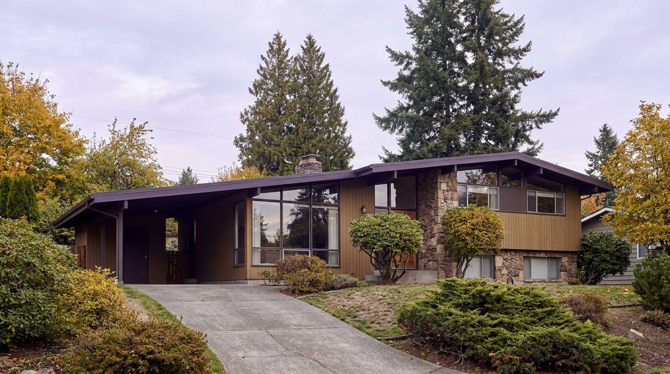

Buyer ResourcesKing County CitiesSouth King County July 28, 2026

Living in North Federal Way, WA | 2026 Guide

North Federal Way sits along the city’s northern edge, tucked between Military Road South and I-5, with the Jovita area extending toward the Auburn and Lakeland border to the east. This is a Quiet Cul-de-Sac Community in the truest sense: older, settled streets, mature trees, and a housing stock that has not changed much in fifty years. What has changed is the transit picture. The Star Lake Link light rail station opened here in December 2025, and that is pulling new attention to a part of Federal Way that used to be an afterthought for buyers focused on downtown.

What is it actually like to live in North Federal Way in 2026?

On a Tuesday morning, North Federal Way moves at a slower pace than the city’s downtown core. Traffic on Military Road South picks up as commuters head for I-5, and a steady trickle of cars turns into the Star Lake park and ride garage for the light rail platform. It is a practical, unglamorous rhythm. Nobody is performing for anybody here. People are getting to work.

Weekends look different. The Safeway parking lot fills up Saturday late morning, and North Lake sees its steadiest foot traffic from anglers using the WDFW access point, especially once the gate opens for the season in late April. It is not a destination lake with swimming beaches or picnic shelters. It is a working neighborhood amenity, quiet and a little overlooked, which is exactly what draws people who live near it.

The people who choose North Federal Way tend to want space and quiet over walkability to shops and restaurants. Lots here run bigger than what you find in denser parts of the city, and the housing stock skews older, which means buyers are often comfortable with some updating in exchange for a lower price point and more land. It is a different crowd than you would find near the Commons or downtown Federal Way. Less foot traffic, more driveway.

North Lake fishing and boat launch access point near North Federal Way, Washington, the neighborhood's anchor natural feature
North Lake offers a quiet Washington Department of Fish and Wildlife boat launch and fishing access point in North Federal Way.

Homes in North Federal Way: What the Data Shows

Most of the housing stock in North Federal Way dates to the 1970s and 1980s, when developers built out this corridor with straightforward ramblers and split-level homes. You will see plenty of single-story ramblers with attached garages, along with split-entry designs that were standard suburban construction for that era. Square footage typically runs 1,300 to 2,200 square feet, with lots between 7,000 and 10,000 square feet, larger than what you find in newer, denser Federal Way developments. Detached single-family homes dominate here. There is very little condo or townhome inventory in this specific corridor. Newer construction is scattered rather than concentrated, mostly infill on larger original lots. It is not a flashy housing stock, but it is a durable one, and that matters to buyers looking for value per square foot.

Data as of June 2026.

Market Pulse Federal Way King County
Median Sales Price (June 2026) ~$675,000 ~$998,000
Median Days on Market ~11 days ~10 days
Active Listings Change (vs. Jan 2026) +132% +127%

Figures reflect Federal Way city-level NWMLS residential data for June 2026, the most recent complete month available. North Federal Way is a sub-area within these city figures rather than a standalone MLS reporting zone, so treat the numbers as directional for this specific pocket of the city.

Schools Serving North Federal Way

North Federal Way falls inside the Federal Way Public Schools district, but the feeder pattern here is different from what you will find on the city hub’s general summary, so it is worth double-checking your specific address. For the Military Road South and North Lake corridor, the closest documented elementary school is Star Lake Elementary, which feeds into Evergreen Middle School. Evergreen was known as Totem Middle School until a 2021 renaming (the district retired the old name and mascot under state law), so if you see “Totem” referenced anywhere, it means the same building and the same program, just under its current name.

Evergreen Middle School runs Gifted and Talented, International Baccalaureate, and Project Lead the Way programming, which gives families some depth of options once kids move past elementary. Star Lake Elementary is a straightforward neighborhood elementary school, Pre-K through 5th grade, serving the immediate area around Military Road South.

Beyond middle school, I was not able to confirm a single, address-specific high school assignment for this stretch of North Federal Way through publicly available sources. Federal Way High School, Todd Beamer High School, and Thomas Jefferson High School all serve different zones of the district, and boundary lines shift close to the city’s edges. Verify your specific address with the district before writing an offer, especially if a particular high school assignment matters to your decision.

Getting to Work from North Federal Way

North Federal Way’s biggest advantage is direct access to I-5 without cutting through downtown traffic. Most residents pick up I-5 at the Military Road South on-ramp or drive a few minutes to the Star Lake park and ride for light rail.

Destination Distance 2026 Drive Time (Peak AM) Transit Option
Downtown Seattle 22 miles 40 to 55 min 1 Line from Star Lake Station
Bellevue / Amazon 23 miles 35 to 50 min I-5 to I-405
Microsoft (Redmond) 28 miles 45 to 60 min I-5 to I-405 to SR-520
SeaTac Airport 9 miles 15 to 25 min I-5 north or 1 Line from Star Lake

Rambler-style home exterior typical of the North Federal Way / Jovita neighborhood of Federal Way, WA
North Federal Way homes are mostly 1970s to 1980s ramblers and split-levels on larger-than-average lots.

What I See as a Valuation Expert in North Federal Way

When I price homes for institutional clients, lot size tends to drive more of the value story in North Federal Way than it does in denser parts of the city. Buyers here are paying for space, so a 9,000-square-foot lot with room for a shop or RV parking typically commands a premium over a comparable home on a standard 7,000-square-foot lot, even when the house itself is similar.

Curb appeal and deferred maintenance matter more than usual in a neighborhood built out fifty years ago. Roofs, siding, and windows on original 1970s construction are aging into replacement territory, and buyers notice. A home with updated systems and a fresh exterior tends to move faster and closer to list price than an identical floor plan that still shows its age.

Proximity to the Star Lake light rail station is becoming a real factor in what moves first. Streets within easy walking or short driving distance of the station are starting to draw more buyer interest than similar homes farther from I-5 access, and that gap is likely to widen as the light rail line matures.

Explore North Federal Way Yourself

View North Federal Way on Google Maps →

Is North Federal Way a good place to live? It works well if you want a quiet, established neighborhood with more land than you would find closer to downtown Federal Way, and you do not mind an older housing stock. Direct I-5 access and the new Star Lake light rail station are real advantages for commuters.

What are homes like in North Federal Way? Mostly 1970s and 1980s ramblers and split-level homes, typically 1,300 to 2,200 square feet on lots between 7,000 and 10,000 square feet. Detached single-family homes dominate, with very little condo or townhome inventory.

What schools serve North Federal Way? The area falls in Federal Way Public Schools. For the Military Road South corridor, Star Lake Elementary feeds into Evergreen Middle School (formerly Totem Middle School, renamed in 2021). Confirm your specific high school assignment with the district, since boundary lines shift near the edge of the city.

How far is North Federal Way from Seattle? About 22 miles, with a 40 to 55 minute peak commute by car, or a direct ride on the 1 Line from the Star Lake light rail station.

Your guide to life outside Seattle.

Gregory Dorrell | Coldwell Banker Bain | WA License #111862
253-350-0045  ·
greg@livingoutsideseattle.com  ·
www.livingoutsideseattle.com
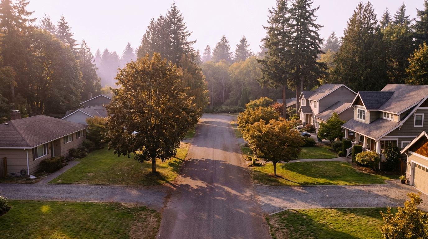

Buyer ResourcesKing County CitiesSouth King County July 27, 2026

Living in Steel Lake, Federal Way WA | 2026 Guide

Steel Lake and downtown Federal Way sit at the center of the city, and in 2026 that location is worth more than it used to be. The Federal Way Downtown Station opened in December 2025, putting light rail within walking distance of parts of this neighborhood for the first time. Add Steel Lake Park, the city’s largest community park, and the S 320th Street corridor anchored by The Commons, and you get a neighborhood that trades postcard scenery for real day-to-day convenience. This is Federal Way’s walkable urban edge, and buyers who want transit and affordability over acreage are paying attention.

What is it actually like to live in Steel Lake in 2026?

On a Tuesday morning, S 320th Street carries most of the neighborhood’s traffic toward I-5, while the residential streets around the lake stay quieter under mature trees that have shaded these blocks for decades. Dog walkers and joggers use the paved path around Steel Lake Park before the corridor picks up for the day, and walking to the Federal Way Downtown Station is genuinely practical for some of the closer-in addresses, a new enough option that residents are still getting used to it.

Weekends center on Steel Lake Park. The swim beach draws families in summer, the picnic shelters and horseshoe pits stay busy on clear afternoons, and permitted anglers fish for stocked rainbow trout and bass. The Commons and the surrounding S 320th corridor handle shopping and errands without much of a drive, which matters in a neighborhood built for convenience rather than seclusion.

Steel Lake tends to attract buyers who prioritize transit access, walkability, and price over lot size or newer construction. Long-time owners are common in the older ramblers closer to the lake, while the area near the transit station is starting to see turnover as buyers price in the new light rail connection. Compared to a golf-course community like Twin Lakes, Steel Lake reads as more urban, more transit-oriented, and more affordable.

Steel Lake Park swim beach and picnic area in Federal Way, WA, the neighborhood's anchor green space
Steel Lake Park is Federal Way’s largest community park, with a swim beach, picnic shelters, and a boat launch for non-motorized watercraft.

Homes in Steel Lake: What the Data Shows

Homes in Steel Lake and the downtown core typically run 1,200 to 2,400 sq ft on lots from 6,000 to 10,000 sq ft, among the most accessible price points in Federal Way. Most single-family homes date from the 1960s through the 1980s, with ramblers and split-levels dominant closer to the lake. Nearer downtown and the transit station, the stock skews toward smaller lots, older multifamily buildings, and newer townhome and apartment construction responding to the light rail arrival. This isn’t a neighborhood defined by one builder or era. It’s defined by its central location.

Market data as of June 2026, from NWMLS-sourced monthly exports. Figures reflect Federal Way citywide residential data, since NWMLS does not separately track neighborhood-level pricing, days on market, or inventory trend for Steel Lake specifically.

Market Pulse Steel Lake (Federal Way citywide) King County
Median Sales Price (June 2026) ~$675,000 ~$998,000
Median Days on Market ~11 days ~10 days
Active Listings Change (vs. Jan 2026) +132% (Federal Way citywide) +127%

Schools Serving Steel Lake

Wildwood Elementary, located inside the Steel Lake neighborhood itself, serves as the closest elementary option for many addresses here, followed by Sacajawea Middle School and Todd Beamer High School. All three are part of the Federal Way School District. Because downtown Federal Way sits close to several attendance boundaries, always verify your exact address against the district’s boundary map before writing an offer, since addresses on opposite sides of S 320th Street or the lake can fall into different assignments.

Wildwood Elementary is a smaller PK through 5 school serving the immediate Steel Lake area. Sacajawea Middle School continues into grades 6 through 8 with a Gifted and Talented program and a Cambridge International option, then feeds Todd Beamer High School for grades 9 through 12. The typical pipeline runs Wildwood within a short walk or bus ride for most Steel Lake addresses, then on to Sacajawea on S Dash Point Road, then Todd Beamer on 16th Avenue S. Confirm your exact attendance zone with the district before making an offer, since this central part of Federal Way sits close enough to other boundaries that assignment can shift block by block.

Getting to Work from Steel Lake

Take S 320th Street west to I-5 at exit 143, a few minutes from most Steel Lake addresses, then head north toward Seattle or south toward Tacoma. The bigger change in 2026 is the Federal Way Downtown Station, putting 1 Line light rail and RapidRide A Line bus service within walking distance of some closer-in blocks, a genuinely new option for commuters who used to be entirely car-dependent here.

Destination Distance 2026 Drive Time (Peak AM) Transit Option
Downtown Seattle 25 miles 30 to 50 min 1 Line direct from Federal Way Downtown Station
Bellevue / Amazon 23 miles 35 to 50 min I-5 to I-405 / Drive
Microsoft (Redmond) 30 miles 45 to 65 min I-5 to I-405 to SR-520
SeaTac Airport 9 miles 12 to 20 min 1 Line direct from Federal Way Downtown Station

Drive times assume the S 320th Street corridor to I-5, the fastest route from most Steel Lake addresses. Light rail travel times will settle in as ridership patterns mature following the station’s December 2025 opening.

Rambler-style home exterior typical of the Steel Lake / Downtown Core neighborhood of Federal Way, WA
Steel Lake homes are mostly 1960s to 1980s ramblers and split-levels, with newer construction concentrated closer to downtown.

What I See as a Valuation Expert in Steel Lake

When I assess homes here for institutional clients, proximity to Steel Lake Park and updated systems typically drive more of the value swing than square footage alone. A home within easy walking distance of the park tends to price above a comparable home a half-mile away, even before accounting for updates. Because so much of the stock here dates to the 1960s through 1980s, the condition of the roof, furnace, and electrical panel matters more here than in a neighborhood with newer, more uniform construction.

The arrival of the Federal Way Downtown Station has started to show up in how buyers talk about this area, even though the data hasn’t fully caught up yet. Homes within a genuine walk of the station tend to draw more interest than the raw square footage suggests, and that gap typically widens as more riders settle into using the line. HOA-free streets here also mean individual home condition and yard upkeep carry more weight than in a managed community.

Homes near Steel Lake Park, homes with updated major systems, and homes closest to the new transit station tend to move first and price strongest. Interior lots farther from both the lake and the station price more predictably and offer the most accessible entry point into Federal Way homeownership.

Explore Steel Lake Yourself

View Steel Lake on Google Maps →

Q: Is Steel Lake a good place to live?

A: Steel Lake works well if you want maximum transit access, walkable shopping along S 320th Street, and one of the more accessible price points in Federal Way. It suits buyers who value convenience and connectivity over lot size or newer construction.

Q: What are homes like in Steel Lake?

A: Most single-family homes run 1,200 to 2,400 sq ft on lots from 6,000 to 10,000 sq ft, built mostly between the 1960s and 1980s. Closer to downtown, the housing stock includes older multifamily buildings and newer townhome and apartment construction responding to the light rail arrival.

Q: What schools serve Steel Lake?

A: Wildwood Elementary, Sacajawea Middle School, and Todd Beamer High School typically serve this area, all part of the Federal Way School District. Always verify your specific address, since this central part of the city sits close to several attendance boundaries.

Q: How far is Steel Lake from Seattle?

A: Steel Lake is about 25 miles from downtown Seattle. The Federal Way Downtown Station puts 1 Line light rail within walking distance of some addresses, making the trip roughly 30 to 50 minutes depending on connections and time of day.

Your guide to life outside Seattle.

Gregory Dorrell | Coldwell Banker Bain | WA License #111862
253-350-0045  ·
greg@livingoutsideseattle.com  ·
www.livingoutsideseattle.com
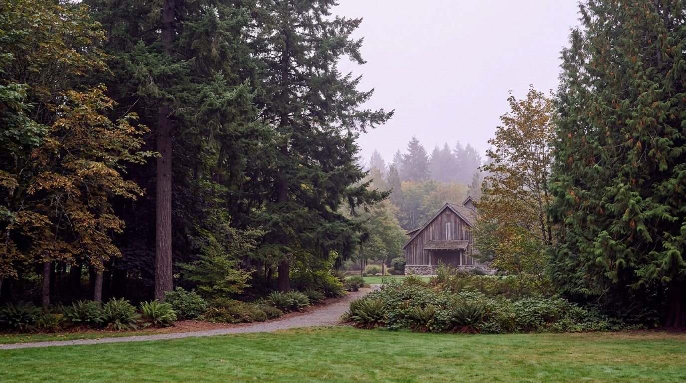

Buyer ResourcesKing County CitiesSouth King County July 26, 2026

Living in Twin Lakes, Federal Way WA | 2026 Guide

Twin Lakes sits in the western-central part of Federal Way, and it has held its identity since the community was first built out in 1966. This is one of the few Federal Way neighborhoods organized entirely around a shared amenity, in this case a private golf course and three man-made lakes, and that structure shapes everything from the HOA rules to the resale pattern. If you want a mature, well-kept neighborhood with real community infrastructure behind it, this is where to start looking in Federal Way.

What is it actually like to live in Twin Lakes in 2026?

On a Tuesday morning, the streets inside Twin Lakes are quiet well past the hour most Federal Way neighborhoods are already busy with school drop-off traffic. Mature trees planted decades ago now shade most of the interior streets, and the golf course frontage means a good share of homes back onto open green space instead of a neighbor’s fence line. Commuters heading out toward I-5 or SR-99 budget a few extra minutes to clear the neighborhood’s internal streets before picking up speed on the arterials.

Weekends center on the community’s own infrastructure. Residents walk the paths around the three lakes, and permitted anglers fish for catch and release on Lake Jeane and the other lakes under the HOA’s own rules. Twin Lakes Golf & Country Club draws golfers to the 18-hole course, and the club’s dining room and banquet space host neighborhood events and private parties throughout the year.

Twin Lakes tends to attract buyers who want an established, low-turnover community with real amenities already built in, rather than a newer subdivision still finding its identity. Long-tenured owners are common, and the HOA’s active role in maintaining parks, lakes, and common areas gives the neighborhood a more managed feel than most of Federal Way. Compared to newer-build areas like Wynstone or The Villages, Twin Lakes reads as older, greener, and more settled.

Golf course fairway and walking path beside a man-made lake in the Twin Lakes neighborhood of Federal Way, WA
Twin Lakes is built around a private 18-hole golf course and three man-made lakes, with walking paths and parks maintained by the HOA.

Homes in Twin Lakes: What the Data Shows

Twin Lakes is a planned community of about 1,356 homes, and most were built between 1972 and 1990. Typical homes run 1,800 to 3,000 sq ft on lots from 7,500 to 12,000 sq ft, with a mix of split-level, rambler, and two-story designs common to that build era. Golf course frontage and lake-view lots make up a smaller share of the total inventory and carry a real premium over interior lots. The HOA’s consistent aesthetic standards and long tenure of ownership mean turnover here tends to run lower than in newer Federal Way subdivisions.

Market data as of June 2026, from NWMLS-sourced monthly exports. Figures reflect Federal Way citywide residential data, since NWMLS does not separately track neighborhood-level pricing, days on market, or inventory trend for Twin Lakes specifically.

Market Pulse Twin Lakes (Federal Way citywide) King County
Median Sales Price (June 2026) ~$675,000 ~$998,000
Median Days on Market ~11 days ~10 days
Active Listings Change (vs. Jan 2026) +132% (Federal Way citywide) +127%

Schools Serving Twin Lakes

Most Twin Lakes addresses feed into Twin Lakes Elementary School, followed by Lakota Middle School and Decatur High School. All three are part of the Federal Way School District. Because the neighborhood spans a fairly wide footprint around the golf course and lakes, always verify your exact address against the district’s boundary map before writing an offer, since a small number of addresses near the neighborhood edge can fall into a different elementary assignment.

Twin Lakes Elementary is a smaller PK through 5 school serving roughly 370 students. Lakota Middle School continues into grades 6 through 8 with a Gifted and Talented program, Project Lead The Way curriculum, and a Cambridge International option. Decatur High School serves grades 9 through 12 with Advanced Placement coursework, a Gifted and Talented program, and an average graduating GPA of 3.34.

The typical pipeline runs Twin Lakes Elementary within a short bus ride for most addresses in the neighborhood, then on to Lakota Middle School on SW 314th Street, then Decatur High School on SW 320th Street. Families should confirm their exact attendance zone with the district, since addresses near the neighborhood’s outer boundary sometimes bus to a different elementary school.

Getting to Work from Twin Lakes

Twin Lakes sits close enough to SW 320th Street and SW 336th Street to reach I-5 or SR-99 in a few minutes once you clear the neighborhood’s internal streets. King County Metro’s Route 903 DART service connects Twin Lakes to the Federal Way Transit Center, where RapidRide A Line and the 1 Line light rail extend service north to Seattle and south to Tacoma.

Destination Distance 2026 Drive Time (Peak AM) Transit Option
Downtown Seattle 26 miles 35 to 55 min Route 903 to RapidRide A to 1 Line
Bellevue / Amazon 24 miles 40 to 55 min I-5 to I-405 / Drive
Microsoft (Redmond) 33 miles 50 to 70 min I-5 to I-405
SeaTac Airport 11 miles 15 to 25 min Route 903 to RapidRide A to 1 Line

Twin Lakes’ internal streets add a few minutes to any trip before reaching the arterials, a tradeoff most residents accept for the quieter, more established setting inside the neighborhood.

1970s and 1980s split-level home exterior typical of the Twin Lakes neighborhood in Federal Way, WA
Twin Lakes homes are mostly split-level and rambler designs built between 1972 and 1990, set on mature, tree-lined lots.

What I See as a Valuation Expert in Twin Lakes

When I assess homes here for institutional lenders, golf course frontage and lake proximity typically drive more of the value swing than square footage alone. A home backing directly onto the fairway or facing one of the three lakes tends to price above a comparable interior-lot home nearby, even when the finish level and layout are close to identical. HOA-maintained curb appeal across the neighborhood also means individual home condition stands out more clearly here than in areas with less consistent upkeep.

Because Twin Lakes has carried the same HOA structure and community identity since the 1960s, deferred maintenance on an individual home reads as more of an outlier here than in a newer subdivision where uneven quality is more common across the board. Updated kitchens and baths on an otherwise well-kept split-level or rambler tend to move the needle more here than a full remodel would in a less consistent neighborhood, since buyers are already paying for the setting and infrastructure.

Homes with confirmed golf course or lake frontage, homes on quieter interior loop streets away from SW 320th and SW 336th, and homes with updated systems tend to move first and price strongest. Interior lots without a view or fairway backdrop price more predictably and offer a lower entry point for buyers who want the neighborhood’s community infrastructure without the premium.

Explore Twin Lakes Yourself

View Twin Lakes on Google Maps →

Q: Is Twin Lakes a good place to live?

A: Twin Lakes works well if you want an established, community-driven neighborhood with a private golf course, lakes, and parks already built into the HOA structure. It suits buyers who value long-term stability and shared amenities over newer construction or a lower HOA cost.

Q: What are homes like in Twin Lakes?

A: Most homes were built between 1972 and 1990, typically 1,800 to 3,000 sq ft on lots from 7,500 to 12,000 sq ft. Golf course frontage and lake-view lots make up a smaller share of the roughly 1,356 total homes and carry a real premium over interior lots.

Q: What schools serve Twin Lakes?

A: Most Twin Lakes addresses feed into Twin Lakes Elementary, Lakota Middle School, and Decatur High School, all part of the Federal Way School District. Always verify your specific address, since assignment can vary near the neighborhood’s edges.

Q: How far is Twin Lakes from Seattle?

A: Twin Lakes is about 26 miles from downtown Seattle. King County Metro’s Route 903 connects to RapidRide A Line and the 1 Line light rail at the Federal Way Transit Center, making the trip in roughly 35 to 55 minutes depending on connections and time of day.

Your guide to life outside Seattle.

Gregory Dorrell | Coldwell Banker Bain | WA License #111862
253-350-0045  ·
greg@livingoutsideseattle.com  ·
www.livingoutsideseattle.com
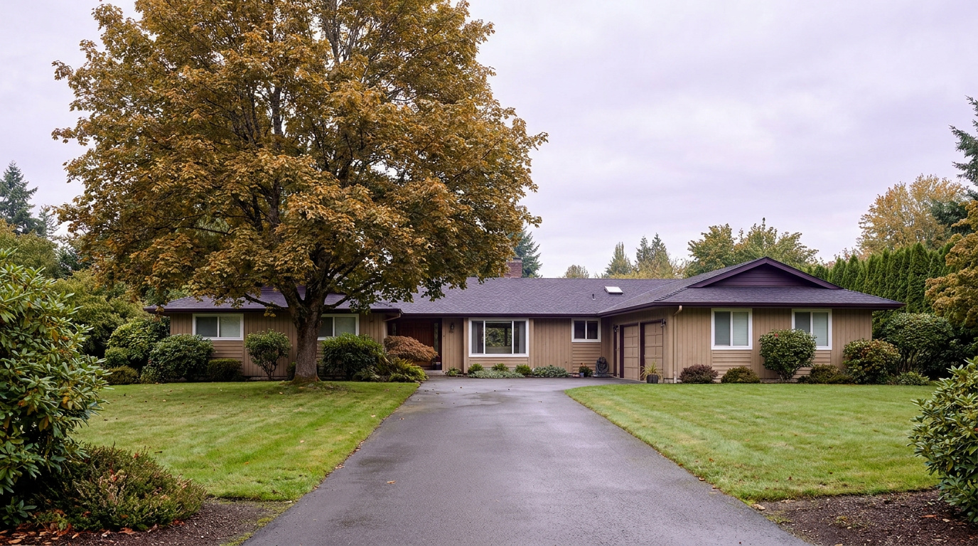

Buyer ResourcesKing County CitiesSouth King County July 25, 2026

Living in Dash Point, Federal Way WA | 2026 Guide

Dash Point sits in the northwest corner of Federal Way, and it does not look or feel like the rest of the city. This is the neighborhood with the Sound views, the forest canopy, and the sandy beach most people do not expect to find in Federal Way at all. Lakota sits just inland, sharing the same wooded, unhurried character without the waterfront premium. If you want coastal Pacific Northwest living at Federal Way prices, this corner of the city is where you start looking.

What is it actually like to live in Dash Point in 2026?

On a Tuesday morning, Dash Point Road winds through tall fir trees before the trees open up and the Sound comes into view. Traffic is light this far from the I-5 corridor, and most of what you hear driving through is wind in the trees rather than highway noise. Commuters here budget extra time to get out to Pacific Highway South or SR-509 before picking up speed, since the roads in the neighborhood itself are narrow and residential by design.

Weekends center on the park. Dash Point State Park’s beach draws walkers, kayakers, and beachcombers looking for starfish and crabs at low tide, and the trail network sees steady use from both hikers and mountain bikers. Lakota residents a few blocks inland get the same forested feel without the beach traffic, which is part of why some buyers prefer it.

Dash Point tends to attract buyers who want privacy, trees, and water views without paying Seattle or Bellevue waterfront prices. Lakota draws a similar buyer who wants the wooded setting and good school assignment without the view premium. Compared to the rest of Federal Way, this corner of the city reads as quieter, greener, and more removed from the commercial corridors that define neighborhoods like Steel Lake or South Federal Way.

Puget Sound beach and forested trails at Dash Point State Park in Federal Way, WA
Dash Point State Park gives the neighborhood 398 acres of forest, 11 miles of trails, and 3,301 feet of Puget Sound shoreline.

Homes in Dash Point: What the Data Shows

Homes in Dash Point and Lakota span a wider range of eras than most Federal Way neighborhoods, from 1960s and 1970s ramblers to newer custom builds on view lots. Most homes run 1,800 to 3,500 sq ft, with lot sizes and setbacks varying more here than in a planned subdivision, since the neighborhood grew up around the terrain rather than a single builder’s site plan. Waterfront and view-lot properties command a real premium over interior lots a few blocks inland. Lakota’s housing stock leans slightly newer and more uniform, with fewer view premiums and a more consistent price band.

Market data as of June 2026, from NWMLS-sourced monthly exports. Figures reflect Federal Way citywide residential data, since NWMLS does not separately track neighborhood-level pricing, days on market, or inventory trend for Dash Point or Lakota specifically.

Market Pulse Dash Point / Lakota (Federal Way citywide) King County
Median Sales Price (June 2026) ~$675,000 ~$899,000
Median Days on Market ~11 days ~12 days
Active Listings Change (vs. Jan 2026) +132% (Federal Way citywide) +102%

Schools Serving Dash Point

Most Dash Point and Lakota addresses attend Lake Grove Elementary School, followed by Lakota Middle School and Decatur High School. All three are part of the Federal Way School District. Because Dash Point spans a large geographic area along the waterfront, school assignment can vary by specific address, so always verify against the district’s boundary map before writing an offer.

Lake Grove Elementary offers a Gifted and Talented program and Project Lead The Way curriculum for grades PK through 5. Lakota Middle School continues both programs into grades 6 through 8, plus a Cambridge International curriculum option. Decatur High School serves grades 9 through 12 with Advanced Placement coursework, a Gifted and Talented program, and an average graduating GPA of 3.34.

The typical pipeline runs Lake Grove Elementary within a short bus ride for most Dash Point and Lakota addresses, then a bus to Lakota Middle School on SW 314th Street, then Decatur High School on SW 320th Street. Families should confirm their exact attendance zone with the district, since the waterfront and inland sections of this neighborhood can fall into slightly different bus routes.

Getting to Work from Dash Point

Dash Point’s location in the northwest corner of Federal Way means most commutes start with a drive out to Pacific Highway South or SR-509 before picking up I-5. The RapidRide A Line stops at Pacific Highway South and Dash Point Road and runs every 10 to 15 minutes toward the Federal Way Downtown transit center, where the 1 Line light rail connects north to Seattle and SeaTac.

Destination Distance 2026 Drive Time (Peak AM) Transit Option
Downtown Seattle 30 miles 40 to 60 min RapidRide A to 1 Line Light Rail
Bellevue / Amazon 28 miles 45 to 60 min I-5 to I-405 / Drive
Microsoft (Redmond) 37 miles 55 to 75 min SR-509 to I-405
SeaTac Airport 14 miles 20 to 30 min RapidRide A to 1 Line Light Rail

Dash Point sits further from the freeway than most Federal Way neighborhoods, which trades a few extra minutes of drive time for the wooded, low-traffic setting residents choose it for.

Wooded lot home exterior typical of Dash Point and Lakota neighborhoods in Federal Way, WA
Dash Point and Lakota homes range from 1960s and 1970s ramblers to newer custom builds on wooded and view lots.

What I See as a Valuation Expert in Dash Point

When I assess homes here for institutional lenders, view and waterfront proximity carry more of the value swing than in almost any other Federal Way neighborhood. A home on the bluff with a clear Sound view can price meaningfully above a comparable home two streets inland with no view at all, even when the square footage and finish level are similar. Lot size and tree cover also matter more here than in a flat, uniform subdivision, since the terrain itself varies block to block.

Curb appeal and basic maintenance matter, but in Dash Point the site itself often does more of the work than the house. A well-maintained interior-lot home a few blocks from the water typically commands a smaller premium than a modest home with an unobstructed view, which surprises some buyers used to thinking about value in square-foot terms alone.

Homes with confirmed Sound views, homes closest to Dash Point State Park, and homes with updated systems on larger wooded lots tend to move first and price strongest. Lakota’s interior, view-free lots price more predictably and offer a lower entry point for buyers who want the neighborhood’s character without the waterfront premium.

Explore Dash Point Yourself

View Dash Point on Google Maps →

Q: Is Dash Point a good place to live?

A: Dash Point works well if you want Puget Sound views, forest trails, and a quieter, wooded setting without leaving Federal Way’s price range. It is not the most convenient neighborhood for quick freeway access, so it suits buyers who prioritize setting and views over a short commute.

Q: What are homes like in Dash Point?

A: Homes range from 1960s and 1970s ramblers to newer custom builds, typically 1,800 to 3,500 sq ft. Waterfront and view lots command a real premium over interior lots a few blocks inland, and Lakota’s housing stock runs slightly newer and more consistent in price.

Q: What schools serve Dash Point?

A: Most Dash Point and Lakota addresses feed into Lake Grove Elementary, Lakota Middle School, and Decatur High School, all part of the Federal Way School District. Always verify your specific address, since assignment can vary by street.

Q: How far is Dash Point from Seattle?

A: Dash Point is about 30 miles from downtown Seattle. The RapidRide A Line connects to the 1 Line light rail at the Federal Way Downtown transit center, making the trip in roughly 40 to 60 minutes depending on connections and time of day.

Your guide to life outside Seattle.

Gregory Dorrell | Coldwell Banker Bain | WA License #111862
253-350-0045  ·
greg@livingoutsideseattle.com  ·
www.livingoutsideseattle.com
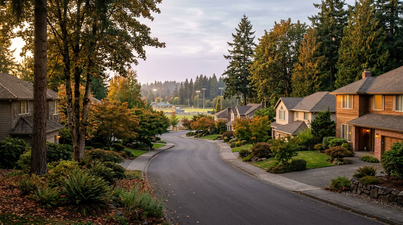

AuburnBuyer ResourcesKing County CitiesSouth King County July 25, 2026

Living in The Bridges, Auburn WA | 2026 Neighborhood Guide

The Bridges is one of the more interesting real estate stories in Auburn right now, and most buyers do not know the backstory. This master-planned neighborhood on Lea Hill was annexed from the city of Kent to the city of Auburn in 2023, after roughly 1,000 residents and 379 homes on 155 acres switched municipalities by council vote. Oakpointe built the community on land the city of Kent originally purchased in 1987 for a water reservoir project that never happened. Today it is a newer-construction, master-planned pocket of Auburn with maintained trails, a dog park, and protected wetlands built into the site plan. If you want a newer home with real amenities and you are looking at Auburn in 2026, The Bridges is worth a serious look.

What is it actually like to live in The Bridges in 2026?

On a Tuesday morning, The Bridges feels like a neighborhood still filling in. Streets are wide and curving, sidewalks are new, and you will see landscaping crews working front yards that come with maintenance built into the HOA. Commuters head out toward Lea Hill Road to connect to SR-18 or down toward Auburn Station for the Sounder train into Seattle or Tacoma. The pace is quieter than the valley floor below. Mountain views show up on a surprising number of lots, especially on the higher streets toward the east side of the community.

Weekends center on the neighborhood’s own amenities. The dog park and trail system get steady use, and the protected wetlands areas give the community a buffer of green space that many newer Auburn subdivisions do not have. Families walk to the sports court or the playground rather than driving. Green River College is close enough that some residents use its trails and campus green space as an extension of their own backyard, and the college’s continuing education classes pull in a mix of neighbors who are not traditional students.

The Bridges tends to attract buyers who want a newer, more finished product than most of Auburn offers, plus a little more polish in the streetscape. Because it was Kent land until 2023, it also draws people who already knew the area from its Kent-adjacent years and simply prefer the lower Auburn price point and tax structure. Compared to older Auburn neighborhoods like North Auburn or South Auburn, the housing stock here is dramatically newer, and the HOA-maintained common areas give it a different feel than a typical infill subdivision.

Maintained trail and dog park amenity inside The Bridges neighborhood on Lea Hill in Auburn, WA
The Bridges includes its own trail system, dog park, and protected wetlands as part of the master-planned site.

Homes in The Bridges: What the Data Shows

Homes in The Bridges are almost entirely 2000s and 2010s construction, built by Oakpointe and other builders as the master plan filled in over roughly two decades. Most homes run 2,000 to 2,900 sq ft, with three to five bedrooms and two-and-a-half bathrooms being the norm. Lots tend to be standard suburban size rather than the larger acreage lots found in some other Auburn neighborhoods, and a meaningful share of homes back onto trail corridors, wetlands buffers, or have partial mountain views depending on elevation and orientation. The finish level runs a step above much of Auburn’s older housing stock, with more consistent architectural styling across the streetscape because of the master-planned design.

Market Pulse The Bridges (98092) King County
Median Sales Price (June 2026) ~$713,000 ~$998,000
Median Days on Market ~8 days (Auburn citywide) ~10 days
Active Listings Change (vs. Jan 2026) +135% (Auburn citywide) +127%

Market data as of June 2026, from NWMLS-sourced monthly exports. The Bridges-specific median price ($713,250, single-family homes sold in the prior six months) comes from active MLS-sourced listing aggregation as of this post’s research date; median days on market and listings change reflect Auburn citywide residential figures, since NWMLS does not separately track neighborhood-level DOM or inventory trend for The Bridges.


Schools Serving The Bridges

The Bridges sits within the Auburn School District, and the neighborhood’s northeast corner of Lea Hill is generally close to Lea Hill Elementary School, with Hazelwood Elementary also nearby depending on the specific street. Students typically move on to Rainier Middle School and then Auburn Mountainview High School, both located within a mile or two of the neighborhood. Because The Bridges only fully joined Auburn in 2023 after its Kent annexation, always confirm your exact school assignment with the district before writing an offer. Boundary lines in recently annexed areas can shift, and address-level verification is the only reliable way to know for certain.

Auburn Mountainview High School offers AP coursework, 21 sports programs, and a Gifted and Talented program, and has earned multiple College Success Awards for its record preparing students for college. Rainier Middle School offers a Gifted and Talented program along with athletics, serving roughly 940 students in grades 6 through 8. Lea Hill Elementary reopened in a rebuilt facility in 2022, giving Lea Hill families a newer elementary campus than much of the rest of the district.

For a typical Bridges family, the day-in-the-life pipeline usually means walking or a short bus ride to elementary school within the neighborhood or just outside it, a bus ride to Rainier Middle School, and either a bus or a short drive to Auburn Mountainview High School for the older grades. None of these schools are within comfortable walking distance for older kids, so plan on bus service or parent drop-off as part of daily life here.

Getting to Work from The Bridges

From The Bridges, take Lea Hill Road down toward Auburn Way North, then connect to SR-18 or Highway 167 depending on your destination. King County Metro Route 181 runs along Lea Hill Road and connects to Auburn Station for Sounder commuter rail service into Seattle and Tacoma without ever touching the freeway.

Destination Distance 2026 Drive Time (Peak AM) Transit Option
Downtown Seattle 32 miles 50 to 70 min Metro 181 to Sounder
Bellevue / Amazon 22 miles 40 to 55 min SR-18 to I-405
Microsoft (Redmond) 27 miles 45 to 60 min SR-18 to I-405 to SR-520
SeaTac Airport 15 miles 25 to 35 min SR-167 to I-5

Newer construction two-story home exterior in The Bridges master-planned neighborhood, Auburn, WA
A newer-construction home typical of The Bridges, reflecting the master-planned community’s 2000s and 2010s building era.

What I See as a Valuation Expert in The Bridges

When I assess homes here for institutional lenders, the lot’s relationship to the trail and wetlands buffer tends to drive a real chunk of the value. Homes backing onto protected green space or with a genuine mountain-view sightline typically command a premium over an identical floor plan on an interior lot. Buyers pay attention to that view corridor, and it shows up consistently in what a home is willing to sell for.

HOA dues here cover the shared trail system, the dog park, common area landscaping, and front yard maintenance on many homes, which keeps the whole streetscape looking consistent. That consistency is part of what buyers are paying for, but it also means HOA rules and dues matter more here than in an older Auburn subdivision with no HOA at all. Always pull the HOA documents and understand what the dues cover and what restrictions apply before writing an offer.

Streets closer to the protected wetlands, the dog park, and the higher elevation with mountain views tend to move first and hold value best. Homes on more interior streets without those features still sell, but typically at a modest discount relative to the community’s premium lots.

The 10-Year Lens

The Bridges has a strong long-term case as a newer-construction alternative to Auburn’s older housing stock, with real amenities baked into the site plan and a lower entry price than comparable master-planned communities in Kent or Renton. The honest counter-risk: HOA dues and rules add an ongoing cost and a layer of restriction that not every buyer wants, and King County’s growing 2026 inventory means less urgency and more negotiating room for buyers than the neighborhood saw in recent years. Appreciation here will likely track the broader South King County market rather than significantly outpace it.

Frequently Asked Questions: Living in The Bridges, Auburn WA

Q: Is The Bridges a good place to live?
A: The Bridges works well if you want a newer-construction home with maintained trails, a dog park, and mountain-view potential, all within a short drive of Green River College and Auburn Station. It suits buyers who value HOA-maintained common areas and are comfortable with the dues and rules that come with them.

Q: What are homes like in The Bridges?
A: Most homes date from the 2000s and 2010s, running roughly 2,000 to 2,900 sq ft with three to five bedrooms. The median sale price was about $713,000 as of mid-2026, with homes averaging around $292 per square foot.

Q: What schools serve The Bridges?
A: Students typically attend Lea Hill Elementary or Hazelwood Elementary, then Rainier Middle School, and finally Auburn Mountainview High School, all part of the Auburn School District. Always verify your specific address with the district before writing an offer.

Q: Was The Bridges always part of Auburn?
A: No. The Bridges was originally within the city of Kent’s boundaries. In 2023, both city councils approved annexing the roughly 1,000-resident, 379-home neighborhood from Kent into Auburn.

Explore The Bridges Yourself

The best way to know if The Bridges fits your life is to drive it yourself. Walk the trail system, check out the dog park, and see which streets catch the mountain view before you fall in love with a listing photo.

View The Bridges on Google Maps

Your guide to life outside Seattle.

Gregory Dorrell | Coldwell Banker Bain | WA License #111862
253-350-0045  ·
greg@livingoutsideseattle.com  ·
www.livingoutsideseattle.com
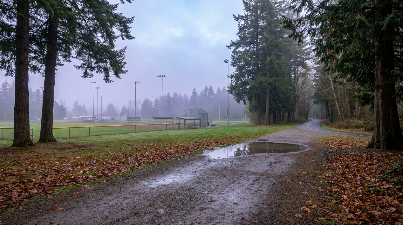

AuburnBuyer Resources July 25, 2026

Living in South Auburn, Auburn WA | 2026 Guide

South Auburn is not the neighborhood people picture when they think of Auburn real estate, and that is exactly why it is worth a look in 2026. This is the stretch of the city running along Auburn Way South toward the Muckleshoot Casino Resort and the Pierce County line. The corridor itself is heavily commercial, lined with restaurants, retail, and the tribal businesses of the Muckleshoot Indian Tribe. But tucked around and behind that commercial spine are older residential pockets where buyers can still find single-family homes at Auburn’s lowest price per square foot. If you are priced out of Lea Hill or The Bridges and want to stay in Auburn, this is where the math starts to work.

What is it actually like to live in South Auburn in 2026?

On a Tuesday morning, Auburn Way South carries steady traffic past strip malls, the Muckleshoot Casino Resort, and a mix of older single-story homes set back on side streets. This is a working corridor first. Commuters heading toward Auburn Station or south toward SR-164 and the Enumclaw Plateau use this stretch daily, and the commercial density means errands rarely require leaving the neighborhood. Residential streets tend to sit a block or two off the main drag, quieter than the corridor itself but still close enough to hear traffic on busier days.

Weekends lean toward the practical. Game Farm Park’s ball fields and paved loop trail see steady use from residents who want green space without driving across town, and the casino resort and its restaurant options draw both locals and visitors from outside Auburn. This is not a neighborhood built around a master-planned amenity package. It is a neighborhood built around convenience, affordability, and proximity to the corridor’s jobs and services.

South Auburn tends to attract buyers focused strictly on value and South King County employment proximity. Compared to Lea Hill or The Bridges, the housing stock here is older and the streetscape less uniform, but the price gap is real. This is also one of the more racially and economically diverse pockets of Auburn, shaped in part by its adjacency to the Muckleshoot Reservation and the tribal community and employment base centered there.

Paved loop trail and ball fields at Game Farm Park along the Stuck River, near South Auburn in Auburn, WA
Game Farm Park gives South Auburn residents an 88-acre community park with ball fields and a paved riverside trail.

Homes in South Auburn: What the Data Shows

Homes in South Auburn run mostly 1960s to 1990s construction, a generation or two older than the newer-build pockets on Lea Hill. Most single-family homes fall between 1,000 and 2,000 sq ft on lots from 5,000 to 8,500 sq ft, with a mix of ranch-style and split-level layouts typical of that construction era. There is no dominant master-plan builder here the way there is in The Bridges or Lakeland Hills. Instead, homes were built out gradually as individual lots and small subdivisions filled in along and behind the commercial corridor. Buyers should expect more variation in condition and updates from house to house than in Auburn’s newer neighborhoods, which is part of why per-square-foot prices run lower here than almost anywhere else in the city.

Market data as of June 2026, from NWMLS-sourced monthly exports. Figures reflect Auburn citywide residential data, since NWMLS does not separately track neighborhood-level pricing, days on market, or inventory trend for South Auburn specifically.

Market Pulse South Auburn (Auburn citywide) King County
Median Sales Price (June 2026) ~$650,000 ~$998,000
Median Days on Market ~8 days ~10 days
Active Listings Change (vs. Jan 2026) +135% (Auburn citywide) +127%

Schools Serving South Auburn

Students in South Auburn generally attend Chinook Elementary School, which sits directly on Auburn Way South, followed by Cascade Middle School and Auburn Senior High School. All three are part of the Auburn School District. Because this area covers a stretch of the city rather than a single platted subdivision, school assignment can vary block by block. Always verify your specific address against the district’s boundary map before writing an offer.

Chinook Elementary serves grades PK through 5 with a roughly 15 to 1 student-teacher ratio, slightly better than the district average. Cascade Middle School runs a Gifted and Talented program alongside its standard curriculum for grades 6 through 8. Auburn Senior High offers Advanced Placement coursework and 19 sports programs for grades 9 through 12, with an average graduating GPA of 3.36.

The typical pipeline runs Chinook Elementary within walking or short-bus distance for most South Auburn addresses, then a bus ride to Cascade Middle School on 24th Street NE, then Auburn Senior High on East Main Street. Families should confirm their exact attendance zone with the district, since South Auburn’s boundary work differently than the more uniform newer subdivisions elsewhere in the city.

Getting to Work from South Auburn

South Auburn’s location along Auburn Way South puts it close to SR-18 and SR-164 for regional access, and Auburn Station is a straight shot north on Auburn Way for anyone commuting by Sounder train.

Destination Distance 2026 Drive Time (Peak AM) Transit Option
Downtown Seattle 28 miles 45 to 65 min Sounder from Auburn Station
Bellevue / Amazon 24 miles 40 to 55 min SR-18 to I-405
Microsoft (Redmond) 30 miles 50 to 65 min SR-18 to I-405 to SR-520
SeaTac Airport 14 miles 20 to 30 min SR-167 to I-5

Single-story ranch style home exterior typical of South Auburn's older residential streets in Auburn, WA
South Auburn’s housing stock leans toward 1960s to 1990s single-story and split-level homes.

What I See as a Valuation Expert in South Auburn

When I assess homes here for institutional lenders, condition and updates carry more of the value swing than they do in Auburn’s newer subdivisions. Because construction spans several decades and building styles, two homes on the same block can price very differently depending on whether the kitchen, roof, and systems have been touched since the 1990s. Lot size and setback from Auburn Way South itself also factor in. Homes tucked a block or two off the corridor tend to hold value better than ones directly fronting the busier commercial stretch.

Curb appeal and basic maintenance matter more here than in a master-planned HOA neighborhood, simply because there is no HOA enforcing a baseline. A well-maintained older home with an updated roof, windows, and mechanical systems tends to command a real premium over a comparable unrenovated home nearby. Buyers doing their own value assessment should walk the block, not just the listing photos.

Homes set back from Auburn Way South on quieter residential streets, and homes with updated kitchens or newer roofs, tend to move first and price strongest. Proximity to Game Farm Park is also a factor buyers ask about, since it is one of the few larger green spaces in this part of the city.

Explore South Auburn Yourself

View South Auburn on Google Maps →

Q: Is South Auburn a good place to live?

A: South Auburn works well if you want Auburn’s most affordable single-family homes and easy access to Auburn Way South’s restaurants, retail, and the Muckleshoot Casino Resort. It is a more transitional, commercially dense area than neighborhoods like The Bridges or Lea Hill, so it suits buyers prioritizing value and location over a polished, uniform streetscape.

Q: What are homes like in South Auburn?

A: Most homes date to the 1960s through 1990s, running 1,000 to 2,000 sq ft on lots from 5,000 to 8,500 sq ft. Condition and updates vary significantly from house to house since there is no master-plan builder or HOA standardizing the stock.

Q: What schools serve South Auburn?

A: Most South Auburn addresses feed into Chinook Elementary, Cascade Middle School, and Auburn Senior High School, all part of the Auburn School District. Always verify your specific address, since boundaries can shift block by block in this part of the city.

Q: How far is South Auburn from Seattle?

A: South Auburn is about 28 miles from downtown Seattle. The Sounder commuter train from nearby Auburn Station makes the trip in roughly 45 to 65 minutes depending on schedule and time of day.

Your guide to life outside Seattle.

Gregory Dorrell | Coldwell Banker Bain | WA License #111862
253-350-0045  ·
greg@livingoutsideseattle.com  ·
www.livingoutsideseattle.com
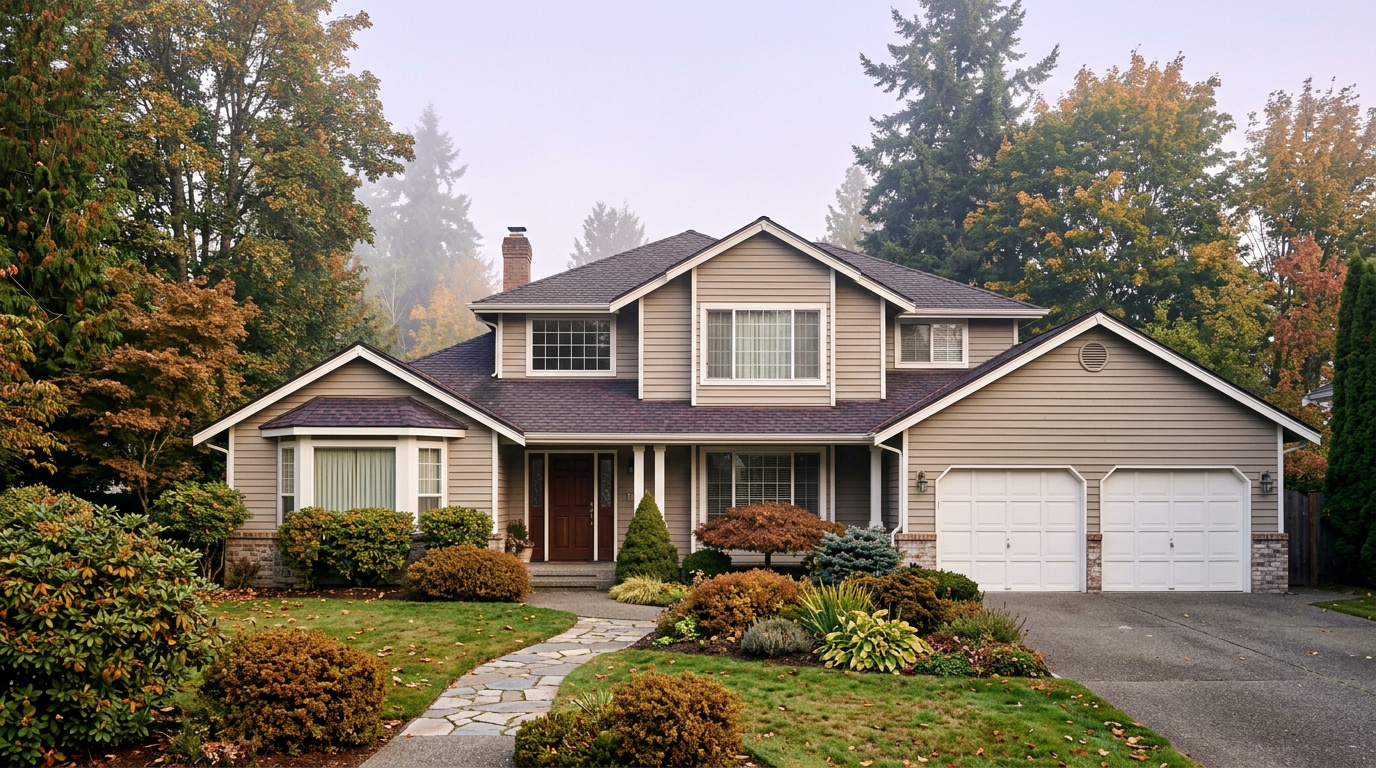

Buyer Resources July 22, 2026

Living in Cobble Creek, Auburn WA | 2026 Guide

Cobble Creek sits next to the Auburn Golf Course, tucked along the Green River on the north side of the city near the Lea Hill area. It is a Quiet Cul-de-Sac Community, one of the smaller and quieter pockets in Auburn, built mostly between 1990 and the early 2000s with custom, individually built homes rather than a single production builder’s floor plans. If you want a larger lot, an established tree canopy, and a golf course for a neighbor, this is one of the more distinctive corners of Auburn to consider in 2026.

What is it actually like to live in Cobble Creek in 2026?

A weekday morning in Cobble Creek moves at a slower pace than most of Auburn. The streets are curving and residential, lined with mature trees and the neighborhood’s distinctive old-style globe streetlights, a detail that sets it apart from Auburn’s newer subdivisions. Commuters head out toward Green River Road SE and connect to the wider road network from there, with King County Metro Route 181 running through the broader Lea Hill area toward Auburn Station and the Sounder line into Seattle and Tacoma.

Weekends here often center on the Auburn Golf Course next door, a full-service 18-hole public course with a clubhouse, pro shop, driving range, and an onsite restaurant. Residents who do not golf still benefit from having 150 acres of maintained green space and Green River frontage as a neighbor instead of another subdivision. The Green River itself runs along the edge of the neighborhood, and the broader Green River Trail system offers a car-free option for walking or biking further along the water.

Cobble Creek tends to draw buyers who want more land and a custom-built home over a production floor plan, along with the quiet that comes from a smaller street grid tucked against a golf course rather than a through-route. It is a different draw than the newer, larger-scale plateau developments elsewhere in Auburn.

Auburn Golf Course fairway along the Green River next to the Cobble Creek neighborhood in Auburn, Washington
The Auburn Golf Course and Green River sit right next to Cobble Creek, giving the neighborhood its defining green space.

Homes in Cobble Creek: What the Data Shows

Cobble Creek’s housing stock is almost entirely custom-built single-family homes, mostly two-story, constructed from 1990 through the early 2000s. Lots typically run 8,000 to 10,000 square feet, larger than the standard lot size in most of Auburn’s production-built subdivisions, and a handful of properties sit on considerably more acreage. Because these homes were built individually rather than from a single builder’s plan set, floor plans, finishes, and condition vary more than in a matched-plan subdivision. That means due diligence on any specific home matters more here than in a newer, uniform development.

A note on the neighborhood name: the Auburn city hub previously listed this area as “Cobble Creek / Verdana.” Cobble Creek is a verified, well-documented Auburn neighborhood along the Auburn Golf Course and Green River. “Verdana” does not appear as a verifiable, separately named subdivision in Auburn city records, real estate listing platforms, or local coverage as of this post’s research. This guide covers the verified Cobble Creek neighborhood and flags the hub card’s naming and location details for correction at the next hub touch.

Market data as of June 2026, from NWMLS-sourced monthly exports (Auburn citywide residential figures; Cobble Creek-specific data is not separately tracked by NWMLS, so figures reflect city-level data).

Market Pulse Cobble Creek (Auburn city-level) King County
Median Sales Price (June 2026) ~$650,000 ~$998,000
Median Days on Market (June 2026) ~8 days ~10 days
Active Listings Change (vs. Jan 2026) +135% +127%

Figures reflect Auburn citywide residential data from NWMLS InfoSparks, exported July 5, 2026. Cobble Creek does not have a separate MLS reporting area, so these numbers are city-level, not neighborhood-specific. Given the larger lots and custom construction here, homes in Cobble Creek typically price above Auburn’s citywide median.

Schools Serving Cobble Creek

Cobble Creek sits close enough to the Lea Hill area that its verified feeder pipeline runs through Hazelwood Elementary, Rainier Middle School, and Auburn Mountainview High School, all within about a mile of each other. This is a different pipeline than the Arthur Jacobsen Elementary and Cascade Middle School pairing the Auburn hub previously listed for this card. As always in Auburn School District, boundaries shift block by block, so verify your exact address before writing an offer.

Hazelwood Elementary carries a 6/10 GreatSchools rating and is known locally for strong special education support. Rainier Middle School, about a mile away, offers a Gifted & Talented program and two sports. Auburn Mountainview High School, the closer of Auburn’s comprehensive high schools to this part of the city, offers AP coursework, a Gifted & Talented program, and 21 sports for students moving through the full pipeline.

Given Cobble Creek’s location along Green River Road SE, driving or busing to all three schools is typical rather than walking, since the golf course and river frontage separate the neighborhood from the school sites by a short but non-walkable distance. Auburn School District runs bus routes covering this stretch of the city.

Getting to Work from Cobble Creek

Cobble Creek’s location along Green River Road SE puts most regional commutes on a short connector drive before reaching SR-167 or Auburn’s main arterials. King County Metro Route 181 runs through the broader Lea Hill and Green River College area toward Auburn Station, where the Sounder S Line offers a commuter rail alternative into Seattle and Tacoma without driving the whole way.

Destination Distance 2026 Drive Time (Peak AM) Transit Option
Downtown Seattle 32 miles 50 to 70 min Auburn Sounder Station (S Line)
Bellevue / Amazon 26 miles 45 to 60 min SR-167 to I-405
Microsoft (Redmond) 31 miles 50 to 65 min SR-167 to I-405 to SR-520
SeaTac Airport 16 miles 25 to 35 min SR-167 to I-5

Custom-built two-story home exterior on a large lot in Cobble Creek, Auburn, Washington
A custom-built two-story home representative of Cobble Creek’s late-1980s to early-2000s housing stock.

What I See as a Valuation Expert in Cobble Creek

When I assess homes here for institutional lenders, lot size and golf course proximity tend to drive more of the value than they do in a standard Auburn subdivision. Custom-built neighborhoods like this one carry more variation from house to house than a matched-plan development, so the specific home’s condition, layout quality, and updates matter more than the neighborhood average. A larger, well-maintained lot on a quiet interior street typically supports a stronger valuation than a similar-sized home on a smaller lot closer to Green River Road.

Because these homes were built individually rather than from a builder’s catalog, curb appeal and maintenance history vary more here than in newer Auburn developments. Homes with updated systems and clear pride-of-ownership maintenance typically draw stronger buyer interest than homes with deferred maintenance, even when the floor plan and lot are comparable.

Golf course adjacency and larger lot sizes typically command a premium in this kind of setting, though buyers should weigh that against Cobble Creek’s smaller size and the fact that resale comparables are limited given how few homes trade here in a given year.

Explore Cobble Creek Yourself

The best way to get a feel for Cobble Creek is to drive it yourself. Head to Green River Road SE near the Auburn Golf Course and take a few of the interior streets to see the mix of custom homes firsthand.

View Cobble Creek on Google Maps →

Is Cobble Creek a good place to live? Cobble Creek suits buyers who want a larger lot, a custom-built home, and a quieter setting next to a golf course and the Green River, rather than a newer, denser subdivision.

What are homes like in Cobble Creek? Most homes are custom-built, two-story single-family houses from 1990 through the early 2000s, typically on lots between 8,000 and 10,000 square feet, with some properties on larger acreage.

What schools serve Cobble Creek? Students typically attend Hazelwood Elementary, Rainier Middle School, and Auburn Mountainview High School, though exact boundaries vary by address within Auburn School District.

Is Cobble Creek the same as “Verdana”? The Auburn hub previously paired Cobble Creek with a “Verdana” community. Cobble Creek is a verified neighborhood along the Auburn Golf Course and Green River. “Verdana” could not be verified as a separately documented Auburn subdivision, so this guide covers Cobble Creek only.

How far is Cobble Creek from Seattle? Cobble Creek is about 32 miles south of downtown Seattle. The Auburn Sounder Station offers a commuter rail alternative to driving SR-167 or I-5 during peak hours.

Your guide to life outside Seattle.

Gregory Dorrell | Coldwell Banker Bain | WA License #111862
253-350-0045  ·
greg@livingoutsideseattle.com  ·
www.livingoutsideseattle.com
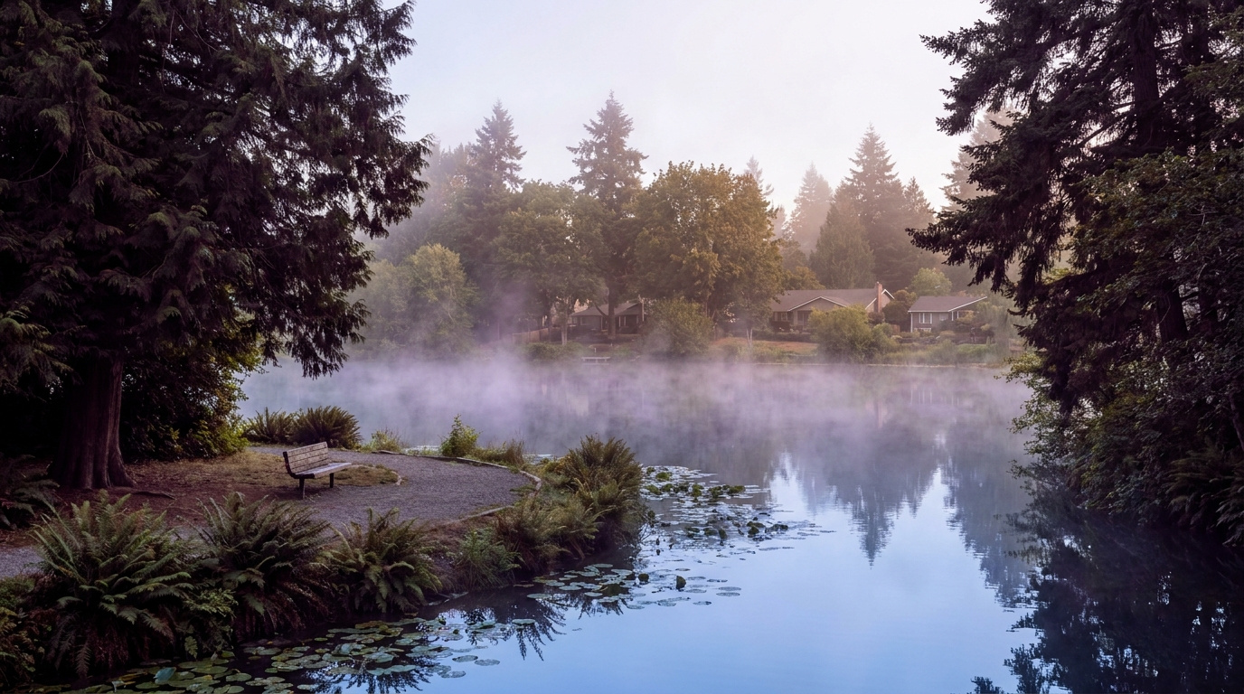

AuburnKing County Neighborhoods July 21, 2026

Living in Terrace View, Auburn WA | 2026 Guide

Terrace View sits in Auburn’s North Auburn corridor, the stretch of the city running between downtown and the Kent line along Auburn Way North. If you want the lowest price of entry into Auburn and don’t mind putting some sweat equity into an older home, this is one of the first places I point buyers. Most homes here went up in the 1960s through the 1980s, on lots that give you a real yard without a master-planned community price tag. This is a Family-First Established neighborhood, and in 2026, it’s still one of the more affordable ways into Auburn’s housing market.

What is it actually like to live in Terrace View in 2026?

A weekday morning here starts with Auburn Way North carrying commuters south toward downtown and the I-5/SR-167 interchange, and north toward Kent and the Green River valley job corridor. It’s a working commuter route lined with older homes set back on quiet side streets, so the traffic stays on the arterial and the neighborhood streets themselves stay calm. Kids walk or get bused to Ilalko Elementary depending on exactly where they land in the boundary.

Weekends lean toward yard work and neighborhood errands. Auburn Way North has the practical stuff residents actually use: Fred Meyer at 801 Auburn Way N covers groceries, pharmacy, and general shopping in one stop, and Game Farm Wilderness Park gives families a nearby green space along the White River for walking and picnicking. It’s not a destination neighborhood with boutique shops. It’s a place people live because the commute works and the price makes sense.

The people who land in Terrace View tend to be first-time buyers stretching for their first home, longtime Auburn residents who bought decades ago and never left, and investors picking up rental-grade properties to update. It’s a different crowd than Lea Hill or Lakeland Hills, where the housing stock is newer and the price point runs higher. Terrace View is Auburn’s value play, and it draws buyers who want more house and land for the money over polish.

Auburn Way North commercial corridor near Terrace View, North Auburn, Washington
The Auburn Way North corridor, home to the Fred Meyer that anchors daily errands for Terrace View residents.

Homes in Terrace View: What the Data Shows

Terrace View’s housing stock is almost entirely single-family, built mostly from the 1960s through the 1980s with a scattering of older homes mixed in. Sizes typically run 1,200 to 2,200 square feet on lots from 6,000 to 10,000 square feet, so you get more land here than in Auburn’s newer subdivisions. Ranch-style and split-level homes are common, along with a handful of two-story builds from the 1980s. This isn’t a neighborhood of matching floor plans from a single builder. It’s a mix that reflects decades of individual construction, which means condition and updates vary a lot from house to house.

Market data as of June 2026, from NWMLS-sourced monthly exports (Auburn citywide residential figures; Terrace View / North Auburn-specific data is not separately tracked by NWMLS, so figures reflect city-level data).

Market Pulse Terrace View (Auburn city-level) King County
Median Sales Price (June 2026) ~$650,000 ~$998,000
Median Days on Market (June 2026) ~8 days ~10 days
Active Listings Change (vs. Jan 2026) +135% +127%

Figures reflect Auburn citywide residential data from NWMLS InfoSparks, exported July 5, 2026. Terrace View and North Auburn do not have a separate MLS reporting area, so these numbers are city-level, not neighborhood-specific. Given the older housing stock here, homes in Terrace View tend to price toward the lower end of Auburn’s citywide range.

Schools Serving Terrace View

Terrace View kids typically attend Ilalko Elementary School, then move on to Mt. Baker Middle School, and finish at Auburn Senior High School. All three sit within a mile of each other in this part of Auburn, which keeps the school pipeline compact. As always in Auburn School District, boundaries shift block by block, so verify your exact address before writing an offer.

Ilalko Elementary carries a 6/10 GreatSchools rating and serves grades PK through 5. Mt. Baker Middle School is about three-quarters of a mile away and offers a Gifted & Talented program along with 14 sports. Auburn Senior High School, the district’s largest comprehensive high school, offers AP coursework and 19 sports for students who make it through the pipeline.

The walk from most Terrace View streets to Ilalko is manageable for elementary-age kids, and Auburn School District runs bus routes for the middle and high school legs given the distance involved. Families cross Auburn Way North on the way to school, so it’s worth understanding the crossing points near your specific address before you buy.

Getting to Work from Terrace View

Terrace View sits close to the SR-167 and I-5 interchange, so most regional commutes start with a short hop to one of those two freeways. For Seattle-bound commuters, the Auburn Sounder Station is the practical alternative to fighting I-5 traffic, with the S Line running north through Kent and Tukwila into downtown Seattle.

Destination Distance 2026 Drive Time (Peak AM) Transit Option
Downtown Seattle 30 miles 45 to 65 min Auburn Sounder Station (S Line)
Bellevue / Amazon 24 miles 40 to 55 min SR-167 to I-405
Microsoft (Redmond) 29 miles 45 to 60 min SR-167 to I-405 to SR-520
SeaTac Airport 14 miles 20 to 30 min SR-167 to I-5

Established single-family home exterior in Terrace View, North Auburn, Washington
A single-family home representative of Terrace View’s 1960s to 1980s housing stock.

What I See as a Valuation Expert in Terrace View

When I assess homes here for institutional lenders, the lot and the mechanical systems carry most of the value. Terrace View’s older housing stock means the homes that show best are the ones where the roof, furnace, water heater, and electrical panel have been updated in the last 10 to 15 years. A cosmetically dated kitchen matters far less to an appraiser than a 40-year-old furnace still limping along.

Curb appeal and basic maintenance move the needle more here than in newer subdivisions, simply because the baseline condition varies so much house to house. A well-kept 1970s rambler with fresh paint and a tidy yard reads as a completely different property than the same floor plan two doors down with peeling siding and an overgrown lawn, even though the bones are identical. Buyers who want the best long-term value tend to look past cosmetic issues and focus on structural and system condition instead.

Corner lots and larger parcels toward the back streets away from Auburn Way North traffic noise tend to move first and hold value better. Homes closest to the arterial itself typically sell at a modest discount compared to those on the quieter interior streets, even within the same few blocks.

Explore Terrace View Yourself

The best way to get a feel for Terrace View is to drive it yourself. Head up Auburn Way North from downtown Auburn and take a few of the side streets to see the mix of homes firsthand.

View Terrace View on Google Maps →

Is Terrace View a good place to live? Terrace View works well for buyers who want the lowest entry price in Auburn and don’t mind an older home that may need updates. It suits people who want a real yard and a straightforward commute over newer construction polish.

What are homes like in Terrace View? Most homes are single-family houses built from the 1960s through the 1980s, ranging from about 1,200 to 2,200 square feet on lots from 6,000 to 10,000 square feet. Styles include ranch, split-level, and some two-story builds.

What schools serve Terrace View? Students typically attend Ilalko Elementary, Mt. Baker Middle School, and Auburn Senior High School, though exact boundaries vary by address within Auburn School District.

How far is Terrace View from Seattle? Terrace View is about 30 miles south of downtown Seattle. The Auburn Sounder Station offers a commuter rail alternative to driving I-5 or SR-167 during peak hours.

Your guide to life outside Seattle.

Gregory Dorrell | Coldwell Banker Bain | WA License #111862
253-350-0045  ·
greg@livingoutsideseattle.com  ·
www.livingoutsideseattle.com
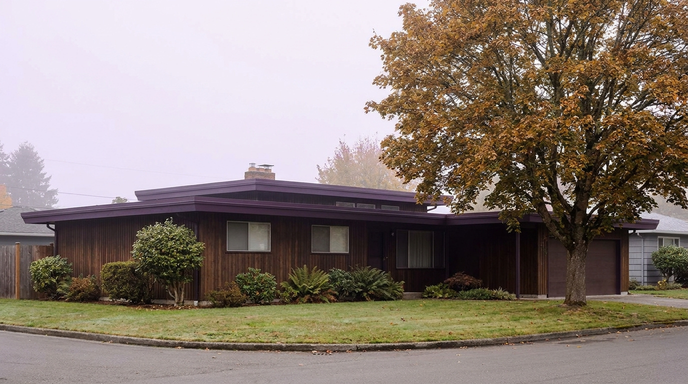

AuburnBuyer Resources July 20, 2026

Living in Auburn Valley, Auburn WA | 2026 Guide

If you want an older, established stretch of Auburn without the price tag of the newer master-planned communities, Auburn Valley is worth a look. Living in Auburn Valley means a straight shot down Auburn Way South, an 88-acre wilderness park a few minutes away, and some of the most consistently affordable single-family homes left in the city. This is a Family-First Established neighborhood, built out mostly from the 1960s through the 1990s along the valley floor south of downtown. In 2026, buyers who want a real yard and a shorter commute to the warehouse and logistics corridor keep landing here.

Three Local Anchors

The Safeway at 101 Auburn Way S covers full grocery runs for most Auburn Valley addresses without leaving the corridor. Game Farm Wilderness Park, an 88-acre park at 2401 Stuck River Drive with hiking trails, camping sites, and river access along the Stuck River, sits a short drive south. And King County Metro service along Auburn Way South, with a stop at Auburn Way S and M St SE, connects the neighborhood to Auburn Station and the Sounder S Line into Seattle and Tacoma.

What is it actually like to live in Auburn Valley in 2026?

On a Tuesday morning, Auburn Valley moves at the pace of a working-class valley town. Auburn Way South carries a steady mix of commuters, delivery trucks, and buses heading toward the warehouse and logistics employers that line the valley floor, while side streets off the main corridor stay quiet and residential. The homes here sit back from the arterial on straight, unassuming blocks, mostly ranch and split-level styles that have not changed much in decades.

Weekends bring a different rhythm. Families head to Game Farm Wilderness Park for the trails and river access, and the Auburn Farmers Market downtown draws a Saturday crowd from across the city, Auburn Valley included, from June through September. It is a practical, unpretentious kind of neighborhood life, closer to how Auburn felt a generation ago than the newer subdivisions on the city’s edges.

The people who choose Auburn Valley tend to prioritize space and price over polish. Compared to Lakeland Hills or The Bridges, homes here are older and lots are less uniform, but buyers get a bigger yard for the dollar and a shorter drive to the industrial and logistics jobs that anchor a large share of Auburn’s employment base. It draws long-time Auburn families, first-time buyers stretching for a detached home, and buyers who work the valley floor corridor themselves.

Wooded trail and river access at Game Farm Wilderness Park near the Auburn Valley neighborhood of Auburn, Washington
Game Farm Wilderness Park’s trails and Stuck River access sit a short drive from most Auburn Valley streets.

Homes in Auburn Valley: What the Data Shows

Most homes in Auburn Valley date from the 1960s through the 1990s, part of Auburn’s earlier wave of postwar and mid-century growth along the valley floor rather than a single planned build-out. Square footage typically runs 1,200 to 2,400 square feet, with single-story ranches and simple two-story homes making up most of the stock. Lots tend to run larger than the newer subdivisions, often a quarter acre or more in the pockets furthest from Auburn Way South, and detached single-family homes dominate. It is an older, unpolished corridor that has not seen much new construction in years, which is exactly why prices here stay lower than the rest of the city.

Market data as of June 2026, from NWMLS-sourced monthly exports (Auburn citywide residential figures; Auburn Valley-specific data is not separately tracked by NWMLS, so figures reflect city-level data).

Metric Auburn Valley (Auburn citywide) King County
Median Sales Price (June 2026) ~$650,000 ~$998,000
Median Days on Market (June 2026) ~8 days ~10 days
Active Listings Change (vs. Jan 2026) +135% +127%

Figures reflect Auburn citywide residential data from NWMLS InfoSparks, exported July 5, 2026. Auburn Valley does not have its own MLS reporting area, so these numbers are city-level, not neighborhood-specific. Homes in Auburn Valley tend to sit toward the lower to middle end of Auburn’s price range given the older housing stock, so buyers here often see figures below the citywide median.

Schools Serving Auburn Valley

Auburn Valley falls in the Auburn School District, and most addresses along this stretch of Auburn Way South feed a different pipeline than the neighborhoods further north and east. This corridor feeds a different pipeline than some general Auburn guides list for the east side of the city, so confirm your specific address before assuming which schools apply.

Most Auburn Valley students attend Chinook Elementary at 3502 Auburn Way S, which sits directly in the corridor. From there, the pipeline continues to Cascade Middle School at 1015 24th Street NE, an AVID National Demonstration School with a Gifted & Talented program, and finishes at Auburn Senior High School, which offers Advanced Placement coursework, 19 sports, and an 80 percent graduation rate.

Because Auburn Valley sits along a busy arterial corridor rather than inside a single platted subdivision, address-level boundary lines matter more here than in a master-planned community. Always verify your exact address with the district before writing an offer, especially near the edges of the corridor closer to downtown or the SR-18 interchange.

Verify the Schools Yourself

Chinook Elementary →
Cascade Middle School →
Auburn Senior High →

School ratings and assignments change. Always verify your specific address with the Auburn School District before writing an offer.

Getting to Work from Auburn Valley

Take Auburn Way South north to reach downtown Auburn and Auburn Station in a few minutes, or continue south to connect with SR-18 toward Covington and I-5 toward Tacoma. King County Metro service runs along the Auburn Way South corridor, connecting Auburn Valley to Auburn Station, where riders can catch the Sounder S Line into Seattle and Tacoma.

Destination Distance 2026 Drive Time (Peak AM) Transit Option
Downtown Seattle 31 miles 50 to 70 min King County Metro to Auburn Station, Sounder S Line
Bellevue / Amazon 27 miles 45 to 65 min SR-167 to I-405 north
Microsoft (Redmond) 31 miles 50 to 75 min SR-167 to I-405 to SR-520
SeaTac Airport 16 miles 25 to 35 min SR-167 north to Highway 518

Single-story ranch home with a large yard on a residential street in the Auburn Valley neighborhood of Auburn, Washington
A typical single-story ranch home in Auburn Valley, part of the neighborhood’s mid-century housing stock.

What I See as a Valuation Expert in Auburn Valley

When I price homes for institutional clients, lot size and system updates tend to drive value more than finish quality in Auburn Valley. Older mid-century homes vary widely in how well they have been maintained, so a roof replaced in the last decade, an updated electrical panel, or a newer water heater can separate two otherwise similar listings by tens of thousands of dollars.

Proximity to Auburn Way South itself is a real factor. Homes set back on quieter side streets away from the arterial typically command a premium over comparable homes fronting the corridor directly, where traffic noise and curb cuts matter to buyers.

Larger lots, especially those a quarter acre or more with room for parking multiple vehicles or a shop, tend to move first and draw the most competitive offers. Homes closer to Game Farm Wilderness Park also see stronger interest than similar homes further from any green space.

10-Year Lens

Auburn Valley’s older housing stock and lower price point give it a durable long-term case as one of the last true entry-level detached-home corridors in South King County, especially as newer construction elsewhere in Auburn continues to price higher. The honest counter-risk: homes here will need ongoing system updates as they age past 50 and 60 years old, and the corridor’s proximity to Auburn Way South’s truck and commuter traffic will always cap appreciation compared to quieter subdivisions further from the arterial. Continued inventory growth across King County in 2026 also means buyers have more leverage and more time to negotiate than in recent years.

Frequently Asked Questions

Q: Is Auburn Valley a good place to live?
A: Auburn Valley works well if you want an older, established home with a larger yard at a lower price than Auburn’s newer subdivisions, and you don’t mind living along a busy arterial corridor. It suits buyers who want more space for the dollar and a short drive to the valley floor’s logistics and warehouse employers.

Q: What are homes like in Auburn Valley?
A: Most homes date from the 1960s through the 1990s, running 1,200 to 2,400 square feet, mostly single-story ranch and simple two-story styles on lots that often run a quarter acre or more away from the main corridor.

Q: What schools serve Auburn Valley?
A: Most Auburn Valley addresses feed Chinook Elementary, Cascade Middle School, and Auburn Senior High School, all part of the Auburn School District. Always verify your specific address before writing an offer.

Q: How far is Auburn Valley from Seattle?
A: Auburn Valley sits about 31 miles from downtown Seattle, roughly 50 to 70 minutes by car during peak commute hours, or by King County Metro to Auburn Station and the Sounder S Line.

Explore Auburn Valley Yourself

View Auburn Valley on Google Maps →

Your guide to life outside Seattle.

Gregory Dorrell | Coldwell Banker Bain | WA License #111862
253-350-0045 · greg@livingoutsideseattle.com · www.livingoutsideseattle.com
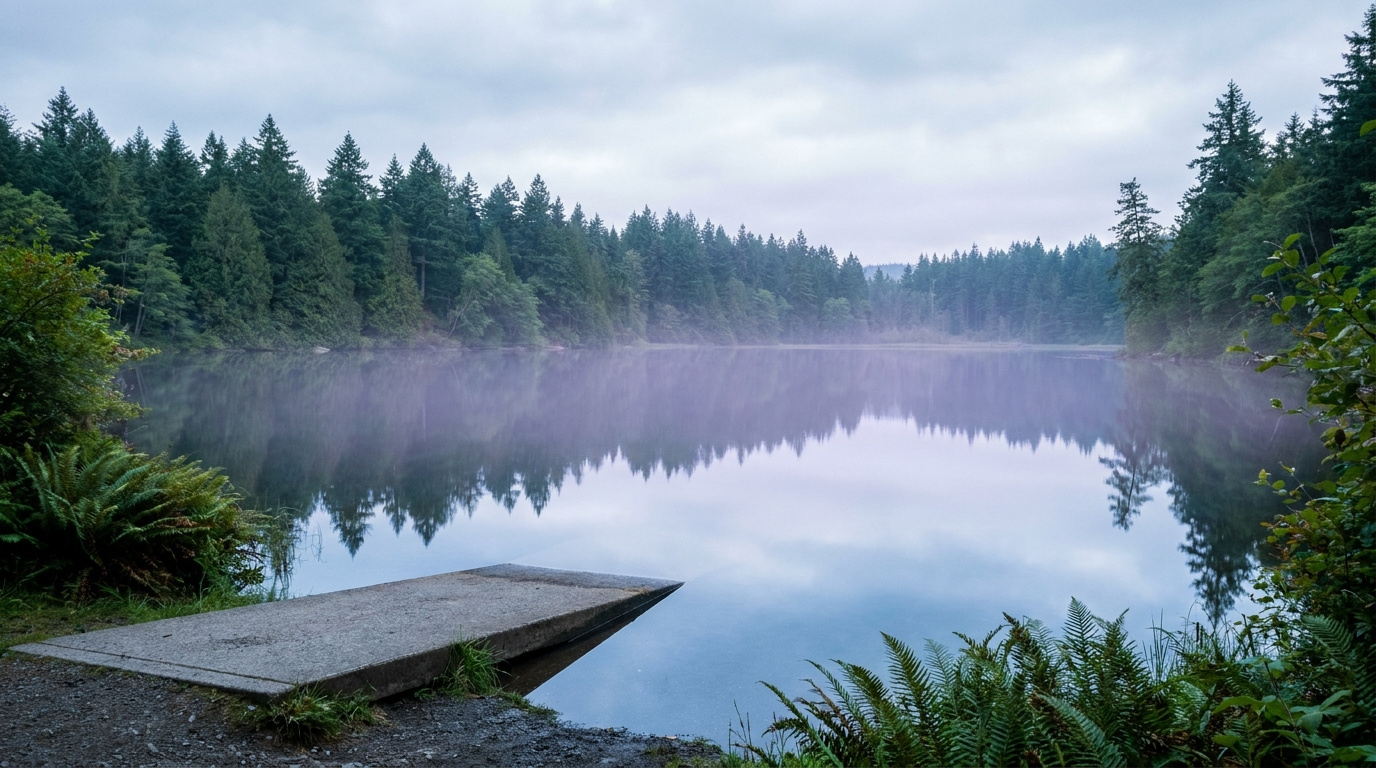

AuburnBuyer Resources July 19, 2026

Living in Lakeland Hills, Auburn | 2026 Guide

Living in Lakeland Hills, Auburn: What You Need to Know in 2026

If you want a planned community feel without leaving Auburn, Lakeland Hills is worth a look. Living in Lakeland Hills means wide, consistent streets, HOA-maintained landscaping, and a central neighborhood park that anchors the whole community. This is a Quiet Cul-de-Sac Community, built out mostly between 1995 and 2015, sitting on Auburn’s south end right where the city meets the King-Pierce County line. In 2026, buyers who want newer construction, a settled family feel, and a break from Auburn’s older core neighborhoods keep landing here.

Three Local Anchors

Haggen Food & Pharmacy at 1406 Lake Tapps Pkwy E covers full grocery runs a short drive from most Lakeland Hills streets. Lakeland Hills Park, a five-acre park built into a wooded hillside with a basketball court, a small climbing wall, a paved walking loop, and a playground, sits inside the community itself. And Pierce Transit’s Route 497 Lakeland Hills Express connects the neighborhood directly to Auburn Transit Center, where riders can pick up Sounder rail service into Seattle and Tacoma.

What is it actually like to live in Lakeland Hills in 2026?

On a Tuesday morning, Lakeland Hills moves at a suburban pace. Commuters back out of driveways along the neighborhood’s curving collector streets, most heading for SR-167 or Lake Tapps Parkway to start the drive north or east. School buses work their way through the cul-de-sacs a little later, and the consistent landscaping along the main entries gives the whole community a tidy, just-mowed look even before most residents are out the door.

Weekends slow down. Families walk to Lakeland Hills Park for the playground and the loop trail, kids shoot around on the basketball court, and Sunset Park nearby adds baseball and softball fields for weekend leagues. It is a family-forward rhythm, closer to a small planned suburb than to Auburn’s older Main Street blocks a few miles north.

The people who choose Lakeland Hills tend to want a newer home, a manicured street, and a sense that the neighborhood was designed rather than grown block by block. Compared to Lea Hill or West Auburn, homes here sit on a more uniform grid with HOA-backed consistency, and buyers often cross-shop Lakeland Hills against nearby Bonney Lake and Sumner rather than against downtown Auburn.

Lakeland Hills Park walking loop, basketball court, and playground shaded by evergreen trees in Auburn, Washington
Lakeland Hills Park’s wooded walking loop and playground sit at the heart of the neighborhood.

Homes in Lakeland Hills: What the Data Shows

Most homes in Lakeland Hills date from the mid-1990s through 2015, part of a master-planned build-out rather than scattered infill. Square footage typically runs 1,600 to 3,500 square feet, with two-story traditional and Northwest contemporary styles dominating the community. Lots tend to be modest but consistent, usually 5,000 to 8,000 square feet, and detached single-family homes make up nearly all of the housing stock. HOA-maintained entries and common areas give the community a uniform look that stands apart from Auburn’s older, more mixed neighborhoods.

Market data as of June 2026, from NWMLS-sourced monthly exports (Auburn citywide residential figures; Lakeland Hills-specific data is not separately tracked by NWMLS, so figures reflect city-level data).

Metric Lakeland Hills (Auburn citywide) King County
Median Sales Price (June 2026) ~$650,000 ~$998,000
Median Days on Market (June 2026) ~8 days ~10 days
Active Listings Change (vs. Jan 2026) +135% +127%

Figures reflect Auburn citywide residential data from NWMLS InfoSparks, exported July 5, 2026. Lakeland Hills does not have its own MLS reporting area, so these numbers are city-level, not neighborhood-specific. Homes here tend to sit toward the upper end of Auburn’s price range given the newer construction and master-planned setting.

Schools Serving Lakeland Hills

Lakeland Hills is one of the few Auburn neighborhoods split across two school districts. Most of the community falls in the Auburn School District, but the neighborhood sits right on the King-Pierce County line, and pockets on the south and east sides fall in the Dieringer School District instead. Address matters more here than almost anywhere else in Auburn, so confirm your specific street with the district before you get attached to a listing.

On the Auburn School District side, most students attend Lakeland Hills Elementary at 1020 Evergreen Way SE, and the neighborhood’s geography points to Mt. Baker Middle School as the likely next stop, though families should confirm this directly with the district since Auburn School District maintains seven middle schools and boundary lines shift. From there, students finish at Auburn Mountainview High School, which opened in 2005, offers Advanced Placement coursework, 21 sports, and a Gifted & Talented program, and posts a 90 percent graduation rate.

On the Dieringer School District side, students attend Dieringer Heights Elementary, then North Tapps Middle School for grades six through eight. Dieringer is a non-high-school district, which means families choose where their student attends high school rather than being assigned one automatically. Most Dieringer-zone families in this area send their kids to Auburn Riverside High School or Sumner High School. Always verify your exact address and your high school options with the district before writing an offer.

Verify the Schools Yourself

Lakeland Hills Elementary →
Mt. Baker Middle School →
Auburn Mountainview High →
Dieringer Heights Elementary →
North Tapps Middle School →

School ratings and assignments change, and Lakeland Hills sits across two districts. Always verify your specific address with the Auburn School District or the Dieringer School District before writing an offer.

Getting to Work from Lakeland Hills

Take Lake Tapps Parkway or Lakeland Hills Way to SR-164 or SR-167, then connect north toward I-405 or south toward I-5, depending on your destination. Pierce Transit Route 497 runs from the neighborhood to Auburn Transit Center, where riders can catch the Sounder S Line into Seattle and Tacoma without driving the freeway themselves.

Destination Distance 2026 Drive Time (Peak AM) Transit Option
Downtown Seattle 31 miles 55 to 75 min Pierce Transit 497 to Auburn Station, Sounder S Line
Bellevue / Amazon 30 miles 50 to 70 min SR-167 to I-405 north
Microsoft (Redmond) 34 miles 55 to 80 min SR-167 to I-405 to SR-520
SeaTac Airport 17 miles 28 to 40 min SR-167 north to Highway 518
Two-story home with manicured landscaping on a cul-de-sac street in the Lakeland Hills neighborhood of Auburn, Washington
A typical two-story home in Lakeland Hills, built during the community’s main development period between 1995 and 2015.

What I See as a Valuation Expert in Lakeland Hills

When I assess homes here for institutional clients, lot usability and how well a house has kept pace with its systems tend to drive value more than raw square footage in Lakeland Hills. The community’s consistent HOA-maintained frontage means curb appeal rarely separates one listing from the next. What separates them instead is what is behind the walls: roof age, water heater age, and whether a kitchen or bath has been touched since the original build, especially on the earliest phase of homes from the mid-1990s.

HOA dues and coverage vary by section of the community, so confirm what a specific listing’s dues actually cover before you get too far into the process. Some sections include front-yard landscaping maintenance in the dues, which changes the real monthly cost of ownership compared to a similar home without that coverage.

Homes closer to Lakeland Hills Park, on the larger cul-de-sac lots, or with a partial view toward the valley typically command a premium and tend to move first when they come to market. Newer-phase homes built after 2005 with updated systems also draw stronger interest than the earliest phase of the community.

10-Year Lens

Lakeland Hills’ master-planned consistency, newer housing stock, and position near both Auburn and the growing Bonney Lake and Sumner areas give it a durable long-term case as a family-oriented entry point into South King and North Pierce County ownership. The honest counter-risk: the school district split adds real complexity for resale, since buyers have to verify which district and which high school options apply to a specific address, and the neighborhood remains fully car-dependent with no direct Sounder access from inside the community. Continued inventory growth across King County in 2026 also means less urgency and more negotiating room for buyers than in recent years.

Frequently Asked Questions

Q: Is Lakeland Hills a good place to live?
A: Lakeland Hills works well if you want a newer, master-planned community with consistent landscaping and a central neighborhood park, and you don’t mind a car-dependent setting without direct Sounder access. It suits families who want a settled, tidy street over Auburn’s older, more mixed neighborhoods.

Q: What are homes like in Lakeland Hills?
A: Most homes date from 1995 to 2015, running 1,600 to 3,500 square feet on 5,000 to 8,000 square foot lots, mostly two-story traditional and Northwest contemporary styles with HOA-maintained common areas.

Q: What schools serve Lakeland Hills?
A: Lakeland Hills splits across the Auburn School District (Lakeland Hills Elementary and Auburn Mountainview High School) and the Dieringer School District (Dieringer Heights Elementary and North Tapps Middle School, with a family choice of high school). Always verify your specific address before writing an offer.

Q: How far is Lakeland Hills from Seattle?
A: Lakeland Hills sits about 31 miles from downtown Seattle, roughly 55 to 75 minutes by car during peak commute hours, or by Pierce Transit Route 497 to Auburn Station and the Sounder S Line.

Explore Lakeland Hills Yourself

View Lakeland Hills on Google Maps →

Your guide to life outside Seattle.

Gregory Dorrell | Coldwell Banker Bain | WA License #111862
253-350-0045 · greg@livingoutsideseattle.com · www.livingoutsideseattle.com
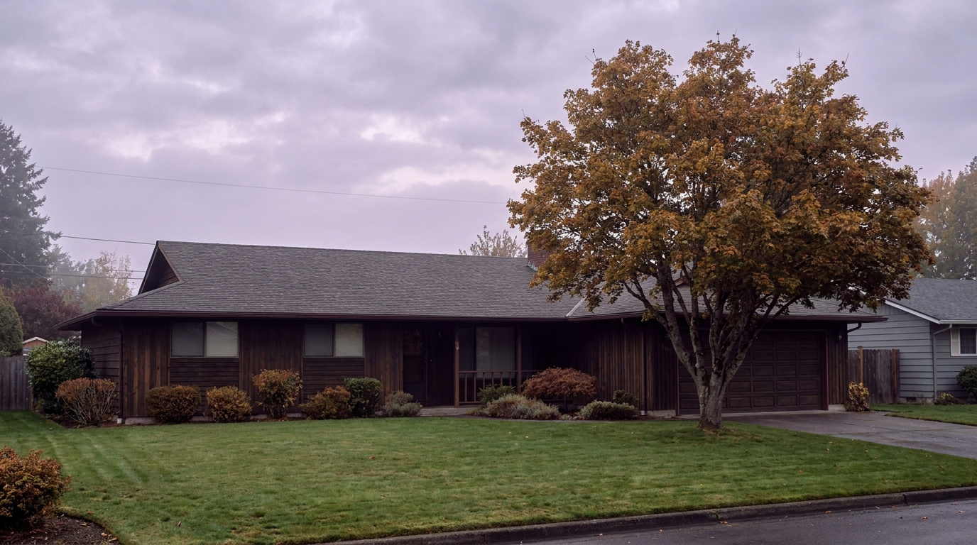
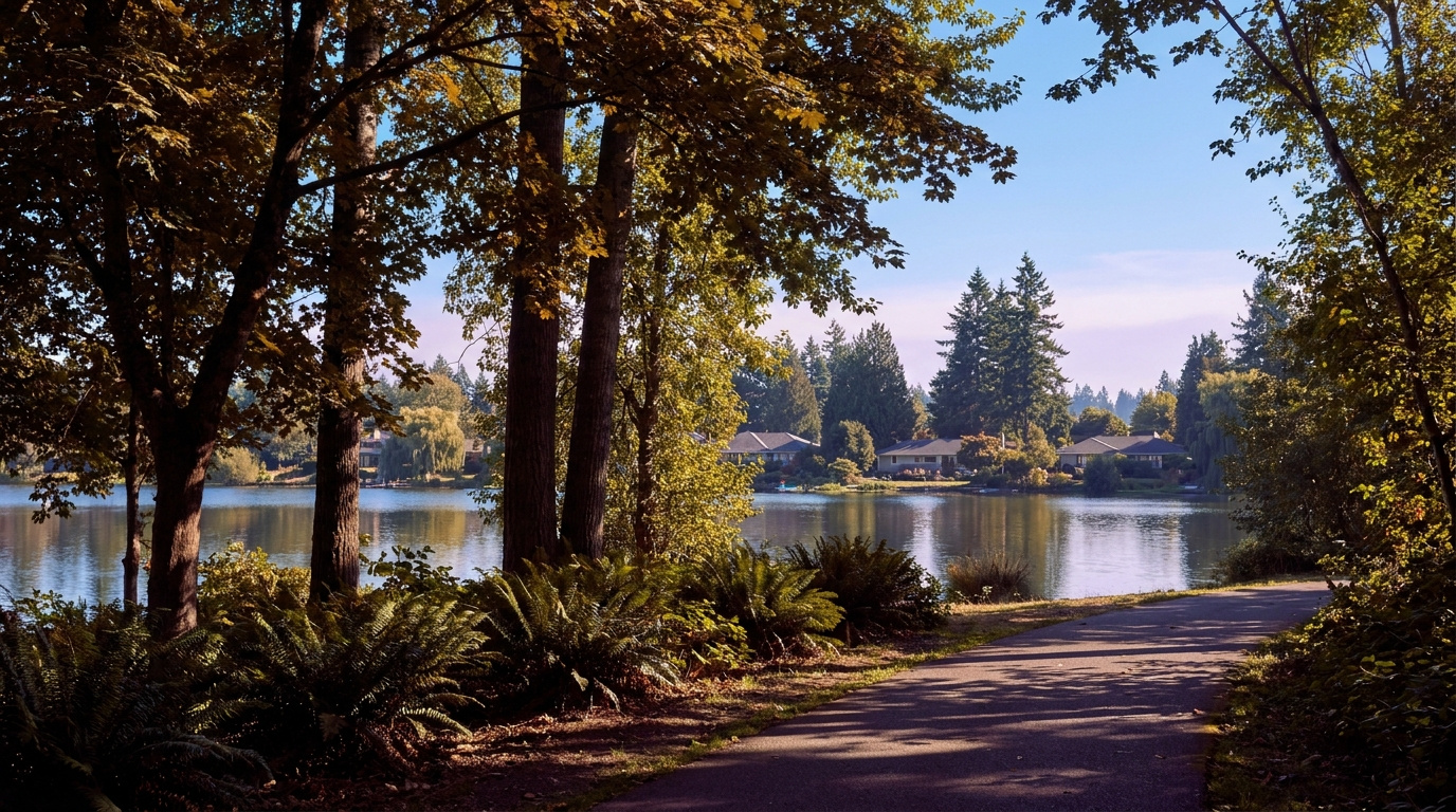
AuburnKing County Neighborhoods July 19, 2026

Living in West Auburn, Auburn WA | 2026 Guide

If you want to live in Auburn without a long drive to get anywhere, West Auburn and the Downtown Corridor are worth a look. Living in West Auburn means older streets built on a walkable grid, a Sounder train station a few blocks from your front door, and some of the most affordable home prices in the entire city. This is a Walkable Urban Edge neighborhood, built out mostly in the early to mid 1900s with a wave of infill since. In 2026, buyers priced out of the Eastside are discovering that downtown Auburn gives them a real Main Street, a commute option that skips I-5 traffic, and a price tag that still works.

Three Local Anchors

The Safeway at 101 Auburn Way S covers weekly groceries without a car trip out of the neighborhood. Game Farm Park, an 88-acre community park with a one-mile paved loop trail along the Stuck River, sits a short drive or bike ride to the east. And Auburn Station, the Sounder S Line stop with direct rail service to Seattle, anchors the whole corridor a few blocks from Main Street.

What is it actually like to live in West Auburn in 2026?

On a Tuesday morning, Main Street wakes up slower than the freeway corridors further south. Commuters heading for the train walk past the older brick storefronts near E Main Street, coffee in hand, timing their walk to the platform instead of a parking garage. The blocks around Auburn Way and Main are a mix of small offices, a few longtime local businesses, and homes that sit close enough to downtown that you can hear the trains before you see them.

Weekends look different. Saturdays bring people out to Game Farm Park for softball games and the walking loop, and from June through September, the Auburn Farmers Market takes over Les Gove Park with more than 40 vendors selling produce and local goods. It is a smaller-town rhythm than you would expect this close to a rail line into Seattle.

The people who choose West Auburn tend to want less house and more location. Compared to Lea Hill or Lakeland Hills, homes here are smaller and older, but you are trading square footage for a walk to the train, a walk to City Hall, and some of the lowest entry prices in Auburn. It draws first-time buyers, downsizers, and commuters who have decided that transit access is worth more than a three-car garage.

Auburn Station Sounder rail platform and pedestrian bridge in downtown West Auburn, Washington
Auburn Station connects the Downtown Corridor to Seattle by Sounder rail in about 35 minutes.

Homes in West Auburn: What the Data Shows

The housing stock in West Auburn skews older than most of the city, with a lot of homes built between 1920 and 1960 on the original townsite grid, plus pockets of newer infill and small multi-family buildings closer to the station. Most single-family homes here run 1,000 to 1,800 square feet on compact lots, often a quarter acre or smaller. You will see bungalows, Craftsman-influenced cottages, and simple postwar ranches more than the large subdivisions found in East Auburn. Detached homes dominate, though the blocks nearest downtown include some duplexes and small apartment buildings. It is not a builder-community look. It is an older Main Street town that has been slowly filling back in.

Market data as of June 2026, from NWMLS-sourced monthly exports (Auburn citywide residential figures; West Auburn/Downtown-specific data is not separately tracked by NWMLS, so figures reflect city-level data).

Metric Auburn (Citywide) King County
Median Sales Price (June 2026) ~$650,000 ~$998,000
Median Days on Market (June 2026) ~8 days ~10 days
Active Listings Change (vs. Jan 2026) +135% +127%

These figures reflect Auburn citywide residential data from NWMLS, not West Auburn-specific numbers, since the neighborhood is too small for its own MLS reporting segment. Within Auburn, West Auburn and Downtown (zip 98002) run toward the lower end of the citywide price range, often $460,000 to $530,000 for move-in-ready homes.

Schools Serving West Auburn

West Auburn falls inside Auburn School District, and the elementary feeder for most of the downtown grid is Dick Scobee Elementary. Address boundaries shift block by block this close to downtown, so always verify your specific address with the district before you write an offer. From Dick Scobee, students typically move on to Cascade Middle School, about half a mile away, then to Auburn Senior High School.

Cascade Middle School was recognized as an AVID National Demonstration School, a distinction tied to its work preparing students for college readiness. Auburn Senior High School runs a full slate of Advanced Placement courses along with a Gifted and Talented program and 19 sports programs, giving families a wide range of activities to choose from.

The day-to-day pipeline here is short by suburban standards. Most elementary kids in the downtown grid walk or get bused a few blocks to Dick Scobee. Middle schoolers head north to Cascade, still inside easy busing range. High schoolers travel slightly further to Auburn Senior High, off E Main Street, which is walkable from some of the closer-in downtown blocks and a short bus ride from the rest.

Verify the Schools Yourself

Dick Scobee Elementary →
Cascade Middle School →
Auburn Senior High School →

School ratings and assignments change. Always verify your specific address with the Auburn School District before writing an offer.

Getting to Work from West Auburn

The single biggest draw for West Auburn is Auburn Station. Take the Sounder S Line north and you are in downtown Seattle in about 35 minutes, no I-5 traffic involved. If you are driving, Auburn Way and SR-18 connect you to I-5 and Highway 167 within a few minutes, though peak-hour traffic on those corridors adds real time.

Destination Distance 2026 Drive Time (Peak AM) Transit Option
Downtown Seattle 27 miles 50 to 70 min Sounder S Line, ~35 min
Bellevue / Amazon 21 miles 40 to 55 min I-167 to I-405
Microsoft (Redmond) 28 miles 45 to 65 min I-167 to I-405 to SR-520
SeaTac Airport 13 miles 25 to 35 min SR-18 to I-5
Early 1900s bungalow-style home exterior in the West Auburn Downtown Corridor, Auburn, Washington
A classic bungalow-style home on the older grid streets near downtown Auburn.

What I See as a Valuation Expert in West Auburn

When I price homes for institutional clients and clients, the age of the systems drives a lot of the value swing. A 1920s bungalow with an updated electrical panel, newer roof, and modern plumbing appraises very differently than the same house with original knob-and-tube wiring still in the walls. Buyers in this price range are often working with tighter budgets, so a home that needs $40,000 in deferred maintenance can sit longer than one that is already move-in ready, even at a similar list price.

Curb appeal matters more here than in newer subdivisions, simply because the housing stock varies so much block to block. A well-maintained yard and fresh paint on an older home signal to buyers that the inside has probably been cared for too. There is no HOA governing most of West Auburn, so that consistency comes down to individual owners rather than a covenant, and it shows in how differently two adjacent blocks can present.

Proximity to the Sounder station tends to carry a real premium here, and walkability to Main Street is the other factor that moves fastest. Homes within a few blocks of the station or the downtown core generally draw more interest than similar homes a mile out, simply because the commute math changes so much.

Valuation Insight

Walking distance to Auburn Station typically commands a premium over otherwise comparable homes further from downtown, since it directly changes the buyer’s commute options.

The 10-Year Lens: As Sound Transit continues to invest in the Auburn Station area, including a planned second parking garage by 2027, West Auburn’s transit-oriented position should keep drawing buyers who want rail access without Eastside prices. The honest counter-risk is the age of the housing stock. Older homes in this price range need ongoing capital investment, and a buyer who skips inspections to compete on price can inherit expensive surprises.

Frequently Asked Questions

Q: Is West Auburn a good place to live?
A: It works well if you want a walkable downtown, rail access to Seattle, and some of the most affordable home prices in the city. It is a better fit for buyers who value location over square footage.

Q: What are homes like in West Auburn?
A: Mostly older, smaller homes from the early to mid 1900s on compact lots, ranging roughly 1,000 to 1,800 square feet, with prices often starting in the $460,000 to $530,000 range.

Q: What schools serve West Auburn?
A: Most of the downtown grid feeds into Dick Scobee Elementary, then Cascade Middle School, then Auburn Senior High School, all part of Auburn School District. Always verify your specific address, since boundaries shift block by block this close to downtown.

Q: How far is West Auburn from Seattle?
A: About 27 miles by road, but the Sounder S Line covers it in roughly 35 minutes directly from Auburn Station, which is the main reason many buyers choose this neighborhood.

Explore West Auburn Yourself

View West Auburn on Google Maps →

Your guide to life outside Seattle.

Gregory Dorrell | Coldwell Banker Bain | WA License #111862
253-350-0045 · greg@livingoutsideseattle.com · www.livingoutsideseattle.com
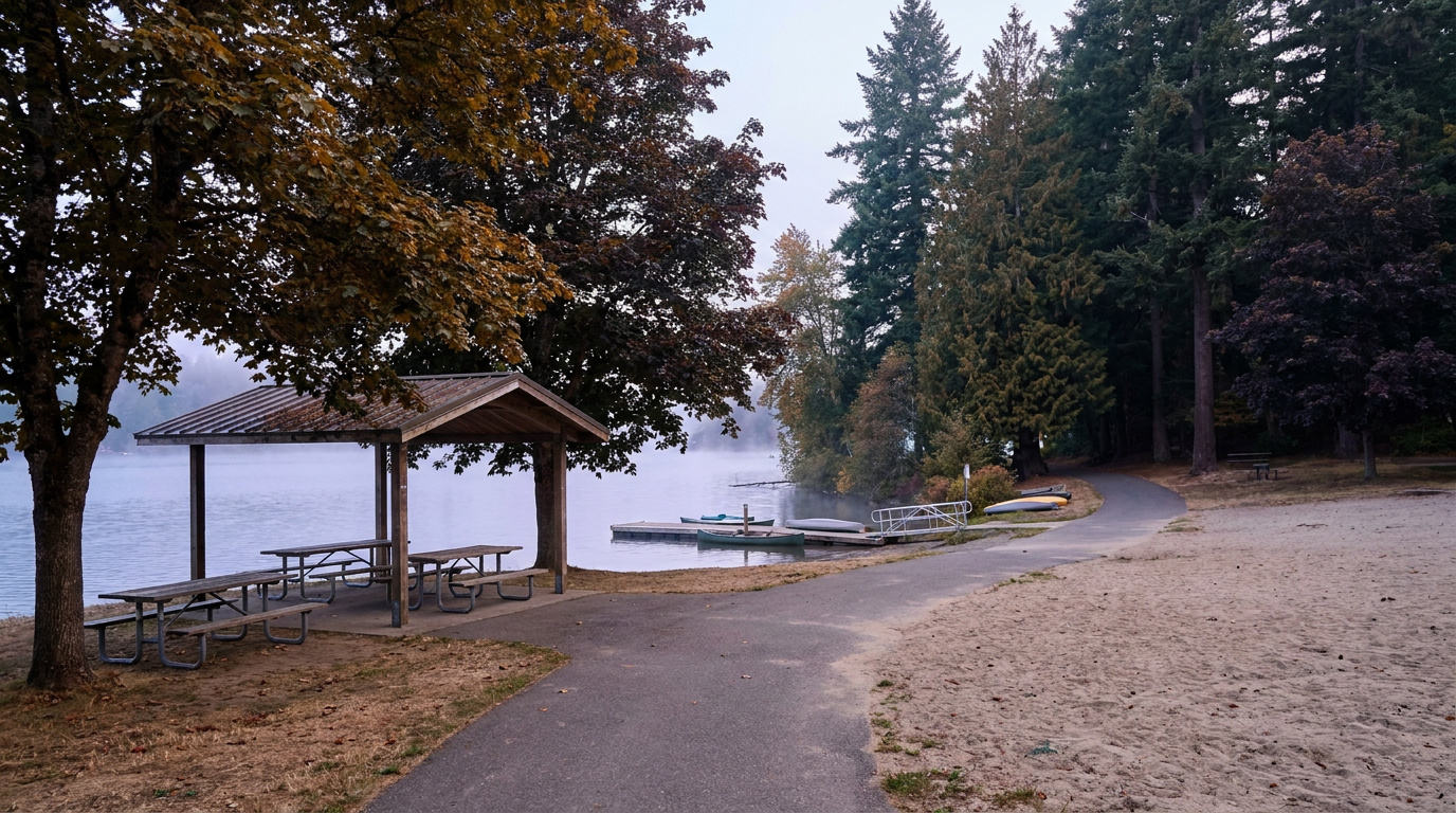
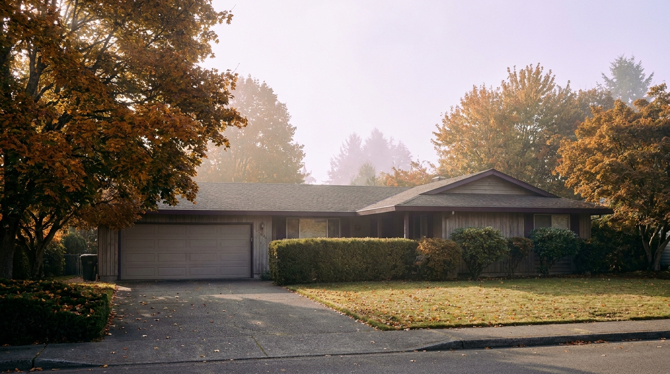
Buyer Resources July 18, 2026

Living in Lea Hill, Auburn | 2026 Neighborhood Guide

If you are shopping for a home in Auburn and want more elbow room without leaving the city, Lea Hill is worth a hard look. Living in Lea Hill Auburn means a quiet plateau setting east of the Green River valley, newer construction than most of the city, and a view line toward the mountains on a clear day. It is a Family-First Established neighborhood, built out mostly from the 1990s through the 2010s, with the kind of wide streets and settled landscaping that comes with 20 to 30 years of growth. In 2026, buyers are drawn here for the combination of space, relative affordability compared to the Eastside, and a genuine sense of neighborhood.

Three Local Anchors

The closest full grocery options sit down the hill in Auburn’s core, with Fred Meyer and Safeway both a short drive away. Lea Hill Park, a 7-acre neighborhood park with an amphitheater lawn, sport court, and play area, sits right on the plateau at 124th Ave SE and 316th St SE. Green River College, Auburn’s community college campus, anchors the west edge of the neighborhood and doubles as a public gathering point with trails and open green space.

What is it actually like to live in Lea Hill in 2026?

On a typical weekday morning, Lea Hill runs on a predictable rhythm. Commuters head down the hill toward Auburn Way or over to the Green River College area, where King County Metro Route 181 connects the neighborhood to Auburn Station and the Sounder line into Seattle and Tacoma. School traffic follows soon after, with buses and parent drop-off lines forming around the elementary school. The plateau setting means quieter streets than the valley floor below, and the elevation gives some homes a genuine view of the surrounding hills and, on a clear day, distant peaks.

Weekends lean toward yard work, youth sports at Lea Hill Park, and errands down the hill for groceries and bigger shopping trips. Green River College hosts community events and continuing education classes that pull in residents beyond the traditional student population. The pace is unhurried. This is not a walkable urban neighborhood, and residents generally accept that a car is part of daily life here.

Lea Hill tends to attract households who want more square footage and a bigger lot than they would get in Kent or Renton for a similar price, plus buyers connected to Green River College as staff, faculty, or continuing students. Compared to Auburn’s older west-side neighborhoods, Lea Hill’s housing stock is newer and its streets are wider and more suburban in layout.

Lea Hill Park amphitheater, sport court, and play area shaded by evergreen trees in the Lea Hill neighborhood of Auburn, Washington
Lea Hill Park’s amphitheater lawn and sport court sit at the center of the neighborhood.

Homes in Lea Hill: What the Data Shows

Most homes on Lea Hill date from the 1990s through the mid-2010s, a mix of two-story traditional and Northwest contemporary styles. Square footage typically runs 1,800 to 3,200 square feet, with lots between 5,000 and 10,000 square feet, larger than what you will find in Auburn’s older core neighborhoods. Detached single-family homes dominate the plateau, with a handful of newer townhome pockets closer to 124th Ave SE. Buyers looking for move-in-ready homes with attached two-car garages and updated systems will find plenty of inventory in this era of construction.

Market data as of July 2026, most recent closed month June 2026.

Metric Lea Hill (Auburn citywide) King County
Median Sales Price (June 2026) ~$650,000 ~$998,000
Median Days on Market (May 2026) ~11 days ~7 days
Homes for Sale (June 2026, vs. Jan 2026) 240 (vs. 102 January 2026, +135.3%) Countywide inventory has also risen sharply through 2026

Figures reflect Auburn citywide residential data from NWMLS InfoSparks, exported July 5, 2026 (median sales price and homes for sale) and June 25, 2026 (days on market). Lea Hill does not have its own MLS reporting area, so these numbers are city-level, not neighborhood-specific. Days on market trails the other two metrics by one data cycle because that export had not yet refreshed for June at the time of this post.

Schools Serving Lea Hill

Most Lea Hill addresses fall in the Auburn School District, and the neighborhood elementary is Lea Hill Elementary School, located right on 124th Ave SE. From there, students move on to Cascade Middle School, an AVID National Demonstration School with a Gifted & Talented program, before finishing at Auburn Mountainview High School. Always verify your exact address with the district before writing an offer. School assignment boundaries shift, and a home two streets over can fall in a different attendance zone.

Auburn Mountainview offers Advanced Placement coursework, 21 sports, and a Gifted & Talented program, with a 90 percent graduation rate. Cascade Middle School’s AVID recognition reflects a specific focus on college and career readiness for students who might not otherwise have that support built into their schedule. Lea Hill Elementary serves grades pre-K through 5 with a roughly 12-to-1 student-teacher ratio.

The path from Lea Hill Elementary through Cascade Middle School to Auburn Mountainview High School means most families on the plateau stay within a consistent, walkable-to-drivable pipeline for all thirteen years, without the bus rides across town that some Auburn neighborhoods require.

Verify the Schools Yourself

Lea Hill Elementary →
Cascade Middle School →
Auburn Mountainview High →

School ratings and assignments change. Always verify your specific address with the Auburn School District before writing an offer.

Getting to Work from Lea Hill

Take Lea Hill Road down to Auburn Way North, then connect to SR-18 or Highway 167 depending on your destination. King County Metro Route 181 runs along Lea Hill Road with stops near Green River College, connecting to Auburn Station for Sounder service into Seattle and Tacoma.

Destination Distance 2026 Drive Time (Peak AM) Transit Option
Downtown Seattle 28 miles 50 to 70 min Metro 181 to Auburn Station, Sounder S Line
Bellevue / Amazon 27 miles 45 to 65 min SR-18 to I-405 north
Microsoft (Redmond) 32 miles 50 to 75 min SR-18 to I-405 to SR-520
SeaTac Airport 14 miles 25 to 35 min SR-18 to Highway 167 north
Two-story home with mature landscaping on an established street in the Lea Hill neighborhood of Auburn, Washington
A typical two-story home on Lea Hill, built during the neighborhood’s main growth period in the 1990s and 2000s.

What I See as a Valuation Expert in Lea Hill

When I price homes for institutional clients, lot size and usable yard space tend to drive value more than square footage alone on Lea Hill. Two homes with the same floor plan can appraise differently if one sits on a flat, fully usable 8,000 square foot lot and the other backs up to a slope or drainage easement that eats into the buildable and livable space.

Curb appeal and maintenance history matter more here than in newer subdivisions, simply because the housing stock is old enough now that deferred maintenance starts to show. A roof at 20-plus years, original windows, or an aging furnace will show up in a comparative analysis even if the home looks fine from the street. HOA presence varies by pocket of the neighborhood, so confirm whether a specific listing carries HOA dues and what they cover before you get too far into the process.

Streets with view potential toward the mountains, and homes closer to Lea Hill Park and Green River College, typically command a premium and tend to move first when they come to market. Larger, flatter lots with room for a shop or RV parking also draw strong interest in this part of Auburn.

10-Year Lens

Lea Hill’s combination of newer housing stock, a stable school pipeline, and proximity to Green River College gives it a solid long-term case as an entry point into King County ownership at a lower price than the Eastside. The honest counter-risk: this is still a car-dependent neighborhood with no light rail access on the horizon, and continued inventory growth across King County in 2026 means buyers have more leverage and less urgency than they did a few years ago. Appreciation here will likely track the broader South King County market rather than outpace it.

Frequently Asked Questions

Q: Is Lea Hill a good place to live?
A: Lea Hill works well if you want more space and newer construction than Auburn’s older neighborhoods, and you don’t mind a car-dependent, plateau setting. It suits buyers who want a quieter, more suburban feel within city limits.

Q: What are homes like in Lea Hill?
A: Most homes date from the 1990s through the mid-2010s, running 1,800 to 3,200 square feet on lots between 5,000 and 10,000 square feet, mostly two-story traditional and Northwest contemporary styles.

Q: What schools serve Lea Hill?
A: Most Lea Hill addresses attend Lea Hill Elementary, Cascade Middle School, and Auburn Mountainview High School, all part of the Auburn School District. Always verify your specific address before writing an offer.

Q: How far is Lea Hill from Seattle?
A: Lea Hill sits about 28 miles from downtown Seattle, roughly 50 to 70 minutes by car or transit during peak commute hours, using Metro Route 181 to Auburn Station and the Sounder S Line.

Explore Lea Hill Yourself

View Lea Hill on Google Maps →

Your guide to life outside Seattle.

Gregory Dorrell | Coldwell Banker Bain | WA License #111862
253-350-0045 · greg@livingoutsideseattle.com · www.livingoutsideseattle.com
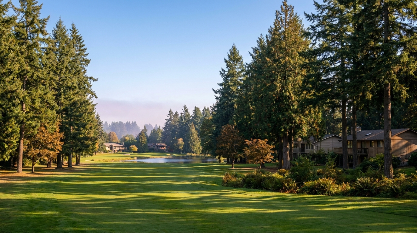
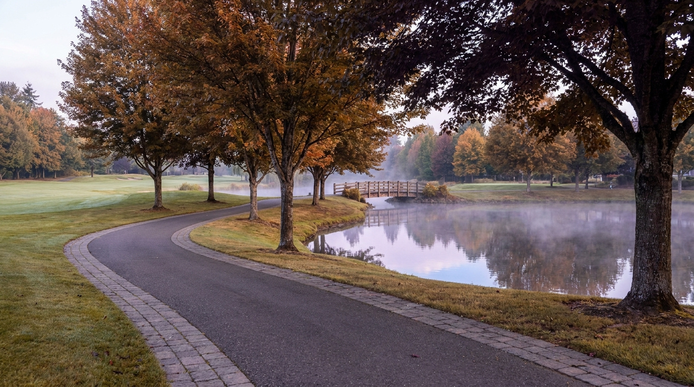
Buyer Resources July 16, 2026

Living in Scenic Hill, Kent | 2026 Neighborhood Guide

Scenic Hill sits just east of downtown Kent, close enough to walk to the Sounder station on a good day but quiet enough that most streets never see through traffic. This is a Family-First Established neighborhood, built out over several decades with a mix of ramblers, split-levels, and newer infill on the streets closest to the park. Buyers who want downtown Kent’s walkability without paying downtown prices keep landing here in 2026. It is one of the few pockets in the city where you can walk to a train platform and still park in your own driveway.

What is it actually like to live in Scenic Hill in 2026?

On a typical weekday morning, Scenic Hill runs quiet. Most of the neighborhood’s traffic drains downhill toward Central Avenue and the Sounder platform, so by the time the commute really builds on SR-167, the streets up here have already emptied out. Kids gather at bus stops along the flatter blocks near Woodland Way, and dog walkers use the neighborhood’s rolling sidewalks before the day gets going. It is not a neighborhood with a lot of drive-through traffic. Most of what happens here is local.

Weekends center on Scenic Hill Park. The tennis and pickleball courts fill up by mid-morning, and the picnic shelters get reserved early in the summer months. Families with younger kids gravitate to the playground, and the park’s evergreen tree cover keeps it comfortable even on a hot July afternoon. Some residents walk down into downtown Kent on the weekend for the farmers market or a coffee shop, using the neighborhood’s proximity to the core as a real amenity rather than just a selling point on a listing.

The people who choose Scenic Hill tend to want two things that do not usually come together this cheaply: walkable access to downtown and a real yard. A lot of buyers here are trading a condo or apartment closer to Seattle for more space, without giving up train access entirely. Longtime Kent families also show up, often moving a few blocks over from a starter home into something bigger on one of the newer infill lots near the park.

Scenic Hill Park picnic area and tennis courts shaded by evergreen trees in the Scenic Hill neighborhood of Kent, Washington
Scenic Hill Park anchors the neighborhood with tennis and pickleball courts, a playground, and shaded picnic areas.

Homes in Scenic Hill: What the Data Shows

Most homes on Scenic Hill date back several decades, with ramblers, split-levels, and tri-levels making up the older housing stock north of Maple Street and larger homes with private patios and mountain views on the streets south of Scenic Hill Park. Expect 1,200 to 2,600 square feet on lots that run smaller than the newer subdivisions farther out in Kent, since this neighborhood built out closer to downtown decades before the city’s newest growth. A handful of newer infill homes and townhome-style properties have filled in smaller lots in recent years, adding some variety to the older stock. Detached single-family homes make up most of the neighborhood, with a small mix of condos and townhomes near the edges.

Market Pulse Scenic Hill (Kent) King County
Median Sales Price (June 2026) ~$697,000 citywide ~$998,000
Median Days on Market ~12 days ~10 days
Active Listings Change (vs. Jan 2026) +95% +127%

Figures reflect Kent citywide residential data for June 2026, the most recent closed month in the NWMLS export. Scenic Hill does not get isolated in the monthly pull, so treat the price row as a citywide reference point. In practice, homes on the streets south of Scenic Hill Park, with the larger lots and mountain views, typically sell above this citywide median, while the older rambler stock north of Maple Street tends to price closer to it.

Schools Serving Scenic Hill

This neighborhood falls inside the Kent School District. Scenic Hill Elementary School sits right in the neighborhood at Woodland Way South and anchors the pipeline. From there, students move on to Mill Creek Middle School on Central Avenue North, and then to Kent-Meridian High School on SE 256th Street. This is a different pipeline than several nearby Kent neighborhoods, which feed into Kentwood High School instead, so do not assume the same high school applies here. Always confirm the exact feeder for your specific address.

Scenic Hill Elementary runs a Dual Language program alongside its core curriculum, giving younger students an early start on a second language. Mill Creek Middle School offers a Gifted and Talented track along with Project Lead the Way coursework for students interested in engineering and technical subjects before high school. Kent-Meridian High School, the district’s original comprehensive high school, rounds out the pipeline with a long-running Running Start partnership that lets juniors and seniors earn college credit at Green River College while still in high school.

The day-in-the-life pipeline here mixes walking and busing. Elementary-age kids on the closest blocks can walk to Scenic Hill Elementary, while others catch a bus. Middle and high schoolers ride buses down toward Central Avenue and out to SE 256th Street. Because this neighborhood sits so close to downtown, some families also use the short walk to Kent Station as part of their after-school routine once kids are old enough for independent transit.

Getting to Work from Scenic Hill

Take Central Avenue or Woodland Way down the hill into downtown Kent to reach Kent Station, or head west to SR-167 for a straight shot north toward Renton and I-405. This is one of the more transit-friendly pockets in Kent, since the Sounder platform sits within an easy walk or a short drive of most Scenic Hill streets.

Destination Distance 2026 Drive Time (Peak AM) Transit Option
Downtown Seattle 21 miles 35 to 55 min Sounder S Line from Kent Station
Bellevue / Amazon 17 miles 30 to 45 min SR-167 to I-405
Microsoft (Redmond) 25 miles 40 to 55 min SR-167 to I-405 to SR-520
SeaTac Airport 11 miles 15 to 25 min SR-167 to I-5

Split-level home with mature landscaping on an established street in the Scenic Hill neighborhood of Kent, Washington
A typical split-level home on an established Scenic Hill street, north of Maple Street.

What I See as a Valuation Expert in Scenic Hill

When I price homes for institutional clients, the split between the older rambler stock and the newer infill closer to the park tends to drive a lot of the value swing. Homes south of Scenic Hill Park, with their larger lots and mountain or valley views, typically command a premium over the smaller ramblers and split-levels closer to Maple Street. Walkability to downtown Kent and the Sounder station also shows up as a real factor here, more than in most other Kent neighborhoods, since so few pockets in the city offer that kind of train access on foot.

Deferred maintenance is common on the older housing stock. Original single-pane windows, aging roofs, and outdated electrical panels show up often on homes that have not been touched since they were built decades ago. Curb appeal and yard upkeep vary block to block, since there is no HOA covering most of the neighborhood outside a handful of newer infill developments.

Updated kitchens, newer roofs, and homes on the larger lots south of the park tend to move fastest and hold value best. Interior lots on the older, unrenovated streets north of Maple Street move at a more typical Kent pace.

Frequently Asked Questions: Living in Scenic Hill

Q: Is Scenic Hill a good place to live?
A: Yes, especially if you want walkable access to downtown Kent and the Sounder train station along with a real yard, something few other close-in Kent neighborhoods offer at this price point.

Q: What are homes like in Scenic Hill?
A: Mostly ramblers, split-levels, and tri-levels from past decades, running 1,200 to 2,600 square feet, with larger homes and mountain views on the streets south of Scenic Hill Park and a handful of newer infill homes filling in smaller lots.

Q: What schools serve Scenic Hill?
A: The Kent School District serves this area. Scenic Hill Elementary feeds into Mill Creek Middle School and then Kent-Meridian High School. Always confirm the exact pipeline for your address, since this differs from the feeder pattern in other Kent neighborhoods.

Q: How far is Scenic Hill from Seattle?
A: About 21 miles from downtown Seattle, with a 35 to 55 minute drive during the morning commute, or a direct ride on the Sounder S Line from Kent Station.

Explore Scenic Hill Yourself

Walk it from Kent Station on a weekday morning to feel the commute for yourself, then come back on a Saturday to see Scenic Hill Park in full use. The contrast between the older streets north of Maple and the larger homes south of the park is easy to spot once you are standing on the hill.

View Scenic Hill on Google Maps →

Your guide to life outside Seattle.

Gregory Dorrell | Coldwell Banker Bain | WA License #111862
253-350-0045  · 
greg@livingoutsideseattle.com  · 
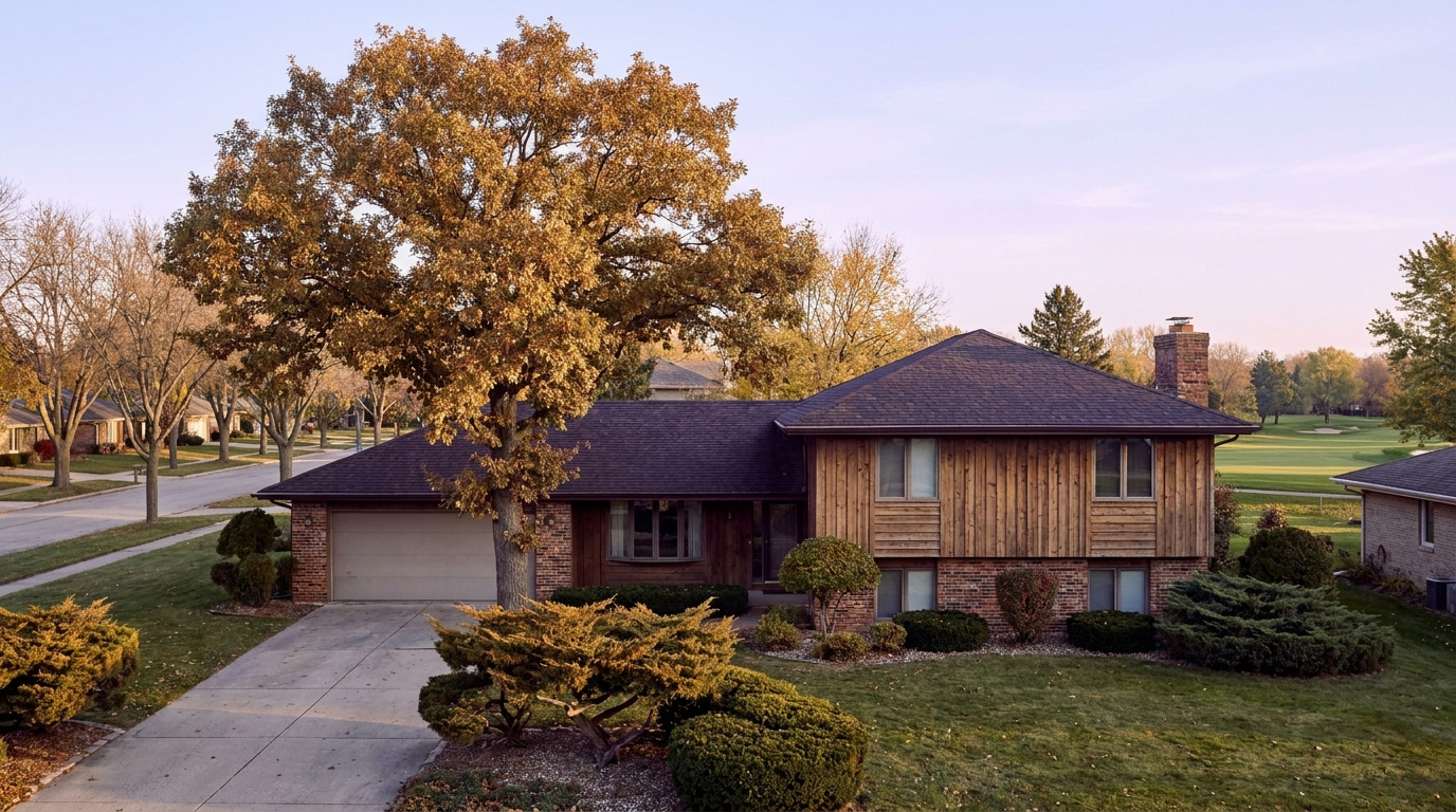
www.livingoutsideseattle.com
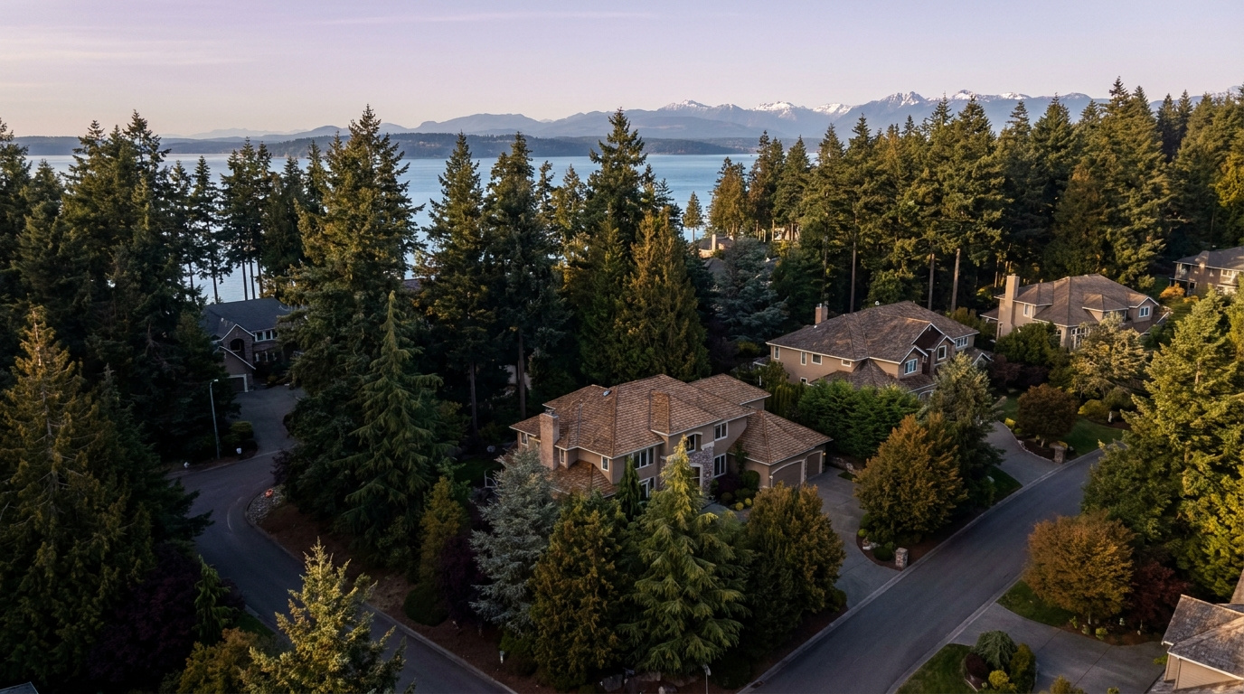
Buyer Resources July 16, 2026

Living in Meridian Valley/Benson Hill, Kent | 2026 Guide

Meridian Valley and the Benson Hill corridor cover the eastern reaches of Kent’s East Hill plateau — Meridian Valley wrapped around its private golf course just north of Lake Meridian, and the Benson corridor running up SR-515 toward the Renton line. This pocket has a Family-First Established feel, built around a private golf course and a string of quiet cul-de-sac streets that have not changed much in thirty years. Buyers who grew up nearby, or who already looked at East Hill and wanted a little more room to breathe, keep circling back to this corner of Kent in 2026. It is close enough to everything and far enough from the noise.

What is it actually like to live in Meridian Valley/Benson Hill in 2026?

Tuesday, 7:15 AM in Meridian Valley. Sprinklers are already running on the golf course, and the loudest thing on most streets is a garbage truck working its way through a cul-de-sac. Commute traffic builds fast once you hit SR-167, but inside the neighborhood itself the pace stays slow. Kids wait for the bus in small clusters at the end of long driveways, and most of the foot traffic before 8 AM is dog walkers making a loop before work.

Weekends center on the golf course and the park. Meridian Valley Country Club pulls in members for early tee times, and North Meridian Park fills up with families by mid-morning on a clear Saturday, kids on the ballfields and the picnic shelters filling by mid-morning. It is not a flashy scene. It is the kind of neighborhood where the same neighbors show up at the same park every weekend and everybody already knows everybody.

The buyers who land here almost always already know Kent. A lot of them grew up on the East Hill plateau a few miles south and want the same school district with a little more space and a quieter street. A smaller group comes from Renton, drawn by the lower price point on this side of the city line. Golf course frontage draws its own crowd too, buyers willing to pay extra for the view and the fairway access, even if they never pick up a club themselves.

Meridian Valley Country Club golf course fairway and mature trees in the Meridian Valley neighborhood of Kent, Washington
The Meridian Valley Country Club golf course anchors the neighborhood and shapes home values on the streets closest to the fairways.

Homes in Meridian Valley/Benson Hill: What the Data Shows

Most homes here went up in the 1980s and 1990s, with a scattering of newer construction filling in smaller lots near the Renton line. Expect 1,800 to 3,200 square feet on lots from 6,500 to 12,000 square feet, and noticeably larger parcels on the streets that back directly onto the golf course. Two-story traditional homes dominate, with a handful of ramblers mixed in from the earliest phase of development. Attached two- and three-car garages are standard, and homes fronting the fairways run bigger and pricier than the rest of the neighborhood.

Market Pulse Meridian Valley/Benson Hill (Kent) King County
Median Sales Price (June 2026) ~$697,000 citywide ~$998,000
Median Days on Market ~12 days ~10 days
Active Listings Change (vs. Jan 2026) +95% +127%

Figures reflect Kent citywide residential data for June 2026, the most recent closed month in the NWMLS export. Meridian Valley and Benson Hill do not get isolated in the monthly pull, so treat the price row as a citywide reference point. In practice, homes on or near the golf course, and homes closest to North Meridian Park, typically sell above this citywide median.

Schools Serving Meridian Valley/Benson Hill

This neighborhood falls inside the Kent School District. Meridian Elementary School anchors the pipeline, sitting right in the neighborhood at 140th Avenue SE. Verifying the actual feeder pattern for this specific area turned up something worth flagging: Meridian Elementary feeds into Mattson Middle School, not Meridian Middle School as some general Kent guides assume. Always confirm the exact feeder for your address before assuming the standard pipeline applies here.

Meridian Elementary runs a Gifted and Talented program alongside its core curriculum, with strong marks in both English Language Arts and math relative to the district average. Mattson Middle School, a short drive north in Covington, offers a Project Lead the Way program that gives students an early run at engineering and technical coursework before high school. Kentwood High School closes out the pipeline with a full slate of Advanced Placement courses and a graduation rate around 96%, along with multiple college success awards in recent years.

The day-in-the-life pipeline here is mostly bus-based. Elementary kids catch the bus at the end of their street, middle schoolers ride further to Mattson, and high schoolers make the longest trip out to Kentwood. Very little of this pipeline is walkable, so factor bus routes and drop-off logistics into your decision if you are relocating with school-age kids.

Getting to Work from Meridian Valley/Benson Hill

Take 132nd Avenue SE or SE 240th Street west to reach SR-167, the Valley Freeway that runs the length of Kent and connects north into Renton and I-405. This is one of the better-connected pockets of Kent for anyone commuting toward the Eastside.

Destination Distance 2026 Drive Time (Peak AM) Transit Option
Downtown Seattle 23 miles 38 to 58 min Metro bus to Kent Sounder Station
Bellevue / Amazon 16 miles 28 to 42 min SR-167 to I-405
Microsoft (Redmond) 24 miles 38 to 52 min SR-167 to I-405 to SR-520
SeaTac Airport 13 miles 18 to 28 min SR-167 to I-5

1980s two-story home with attached garage in the Meridian Valley and Benson Hill area of Kent, Washington
A typical 1980s two-story home on an established street in Meridian Valley/Benson Hill.

What I See as a Valuation Expert in Meridian Valley/Benson Hill

When I price homes for institutional clients, proximity to the golf course tends to drive more of the value swing than almost any other factor in this neighborhood. A home with a direct fairway view, or one backing onto the course itself, commands a real premium over an interior lot of the same size. Roof age and siding condition matter more here than in newer parts of Kent too, since most of this housing stock is now thirty to forty years old and due for a second or third round of major system replacement.

HOA presence is light outside the immediate country club streets, so curb appeal and yard maintenance vary block to block. I still see a lot of original windows and single-pane glass on homes that have not been updated since they were built. That is not a dealbreaker, but it shows up in the comps, often as a five-figure gap between an updated home and one that has not touched its systems since the 1990s.

Golf course frontage and homes within easy walking distance of North Meridian Park sell fastest and hold value best. Interior lots on the older, non-golf-adjacent streets move at a more typical Kent pace and price closer to the citywide median.

Frequently Asked Questions: Living in Meridian Valley/Benson Hill

Q: Is Meridian Valley/Benson Hill a good place to live?
A: Yes, especially if you want an established, quiet neighborhood with strong Eastside commute access and a defining amenity in the Meridian Valley Country Club golf course.

Q: What are homes like in Meridian Valley/Benson Hill?
A: Mostly 1980s and 1990s two-story homes running 1,800 to 3,200 square feet on lots from 6,500 to 12,000 square feet, with larger, pricier parcels backing directly onto the golf course.

Q: What schools serve Meridian Valley/Benson Hill?
A: The Kent School District serves this area. Meridian Elementary feeds into Mattson Middle School and then Kentwood High School. Always confirm the exact pipeline for your address, since some general Kent guides list a different middle school feeder.

Q: How far is Meridian Valley/Benson Hill from Seattle?
A: About 23 miles from downtown Seattle, with a 38 to 58 minute drive during the morning commute. This pocket sits closer to the Eastside than most of Kent, with a 28 to 42 minute drive to Bellevue.

Explore Meridian Valley/Benson Hill Yourself

Drive it on a weekday morning to feel the commute, then come back on a Saturday to see the golf course and North Meridian Park in full use. The difference between a golf-adjacent street and an interior street is easy to see once you are standing on it.

View Meridian Valley/Benson Hill on Google Maps →

Your guide to life outside Seattle.

Gregory Dorrell | Coldwell Banker Bain | WA License #111862
253-350-0045  ·
greg@livingoutsideseattle.com  ·
www.livingoutsideseattle.com
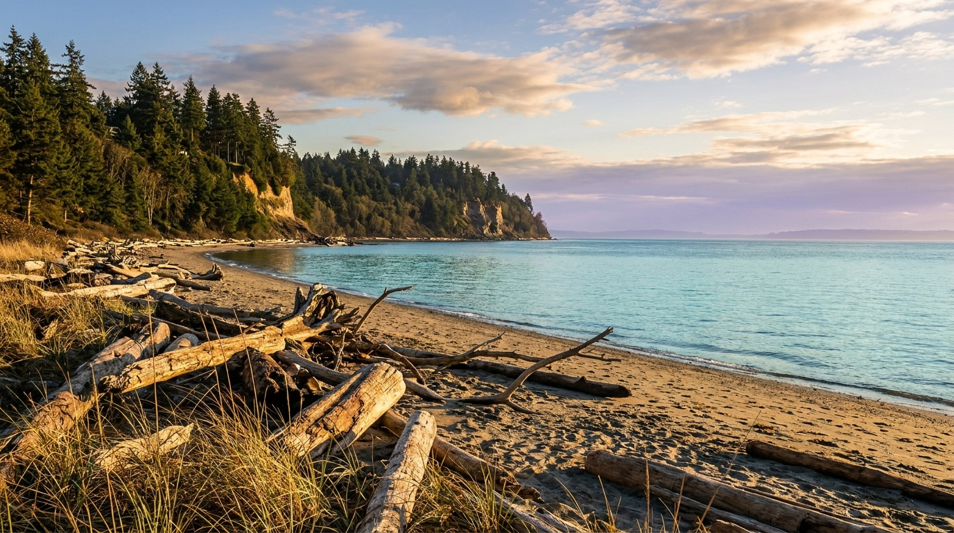
Buyer Resources July 14, 2026

Living in Covington/SE Kent, Kent WA | 2026 Guide

The southeast edge of Kent is where the city starts to loosen up. Fences give way to trees, driveways get longer, and a half-acre lot starts to feel normal instead of rare. This is a Wooded Sanctuary neighborhood, built for buyers who want more land and more quiet without leaving Kent behind entirely. A few streets here carry a Kent address. A few blocks over, you cross into the actual city of Covington, and the line matters less for daily life than it does for which school district shows up on your tax bill.

What is it actually like to live in Covington/SE Kent in 2026?

Tuesday, 7:15 AM in SE Kent. Long driveways mean you do not see your neighbors until you are both backing out toward the main road. Trees still hold most of the morning fog off Soos Creek, and the loudest sound most mornings is a school bus working its way down a cul-de-sac instead of highway traffic. Commuters heading toward SR-167 or the Covington side of SR-516 spread out fast, so the roads rarely feel as tight as East Hill or downtown Kent at the same hour.

Weekends lean toward the yard and the trail. A lot of these lots came with room to garden, park a boat, or let the kids run without hearing a fence line every fifteen feet, and residents use it. Jenkins Creek Park and the Soos Creek trail system pull in families for hikes, and Saturday mornings often mean a drive into Covington Town Center for coffee, groceries, or a kid’s soccer game at one of the nearby fields.

This pocket draws buyers who already looked at East Hill or Lake Meridian and wanted one more thing: space. Buyers who want acreage-adjacent living without leaving the Kent School District orbit end up here, alongside a smaller group willing to buy into the Tahoma School District boundary for that district’s reputation. It is quieter and greener than almost anywhere else in Kent, and buyers usually notice the difference in the first five minutes of a showing.

Wooded trail through Jenkins Creek Park greenbelt in the Covington and SE Kent area of Kent, Washington
The trail through Jenkins Creek Park and the Soos Creek greenbelt anchors weekend life in Covington/SE Kent.

Homes in Covington/SE Kent: What the Data Shows

Homes in Covington/SE Kent mostly went up in the 1990s and early 2000s, later than East Hill and later still than the older stock in West Hill or downtown. Expect 1,800 to 3,500 square feet, with a real mix of two-story traditional homes and single-level ramblers. The defining feature here is the lot, not the house. Quarter-acre parcels are the floor, and half-acre lots show up regularly, especially on the streets closest to the Covington line. Attached three-car garages are common, and a fair number of properties back onto greenbelt or a wooded buffer instead of a neighbor’s fence. Buyers comparing this area to East Hill should expect to pay more for the land, not necessarily for the square footage.

Market Pulse Covington/SE Kent (Kent, 98042) King County
Median Sales Price (June 2026) ~$697,000 citywide ~$998,000
Median Days on Market ~12 days ~10 days
Active Listings Change (vs. Jan 2026) +95% +127%

Figures reflect Kent citywide residential data for June 2026, the most recent closed month in the NWMLS export. This southeast corridor does not get isolated in the monthly pull, so treat the price row as a citywide reference point. In practice, larger-lot homes here, and homes confirmed inside the Tahoma School District boundary, typically sell above this citywide median.

Schools Serving Covington/SE Kent

This is the one part of Kent where the school district itself changes street to street. Most of Covington/SE Kent falls in the Kent School District, but a meaningful stretch closer to the actual city of Covington sits inside the Tahoma School District instead. A home on one side of a street can feed into a completely different set of schools than a home directly across from it. Always confirm the district assignment for the specific address before writing an offer here.

If your address falls in the Kent School District, expect Cedar Valley Elementary, Cedar Heights Middle School, and Kentlake High School as the standard pipeline for this corridor. Cedar Heights runs a Project Lead the Way program alongside its core academics, and Kentlake offers a full Advanced Placement course lineup for families planning ahead for college applications. Confirm this pipeline against the specific address before assuming it applies.

Cross into the Tahoma School District boundary and the pipeline shifts to a Tahoma-zoned elementary school, Maple View Middle School, and Tahoma Senior High School, consistently one of the highest-rated high schools in the state. Tahoma’s boundary reaches into Covington itself and pulls in some SE Kent addresses close to the city line, so a Kent mailing address does not guarantee Kent School District. Confirm the district and the exact school assignment with both districts’ boundary tools before you get attached to a listing.

Getting to Work from Covington/SE Kent

SE Kent sits away from the freeway grid, so plan for surface streets before you reach anything with an interstate number. Take SE 272nd Street or Kent-Kangley Road west to reach SR-167, or head east through Covington and Maple Valley on SR-516 and SR-18.

Destination Distance 2026 Drive Time (Peak AM) Transit Option
Downtown Seattle 24 miles 40 to 60 min Metro bus to Kent Sounder Station
Bellevue / Amazon 22 miles 38 to 55 min SR-18 to I-405
Microsoft (Redmond) 29 miles 45 to 65 min SR-18 to I-405 to SR-520
SeaTac Airport 16 miles 25 to 35 min SR-167 to I-5

1990s two-story home on a wooded half-acre lot in the Covington and SE Kent corridor of Kent, Washington
A typical 1990s two-story home on a wooded half-acre lot in Covington/SE Kent.

What I See as a Valuation Expert in Covington/SE Kent

When I price homes for institutional clients, lot size and privacy tend to carry more of the value swing than almost anywhere else I work in Kent. A well-treed half-acre lot with a usable backyard commands a real premium over a same-square-footage home on a standard quarter-acre, especially when the buffer blocks a neighbor’s view entirely. Septic systems show up on some of the older or more rural parcels out here too, and a septic inspection matters as much as the roof and the furnace when I am pricing a property in this corridor.

School district assignment is its own value driver, separate from the house itself. Two nearly identical homes on opposite sides of the district line can sell for meaningfully different numbers because of the school assignment alone. HOA presence is light out here. Most of these subdivisions went up without one, so curb appeal and maintenance vary more block to block than in a managed community further east.

Homes confirmed inside the Tahoma School District boundary pull the clearest premium in this corridor, and it rests on school reputation alone. Homes backing directly onto greenbelt or Jenkins Creek Park also move faster than interior lots with the same square footage.

Frequently Asked Questions: Living in Covington/SE Kent

Q: Is Covington/SE Kent a good place to live?
A: Yes, especially for buyers who want more land and privacy than East Hill or Lake Meridian offer, and who do not mind trading some freeway access for quieter streets and bigger lots.

Q: What are homes like in Covington/SE Kent?
A: Mostly 1990s and early 2000s construction, running 1,800 to 3,500 square feet on quarter- to half-acre lots, with more wooded and greenbelt-adjacent parcels than almost anywhere else in Kent.

Q: What schools serve Covington/SE Kent?
A: It depends on the exact address. Part of this corridor falls in the Kent School District, with Cedar Valley Elementary, Cedar Heights Middle, and Kentlake High School as the standard pipeline. Part falls in the Tahoma School District, home to Maple View Middle School and Tahoma Senior High School. Always confirm which district serves a specific address before writing an offer.

Q: How far is Covington/SE Kent from Seattle?
A: About 24 miles from downtown Seattle. Driving takes 40 to 60 minutes depending on traffic, since this corridor sits away from the main freeway routes that serve the rest of Kent.

Explore Covington/SE Kent Yourself

Drive the neighborhood before you decide, and drive it twice: once on a weekday morning to feel the commute, and once on a Saturday to see how the trails and the town center actually get used. Lot size and tree cover read completely differently in person than they do in a listing photo.

View Covington/SE Kent on Google Maps →

Your guide to life outside Seattle.

Gregory Dorrell | Coldwell Banker Bain | WA License #111862
253-350-0045  ·
greg@livingoutsideseattle.com  ·
www.livingoutsideseattle.com
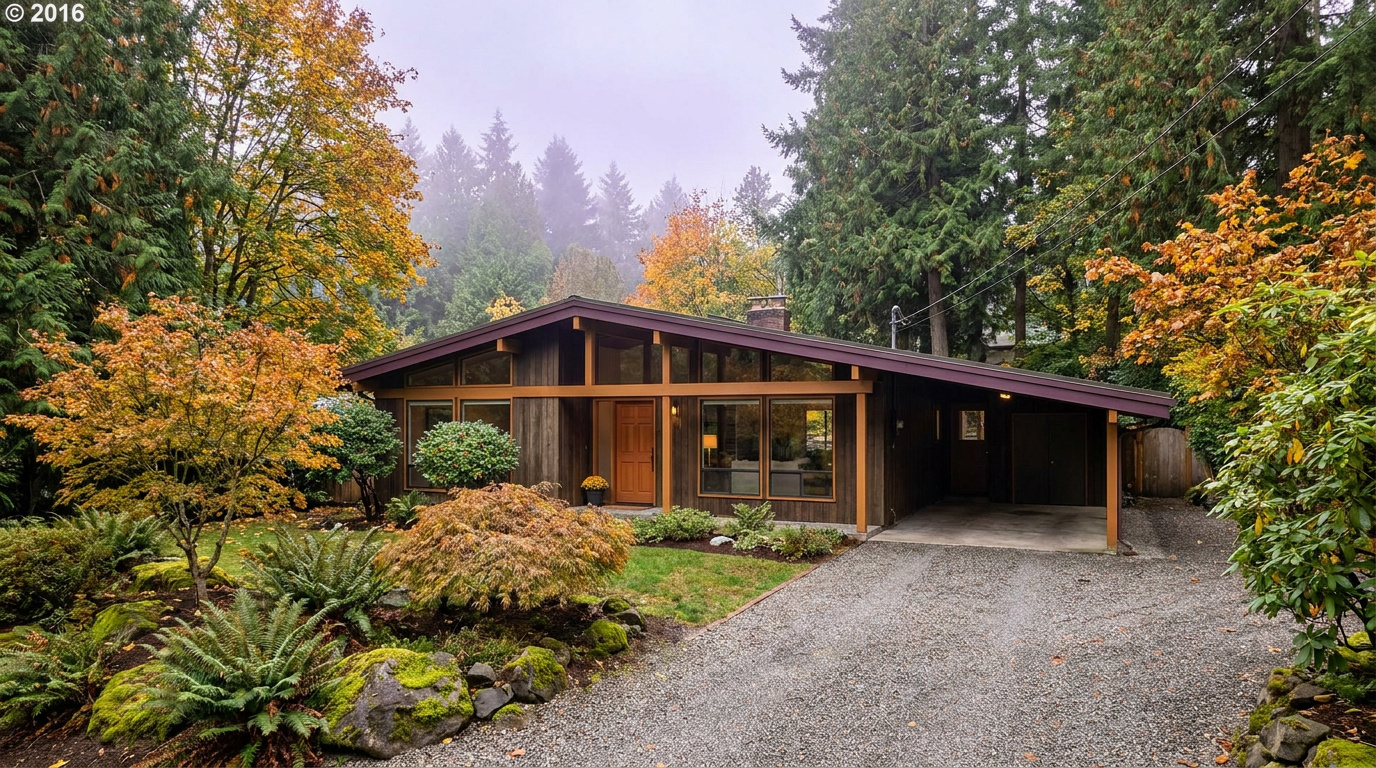
Buyer Resources July 13, 2026

Living in Kent Station/Midway, Kent WA | 2026 Guide

Midway sits at Kent’s north end, where the city runs into SeaTac and Des Moines along SR-99 and I-5. This is a Walkable Urban Edge neighborhood, built around the SR-99 corridor and the new Kent Des Moines light rail station, which opened in December 2025 next to Highline College. Buyers who want the lowest entry price in Kent, or who fly for work and want to feel it in their weekly schedule, end up looking here first. The area has leaned commercial for years, but new residential development keeps filling in around the transit hub.

What is it actually like to live in Kent Station/Midway in 2026?

Tuesday, 7:15 AM in Midway. Link trains pull into the elevated Kent Des Moines Station every few minutes, and RapidRide buses work the Pacific Highway corridor below. SR-99 traffic builds early along the retail strip, but the residential streets just off the highway stay quieter than you would expect this close to a major corridor. Older single-family blocks sit a few minutes’ walk from newer townhome clusters, so the morning rhythm depends on which block you are standing on.

Weekends lean local: errands along the SR-99 retail strip, campus events at Highline College, and quick trips to the Des Moines waterfront a few minutes west. A fair number of residents ride Link or RapidRide to SeaTac for a flight without ever touching I-5. This is not a neighborhood built around a single park the way Lake Meridian is built around its beach. The draw here is proximity, to the airport, to transit, and to a lower price point than almost anywhere else in Kent.

Who lives in Midway? A lot of first-time buyers and renters converting to owners, priced out of the rest of Kent or the Eastside. Frequent flyers and commuters who value the SeaTac drive time above square footage. And a growing number of buyers eyeing the newer townhome product near the light rail station, trading a bigger lot for walkability and a lower payment. Everywhere else in Kent sells space. Midway sells access.

Commuters using the RapidRide bus platform at the Kent Station transit center in the Midway area of Kent, Washington
The elevated Kent Des Moines Link station anchors daily life in Midway, with 1 Line trains and RapidRide service connecting residents to SeaTac, Seattle, and beyond.

Homes in Kent Station/Midway: What the Data Shows

Housing in Midway mixes two very different generations of product. Older single-family homes, most built between the 1950s and 1970s, sit on standard city lots close to the highway corridor, running 900 to 1,700 square feet. Alongside them, newer townhomes and multi-family buildings have gone up over the last decade near the light rail station, offering 2 and 3 bedroom layouts with attached garages and less yard to maintain. Lot sizes on the older single-family stock run 5,000 to 7,500 square feet. Buyers should expect more deferred maintenance here than in East Hill or Lake Meridian. This pocket has historically drawn less renovation investment than the newer subdivisions further east.

Market Pulse Kent Station/Midway (Kent, 98032) King County
Median Sales Price (June 2026) ~$697,000 citywide ~$998,000
Median Days on Market ~12 days ~10 days
Active Listings Change (vs. Jan 2026) +95% +127%

Figures reflect Kent citywide residential data for June 2026, the most recent closed month in the NWMLS export. Midway does not get isolated in the monthly pull, so treat the price row as a citywide reference point. In practice, older single-family homes in Midway itself typically sell below this citywide median, while newer townhome product near the light rail station prices closer to or above it.

Schools Serving Kent Station/Midway

Midway falls inside the Kent School District. Kent Elementary School, on 64th Avenue South, is the confirmed elementary for the 98032 corridor that includes this area. Confirm your specific street with the district before writing an offer, since Midway sits close to where Kent, Des Moines, and SeaTac attendance zones meet.

Kent Elementary runs standard neighborhood programming with a tight community feel, typical of the district’s smaller, older elementary campuses. Middle and high school assignment for this corridor should be verified directly. General district feeder patterns point toward Mill Creek Middle School and Kent-Meridian High School, but that has not been confirmed at the address level for the Midway pocket. This is one area of Kent where a five-minute call to the district saves a real headache later.

Elementary-age kids in most of Midway walk or bus a short distance to Kent Elementary. Middle and high schoolers bus further, and the exact route depends on which side of the SR-99 corridor the address falls on, since this stretch sits close to a boundary line rather than squarely inside one attendance zone.

Getting to Work from Kent Station/Midway

Midway is the most transit-connected pocket of Kent by a wide margin. Take Pacific Highway South (SR-99) directly to I-5 in either direction, or ride Link light rail from the Kent Des Moines Station, with RapidRide A running the corridor and reaching SeaTac in minutes without touching a freeway at all.

Destination Distance 2026 Drive Time (Peak AM) Transit Option
Downtown Seattle 18 miles 30 to 50 min Link 1 Line from Kent Des Moines Station
Bellevue / Amazon 20 miles 35 to 50 min I-5 to I-405
Microsoft (Redmond) 27 miles 42 to 60 min I-5 to SR-520
SeaTac Airport 5 miles 10 to 15 min SR-99 or RapidRide
1960s single-family home exterior on a standard city lot near the Kent Station transit corridor in Kent, Washington
A typical 1960s single-family home on a standard city lot in the Midway area of Kent.

What I See as a Valuation Expert in Kent Station/Midway

When I price homes for institutional clients, condition tends to carry more of the value swing than almost anywhere else I work in Kent. This pocket has an older housing stock that has not kept pace with the renovation investment I see in East Hill or Lake Meridian, so a well-updated single-family home stands out fast against its neighbors. Systems age matters too. Roofs, furnaces, and electrical panels on 1950s and 1960s homes need a hard look before you write an offer.

HOA presence is light on the older single-family stock and more common on newer townhome developments near the light rail station. Curb appeal varies block to block more than in a managed subdivision, and highway noise is a real factor on blocks closest to SR-99 that buyers should walk and listen to in person before deciding. Proximity to transit and the airport is the value driver that outweighs almost everything else here.

Newer townhomes within a short walk of the light rail station pull the strongest premium in this corridor, especially units marketed toward commuters and frequent flyers. Well-maintained transit-adjacent townhomes typically sell at a clear premium over comparable units a half-mile further out, even with nearly identical square footage and finish level.

Frequently Asked Questions: Living in Kent Station/Midway

Q: Is Kent Station/Midway a good place to live?
A: Yes, especially for buyers who want the lowest entry price in Kent and value transit and airport access over lot size. It is one of the most walkable, transit-connected pockets in the city.

Q: What are homes like in Kent Station/Midway?
A: A mix of older single-family homes from the 1950s through 1970s running 900 to 1,700 square feet, alongside newer townhomes and multi-family buildings near the light rail station. Older homes here often need more updating than homes further east in Kent.

Q: What schools serve Kent Station/Midway?
A: The area falls in the Kent School District. Kent Elementary School is the confirmed elementary for the 98032 corridor. Middle and high school assignment should be confirmed directly with the district, since Midway sits close to where Kent, Des Moines, and SeaTac boundaries meet.

Q: How far is Kent Station/Midway from Seattle?
A: About 18 miles north of downtown Seattle. Driving takes 30 to 50 minutes at peak times, or ride Link light rail straight from Kent Des Moines Station. SeaTac Airport is just 5 miles away, about 10 to 15 minutes without touching I-5.

Explore Kent Station/Midway Yourself

Stand under the elevated platform at Kent Des Moines Station before you decide. Watch the trains and buses cycle through, and get a feel for how much of the daily rhythm here revolves around transit instead of a car. It reads completely differently in person than it does from a listing photo of the house alone.

View Kent Station/Midway on Google Maps →

Your guide to life outside Seattle.

Gregory Dorrell | Coldwell Banker Bain | WA License #111862
253-350-0045  ·
greg@livingoutsideseattle.com  ·
www.livingoutsideseattle.com
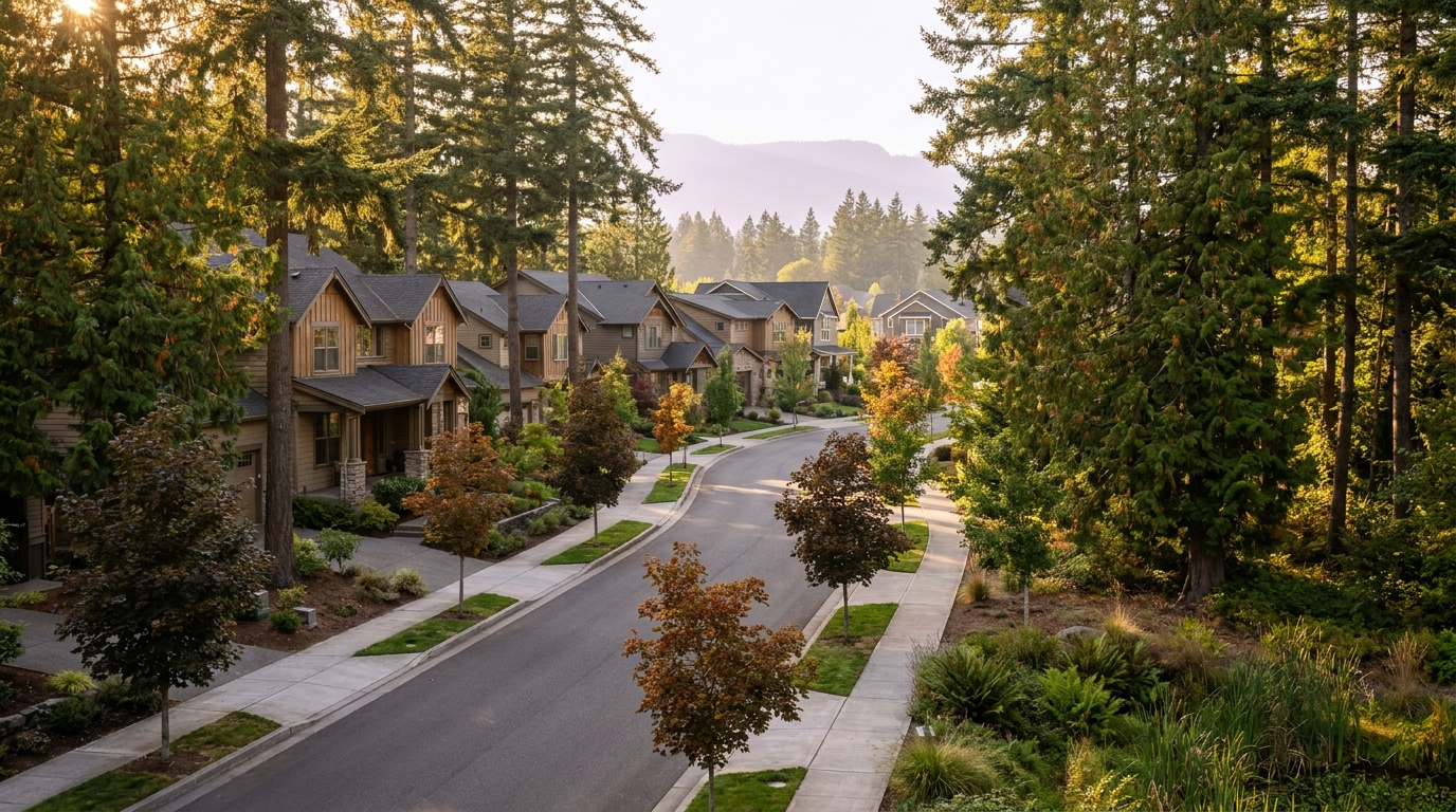
Buyer Resources July 12, 2026

Living in Soos Creek Corridor, Kent WA | 2026 Guide

The Soos Creek Corridor is the long green spine running through East Hill Kent, built around nearly six miles of paved trail that follows Big Soos Creek from SE 192nd Street south toward Lake Meridian. It is a Wooded Sanctuary neighborhood, the kind of place where the trees showed up before the houses did. Buyers looking for space, quiet, and a real creek in the backyard, without giving up East Hill’s schools and commute options, end up here more than almost anywhere else I show in Kent. Most of the corridor sits on quarter-acre to half-acre lots, rare this close to the city core.

What is it actually like to live in Soos Creek Corridor in 2026?

Tuesday, 7:15 AM along the Soos Creek Corridor. The trail already has a steady stream of runners and dog walkers before most of the neighborhood has finished coffee, cutting through fog that hangs low over the creek bed under the fir canopy. Driveways here tend to be long, and a lot of them curve out of sight from the street, so you do not see your neighbors’ houses so much as their mailboxes. The quiet is the first thing people notice. No highway hum, just birds and the occasional school bus working its way down a cul-de-sac.

Weekends belong to the trail and the trees. Families walk the Soos Creek Trail in both directions, cyclists use it as a training loop, and a fair number of residents just disappear into their own half-acre for the better part of a Saturday, mowing, gardening, or building something in the garage. It is not a neighborhood built around a single gathering spot the way Lake Meridian is built around its beach. The draw here is space and privacy.

Who lives in the corridor? A lot of move-up buyers who outgrew a smaller East Hill lot and wanted room for a shop, a garden, or horses on the larger parcels. Buyers who found a lot big enough for a second dwelling. And a steady trickle of buyers priced out of Maple Valley or Covington who found the same wooded, semi-rural feel closer to Kent’s core, at a lower price. Everywhere else in Kent sells proximity. This stretch sells distance, even though you are still minutes from Kent-Kangley Road.

Walkers and cyclists on the paved Soos Creek Trail through the wooded corridor in Kent, Washington
The Soos Creek Trail runs nearly six miles through the corridor, the daily gathering place for walkers, runners, and cyclists.

Homes in Soos Creek Corridor: What the Data Shows

Housing along the Soos Creek Corridor runs a wider mix than most East Hill pockets. You will find 1970s and 1980s split-levels and daylight ranches on the older, more established lots, alongside newer 1990s and 2000s two-story construction on subdivided parcels closer to the trail access points. Sizes typically run 1,900 to 3,600 square feet, and lots range from a standard quarter-acre up to a full acre or more on the older parcels. A handful of horse properties and true acreage lots still exist here, getting harder to find every year as infill development fills the gaps. Buyers should budget for well and septic checks on the older acreage parcels, since some of this stretch never connected to city sewer.

Market Pulse Soos Creek Corridor (Kent, 98042) King County
Median Sales Price (June 2026) ~$697,000 citywide ~$998,000
Median Days on Market ~12 days ~10 days
Active Listings Change (vs. Jan 2026) +95% +127%

Figures reflect Kent citywide residential data for June 2026, the most recent closed month in the NWMLS export. The Soos Creek Corridor does not get isolated in the monthly pull, so treat the price row as a citywide reference point, not a corridor-specific number. Larger acreage parcels along the corridor typically sell above this citywide median.

Schools Serving Soos Creek Corridor

The Soos Creek Corridor falls inside the Kent School District. Soos Creek Elementary, right on 218th Place, is the confirmed elementary for most of this stretch. As with anywhere along a long, spread-out corridor like this, confirm your specific address with the district before writing an offer. Boundaries here can shift more than in a compact neighborhood, since the corridor runs nearly six miles north to south.

Soos Creek Elementary runs a Gifted and Talented program and keeps a student-teacher ratio close to 14 to 1, tighter than the district average, with a close-knit community feel that shows up often in parent reviews. Middle school for this area is worth a closer look before you buy: the district’s East Hill middle feeder carries a Renton mailing address even though the school itself is part of Kent School District, which throws off a lot of online searches that filter strictly by city name. High school assignment for this specific stretch of the corridor should be confirmed directly with the district rather than assumed from the neighboring Lake Meridian pipeline.

Elementary-age kids in most of the corridor bus a short distance to Soos Creek Elementary. Middle schoolers bus toward the East Hill middle feeder, and the high school leg of the trip depends on your exact address within the corridor, since this stretch sits near a boundary line rather than squarely inside one attendance zone.

Getting to Work from Soos Creek Corridor

The corridor sits inland on the East Hill plateau, so plan on driving or catching a bus rather than walking to transit. Take Kent-Kangley Road or SE 208th Street west to 104th Ave SE, then head north or south to pick up SR-167, or catch a King County Metro bus along 132nd Ave SE toward the Kent Sounder Station for the train into Seattle.

Destination Distance 2026 Drive Time (Peak AM) Transit Option
Downtown Seattle 26 miles 40 to 60 min Metro Bus to Sounder Train
Bellevue / Amazon 19 miles 35 to 50 min SR-167 to I-405
Microsoft (Redmond) 26 miles 42 to 58 min SR-167 to SR-520
SeaTac Airport 13 miles 20 to 30 min SR-167 / I-5

1980s daylight ranch home exterior on a wooded lot along the Soos Creek Corridor in Kent, Washington
A typical 1980s daylight ranch on a wooded quarter-acre lot in the Soos Creek Corridor.

What I See as a Valuation Expert in Soos Creek Corridor

In Soos Creek Corridor, lot size and privacy drive more of the value than square footage alone. A half-acre lot backing directly onto the trail or the creek greenbelt appraises differently than an identical house on a standard 7,000 square foot lot two streets over. Septic and well systems on the older acreage parcels need a hard look too. A failed septic inspection can knock a deal sideways fast.

HOA presence is light to nonexistent along most of the corridor, which buyers looking for space tend to like. That also means curb appeal and maintenance vary more block to block than in a managed subdivision. Long driveways and wooded lots can hide deferred exterior maintenance a drive-by would miss on a more open lot, so I always recommend a full walk of the property line, not just the house.

Lots with direct trail or creek access, and true half-acre-plus parcels, move first and pull the strongest premium I track in this corridor. Well-maintained homes on trail-adjacent lots typically sell 10% to 18% above comparable homes on standard lots just a few blocks away with no greenbelt exposure at all.

Frequently Asked Questions: Living in Soos Creek Corridor

Q: Is the Soos Creek Corridor a good place to live?
A: Yes, especially for buyers who want space, privacy, and direct trail access without leaving Kent. It is one of the few pockets of East Hill with quarter-acre to full-acre lots still common on the market.

Q: What are homes like in the Soos Creek Corridor?
A: A mix of 1970s to 2000s construction running 1,900 to 3,600 square feet, on lots ranging from a standard quarter-acre up to an acre or more on the older parcels. Some homes still run on well and septic systems.

Q: What schools serve the Soos Creek Corridor?
A: The corridor falls in the Kent School District. Soos Creek Elementary is the confirmed elementary for most of the area. Middle and high school assignment should be confirmed directly with the district, since this long corridor sits near a boundary line.

Q: How far is the Soos Creek Corridor from Seattle?
A: About 26 miles south of downtown Seattle. Driving takes 40 to 60 minutes at peak times, or you can catch a King County Metro bus to the Kent Sounder Station and ride the train in.

Explore Soos Creek Corridor Yourself

Walk a stretch of the trail before you decide. Park at one of the access points along 148th Ave SE, and get a feel for how much of this corridor is genuinely wooded versus built up. It reads completely differently in person than it does from a listing photo of the house alone.

View Soos Creek Corridor on Google Maps →

Your guide to life outside Seattle.

Gregory Dorrell | Coldwell Banker Bain | WA License #111862
253-350-0045  ·
greg@livingoutsideseattle.com  ·
www.livingoutsideseattle.com
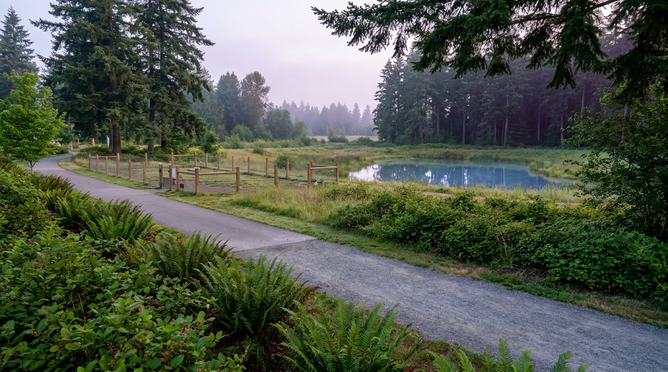
KentKing County CitiesKing County Neighborhoods July 11, 2026

Living in Panther Lake, Kent WA | 2026 Neighborhood Guide

Panther Lake sits in central Kent East Hill, built around the small lake that gives the neighborhood its name. It is a Wooded Sanctuary neighborhood, quiet and tucked away, even though it sits just a few minutes from the busier East Hill shopping corridors. Most homes here went up in the 1980s and 1990s, and a newer ring of townhomes sits closer to the water itself. If you want a real neighborhood feel built around a small water amenity, at a lower price than Lake Meridian, Panther Lake is where I start the search.

What is it actually like to live in Panther Lake in 2026?

Tuesday, 7:15 AM at Panther Lake. Mist still sits over the water while a few early walkers make their way around the trail loop before work. Garage doors open one after another on the streets ringing the lake, and traffic heading out toward 132nd Ave SE is steady but never backed up. This is not a neighborhood in a hurry. Kids wait for the bus near the elementary school, and the loudest sound most mornings is a woodpecker working one of the big firs along the shoreline.

Weekends slow down even more. Fishing poles come out near the small dock by the park entrance, and the trail sees a steady stream of dog walkers and stroller pushers most of Saturday morning. Families head a few minutes south to Lake Meridian Park when they want a real swim beach, but plenty of Panther Lake residents never leave the neighborhood at all. A short drive to the Fred Meyer or the East Hill Safeway covers most errands. Sunday afternoons mean yard work and driveway basketball.

Who lives here? A mix of young families moving up from a starter condo, longtime East Hill residents who bought specifically for the lake, and a smaller group of retirees in the older ranch homes closest to the water. What sets Panther Lake apart from the rest of East Hill is scale. It is small and self-contained, built around one shared amenity, instead of spreading across a big grid of subdivisions the way Kent East Hill does as a whole.

Walkers on the paved trail loop around Panther Lake in Kent, Washington
The trail loop around Panther Lake is the neighborhood’s daily gathering spot, used by walkers, runners, and anglers alike.

Homes in Panther Lake: What the Data Shows

Panther Lake’s housing stock is mostly 1980s and 1990s construction, single-level and two-story homes on modest East Hill lots. Sizes typically run 1,400 to 2,600 square feet on lots between 6,000 and 9,000 square feet. A newer ring of townhomes went up closer to the water in the 2010s, giving buyers a lower-maintenance option without leaving the lake behind. Homes directly on the water are rare and do not turn over often. When they do, they tend to sell fast. Most of the housing stock needs the usual checks for a neighborhood this age: roof, furnace, and water heater, since a lot of the original systems are approaching or past their expected life.

Market Pulse Panther Lake (Kent, 98031) King County
Median Sales Price (June 2026) ~$697,000 citywide ~$998,000
Median Days on Market ~12 days ~10 days
Active Listings Change (vs. Jan 2026) +95% +127%

Figures reflect Kent citywide residential data for June 2026, the most recent closed month in the NWMLS export. Panther Lake does not get isolated in the monthly pull, so treat the price row as a citywide reference point, not a Panther Lake-specific number.

Schools Serving Panther Lake

Panther Lake falls inside the Kent School District. Panther Lake Elementary sits right in the neighborhood and is the primary feeder for nearly every address here, feeding into Meridian Middle School and then Kentwood High School. As with anywhere in Kent, confirm your specific address with the district before writing an offer. Boundaries can shift block by block near the edges of any attendance zone.

Panther Lake Elementary runs a Gifted and Talented program alongside its standard track, and its small size, under 450 students, means a lower student-teacher ratio than a lot of the district. Meridian Middle layers on a Project Lead The Way engineering and design curriculum for students who want hands-on STEM work before high school. Kentwood High offers Advanced Placement coursework and its own Gifted and Talented track, with a graduation rate around 96 percent, well above the state average.

Elementary kids in Panther Lake mostly walk or take a short bus ride, since the school sits right inside the neighborhood boundary. Middle and high schoolers bus out, Meridian Middle a short ride north and Kentwood High a longer ride south into Covington, where the school is actually located even though it serves Kent addresses.

Getting to Work from Panther Lake

Panther Lake sits inland on the East Hill plateau, so you will drive or bus to reach the Sounder rather than walk to it like you can from downtown Kent. Take SE 208th Street west to 104th Ave SE, then head south to pick up SR-167, or catch King County Metro Route 914 straight to the Kent Sounder Station for the train into Seattle.

Destination Distance 2026 Drive Time (Peak AM) Transit Option
Downtown Seattle 26 miles 40 to 60 min Metro 914 to Sounder Train
Bellevue / Amazon 19 miles 35 to 50 min SR-167 to I-405
Microsoft (Redmond) 26 miles 42 to 58 min SR-167 to SR-520
SeaTac Airport 13 miles 20 to 30 min SR-167 / I-5

1980s single-level home exterior near Panther Lake in Kent, Washington
A typical 1980s single-level home on one of the streets ringing Panther Lake.

What I See as a Valuation Expert in Panther Lake

In Panther Lake, the roof and the original mechanical systems get the closest look for valuation. A big share of Panther Lake’s housing stock is now 30 to 40 years old, and I see furnaces and water heaters original to the house more often here than in East Hill’s newer pockets. Buyers who skip a full inspection on an older Panther Lake home are taking on real risk they cannot see from the curb.

HOA dues matter more here than in most of East Hill because of the newer townhomes ringing the lake. Those typically run $150 to $275 a month, covering exterior maintenance and shared landscaping. Older single-family homes on the streets further from the water carry no HOA at all, which is one reason buyers on a tighter budget gravitate toward those blocks first.

The streets closest to the water, with a real lake view or easy trail access, move first and pull a real premium. Updated homes on those blocks typically sell 6% to 10% above comparable homes two or three streets back with no lake proximity at all.

Frequently Asked Questions: Living in Panther Lake

Q: Is Panther Lake a good place to live?
A: Yes, especially for buyers who want a real neighborhood feel built around a small lake at a lower price point than Lake Meridian. Panther Lake blends established 1980s and 1990s homes with newer townhomes near the water, all inside the Kent School District.

Q: What are homes like in Panther Lake?
A: Mostly 1980s and 1990s single-family homes running 1,400 to 2,600 square feet, plus a newer ring of townhomes built in the 2010s closer to the lake. Homes directly on the water are rare and tend to sell fast when they come up.

Q: What schools serve Panther Lake?
A: Panther Lake falls in the Kent School District. Panther Lake Elementary feeds into Meridian Middle School, which feeds into Kentwood High School. Always confirm your exact address with the district.

Q: How far is Panther Lake from Seattle?
A: Panther Lake sits about 26 miles south of downtown Seattle. Driving takes 40 to 60 minutes at peak times, or you can catch King County Metro Route 914 down to the Kent Sounder Station and ride the train in.

Explore Panther Lake Yourself

Walk the loop trail around the lake before you decide. Grab coffee at the Starbucks near 208th and Benson, then swing back through on a Saturday morning to see the neighborhood at its most active. Panther Lake reads completely differently on the trail than it does from listing photos.

View Panther Lake on Google Maps →

Your guide to life outside Seattle.

Gregory Dorrell | Coldwell Banker Bain | WA License #111862
253-350-0045  ·
greg@livingoutsideseattle.com  ·
www.livingoutsideseattle.com
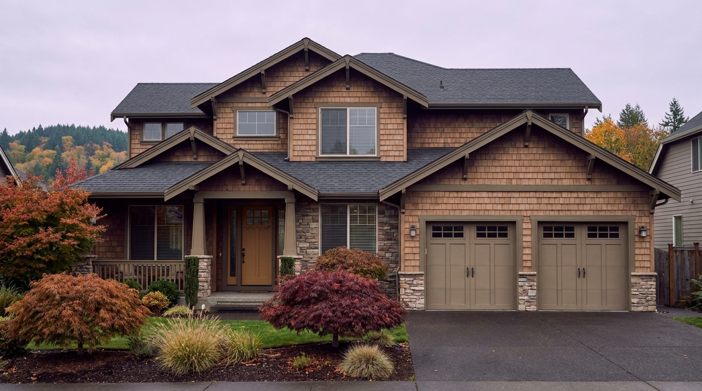
Buyer Resources July 11, 2026

Living in Lake Meridian, Kent WA | 2026 Guide

Lake Meridian is one of Kent’s premier addresses, wrapped around the swim lake of the same name in central-east Kent. It is a Family-First Established neighborhood, built for weekends at the beach and evenings on the water, not just a commute stop between work and home. Most homes here went up in the 1980s and 1990s, with larger newer construction filling in on the lots closest to the shoreline. If you want real lake access without an Eastside price tag, Lake Meridian is where I start almost every water-focused search in Kent.

What is it actually like to live in Lake Meridian in 2026?

Tuesday, 7:20 AM at Lake Meridian. Fog is still burning off the water while a few paddleboarders get an early start before the wind picks up. Cars ease out of driveways along the streets that ring the lake, and the short line at the coffee stand near Kent-Kangley Road is the closest thing to rush hour this neighborhood has. Kids gather at bus stops shaded by big cedars, and the whole street smells like cut grass most mornings in summer.

Weekends are where Lake Meridian really shows itself. The park fills up fast on a warm Saturday, families staking out spots on the beach by 10 AM, jet skis and small boats coming and going from the launch all afternoon. It is the kind of place where neighbors know each other because they are standing next to each other at the swim area every July. Sunday mornings slow back down to yard work, driveway basketball, and the occasional garage sale sign at the corner.

Who lives here? Established buyers who bought specifically for the lake and never left, move-up buyers trading a smaller East Hill house for more space and water access, and a growing number of buyers moving in from pricier parts of King County who cannot believe a lake lot costs what it does in Kent. What sets Lake Meridian apart from the rest of East Hill is the water itself. Most Kent neighborhoods sell a good school and a fair price. Lake Meridian sells a lifestyle built around one shared amenity that nothing else in the city can match.

Families at the swim beach and boat launch at Lake Meridian Park in Kent, Washington
Lake Meridian Park’s beach and boat launch are the neighborhood’s summer gathering spot, drawing residents from across East Hill.

Homes in Lake Meridian: What the Data Shows

Lake Meridian’s housing stock is mostly 1980s and 1990s construction, with a run of larger newer builds on the parcels closest to the water. Sizes typically run 1,800 to 3,400 square feet on lots between 7,000 and 12,000 square feet, and some of the waterfront parcels run bigger still. Homes directly on the lake or with private dock access are rare and carry a real premium when they come up. Away from the water, this is a solid, well-kept middle-to-upper-market pocket of East Hill, with pride of ownership that shows in the yards and the exteriors. Buyers should still budget for the usual age-related checks: roof, furnace, and water heater on anything built before the mid-1990s.

Market Pulse Lake Meridian (Kent, 98042) King County
Median Sales Price (June 2026) ~$697,000 citywide ~$998,000
Median Days on Market ~12 days ~10 days
Active Listings Change (vs. Jan 2026) +95% +127%

Figures reflect Kent citywide residential data for June 2026, the most recent closed month in the NWMLS export. Lake Meridian does not get isolated in the monthly pull, so treat the price row as a citywide reference point, not a Lake Meridian-specific number. Waterfront and near-water parcels sell well above this citywide median.

Schools Serving Lake Meridian

Lake Meridian falls inside the Kent School District. Meridian Elementary is the primary feeder for nearly every address in the neighborhood, feeding into Meridian Middle School and then Kentwood High School. As with anywhere in Kent, confirm your specific address with the district before writing an offer. Boundaries can shift block by block near the edges of any attendance zone.

Meridian Elementary runs a Gifted and Talented program and keeps a student-teacher ratio close to 15 to 1, a little tighter than the district average. Meridian Middle layers on a Project Lead The Way engineering and design curriculum for students who want hands-on STEM work before high school. Kentwood High offers Advanced Placement coursework and its own Gifted and Talented track, with a graduation rate around 96 percent and an average SAT score above 1200, both well above the state average.

Elementary kids in Lake Meridian mostly bus a short distance to Meridian Elementary, since it sits centrally in the East Hill zone. Middle schoolers bus to Meridian Middle nearby, and high schoolers take a longer ride south to Kentwood High, which is actually located in Covington even though it serves most of East Hill Kent.

Getting to Work from Lake Meridian

Lake Meridian sits inland on the East Hill plateau, so plan on driving or busing to reach the Sounder rather than walking to it like you can from downtown Kent. Take Kent-Kangley Road west to 104th Ave SE, then head south to pick up SR-167, or catch a King County Metro bus along 132nd Ave SE to the Kent Sounder Station for the train into Seattle.

Destination Distance 2026 Drive Time (Peak AM) Transit Option
Downtown Seattle 27 miles 40 to 60 min Metro Bus to Sounder Train
Bellevue / Amazon 20 miles 35 to 50 min SR-167 to I-405
Microsoft (Redmond) 27 miles 42 to 58 min SR-167 to SR-520
SeaTac Airport 14 miles 20 to 30 min SR-167 / I-5

1990s two-story home exterior near Lake Meridian in Kent, Washington
A typical 1990s two-story home on one of the streets near Lake Meridian.

What I See as a Valuation Expert in Lake Meridian

In Lake Meridian, water proximity drives more of the value swing than almost anything else in Kent. A home on the water, or with a private dock, gets appraised on a completely different curve than one three streets back with no lake access at all. Beyond that, the usual suspects matter: roof age, original mechanical systems, and any deferred maintenance on homes now pushing 30 to 40 years old.

HOA presence is inconsistent here. Some of the streets closest to the water carry a modest HOA covering shared dock or beach access, typically $100 to $200 a month, while other blocks have no HOA at all. Curb appeal and yard condition matter more in Lake Meridian than in a lot of Kent, since buyers touring this neighborhood are shopping for a lifestyle, not just a floor plan.

Waterfront and near-water parcels move first and pull the biggest premium I track anywhere in Kent. Updated lake-adjacent homes typically sell 15% to 25% above comparable homes two or three streets back with no water access at all, and true waterfront lots with dock rights push that gap even higher.

Frequently Asked Questions: Living in Lake Meridian

Q: Is Lake Meridian a good place to live?
A: Yes, especially if you want real lake access, a beach and boat launch, and strong Kent School District schools in one neighborhood. Lake Meridian is one of the most established and consistently in-demand pockets of East Hill Kent.

Q: What are homes like in Lake Meridian?
A: Mostly 1980s and 1990s construction running 1,800 to 3,400 square feet, with larger newer homes on the parcels closest to the water. Waterfront and near-water lots are rare and sell at a significant premium over the rest of the neighborhood.

Q: What schools serve Lake Meridian?
A: Lake Meridian falls in the Kent School District. Meridian Elementary feeds into Meridian Middle School, which feeds into Kentwood High School. Always confirm your exact address with the district.

Q: How far is Lake Meridian from Seattle?
A: Lake Meridian sits about 27 miles south of downtown Seattle. Driving takes 40 to 60 minutes at peak times, or you can catch a King County Metro bus to the Kent Sounder Station and ride the train in.

Explore Lake Meridian Yourself

Spend a Saturday at the park before you decide. Walk the beach, watch the boat launch traffic, and grab lunch nearby on Kent-Kangley Road. Lake Meridian reads completely differently in person on a warm summer weekend than it does from listing photos alone.

View Lake Meridian on Google Maps →

Your guide to life outside Seattle.

Gregory Dorrell | Coldwell Banker Bain | WA License #111862
253-350-0045  ·
greg@livingoutsideseattle.com  ·
www.livingoutsideseattle.com
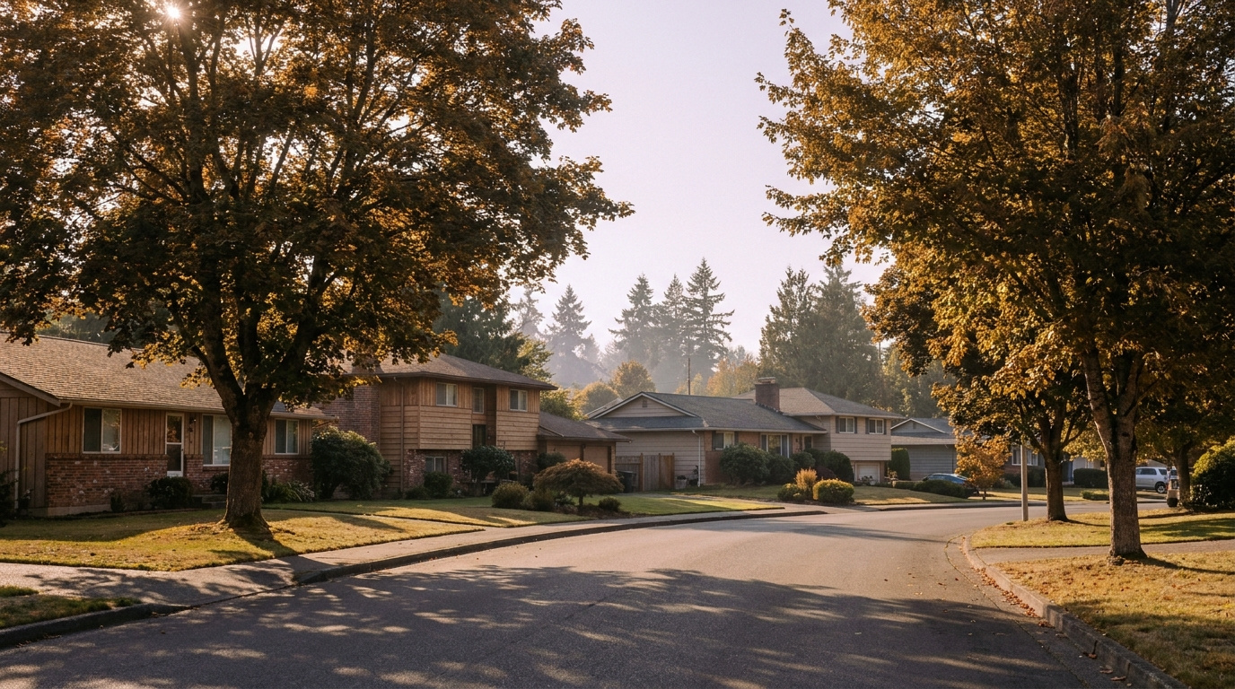
KentKing County Neighborhoods July 9, 2026

Living in Downtown Kent, WA | 2026 Neighborhood Guide

Downtown Kent and the valley floor sit at the base of the East Hill and West Hill plateaus, right along the Green River. This is the most walkable, most urban part of the city, and it is also the most affordable place to buy in 2026. It is a Walkable Urban Edge neighborhood. Older craftsman and mid-century homes sit blocks from newer condos and townhomes near the transit center, and the whole area is built around the Kent Sounder Station. If your budget is tight and you want the shortest commute into Seattle, this is where I start most first-time buyers.

What is it actually like to live in Downtown Kent in 2026?

Tuesday, 7:30 AM near the Kent Sounder Station. Commuters walk in from the surrounding blocks with coffee in hand, timing their arrival to the platform down to the minute. A few cyclists roll past on their way to the Green River Trail before work. Downtown’s coffee shops are already busy, and the sidewalks here actually see foot traffic, which is rare in most of Kent. This is a neighborhood built around not needing a car for everything.

Weekends shift the energy. Kent Station, the outdoor shopping and entertainment center a few blocks from the historic core, pulls in families for the movie theater and restaurants. The farmers market runs seasonally on Saturdays in the historic downtown blocks. Runners and cyclists use the Green River Trail for miles at a stretch, connecting north toward Renton and south toward Auburn. It is a livelier, more social pace than the residential plateaus above.

Who lives here? A mix of first-time buyers priced out of East Hill or West Hill, renters converting to owners in the newer townhome developments near the transit center, and long-time residents in the older craftsman homes closer to the historic district. What separates downtown from the rest of Kent is density and walkability. You can live here without driving every day, which is not true anywhere else in the city.

Cyclists and walkers on the Green River Trail through downtown Kent, Washington
The Green River Trail runs straight through downtown Kent, connecting residents to miles of walking and biking without a car.

Homes in Downtown Kent: What the Data Shows

Downtown Kent has the oldest and most varied housing stock in the city. Older craftsman and mid-century homes from the 1920s through the 1960s sit closest to the historic core, typically running 1,000 to 1,800 square feet on smaller in-town lots. Closer to the transit center, newer condo and townhome developments from the 2010s and 2020s fill in the gaps, offering lower-maintenance options for buyers who want walkability without yard work. Prices here are the lowest in Kent, often the entry point for buyers who cannot compete on East Hill or Lake Meridian. It is not a polished neighborhood everywhere, but the value and the transit access are real.

Market Pulse Downtown Kent King County
Median Sales Price (June 2026) ~$697,000 citywide (downtown typically below) ~$998,000
Median Days on Market ~12 days ~10 days
Active Listings Change (vs. Jan 2026) +95% +127%

Figures reflect Kent citywide residential data for June 2026, the most recent closed month in the NWMLS export. Downtown Kent does not get isolated in the monthly pull, and this sub-area consistently prices below the citywide median, so treat the price row as a ceiling reference, not the downtown-specific number.

Schools Serving Downtown Kent

Downtown Kent and the valley floor fall inside the Kent School District, with Kent Elementary as the primary feeder for most in-town addresses. Kent Elementary feeds into Mill Creek Middle School, which then feeds into Kent-Meridian High School. As with every part of Kent, confirm your exact address with the district before writing an offer. Boundaries near the valley floor can shift closer to the river.

Kent Elementary offers a Gifted and Talented program alongside its standard track. Mill Creek Middle layers on a Project Lead The Way engineering and design curriculum for students who want hands-on STEM exposure before high school. Kent-Meridian High offers Advanced Placement coursework, International Baccalaureate options, and its own Project Lead The Way pathway, giving families a real choice in academic direction once kids reach high school.

Day to day, most downtown elementary kids walk or take a short bus ride, since the neighborhood’s grid layout and sidewalks make walking more practical here than almost anywhere else in Kent. Middle and high schoolers typically bus to Mill Creek and Kent-Meridian, both a short ride from most downtown addresses.

Getting to Work from Downtown Kent

Downtown Kent has the best transit access in the city, and it is not close. Walk to the Kent Sounder Station for a direct train into Seattle, or catch a Sound Transit express bus from the same transit center. If you drive, SR-167 runs along the east edge of downtown and connects north to Renton and south to Auburn, with I-5 a short drive west.

Destination Distance 2026 Drive Time (Peak AM) Transit Option
Downtown Seattle 23 miles 35 to 55 min Sounder Train (walk to station)
Bellevue / Amazon 17 miles 30 to 45 min SR-167 to I-405
Microsoft (Redmond) 24 miles 40 to 55 min SR-167 to SR-520
SeaTac Airport 10 miles 15 to 20 min SR-167 / I-5

1930s craftsman home exterior near historic downtown Kent, Washington
A restored craftsman home near the historic downtown core, typical of Kent’s older in-town housing stock.

What I See as a Valuation Expert in Downtown Kent

In Downtown Kent, the foundation and the electrical panel get the closest look for valuation. A lot of downtown Kent’s housing stock predates 1960, and older knob-and-tube wiring or an outdated panel shows up often enough that I flag it on nearly every craftsman-era listing I review. Buyers who skip an electrical inspection here are taking on real risk they cannot see from the curb.

Flood zone status matters more downtown than anywhere else in Kent. Parts of the valley floor near the Green River sit in FEMA-designated flood zones, and flood insurance can add real cost to a monthly payment. I check this for every downtown client before we write an offer, because it changes the true cost of ownership by a meaningful amount. Newer townhome and condo developments near the transit center generally sit outside the flood zone and carry HOA fees instead, typically $200 to $350 a month depending on amenities.

The streets closest to Kent Station and the Sounder platform move fastest right now, especially updated craftsman homes and newer townhomes within a five-minute walk of the train. Buyers are paying a real premium for that walk-to-transit convenience, something that barely existed as a pricing factor five years ago.

Frequently Asked Questions: Living in Downtown Kent

Q: Is downtown Kent a good place to live?
A: Yes, especially for buyers who want the lowest entry price in the city and the best transit access. Downtown Kent is the most walkable part of the city, built around the Sounder station and Kent Station shopping district.

Q: What are homes like in downtown Kent?
A: A mix of older craftsman and mid-century homes from the 1920s through the 1960s, typically 1,000 to 1,800 square feet, alongside newer condos and townhomes near the transit center built in the 2010s and 2020s.

Q: What schools serve downtown Kent?
A: Downtown Kent falls in the Kent School District. Kent Elementary feeds into Mill Creek Middle School, which feeds into Kent-Meridian High School. Always confirm your exact address with the district.

Q: How far is downtown Kent from Seattle?
A: Downtown Kent sits about 23 miles south of downtown Seattle. The Sounder commuter train, which you can walk to from most downtown addresses, covers that distance in roughly 35 to 55 minutes.

Explore Downtown Kent Yourself

Spend a Saturday walking downtown Kent before you decide. Grab coffee near the historic core, walk a stretch of the Green River Trail, then swing through Kent Station to see the transit access up close. The neighborhood reads completely differently on foot than it does from a listing photo.

View Downtown Kent on Google Maps →

Your guide to life outside Seattle.

Gregory Dorrell | Coldwell Banker Bain | WA License #111862
253-350-0045  ·
greg@livingoutsideseattle.com  ·
www.livingoutsideseattle.com
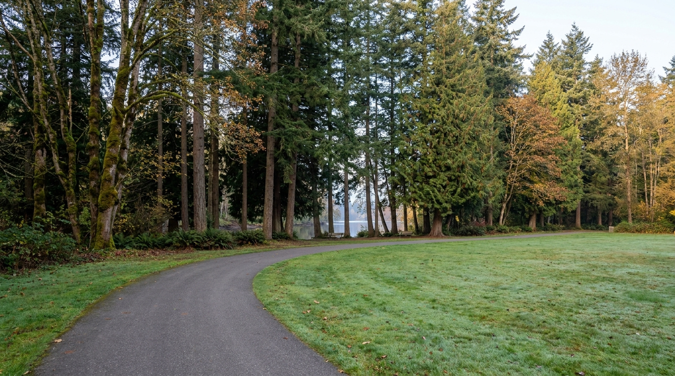
Buyer Resources July 8, 2026

Living in Kent West Hill, WA | 2026 Neighborhood Guide

Kent’s West Hill sits above the valley floor on the west side of the city, close enough to SeaTac and Des Moines that some days it feels like its own small town. The vibe here is Quiet Cul-de-Sac Community. Streets wind with the hillside instead of running in a grid, and most homes date back to the 1960s, built when this was one of the first areas outside the valley to develop. Buyers come here for the price. West Hill is one of the more affordable hillside neighborhoods left in King County, and in 2026 that still matters to people trying to buy their first home.

What is it actually like to live in Kent’s West Hill in 2026?

On a Tuesday morning around 7:30, West Hill is quiet in a way that feels older than the rest of Kent. The streets curve and dip with the terrain, so you rarely see more than a few houses at once. Garage doors open one at a time, cars ease down the hill toward Military Road, and most people are gone by 7:45. It is a shorter commute than East Hill, mostly because West Hill sits closer to the freeway and the light rail.

Weekends move slower. Saturday mornings bring families to West Fenwick Park for playground time, and Glenn Nelson Park fills up with pickleball games and kids on the shaded walking path. Some residents head down to Lake Fenwick for a quiet trail walk under the trees. Sunday is yard work and a stop at one of the small international markets in West Hill Plaza, since the neighborhood has a genuinely diverse mix of longtime residents and newer arrivals from all over the world.

Who lives here? A lot of first-time buyers priced out of Seattle, Burien, and the Eastside, along with longtime owners who bought their ranch homes decades ago and never left. West Hill has more rental turnover than East Hill, and the housing stock skews older and smaller. What sets it apart is the terrain and the price. You get real elevation and territorial glimpses toward the valley, at a price still noticeably lower than most of the rest of Kent.

West Fenwick Park playground and open field near West Hill, Washington
West Fenwick Park is a weekend gathering spot for West Hill families.

Homes in West Hill: What the Data Shows

West Hill’s housing stock is some of the oldest in Kent. The core of the neighborhood was built in the 1960s, mostly ranch-style and split-level homes on winding hillside streets, typically 1,100 to 1,900 square feet on modest lots. A handful of newer pockets exist too. The Riverview area has two-story single-family homes and condos built in the 1980s through 2000s in developments like The Terrace and River Ridge, plus gated communities such as The Pointe and The Meadows. There is also a small multifamily presence, including Westridge Townhomes from the mid-1980s. This is a more varied housing stock than East Hill’s, both in age and price, and that variety is a big part of why West Hill stays affordable.

Market Pulse West Hill (98032) King County
Median Sales Price (June 2026) ~$697,000 ~$998,000
Median Days on Market (June 2026) ~12 days ~10 days
Months Supply of Inventory (June 2026) 3.3 months 3.6 months

Figures are King County NWMLS-sourced data for June 2026, shown at the city level for Kent and county level for King County, since West Hill-specific figures are not broken out in the monthly feed. Treat this as a starting point, not an appraisal for any specific West Hill address.

Schools Serving West Hill

West Hill has its own feeder pipeline, different from East Hill’s. The neighborhood elementary school is River Ridge Elementary, opened in 2021 to relieve overcrowding at nearby schools. River Ridge is part of the Kent School District, though its official mailing address lists SeaTac, since West Hill sits right at the edge of the two cities. That is a mailing quirk, not a district change. From River Ridge, students move on to Meeker Middle School, also a Kent School District school despite carrying a Renton address for the same border-area reason. High schoolers head to Kent-Meridian High School, the district’s oldest and most centrally located campus. Always confirm your specific address with Kent School District before assuming, since boundary lines here have shifted more recently than in most of the district.

River Ridge Elementary is a newer building with modern classrooms, built to reduce crowding on the west side of the district. Meeker Middle School runs a Gifted and Talented program alongside Project Lead The Way, the same hands-on STEM curriculum offered at several other Kent schools. Kent-Meridian High School is the district’s founding high school, with a long-running athletics program and career and technical electives some of the newer Kent high schools do not offer.

Day to day, most West Hill elementary and middle schoolers are bused, since the hillside streets and lack of sidewalks in older sections make walking less practical than in flatter neighborhoods. High schoolers driving themselves to Kent-Meridian typically face a 10 to 15 minute drive down off the hill.

Getting to Work from West Hill

Take Military Road or Reith Road down off the hill to reach SR-99, then connect to I-5 north or south depending on your destination. West Hill’s biggest advantage over East Hill is the Kent Des Moines light rail station, just a short drive from most of the neighborhood, which puts a fast, traffic-free ride into downtown Seattle within reach without ever touching the freeway.

Destination Distance 2026 Drive Time (Peak AM) Transit Option
Downtown Seattle 20 miles 30 to 45 min Link Light Rail from Kent Des Moines
Bellevue / Amazon 21 miles 35 to 50 min I-5 to I-405
Microsoft (Redmond) 28 miles 45 to 60 min I-5 to SR-520
SeaTac Airport 6 miles 10 to 18 min SR-99 or Link Light Rail

1960s ranch-style home exterior typical of West Hill, Washington
A classic 1960s ranch home, the most common style in West Hill’s older core.

What I See as a Valuation Expert in West Hill

In West Hill, the age of the systems is the first thing that matters most for valuation. A lot of West Hill’s housing stock is now 60 years old, which means original plumbing, outdated electrical panels, and single-pane windows show up more often than on East Hill. None of that is a dealbreaker. It just means the price has to account for it, and buyers who skip a full inspection here are taking a real risk.

Lot size runs smaller on average than East Hill, and a lot of the older ranch homes sit without much usable yard because of the sloped terrain. HOA presence is spotty. Some newer Riverview developments like The Pointe and The Meadows have HOAs, while most of the 1960s core does not. Curb appeal and an updated kitchen matter more here than square footage, since buyers touring West Hill are often comparing it directly to similarly priced homes in Burien or Des Moines.

Homes closest to the light rail station and the flatter streets near West Hill Plaza tend to move first, especially with commuters who want to walk or bike to the train. Homes on the steepest hillside streets, or ones needing obvious system updates, sit longer and need to be priced with that in mind.

Explore West Hill Yourself

View West Hill on Google Maps →

Q: Is West Hill in Kent a good place to live?
A: For buyers who want an affordable entry point with light rail access and don’t mind an older housing stock, yes. It is one of the more budget-friendly hillside neighborhoods left in King County.

Q: What are homes like in West Hill?
A: Mostly 1960s ranch and split-level homes, 1,100 to 1,900 square feet, with a smaller share of newer 1980s through 2000s homes, condos, and townhomes in developments like Riverview.

Q: What schools serve West Hill?
A: Kent School District, typically River Ridge Elementary feeding into Meeker Middle School and then Kent-Meridian High School, though boundaries vary by address and should always be verified.

Q: How far is West Hill from Seattle?
A: About 20 miles, with a 30 to 45 minute peak commute, or faster by taking the Kent Des Moines light rail station straight into the city.

Your guide to life outside Seattle.

Gregory Dorrell | Coldwell Banker Bain | WA License #111862
253-350-0045  ·
greg@livingoutsideseattle.com  ·
www.livingoutsideseattle.com
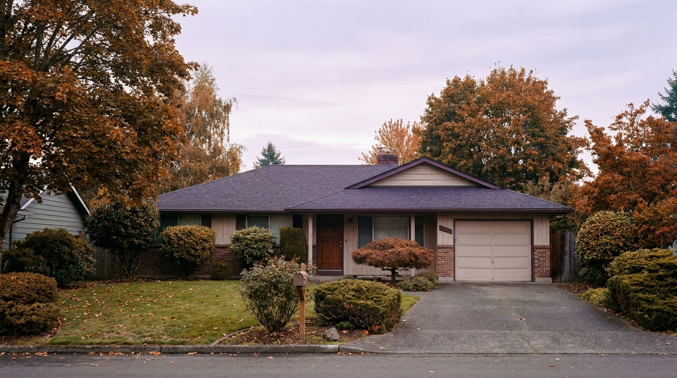
Buyer Resources July 7, 2026

Living in Kent East Hill, WA | 2026 Neighborhood Guide

If you are looking at Kent East Hill in 2026, you are looking at the neighborhood most Kent families end up in once they run the numbers. It sits on the plateau above the valley floor, which means better views and quieter streets than you get down near the industrial corridor. The vibe here is Family-First Established. Subdivisions from the 1980s, 90s, and 2000s sit next to newer infill, and almost every block has a mix of long-time owners and young buyers who just closed. Buyers come here for the same three reasons every time: good schools, real parks, and a price that still works.

What is it actually like to live in Kent East Hill in 2026?

On a Tuesday morning around 7:30, East Hill sounds like sprinklers and garage doors. Parents load kids into minivans headed to Meridian or Panther Lake Elementary, and you will see a steady line of cars merging onto 132nd Ave SE toward the freeway. It is not a rush. It is a routine. Most people here have their morning down to a science, coffee in hand, radio on, out the door by the same minute every day.

Weekends look different. Saturday mornings mean youth soccer and baseball at the fields near Kentwood High, and Lake Meridian fills up fast once the sun is out, with kids paddleboarding and dads grilling at the picnic shelters. Sunday is yard work, a trip to the East Hill Fred Meyer, and maybe a walk on the trail loop through Clark Lake Park a few minutes north. It is not a flashy neighborhood. It is a functional one, and that is exactly the point for the people who live here.

Who lives here? Mostly working families, a lot of them in healthcare, aerospace, logistics, or tech support roles based in Kent, Renton, or south Seattle. You will also find retirees who bought in the 1980s and never left, and a growing number of first-generation homeowners priced out of Renton or the Eastside. What separates East Hill from West Hill or the valley floor is elevation, both literal and in home condition. Fewer rentals, bigger lots on average, and a school pipeline families specifically move here to get into.

Lake Meridian Park shoreline and trail near Kent East Hill, Washington
Lake Meridian Park is the recreational anchor for East Hill families.

Homes in Kent East Hill: What the Data Shows

East Hill’s housing stock spans four decades. The oldest pockets date to the late 1970s and early 80s, with a heavy wave of construction through the 90s and into the 2000s, plus scattered newer infill on the last available lots. Most detached homes run 1,600 to 3,200 square feet on lots between 5,000 and 9,000 square feet, though a handful of larger custom builds near Lake Meridian sit on bigger parcels. You will see a mix of split-level, two-story traditional, and daylight-basement layouts that take advantage of the plateau’s gentle slope. Builders like Quadrant and Polygon put up several of the larger 1990s and 2000s subdivisions, and quality is generally solid, though older homes need the usual roof, furnace, and window checks. Townhomes and a handful of small condo clusters exist near 104th Ave SE, but this is overwhelmingly a single-family, detached-home neighborhood.

Market Pulse Kent East Hill (98042) King County
Median Sales Price ~$700,000 ~$859,000
Median Days on Market ~35 days ~28 days
Active Listings Change (vs. Jan 2026) +25% +30%

Figures reflect King County NWMLS-sourced data as of mid-2026 and East Hill’s 98042 ZIP code. Individual streets and school assignments can shift these numbers, so treat this as a starting point, not an appraisal.

Schools Serving Kent East Hill

Kent East Hill sits inside the Kent School District, and the standard elementary feeders are Meridian, Lake Youngs, and Panther Lake, though boundaries shift block by block. Both Meridian and Panther Lake feed into Meridian Middle School, which then feeds into Kentwood High School. Kentwood’s building address is technically in Covington, just south of the East Hill boundary, but it is the district high school most East Hill families are zoned into. Always confirm your specific address with the district before assuming, since Kent School District has redrawn elementary lines more than once in the past few years.

Meridian Elementary runs a Gifted and Talented program and has a solid academic reputation within the district. Meridian Middle School layers on Project Lead The Way, a hands-on STEM curriculum that gets kids working with engineering and design concepts before high school. Kentwood High offers AP coursework and has earned multiple College Success Awards in recent years for how well it prepares graduates for college, with a graduation rate around 96%.

Day to day, most East Hill elementary kids are bused or driven a short distance, since the neighborhood’s terrain and arterial layout make walking to school less common than in denser areas. Middle schoolers typically ride the district bus to Meridian Middle. High schoolers either drive themselves, carpool, or take the bus down to Kentwood, which for most East Hill addresses is a 10 to 15 minute ride.

Getting to Work from Kent East Hill

Take 132nd Ave SE or 104th Ave SE down off the plateau to reach SR-516, then connect to SR-167 north toward Renton and I-405, or south toward Auburn. If you are headed into Seattle, most East Hill residents drive down to the Kent Sounder Station or the Kent Park-and-Ride for Sound Transit express bus service, both roughly 10 to 15 minutes away depending on which part of East Hill you are in.

Destination Distance 2026 Drive Time (Peak AM) Transit Option
Downtown Seattle 27 miles 45 to 65 min Sounder Train / I-5
Bellevue / Amazon 19 miles 30 to 45 min SR-167 to I-405
Microsoft (Redmond) 26 miles 40 to 55 min SR-167 to SR-520
SeaTac Airport 13 miles 18 to 28 min SR-167 to I-5

Two-story 1990s home exterior typical of Kent East Hill, Washington
A typical two-story East Hill home from the neighborhood’s 1990s and 2000s building wave.

What I See as a Valuation Expert in Kent East Hill

In East Hill, the roof, the furnace, and the windows are the first three things that matter most for valuation. East Hill’s housing stock is old enough now that a lot of original systems are at or past their service life. A 1985 roof on a home that has never been re-shingled tells me the seller either has not budgeted for it or is hoping the buyer will not notice. Buyers should ask for the roof’s install date on every showing.

Lot size and orientation matter more here than in newer subdivisions elsewhere in Kent, because East Hill lots vary widely, from tight 5,000 square foot parcels to nearly 9,000 square feet with real yard space. HOA-governed pockets exist but are not universal, and where they do exist they are usually low-fee and low-friction. Curb appeal swings value more on East Hill than in the valley, since buyers touring this area are often cross-shopping with Covington and Maple Valley and expect a certain look.

The streets and pockets closest to Lake Meridian Park move first and hold value best. Homes on quiet interior streets with larger lots and updated kitchens are the ones that get multiple looks in the first weekend. Anything backing to 104th Ave SE or facing heavy through-traffic tends to sit longer and needs to be priced accordingly.

Explore Kent East Hill Yourself

View Kent East Hill on Google Maps →

Q: Is Kent East Hill a good place to live?
A: If you want established schools, a real park system, and a price point under the King County median, yes. It is a practical, family-first neighborhood rather than a trendy one.

Q: What are homes like in Kent East Hill?
A: Mostly detached single-family homes from the 1980s through 2000s, running 1,600 to 3,200 square feet on lots between 5,000 and 9,000 square feet, with a mix of split-level and two-story layouts.

Q: What schools serve Kent East Hill?
A: Kent School District, typically Meridian, Lake Youngs, or Panther Lake Elementary feeding into Meridian Middle School and then Kentwood High School, though boundaries vary by address.

Q: How far is Kent East Hill from Seattle?
A: About 27 miles, with a 45 to 65 minute peak commute by car, or a shorter ride if you drive to the Kent Sounder Station and take the train in.

Your guide to life outside Seattle.

Gregory Dorrell | Coldwell Banker Bain | WA License #111862
253-350-0045  ·
greg@livingoutsideseattle.com  ·
www.livingoutsideseattle.com
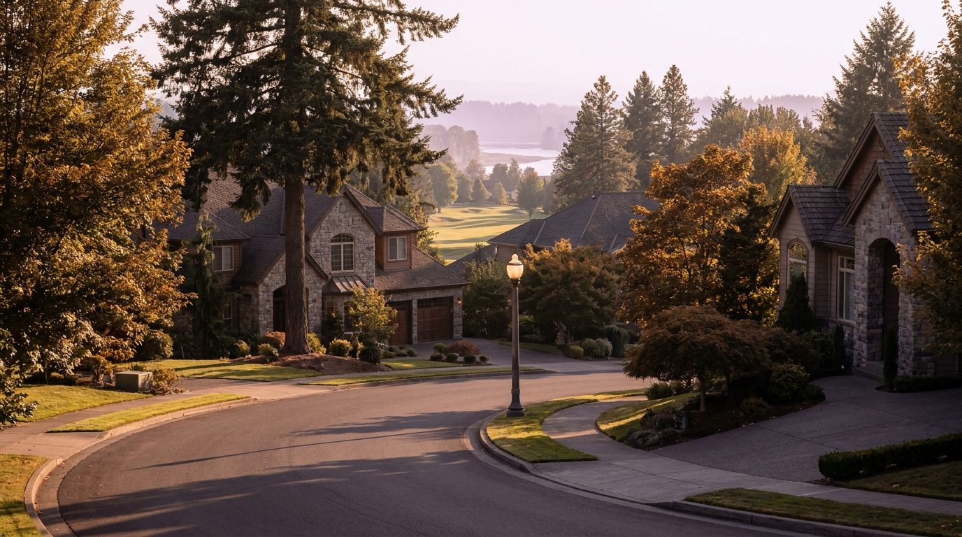
EastsideKing County CitiesSammamishUncategorized July 7, 2026

Plateau Communities, Sammamish WA | 2026 Guide

When people say they’re looking at Sammamish, they’re often looking at what falls under the “Plateau Communities” umbrella — the mix of established and more recently developed neighborhoods across the city’s interior plateau that don’t have the specific defining feature of a lake view, a golf course, or a ridgeline. This is the broadest category in Sammamish real estate and also the most varied. Price ranges here span from the mid-$800s for original ranch-style homes to over $1.5M for newer construction on larger lots. Schools are split between Issaquah School District and Lake Washington School District depending on your address — and that split is not intuitive from a map. If you’re buying in this part of Sammamish, the address-level school verification is mandatory.

What is it actually like to live in Plateau Communities in 2026?

The plateau interior is Sammamish’s most family-oriented environment. The city’s extensive trail network — 45-plus miles at last count — connects most plateau neighborhoods to parks, open space, and ultimately to the East Lake Sammamish Trail along the water. Kids ride bikes to friends’ houses on connected paths. The parks are maintained well and used heavily on weekends. The pace here is genuinely suburban in the best sense — quiet streets, neighbors who know each other, schools that feed consistent cohorts of families from the same neighborhoods.

The variation within this category is significant. Original Sammamish homes from the 1970s through early 1990s tend toward ranch and split-level styles on larger lots with mature trees — they’re often the entry point into Sammamish homeownership, and buyers who move into them typically update over time. Communities built in the late 1990s through 2010s have more contemporary designs on smaller lots but newer infrastructure. Communities built in the 2010s and 2020s are the most turnkey but also the most densely sited. The decade of construction tells a lot of the story about what to expect.

Who lives here? The full demographic range of Sammamish. First-time buyers, growing families, established households who moved here for the schools and stayed for the community. Tech workers from Microsoft, Amazon, and the broader Bellevue-Redmond corridor who want the Sammamish quality of life without a lake view premium. Parents who researched school districts before they chose a neighborhood and made a deliberate district-driven decision about their address.

Wide paved community trail curving through open park space in an established Sammamish Washington plateau neighborhood with ornamental trees in autumn color, mature Douglas fir at the forest edge, and Cascade foothills softly visible in the background
Sammamish maintains over 45 miles of city trails connecting plateau neighborhoods to parks, open space, and the East Lake Sammamish Trail along the water. For residents in plateau interior neighborhoods, the trail network is the primary recreational infrastructure — and it’s genuinely well used.

Homes in Plateau Communities: What the Data Shows

The price range within this category is the widest in Sammamish. Original stock from the 1970s and 1980s on larger lots can come in under $1M. Quality production homes from the 2000s on standard lots typically trade in the $1M to $1.35M range. Newer communities with contemporary designs and higher finish levels start around $1.35M and move up from there. What drives the variation: decade of construction, lot size, update level, school district, and proximity to parks and trails. At any price point, the same variables apply — the numbers just shift.

Metric Plateau Communities (98074 / 98075) King County
Median Sales Price (May 2026) ~$1,075,000 ~$859,000
Median Days on Market ~26 days ~28 days
Active Listings Change (vs. Jan 2026) +28% +30%

Plateau interior communities span a wide price range depending on age, lot size, school district, and update level. The median shown reflects the broad middle of this category. Verify current inventory with a licensed REALTOR.

This is the section that matters most for families buying in the plateau interior. Sammamish is split between Issaquah School District and Lake Washington School District, and the boundary does not follow logical geographic lines. Two homes on the same block can feed into different districts. This is not a detail to check after you’ve found a home you want — it’s a filter to apply before you start touring.

Issaquah School District (ISD) — Most of South and Central Sammamish

Most plateau interior addresses feed into one of the following Issaquah SD pipelines. The most common for central and south Sammamish:

Pipeline A: Sunny Hills Elementary → Pine Lake Middle → Skyline High

Pipeline B: Endeavour Elementary → Pine Lake Middle → Skyline High

Lake Washington School District (LWSD) — North Sammamish and Parts of Central Plateau

Northern plateau addresses and some central Sammamish addresses feed into Lake Washington SD instead of Issaquah. The most common LWSD pipeline in Sammamish:

Pipeline: Alcott Elementary → Inglewood Middle → Eastlake High

⚠ Always Verify Your Specific Address

Do not rely on a general neighborhood description or a map to determine your school district. Use the official district boundary lookup tools before writing an offer. Both ISD and LWSD provide free address lookup on their websites.

Getting to Work from Plateau Communities

Commute times from the plateau interior are reasonably consistent across most addresses because Sammamish’s road network funnels traffic to a limited number of exits from the plateau — primarily NE 8th Street toward I-90, and Redmond-Fall City Road toward Redmond and SR-520. Most plateau communities are within 5 to 10 minutes of one of these two main corridors. What varies is whether you hit the same bottleneck points as the rest of Sammamish at peak hours, which you do.

Destination Distance 2026 Drive (Peak AM) Route
Downtown Seattle 23 miles 35 to 55 min I-90 West
Bellevue / Amazon 14 miles 20 to 35 min I-90 / I-405
Microsoft (Redmond) 10 miles 15 to 28 min Redmond-Fall City Rd / 2 Line
SeaTac Airport 27 miles 38 to 55 min I-90 / I-405 / I-5
Quality two-story craftsman Pacific Northwest home exterior in an established Sammamish Washington plateau neighborhood with well-maintained siding, covered front entry, mature evergreen foundation plantings, and generous lot with HOA-maintained streetscape
The plateau interior contains homes from multiple eras — original ranches and split-levels on larger lots, quality production builds from the 1990s and 2000s, and newer construction from the 2010s and 2020s. The decade of construction tells a lot of the story about what to expect in terms of lot size, finishes, and maintenance cycle.

What I See as a Valuation Expert in Plateau Communities

Plateau interior is where I spend the most time doing appraisal and BPO work in Sammamish because the comp pool is deepest here. The broad range of home ages and styles means I can find meaningful data for almost any subject property, but it also means that context matters enormously. A 1985 ranch on a 12,000 square foot lot and a 2008 two-story on an 8,000 square foot lot are not interchangeable comps even if their list prices overlap. I’m always building a custom story for each property rather than running a simple bracket adjustment.

The variables that matter most within the plateau interior: school district assignment (ISD vs. LWSD is a genuine price differential — buyers pay to be in one district over the other depending on their family’s priorities), proximity to the trail network and parks, lot size relative to neighborhood norms, and update level. Kitchen and bath updates still move the needle meaningfully here. A home with a current kitchen in the $950K-$1.2M range will see significantly faster sale time and stronger offers than a comparable footprint with a 2003 original kitchen.

Valuation Insight

“School district assignment is worth real money in the plateau interior — I’ve tracked the ISD vs. LWSD differential at $40,000 to $80,000 on comparable properties at similar price points, depending on which district the buyer’s family is targeting. Confirm the district before you fall in love with the house.”

10-Year Lens

The plateau interior has the deepest, most liquid market in Sammamish. It will continue to attract the broadest buyer demographic — families for the schools, tech workers for the commute, move-up buyers for the lot sizes — which provides strong demand support across market cycles. The biggest medium-term driver here is the City of Sammamish’s ongoing trail and park investments, which have consistently improved the livability argument for interior neighborhoods.

Honest counter-risk: Traffic congestion remains Sammamish’s most cited negative. Plateau Road and NE 8th Street are the main arteries and they are not getting less busy. If your household depends on consistent early-morning commutes, build in actual test-drive time before deciding on a specific address.

Frequently Asked Questions About Plateau Communities

Q: How do I know which school district I’m in?
A: Use the address lookup tool on the Issaquah School District website (issaquah.wednet.edu) and the Lake Washington School District website (lwsd.org). Do this for every address you’re seriously considering before writing an offer — district boundaries in Sammamish are not intuitive.

Q: What’s the price range for plateau interior homes?
A: Wide — from the mid-$800s for original 1970s-1980s ranches on large lots to over $1.5M for newer construction with updated finishes. The median for this category is approximately $1.075M as of mid-2026, but the meaningful number is the specific tier you’re buying in, not the broad average.

Q: Is the school district assignment worth paying a premium for?
A: For families with school-age children who have done their district research, yes — I’ve tracked the ISD vs. LWSD premium at $40,000 to $80,000 on comparable properties. Which district carries the premium depends on which one the buyer is targeting. Both are strong districts.

Q: What are the biggest value drivers within plateau interior neighborhoods?
A: School district, lot size, trail and park access, and update level. In that order for most buyer profiles. A well-updated kitchen and bath will move you to the top of the market for your tier. Deferred maintenance and dated finishes will keep you sitting.

Explore Plateau Communities Yourself

The Sammamish trail system is the best starting point for understanding the plateau interior. Download the city trail map from the City of Sammamish website and plan a drive or walk through the neighborhoods you’re considering. The difference between a neighborhood with direct trail access and one that requires driving to a trailhead is noticeable in daily life.

Bigger Picture

Want the full Sammamish story?

Compare neighborhoods, commute times, school districts, and what’s driving the 2026 market.

Read the Full 2026 Sammamish Living Guide →

Your guide to life outside Seattle.

Gregory Dorrell | Coldwell Banker Bain | WA License #111862
253-350-0045 · greg@livingoutsideseattle.com · www.livingoutsideseattle.com
King County NeighborhoodsSammamish July 5, 2026

Living in Aldarra, Sammamish WA | 2026 Guide

Aldarra is one of Sammamish’s most intentionally designed neighborhoods. Built out mostly in the 2000s, it was planned from the start to balance generous lot sizes with meaningful community open space — and that planning shows. The neighborhood has a cohesive feel that many Sammamish communities lack, with maintained green space woven between the homes rather than tucked away as an afterthought. If you’re looking for an upscale Sammamish address where the community design was taken seriously, Aldarra is on the short list to consider.

What is it actually like to live in Aldarra in 2026?

Aldarra has a quieter, more established character than neighborhoods that were still building out in the late 2010s. The lots are large by Sammamish standards — many run 10,000 to 15,000 square feet — and the homes were built with the kind of setbacks and landscaping buffers that give the streetscape a sense of scale. Morning walks through the community trail network feel genuinely unhurried because the paths wind through maintained open space rather than cutting along property lines.

The HOA in Aldarra is active and the community shows it. Common areas are well maintained. The trail network is kept in good condition. This is not an HOA that exists only on paper — residents cite the consistent maintenance standards as a significant part of why they chose Aldarra over comparable neighborhoods. That consistency also supports property values because buyers entering the community see immediately that the environment has been cared for.

Who lives in Aldarra? The buyer profile skews toward established families and move-up buyers who have already lived on the Sammamish plateau or the Eastside and know exactly what they want in a second or third home purchase. Tech executives, senior professionals, and buyers relocating from Bellevue neighborhoods who want more lot size and a quieter pace without giving up the Eastside location. It’s a deliberate choice, not a starter neighborhood.

Wide paved community trail winding through open maintained green space in Aldarra neighborhood Sammamish Washington with ornamental trees in autumn color and mature Douglas fir at the forest edge
Aldarra’s trail network threads through community open space rather than running along property fences. The maintained green space is a planned feature of the original community design, not an add-on — and a significant part of what buyers pay for here.

Homes in Aldarra: What the Data Shows

Homes in Aldarra were built primarily between 2000 and 2010, with most running between 3,000 and 5,000 square feet. These are not custom homes in the Sahalee sense — many were built by quality production builders on individual lots — but the construction standards are above the Sammamish average and the lot sizes provide a sense of space that is noticeably different from denser plateau neighborhoods. The community has reached a phase where the original landscaping has matured, which adds to both the aesthetic quality and the actual property values.

Metric Aldarra (98075) King County
Median Sales Price (May 2026) ~$1,525,000 ~$859,000
Median Days on Market ~28 days ~28 days
Active Listings Change (vs. Jan 2026) +22% +30%

Aldarra trades at a significant premium over the King County median, supported by lot size, build quality, community design, and the Issaquah School District pipeline. Verify current inventory with a licensed REALTOR.

Search Active Aldarra Listings

Updated daily from the MLS. No account required.

Schools Serving Aldarra

Aldarra feeds into Issaquah School District. Most addresses run through Sunny Hills Elementary, Pine Lake Middle School, and Skyline High School. This is a consistent Issaquah SD pipeline that runs across several established Sammamish neighborhoods and is one of the reasons buyers prioritize the south and central plateau areas when school district matters. Skyline High School is one of the larger ISD high schools with a strong college prep track and a broad course catalog. At Aldarra’s price point, buyers will typically be comparing ISD favorably with Bellevue and Lake Washington districts — the outcomes and resources are competitive.

Verify the Schools Yourself

Always verify your specific address with Issaquah School District before writing an offer.

Getting to Work from Aldarra

Aldarra sits in the south-central portion of Sammamish, with the best route to Bellevue and Seattle running via SE 8th Street to Issaquah-Hobart Road, then connecting to I-90 or SR-900. For Microsoft’s Redmond campus, the most direct path goes north through Sammamish and out via Redmond-Fall City Road. The commute times from Aldarra are representative of the broader south Sammamish experience — competitive for Bellevue and Issaquah, slightly longer for downtown Seattle.

Destination Distance 2026 Drive (Peak AM) Route
Downtown Seattle 25 miles 40 to 58 min I-90 West
Bellevue / Amazon 15 miles 22 to 38 min I-90 / I-405
Microsoft (Redmond) 12 miles 18 to 30 min Redmond-Fall City Rd / 2 Line
SeaTac Airport 28 miles 40 to 55 min I-90 / I-405 / I-5
Large custom Pacific Northwest luxury home exterior in Aldarra neighborhood Sammamish Washington with upscale 2000s construction, high-quality stone veneer and cedar details, three-car garage, and mature evergreen landscaping on a generous lot
Aldarra homes were built mostly between 2000 and 2010, with generous lot sizes and construction quality that sits above the Sammamish average. The original landscaping has now matured, adding to the neighborhood’s established character.

What I See as a Valuation Expert in Aldarra

Aldarra is one of the most consistently valued Sammamish neighborhoods I work in. The comp pool is deep enough to support clean appraisals, the community’s cohesive design keeps the environmental quality stable, and the buyer demographic is experienced enough that the market here tends to be less speculative than some of the plateau’s more recently developed areas. When I’m pricing a listing in Aldarra, I’m not hunting for outlier comps — I can find meaningful data points consistently.

What moves the needle within Aldarra: lot size and position relative to the community open space and trail network are the biggest premium drivers. A home that backs directly onto maintained open space — no rear neighbor, trail access out the back gate — will consistently command a premium over a comparable home on a standard interior lot. I’ve tracked that premium at $75,000 to $125,000 depending on the depth and quality of the open space exposure. The other major driver is update quality. Aldarra buyers are comparing against new construction alternatives in nearby communities and they expect kitchens and baths to be current. Homes with dated finishes from the original build sit longer and negotiate more than the market average.

Valuation Insight

“Aldarra lots that back directly onto community open space sell for $75,000 to $125,000 above comparable interior lots on the same street. That open-space adjacency is permanent and can’t be built out — it’s the one Aldarra variable I’d pay a premium for without hesitation.”

10-Year Lens

Aldarra’s fundamentals are strong for the medium and long term. The Issaquah SD pipeline, the community design quality, the large lots, and the location between Bellevue and Issaquah all support continued demand. As the plateau’s newer communities develop and mature, Aldarra’s established character will be more, not less, valuable to the buyer segment it serves.

Honest counter-risk: Homes built in 2000–2010 are entering the window where mechanical systems — HVAC, roofing, windows, water heaters — are approaching or at end of useful life. At Aldarra’s price point, buyers expect everything to be current. Pre-listing inspections and proactive replacement of aging systems will generate better outcomes than hoping buyers don’t flag them in their own inspection.

Frequently Asked Questions About Aldarra

Q: What makes Aldarra different from other Sammamish neighborhoods?
A: The planned community design — specifically the integrated open space and trail network — distinguishes it from most Sammamish HOA neighborhoods. The green space was designed in from the start, not added afterward, and the HOA actively maintains it. Combined with larger-than-average lots and 2000s build quality, it creates a noticeably different environment.

Q: What schools serve Aldarra?
A: Issaquah School District. Most addresses feed into Sunny Hills Elementary, Pine Lake Middle School, and Skyline High School. Verify your specific address with the district before writing an offer.

Q: What are home prices like in Aldarra?
A: Median sale price runs around $1.525M as of mid-2026. Open-space-backing lots command premiums of $75,000 to $125,000 over comparable interior lots.

Q: Does Aldarra have trail access to East Lake Sammamish Trail?
A: The community trail network connects to access points that link to the East Lake Sammamish Trail, giving residents a path to the 11-mile lakeside route without driving. This is one of the neighborhood’s genuine lifestyle advantages.

Explore Aldarra Yourself

The best way to understand Aldarra is to walk the interior trail network on a weekday morning. The open space design, the mature landscaping, and the pace of the community will tell you quickly whether this is the right fit for what you’re looking for.

Bigger Picture

Want the full Sammamish story?

Compare neighborhoods, commute times, school districts, and what’s driving the 2026 market.

Read the Full 2026 Sammamish Living Guide →

Your guide to life outside Seattle.

Gregory Dorrell | Coldwell Banker Bain | WA License #111862
253-350-0045 · greg@livingoutsideseattle.com · www.livingoutsideseattle.com
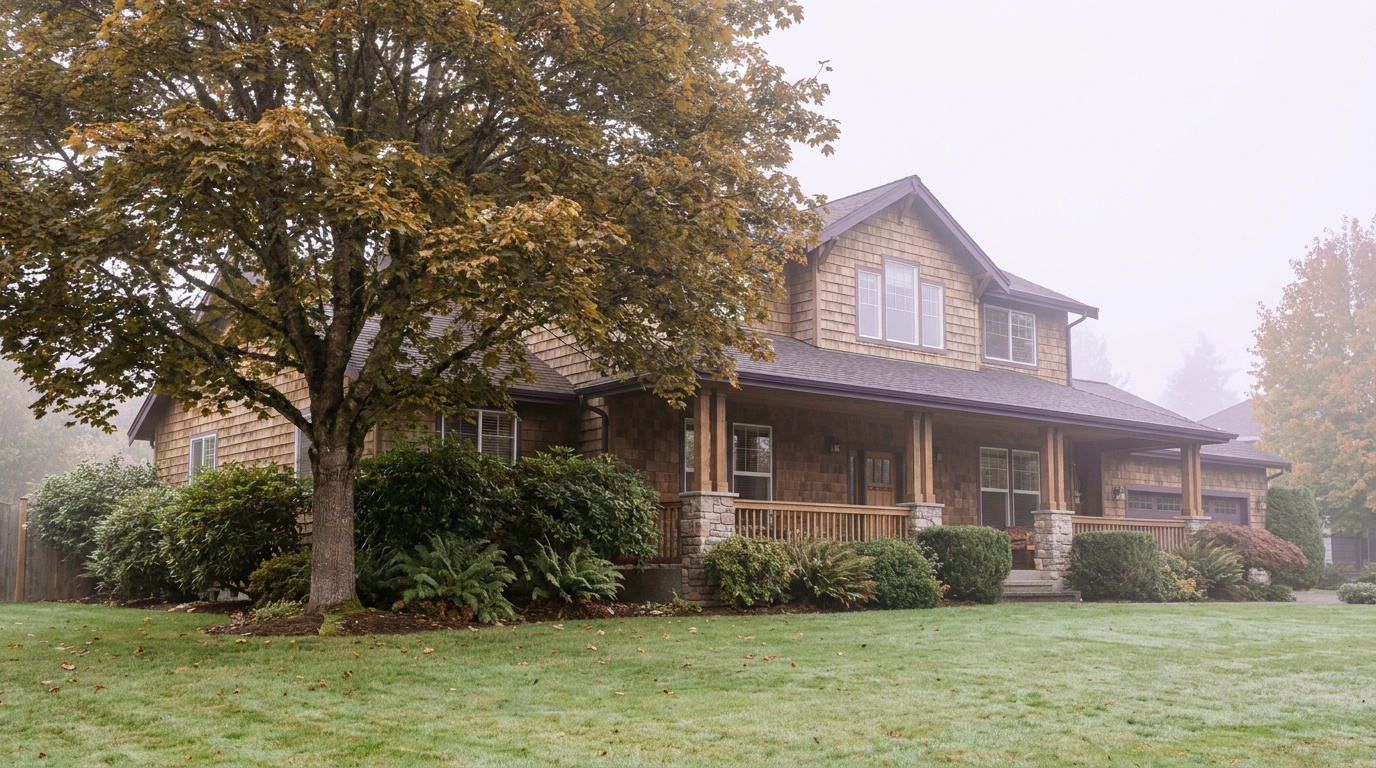
EastsideKing County CitiesSammamish July 4, 2026

Living in Sahalee, Sammamish WA | 2026 Guide

Sahalee is the only neighborhood in Sammamish built around a world-class golf course. Sahalee Country Club has hosted the PGA Championship, the US Senior Open, and multiple WGC events. That’s not the reason people live here — the golf course is a private club with its own membership structure separate from living in the community — but it shapes the entire character of the neighborhood. The course’s old-growth Douglas fir and western red cedar create a natural environment that is simply not found in any other Sammamish neighborhood. Homes here are custom-built, larger than the Sammamish average, and priced accordingly. This is the highest-end address on the plateau.

What is it actually like to live in Sahalee in 2026?

Sahalee is a gated community, and it has the privacy that comes with that structure. The roads inside are calm. The lots are generous. There’s no through traffic because there’s nowhere to go through to. Most homes here were custom-designed and built between the late 1990s and mid-2000s, and the quality of construction is notably higher than the standard Sammamish HOA neighborhood. You’re looking at stone, real wood, serious architectural detail, and homes that were built to a standard, not to a price point.

The Sahalee Country Club membership is a separate transaction from buying a home here. Not every resident is a member, though many are. The course’s old-growth tree canopy surrounds much of the community and creates a forest environment unlike anything else in Sammamish. You’re essentially living in a forest neighborhood that happens to have a championship golf course threaded through it. On weekend mornings, the community paths are quiet, the trees are dense, and the contrast with the busier plateau neighborhoods is immediate.

Who lives here? Senior tech executives and partners who have moved up from Bellevue or Kirkland neighborhoods. Buyers who specifically want the gated privacy and custom construction quality that Sahalee’s lot sizes and build standards deliver. Golf club members who chose their neighborhood to match their recreational life. It skews toward established buyers — people who have done the plateau research and decided this is the address they want.

Manicured fairway at Sahalee Country Club in Sammamish, Washington with towering old-growth Douglas fir and western red cedar forming a natural forest cathedral around the golf hole
Sahalee Country Club has hosted the PGA Championship and multiple WGC events. The old-growth Douglas fir corridor surrounding the course defines the neighborhood’s environment — there is no comparable tree canopy anywhere else in Sammamish.

Homes in Sahalee: What the Data Shows

Sahalee homes are custom builds on large lots, most constructed between 1998 and 2007. Square footage typically runs from 3,200 to over 6,000 square feet. These are not production homes — they were designed individually, built with higher-than-standard material quality, and sited to work with the course environment. The number of homes within the community is limited by design, which keeps supply constrained and supports value even in softer broader markets. When Sahalee homes sell, they take longer on average than the Sammamish median because the buyer pool is smaller and more deliberate. That’s a feature, not a problem.

Metric Sahalee (98074) King County
Median Sales Price (May 2026) ~$2,100,000 ~$859,000
Median Days on Market ~45 days ~28 days
Active Listings Change (vs. Jan 2026) +15% +30%

Sahalee’s limited inventory and constrained supply keep prices well above Sammamish averages. Course-adjacent and course-view lots command the strongest premiums. Verify current inventory with a licensed REALTOR.

Search Active Sahalee Listings

Updated daily from the MLS. No account required.

Schools Serving Sahalee

Sahalee feeds into Issaquah School District. Most addresses in the community go through Sunny Hills Elementary, Pine Lake Middle School, and Skyline High School. This is the same strong Issaquah pipeline that serves Trossachs and several other established Sammamish neighborhoods. Skyline High School is one of the larger Issaquah District high schools with a broad course catalog and strong college placement. For buyers at Sahalee’s price point who are comparing schools across Eastside districts, Issaquah SD competes very favorably with Bellevue and Lake Washington districts on academic outcomes.

Verify the Schools Yourself

Always verify your specific address with Issaquah School District before writing an offer.

Getting to Work from Sahalee

Sahalee sits in the north-central part of Sammamish, which gives it reasonable access to multiple route options. NE 228th Street connects west to Redmond-Fall City Road for the Microsoft Redmond campus — one of the shorter commutes in the Sammamish market. For Seattle and Bellevue, the drive goes south to NE 8th Street and connects to the plateau’s main arteries west toward I-90 or north toward SR-520. At Sahalee’s price point, most buyers are evaluating private or hybrid commute patterns, but the infrastructure supports any standard route.

Destination Distance 2026 Drive (Peak AM) Transit Option
Downtown Seattle 22 miles 38 to 55 min I-90 West / SR-520 West
Bellevue / Amazon 14 miles 20 to 35 min SR-520 / I-405
Microsoft (Redmond) 8 miles 14 to 22 min Redmond-Fall City Rd / 2 Line
SeaTac Airport 29 miles 40 to 60 min I-90 / I-405 / I-5
Custom Pacific Northwest luxury home exterior in the Sahalee gated community of Sammamish, Washington with high-quality stone and cedar details, mature evergreen landscaping, and upscale streetscape
Sahalee homes are custom-designed and individually built, most dating to 1998 through 2007. The construction quality here is materially above the Sammamish standard — stone, real cedar, serious architectural detail, and generous lot sizes throughout.

What I See as a Valuation Expert in Sahalee

Sahalee is one of the most defensible value positions in Sammamish and among the most complex to appraise. The comparable sales pool is small, the price range wide within the community, and the subject-specific variables — lot position relative to the course, view exposure, build quality — are enormous. I approach every Sahalee assignment expecting that no two properties will trade on the same logic. A course-adjacent lot with a fairway view and a fully updated interior operates in a completely different price tier than a back-of-community lot with a standard build quality, even at the same square footage.

What holds value consistently here: course adjacency, the tree canopy environment, and homes that have had thoughtful updates that match the original construction quality. The buyers at this price point are not easily impressed by standard renovation packages — they’re comparing against custom construction options in Bellevue and Kirkland. Sahalee homes that have been maintained and updated at a level that matches their original quality compete well. Homes that have been partially updated with builder-grade finishes in a custom-build shell are actually harder to sell here than in lower-priced Sammamish neighborhoods.

Valuation Insight

“Sahalee’s limited inventory is one of its best long-term value arguments. You can’t build another Sahalee — the course footprint, the old-growth trees, and the gated community infrastructure are fixed assets that no new Sammamish development can replicate.”

10-Year Lens

Sahalee’s value will continue to be anchored by scarcity and the permanence of its defining assets. The golf course, the old-growth forest corridor, and the gated privacy are not replicable. As Sammamish’s plateau builds out and neighborhood character becomes more homogeneous elsewhere, Sahalee becomes more distinct, not less. Well-maintained properties here should see strong demand from established buyers who have already moved through the broader Eastside market and are looking for the definitive address.

Honest counter-risk: The custom build age (late 1990s to mid-2000s) means mechanicals and systems are approaching major replacement cycles on many homes. At Sahalee’s price point, buyers expect everything to be at the highest standard — deferred maintenance here is more expensive to correct than anywhere else in Sammamish.

Frequently Asked Questions About Sahalee

Q: Do you have to be a Sahalee Country Club member to live there?
A: No. Club membership is a separate transaction from buying a home in the community. Many residents are members and many are not. Living within the gates does not guarantee or require club access.

Q: What schools serve Sahalee?
A: Issaquah School District. Most addresses feed into Sunny Hills Elementary, Pine Lake Middle School, and Skyline High School. Verify your specific address with the district before writing an offer.

Q: What are home prices like in Sahalee?
A: Median sale price runs around $2.1M as of mid-2026. Course-adjacent and course-view properties command a meaningful premium above the community median. Homes tend to take longer to sell here because the buyer pool is smaller and more deliberate.

Q: Is Sahalee gated?
A: Yes. Sahalee is a gated community with controlled access. This contributes significantly to the privacy and quiet character that distinguishes it from other Sammamish neighborhoods.

Explore Sahalee Yourself

The best way to understand the Sahalee environment is to drive NE 228th Street along the course perimeter on a clear morning and see the old-growth tree corridor firsthand. You’ll understand immediately why this is a different category of Sammamish neighborhood.

Bigger Picture

Want the full Sammamish story?

Compare neighborhoods, commute times, school districts, and what’s driving the 2026 market.

Read the Full 2026 Sammamish Living Guide →

Your guide to life outside Seattle.

Gregory Dorrell | Coldwell Banker Bain | WA License #111862
253-350-0045 · greg@livingoutsideseattle.com · www.livingoutsideseattle.com
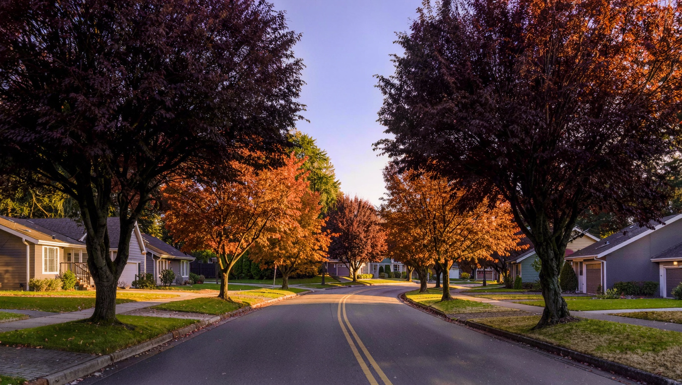
EastsideKing County CitiesSammamish July 1, 2026

East Lake Sammamish Parkway, Sammamish WA | 2026

East Lake Sammamish Parkway is a different kind of Sammamish address. Most of the city sits up on the plateau interior, away from the water. The Parkway runs along the eastern shoreline of Lake Sammamish itself, and the homes here — on the hillside above the road — sit in a position that the rest of Sammamish simply cannot offer: direct proximity to a 2,600-acre lake, the East Lake Sammamish Trail running right along the water’s edge, and the kind of views that make people who didn’t know this corridor existed kick themselves for not looking sooner. This is Issaquah School District territory, and the price point reflects everything the location delivers.

What is it actually like to live on East Lake Sammamish Parkway in 2026?

Morning on the Parkway has a specific quality to it. You can walk or cycle down to the trail before most of Sammamish has left the house. The trail runs flat along the water and connects north toward Redmond and south toward Issaquah — for cycling commuters, it’s an actual route to work, not just a recreational loop. Kayakers launch from access points along the shore. On summer mornings the lake picks up early, and by 8 AM there are already paddlers out on the water. This is a lifestyle that plateau interior neighborhoods approximate with parks and paths. The Parkway delivers the actual thing.

The homes sit on the hillside above the road, many at elevations that give them lake views across the water. The lots are generally larger than plateau interior Sammamish, and the construction runs from the 1980s through mid-2000s — a wide range, which means the market here has both older homes that require significant investment and updated homes that compete directly with new construction on lifestyle appeal. The neighborhood character is quieter and more private than the busier plateau communities; the Parkway road itself handles through traffic, but the residential streets are calm.

Buyers who end up here are often people who looked at the plateau interior, did the numbers, and decided the lake proximity was worth the premium. Tech workers from Microsoft and Amazon who run or cycle the trail before work. Buyers who want to raise kids next to a functioning outdoor environment rather than a managed park. Move-up buyers from Seattle and Bellevue who want the definitive Eastside outdoor lifestyle address.

Paved East Lake Sammamish Trail running along the eastern shoreline of Lake Sammamish in Washington with calm lake water to the left and dense Pacific Northwest forest to the right
The East Lake Sammamish Trail runs 11 miles along the lake’s eastern shoreline, accessible directly from the Parkway corridor. For residents here, it’s not a destination — it’s the front door.

Homes on East Lake Sammamish Parkway: What the Data Shows

The housing stock along the Parkway corridor is the most varied in Sammamish by age and type. You have 1980s ranch-style homes that have been fully renovated sitting next to 2000s custom builds that were designed specifically to capture lake views. Lot sizes run larger than most Sammamish neighborhoods, often a half acre or more. The price range is correspondingly wide — entry-level Parkway properties with limited lake exposure start lower than comparable plateau homes, while lake-view properties with updated interiors are among the highest-priced single-family homes in Sammamish overall.

Metric ELSP Corridor (98074 / 98075) King County
Median Sales Price (May 2026) ~$1,350,000 ~$859,000
Median Days on Market ~28 days ~28 days
Active Listings Change (vs. Jan 2026) +22% +30%

Price range on the Parkway is wide — lake-view properties with updated interiors trade well above the median. Verify current inventory with a licensed REALTOR.

Search Active East Lake Sammamish Parkway Listings

Updated daily from the MLS. No account required.

Schools Serving East Lake Sammamish Parkway

The Parkway corridor feeds into Issaquah School District. Most addresses along this stretch go through Beaver Lake Elementary, Pine Lake Middle School, and Skyline High School — the same strong pipeline that serves the Pine Lake neighborhood directly above. For the northern end of the Parkway closer to Redmond, some addresses may shift to different boundary assignments, so always verify your specific address with Issaquah School District before writing an offer.

Issaquah School District is consistently one of the highest-performing districts in Washington state. Skyline High School has a strong college readiness record and a broad AP course selection. For families comparing the Parkway to other Eastside lake-adjacent neighborhoods in different districts, the Issaquah assignment is a genuine advantage — you’re getting strong schools alongside the premium lake address.

Verify the Schools Yourself

Always verify your specific address with Issaquah School District before writing an offer. Boundary assignments on the northern end of the Parkway may vary.

Getting to Work from East Lake Sammamish Parkway

The Parkway runs north-south along the lake, with connections up to the plateau interior at several points. For Seattle commuters, the drive goes up to the plateau and then west to I-90 — adding a few minutes versus plateau interior neighborhoods, but very manageable in the right direction. For Redmond and Microsoft workers, the northern end of the Parkway connects directly to Redmond-Fall City Road and then west to campus — this is one of the better Sammamish locations for the Redmond commute. Bellevue is accessible via Redmond and SR-520 or via I-90 through Issaquah. For cyclists, the East Lake Sammamish Trail runs all the way to Redmond and connects to the broader trail network.

Destination Distance 2026 Drive (Peak AM) Transit / Alt Option
Downtown Seattle 22 miles 38 to 55 min I-90 West / ST 554
Bellevue / Amazon 14 miles 20 to 35 min SR-520 or I-90 / I-405
Microsoft (Redmond) 9 miles 14 to 24 min Redmond-Fall City Rd / Trail
SeaTac Airport 28 miles 38 to 55 min I-90 / I-405 / I-5

Quality late 1990s to 2000s Pacific Northwest home exterior on East Lake Sammamish Parkway in Sammamish Washington with mature landscaping and hillside siting that implies lake views
Homes on East Lake Sammamish Parkway range from updated 1980s ranches to custom 2000s builds. The elevated hillside siting is consistent — properties here sit above the trail and road, which is what creates lake view potential on many lots.

What I See as a Valuation Expert on East Lake Sammamish Parkway

The Parkway is one of the most complex valuation assignments in my Sammamish work, and I mean that in a good way. The price spread here is wider than anywhere else in the city. A well-updated home with genuine unobstructed lake views can trade at $400,000 to $600,000 above a comparable-square-footage home 200 feet away without lake exposure. That’s not a small difference and it comes entirely from the view component. When I’m doing appraisals here for lenders, the view analysis is as much of the work as the comparable sales analysis.

What I always flag for buyers: not every home on the Parkway has a lake view. The road runs along the base of the hillside, and properties at lower elevations or obscured by trees may have no meaningful view at all despite the prestigious address. Walk the lot. Look west. Understand what the view is before you build your offer around a view premium. Buying a Parkway address without confirming the view is one of the more expensive mistakes I see buyers make in this market.

The age variation is also real. Updated mid-2000s custom homes compete with new Eastside construction. 1980s ranches, even well-maintained, require significant capital to bring to current market standards. The trail and lake access don’t substitute for a structurally sound, well-maintained property — they amplify the value of one when it’s already there.

Valuation Insight

“Confirmed, unobstructed lake views on East Lake Sammamish Parkway are worth $400,000 to $600,000 above comparable non-view properties on the same road. But not every Parkway address has a view. Confirm it before you price it in.”

10-Year Lens

Lake Sammamish is a permanent asset. The trail is a permanent asset. Issaquah School District is a permanent asset. The Parkway corridor’s value proposition doesn’t depend on new development or community investment — it depends on location, and the location is fixed. Well-maintained, view-confirmed properties here should continue to appreciate in line with or above the broader Sammamish market. The scarcity argument for lakeside addresses is only getting stronger as the plateau builds out.

Honest counter-risk: Traffic on the Parkway itself has increased as Sammamish has grown. The road is a through-route between Redmond and Issaquah, and peak-hour traffic on ELSP has worsened over the past decade. Properties with good driveway setback from the road are more insulated from this than properties right on the highway edge.

Frequently Asked Questions About East Lake Sammamish Parkway

Q: Do all homes on East Lake Sammamish Parkway have lake views?
A: No. Homes sit on the hillside above the road at various elevations. Some have clear, unobstructed views across the lake. Others are obscured by trees or topography. Always confirm the view from the specific property before writing an offer — the view component drives enormous value differences on the same street.

Q: What schools serve East Lake Sammamish Parkway?
A: Issaquah School District. Most addresses feed into Beaver Lake Elementary, Pine Lake Middle, and Skyline High School. Verify your specific address with the district before writing an offer.

Q: Can residents access the East Lake Sammamish Trail?
A: Yes. The trail runs along the lake’s eastern shoreline directly adjacent to the Parkway and is accessible from multiple points. It’s a flat, paved, 11-mile multi-use trail that connects north to Redmond and south to Issaquah.

Q: What are home prices like on East Lake Sammamish Parkway?
A: The median runs around $1.35M, but the range is wide. Unupdated homes without lake views start lower. Updated homes with confirmed lake views trade significantly above the median — sometimes by $400,000 or more. There is no neighborhood in Sammamish with a wider internal price spread.

Explore East Lake Sammamish Parkway Yourself

Drive the Parkway from north to south on a clear day and look west at each opening in the tree line. Then park and walk the East Lake Sammamish Trail for a mile. That combination will give you a clear picture of why buyers pay a premium for this address over any interior Sammamish neighborhood.

Bigger Picture

Want the full Sammamish story?

Compare neighborhoods, commute times, school districts, and what’s driving the 2026 market.

Read the Full 2026 Sammamish Living Guide →

Your guide to life outside Seattle.

Gregory Dorrell | Coldwell Banker Bain | WA License #111862
253-350-0045 · greg@livingoutsideseattle.com · www.livingoutsideseattle.com
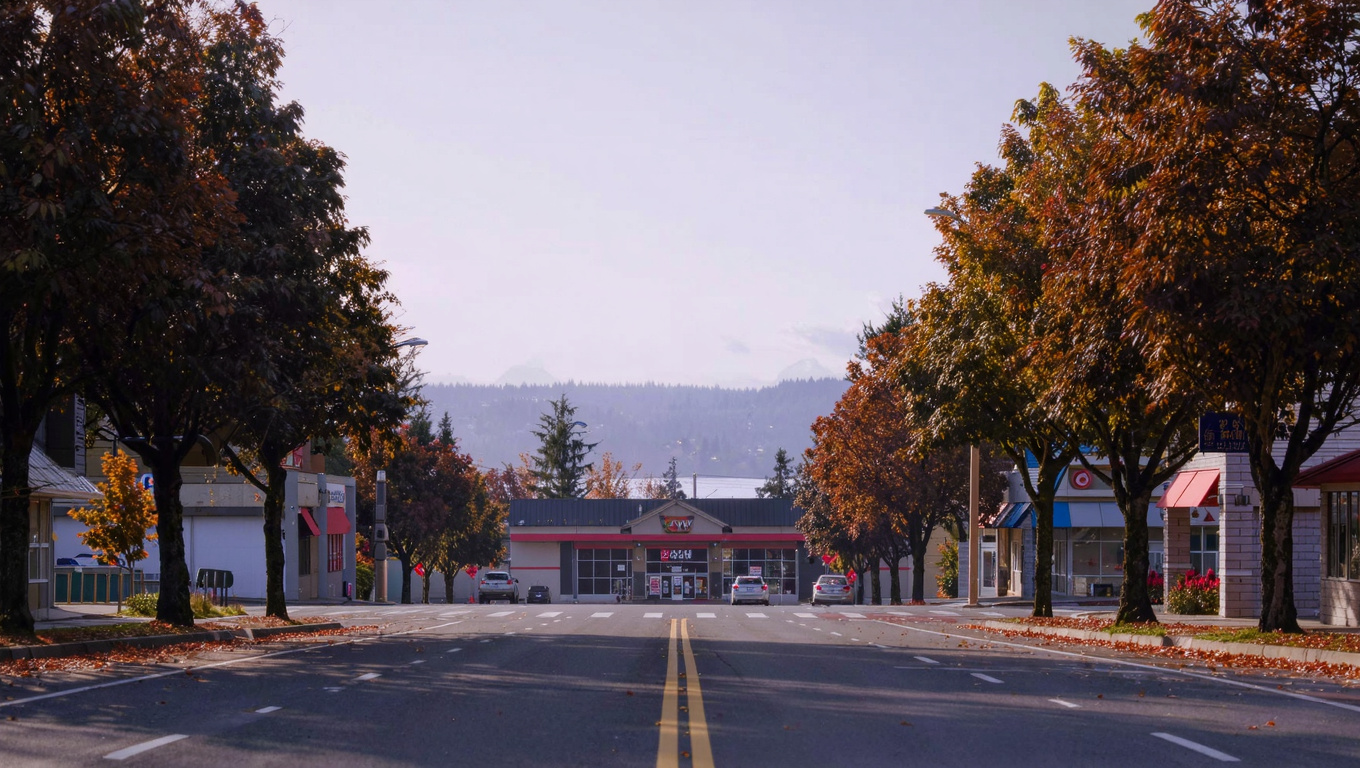
EastsideKing County CitiesSammamish June 29, 2026

Living in Tally Ho & Inglewood Hill, Sammamish | 2026

Tally Ho and Inglewood Hill sit on the northwestern edge of Sammamish, in a part of the plateau that the real estate world doesn’t always break out separately but locals definitely treat as distinct. The defining characteristic here is the terrain and what that terrain delivers: Inglewood Hill Road runs along a ridgeline with westward views of Lake Sammamish and, on clear days, the Olympic Mountains beyond. These aren’t incidental views. For the right property on the right street, the view component is a meaningful driver of value. These neighborhoods feed into Lake Washington School District rather than Issaquah School District, which makes them the natural choice for families specifically targeting Alcott Elementary, Inglewood Middle, and Eastlake High School.

What is it actually like to live in Tally Ho and Inglewood Hill in 2026?

The northwest corner of Sammamish feels different from the plateau interior. The terrain varies more. There’s rolling topography along Inglewood Hill Road that creates natural view corridors toward the lake and the west. Streets feel less uniform than the flat-grid development you see further east in the city. The neighborhood has an established, settled quality — most of the construction here runs from the mid-1990s through mid-2000s, with mature trees and landscaping that have had decades to grow. It doesn’t feel like a new subdivision and that’s largely intentional from buyers who chose this area.

The Lake Washington School District connection shapes the community character in a specific way. Buyers who end up here often did targeted research to find a Sammamish address that feeds into LWSD rather than Issaquah SD. Eastlake High School in particular draws buyers who specifically want that program. The neighborhood skews toward buyers who prioritize school-age programming, similar to the rest of Sammamish, but there’s a higher proportion of buyers who made a deliberate school district choice rather than just landing in Sammamish generally.

Daily life here mixes well with access to the East Lake Sammamish Trail — a flat, paved multi-use trail that runs along the lake’s eastern edge and connects north to Redmond and south toward Issaquah. Residents use it for cycling commutes, running, and recreational riding. The trail access from this area is genuinely excellent, one of the benefits of being at the western edge of the plateau close to the lake.

Westward ridgeline view from Inglewood Hill in Sammamish, Washington showing Lake Sammamish and Olympic Mountains silhouette through gaps in mature Pacific Northwest treeline
Inglewood Hill Road runs along a ridgeline on the western edge of the Sammamish Plateau. The right properties on the right streets have genuine westward views of Lake Sammamish and, on clear days, the Olympic Mountains.

Homes in Tally Ho and Inglewood Hill: What the Data Shows

The housing stock here runs primarily mid-1990s through mid-2000s construction, two-story detached single-family homes, ranging from about 2,000 to 3,600 square feet depending on the subdivision and lot. Lots are generally larger than you’ll find in the interior Sammamish neighborhoods, which reflects the slightly older development pattern in this area. The terrain means lot topography varies significantly from street to street — some lots are flat, others slope toward lake views, and that variation drives real price differences within a small geographic area.

Metric Tally Ho / Inglewood Hill (98074) King County
Median Sales Price (May 2026) ~$1,225,000 ~$859,000
Median Days on Market ~25 days ~28 days
Active Listings Change (vs. Jan 2026) +29% +30%

Data reflects the 98074 ZIP code. View lots and trail-proximate properties on Inglewood Hill command a meaningful premium. Verify current inventory with a licensed REALTOR.

Search Active Tally Ho & Inglewood Hill Listings

Updated daily from the MLS. No account required.

Schools Serving Tally Ho and Inglewood Hill

Tally Ho and Inglewood Hill feed into Lake Washington School District, which sets them apart from the majority of Sammamish that goes through Issaquah SD. The standard feeder for most addresses in this area is Alcott Elementary, Inglewood Middle School, and Eastlake High School. Lake Washington School District is consistently ranked among the top districts in Washington state, with strong academics, competitive athletics, and a broad range of elective and AP programming at the high school level.

Eastlake High School has a strong reputation for college preparation and a competitive STEM program. Alcott Elementary is a smaller school with a strong community reputation and consistently high parent satisfaction. Some addresses at the edges of this area may fall into different boundary zones, so as always: verify your specific address with Lake Washington School District before writing an offer. The district boundary in this part of Sammamish follows the city’s western edge fairly closely, but edge cases exist.

Verify the Schools Yourself

Always verify your specific address with Lake Washington School District before writing an offer. Boundary lines in this part of Sammamish follow the city’s western edge and edge-case addresses exist.

Getting to Work from Tally Ho and Inglewood Hill

The northwest Sammamish location gives this area better access to Redmond and the SR-520 corridor than most Sammamish neighborhoods. NE 8th Street connects west to Redmond-Fall City Road, giving a direct route to Microsoft’s Redmond campus without touching the freeway in most conditions. For I-90 Seattle commuters, the drive goes east a bit before heading south to the freeway, adding a few minutes versus the plateau interior, but it’s manageable. For Bellevue, the route can go north through Redmond and south on SR-520 or I-405 depending on traffic.

Destination Distance 2026 Drive (Peak AM) Transit Option
Downtown Seattle 22 miles 38 to 55 min I-90 West / SR-520 West
Bellevue / Amazon 14 miles 20 to 35 min SR-520 / I-405 south
Microsoft (Redmond) 9 miles 15 to 25 min Redmond-Fall City Rd / 2 Line
SeaTac Airport 30 miles 40 to 60 min SR-520 to I-405 to I-5

Quality late 1990s to 2000s two-story Pacific Northwest home exterior in the Tally Ho neighborhood of Sammamish, Washington with mature landscaping and gentle sloped terrain
Tally Ho homes run primarily mid-1990s through mid-2000s construction on larger-than-average Sammamish lots. The sloped terrain in parts of the neighborhood creates natural view corridors that don’t exist in flat plateau subdivisions.

What I See as a Valuation Expert in Tally Ho and Inglewood Hill

When I assess properties in this area for lenders, the view component is the first thing I’m calibrating for. Not every home on Inglewood Hill Road has a view, and not every view is created equal. A clear, unobstructed lake and mountain view on the right lot is worth a premium that I consistently see in the data. I have appraised comparable properties in this neighborhood where the view difference alone accounted for $80,000 to $150,000 in value. That’s a real number and it’s why I always advise buyers here to spend time understanding the specific view from the specific lot rather than assuming any Inglewood Hill address carries view value.

The Lake Washington School District assignment is a genuine demand driver that shows up in the data. Buyers who are committed to LWSD will pay a premium to stay in Sammamish and get that district, because most of Sammamish goes Issaquah. That creates a buyer pool with less competition from people who are neutral on school district and narrows it toward buyers who actively want LWSD — which keeps demand stable and focused.

The aging housing stock is a real consideration here the same as elsewhere in Sammamish’s older neighborhoods. Mid-1990s construction means 25 to 30 years of wear on HVAC, roofing, and windows on many properties. Updated homes compete well. Unupdated homes with deferred maintenance need to be priced accordingly and buyers should always get a full inspection before closing.

Valuation Insight

“A clear lake and mountain view on Inglewood Hill Road is worth $80,000 to $150,000 in premium over a comparable non-view property. That premium holds because the view is permanent and can’t be blocked by future development on the lake side.”

10-Year Lens

The combination of Lake Washington School District access and western lake views gives Tally Ho and Inglewood Hill a durable value argument that doesn’t depend on new development or amenity investment. The views don’t change and the district is stable. Properties here will continue to attract a specific, motivated buyer pool. The proximity to Redmond and the SR-520 corridor also positions this area well for Microsoft-area buyers who want a Sammamish lifestyle with a shorter commute.

Honest counter-risk: Buyers who overpay for an assumed view that is actually partial or seasonally obstructed will see that premium erode. Always verify the view from the specific property during leaf-off season to get an accurate read on what the view actually is year-round.

Frequently Asked Questions About Tally Ho and Inglewood Hill

Q: What makes Tally Ho and Inglewood Hill different from other Sammamish neighborhoods?
A: Two things primarily: Lake Washington School District access and western views of Lake Sammamish and the Olympics from the ridgeline. Most of Sammamish feeds into Issaquah SD. This area is one of the few Sammamish addresses that gets LWSD, which creates a distinct buyer pool. The views are a secondary driver but a real one on the right properties.

Q: What schools serve Tally Ho and Inglewood Hill?
A: Lake Washington School District. Most addresses feed into Alcott Elementary, Inglewood Middle School, and Eastlake High School. Verify your specific address with LWSD before writing an offer.

Q: Do all homes in this area have lake views?
A: No. Views vary significantly by street and lot. Properties on the western-facing ridgeline sections of Inglewood Hill Road have the strongest views. Interior streets and lower elevations may have partial or no views. Always verify the view from the specific property and do it during leaf-off season to see the year-round reality.

Q: What are home prices like in Tally Ho and Inglewood Hill?
A: Median sale price as of mid-2026 runs around $1.225M. View properties on Inglewood Hill command a premium of $80,000 to $150,000 over comparable non-view homes in the same neighborhood. Homes are selling in about 25 days on average.

Explore Tally Ho and Inglewood Hill Yourself

Drive Inglewood Hill Road from north to south on a clear day and stop at several points to look west. That will give you the clearest picture of which properties have genuine view potential and which are too tree-obscured to carry a view premium.

Bigger Picture

Want the full Sammamish story?

Compare neighborhoods, commute times, school districts, and what’s driving the 2026 market.

Read the Full 2026 Sammamish Living Guide →

Your guide to life outside Seattle.

Gregory Dorrell | Coldwell Banker Bain | WA License #111862
253-350-0045 · greg@livingoutsideseattle.com · www.livingoutsideseattle.com
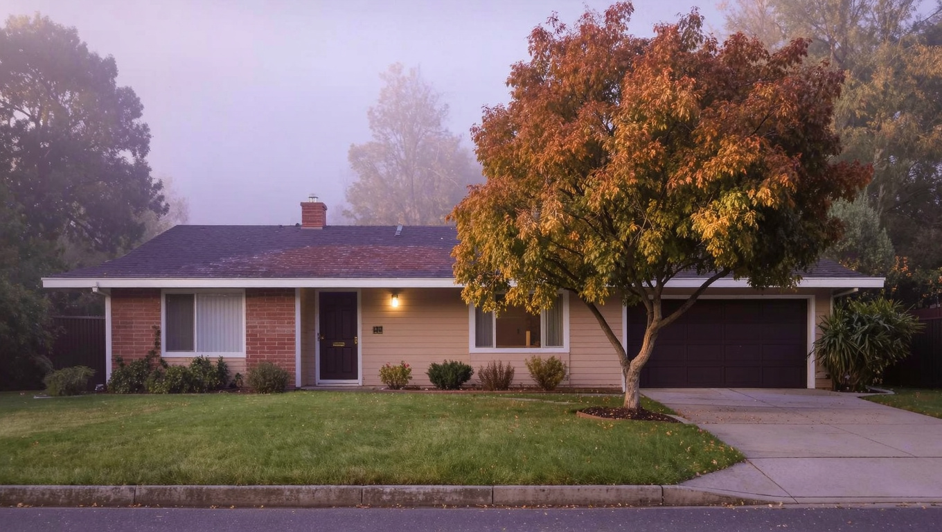
EastsideKing County CitiesSammamish June 27, 2026

Living in Pine Lake, Sammamish WA | 2026 Guide

Pine Lake is the neighborhood on the Sammamish Plateau that actually has its lake. That sounds obvious, but it matters more than people realize when they’re choosing a neighborhood. Pine Lake itself is a 170-acre freshwater lake with public access at Pine Lake Park — kayaking, paddle boarding, swimming, fishing — and the neighborhood wraps around the southeastern and northern edges of the lake. This is Issaquah School District territory, and the schools here are strong. If you’re a buyer who wants a real outdoor lifestyle woven into your daily routine rather than a separate weekend trip, Pine Lake is one of the few Sammamish neighborhoods that genuinely delivers it.

What is it actually like to live in Pine Lake in 2026?

Summer weekends in Pine Lake are unlike anything else in Sammamish. The park fills up, the boat launch stays busy from mid-morning through early evening, and the walking trail around the lake perimeter becomes the neighborhood’s main social corridor. Kids on bikes, families with kayaks strapped to their cars, people out with dogs on the trail — it has the energy of a community that chose where it lives for a reason. The rest of the year is quieter, but the proximity to the lake doesn’t disappear. Winter walks on the trail with the mist sitting on the water are their own thing entirely.

The neighborhood itself is well-maintained and HOA-governed on most streets. You’re looking at established 1990s through mid-2000s construction with mature landscaping throughout. The terrain here is slightly different from flat Sammamish plateau — there’s some gentle rolling topography near the lake shoreline that creates views on certain streets and gives the area a more varied feel than the grid-style development you see in other parts of the city. Buyers who are used to looking at similar-sized homes in more generic Sammamish streets often notice the difference when they walk Pine Lake properties.

Who ends up here? Buyers who did the research and specifically wanted the lake access. Buyers who plan to use the outdoor infrastructure from day one. Tech workers from Bellevue and Redmond who want more of a natural setting without leaving the Eastside. And people relocating from cities who are done with urban density and want their backyard to be a real outdoor environment, not just a managed green space.

Calm early morning shoreline of Pine Lake in Sammamish, Washington with still water reflecting the Douglas fir and alder tree canopy and soft mist over the surface
Pine Lake is a 170-acre freshwater lake with public access at Pine Lake Park. Kayaking, paddleboarding, swimming, and fishing are part of daily life for residents who choose this neighborhood.

Homes in Pine Lake: What the Data Shows

Pine Lake homes were built across a broad range — you’ll find properties from the early 1990s through the late 2000s depending on the specific street and subdivision. The most common footprint is 2,200 to 3,600 square feet, single-family detached, two-story, with the HOA maintaining common areas and streetscapes. Lots vary considerably. Some properties back directly to the lake or the park trail system. Others are separated from the water by a few blocks. That proximity difference drives a meaningful price spread within the same neighborhood, so it matters which block a specific home sits on.

Metric Pine Lake (98075) King County
Median Sales Price (May 2026) ~$1,175,000 ~$859,000
Median Days on Market ~24 days ~28 days
Active Listings Change (vs. Jan 2026) +28% +30%

Data reflects the 98075 ZIP code. Lake-proximate and trail-backing lots command a significant premium over comparable interior lots. Verify current inventory with a licensed REALTOR.

Search Active Pine Lake Listings

Updated daily from the MLS. No account required.

Schools Serving Pine Lake

Pine Lake is squarely in the Issaquah School District, which is one of the top-performing districts in the state. The standard feeder from this neighborhood runs Beaver Lake Elementary to Pine Lake Middle School to Skyline High School. Each school in this pipeline has a strong reputation. Beaver Lake Elementary is a smaller school with a tight community feel that fits the neighborhood’s character well. Pine Lake Middle School offers broad elective options and has a strong STEM program. Skyline High School is one of the larger Issaquah District high schools, with consistently high college-readiness metrics and a wide range of AP and IB course offerings.

Busing covers most of the neighborhood, with stops throughout the Pine Lake area. Drive times to each school are short from within the neighborhood — Beaver Lake Elementary is less than three miles from the heart of Pine Lake, and Pine Lake Middle School’s name makes its proximity obvious. This is a neighborhood where the school commute is genuinely easy, which matters more day-to-day than buyers sometimes factor in when comparing options.

Verify the Schools Yourself

Always verify your specific address with Issaquah School District before writing an offer. School assignments can vary by street within any neighborhood boundary.

Getting to Work from Pine Lake

Pine Lake sits in the central-southern part of the Sammamish Plateau, which gives it relatively direct access to both I-90 and SR-202. For Seattle commuters, the most common route is southeast on SE 216th Way to connect to Issaquah-Hobart Road, then west to I-90, then the express lanes into downtown. For Bellevue and Amazon workers, the I-90 to I-405 connection is under 20 miles. Microsoft commuters in Redmond can run SR-202 without touching the freeway at all for much of the route. Driving times vary significantly by time of day and direction — morning outbound (away from Seattle) is much cleaner than inbound.

Destination Distance 2026 Drive (Peak AM) Transit Option
Downtown Seattle 23 miles 38 to 58 min I-90 West / ST 554 Express
Bellevue / Amazon 15 miles 22 to 38 min I-90 to I-405 / ST 554
Microsoft (Redmond) 13 miles 20 to 32 min SR-202 / 2 Line Link Rail
SeaTac Airport 27 miles 35 to 52 min I-90 to I-405 to I-5

Quality 1990s Pacific Northwest single-family home exterior in the Pine Lake neighborhood of Sammamish, Washington with mature landscaping and established streetscape
Pine Lake homes run primarily 1990s through mid-2000s construction. Properties on streets near the lake or backing to the park trail system command the strongest premiums in the neighborhood.

What I See as a Valuation Expert in Pine Lake

When I’m assessing Pine Lake homes for lenders, the first question I ask is where the property sits relative to the lake and the trail corridor. The value spread within Pine Lake is wider than in most comparable Sammamish neighborhoods because the lake-proximate lots carry a lifestyle premium that simply doesn’t exist on interior streets. I’ve seen two homes with nearly identical square footage, build year, and condition sell for $80,000 to $120,000 different because one backed to the park trail and the other sat three blocks away from it. That’s not a small number at this price point, and it’s one of the reasons I always advise buyers here to look carefully at the specific lot, not just the house.

The broader valuation fundamentals are strong. Issaquah School District is a durable demand driver that has held value through multiple market cycles. The lake and park infrastructure is not something that can be replicated by a new development — you can’t build another Pine Lake, which gives the neighborhood a scarcity argument that more generic Sammamish subdivisions don’t have. Homes that have been updated in the kitchen and primary bath are moving significantly faster than unupdated comparable-age product.

One thing I flag for every buyer here: the park access and trail proximity are genuine assets, but verify the specific trail easements or park boundary proximity for the property you’re considering. Not every home that markets itself as “near Pine Lake” has meaningful access. The ones that genuinely back to the trail or have unobstructed views of the lake are a different category of asset than properties that are simply in the neighborhood.

Valuation Insight

“Lake-proximate and trail-backing lots in Pine Lake sell for $80,000 to $120,000 above comparable interior lots in the same neighborhood. That premium is one of the most durable in Sammamish because you can’t replicate the lake.”

10-Year Lens

Pine Lake’s scarcity argument gets stronger over time. As Sammamish continues to build out and newer neighborhoods become more generic, the lake access and established park infrastructure here become bigger differentiators. Issaquah School District demand is not going anywhere. Properties in this neighborhood that have been well-maintained will hold their value better than comparable-age homes in neighborhoods without these natural assets.

Honest counter-risk: The aging housing stock requires active maintenance investment. Buyers who underestimate the capital required to keep a 25-to-30-year-old home in competitive condition may see their value erode relative to newer product in other Sammamish neighborhoods if they defer maintenance.

Frequently Asked Questions About Pine Lake

Q: Is Pine Lake a good place to live in Sammamish?
A: Yes, especially if outdoor access and Issaquah schools are priorities. The neighborhood has a genuine lake and trail system that most Sammamish neighborhoods don’t, and the school pipeline from Beaver Lake Elementary through Skyline High is strong. The tradeoff is that housing stock is 20 to 30 years old and requires maintenance investment.

Q: What schools serve Pine Lake?
A: Issaquah School District. Most addresses feed into Beaver Lake Elementary, Pine Lake Middle School, and Skyline High School. Always verify your specific address with the district before writing an offer.

Q: Can you access Pine Lake itself from the neighborhood?
A: Yes. Pine Lake Park on SE 216th Way provides public access with a boat launch, swimming beach, picnic areas, and trailheads. Some properties within the neighborhood have trail access directly from their lots or streets.

Q: What are home prices like in Pine Lake?
A: Median sale price as of mid-2026 runs around $1.175M for detached single-family homes. Lake-proximate and trail-backing lots command a meaningful premium — sometimes $80,000 to $120,000 above comparable interior properties. Homes are selling in about 24 days on average.

Explore Pine Lake Yourself

The best way to understand Pine Lake is to drive SE 216th Way along the park edge and walk the trail perimeter. You’ll quickly see why the trail-backing properties command a premium and get a feel for which streets have the most direct lake access.

Bigger Picture

Want the full Sammamish story?

Compare neighborhoods, commute times, school districts, and what’s driving the 2026 market.

Read the Full 2026 Sammamish Living Guide →

Your guide to life outside Seattle.

Gregory Dorrell | Coldwell Banker Bain | WA License #111862
253-350-0045 · greg@livingoutsideseattle.com · www.livingoutsideseattle.com
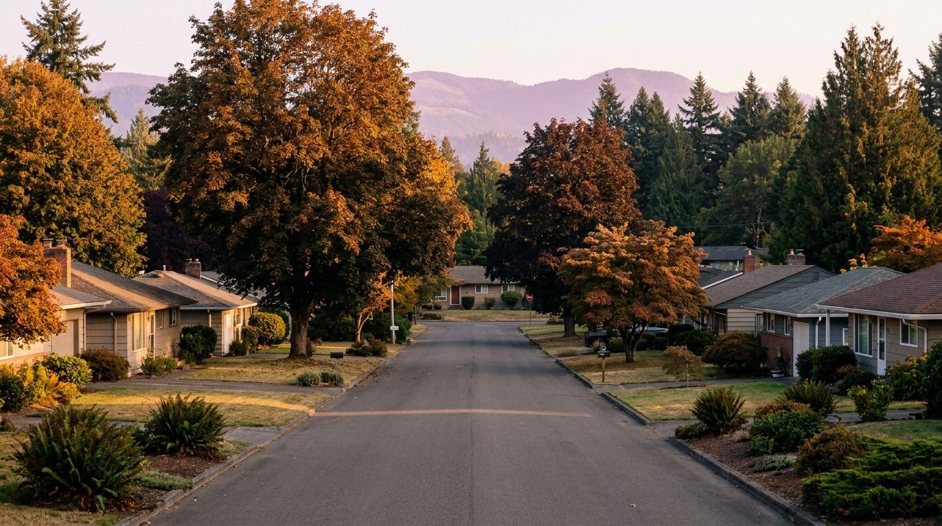
EastsideKing County CitiesSammamish June 26, 2026

Living in Klahanie, Sammamish WA | 2026 Guide

Klahanie is one of the most talked-about planned communities in the Sammamish area, and for good reason. This is a Family-First Established neighborhood built primarily in the late 1980s through mid-1990s, with community amenities that most Sammamish neighborhoods simply don’t have. There’s a catch that buyers need to know about up front: Klahanie sits on a district line, and your specific address will determine whether your kids go to school in Issaquah or Bellevue. That’s not a deal-breaker. But it’s something you need to verify before making an offer, not after.

What is it actually like to live in Klahanie in 2026?

Tuesday morning in Klahanie has a rhythm to it. The community trails pick up traffic early. Dog walkers, runners, parents pushing strollers before the workday starts. The Klahanie Community Association’s paved trail network connects through the neighborhood, so residents don’t have to get in a car to move around. By 8:30 AM the streets quiet down fast. It’s the kind of neighborhood where the morning actually feels slow once the school run is done.

Weekends center on the community amenities. The pools are a genuine social hub in summer. The tennis courts see consistent use through the spring and fall. There’s organized recreation for kids through the community association, and the neighborhood’s internal trail system gives families a real outdoor option without leaving the development. Klahanie also sits close enough to Lake Sammamish State Park that it’s a short drive to the beach on a Saturday. You see a lot of buyers who specifically chose Klahanie over other Sammamish neighborhoods for the amenity infrastructure.

Who buys here? Tech workers who wanted the structured community feel that Klahanie offers. A lot of buyers who looked at HOA-governed Sammamish neighborhoods and chose Klahanie specifically because the community association runs programming and maintains infrastructure that smaller HOAs can’t support. The community skews toward dual-income households with school-age children. Move-up buyers from Seattle and Bellevue who want space and community but don’t want to feel isolated.

Community clubhouse and outdoor amenity area in Klahanie, Sammamish, Washington with mature landscaping and Pacific Northwest architecture
Klahanie is one of the few Sammamish neighborhoods with a full community amenity package maintained by the Klahanie Community Association, including pools, tennis courts, and paved internal trails.  

Homes in Klahanie: What the Data Shows

Klahanie’s homes were built in several phases between 1987 and 1997. The mix is broader here than in most Sammamish neighborhoods: you have detached single-family homes, attached townhomes, and some condominium-style units depending on which part of Klahanie you’re in. Single-family homes typically run from 1,800 to 3,200 square feet, with lots on the smaller side compared to other Sammamish neighborhoods. The townhome product runs 1,200 to 1,800 square feet. Klahanie was ahead of its time as a master-planned community, and the infrastructure shows it. But the homes themselves are 30 to 35 years old, which means buyers need to budget for mechanical and systems replacement on many properties. This is the oldest housing stock in Sammamish.

Metric Klahanie (98075) King County
Median Sales Price (May 2026) ~$1,050,000 ~$859,000
Median Days on Market ~26 days ~28 days
Active Listings Change (vs. Jan 2026) +31% +30%

Data reflects the 98075 ZIP code. Klahanie’s price range varies significantly by product type. Detached single-family homes command a substantial premium over attached townhomes in the same community. Verify current inventory with a licensed REALTOR.

Search Active Klahanie Listings

Updated daily from the MLS. No account required.

Schools Serving Klahanie

This is the most important thing to know about Klahanie schools: your address determines your district. Klahanie sits on the boundary between Issaquah School District and Bellevue School District. Some streets feed into Issaquah, others into Bellevue. Both districts are excellent. But the school assignment process, the specific schools your kids attend, and the busing logistics are completely different depending on which side of the line your home sits on. Always verify your specific address with both districts before writing an offer.

If your address is in the Issaquah School District, the most common feeder is Endeavour Elementary, Pine Lake Middle School, and Skyline High School. Endeavour Elementary has a strong technology integration program. Pine Lake Middle is a well-regarded school with deep elective options. Skyline High School has a consistently high college readiness rate. If your address falls in the Bellevue School District, the feeder is typically Spiritridge Elementary, Tillicum Middle School, and Newport High School. Newport has an especially strong reputation for academic rigor and college placement.

The day-to-day experience is similar either way: bus service to neighborhood stops, relatively short distances to school. The meaningful difference is which district’s programming, athletics, and course offerings you’re working with. Some families specifically target one district over the other. If that’s you, narrow your Klahanie search to the appropriate streets before scheduling tours.

Verify the Schools Yourself

Klahanie addresses split between Issaquah and Bellevue school districts. Always verify your specific address with the appropriate school district (Issaquah or Bellevue) before writing an offer. Do not assume based on neighboring homes.

Getting to Work from Klahanie

Most Klahanie commuters take the community roads north to NE 8th Street and then connect to SR-202 west toward Redmond, or head south to I-90 via Issaquah Hobart Road. I-90 access is about four miles from the community core. For Bellevue commuters, the I-90 to I-405 connection works well. For Microsoft workers in Redmond, the SR-202 route avoids I-90 entirely and runs about 12 to 14 miles. For Seattle commuters, I-90 westbound is the main route but can back up significantly at the Mercer Island interchange during peak hours. The Issaquah Highlands Park and Ride serves this part of the plateau with Metro and Sound Transit express service.

Destination Distance 2026 Drive (Peak AM) Transit Option
Downtown Seattle 24 miles 40 to 60 min I-90 West / ST 554 Express
Bellevue / Amazon 16 miles 25 to 40 min I-90 to I-405 / ST 554
Microsoft (Redmond) 12 miles 18 to 30 min SR-202 / 2 Line Link Rail
SeaTac Airport 28 miles 35 to 55 min I-90 to I-405 to I-5

Late 1980s to 1990s two-story home exterior in the Klahanie neighborhood of Sammamish, Washington with established landscaping and community streetscape
Klahanie homes date to the late 1980s through mid-1990s, making this the oldest housing stock in Sammamish. Buyers should budget for major systems replacement on many properties in this price range.

What I See as a Valuation Expert in Klahanie

In Klahanie, the age of the build is always the first thing that matters for valuation. Klahanie’s homes are 30 to 35 years old, and that means a lot of the original mechanical systems are approaching end of useful life. HVAC units from the original construction years, original roofing on homes that haven’t had roof replacements, and original siding that may be showing wear. Buyers at this price point in Klahanie need a thorough inspection and should expect to price in $40,000 to $100,000 in deferred capital work, especially on the detached homes.

What drives value up inside Klahanie is the product type and the updates. Detached single-family homes sell at a substantial premium over attached townhomes of the same vintage. Full kitchen and bath renovations on the older stock reliably move the needle here because buyers are comparing updated Klahanie product against newer homes in other Sammamish neighborhoods, and the community amenity package gives updated Klahanie homes a real argument. Homes that have had full mechanical updates and kitchen renovations sell faster and at stronger price-per-square-foot than anything else in the community.

The school district assignment matters to value here more than in most Sammamish neighborhoods. Homes on the Bellevue School District side of the line, specifically those feeding into Newport High School, often command a premium over comparable Issaquah-assigned homes in the same development. This is not universal, but It’s common enough to flag. If you’re buying and can be flexible about school district, it’s worth understanding which side of the line each property you’re considering falls on.

Valuation Insight

“Detached homes in Klahanie with full mechanical updates and renovated kitchens sell for $100,000 to $150,000 above unupdated comparable-sized homes in the same community. The age of the stock creates a real value spread here.”

10-Year Lens

Klahanie’s core advantage is the community infrastructure. As Sammamish grows and newer developments lack the amenity depth that Klahanie has, the community association model here becomes a bigger differentiator. Properties that have been updated will hold their value well. The school district access to both Issaquah and Bellevue also creates durable demand from two different buyer pools.

Honest counter-risk: The age of the housing stock is a real exposure. As competing newer Sammamish neighborhoods mature, updated homes in those areas will increasingly compete with Klahanie’s unupdated product. Buyers who don’t plan to update may see their resale value squeezed by newer construction in the mid-2030s.

Frequently Asked Questions About Klahanie

Q: Is Klahanie a good place to live in Sammamish?
A: Yes, if you want a community with real amenity infrastructure and access to two strong school districts. Klahanie has more built-in community than most Sammamish neighborhoods. The tradeoff is that the housing stock is older and buyers need to budget for updates and system replacements on most properties.

Q: What schools serve Klahanie?
A: Klahanie addresses split between Issaquah and Bellevue school districts. Issaquah addresses typically feed into Endeavour Elementary, Pine Lake Middle, and Skyline High. Bellevue addresses feed into Spiritridge Elementary, Tillicum Middle, and Newport High. You must verify your specific address with the district before writing an offer.

Q: What are homes like in Klahanie?
A: A mix of detached single-family homes and attached townhomes, mostly built between 1987 and 1997. Single-family homes run 1,800 to 3,200 square feet. Median sale price as of mid-2026 is around $1.05M across all product types, with detached homes commanding a significant premium over townhomes.

Q: How far is Klahanie from Seattle?
A: About 24 miles from downtown Seattle via I-90. Peak-hour drive time is typically 40 to 60 minutes. Microsoft’s Redmond campus is about 12 miles and 18 to 30 minutes. Bellevue is about 16 miles and 25 to 40 minutes in peak traffic.

Explore Klahanie Yourself

The best way to understand Klahanie is to walk or drive the trail network and see the community amenities for yourself. The internal path system gives you a good sense of why residents value this community’s infrastructure over other Sammamish neighborhoods with fewer built-in amenities.

Bigger Picture

Want the full Sammamish story?

Compare neighborhoods, commute times, school districts, and what’s driving the 2026 market.

Read the Full 2026 Sammamish Living Guide →

Your guide to life outside Seattle.

Gregory Dorrell | Coldwell Banker Bain | WA License #111862
253-350-0045 · greg@livingoutsideseattle.com · www.livingoutsideseattle.com
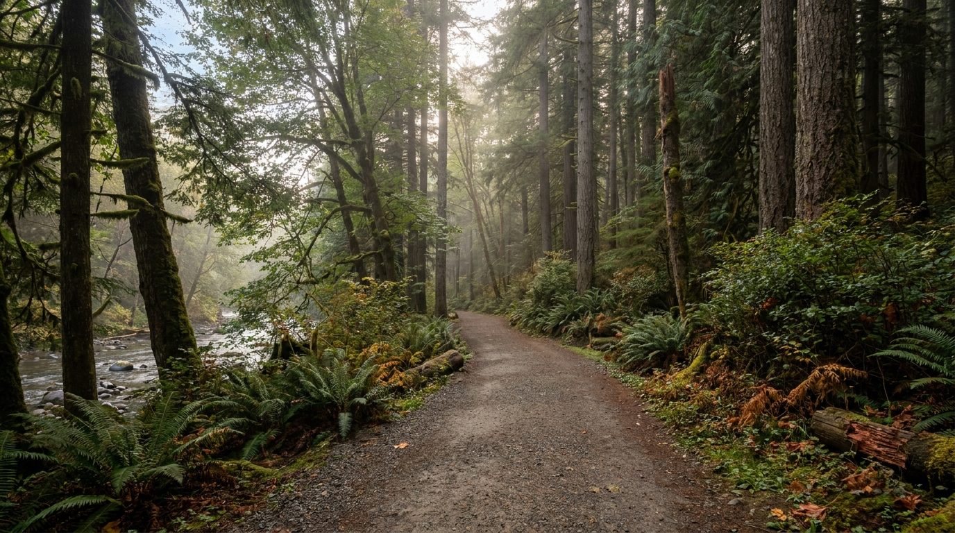
EastsideKing County CitiesSammamish June 23, 2026

Living in Trossachs, Sammamish WA | 2026 Guide

Trossachs is one of the most consistent performers in Sammamish real estate, and it doesn’t get as much attention as it deserves. This is a Family-First Established community on the southwest corner of the Sammamish Plateau, built primarily in the 1990s and early 2000s, and it has held its value through every market shift I’ve watched on the Eastside. If you’re comparing Sammamish neighborhoods and you want a place with deep roots, strong schools, and actual trail access right from your neighborhood, Trossachs belongs on your list.

What is it actually like to live in Trossachs in 2026?

Tuesday morning at 7:15 AM in Trossachs is a school run. The streets pick up for about 20 minutes as parents drive kids to Sunny Hills Elementary or the bus stop. Then the neighborhood goes quiet. Really quiet. You get a few dog walkers on the cul-de-sac loops, maybe someone pulling out late for a Bellevue commute. But by 8:15 the plateau has settled back into the kind of stillness that a lot of Eastside buyers spend years searching for.

Saturdays run on trails and soccer fields. Pine Lake Park gets heavy foot traffic from Trossachs residents on weekend mornings. Kids have organized sports at the Sammamish parks system through the fall and spring seasons. You see a lot of families at the Issaquah Farmers Market in the warmer months, and the Trossachs neighborhood association runs its own community events through the year. This is not a neighborhood where people disappear inside their homes. There’s a real community culture here.

Who lives in Trossachs? Mostly tech buyers who came for the Issaquah school district. A lot of Microsoft and Amazon employees who made the Eastside move and decided to stay here rather than keep looking. The homes skew toward move-up size buyers: people who wanted more than 2,000 square feet, a real backyard, and a neighborhood that wouldn’t feel anonymous. Trossachs is not the flashiest address in Sammamish. But it’s one of the most livable, and the people who buy here tend to stay.

Forest trail at Pine Lake Park in Sammamish, Washington near the Trossachs neighborhood with Douglas fir canopy and sword ferns
Pine Lake Park borders Trossachs on the south side. The trail system connects the neighborhood to several miles of forested paths without needing to get in a car.

Homes in Trossachs: What the Data Shows

Most Trossachs homes were built between 1994 and 2005. The dominant style is two-story Northwest traditional with craftsman-influenced detailing: covered porches, board-and-batten accents, and medium-pitch gable roofs. Square footage typically runs from 2,400 to 3,800 square feet, with most homes landing in the 2,800 to 3,200 range. Lot sizes are conventional Sammamish plateau lots, roughly 6,000 to 9,000 square feet, with mature landscaping throughout since the neighborhood has had 25 to 30 years to grow in. The community is entirely single-family detached homes. Most of Trossachs is governed by one of several smaller HOAs that keep the common areas well-maintained. You will not find condos or townhomes here.

Metric Trossachs (98075) King County
Median Sales Price (May 2026) ~$1,275,000 ~$859,000
Median Days on Market ~22 days ~28 days
Active Listings Change (vs. Jan 2026) +27% +30%

Data reflects the 98075 ZIP code (southern Sammamish). Trossachs homes vary by size, condition, and lot position. Verify current inventory with a licensed REALTOR before drawing comparisons.

Search Active Trossachs Listings

Updated daily from the MLS. No account required.

Schools Serving Trossachs

Trossachs is entirely within the Issaquah School District. The standard feeder pipeline for most Trossachs addresses is Sunny Hills Elementary, Pine Lake Middle School, and Skyline High School. Always verify your specific address with the Issaquah School District before writing an offer, since some streets in the southwest plateau can fall in a different attendance zone.

Sunny Hills Elementary runs one of the stronger STEM programs in the district at the elementary level. Pine Lake Middle School is well-regarded for its combination of academics and elective depth, including a strong band program and science electives that feed well into Skyline’s advanced coursework. Skyline High School consistently scores above state average on college readiness metrics and sends a high percentage of graduates to four-year universities. The school’s STEM and IB pathway options are a genuine draw for families relocating from high-performing metro districts.

The daily pipeline runs smoothly from Trossachs. Most elementary-age kids walk or take the neighborhood bus to Sunny Hills. Middle schoolers bus to Pine Lake. High schoolers either drive or take the district bus to Skyline. The commute is short by any measure. None of these schools are more than about four miles from the neighborhood core.

Verify the Schools Yourself

School ratings and attendance zones change. Always verify your specific address with the Issaquah School District before writing an offer.

Getting to Work from Trossachs

Most Trossachs commuters take SE 56th Street west to Issaquah Hobart Road and then connect to I-90 at exit 17 or exit 15. From there it’s a straight shot east to the SR-520 junction for Redmond, or west over the floating bridge to Bellevue and Seattle. Peak-hour I-90 westbound can back up at the Mercer Island interchange, so leaving before 7:30 AM makes a difference. For transit, the Issaquah Highlands Park and Ride is about six miles from Trossachs and serves Metro routes and Sound Transit 554 express service.

Destination Distance 2026 Drive (Peak AM) Transit Option
Downtown Seattle 26 miles 40 to 60 min I-90 West / ST 554 Express
Bellevue / Amazon 18 miles 25 to 40 min I-90 to I-405 / ST 554
Microsoft (Redmond) 14 miles 20 to 35 min I-90 to SR-520 East
SeaTac Airport 30 miles 35 to 55 min I-90 to I-405 to I-5

Quality 1990s two-story craftsman-influenced home exterior in the Trossachs neighborhood of Sammamish, Washington with mature landscaping
Trossachs homes were mostly built in the 1990s through early 2000s. The two-story craftsman-influenced style is the norm, and most properties show 25 to 30 years of mature landscaping.

What I See as a Valuation Expert in Trossachs

In Trossachs, valuation weight goes to three things first: the lot position, the build era, and the original builder. Trossachs has a mix of builders from the 1990s production era, and there are real differences in build quality between subdivisions. The homes that show the highest comparable sales are typically on lots with private yard space and no rear-neighbor visual overlap. Premium lot position in Trossachs can add $40,000 to $80,000 to final sale price versus a mid-block home with identical square footage.

HOA compliance and curb appeal matter a lot here because this is an HOA-governed community. Homes that have kept up with exterior paint cycles, landscaping standards, and minor repairs consistently sell faster and closer to asking price than ones that show deferred maintenance. The first impression from the street is a real pricing factor in Trossachs, not just an aesthetic one. Buyers are comparing multiple well-maintained options, so anything that stands out as neglected draws offers with larger inspection holdbacks.

What moves first in Trossachs are the homes that back to Pine Lake Park or have a trail easement behind them. Buyers pay a genuine premium for that direct trail access. Updated kitchens with an open layout to the family room also move faster here because the 1990s floor plans often have a more closed kitchen, and buyers want the open-concept flow. Full kitchen remodels on Trossachs homes reliably recoup well above average because the neighborhood demand supports the price lift.

Valuation Insight

“Trail-backing lots in Trossachs consistently sell $50,000 to $80,000 above comparable mid-block homes of the same size. That trail premium is one of the most durable in Sammamish.”

10-Year Lens

Trossachs is well-positioned for the next decade. The combination of Issaquah school district access, Pine Lake Park adjacency, and proximity to both the Bellevue and Redmond tech corridors creates durable demand. The neighborhood’s mature tree canopy and established character are also hard to replicate in newer construction. As Sammamish adds density along its commercial corridors, Trossachs will hold its single-family residential identity. I expect sustained demand here regardless of broader market cycles.

Honest counter-risk: Trossachs homes from the 1990s are approaching the age when major systems need replacement. Buyers should expect HVAC, roof, and potentially siding replacement on older homes. Factor $40,000 to $80,000 in deferred capital work into your offer analysis on any home built before 2000.

Frequently Asked Questions About Trossachs

Q: Is Trossachs a good place to live in Sammamish?
A: Yes, if you want an established family neighborhood with Issaquah schools and direct trail access. Trossachs is one of the most livable areas on the Sammamish Plateau. The community is well-maintained, the schools are strong, and the trail connection to Pine Lake Park is a genuine quality-of-life asset most neighborhoods at this price point can’t match.

Q: What are homes like in Trossachs?
A: Mostly two-story single-family homes built in the 1990s to early 2000s. Most run 2,400 to 3,800 square feet, with a median sale price around $1.27M as of mid-2026. The neighborhood is all detached homes and is entirely HOA-governed.

Q: What schools serve Trossachs?
A: Most Trossachs addresses feed into Sunny Hills Elementary, Pine Lake Middle School, and Skyline High School in the Issaquah School District. Always verify your specific address with the district before making an offer, since attendance boundaries can shift.

Q: How far is Trossachs from Seattle?
A: About 26 miles from downtown Seattle via I-90. Peak-hour drive time is typically 40 to 60 minutes. Most residents commute to Bellevue or Redmond, which are 18 and 14 miles respectively and take 25 to 40 minutes in morning traffic.

Explore Trossachs Yourself

The best way to get a feel for Trossachs is to drive the loop roads on a weekend morning and walk the Pine Lake trail from one of the neighborhood access points. You’ll get a sense of the lot sizes, the tree coverage, and what daily life actually looks like here.

Bigger Picture

Want the full Sammamish story?

Compare neighborhoods, commute times, school districts, and what’s driving the 2026 market.

Read the Full 2026 Sammamish Living Guide →

Your guide to life outside Seattle.

Gregory Dorrell | Coldwell Banker Bain | WA License #111862
253-350-0045 · greg@livingoutsideseattle.com · www.livingoutsideseattle.com
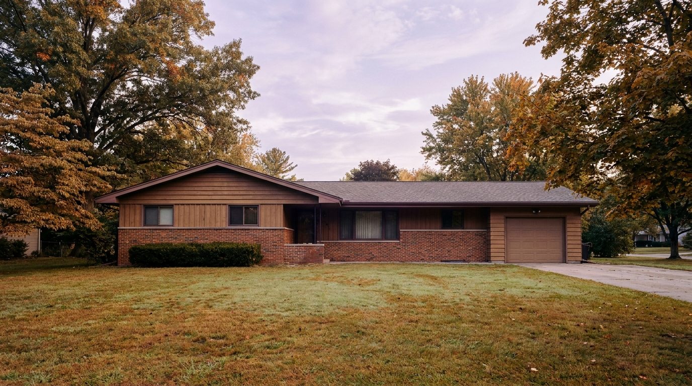
King County CitiesRenton June 21, 2026

Living in Downtown Renton WA | 2026 Neighborhood Guide

Downtown Renton has spent the last decade quietly reinventing itself. The Cedar River runs through the middle of it. Piazza Park anchors the commercial core. And a wave of new apartments and renovated storefronts along S 3rd Street has given it genuine urban energy for the first time in decades. The vibe is Walkable Urban Edge — not Seattle-dense, but walkable enough to handle daily life without a car. In 2026, it’s drawing buyers and renters who want city-style convenience at south King County prices.

What Is It Actually Like to Live in Downtown Renton in 2026?

Downtown Renton on a weekday morning is active and compact. The commercial strip on S 3rd Street has coffee, breakfast options, and a farmers market on Saturdays from May through October. The Cedar River is a five-minute walk from most residential addresses in the core. Light rail riders can reach Rainier Beach Link station in under 15 minutes by bus or bike, connecting to the broader regional system. For a south King County location, the urban connectivity here is genuinely above average.

Weekends feel like a small city coming into its own. Piazza Park fills up on summer evenings with community events and casual gatherings. The Renton Farmers Market draws a consistent crowd. Cedar River Trail is busy with cyclists and dog-walkers from early Saturday through Sunday afternoon. Restaurants on the main commercial strip give residents real dining options without driving to Bellevue or Tukwila. The revitalization here is real, not cosmetic.

Downtown Renton attracts a mix of young professionals who want walkability, older residents who’ve downsized from suburban homes, and buyers who commute to Boeing’s nearby campus. The neighborhood is also popular with investors — rental demand is strong here because of the transit access, walkability, and relatively affordable entry prices compared to Bellevue or Seattle.

Cedar River Trail paved path winding through riparian forest alongside the Cedar River in Downtown Renton, Washington.
The Cedar River Trail offers paved multi-use access through Downtown Renton and extends all the way to Maple Valley.

Homes in Downtown Renton: What the Data Shows

Downtown Renton’s housing stock is the most varied in the city. You’ll find Craftsman bungalows from the 1920s and 1930s on small city lots, post-war ramblers from the 1950s and 1960s, mid-century apartment buildings, and newer multi-family developments from the 2010s and 2020s. Single-family home sizes typically run 800 to 1,600 sq ft on lots of 4,000 to 7,000 sq ft. Condo and apartment units range from studios to two-bedrooms. The neighborhood is denser than any other part of Renton, and buyers should expect smaller lots and closer neighbors in exchange for the walkability premium.

Market Pulse Downtown Renton / 98057 King County
Median Sales Price (May 2026) ~$550,000 ~$859,000
Median Days on Market ~25 days ~28 days
Active Listings Change (vs. Jan 2026) +26% +30%

Figures are approximate based on zip code 98057 activity. Verify current data at NWMLS.com.

Schools Serving Downtown Renton

Downtown Renton falls entirely within Renton School District. The primary pipeline is Tiffany Park Elementary or Hazel Valley Elementary (depending on exact address), Dimmitt Middle School, and Renton High School. Renton High is the flagship high school for the district — it has a strong dual-enrollment program with Renton Technical College and a wide AP course catalog. Dimmitt’s STEM academy is well-regarded for middle schoolers with technology or engineering interests. For a dense urban neighborhood, the school pipeline here is a legitimate asset, and many families moving downtown cite it as a key factor in their decision.

Getting to Work from Downtown Renton

Downtown Renton sits at the junction of SR-169 and the I-405 corridor. From the urban core, I-405 north or south is typically 5 minutes by car. For transit riders, bus connections to the South Renton Transit Center open up Stride S2 BRT service toward Bellevue. The Cedar River Trail also provides a car-free cycling commute option toward the employment corridors along SR-169.

1950s to 1970s single-family home exterior near Downtown Renton Washington with updated landscaping and compact urban lot.
Single-family homes near Downtown Renton typically run 800 to 1,600 sq ft on compact urban lots, with walkability as the key amenity.
Destination Distance 2026 Peak AM Drive Transit Option
Downtown Seattle 11 miles 20 to 35 min I-405 N to I-5 N
Amazon (South Lake Union) 12 miles 25 to 45 min I-405 N to I-5 N
Microsoft (Redmond) 18 miles 30 to 50 min I-405 N / Stride S2 + Transfer
SeaTac Airport 9 miles 12 to 22 min I-405 S to SR-167

What I See as a Valuation Expert in Downtown Renton

Downtown Renton is an HOA-variable neighborhood. Single-family homes on city lots have no HOA. Condo and newer multi-family buildings have HOAs — fees typically run $200 to $500 per month depending on the building’s age and amenities. When I assess properties here for lenders, the biggest challenge is the wide condition and product-type range. Appraising a 1930s Craftsman bungalow and a 2018 condo in the same neighborhood requires completely different comp sets. Buyers need to make sure their agent is pulling genuinely comparable sales, not just nearby sales of different product types.

The Cedar River flood zone is a real consideration in parts of Downtown Renton. The lower-lying streets near the river can fall within FEMA’s 100-year flood zone. I flag flood zone status on every downtown property I assess for a lender. If a home looks unusually affordable for the location, check the FEMA Flood Map before going under contract. Flood insurance adds a meaningful monthly cost and complicates future resale.

Long term, Downtown Renton is the most interesting redevelopment story in south King County. The infrastructure is already there — Cedar River, I-405 access, transit center, and a walkable commercial core. As more young professionals and downsizers discover that this kind of urban environment exists outside of Seattle or Bellevue, demand should grow. The 10-year thesis is about continued revitalization narrowing the gap between downtown Renton prices and comparable urban neighborhoods in north King County. That gap is still wide in 2026. Buyers who get in now are buying into the early chapter of that story.

Frequently Asked Questions About Living in Downtown Renton

Is Downtown Renton actually walkable?

Yes, more than most people expect. The S 3rd Street commercial strip, Safeway, Piazza Park, and Cedar River Trail trailhead access are all within a 10-minute walk of most downtown residential addresses. It is not Seattle-dense, but daily errands, coffee, and outdoor access are all genuinely car-optional here.

What is the flood risk in Downtown Renton?

Some streets near the lower Cedar River corridor fall within FEMA’s 100-year flood zone. This is most relevant for properties closest to the river. Check the FEMA Flood Map Service Center with any specific address before going under contract. Flood insurance adds monthly cost and can affect future resale.

What types of homes are available in Downtown Renton?

Downtown Renton has the most varied housing stock in the city. Buyers find 1920s and 1930s Craftsman bungalows, 1950s and 1960s post-war ramblers, mid-century apartment buildings, condos, and newer 2010s and 2020s multi-family construction. Single-family homes typically run 800 to 1,600 sq ft. Condos range from studios to two bedrooms.

How does Downtown Renton compare to Kennydale or Talbot Hill for value?

Downtown Renton typically prices lower than Kennydale and Talbot Hill on a per-square-foot basis. The trade is smaller lots and a denser environment in exchange for walkability and transit access that neither Kennydale nor Talbot Hill can match. For buyers who actually use that walkability daily, the value equation strongly favors downtown.

Explore Downtown Renton Yourself

Park on S 3rd Street on a Saturday morning. Walk to Piazza Park, grab coffee, and then follow the Cedar River Trail east for a mile. Come back through the farmers market if it’s running. That two-hour loop tells you everything you need to know about what downtown Renton has become.

View Downtown Renton on Google Maps →

Your guide to life outside Seattle.

Gregory Dorrell | Coldwell Banker Bain | WA License #111862
253-350-0045  ·
greg@livingoutsideseattle.com  ·
www.livingoutsideseattle.com
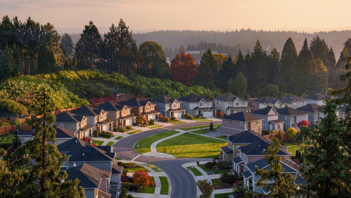
King County CitiesRenton June 19, 2026

Living in May Valley, Renton WA | 2026 Neighborhood Guide

May Valley is the quietest edge of Renton. It sits in the valley between Renton and Issaquah, with Cougar Mountain Regional Wildland Park rising to the south and forested hillsides pressing in on both sides. The vibe here is unmistakably Wooded Sanctuary — larger parcels, more privacy, and a pace of life that’s genuinely different from anywhere else in the city. In 2026, it remains one of the best semi-rural options in all of King County for buyers who want space without leaving civilization behind.

What Is It Actually Like to Live in May Valley in 2026?

May Valley mornings are quiet in a way that most King County neighborhoods can’t match. Traffic on May Valley Road SE is light. There are no commercial strips, no through-traffic shortcuts, and no noise from nearby freeways. If you work from home or value a truly calm residential environment, this is one of the few places in the greater Seattle area that genuinely delivers it. The trade-off is distance — daily errands require a drive, and commute times to the tech corridor are longer than central Renton.

Weekends in May Valley are outdoor-oriented almost by default. Cougar Mountain Regional Wildland Park has over 36 miles of trails for hiking and mountain biking. The park borders the neighborhood directly, which means residents can walk from their front door to established trailheads in minutes. The Coal Creek trail corridor provides additional paved options for cyclists and families with strollers. There’s a genuine outdoor recreation culture here that draws a specific kind of buyer — one who values trail access as much as square footage.

May Valley buyers tend to be outdoor enthusiasts, families seeking Issaquah School District assignments, remote workers who value quiet over commute convenience, and long-term owners who bought here decades ago and have no reason to leave. It’s not a neighborhood for everyone. But for its buyers, it’s exactly right.

Cougar Mountain Regional Wildland Park forest trail near May Valley in Renton WA, winding through old-growth Douglas fir and western red cedar
Cougar Mountain Regional Wildland Park borders May Valley directly, giving residents trailhead access within walking distance of most homes.

Homes in May Valley: What the Data Shows

May Valley’s housing stock spans a wide era — from 1970s split-levels to custom builds from the 2000s and 2010s. Home sizes range from 1,600 to 3,500 sq ft. Lots are significantly larger than anywhere else in Renton: a quarter-acre is common, half-acre parcels appear regularly, and some properties exceed an acre. Many homes have long driveways, detached garages or outbuildings, and mature tree coverage that creates genuine privacy. Architectural styles are varied — you’ll find everything from Pacific Northwest ramblers to newer Northwest Contemporary custom homes. The neighborhood has grown organically over 50 years and it shows in the interesting mix of properties.

Market Pulse May Valley / 98059 King County
Median Sales Price (May 2026) ~$820,000 ~$859,000
Median Days on Market ~35 days ~28 days
Active Listings Change (vs. Jan 2026) +24% +30%

Figures are approximate based on zip code 98059 activity. Verify current data at NWMLS.com.

Schools Serving May Valley

The eastern portion of May Valley — roughly from Coal Creek Parkway east — falls within Issaquah School District, which is a major draw for families. The typical Issaquah pipeline for May Valley students is Cougar Ridge Elementary, Maywood Middle School, and Liberty High School. Cougar Ridge Elementary is a newer facility with strong parent engagement and a well-regarded STEM program. Maywood Middle offers solid arts and technology tracks. Liberty High School carries one of the most competitive AP program records in south King County.

The western edge of May Valley may assign to Renton School District. This district boundary split is not obvious from looking at a map — it runs through the valley and can change by street. Confirm your specific address assignment directly with both districts before making any school-based purchasing decisions.

If you’ve done the homework on Liberty High School’s outcomes, the Issaquah premium feels justified. The market agrees — Issaquah-assigned homes in May Valley consistently appraise above Renton-assigned homes on otherwise comparable parcels.

Getting to Work from May Valley

May Valley Road SE is the main artery. Head west to reach Renton and SR-169 north to I-405. Head east on Coal Creek Parkway SE to reach I-90 at Issaquah — the faster route for Eastside tech commuters heading to Redmond or Bellevue. No matter which direction you go, budget 10 to 15 minutes before you hit a freeway.

Custom Pacific Northwest home on large wooded parcel in May Valley Renton WA, 1990s to 2010s craftsman style with cedar siding and mature fir trees
May Valley homes sit on significantly larger parcels than anywhere else in Renton, with many offering natural privacy from mature tree coverage and long driveways.
Destination Distance 2026 Peak AM Drive Transit Option
Downtown Seattle 20 miles 38 to 60 min Coal Creek Pkwy to I-90 W
Amazon / Microsoft (Bellevue/Redmond) 15 miles 25 to 40 min Coal Creek Pkwy to I-90 / I-405 N
Renton City Core 9 miles 18 to 28 min May Valley Rd W to SR-169 N
SeaTac Airport 18 miles 28 to 45 min SR-169 N to I-405 S to SR-167

What I See as a Valuation Expert in May Valley

May Valley is largely HOA-free. Most properties are on individual parcels with no monthly dues. In May Valley, lot size and usability are everything for valuation. A two-acre parcel that is 60% steep slope and wetland buffer has very different utility — and very different appraised value — than a flat half-acre with a usable yard and cleared building area. I pull topographic data and wetland maps on every May Valley comp. Buyers should do the same before falling in love with a parcel size on paper.

Cougar Mountain Regional Wildland Park adjacency is the single biggest premium driver here. Homes that back directly to the park boundary or have trail access from the backyard consistently command $75,000 to $150,000 above comparable non-park-adjacent homes. The park is permanent, protected land. That permanence is a long-term value anchor.

The Issaquah School District assignment is the other major value driver. An Issaquah-assigned home and a Renton-assigned home at the same price can carry meaningfully different appraised values. When I pull comps for a lender, I always match district assignments. The school premium is durable and the market price difference reflects it consistently.

Frequently Asked Questions About May Valley, Renton WA

Is May Valley a good place to live?
Yes — for the right buyer. If you want space, privacy, trail access, and a genuinely quiet lifestyle, May Valley delivers all of it. The trade-off is that daily errands and commutes require more driving than central Renton. Buyers who know what they’re signing up for tend to love it. Buyers who underestimate the commute factor often don’t stay long.

What are homes like in May Valley?
A wide mix — from 1970s split-levels to 2010s custom builds. Lots are the story here: quarter-acre to multi-acre parcels with mature trees, long driveways, and genuine privacy. Home sizes typically run 1,600 to 3,500 sq ft. No dominant builder or style — the neighborhood has grown organically over 50 years.

What schools serve May Valley?
Eastern May Valley addresses typically assign to Issaquah School District (Cougar Ridge Elementary, Maywood Middle, Liberty High). Western addresses may assign to Renton School District. The boundary runs through the valley and is not obvious from a map. Always verify your specific address with both districts before writing an offer.

How far is May Valley from Seattle?
About 20 miles, with a peak AM drive of 38 to 60 minutes via Coal Creek Parkway to I-90 west. For Bellevue and Redmond, the drive is 25 to 40 minutes — more manageable for Eastside tech commuters.

Explore May Valley Yourself

Drive May Valley Road SE from Renton east toward Issaquah on a clear morning. Turn south at any trailhead sign for Cougar Mountain. Park and walk 10 minutes into the forest. You’ll understand immediately why people choose to live here over anywhere else.

View May Valley on Google Maps →

Your guide to life outside Seattle.

Gregory Dorrell | Coldwell Banker Bain | WA License #111862
253-350-0045  ·
greg@livingoutsideseattle.com  ·
www.livingoutsideseattle.com
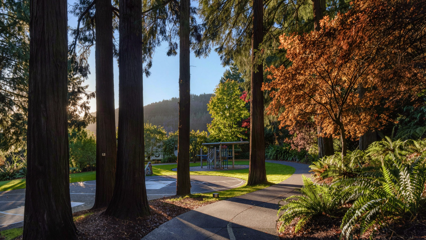
King County CitiesRenton June 17, 2026

Living in Fairwood, Renton WA | 2026 Neighborhood Guide

Fairwood is one of the few genuinely planned communities in south King County. It was developed primarily in the 1970s and 1980s with curving streets, consistent landscaping standards, and a golf course at its center. The vibe is Quiet Cul-de-Sac Community — orderly, green, and family-oriented. In 2026, Fairwood delivers classic suburban living at a price point well below comparable communities like Sammamish or Covington.

What Is It Actually Like to Live in Fairwood in 2026?

Fairwood is quiet and consistent. The curving streets reduce through-traffic. The mature tree canopy planted in the 1970s has fully filled in, giving the neighborhood a lush green quality even in winter. On weekday mornings the streets empty quickly after the school rush. The community has a strong HOA presence that keeps the common areas maintained and the entry features clean.

Weekends in Fairwood often revolve around home, yard, and family. The golf course creates a semi-open-space buffer through the middle of the neighborhood that makes it feel airier than communities with comparable density. Many residents walk the course perimeter trails or head to Soos Creek Trail for longer outings. There’s a small commercial area on Petrovitsky with restaurants and services that covers most casual weekend needs.

Fairwood draws classic suburban buyers: dual-income families with school-age children, move-up buyers from Kent or Renton’s more affordable areas, and some retirees who want HOA-managed common spaces without the maintenance burden. It’s a neighborhood that consistently attracts people who know exactly what they want.

Fairwood Golf and Country Club rolling fairways in Renton WA surrounded by mature Pacific Northwest trees, giving the planned community an open park-like feel
The Fairwood Golf and Country Club sits at the center of the community, creating permanent open space that gives the neighborhood its distinctive airy, park-like character.

Homes in Fairwood: What the Data Shows

Fairwood homes were built primarily from the mid-1970s through the late 1980s, with some infill from the 1990s. Square footage typically runs 1,500 to 2,800 sq ft on lots ranging from 7,000 to 12,000 sq ft. The predominant style is Pacific Northwest Traditional — two-story designs with attached garages, brick or wood accent exteriors, and mature foundation plantings. The consistency of the community’s design era means you’ll rarely see jarring architectural contrasts between homes on the same street. Many homes have been updated with modern kitchens, new flooring, and refreshed bathrooms — but original-condition homes still appear and offer room to build equity.

Market Pulse Fairwood / 98058 King County
Median Sales Price (May 2026) ~$640,000 ~$859,000
Median Days on Market ~25 days ~28 days
Active Listings Change (vs. Jan 2026) +28% +30%

Figures are approximate based on zip code 98058 activity. Verify current data at NWMLS.com.

Schools Serving Fairwood

Most of Fairwood falls within Kent School District. The primary pipeline is Fairwood Elementary, Northwood Middle School, and Lindbergh High School. Fairwood Elementary is a well-established neighborhood school with a long track record of strong parent participation. Northwood Middle offers solid STEM and arts pathways. Lindbergh High School is known for a competitive athletics program and strong dual-enrollment options through local colleges.

The school community in Fairwood is one of the reasons families keep choosing this neighborhood. The consistent HOA maintenance of the neighborhood’s appearance reinforces the community investment that flows through to school participation as well. That said, boundaries can shift — always verify your specific address directly with Kent School District before writing an offer.

Lindbergh High School serves a large geographic area that includes Fairwood, Soos Creek, and parts of southeast Renton. For families coming from other parts of King County, the school’s dual-enrollment options and athletics program are frequently cited as deciding factors in choosing Fairwood over comparable communities.

Getting to Work from Fairwood

SE Petrovitsky Road connects Fairwood west to SR-515, which branches north to I-405 and south to Kent and SR-167. From most of Fairwood, the Petrovitsky/515 intersection is about five minutes. Bellevue is 20 to 30 minutes north. Kent is 10 to 15 minutes south.

1970s to 1980s single-family home exterior in Fairwood Renton WA, classic planned community two-story home on curving residential street with HOA-maintained landscaping
Fairwood’s housing stock is primarily 1970s to 1980s Pacific Northwest Traditional construction, with many homes updated over the years and well-maintained by an active HOA community.
Destination Distance 2026 Peak AM Drive Transit Option
Downtown Seattle 19 miles 38 to 60 min SR-515 N to I-405 N to I-5 N
Amazon (Bellevue) 15 miles 22 to 40 min SR-515 N to I-405 N
Microsoft (Redmond) 24 miles 38 to 58 min I-405 N / Drive
SeaTac Airport 13 miles 18 to 30 min SR-515 N to SR-167 S

What I See as a Valuation Expert in Fairwood

Fairwood has an active HOA — actually multiple sub-associations within the larger community. Fees vary by sub-association but generally run $50 to $100 per month. Most goes toward maintaining common areas, entry monuments, and the community’s landscaping consistency. In Fairwood, verifying the HOA fee and reserve fund status always matters for valuation. Well-funded HOAs protect property values by preventing the visual degradation that happens in communities with deferred maintenance. Fairwood’s HOA is generally well-managed and that shows in the neighborhood’s consistent appearance.

Golf course adjacency matters here. Homes that back to the golf course or have views of the open fairway consistently appraise above comparable interior-lot homes. That premium runs $30,000 to $60,000 depending on the specific lot position and how much of the fairway is visible. The fairway-backing lots are the first to sell and the last to reduce price.

Long term, Fairwood is a stable, defensive hold. The HOA structure keeps community quality consistent even as individual homeowners turn over. The golf course open space is a permanent amenity that can’t be developed away. For buyers who want a 10-year hold with low management complexity, Fairwood delivers that reliably.

Frequently Asked Questions About Fairwood, Renton WA

Is Fairwood a good place to live?
Yes, especially if you want a classic planned community with HOA-maintained common areas, golf course open space, and consistent neighborhood quality. The trade-off is that HOA fees add $50 to $100 per month to housing costs, and commutes to Seattle are longer than from north Renton. For the right buyer, those trade-offs are well worth it.

What are homes like in Fairwood?
Primarily 1970s to 1980s Pacific Northwest Traditional construction — two-story homes on lots of 7,000 to 12,000 sq ft. Square footage runs 1,500 to 2,800 sq ft. Many have been updated. The community’s consistent design era means neighborhood curb appeal stays cohesive. Golf course-adjacent lots command a $30,000 to $60,000 premium.

What schools serve Fairwood?
Most of Fairwood is in Kent School District with a pipeline of Fairwood Elementary, Northwood Middle School, and Lindbergh High School. Always verify your specific address with Kent School District before writing an offer, as boundaries can vary.

How far is Fairwood from Seattle?
About 19 miles, with a peak AM drive of 38 to 60 minutes via SR-515 N to I-405 N to I-5 N. For Bellevue, the drive is 22 to 40 minutes — more manageable for Eastside commuters.

Explore Fairwood Yourself

Drive the main loop through Fairwood on a weekend morning. The curving streets, mature trees, and well-maintained homes tell the story quickly. Then find one of the trail access points near the golf course perimeter. You’ll see exactly what the community is about.

View Fairwood on Google Maps →

Your guide to life outside Seattle.

Gregory Dorrell | Coldwell Banker Bain | WA License #111862
253-350-0045  ·
greg@livingoutsideseattle.com  ·
www.livingoutsideseattle.com
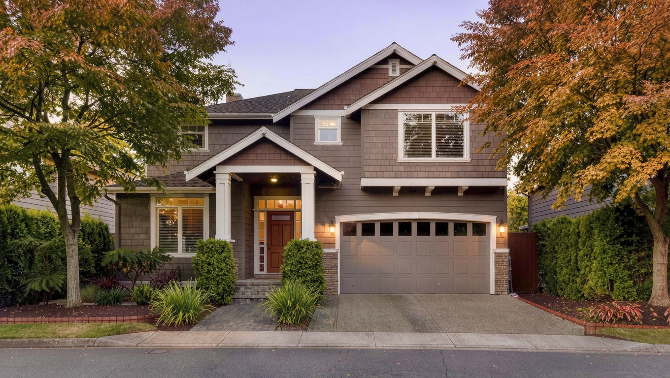
King County CitiesRenton June 15, 2026

Living in Cascade, Renton WA | 2026 Neighborhood Guide

The Cascade neighborhood wraps around the south and east slopes of Renton’s central plateau and delivers something few south Renton neighborhoods can — easy Cedar River Trail access combined with close freeway proximity. The vibe is Family-First Established with a practical, no-frills character. In 2026, Cascade is one of the best-priced neighborhoods in Renton for first-time buyers and investors who want access without paying Kennydale prices.

What Is It Actually Like to Live in Cascade in 2026?

Cascade is a practical neighborhood. It doesn’t have lake views or a dramatic hillside position, but it has solid bones — clean streets, good freeway access, and Cedar River Trail practically in the backyard for many residents. On weekday mornings it moves quickly. The 405 on-ramps are close, which means residents get on the freeway fast. The neighborhood is denser than Benson Hill or East Renton, but quieter than downtown Renton’s core.

Weekends often mean trail time. The Cedar River Trail runs from downtown Renton all the way to Maple Valley — roughly 17 miles of paved, flat trail that’s popular with cyclists, joggers, and families with strollers. Cascade residents can access it within a five-minute walk from most of the neighborhood. That’s a genuine amenity and one of the reasons this neighborhood holds appeal even at modest price points.

The buyer profile in Cascade is mixed: first-time buyers priced out of Kennydale, investors looking for rental income, and longstanding owner-occupants who bought in the 1990s and have no reason to leave. It’s a stable, no-drama neighborhood with consistent demand.

Cedar River Trail paved path through Cascade neighborhood of Renton Washington, flat trail along Cedar River with mature riparian trees.
The Cedar River Trail is accessible from multiple street ends in Cascade, offering 17 miles of flat, paved multi-use path toward Maple Valley.

Homes in Cascade: What the Data Shows

Cascade homes were primarily built between 1960 and 1990. Square footage typically ranges from 1,100 to 1,900 sq ft on standard Renton city lots of 5,500 to 8,000 sq ft. The styles are post-war ramblers and split-levels — utilitarian floor plans that work well for small families and couples. Many homes have been updated cosmetically over the years with new roofing and vinyl windows, though kitchens and baths in some properties remain in their original condition, which creates opportunity for buyers looking to add value through improvements. The neighborhood has a mix of owner-occupied and investor-owned homes.

Market Pulse Cascade / 98055 King County
Median Sales Price (May 2026) ~$575,000 ~$859,000
Median Days on Market ~26 days ~28 days
Active Listings Change (vs. Jan 2026) +27% +30%

Figures are approximate based on zip code 98055 activity. Verify current data at NWMLS.com.

Schools Serving Cascade

Cascade feeds into Renton School District. The typical pipeline is Cascade Elementary, Nelsen Middle School, and Renton High School. Cascade Elementary is a neighborhood anchor with a bilingual education program. Nelsen offers a STEM academy track for motivated middle schoolers. Renton High’s dual-enrollment partnership with Renton Technical College gives students a practical pathway toward technical credentials while finishing high school. The school pipeline is solid for the price point and consistently cited by residents as a strength of the neighborhood.

Getting to Work from Cascade

SR-169 runs along the neighborhood’s western edge and connects quickly to I-405. That interchange puts Bellevue about 15 minutes north and SeaTac about 15 minutes south. For downtown Seattle, 405 to I-5 north is the standard route.

1960s to 1980s single-family home exterior in Cascade Renton Washington, one or two-story home on standard city lot with updated landscaping.
Cascade homes run 1,100 to 1,900 sq ft on 5,500 to 8,000 sq ft lots, with many properties updated over the years while keeping solid post-war bones.
Destination Distance 2026 Peak AM Drive Transit Option
Downtown Seattle 12 miles 22 to 38 min I-405 N to I-5 N
Amazon (South Lake Union) 13 miles 25 to 45 min I-405 N to I-5 N
Microsoft (Redmond) 18 miles 28 to 45 min I-405 N / Stride S2 + Transfer
SeaTac Airport 8 miles 12 to 20 min I-405 S to SR-167 / SR-169

What I See as a Valuation Expert in Cascade

Cascade has no neighborhood-wide HOA. Individual lots stand on their own. In Cascade, the key variable in valuation is condition spread. Cascade has the widest condition range of any Renton neighborhood I regularly work in. You’ll see a fully remodeled 1,400 sq ft home backing to the Cedar River corridor appraising at $580,000 right next to an unimproved 1970s original appraising at $490,000. That spread creates real opportunity for buyers who are willing to put in work, but it also means condition-blind buyers can overpay if they’re not careful. I always tell buyers here: look at what the comps are, not just the list price.

The Cedar River Trail adjacency is a genuine value driver in this neighborhood. Homes with street-end trail access or lots that back toward the riparian buffer consistently command premiums of $20,000 to $40,000 over interior lots with no trail proximity. That premium persists because the supply is limited — only a handful of streets have genuine trail-adjacent positioning.

Long term, Cascade is a steady performer. It doesn’t lead appreciation in strong markets, but it’s durable in soft ones. The freeway access and trail amenity create a floor of demand that keeps it from softening as badly as more isolated neighborhoods. For a value investor or a first-time buyer with a 7 to 10 year horizon, the numbers work consistently here.

Frequently Asked Questions About Living in Cascade, Renton

How close is the Cedar River Trail from Cascade?

Very close. Most Cascade addresses are within a five-minute walk of a Cedar River Trail street-end access point. From there, the trail runs 17 flat paved miles toward Maple Valley. Trail-adjacent homes in Cascade consistently command premiums of $20,000 to $40,000 over interior lots.

Is Cascade a good neighborhood for first-time buyers?

Yes. Cascade offers some of the best entry-level pricing in Renton with a stable, durable demand floor driven by freeway access and trail amenity. Buyers who get a thorough inspection and buy with condition awareness typically do well here over a 7 to 10 year hold.

What schools serve the Cascade neighborhood?

Cascade falls within Renton School District. The typical pipeline is Cascade Elementary, Nelsen Middle School, and Renton High School. Always verify your specific address with Renton School District before writing an offer, as boundaries can shift.

Does Cascade have an HOA?

No neighborhood-wide HOA exists in Cascade. Individual lots stand on their own with no monthly dues. This is typical for the older single-family homes built here between 1960 and 1990.

Explore Cascade Yourself

Find a street-end trail access point along the Cedar River Trail in south Renton and walk east along the water. Then drive the residential streets on the hillside above. The combination of trail access and quiet neighborhood streets explains why buyers keep coming back here.

View Cascade on Google Maps →

Your guide to life outside Seattle.

Gregory Dorrell | Coldwell Banker Bain | WA License #111862
253-350-0045  ·
greg@livingoutsideseattle.com  ·
www.livingoutsideseattle.com
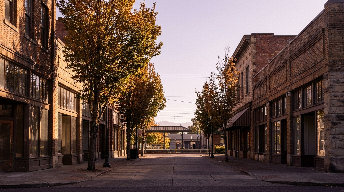
King County CitiesRenton June 13, 2026

Living in Benson Hill, Renton WA | 2026 Neighborhood Guide


Benson Hill is a large, spacious neighborhood in southeastern Renton with a history that’s separate from the rest of the city — it was unincorporated King County until Renton annexed it in 2008. That history shows in the wider lots, more varied housing stock, and quieter residential streets. The vibe is Family-First Established with a suburban feel that doesn’t feel crowded. In 2026, it offers some of the best lot-size-to-price ratios in all of Renton.

What Is It Actually Like to Live in Benson Hill in 2026?

Benson Hill has a neighborhood character that’s hard to define quickly — it’s diverse, community-oriented, and genuinely suburban without feeling cookie-cutter. On weekday mornings the residential streets are quiet by 8 a.m. after the school and commute rush clears out. The commercial strip along Benson Road S handles most everyday needs: restaurants, a grocery option, and small retail. But most serious shopping happens at Fred Meyer on Petrovitsky or in Kent a few minutes south.

Weekends are active. Soos Creek Trail draws residents for walks, bike rides, and jogs year-round. The trail system is long enough to give you a serious workout without ever repeating yourself. Many Benson Hill families have made the trail part of their weekly routine. The neighborhood also has good access to Spring Glen Park and Cascade View Park for shorter outdoor outings with kids.

Benson Hill buyers tend to be families looking for space, value, and a suburban lifestyle without the premium price of Sammamish or Issaquah. There’s also a strong contingent of buyers who work in Kent or Auburn — the south King County commute is easy from here.

Soos Creek Trail paved path in Renton Washington winding through mature Pacific Northwest forest with Douglas fir and cedar trees.
Soos Creek Trail runs just minutes from most Benson Hill addresses, providing a long paved multi-use path through mature Pacific Northwest forest.

Homes in Benson Hill: What the Data Shows

Benson Hill homes were largely built between 1975 and 2005. Square footage typically runs from 1,400 to 2,600 sq ft. Lots range from 7,500 sq ft up to a third of an acre — noticeably larger than the Renton city core average. The housing variety here is real: you’ll find split-levels, two-story colonials, ramblers, and some newer two-story Craftsman-style builds from the 2000s. The neighborhood doesn’t have a single dominant architectural style, which gives it a less manufactured feel than planned communities like Fairwood. Most homes have attached two-car garages and mature landscaping that’s had 20 to 40 years to fill in.

Market Pulse Benson Hill / 98058 King County
Median Sales Price (May 2026) ~$590,000 ~$859,000
Median Days on Market ~25 days ~28 days
Active Listings Change (vs. Jan 2026) +29% +30%

Figures are approximate based on zip code 98058 activity. Verify current data at NWMLS.com.

Schools Serving Benson Hill

The northern part of Benson Hill feeds into Renton School District, with Benson Hill Elementary, Nelsen Middle School, and Hazen High School as the typical pipeline. The southern portion of the neighborhood may assign to Kent School District — always verify your specific address with the relevant district before writing an offer. The boundary runs through the neighborhood and matters significantly for buyers with school-age children.

Getting to Work from Benson Hill

Benson Hill connects to the broader highway network via SE Petrovitsky Road to SR-515, which links north to I-405 (Bellevue direction) and south to Kent and SR-167. The commute to Bellevue typically runs 20 to 30 minutes. South to Kent is 10 to 15 minutes.

1970s to 1990s two-story single-family home exterior in Benson Hill Renton Washington with mature landscaping and composite siding.
Benson Hill homes run 1,400 to 2,600 sq ft on lots from 7,500 sq ft up to a third of an acre, with 20 to 40 years of mature landscaping.
Destination Distance 2026 Peak AM Drive Transit Option
Downtown Seattle 15 miles 25 to 42 min I-405 N to I-5 N
Amazon (South Lake Union) 16 miles 28 to 48 min I-405 N to I-5 N
Microsoft (Redmond) 19 miles 30 to 48 min I-405 N / Stride S2 + Transfer
SeaTac Airport 9 miles 14 to 22 min I-405 S to I-5 S

What I See as a Valuation Expert in Benson Hill

Benson Hill is a no-HOA neighborhood for the most part — most homes sit on individual lots with full owner control. In Benson Hill, the biggest differentiator for valuation is the school district boundary. Homes in the Renton School District north section and homes in the Kent School District south section appraise differently because buyer demand differs. Families targeting specific schools tend to be concentrated on particular streets — that demand concentration drives prices up on those particular streets. I call this out to lenders when I’m selecting comparables, and buyers should factor it into their search criteria too.

The landscaping maturity across Benson Hill is above average. Most homes have been here long enough for foundation plantings to fill in and backyard trees to reach real canopy height. That visual quality shows up in appraisals as a positive curb appeal factor. Homes that have also been updated with new roofing, windows, or exterior paint in the last decade are pulling away from the unimproved originals in this market.

Long term, Benson Hill benefits from its south King County positioning. As Kent and south Renton continue to attract investment and as the 405 corridor improves with Stride BRT, Benson Hill’s location between both centers gives it flexibility that more northern neighborhoods don’t have. I think of it as one of the underappreciated corridors in south King County.

Frequently Asked Questions About Living in Benson Hill, Renton

Which school district does Benson Hill belong to?

Benson Hill is split between Renton School District (northern portion) and Kent School District (southern portion). The boundary runs through the neighborhood. Always verify your specific address with the relevant district before writing an offer. The school district can significantly affect comparable sales values in this area.

What are the lot sizes like in Benson Hill?

Benson Hill lots run 7,500 sq ft up to a third of an acre, which is noticeably larger than the Renton city core average. Many homes have flat, usable backyards with mature tree canopy. Usable lot area is one of the most important value drivers in the neighborhood and a key reason families choose Benson Hill over more expensive suburban options.

How is Soos Creek Trail access from Benson Hill?

Very good. Soos Creek Trail is accessible within a few minutes of most Benson Hill addresses. The trail runs through mature Pacific Northwest forest and offers long paved routes for walking, running, and cycling year-round. It’s one of the top lifestyle amenities for residents and a factor in the neighborhood’s sustained demand.

Is Benson Hill a good value compared to Sammamish or Issaquah?

Yes, significantly. Benson Hill delivers comparable lot sizes and suburban character at $200,000 to $300,000 below comparable Sammamish or Issaquah addresses. The trade is a longer commute to Eastside tech campuses and a different school district profile. If you prioritize space and value, it’s one of the stronger arguments in south King County.

Explore Benson Hill Yourself

Drive SE Petrovitsky Road east from SR-515 and turn into the neighborhood streets. The lot sizes and mature trees are immediately visible. Then find the Soos Creek Trail access and walk a half-mile in either direction.

View Benson Hill on Google Maps →

Your guide to life outside Seattle.

Gregory Dorrell | Coldwell Banker Bain | WA License #111862
253-350-0045  ·
greg@livingoutsideseattle.com  ·
www.livingoutsideseattle.com
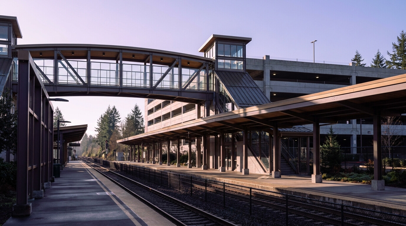
King County CitiesRenton June 11, 2026

Living in East Renton WA | 2026 Neighborhood Guide


East Renton is where Renton gets quiet and spread out. This is the eastern edge of the city — bigger lots, more trees, and a semi-rural feel that’s genuinely different from the rest of Renton. The vibe is Quiet Cul-de-Sac Community. Many homes here back to wooded buffers or sit on parcels large enough to feel private. In 2026, East Renton is drawing buyers who want Renton’s location and access but don’t want to feel like they’re living in a dense suburb.

What Is It Actually Like to Live in East Renton in 2026?

East Renton mornings have a decidedly suburban edge. Most residents leave early — the drive to 405 takes about 10 minutes and there are no shortcuts. But the trade-off is real. You’re getting space, privacy, and quiet that doesn’t exist in the western parts of the city. Weekday mornings on the residential streets feel calm. The neighborhood doesn’t have the stop-and-go school traffic you find in denser areas.

Weekends pull residents onto the trail systems around Soos Creek and toward Maple Valley. The SR-169 corridor also makes it easy to reach Lake Wilderness in Maple Valley or hop down to Black Diamond for a genuinely rural day trip. The larger lots mean room for trampolines, vegetable gardens, and basketball hoops — the things that get sacrificed in urban infill neighborhoods.

East Renton buyers tend to be families — specifically those who prioritize Issaquah School District (which covers a portion of East Renton) and want more land than central Renton offers. You’ll also find a contingent of buyers who work from home and want a quieter residential environment without moving all the way to Maple Valley.

Maplewood Golf Course in Renton Washington with rolling green fairways bordered by mature Douglas fir trees.
Maplewood Golf Course borders East Renton and provides a park-like open space buffer that residents can walk or play year-round.

Homes in East Renton: What the Data Shows

East Renton’s housing stock is primarily 1980s and 1990s single-family construction, with some newer pockets from the 2000s and 2010s. Square footage typically runs from 1,600 to 3,000 sq ft. Lots range from 8,000 sq ft to a quarter-acre or more — meaningfully larger than the Renton city average. Architectural styles lean toward split-level and two-story Pacific Northwest Traditional designs. Garages are standard. Many homes have room for RV or boat storage, which is hard to find closer to the urban core. The general condition of the housing stock is solid — most properties have had at least one significant update over their lifetimes and are in good move-in condition.

Market Pulse East Renton / 98059 King County
Median Sales Price (May 2026) ~$680,000 ~$859,000
Median Days on Market ~21 days ~28 days
Active Listings Change (vs. Jan 2026) +24% +30%

Figures are approximate based on zip code 98059 activity. Verify current data at NWMLS.com.

Schools Serving East Renton

School district assignment in East Renton depends on your exact address. The western portion feeds into Renton School District with Maplewood Heights Elementary, McKnight Middle School, and Hazen High School as the typical pipeline. The eastern portion may fall within Issaquah School District boundaries. For Issaquah-assigned homes, always verify your specific address with the district before going under contract. If Issaquah School District is a priority, confirm assignment early — it’s one of the most important value drivers in the neighborhood.

Getting to Work from East Renton

SR-169 (Maple Valley Highway) is the primary artery out of East Renton. Head north on 169 to reach 405 and the rest of the King County job corridor. The drive to 405 is about 10 minutes from most of East Renton. That’s the honest trade-off for the extra space and quiet.

1980s to 2000s two-story Pacific Northwest single-family home exterior in East Renton Washington with attached garage on a cul-de-sac lot.
East Renton homes typically run 1,600 to 3,000 sq ft on 8,000 sq ft to quarter-acre lots, with garages and mature evergreen landscaping as standard features.
Destination Distance 2026 Peak AM Drive Transit Option
Downtown Seattle 15 miles 28 to 45 min I-405 N to I-5 N
Amazon (South Lake Union) 16 miles 30 to 50 min I-405 N to I-5 N
Microsoft (Redmond) 15 miles 22 to 38 min I-405 N / SR-169 to I-90
SeaTac Airport 12 miles 18 to 28 min I-405 S to SR-167

What I See as a Valuation Expert in East Renton

East Renton is a mixed HOA landscape. Some subdivisions have active HOAs with fees ranging from $50 to $150 per month — mostly managing common landscaping or shared entry features. Others have no HOA at all. In East Renton, lot depth and usability carry real weight in valuation. A quarter-acre lot that’s 80% slope has very different utility — and appraisal value — than a flat quarter-acre with a usable backyard. Don’t assume lot size alone tells the story here. Always look at the topographic context.

The Issaquah School District boundary is the most important value driver in East Renton. Homes inside the Issaquah boundary consistently appraise 8 to 12% higher than comparable homes just outside it in the Renton School District zone. That premium is durable because the school quality differential is real and well-known. When I’m pulling comps for a lender on an East Renton home, the first thing I check is the district boundary before I select any comparables.

Long term, East Renton benefits from being the city’s semi-rural transition zone. As Renton densifies toward its urban core, properties with larger lots on the eastern edge hold relative scarcity value. You can’t replicate a 12,000 sq ft lot with wooded backyard in north Renton for the same price, and as the county grows, that difference should matter more, not less.

Frequently Asked Questions About Living in East Renton

Does East Renton have Issaquah School District access?

Some East Renton addresses fall within Issaquah School District — specifically the eastern portions closer to SR-169 and toward Maple Valley Highway. This matters significantly for values: Issaquah-assigned homes appraise 8 to 12% higher than comparable Renton-assigned homes nearby. Always verify your specific address with the district before writing an offer.

What are the lot sizes like in East Renton?

East Renton lots typically run 8,000 sq ft to a quarter-acre or more — meaningfully larger than Renton’s urban core average. Many homes have room for RV or boat storage. Usable lot area is critical: always verify topography and easements before assuming that lot size equals usable space.

How far is East Renton from I-405?

About 10 minutes from most East Renton addresses via SR-169 north to the 405 interchange. That’s the honest commute trade for the extra space and quiet — not zero, but manageable for buyers who prioritize lifestyle over a faster onramp.

Is East Renton a good value compared to Maple Valley?

East Renton and Maple Valley are close in price for comparable lot sizes, but East Renton sits closer to the 405 job corridor and Renton’s commercial amenities. For buyers who want a semi-rural feel without committing to the full Maple Valley distance, East Renton tends to be the stronger practical choice.

Explore East Renton Yourself

Drive SR-169 south from Renton’s urban core and turn east into the residential streets. Notice how quickly the neighborhood opens up into larger lots and longer driveways. That transition happens fast and tells you exactly what makes East Renton different.

View East Renton on Google Maps →

Your guide to life outside Seattle.

Gregory Dorrell | Coldwell Banker Bain | WA License #111862
253-350-0045  ·
greg@livingoutsideseattle.com  ·
www.livingoutsideseattle.com
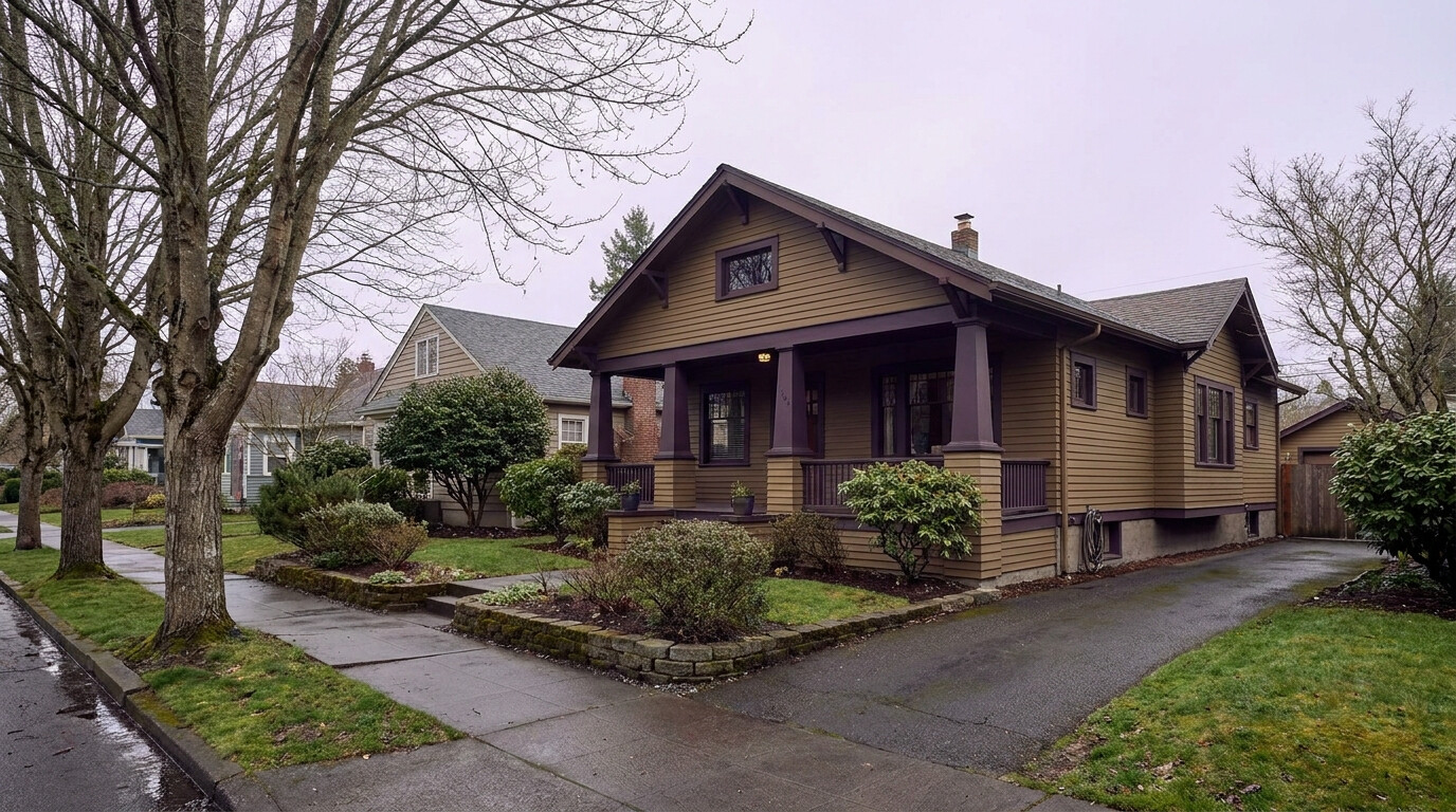
King County CitiesRenton June 9, 2026

Living in Talbot Hill, Renton WA | 2026 Neighborhood Guide


Talbot Hill offers some of the best views in Renton at a price below what you’d pay in Kennydale. The neighborhood rises south of downtown Renton and faces north — giving most homes a direct sightline to the valley, the Olympic Mountains, and Mount Rainier on clear days. The vibe is Family-First Established with character homes and a quiet, hillside feel. In 2026, it’s an undervalued part of the city that buyers who do their homework keep finding.

What Is It Actually Like to Live in Talbot Hill in 2026?

Talbot Hill has an elevated, tucked-away feel that residents love. The streets wind up and around the hillside, away from the bustle of Renton’s valley floor. On a weekday morning it’s genuinely quiet up here. Commuters leave by 7:30 and the neighborhood settles into a peaceful mid-morning calm. The Talbot Ridge Natural Area is accessible from several street-end trails, and locals use it for dog walks and trail runs throughout the year.

Weekends on Talbot Hill tend to revolve around home and garden. The lots are generous and the gardening culture is strong — you’ll see well-maintained flower beds and vegetable gardens on nearly every block in the spring and summer. Cedar River Trail is a five-minute drive or bike ride away for those who want longer recreational routes.

Talbot Hill draws buyers who want views and quiet but don’t want to pay Kennydale prices. Many are empty nesters who’ve downsized from larger homes, professionals who work from home and value the peaceful setting, and value-oriented buyers who want the south Renton location without the Kennydale competition. It has a slower, more deliberate pace than the rest of Renton.

Talbot Hill Reservoir Park open space in Renton Washington with large grass field, mature tree border, and territorial valley views.
Talbot Hill Reservoir Park offers open space and territorial views across the Renton valley, just a short walk from most hillside addresses.

Homes in Talbot Hill: What the Data Shows

Talbot Hill homes were mostly built between 1960 and 1995. Square footage typically runs 1,400 to 2,400 sq ft on lots ranging from 7,500 to 12,000 sq ft — larger than the Highlands average. Architectural styles are mostly Pacific Northwest Traditional and split-level designs. The hillside lots mean many homes have walk-out lower levels, daylight basements, and multi-story decks that take advantage of the views. Homes with northern or western exposure and clear valley views consistently out-perform interior lots. Many properties have been updated over the years, though there are still plenty of original-condition homes that offer good equity upside for buyers willing to invest in improvements.

Market Pulse Talbot Hill / 98055 King County
Median Sales Price (May 2026) ~$650,000 ~$859,000
Median Days on Market ~20 days ~28 days
Active Listings Change (vs. Jan 2026) +22% +30%

Figures are approximate based on zip code 98055 activity. Verify current data at NWMLS.com.

Schools Serving Talbot Hill

Talbot Hill is served by Renton School District. Primary school assignments are Talbot Hill Elementary, Nelsen Middle School, and Renton High School. Talbot Hill Elementary is a longstanding neighborhood anchor with a community-oriented reputation. Nelsen offers a STEM academy pathway. Renton High’s dual-enrollment program with Renton Technical College gives students practical career-ready credentials alongside their high school diploma. Families moving to this part of Renton appreciate having a true neighborhood elementary school that’s walkable from most of the hillside streets.

Getting to Work from Talbot Hill

Talbot Road S drops quickly from the hill to the 405/167 interchange. From there, Bellevue is about 15 minutes north and SeaTac is 15 minutes south. For downtown Seattle, most residents take Talbot Road to 405 north to I-5 north.

1960s to 1980s two-story single-family home exterior on hillside lot in Talbot Hill Renton Washington with view deck and mature landscaping.
Many Talbot Hill homes feature view decks and daylight basements that take advantage of the hillside lot positions and territorial sightlines.
Destination Distance 2026 Peak AM Drive Transit Option
Downtown Seattle 12 miles 22 to 38 min I-405 N to I-5 N
Amazon (South Lake Union) 13 miles 25 to 42 min I-405 N to I-5 N
Microsoft (Redmond) 18 miles 28 to 45 min I-405 N / Stride S2 + Transfer
SeaTac Airport 8 miles 12 to 20 min I-405 S to SR-167

What I See as a Valuation Expert in Talbot Hill

Talbot Hill has no HOA. That’s consistent with most of Renton’s older hillside neighborhoods. In Talbot Hill, the single biggest value driver is view exposure. A home on the upper bench with a clear valley view will appraise meaningfully above a home two streets lower with no view, even if the floor plans and conditions are identical. I’ve seen that difference run $50,000 to $90,000 on a single block depending on elevation and tree encroachment. Buyers who target the upper bench streets generally get the best combination of views and lot size.

The mature landscaping here adds genuine value. Many homes have well-established foundation plantings, mature rhododendrons, and towering Douglas firs in the backyard. That visual depth and privacy buffer is something you can’t replicate in a newer neighborhood. It shows up in appraisals as a positive contribution to curb appeal and marketability.

My long-term read on Talbot Hill is that it’s undervalued relative to its view quality. Buyers regularly skip it for Kennydale without realizing the view from the upper bench here rivals what Kennydale delivers at a lower price. As more buyers do that comparison, the gap should narrow. For a 10-year hold, Talbot Hill looks like a quiet winner.

Frequently Asked Questions About Living in Talbot Hill, Renton

What are the views like from Talbot Hill?

From the upper bench streets, Talbot Hill delivers direct territorial views across the Renton valley toward the Olympic Mountains and Mount Rainier on clear days. The best view positions are above the midpoint of Talbot Road S on streets that face north and west. The view premium on these lots runs $40,000 to $80,000 above comparable interior-facing homes on the same street.

How does Talbot Hill compare to Kennydale?

Talbot Hill typically prices $50,000 to $100,000 below comparable Kennydale addresses for similar square footage and lot size. The upper bench views in Talbot Hill are genuinely competitive with Kennydale views. The main difference is that Kennydale offers lake access and Lake Washington proximity, while Talbot Hill offers valley and mountain views from a quieter hillside setting.

What schools serve Talbot Hill?

Talbot Hill is served by Renton School District. The typical pipeline is Talbot Hill Elementary, Nelsen Middle School, and Renton High School. Talbot Hill Elementary is a walkable neighborhood school — a genuine rarity in south Renton. Always verify your specific address with the district before writing an offer.

Is there an HOA in Talbot Hill?

No. Talbot Hill is a no-HOA neighborhood. Individual homeowners have full control of their properties with no monthly dues. This is consistent with most of Renton’s older hillside neighborhoods from this era.

Explore Talbot Hill Yourself

Drive Talbot Road S up to the upper bench and park. Walk toward Talbot Ridge Natural Area. The combination of quiet streets, mature trees, and valley views tells the whole story.

View Talbot Hill on Google Maps →

Your guide to life outside Seattle.

Gregory Dorrell | Coldwell Banker Bain | WA License #111862
253-350-0045  ·
greg@livingoutsideseattle.com  ·
www.livingoutsideseattle.com
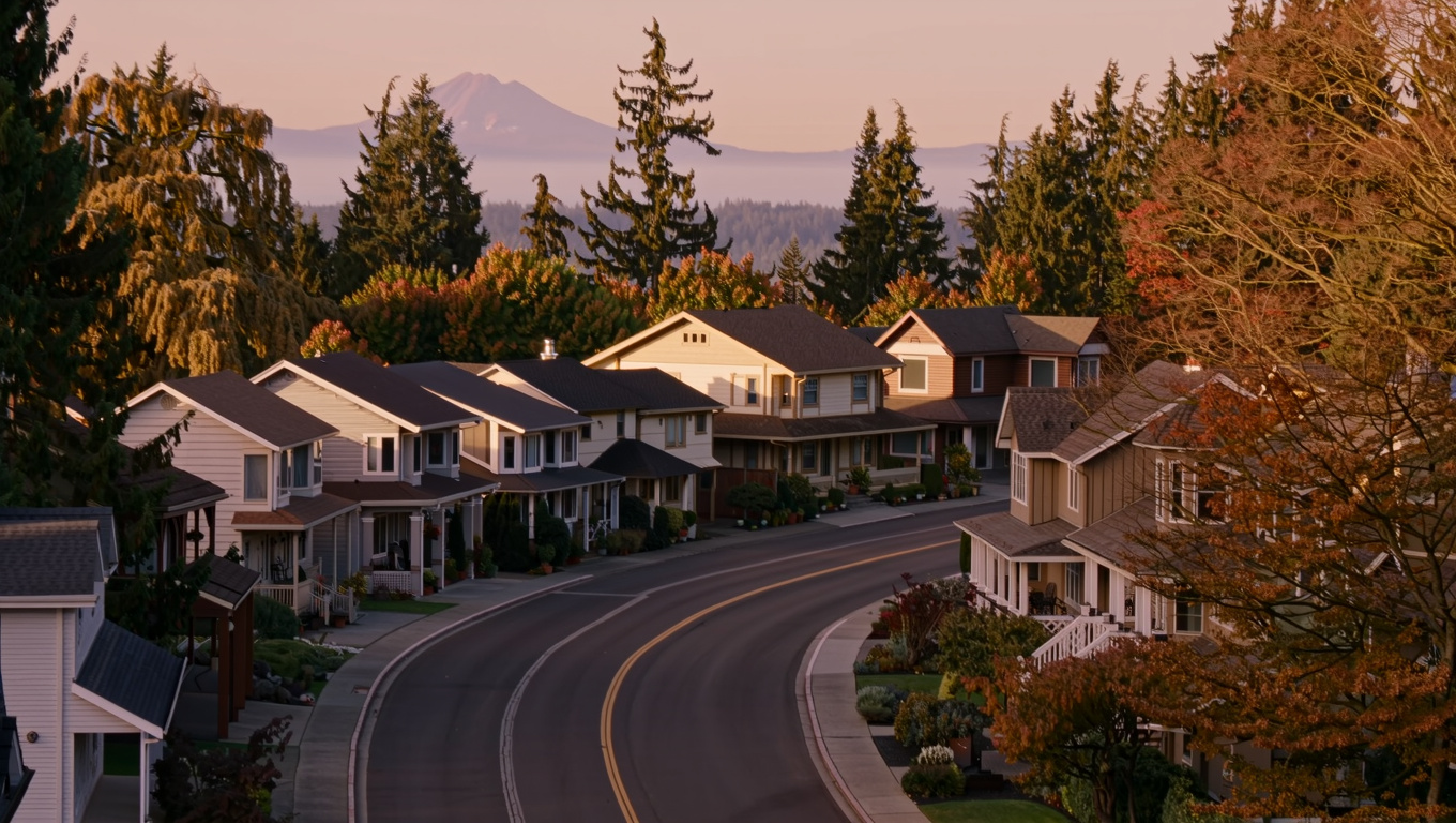
King County CitiesRenton June 7, 2026

Living in Renton Highlands WA | 2026 Neighborhood Guide

Renton Highlands is where affordability meets Cascade views. This large plateau neighborhood sits east of downtown Renton and delivers wide mountain sightlines on clear days. The vibe is Family-First Established with working-class roots and a strong sense of community. In 2026, it’s one of the most affordable neighborhoods in north Renton, and buyers are taking notice.

What Is It Actually Like to Live in Renton Highlands in 2026?

The Highlands feels like a real neighborhood — the kind where people know their neighbors and kids still play outside. On weekday mornings the streets are busy with school traffic and commuters heading to 405. By 9 a.m. it quiets down. The commercial strip along NE 4th Street handles most daily errands without ever needing to drive to Renton’s urban core.

Weekends in the Highlands center around the parks and the community. Highlands Neighborhood Park has a community center, a spray pad for kids, and fields that host youth soccer and baseball leagues throughout the spring and summer. The Renton Farmers Market isn’t far — just a short drive downtown on Saturdays from May through October.

The Highlands draws a wide mix of buyers. You’ll find longtime owners who bought in the 1990s and have no plans to leave, first-generation homeowners, and young families priced out of Kennydale who want the plateau location without the Kennydale price tag. It’s one of the most diverse and community-oriented neighborhoods in the city.

Highlands Neighborhood Park in Renton Washington with open grass fields, mature trees, and community center building.
Highlands Neighborhood Park anchors community life with sports fields, a spray pad, and year-round programming for all ages.

Homes in Renton Highlands: What the Data Shows

Most Highlands homes were built between 1950 and 1980, with significant infill construction through the 2000s. Square footage typically ranges from 1,100 to 2,200 sq ft on city-standard lots of 6,000 to 8,500 sq ft. The dominant styles are post-war ramblers, split-level homes, and updated ranch-style builds. Many properties have been improved over the years with new roofs, updated kitchens, and vinyl windows. There’s also a noticeable pocket of newer construction on the eastern edges of the Highlands where infill lots were developed in the 2010s — these newer homes stand out for their energy efficiency and modern floor plans.

Market Pulse Renton Highlands / 98059 King County
Median Sales Price (May 2026) ~$620,000 ~$859,000
Median Days on Market ~24 days ~28 days
Active Listings Change (vs. Jan 2026) +28% +30%

Figures are approximate based on zip code 98059 activity. Verify current data at NWMLS.com.

Schools Serving Renton Highlands

Renton Highlands is served by Renton School District. The main feeder schools are Highlands Elementary, McKnight Middle School, and Hazen High School. Highlands Elementary has a well-regarded after-school program and strong community ties. McKnight offers elective depth including arts and technology tracks. Hazen High carries solid AP offerings and a dual-enrollment partnership with Renton Technical College that gives seniors a head start on post-secondary credentials. For a neighborhood at this price point, the school pipeline is a real asset.

Getting to Work from Renton Highlands

The NE 4th Street corridor connects the Highlands directly to I-405 in about five minutes. From there, north to Bellevue or south to SeaTac are both straightforward. For Redmond or the Eastside tech corridor, 405 northbound is the primary route.

1960s to 1980s single-family home exterior in Renton Highlands Washington, one-story rambler with composite siding and mature landscaping.
Renton Highlands homes typically run 1,100 to 2,200 sq ft on 6,000 to 8,500 sq ft lots, with post-war ramblers and split-levels as the dominant styles.
Destination Distance 2026 Peak AM Drive Transit Option
Downtown Seattle 13 miles 25 to 40 min I-405 N to I-5 N
Amazon (South Lake Union) 15 miles 30 to 50 min I-405 N to I-5 N
Microsoft (Redmond) 16 miles 25 to 40 min I-405 N / Stride S2 + Transfer
SeaTac Airport 11 miles 18 to 28 min I-405 S to SR-167

What I See as a Valuation Expert in Renton Highlands

The Highlands has no city-wide HOA. Most homes sit on individual fee-simple lots with no monthly dues. That’s a plus for buyers who want full control of their property and no HOA budget risk. In Renton Highlands, two things carry the most weight in valuation: condition and lot utility. The Highlands has a wide range of condition — from fully remodeled homes that compete with Kennydale to deferred-maintenance properties that need real investment. The gap between best and worst condition in a single block can be $80,000 or more on the appraisal. Buyers need to be careful not to overpay for a flip that was cosmetically updated but didn’t address the bones.

What I notice when I walk the Highlands is that the eastern edges near the newer infill construction hold value better than the original 1950s core near Sunset Blvd. The newer homes have better energy performance, larger floor plans, and less deferred maintenance risk. They also tend to be the ones that move fastest when the market softens.

The long-term case for the Highlands is about affordability persistence. As King County prices keep rising, this neighborhood functions as the entry point for buyers who want Renton but can’t reach Kennydale. That floor demand is durable. The Highlands won’t lead appreciation, but it won’t crater either. For first-time buyers and value-focused investors, it offers consistent, if modest, long-term returns.

Frequently Asked Questions About Living in Renton Highlands

Is there an HOA in Renton Highlands?

No neighborhood-wide HOA exists in Renton Highlands. Most homes sit on individual fee-simple lots with full owner control and no monthly dues. This is a plus for buyers who want to avoid HOA budget risk and restrictions on their property.

What are the Cascade views like from Renton Highlands?

On clear days, the eastern edges of Renton Highlands deliver direct sightlines to the Cascade Range. Homes on the eastern bench with unobstructed view corridors consistently command premiums of $25,000 to $50,000 over equivalent homes two streets west with no view. The best view positions are on streets closer to the eastern infill edge.

What schools serve Renton Highlands?

Renton Highlands feeds into Renton School District. The typical pipeline is Highlands Elementary, McKnight Middle School, and Hazen High School. Hazen carries solid AP offerings and a dual-enrollment partnership with Renton Technical College. Always verify your specific address with the district before writing an offer, as boundary lines can shift.

How does Renton Highlands compare to Kennydale for buyers?

Renton Highlands typically runs $100,000 to $150,000 below comparable Kennydale homes on a like-for-like basis. You get similar plateau access and freeway proximity, but without the lake views Kennydale commands. For buyers who prioritize space and value over water views, the Highlands is the smarter financial choice.

Explore Renton Highlands Yourself

Drive NE 4th Street from 405 east to the Highlands commercial strip, then wind through the residential streets on a weekend morning. The community feel is real and immediate.

View Renton Highlands on Google Maps →

Your guide to life outside Seattle.

Gregory Dorrell | Coldwell Banker Bain | WA License #111862
253-350-0045  ·
greg@livingoutsideseattle.com  ·
www.livingoutsideseattle.com
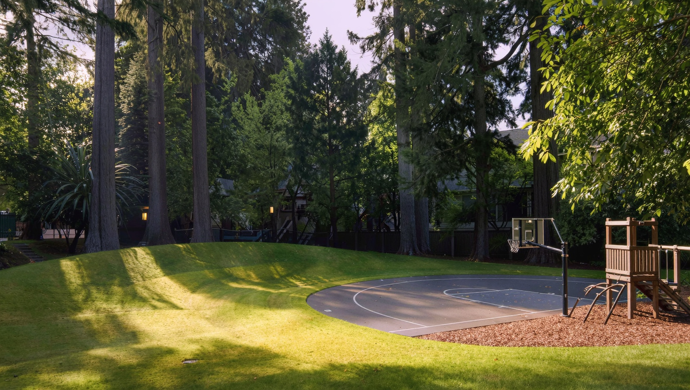
King County CitiesSouth King County June 5, 2026

Living in Renton WA | 2026 Real Estate & Neighborhood Guide

Why Renton Stands Out in 2026

King County’s median home price sat at about $1 million in July 2026. Renton’s median ran closer to $810,000. That is a real gap. You get location without the Bellevue price tag, and right now inventory across King County is up about 31% from last year. Buyers in Renton have more homes to look at, more time to think, and more room to negotiate. Most people buying here are working professionals, Boeing and Amazon employees, and if you want good schools without paying for a Bellevue zip code.

Renton has a feel that is hard to find anywhere else in King County. Lake Washington sits to the northwest. The Cedar River runs through downtown. On a clear day, Mount Rainier frames itself perfectly from the Highlands. The 405 runs right through the city, so Bellevue is 15 minutes away on a good morning. Boeing’s Renton Factory, where 737s roll off the line, sits along the lake and is part of the city’s identity. So are the trail systems along the Cedar River, and a downtown that has been quietly improving for the past decade. This is a working city that has grown into something genuinely livable.

Quiet residential street in Renton WA with mature trees and craftsman homes, King County Washington
A quiet residential street in Renton, Washington, lined with mature Pacific Northwest trees and well-maintained homes.

Commute Times from Renton

Renton’s transit picture improved significantly when the Stride S2 Bus Rapid Transit line launched service along the 405 corridor. The S2 connects Renton to Bellevue and Lynnwood with a stop at South Renton Transit Center. For Link Light Rail, the Rainier Beach Station on Line 1 is about 10 minutes north and gives you a car-free connection to downtown Seattle and Sea-Tac. Most Renton residents still drive to work, but the options are better now than they have ever been.

Destination Distance 2026 Peak Commute (AM Drive) Transit Option
Downtown Seattle 12 miles 25 to 45 min I-405 N to I-5 N / Drive
Amazon (South Lake Union) 14 miles 30 to 50 min I-405 N + I-5 N / Drive
Microsoft (Redmond) 18 miles 30 to 50 min I-405 N / Stride S2 + Transfer
Bellevue Tech Corridor 10 miles 15 to 30 min I-405 N / Stride S2
SeaTac Airport 9 miles 15 to 25 min I-405 S to SR-167 / Link Light Rail via Rainier Beach

Drive times reflect typical AM peak conditions. Transit times include walk and wait. Always check Google Maps before your first commute day.

Cedar River Trail path through Renton WA with Douglas fir forest canopy, King County Washington
The Cedar River Trail connects Renton’s neighborhoods from downtown through Douglas fir forest all the way to Maple Valley.

Neighborhoods in Renton: A Quick Look

Renton is a big city with a lot of distinct neighborhoods. Each one has its own price range, vibe, and school profile. Below is a quick overview of the 9 neighborhoods covered in this guide. Each summary links to a full deep-dive post.

Kennydale

Kennydale sits on a hillside above Lake Washington in north Renton and is one of the most sought-after areas in the city. Homes range from 1960s ramblers to newer two-story builds, typically 1,500 to 2,800 sq ft on lots between 6,000 and 10,000 sq ft. Many homes have territorial views of the lake and the Seattle skyline. Kennydale feeds into Renton School District, with Kennydale Elementary carrying a strong reputation for parent involvement. The neighborhood borders Gene Coulon Park, giving residents easy access to Lake Washington shoreline, swimming, and boat launches. It tends to hold value well because of the views and the lake access.

Read our full deep-dive on Kennydale →

Renton Highlands

The Highlands is one of Renton’s largest and most diverse neighborhoods, sitting on a plateau east of downtown with wide Cascade views on clear days. Housing ranges from 1950s and 1960s ranchers to newer infill construction, typically 1,100 to 2,200 sq ft on mid-size lots. This is a working-class neighborhood with strong community roots and a mix of longtime owners and newer arrivals drawn by relative affordability. Renton School District serves the area with Highlands Elementary as the core school. The neighborhood has a community center, parks, and easy access to I-405. For buyers who want space and value over prestige, the Highlands delivers both.

Read our full deep-dive on Renton Highlands →

Talbot Hill

Talbot Hill rises just south of downtown Renton and offers some of the best views in the city: Rainier, the valley, and on clear days the Olympic Mountains. This is a quiet, established neighborhood with mostly single-family homes from the 1960s through 1990s, typically 1,400 to 2,400 sq ft on generous lots. Many properties have been updated over the years, making this a solid spot for buyers who want character homes with equity upside. Renton School District serves the area with Talbot Hill Elementary as the neighborhood anchor. Talbot Ridge Natural Area gives hikers a wooded escape right in the neighborhood. Prices here often come in under Kennydale while delivering comparable city views.

Read our full deep-dive on Talbot Hill →

East Renton

East Renton is a transitional neighborhood, part suburb and part semi-rural, sitting on the eastern edge of the city and bordering unincorporated King County and Maple Valley territory. Homes here are often larger and on bigger lots, think 1,600 to 3,000 sq ft on parcels ranging from 8,000 sq ft to a quarter-acre. Many properties were built in the 1980s and 1990s. Buyers get more land for the money here than almost anywhere else in Renton proper. Issaquah School District serves portions of East Renton, which is a major draw for families. Maple Valley Highway connects residents south to Maple Valley and north to Renton’s urban core.

Read our full deep-dive on East Renton →

Benson Hill

Benson Hill was unincorporated King County until Renton annexed it in 2008. That history shows in the housing stock: larger lots, more variety in home styles, and a quieter feel compared to the urban core. Homes typically run 1,400 to 2,600 sq ft on lots up to a third of an acre, with a strong sense of community and a diverse mix of residents. Kent School District serves the southern part of Benson Hill and Renton School District covers the northern section, so school assignment depends on your exact address. Soos Creek Trail is nearby, offering miles of paved trail for cycling and walking.

Read our full deep-dive on Benson Hill →

Cascade

The Cascade neighborhood wraps around the south and east slopes of Renton’s central plateau. It’s a mid-density residential area with a solid mix of 1960s to 1980s single-family homes and some attached housing, typically 1,100 to 1,900 sq ft on standard city lots. Cascade feeds into Renton School District and has good access to SR-169 and I-405. The Cedar River Trail runs near the neighborhood’s western edge, making it easy to walk or bike to downtown. Cascade tends to attract first-time buyers and investors because prices remain below Kennydale and Talbot Hill.

Read our full deep-dive on Cascade →

Fairwood

Fairwood is a planned community in the southeastern corner of Renton, developed primarily in the 1970s and 1980s with curving streets, mature trees, and a strong homeowners association presence. Homes typically run 1,500 to 2,800 sq ft on well-maintained lots, with a classic suburban feel: safe, green, and consistent. Kent School District serves most of Fairwood, with Fairwood Elementary and Lindbergh High School as the primary assignments. The Fairwood Golf Course sits in the heart of the community and gives the area an open, park-like feel. Fairwood consistently attracts families looking for a classic suburban experience at a price below Sammamish or Covington.

Read our full deep-dive on Fairwood →

May Valley

May Valley is the quiet edge of Renton, sitting in the valley between Renton and Issaquah and bordered by Cougar Mountain Regional Wildland Park to the south. This is where Renton gets genuinely semi-rural. Homes are often on larger parcels, a quarter acre up to multiple acres, with privacy, trees, and room to breathe. Architectural styles range from 1970s split-levels to newer custom builds, typically 1,600 to 3,500 sq ft. Issaquah School District serves the eastern portion, which is a major pull for families. If you hike, mountain bike, or just want quiet mornings with a longer commute, May Valley is worth every minute of the drive.

Read our full deep-dive on May Valley →

Downtown Renton

Downtown Renton sits along the Cedar River and has been through a real transformation over the past 10 years. New apartments, local restaurants, farmers markets, and the renovated Piazza Park have helped shake the old industrial image. The housing stock is a mix of older single-family homes, mid-century apartments, and newer multi-family buildings. This area is best for buyers who want walkability and proximity to amenities without needing a big yard. Renton School District serves downtown with Renton High School as the main high school. The Cedar River Trail is a five-minute walk from most of downtown, connecting all the way to Maple Valley. For urban buyers who want Seattle-adjacent living without Seattle prices, downtown Renton is a real option.

Read our full deep-dive on Downtown Renton →

Aerial view of Renton WA residential neighborhoods with mixed tree canopy and rooftops, King County Washington
Renton’s residential neighborhoods from above, showing the mix of home eras and tree canopy that defines the city’s look.

Market Dynamics & Investment Value in Renton

The inventory surge across King County right now is real and it is working in buyers’ favor. As of July 2026, there are roughly 31% more active listings than there were a year ago. Less competition on individual homes. You are less likely to end up in a 10-offer bidding war. Sellers who priced aggressively are having to reduce or negotiate. If you have been on the sidelines waiting for the market to cool, this year is closer to that window than anything we have seen since 2019.

Renton’s prices have held up better than some other King County cities. The median sat around $810,000 as of July 2026, down about 5% from a year ago after a long stretch of relative stability. Kennydale and Talbot Hill, with their lake views and established character, have held value the best. Benson Hill and Fairwood have been more sensitive to interest rate changes because they serve more first-time buyers whose purchasing power moves with rates.

The homes that hold value best in Renton share a few traits: good school district assignments, usable lots, and some combination of views, trail access, or lake proximity. Properties built after 1990 or meaningfully updated also move faster. Older homes in the Highlands or Cascade on flat lots with no distinguishing features tend to sit longer in a balanced market like this one.

One honest caution: parts of Renton, particularly near the Cedar River and the lower valley areas, sit in FEMA-designated flood zones. If a home looks unusually affordable, check the FEMA Flood Map before you get attached to it. Flood insurance adds to your monthly cost and can complicate future resale. I flag this regularly in my BPO work for lenders, and buyers should too.

Well-maintained Northwest contemporary home exterior in Renton WA with covered porch and mature landscaping
A well-maintained Northwest contemporary home in Renton, representing the 2000s-era construction common across the city’s established neighborhoods.

Explore Renton Yourself

The best way to understand Renton is to drive it. Start at Gene Coulon Memorial Beach Park on a Saturday morning, walk the waterfront, and watch the Boeing flight line across the lake. Then head up the hill to Kennydale and look out over Lake Washington. Come back down through downtown, walk the Cedar River Trail, and grab coffee on South 3rd Street. Two hours and you will understand why people keep choosing Renton over pricier alternatives.

View Renton on Google Maps →

Frequently Asked Questions About Living in Renton, WA

Is Renton WA a good place to live?
Yes. Renton gives you access to Lake Washington, a strong job corridor, and a range of neighborhoods from walkable urban to semi-rural, all at a median home price well below Bellevue or Seattle. The city has real infrastructure, improving transit, and solid schools in several areas. Traffic on I-405 can be brutal and some neighborhoods are still working through older housing stock. But for the price point, it is hard to beat in King County.

What is the cost of living in Renton, WA?
The median home price in Renton was around $810,000 in July 2026, compared to King County’s overall median of about $1 million. Single-family homes in the Highlands or Cascade often start in the $550,000 to $650,000 range. Kennydale and Talbot Hill, with lake views and strong schools, trend higher. Property taxes, utilities, and everyday costs are comparable to the rest of King County.

What neighborhoods are in Renton, WA?
Renton has 9 distinct neighborhoods covered in this guide: Kennydale, Renton Highlands, Talbot Hill, East Renton, Benson Hill, Cascade, Fairwood, May Valley, and Downtown Renton. Each has its own price range, school district assignment, and character. The deep-dive links in each neighborhood card above will give you the full picture on any one of them.

How far is Renton from Seattle?
Renton is about 12 miles south of downtown Seattle. In typical AM peak traffic on I-405 to I-5, the drive runs 25 to 45 minutes depending on your specific origin and destination. The Stride S2 BRT and connecting Link Light Rail via Rainier Beach give you a transit option, though most Renton commuters to Seattle still drive.

Your guide to life outside Seattle.

Gregory Dorrell | Coldwell Banker Bain | WA License #111862
253-350-0045  ·
greg@livingoutsideseattle.com  ·
www.livingoutsideseattle.com
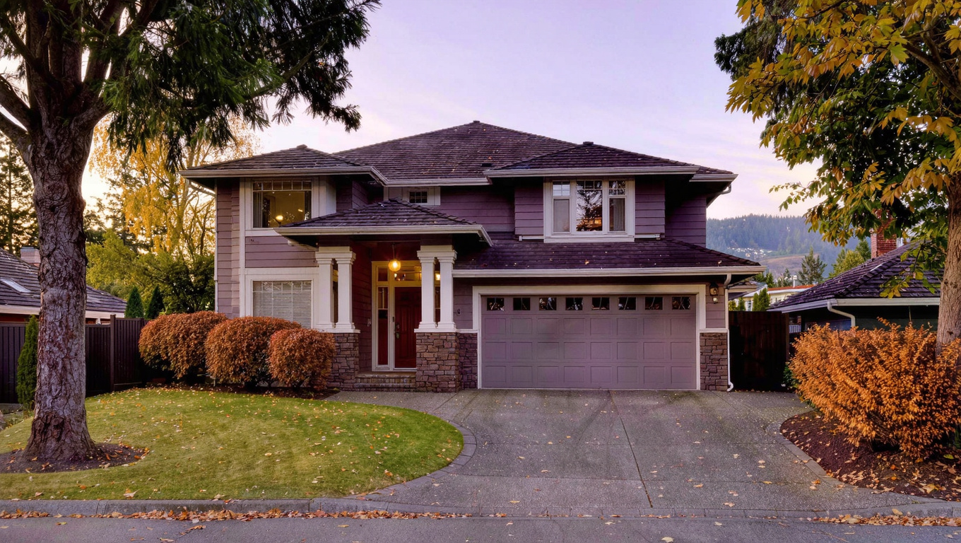
King County CitiesRenton June 5, 2026

Living in Kennydale, Renton WA | 2026 Neighborhood Guide

Kennydale is the best-kept secret in north Renton. It sits on a hillside above Lake Washington, and on a clear day the views reach all the way to the Seattle skyline. The vibe is Family-First Established — mature trees, quiet streets, and neighbors who have lived here for years. In 2026, it remains one of the most consistent value holds in all of King County’s south end.

What Is It Actually Like to Live in Kennydale in 2026?

A weekday morning in Kennydale is peaceful. Streets curve through the hillside, and the canopy of mature big-leaf maple and Douglas fir muffles the sound from 405 below. Most residents leave between 7 and 8 a.m. for Bellevue or Boeing. By 8:30 the streets are quiet. There’s a neighborhood feel that’s hard to manufacture — it’s been here a long time and it shows in the way people take care of their homes.

Weekends, Coulon Park is the social hub. Residents walk down, let the kids swim, and spend Sunday mornings at the water. The neighborhood is close enough to north Renton’s commercial strip on N 3rd Street for groceries or coffee, but far enough up the hill that you don’t hear it. That separation is part of what Kennydale residents pay for.

The people who live here tend to be established families — dual-income households with school-age kids, Boeing engineers, and some retirees who have been here since the 1980s. Most buyers come here because they’ve outgrown somewhere else and want to plant roots.

Gene Coulon Memorial Beach Park shoreline along Lake Washington in Renton WA with paved waterfront path and dock
Gene Coulon Memorial Beach Park gives Kennydale residents direct access to Lake Washington’s shoreline, just minutes from most homes in the neighborhood.

Homes in Kennydale: What the Data Shows

Kennydale’s housing stock runs mostly from 1960s to 1990s construction. Homes are predominantly single-family — ramblers and two-story traditional builds. Typical square footage ranges from 1,500 to 2,800 sq ft on lots between 6,000 and 10,000 sq ft. Many homes have been remodeled over the years, with updated kitchens and baths. The architectural style is Pacific Northwest Traditional — low-pitched roofs, wood or composite siding, and mature landscaping. View homes consistently command a premium here — often $50,000 to $100,000 above comparable non-view homes on the same street.

Market Pulse Kennydale / 98056 King County
Median Sales Price (May 2026) ~$780,000 ~$859,000
Median Days on Market ~18 days ~28 days
Active Listings Change (vs. Jan 2026) +22% +30%

Figures are approximate based on zip code 98056 activity. Verify current data at NWMLS.com.

Schools Serving Kennydale

Kennydale feeds into Renton School District. The primary pipeline is Kennydale Elementary, McKnight Middle School, and Hazen High School. Kennydale Elementary is known for strong parent involvement and a community garden program. McKnight has well-regarded arts and humanities electives. Hazen High offers a strong AP course selection and a well-funded athletics program.

People who move to Kennydale often cite the school community as one of their top reasons for choosing this neighborhood. The pipeline is consistent and parent involvement at each school is above average for south King County. School boundaries in Renton can shift by street address, so always confirm your specific assignment with the district before writing an offer.

Most Kennydale kids walk or are driven to Kennydale Elementary, bus to McKnight for middle school, and drive or bus to Hazen for high school. Hazen’s dual-enrollment options through Renton Technical College give motivated students early college credit.

Getting to Work from Kennydale

Kennydale has two easy 405 on-ramps — NE 44th Street and Park Ave N — that put you on the freeway in under five minutes. Northbound 405 is your fastest path to Bellevue and Redmond. For Seattle, most residents take 405 north to I-5.

Pacific Northwest Traditional two-story home exterior in Kennydale Renton WA with mature landscaping, established rhododendrons, and territorial view lot
Kennydale’s housing stock runs primarily from 1960s to 1990s single-family builds with mature landscaping and, on upper bench lots, territorial views toward Lake Washington.
Destination Distance 2026 Peak AM Drive Transit Option
Downtown Seattle 12 miles 25 to 40 min I-405 N to I-5 N
Amazon (South Lake Union) 14 miles 30 to 50 min I-405 N to I-5 N
Microsoft (Redmond) 17 miles 25 to 40 min I-405 N / Stride S2 + Transfer
SeaTac Airport 11 miles 18 to 30 min I-405 S to SR-167

What I See as a Valuation Expert in Kennydale

In Kennydale, the first thing that stands out in valuation is the view line. A home that’s one lot off the ridge and loses the water view can appraise $60,000 to $80,000 less than an equivalent home with a clear lake sightline. That delta is significant. And it persists across market cycles.

The landscaping maturity here is real. Many properties have 30- to 50-year-old trees, established rhododendron plantings, and maintained lawns. That kind of curb appeal is hard to replicate and adds genuine appraised value. When I walk Kennydale, the homes on the upper bench streets — above roughly NE 36th Street — consistently show the strongest comps. Those streets have the best view angles and the least traffic.

Long term, Kennydale is one of the most defensible neighborhoods I work in. It has lake proximity, mature character, and Hazen High School as a school anchor. Those three factors rarely exist together at a sub-$800K median. If rates come down in 2027 and more buyers enter the market, this neighborhood will see competition fast. The 2026 window of higher inventory and less competition is a real opportunity.

Frequently Asked Questions About Kennydale, Renton WA

Is Kennydale a good place to live in Renton?
Yes, especially for if you want lake access, mature neighborhoods, and solid schools without paying Bellevue prices. The upper bench view lots command a real premium, but for what you get — hillside position, Coulon Park proximity, and the Hazen pipeline — the value holds well over time.

What are homes like in Kennydale?
Primarily 1960s to 1990s single-family construction — ramblers and two-story traditionals on lots of 6,000 to 10,000 sq ft. Most have been updated over the years. Upper bench lots with territorial or lake views add $50,000 to $100,000 in appraised value over comparable interior-lot homes.

What schools serve Kennydale?
Kennydale feeds into Renton School District: Kennydale Elementary, McKnight Middle School, and Hazen High School. Always verify your specific address with the district before writing an offer, as boundaries can shift by street.

How far is Kennydale from Seattle?
About 12 miles, with a typical peak AM drive of 25 to 40 minutes via I-405 N to I-5 N. Most residents drive. Stride S2 BRT is accessible from South Renton Transit Center for Bellevue connections.

Explore Kennydale Yourself

Drive the upper bench streets on a clear morning. Then walk down to Coulon Park and look back up the hill. You’ll understand the appeal immediately.

View Kennydale on Google Maps →

Your guide to life outside Seattle.

Gregory Dorrell | Coldwell Banker Bain | WA License #111862
253-350-0045  · 
greg@livingoutsideseattle.com  · 
www.livingoutsideseattle.com
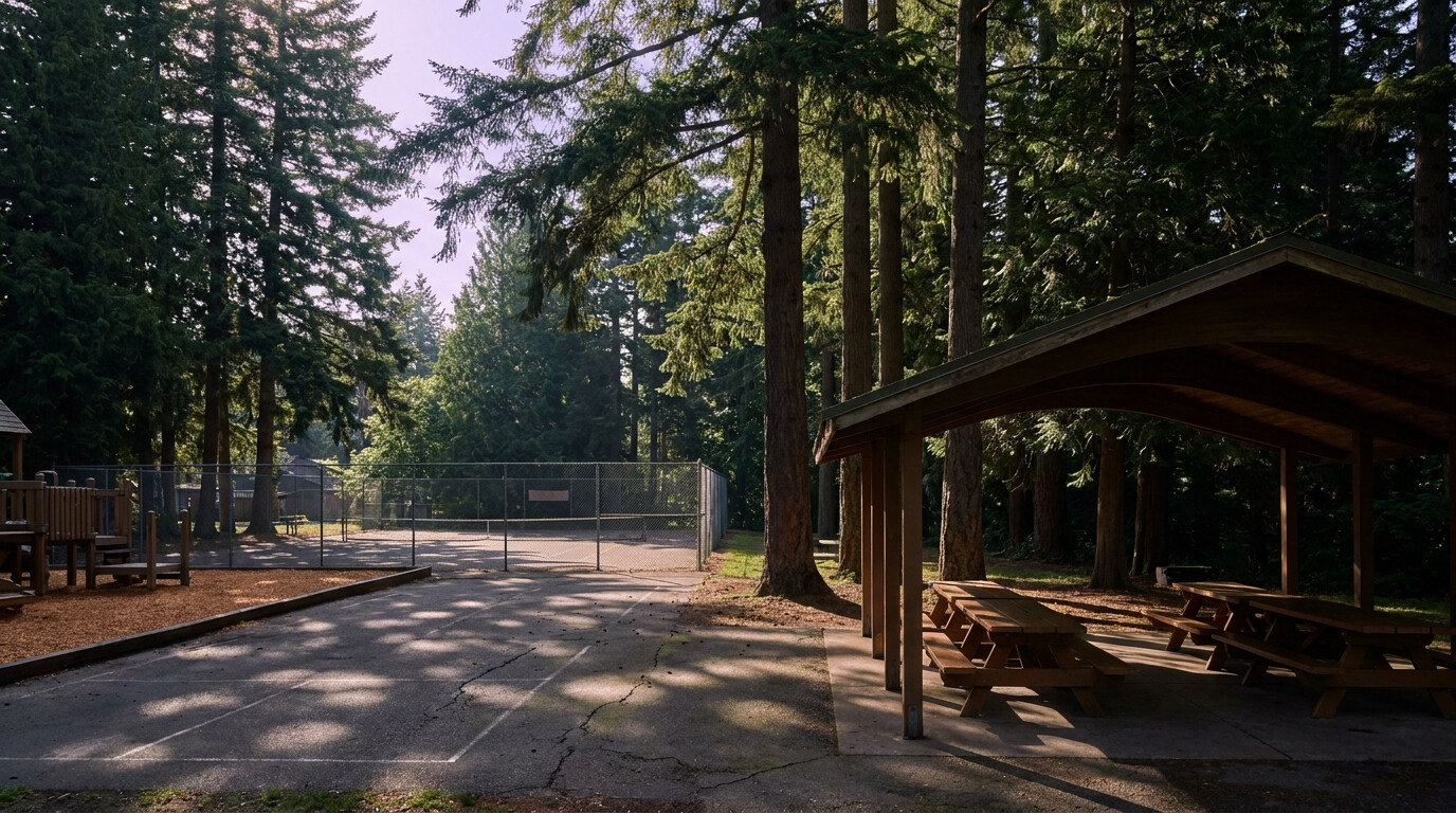
EastsideIssaquahKing County Cities May 24, 2026

Living in Newport – Cougar Mountain Issaquah

The Newport Way and Cougar Mountain area covers the western edge of Issaquah, climbing up toward the Bellevue line where the city meets the Cougar Mountain Regional Wildland Park. In 2026, with buyers looking for trail access, wooded privacy, and the fastest commute to Bellevue and Microsoft from any Issaquah neighborhood, this corridor is one of the most flexible options in the city. If you want a home where you can hike from your driveway, drive to Bellevue in under twenty minutes, and have real lot size without leaving the I-90 corridor, this area delivers. There is one important wrinkle to know about: the school district line cuts through this area, which means buyers must verify the assigned schools for any specific address before writing an offer.

What is it actually like to live in Newport / Cougar Mountain in 2026?

On a weekday morning, this area feels wooded and private. Streets curve through the lower slopes of Cougar Mountain with mature firs, cedars, and big-leaf maples lining the routes. Driveways are often long and screened from the street. Most residents head west toward I-90 or I-405 for the commute, which is one of the practical advantages of living on this side of Issaquah. The pace is calm, and traffic stays light because there is no commercial core to draw outside visitors.

On a weekend, the neighborhood comes alive in a quiet way. Trail runners and hikers head into Cougar Mountain from the Wilderness Peak and Red Town trailheads. Mountain bikers use the network of trails that loop through the protected wildland. Residents head into Issaquah for sports, shopping, or a meal on Front Street. The mix of forest privacy and quick access to amenities is the defining feature of this neighborhood.

Most residents are a mix of long-time owners who bought in the 1980s and 1990s when the western edge of Issaquah was considered the country, plus newer buyers from Bellevue and Sammamish who specifically wanted trail access without leaving the Eastside. Many residents work in tech and value the short commute to Bellevue and Microsoft. What separates this area from other Issaquah neighborhoods is the geographic position. You are technically in Issaquah but five minutes from Bellevue, which gives buyers the best of both cities depending on the day.

A Cougar Mountain trailhead at the edge of the Newport Way and Cougar Mountain area of Issaquah.

Homes in Newport / Cougar Mountain: What the Data Shows

Housing here is genuinely mixed because the area developed organically over several decades. You will find 1980s contemporary builds with cedar siding and dramatic rooflines, 1990s and 2000s custom homes on larger lots, post-war ramblers on the older side streets, and a smaller share of newer 2010s and 2020s rebuilds where someone tore down an aging home and put up modern. Single-family homes typically run 2,000 to 4,500 square feet on lots between 8,000 square feet and a half acre, with many properties backing to greenbelt or forested borders. Lot orientation varies because the streets follow the natural topography, which means light, view, and slope conditions differ noticeably from one home to the next.

Market Pulse Newport / Cougar Mountain (98027) King County
Median Sales Price (May 2026) ~$1,225,000 ~$859,000
Median Days on Market ~26 days ~28 days
Active Listings Change (vs. Jan 2026) +19% +30%

Estimates based on current NWMLS data for the Newport Way and Cougar Mountain pockets within the 98027 ZIP code. Pricing varies meaningfully by exact location, with western-most properties closer to Bellevue commanding higher prices than eastern properties closer to Olde Town.

Schools Serving Newport / Cougar Mountain

This is the area where school assignment matters most. The neighborhood sits along the boundary between the Issaquah School District and the Bellevue School District, with the line cutting through the area in ways that can change school assignments from one street to the next. Always confirm your specific address with the appropriate school district before you write an offer. Two scenarios are typical:

For most Issaquah-side addresses, kids attend either Clark Elementary or Issaquah Valley Elementary, then Issaquah Middle School, then Issaquah High School. For western-edge properties closer to the Bellevue line, addresses may feed Cougar Ridge Elementary in Bellevue (which is part of the Issaquah School District despite the geographic location), then Cougar Mountain Middle School in Talus, then either Liberty High School or Issaquah High School depending on the specific address. For Bellevue School District properties on the absolute western edge near the Bellevue city line, kids typically attend Newport Heights Elementary, then Tyee Middle School, then Newport High School in Bellevue.

Newport High is one of the top-rated public high schools in Washington with strong AP and IB programs. The bottom line: this is the one Issaquah neighborhood where a single block can change which district your kids attend, so the address verification step is genuinely important. The school pipeline for this area involves driving or busing for nearly all families. None of the schools are walking distance from most properties, which is normal for a wooded Eastside neighborhood.

Getting to Work from Newport / Cougar Mountain

Newport Way connects directly to I-90 at exit 15 (Bellevue side) or exit 17 (Issaquah side), giving residents unusually flexible commute options. Most westward commuters head to I-405 via Eastgate. Most eastward commuters head into Issaquah and beyond.

Destination Distance 2026 Peak Drive (AM) Transit Option
Downtown Seattle 15 miles 28 to 48 min I-90 / ST 554 from Issaquah
Bellevue / Amazon Bellevue 6 miles 15 to 25 min I-90 to I-405
Microsoft (Redmond) 9 miles 20 to 30 min I-90 to SR-520
SeaTac Airport 22 miles 35 to 50 min I-405 to I-5 / Drive

Note: This is the fastest Bellevue commute of any Issaquah neighborhood, often by 5 to 10 minutes during peak hours.

A contemporary home in the Newport Way and Cougar Mountain area of Issaquah, backing to a wooded greenbelt.

What I See as a Valuation Expert in Newport / Cougar Mountain

The biggest valuation factor in this area is the lot, the slope, and the school assignment. On a 1985 home, the lot itself can carry 40 to 55 percent of the appraised value depending on size, slope, view, and trail access. In this area, valuation weight goes first to lot grade, drainage, the condition of any retaining walls, and tree health, then to the structure. A flat lot with usable yard space and a strong school assignment will appraise much stronger than a same-size home on a steep slope with a less-desired school feeder pattern.

HOAs vary widely in this area. Some pocket subdivisions have small road maintenance HOAs in the $20 to $80 monthly range. A few newer pockets have full HOAs running $100 to $250 per month. Most older properties are fee simple with no HOA at all. Always read the title commitment carefully because some properties have private road easements with cost-sharing requirements that function like an informal HOA, even when no formal HOA exists.

Within this area, certain pockets and lots carry premium pricing. Properties backing directly to Cougar Mountain greenbelt, lots with usable flat yards, homes with a confirmed Issaquah High or Newport High assignment, and any property within walking distance of a Cougar Mountain trailhead tend to move first when they hit the market.

Explore Newport / Cougar Mountain Yourself

The fastest way to know if this area fits is to drive Newport Way from Olde Town west toward the Bellevue line, then turn into a few of the side streets to see how the housing variety opens up.

View Newport / Cougar Mountain on Google Maps →

Your guide to life outside Seattle.

Gregory Dorrell | Coldwell Banker Bain | WA License #111862
253-350-0045  ·
greg@livingoutsideseattle.com  ·
www.livingoutsideseattle.com
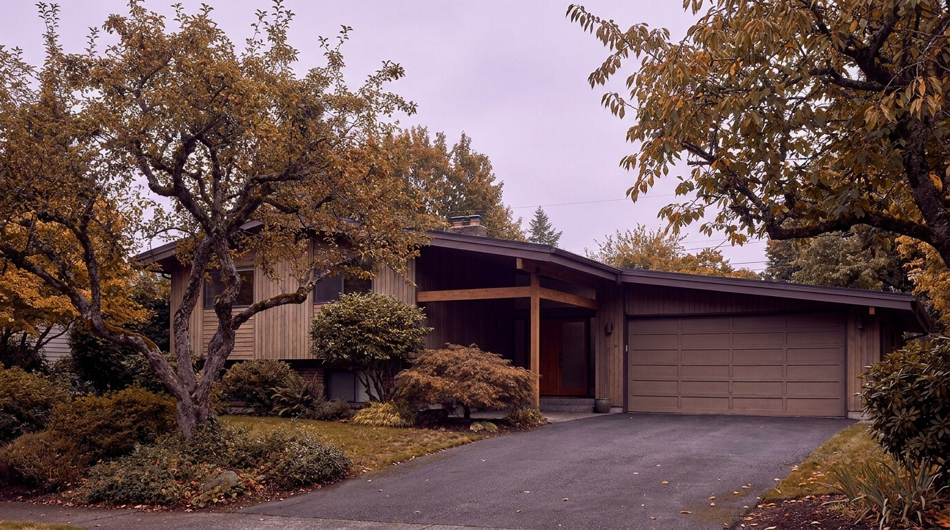
EastsideIssaquahKing County Cities May 23, 2026

Living in Sycamore Issaquah

Sycamore is one of Issaquah’s older established neighborhoods, tucked along the lower flank of Cougar Mountain just west of Olde Town. In 2026, with buyers looking for value, real lots, and the kind of mature neighborhood character you cannot manufacture in new construction, Sycamore is one of the most underrated options in Issaquah. If you want a solid 1970s or 1980s home with bones, room to update, and a quiet established street where neighbors actually know each other, Sycamore is worth a serious look.

What is it actually like to live in Sycamore in 2026?

On a weekday morning, Sycamore feels like a real neighborhood. Streets are lined with mature firs, cedars, and yes, some sycamore trees that gave the area its name. Kids walk or bike to Issaquah Valley Elementary or catch the bus on the corners. Commuters head east toward I-90 and the Issaquah Transit Center. The pace is calm, and the streets are quiet enough that you can hear birds even at 8 AM.

On a weekend, Sycamore stays quiet but more active for residents. People walk dogs along the loop streets, run on the Tibbetts Creek trail, and head into Olde Town for breakfast or coffee. Many residents work on their homes on weekends because the housing stock is mature enough that there is always something to do. The neighborhood holds an annual block party in summer that pulls people out and reinforces the established community feel.

Most residents are a mix of long-time owners who bought in the 1980s and 1990s when Sycamore was the affordable alternative to newer Issaquah construction, plus newer buyers who specifically wanted character, value, and walkability to Olde Town. Many residents work from home or have flexible schedules. What separates Sycamore from the master-planned communities up the hill is simple: this neighborhood was not designed in one sweep. It grew over the 1970s and 1980s, with houses set on irregular lots and streets that follow the contours of the lower mountain slope. That gives it the kind of organic character that newer neighborhoods cannot copy.

Tibbetts Creek running through the Sycamore neighborhood in Issaquah, with native plants and a walking trail.

Homes in Sycamore: What the Data Shows

Most homes in Sycamore were built between the early 1970s and the late 1980s, with a smaller share of newer infill on lots where someone has torn down an aging structure and built modern. You will find classic Pacific Northwest split-levels, cedar-clad contemporaries, traditional two-story homes, and a handful of one-level ramblers tucked along the quieter streets. Single-family homes typically run 1,800 to 3,000 square feet on lots between 7,000 and 10,000 square feet, with some larger legacy lots in the upper sections of the neighborhood. Lot orientation varies because the streets follow the natural topography, which means light, view, and outdoor usability differ noticeably from one home to the next. There is no townhome or condo inventory in Sycamore. Detached single-family homes are the only product type.

Market Pulse Sycamore (98027) King County
Median Sales Price (May 2026) ~$995,000 ~$859,000
Median Days on Market ~28 days ~28 days
Active Listings Change (vs. Jan 2026) +21% +30%

Estimates based on current NWMLS data for the Sycamore residential pockets within the 98027 ZIP code. Sycamore’s pricing runs above the King County median but well below newer Issaquah construction, which is exactly why value-focused buyers target this neighborhood.

Schools Serving Sycamore

Most Sycamore kids attend Issaquah Valley Elementary, then Issaquah Middle School, then Issaquah High School. All three schools sit within five to ten minutes of the neighborhood, and the bus pickup network is well-established because Sycamore has been part of the same school pipeline for decades.

Issaquah Valley Elementary houses the Spanish Dual Language Immersion program and is one of the more diverse elementary schools in the district. Issaquah Middle School was rebuilt and modernized in recent years and offers strong music and STEM programs. Issaquah High has a strong four-year graduation rate, multiple AP programs, and a competitive athletics presence.

The school pipeline for Sycamore involves driving for some families and walking for others, depending on which street you live on. The eastern end of the neighborhood is closer to Issaquah Valley and walkable for many kids. The western end requires driving or busing.

Getting to Work from Sycamore

Sycamore residents typically take Newport Way east to reach I-90 at exit 17. Some northern properties use Front Street to access I-90 at the same interchange. The neighborhood has good freeway access without being directly on a major arterial, which keeps internal traffic light.

Destination Distance 2026 Peak Drive (AM) Transit Option
Downtown Seattle 17 miles 35 to 55 min I-90 / ST 554 from Issaquah Transit Center
Bellevue / Amazon Bellevue 9 miles 22 to 32 min I-90 to I-405 / ST 554
Microsoft (Redmond) 12 miles 28 to 38 min I-90 to SR-520 / Connector Bus
SeaTac Airport 22 miles 35 to 50 min I-405 to I-5 / Drive

A sympathetically updated 1980s split-level home in the Sycamore neighborhood of Issaquah.

What I See as a Valuation Expert in Sycamore

The biggest valuation factor in Sycamore is honestly the home itself, not just the neighborhood. Two same-vintage homes on the same block can appraise $150,000 apart based purely on the condition of the systems, the roof, the siding, and whether the kitchen and bathrooms have been updated in the last 10 to 15 years. In Sycamore, valuation weight goes heavily to the major systems, the foundation, and the condition of any deck or outbuilding. A 1985 home with a 2018 roof, recent siding work, and an updated kitchen will appraise much stronger than a same-vintage home where deferred maintenance has been deferred.

HOAs are rare in Sycamore. Most properties are fee simple, which means no monthly dues and no master association rules to worry about. The neighborhood relies on King County code rather than private HOA rules for landscaping and architectural standards. That gives owners flexibility but also means properties vary widely in maintenance and curb appeal from one block to the next.

Within Sycamore, certain streets and pockets carry premium pricing. Lots backing directly to Tibbetts Creek or the Cougar Mountain greenbelt, properties with morning sun and afternoon shade, homes on the quieter cul-de-sacs, and any home that has been sympathetically updated tend to move first when they hit the market.

Explore Sycamore Yourself

The fastest way to know if Sycamore fits is to drive Newport Way west from Olde Town, then turn into the loop streets to see how the neighborhood opens up onto the lower slope of Cougar Mountain.

View Sycamore on Google Maps →

Your guide to life outside Seattle.

Gregory Dorrell | Coldwell Banker Bain | WA License #111862
253-350-0045  ·
greg@livingoutsideseattle.com  ·
www.livingoutsideseattle.com
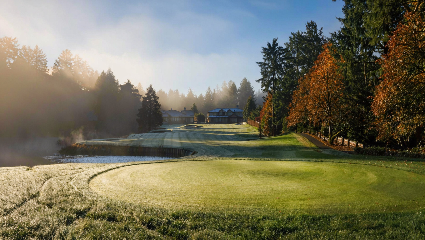
King County CitiesSouth King County May 18, 2026

Living in Kent, WA | 2026 Real Estate & Lifestyle Guide

Why Kent Stands Out in 2026

King County’s median home price sits at $998,000 in June 2026, down almost 5% from a year ago. Kent moves in the opposite direction. The median here is $697,000, up nearly 3% from last June. That gap between Kent and the county median is not shrinking. It is one of the biggest reasons Kent stays the top search for first-time buyers in south King County.

Homes here are also selling a little slower than they were last summer. The average is 25 days on market right now, the longest of any city I track for clients. That is not a red flag. It means buyers get a real window to look, inspect, and think before they write an offer. With 140,000 residents, Kent is the third-largest city in King County. It has its own downtown, its own job base, and its own identity. It is not a bedroom community tacked onto Seattle.

So who buys in Kent right now? Mostly first-time buyers who got priced out of Renton or the Eastside. If you need quick access to SR-167 and I-5 for jobs at Boeing, the Port of Seattle, or the huge warehouse and logistics cluster in the Kent Valley. And a growing number of people moving in from California and other high-cost states who see Kent as a real bargain, not a compromise. The Kent Sounder Station and the Sound Transit bus network to Seattle matter a lot to buyers who do not want to drive every day. Kent is practical. It is affordable. And it stays underrated.

Kent Washington East Hill residential neighborhood street with Pacific Northwest homes and mature trees
Kent East Hill, the most popular residential area in the city, with strong schools, parks, and the widest selection of move-in-ready homes.

Commute Times from Kent

Kent is one of the better-connected cities in south King County if you commute. The Sounder commuter train runs straight to downtown Seattle. Sound Transit express buses run out of several Kent park-and-rides. SR-167, the Valley Freeway, runs the full length of the city, connecting north to Renton and I-405 and south to Auburn and SR-18. I-5 is close by to the west, and SR-516 links East Hill to Covington and Maple Valley.

Destination Distance 2026 Peak Drive (AM) Transit Option
Downtown Seattle 25 miles 40 to 60 min Sounder Train / I-5
Amazon (South Lake Union) 25 miles 45 to 65 min Sounder + Link Transfer
Microsoft (Redmond) 25 miles 40 to 55 min SR-167 to SR-520
Bellevue Tech Corridor 18 miles 30 to 45 min SR-167 to I-405
SeaTac Airport 12 miles 15 to 25 min SR-167 / I-5

Twelve miles from SeaTac is one of the most underrated perks of living in Kent. If you fly for work, 15 to 25 minutes to the airport without touching Seattle traffic is a real quality-of-life win.

Kent Washington Sounder commuter train station providing direct rail access to downtown Seattle from south King County
The Kent Sounder Station connects residents to downtown Seattle in about 40 to 50 minutes, no freeway required.

Neighborhoods in Kent: A Quick Look

Kent is a big city with real geographic variety. There is the East Hill plateau, the valley floor, and the original downtown core, and each one has its own feel, price range, and school assignment. Every neighborhood below gets its own deep-dive post as those go live this summer.

Kent East Hill

East Hill is Kent’s most populated residential area, sitting on the plateau east of downtown. The mix is diverse and family-oriented: established 1980s and 1990s subdivisions next to newer construction from the 2000s and 2010s. Homes here typically run 1,600 to 3,200 square feet on lots from 5,000 to 9,000 square feet. The Kent School District serves this area: Meridian Elementary feeds into Mattson Middle, while Lake Youngs and Panther Lake elementaries feed into Meridian Middle, with all three continuing to Kentwood High. Kentwood runs strong academic and activity programs for a big student body. Covington Park and Lake Meridian Park anchor the recreation scene, with swimming, boat launches, and walking trails close by. Most Kent families end up here. Schools, parks, and price all line up well.

Read our full deep-dive on Kent East Hill →

Kent West Hill

West Hill sits on the plateau west of downtown, between the valley floor and SR-99. It is older and more varied than East Hill, with homes dating from the 1960s through the 1980s and a wider spread of property condition. Expect 1,200 to 2,400 square feet on lots from 6,000 to 10,000 square feet, with a lot of ranch-style and split-level homes. The Kent School District covers this area. Soos Creek Elementary feeds into Kent-Meridian High School, which has solid vocational and technical programs. The Soos Creek Trail corridor runs through here too, good for miles of biking and walking. Buyers who want more land and a lower price than East Hill often land good deals on West Hill.

Read our full deep-dive on Kent West Hill →

Read our full deep-dive on Kent West Hill →

Downtown Kent / Valley Floor

Original downtown Kent and the valley floor sit at the base of the plateaus along the Green River. This is the most urban part of the city. Close to commercial corridors, the Sounder station, and Kent Station, which has a theater and restaurants. Housing is a mix of older craftsman and mid-century homes near newer condos and townhomes by the transit center. Single-family homes run 1,000 to 1,800 square feet on smaller lots, and prices here are among the lowest in the city. The Kent School District serves this area. The Green River Trail connects straight through downtown, running north toward Renton and south toward Auburn. If you want the lowest entry price and the best Sounder access, start your search here.

Read our full deep-dive on Downtown Kent →

Panther Lake

Panther Lake takes its name from the small lake at the center of this quiet, semi-urban neighborhood in central East Hill. Most homes went up in the 1980s and 1990s, with some newer townhomes ringing the lake. Sizes run 1,400 to 2,600 square feet on lots from 6,000 to 9,000 square feet. Panther Lake Elementary serves the area, feeding into Meridian Middle and Kentwood High through the Kent School District. The lake itself is the neighborhood’s anchor, with a small park and a trail loop around the water. It is a solid middle-market pick for buyers who want a true neighborhood feel with a small water amenity, at an East Hill price point.

Read our full deep-dive on Panther Lake →

Lake Meridian

Lake Meridian is one of Kent’s premier residential areas, wrapped around the large swim lake of the same name in central-east Kent. This is the active, community-driven part of the city. Lake Meridian Park has a beach, a boat launch, and a swim area that pulls in the whole neighborhood every summer weekend. Homes closest to the water sell at a real premium. Overall, homes run 1,800 to 3,400 square feet on lots from 7,000 to 12,000 square feet, with some larger parcels backing straight onto the lake. Lake Meridian Elementary and Meridian Middle feed into Kentwood High through the Kent School District. This neighborhood consistently sells faster and holds value better than most of Kent. Lake access is a genuinely rare amenity around here.

Read our full deep-dive on Lake Meridian →

Soos Creek Corridor

The Soos Creek corridor runs roughly north to south through eastern Kent, and homes along it back up to, or sit near, the Soos Creek Wetlands and trail system. It feels a little more rural than the rest of East Hill, with greenbelt on most sides. Most construction is 1980s and 1990s, running 1,500 to 2,800 square feet on lots from 7,000 to 15,000 square feet, and some parcels back straight onto the greenbelt. The Kent School District serves the area. The Soos Creek Trail itself runs 12 miles from Auburn to Renton, a real asset for walkers, runners, and cyclists. If you want a backyard that feels more Pacific Northwest than typical suburb, look here first.

Read our full deep-dive on Soos Creek Corridor →

Read our full deep-dive on the Soos Creek Corridor →

Kent Station / Midway

Midway connects Kent’s north end to the SeaTac and Des Moines corridor along SR-99 and I-5. It has historically leaned commercial and transitional, but new residential development is filling in as the region grows. Housing mixes older single-family homes on bigger lots with newer townhomes and multi-family buildings. Single-family prices are among the lowest in Kent, often starting between $475,000 and $550,000. The Kent School District serves this area. SeaTac proximity is the big practical draw here. Twelve minutes to the airport without ever touching I-5 is a real lifestyle feature, not a marketing line. Buyers focused on value and airport access tend to find their best options in Midway.

Read our full deep-dive on Kent Midway →

Read our full deep-dive on Kent Station & Midway →

Covington / SE Kent

The southeast edge of Kent transitions toward Covington, and lot sizes grow along with it. The character turns semi-rural fast. Homes here tend to sit on a quarter- to half-acre, mostly built in the 1990s and early 2000s, running 1,800 to 3,500 square feet. This area is split between the Kent School District and the Tahoma School District depending on the exact street, and Tahoma High School is consistently rated one of the best in Washington State. Buyers should always confirm school assignment before writing an offer here. If you want more land without moving all the way out to Covington, the SE Kent zone is worth a close look.

Read our full deep-dive on SE Kent / Covington Edge →

Read our full deep-dive on Covington & SE Kent →

Meridian Valley

Meridian Valley sits along Kent’s northern border, right where the city meets Renton. Homes run 1,800 to 3,200 square feet on lots from 6,500 to 12,000 square feet, mostly built in the 1980s and 1990s. The Kent School District serves the Kent portions of this neighborhood. SR-167 access is strong here, cutting real time off commutes to Renton and Bellevue. Lake Youngs Reservoir is a short drive away, and the Soos Creek trail network connects nearby. If you want the most convenient north Kent access to I-405 and the Eastside, put Meridian Valley on your list.

Read our full deep-dive on Meridian Valley →

Read our full deep-dive on Meridian Valley & Benson Hill →

Scenic Hill

Scenic Hill is one of Kent’s oldest, most established neighborhoods. It sits on the hillside west of downtown with territorial views over the valley. Mature firs, established yards, older homes with real character, and a tight-knit community give this area its own personality. Most homes were built between 1950 and 1980, running 1,400 to 2,400 square feet on lots from 8,000 to 14,000 square feet, and plenty have partial valley and mountain views on a clear day. Kent Elementary and Mill Creek Middle feed into Kent-Meridian High through the Kent School District. Scenic Hill Park adds trail access and views of its own. If you want an older home with character, a bigger lot, and a view, this is one of the first spots I show buyers in Kent.

Read our full deep-dive on Scenic Hill →

Kent Washington real estate market 2026, craftsman home with landscaped yard representing home values and investment in King County
Well-priced Kent homes in good school zones are still selling briskly in 2026, even with days on market up a bit from last year.

Market Dynamics & Investment Value in Kent

Data as of June 2026 (NWMLS).

Kent is still the most affordable city in King County at real scale, and 2026 is proving that affordability holds up even when the rest of the county cools off. King County’s residential median dropped almost 5% year over year in June. Kent went the other way, up 2.9%. That is the clearest sign I have seen all year that Kent buyers are not waiting around for a discount. They are buying now, at prices that keep climbing a little every month.

Here is the honest trade-off. Homes are sitting a bit longer. The average is 25 days on market, the slowest pace of any city I track for clients right now. That does not mean demand dried up. It means sellers need to price carefully and buyers get a slightly longer runway to inspect and negotiate than they had a year ago. Months supply sits at 3.3, which is a balanced market, not a buyer’s market and not a feeding frenzy either.

The neighborhoods holding value best over the last year are the ones I would expect: Lake Meridian, anything near the Covington border with a Tahoma school assignment, and East Hill homes zoned for Kentwood High. Homes in those pockets have stayed flat to positive on price even as days on market stretched out. Areas that have softened a little more are parts of West Hill and the downtown valley, where older housing stock gives buyers more to think about when they have other options nearby.

Kent’s light industrial job base in the valley gives it an economic floor a lot of other south King County cities do not have. Boeing, Blue Origin, and a wide range of logistics and warehouse employers put tens of thousands of jobs within 10 miles of most Kent neighborhoods. That blue-collar demand is quieter than tech money, but it has proven more stable through every cycle I have watched.

Scenic Hill neighborhood in Kent Washington with older craftsman homes, mature trees, and territorial views of the Kent valley
Scenic Hill, Kent’s most established hillside neighborhood, with larger lots, mature trees, and partial valley views.

Explore Kent Yourself

Kent rewards a slow drive more than a quick Google search. Spend a Saturday on East Hill, walk a stretch of the Green River Trail, then swing through Kent Station to see the transit access up close. The city is bigger and more varied than most people expect until they actually spend time in it.

View Kent on Google Maps

Frequently Asked Questions: Living in Kent, WA

Q: Is Kent, WA a good place to live?
A: Yes, especially for buyers who want affordability, real transit access, and a genuine Pacific Northwest lifestyle without Eastside prices. With 140,000 residents, Kent has the services and infrastructure of a real city, not just a suburb. First-time buyers, growing families, and people relocating from higher-cost markets all consistently rank Kent as one of the best value cities in the Seattle area.

Q: What is the average home price in Kent, WA in 2026?
A: Kent’s median sales price in June 2026 was $697,000, up 2.9% from a year earlier. That compares to a King County residential median of $998,000, which is down almost 5% over the same period. Homes in Kent are averaging 25 days on market, giving buyers more time to make a decision than they had a year ago.

Q: What are the best neighborhoods in Kent, WA?
A: For families, East Hill and Lake Meridian lead the way. Schools, parks, and price point all line up. Downtown Kent has the lowest prices and the best Sounder access. The Soos Creek Corridor and SE Kent near Covington offer bigger lots and more greenbelt. Scenic Hill is the pick for buyers who want character, views, and an established neighborhood feel.

Q: How far is Kent, WA from Seattle?
A: Kent sits about 25 miles south of downtown Seattle. The Sounder commuter train covers that in roughly 40 to 50 minutes without any freeway driving. By car on I-5, plan on 40 to 60 minutes during the morning peak. Kent’s 12-mile proximity to SeaTac Airport is also genuinely useful if you travel for work.

What School District Serves Kent, WA?

Most of Kent falls inside the Kent School District. Part of southeast Kent, near the Covington border, falls in the Tahoma School District, home to Tahoma High School, one of the top-rated high schools in the state. Always confirm the school district for a specific address before writing an offer. It can change block by block near that border.

Your guide to life outside Seattle.

Gregory Dorrell | Coldwell Banker Bain | WA License #111862
253-350-0045  ·
greg@livingoutsideseattle.com  ·
www.livingoutsideseattle.com
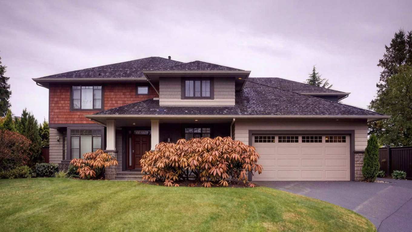
King County CitiesSouth King County May 18, 2026

Living in Federal Way, WA | 2026 Real Estate & Lifestyle Guide

Why Federal Way Stands Out in 2026

King County’s median home price sits around $998,000 as of June 2026. Federal Way’s median is one of the lowest in the county for a city of its size — typically running $625,000 to $675,000, though single-city monthly figures like this can swing more than countywide data, so treat it as a directional read rather than a precise mark. That makes Federal Way one of the most accessible communities in King County for buyers who need more home for their dollar. With over 100,000 residents, Federal Way is the fourth-largest city in King County. It sits right on the I-5 corridor between Seattle and Tacoma, with SeaTac Airport 12 miles to the north and the South King County job base within easy reach.

The city has had a complicated reputation, but the picture in 2026 is more nuanced than the old story suggests. Federal Way has significant natural assets — Puget Sound waterfront at Dash Point State Park, Steel Lake, and the Celebration Park athletic complex — that most people outside the city do not know about. The downtown core around The Commons is still transitional, but the I-5 corridor has seen steady commercial investment. And the Link Light Rail connection is now operational, which changes the commute math for a lot of buyers. Federal Way is not pretending to be somewhere else. It is a practical, affordable city with real amenities, and in 2026, smart buyers are paying attention.

Federal Way Transit Center with Sound Transit Link light rail station connecting Federal Way to Seattle and SeaTac Airport
The Federal Way Link Extension opened in 2024 — giving residents direct 1 Line light rail access to SeaTac Airport in about 20 minutes and downtown Seattle in about 50 minutes.

Commute Times from Federal Way

Federal Way’s transit situation improved significantly with the opening of the Federal Way Link Extension in 2024. The 1 Line now includes the Federal Way Transit Center Station, giving residents direct light rail access to Seattle without getting on I-5. This is a meaningful change and one of the key reasons buyer interest has picked up near the transit center. I-5 remains the primary driving corridor, while SR-99 provides a slower but practical surface alternative. SR-18 connects east toward Auburn and Covington.

Destination Distance 2026 Peak Commute Transit Option
Downtown Seattle 27 miles 35 to 55 min 1 Line Light Rail / I-5
Amazon (South Lake Union) 28 miles 40 to 60 min Link Transfer at Westlake / Drive
Microsoft (Redmond) 35 miles 50 to 70 min Drive / SR-99 to I-405
Bellevue Tech Corridor 25 miles 40 to 55 min I-5 to I-405 / Drive
SeaTac Airport 12 miles 15 to 25 min 1 Line Light Rail (direct) / Drive

The Link Light Rail connection to SeaTac is one of the best practical advantages of living in Federal Way in 2026. The direct rail ride from Federal Way Transit Center to the airport takes about 20 minutes — no parking, no stress.

Neighborhoods in Federal Way: A Quick Look

Federal Way covers a large area with distinct communities that vary in character, price, and proximity to amenities. Here is a guide to the major neighborhoods buyers should know.

Twin Lakes neighborhood in Federal Way Washington with Pacific Northwest homes surrounding the lake and mature trees
Twin Lakes — one of Federal Way’s most desirable neighborhoods, where 1970s and 1980s homes surround two small lakes with park access and trails.

Dash Point / Lakota

Dash Point is Federal Way’s most distinctive neighborhood, sitting on the Puget Sound waterfront in the northwest corner of the city. The character is genuinely coastal Pacific Northwest — bluff-top homes with Sound views, forest trails, and proximity to Dash Point State Park, which has one of the few accessible sandy beaches on this stretch of Puget Sound. Homes range from 1960s and 1970s construction to newer custom builds, typically 1,800 to 3,500 sq ft. Waterfront and view properties command significant premiums. Lakota sits immediately east with a similar wooded character. Dash Point Park trails connect directly to the neighborhood.

Schools (Federal Way School District):

Lake Grove Elementary  ·
Lakota Middle School  ·
Decatur High School

Deep Dive: Dash Point →

Twin Lakes

Twin Lakes is one of Federal Way’s most established and sought-after neighborhoods, centered on two lakes in the western-central part of the city. The character is mature and community-driven, with strong HOA governance and a consistent aesthetic. Homes were mostly built between 1972 and 1990, running 1,800 to 3,000 sq ft on lots from 7,500 to 12,000 sq ft. The Twin Lakes Community Club manages shared amenities including lake access and beach areas. Twin Lakes is consistently one of Federal Way’s fastest-selling neighborhoods because the lake access and HOA maintenance hold value in ways other areas do not always match.

Schools (Federal Way School District):

Twin Lakes Elementary  ·
Lakeland Elementary  ·
Lakota Middle School  ·
Decatur High School

Deep Dive: Twin Lakes →

Steel Lake / Downtown Core

The Steel Lake area and downtown Federal Way sit in the central part of the city, centered on Steel Lake Park and the commercial corridor along S 320th Street. Steel Lake Park is Federal Way’s largest community park, with a swim beach, sports fields, picnic areas, and a boat launch. Homes run 1,200 to 2,400 sq ft on lots from 6,000 to 10,000 sq ft, with prices among the most accessible in the city. The Federal Way Transit Center is nearby — direct Light Rail to Seattle and SeaTac is walking distance for some residents. For buyers who want maximum transit access and affordability, the Steel Lake corridor deserves serious attention.

Schools (Federal Way School District):

Steel Lake Elementary  ·
Sacajawea Middle School  ·
Federal Way High School

Deep Dive: Steel Lake →

North Federal Way / Jovita

North Federal Way runs along the city’s border with Des Moines and Kent, with Jovita being a specific neighborhood in the northeast corner. The character is quiet and suburban, with 1970s and 1980s construction dominating the housing stock. Homes typically run 1,400 to 2,400 sq ft on lots from 7,000 to 11,000 sq ft. Easy I-5 access makes commuting toward Seattle or Tacoma straightforward. Federal Way High School is the district’s oldest school with broad program offerings. Buyers in north Federal Way get slightly shorter commutes to SeaTac and Kent while staying in the Federal Way price bracket.

Schools (Federal Way School District):

Sunnycrest Elementary  ·
Totem Middle School  ·
Federal Way High School

Deep Dive: North Federal Way →

Mirror Lake

Mirror Lake is a quiet residential area in the central-west part of Federal Way, anchored by the small lake it shares its name with. The character is calm and neighborhood-oriented, with a mix of 1970s ranch homes, 1980s two-stories, and some newer infill. Homes run 1,400 to 2,600 sq ft on lots from 7,000 to 10,000 sq ft. The lake provides a pleasant green backdrop for surrounding homes. Mirror Lake Elementary is one of the district’s well-regarded schools. Prices run slightly above the Federal Way average because of the school assignments and established neighborhood feel.

Schools (Federal Way School District):

Mirror Lake Elementary  ·
Lakota Middle School  ·
Decatur High School

Deep Dive: Mirror Lake →

Celebration Park / Easter Lake

The Celebration Park area sits in the southwest part of Federal Way, organized around one of the largest athletic park complexes in the region — 19 athletic fields, trails, and significant green space. Easter Lake is a small neighborhood lake nearby. Homes in this corridor run 1,500 to 2,800 sq ft on 1980s and 1990s construction, with lots from 7,000 to 12,000 sq ft. Todd Beamer High is one of the newer schools in the district and has developed a strong academic culture. Buyers with kids in youth sports often prioritize this area for obvious reasons.

Schools (Federal Way School District):

Wildwood Elementary  ·
Sequoyah Middle School  ·
Todd Beamer High School

Deep Dive: Celebration Park →

Redondo / Marine Hills

Redondo sits at Federal Way’s northwest corner near Des Moines. The character here is coastal and slightly upscale for Federal Way — Redondo Beach provides Puget Sound access with a small marina, waterfront dining, and stunning Cascade and Olympic Mountain views on clear days. Marine Hills is the residential neighborhood climbing the bluff above Redondo, with homes from modest 1960s ramblers to larger view properties from the 1980s and 1990s. Home sizes run 1,400 to 2,800 sq ft on lots from 7,000 to 14,000 sq ft. Buyers who want Puget Sound access at Federal Way prices should seriously explore Redondo.

Schools (Federal Way School District):

Redondo Elementary  ·
Lakota Middle School  ·
Decatur High School

Deep Dive: Redondo →

South Federal Way / Camelot

South Federal Way and the Camelot area sit near the Pierce County line, south of S 356th Street. The character is quieter and more suburban than the city core, with larger lots and a mix of older established homes and newer construction. Homes run 1,500 to 3,000 sq ft on lots from 8,000 to 14,000 sq ft. Some newer subdivisions have HOAs with maintained common areas. SR-18 provides east access toward Auburn, opening commuting options other Federal Way neighborhoods do not have. This is one of Federal Way’s most affordable sectors by square foot. Always confirm school assignment based on the specific address near the district boundary.

Schools (Federal Way School District — verify by address):

Camelot Elementary  ·
Sequoyah Middle School  ·
Todd Beamer High School

Deep Dive: South Federal Way →

Wynstone / Belmor Park

Wynstone is a planned residential community in the eastern part of Federal Way, built in the 1990s and 2000s with a consistent aesthetic and HOA management. Single-family homes run 1,800 to 3,000 sq ft on lots from 5,000 to 8,000 sq ft, with prices in the $525,000 to $650,000 range. Thomas Jefferson has strong fine arts programs and a dedicated community. Buyers who want newer construction in a managed community at Federal Way prices will find Wynstone competitive. Next door, Belmor Park offers a 55-and-over manufactured home community with its own nine-hole golf course and clubhouse.

Schools (Federal Way School District):

Valhalla Elementary  ·
Illahee Middle School  ·
Thomas Jefferson High School

Deep Dive: Wynstone / Belmor Park →

Brittany Lane / The Villages

Brittany Lane is a quiet, HOA-managed neighborhood in the far south end of Federal Way, near the Milton border along 1st Ave S, sometimes grouped with nearby development under “The Villages” label. Homes were mostly built from the mid 1990s through the 2000s, running roughly 1,600 to 2,800 sq ft on lots from 4,500 to 7,500 sq ft — Northwest suburban style with two-story floor plans and attached garages. Buyers who want an established, HOA-managed street with easy access to Celebration Park find this corner of Federal Way an easy transition.

Schools (Federal Way School District): this pocket sits close to a boundary edge, so confirm your specific address before assuming a school.

FWPS Boundary Lookup  ·
FWPS Boundary Info

Deep Dive: Brittany Lane →

Federal Way Washington real estate market 2026 -- well-maintained Pacific Northwest home representing affordable King County housing values
Federal Way’s median home price of $525,000 to $580,000 makes it one of the most affordable entry points into King County for buyers who need light rail access.

Market Dynamics & Investment Value in Federal Way

Federal Way’s market has been shifting in ways buyers should understand in 2026. Active listings are up roughly 26% countywide compared to a year ago (June 2026 vs. June 2025), giving buyers more time and more options than they have had since 2018. Homes that would have gone under contract in a weekend in 2022 are now sitting two to five weeks before offers come in. That shift means buyers can inspect properly, request repairs, and negotiate without the all-or-nothing sprint. That is a meaningful quality-of-life improvement for the buying process.

Federal Way’s median sale price ran about $675,000 in June 2026, firmer than earlier in the year — though a single month of city-level data can move quickly, so this is a snapshot, not a trend line on its own. Homes under $600,000 continue to draw the most consistent demand from first-time buyers. The Light Rail opening in 2024 added a specific boost to properties within one to two miles of the Federal Way Transit Center — homes in that radius have outperformed the broader Federal Way market by roughly 5% to 8% on price stability over the past 12 months.

Federal Way’s proximity to both Seattle and Tacoma gives it practical resilience that pure bedroom communities do not always have. The employment base here is diverse — Port of Tacoma, Boeing in Auburn and Renton, Joint Base Lewis-McChord to the south, and the growing South King County logistics sector. That diversity of employment reduces the single-employer risk that some Seattle-adjacent markets face when tech companies cut headcount.

Dash Point State Park beach in Federal Way Washington with Puget Sound and Olympic Mountains view
Dash Point State Park — Federal Way’s hidden gem, with 3,301 acres of forest, a sandy Puget Sound beach, and Olympic Mountain views that most buyers don’t know exist until they move here.

Frequently Asked Questions: Living in Federal Way, WA

Is Federal Way, WA a good place to live?

Federal Way is a strong fit for buyers who want affordability, light rail access, and Puget Sound proximity without Seattle prices. It is not the most polished city in King County, but it offers something genuinely hard to find: Sound waterfront access, a direct rail connection to SeaTac, and home prices $300,000 below the county median. For first-time buyers, families on a budget, and frequent travelers, Federal Way delivers strong practical value.

What is the average home price in Federal Way, WA in 2026?

Federal Way’s median home price ran about $675,000 as of June 2026 for single-family homes citywide — single-city monthly figures can swing, so treat this as directional. Twin Lakes and Dash Point areas run higher — $650,000 to $800,000 depending on views and lake access. South Federal Way and parts of the downtown core offer the most affordable entry points, often starting under $550,000. Homes are averaging one to two weeks on market as of June 2026.

What are the best neighborhoods in Federal Way, WA?

For outdoor lifestyle and Puget Sound access, Dash Point and Redondo are standouts. For established neighborhood character and lake access, Twin Lakes consistently holds value the best. For transit access and affordability, Steel Lake near the Federal Way Transit Center is the smart choice. For newer construction and family-friendly parks, Wynstone and the Celebration Park area deliver well.

How does Federal Way connect to Seattle in 2026?

The Federal Way Link Extension opened in 2024, adding Federal Way Transit Center Station to the 1 Line. The direct rail ride to downtown Seattle takes about 35 minutes. SeaTac is about 20 minutes by rail — no parking, no traffic. By car on I-5, expect 35 to 55 minutes to downtown Seattle during AM peak hours depending on conditions.

What school district serves Federal Way, WA?

Most of Federal Way is served by the Federal Way School District. Parts of south Federal Way near the Pierce County line may fall near school district boundaries — always confirm the specific school assignment for any address before writing an offer. The district has multiple high schools including Decatur, Federal Way, Todd Beamer, and Thomas Jefferson.

Explore Federal Way Yourself

Start at Dash Point State Park for the Sound view and trail walk. Then drive through Twin Lakes to see the established neighborhood character. Finish at Steel Lake Park on a weekend afternoon when the community is out. You will understand what Federal Way is actually about.

View Federal Way on Google Maps

Your guide to life outside Seattle.

Gregory Dorrell | Coldwell Banker Bain | WA License #111862
253-350-0045 ·
greg@livingoutsideseattle.com ·
www.livingoutsideseattle.com
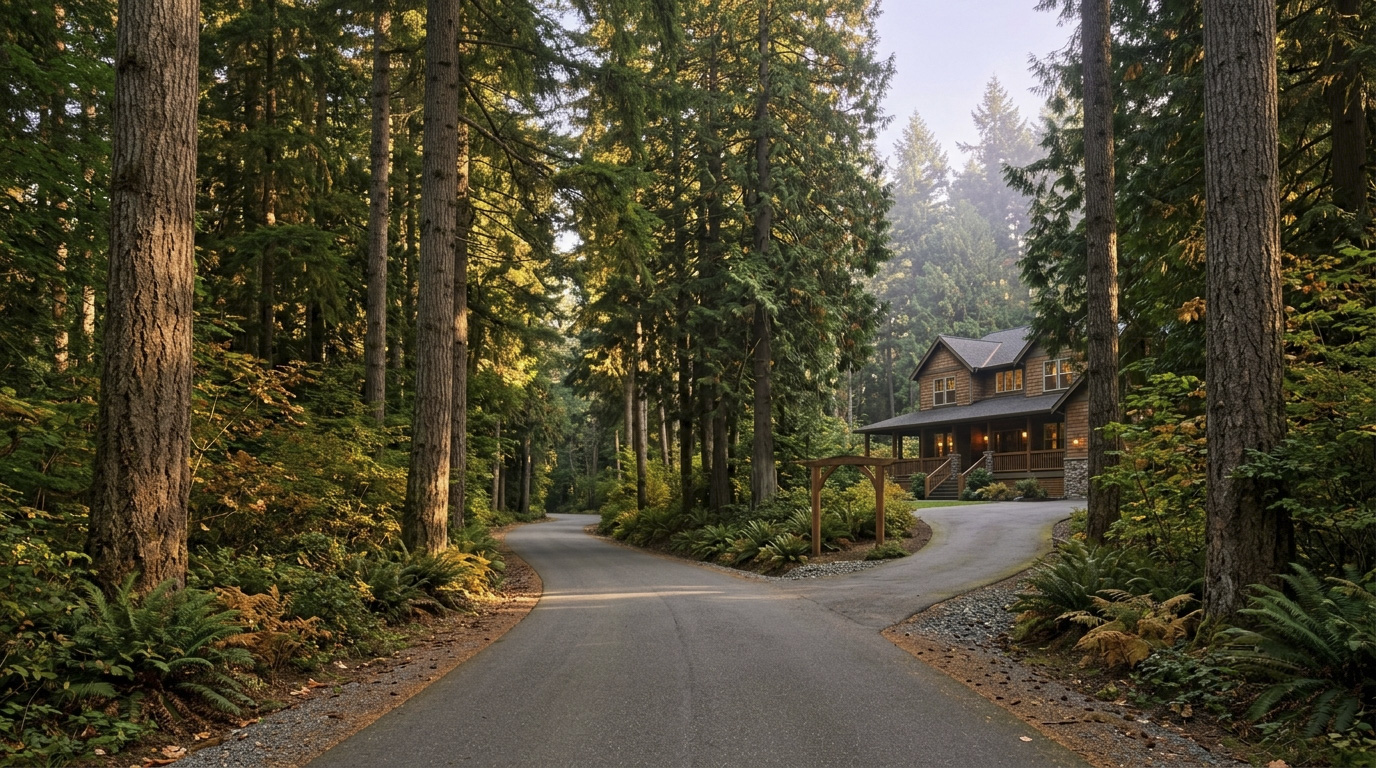
RentonSouth King County May 18, 2026

Living in Renton, WA — This Guide Has Moved

This guide has moved. You’re being taken to the current version: Living in Renton, WA — 2026 Real Estate & Neighborhood Guide.

EastsideKing County Cities May 18, 2026

Living in Bellevue, WA – Your 2026 Real Estate & Lifestyle Guide

Is Bellevue, WA a Good Place to Live?

Living in Bellevue, WA puts you at the center of one of the most dynamic cities in the Pacific Northwest. In March 2026, the East Link 2 Line opened across Lake Washington for the first time, connecting Bellevue Downtown Station to Seattle’s Westlake Station in about 25 minutes. That is a trip that used to mean 45 to 60 minutes in traffic on I-90. That single change transformed what it means to live in Bellevue. You now get the space, the schools, and the lifestyle of the Eastside with a fast, traffic-free ride into the city whenever you need it.

Add in the Bellevue School District — ranked the #1 school district in Washington for 2026 by Niche, for the third year in a row — and you start to understand why buyers keep choosing Bellevue even at prices that would have seemed extraordinary just a decade ago. The citywide median home price sat at about $1.83 million in July 2026. That number is real, and it reflects real demand. Bellevue is not cheap. But for if you want top schools, walkable urban amenities, tech employer proximity, and now light rail to Seattle, it continues to deliver on every front.

The feel of Bellevue depends entirely on which neighborhood you are in. Downtown has the energy of a real city — glass towers, Whole Foods, Lincoln Square, and light rail at your doorstep. Drive five minutes south into Somerset and you are on a forested hillside with Olympic Mountain views and a quiet residential feel that has nothing in common with downtown. Drive northeast into Bridle Trails and you are in a semi-rural enclave where some homeowners keep horses. Bellevue is not one city. It is several, layered on top of each other, and picking the right one requires knowing what each area actually looks like on a weekday morning.

Bellevue Washington residential street with mature trees and Pacific Northwest homes
Bellevue’s residential character varies dramatically by neighborhood — from quiet forested streets in Bridle Trails to walkable urban blocks in Downtown.

Bellevue WA Real Estate Market in 2026

The Bellevue market sits at a citywide median of approximately $1.83 million in July 2026, essentially flat from a year ago — down about 1%. The range is wide. Condos in Factoria and Crossroads start below $600,000. Single-family homes in West Bellevue and Medina run $2 million to $5 million and higher. The pricing story in Bellevue is really several different stories depending on which neighborhood and which housing type you are shopping.

What has changed in 2026 is the pace. Bellevue spent 2021 through 2023 as one of the most aggressive seller’s markets in the country — waived inspections, waived financing, offers 15% over asking. That era is not fully over, but it has cooled. Well-priced homes in strong school zones are still moving in two to three weeks. Overpriced homes or homes with condition issues are now sitting for four to six weeks, which gives buyers time to breathe, inspect, and negotiate. That is a healthy market, even if some sellers have not fully adjusted their expectations yet.

The light rail opening is worth tracking closely as a market signal. Neighborhoods within walking distance of Bellevue Downtown Station and South Bellevue Station have seen increased buyer interest since the March 2026 opening. Downtown condos and townhomes in particular have attracted buyers who previously only looked at Seattle because of the transit access.

Commute Times from Bellevue, WA

Bellevue’s commute story changed significantly in March 2026 when the 2 Line opened across Lake Washington. For the first time, you can get from Bellevue Downtown Station to Seattle’s Westlake Station in about 25 to 28 minutes by rail, with trains running every 8 to 10 minutes during peak hours. That is a genuine alternative to driving I-90, which during AM rush can run 45 to 60 minutes depending on the day. The 2 Line also runs east to Redmond Technology Station, making it useful for Microsoft commuters heading the other direction.

Bellevue Washington East Link 2 Line light rail station opened March 2026
The 2 Line opened across Lake Washington in March 2026, connecting Bellevue Downtown Station to Seattle’s Westlake Station in about 25 minutes.
Destination Distance 2026 Peak Commute Transit Option
Downtown Seattle 10 miles 25 min rail / 45-60 min drive 2 Line light rail
Amazon (South Lake Union) 12 miles 30 min rail / 45-55 min drive 2 Line to Capitol Hill transfer
Microsoft (Redmond) 8 miles 15-25 min drive / 20 min rail SR-520 or 2 Line east
Bellevue Tech Corridor 0-5 miles 5-15 min drive Drive / 2 Line / walk
SeaTac Airport 15 miles 25-40 min drive / 45 min rail I-405 South or 2 Line to 1 Line

The 2 Line runs every 8-10 minutes during peak hours. For anyone working in downtown Seattle or South Lake Union, this changes the calculus on living in Bellevue compared to even a year ago.

Best Neighborhoods in Bellevue, WA

Bellevue has more variety than most people realize. You can buy a condo near light rail for under $700,000, a Craftsman in Somerset for $2 million, or a waterfront estate in West Bellevue for $4 million-plus. Here is a practical breakdown of each neighborhood to help you figure out where to start looking.

West Bellevue

West Bellevue is Bellevue’s most exclusive address. This area runs between downtown and Lake Washington, and includes some of the highest-priced real estate in Washington State. Homes range from $2 million for a modest single-family to $10 million-plus for lakefront estates. The character is established, private, and tree-lined — large lots, mature landscaping, and very little turnover. Medina and Hunts Point are technically separate cities but feel like the same fabric. All are served by the Bellevue School District. Students typically attend Bellevue High School, rated 10/10 on GreatSchools. If waterfront or near-water luxury is on your list, this is the area.

Deep Dive: West Bellevue →

Downtown Bellevue

Downtown Bellevue has become a genuine urban core over the last decade. Whole Foods, Lincoln Square, Bellevue Square, and a dense concentration of tech offices anchor a walkable city center that rivals any suburb in the country for amenities. Housing is predominantly condos and high-rise apartments, with prices ranging from the mid-$600,000s for a one-bedroom to $3 million-plus for a penthouse. Bellevue Downtown Station on the 2 Line makes this the most transit-connected address in the city — 25 minutes to Seattle by rail, no traffic. Buyers who want walkability, urban energy, and the fastest commute to Seattle on the Eastside will find Downtown Bellevue is now in a different conversation than it was two years ago.

Deep Dive: Downtown Bellevue →

Somerset

Somerset sits on a hillside in southeast Bellevue with some of the best views in the city — Olympic Mountains, Puget Sound, Lake Washington, and downtown Bellevue all visible from the right lot. Homes are mostly single-family, built from the 1970s through the 1990s, ranging from 1,800 to 4,000 square feet on lots of 7,000 to 15,000 square feet. The median runs around $2 million. Somerset is served by the Bellevue School District and feeds into Newport High School, ranked #3 in Washington State by US News. Somerset Community Park and the Lakemont trail system are right at the door. This is one of the best value propositions in Bellevue for buyers who want a view, a yard, and top BSD schools at a price below West Bellevue.

Deep Dive: Somerset →

Bridle Trails

Bridle Trails is one of Bellevue’s most distinctive neighborhoods — a semi-rural enclave in the northeast part of the city, built around the Bridle Trails State Park equestrian system. Homes sit on larger lots, often half an acre or more, with horses allowed in some sections. The character is quiet and wooded, a genuine contrast to the dense urban core just a few miles away. Homes range from 2,500 to 5,000 square feet, mostly built from the 1970s through the 1990s, with some newer construction on the edges. The median runs $2 million to $2.5 million. Bridle Trails is served by the Bellevue School District and feeds into Interlake High School, ranked #7 in Washington by US News. If you want acreage, privacy, and a trail system in your backyard while staying close to Bellevue and Kirkland, Bridle Trails belongs on your list.

Deep Dive: Bridle Trails →

Newport Hills

Newport Hills is a family-oriented neighborhood in southeast Bellevue, sitting just north of the I-90 corridor and west of Lakemont. The area has an established, walkable character — tree-lined streets, a small neighborhood shopping center, and a genuine sense of community that newer master-planned areas do not always achieve. Homes are primarily single-family, built from the 1960s through the 1980s, ranging from 1,600 to 3,000 square feet on lots of 8,000 to 15,000 square feet. The median runs around $1.5 million to $1.8 million. Newport Hills is served by the Bellevue School District and feeds into Newport High School. Newport Hills Park and the Coal Creek Trail are both easily walkable from most addresses here.

Deep Dive: Newport Hills →

Crossroads

Crossroads is one of Bellevue’s most diverse and accessible neighborhoods, located in the central-east part of the city around the Crossroads Shopping Center. The character is practical and community-oriented, with a well-known farmer’s market, a community center, and a shopping district that reflects the neighborhood’s genuine cultural mix. Housing ranges from condos and townhomes in the $600,000s to single-family homes in the $900,000 to $1.3 million range. This is the most affordable Bellevue option for buyers who want a single-family home with a yard and full access to the Bellevue School District. Students typically attend Sammamish Senior High School, rated 8/10 on GreatSchools. For buyers priced out of Somerset or Lakemont, Crossroads is worth a serious look.

Deep Dive: Crossroads →

Eastgate / Factoria

Eastgate and Factoria sit in the southeast corner of Bellevue near I-90, making them the city’s most commuter-practical neighborhoods for anyone heading toward Issaquah or the South Sammamish Plateau. Factoria is primarily condos and townhomes — the most affordable entry point in Bellevue proper — with median condo prices starting below $600,000. Eastgate has a wider mix, with single-family medians in the $1.1 million to $1.4 million range. South Bellevue Station on the 2 Line is right in this area, connecting the neighborhood to downtown Seattle by rail in about 20 minutes. Both areas are served by the Bellevue School District. This corridor is worth serious consideration for buyers who want BSD school access at the lowest possible price of entry.

Deep Dive: Eastgate / Factoria →

Lakemont

Lakemont is a newer master-planned community in southeast Bellevue, developed primarily in the 1990s and 2000s on a forested hillside above I-90. The character is clean, family-oriented, and trail-connected — the Lakemont trail network links directly to Cougar Mountain Regional Wildland Park, one of the best open-space parks on the Eastside. Homes range from 2,000 to 4,000 square feet on lots of 5,000 to 10,000 square feet, with a median around $1.4 million to $1.6 million. Lakemont is served by the Bellevue School District and feeds into Newport High School. Buyers who want a newer home, a trail-connected community, and a slightly more accessible price than Somerset will find Lakemont worth a close look.

Deep Dive: Lakemont →

West Bellevue Washington luxury residential homes representing the Eastside's premium real estate market
Bellevue has more neighborhood variety than most people realize — from walkable downtown condos under $700K to West Bellevue estates above $4M.

Bellevue WA Home Values and Investment Outlook

Bellevue’s market is one of the most durable in King County over any 10-year horizon. The fundamentals are real: the #1 school district in Washington, a growing downtown employment base, and now direct light rail to Seattle. These are not marketing claims. They are the reasons buyers keep absorbing the price premium year after year.

What is different in 2026 is that the absorption of that premium is less frantic. Well-priced homes in the $1 million to $2 million range are still competitive. Above $2 million, the market has more days on market and more room to negotiate than at any point in the last five years. Luxury buyers are asking for inspections, financing contingencies, and price reductions. That is a meaningful shift. The same home that sold with 8 offers in 2022 is now selling with 2 offers and a price reduction after three weeks if the listing price was stretched.

The neighborhoods that hold value best in Bellevue consistently share these traits: Bellevue School District assignment, construction from 1990 or later, a usable yard, and access to parks or trails. Downtown condos with light rail walkability have gained a new premium since March 2026. The areas softening the most are larger older homes above $2.5 million in need of updates — buyers at that price point want turnkey and they have the negotiating room to demand it.

Bellevue Washington modern Craftsman home exterior representing 2026 real estate market values
Well-priced Bellevue homes in the $1M-$2M range are still competitive in 2026, but the luxury market above $2.5M has more room to negotiate than at any point in the last five years.

Frequently Asked Questions: Living in Bellevue, WA

Is Bellevue, WA a good place to live?

Bellevue consistently ranks as one of the best cities to live in Washington State. The combination of the #1-ranked school district in Washington, a walkable urban downtown, light rail to Seattle, and proximity to Eastside tech employers makes it a top destination for families and professionals. The main tradeoffs are high home prices and cost of living.

What is the average home price in Bellevue, WA in 2026?

The citywide median home price in Bellevue was approximately $1.83 million in July 2026. The range is wide — condos in Factoria and Eastgate start below $600,000, while single-family homes in West Bellevue and Somerset run $2 million to $4 million and higher. The most competitive price bracket is $1 million to $1.8 million for well-located single-family homes in the Bellevue School District.

What school district is Bellevue, WA in?

Nearly all of Bellevue is served by the Bellevue School District (BSD 405), ranked the #1 school district in Washington for 2026 by Niche. The district’s high schools — Bellevue, Newport, Interlake, and Sammamish — all have strong academic profiles, with Newport and Interlake ranking in the top 10 in the state. Always confirm the specific feeder school for any address before writing an offer.

Is there light rail in Bellevue, WA?

Yes. As of March 2026, the 2 Line (East Link) opened across Lake Washington. Bellevue has two stations: Bellevue Downtown Station and South Bellevue Station. The ride to Seattle’s Westlake Station takes about 25 to 28 minutes. The line also runs east to Redmond Technology Station. Trains run every 8 to 10 minutes during peak hours.

How far is Bellevue from Seattle?

Bellevue is about 10 miles east of downtown Seattle, separated by Lake Washington. By car on I-90 during AM peak, expect 45 to 60 minutes. By the 2 Line from Bellevue Downtown Station, the trip to Westlake Station takes about 25 minutes — consistently faster than driving during rush hour.

Explore Bellevue, WA Yourself

The best way to understand Bellevue is to walk it. Start at Bellevue Downtown Park, then walk through Bellevue Square and over to the 2 Line station. Drive south to Somerset for the views, then cut through Crossroads to see the community market. Finish by looping through Bridle Trails to see what Bellevue looks like when you get off the main roads. One afternoon does more than a month of listings research.


View Bellevue on Google Maps →

Your guide to life outside Seattle.

Gregory Dorrell | Coldwell Banker Bain | WA License #111862
253-350-0045  ·
greg@livingoutsideseattle.com  ·
www.livingoutsideseattle.com
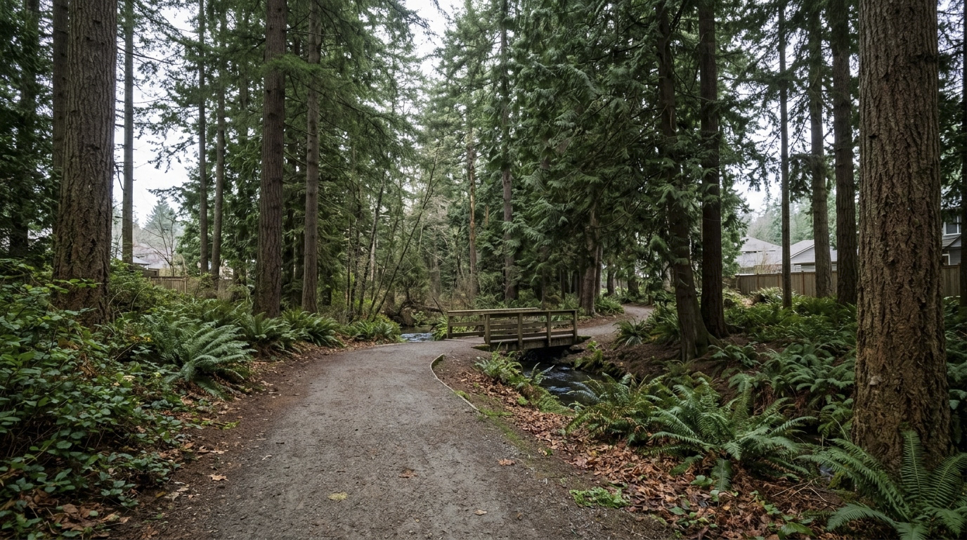
South King County May 18, 2026

Living in Auburn, WA: 2026 Neighborhood & Real Estate Guide

Is Auburn, WA a Good Place to Live?

Living in Auburn, WA gives you something that is genuinely hard to find in King County right now: a real house, a real yard, and a real commute to Seattle — all at a price that does not require two tech salaries to pull off. Auburn’s residential median has run between the low $600s and the mid $700s through the first half of 2026, landing at $650,000 in June, well below the King County residential median of $998,000. That gap is real, and it is the reason Auburn is one of the most searched cities in south King County for buyers who want more space without moving to Pierce County.

Auburn is not a city that tries to be trendy. It is practical, diverse, and genuinely livable. The Green River Trail runs right through the city. The Sounder commuter rail connects you to downtown Seattle without fighting I-5. Boeing, the Port of Seattle, and a massive south King County logistics and warehouse sector all sit within 20 miles. For first-time buyers, growing families, and relocators from high-cost states, Auburn consistently shows up as one of the strongest value plays in the Seattle metro.

Auburn Washington Sounder commuter train station providing direct rail access to downtown Seattle from King County
Auburn’s Sounder Station connects residents to downtown Seattle in about 50 minutes — no freeway required.

Auburn WA Commute Times to Seattle and Beyond

Moving to Auburn, Washington means living on one of the best-connected transit corridors in south King County. The Auburn Sounder Station is the city’s most underrated asset — it connects you to downtown Seattle without touching I-5, which is a genuine quality-of-life upgrade during rush hour. Sound Transit also runs express bus routes from multiple Auburn park-and-ride locations. Drivers have SR-167 heading north to Renton and Bellevue, and I-5 heading toward Federal Way and Tacoma.

Destination Distance 2026 Peak Commute Transit Option
Downtown Seattle 30 miles 45 to 65 min Sounder Train / I-5
Amazon (South Lake Union) 30 miles 50 to 70 min Sounder + Light Rail Transfer
Microsoft (Redmond) 35 miles 50 to 70 min SR-167 to SR-520 / Drive
Bellevue Tech Corridor 22 miles 35 to 50 min SR-167 North / I-405
SeaTac Airport 15 miles 20 to 30 min SR-167 / Drive

Times reflect honest peak-hour conditions, not best-case scenarios. I drive these routes regularly for BPO inspection work, and the SR-167 corridor can back up significantly between Auburn and Renton during morning rush.

Best Neighborhoods in Auburn, WA

Auburn covers a wide geographic area with distinct neighborhoods — each with its own character, price range, and school assignment. Here is a breakdown of the main areas buyers need to understand before starting their search.

Lea Hill neighborhood in Auburn WA featuring suburban homes on the plateau with Pacific Northwest mountain views
Lea Hill — Auburn’s elevated plateau neighborhood with views, newer construction, and strong school assignments.

Lea Hill

Lea Hill sits on a plateau east of Auburn’s core, overlooking the Green River valley. The vibe is suburban and quiet, with a mix of families and long-term residents who appreciate the views and the breathing room. Homes here are mostly 1990s to 2010s construction, running from 1,800 to 3,200 sq ft on lots between 5,000 and 10,000 sq ft. Median prices run $650,000 to $750,000. Most students attend Lea Hill Elementary and Auburn Mountainview High School. Sunrise Park is the main neighborhood park, and nearby Green River College adds a practical anchor.

Deep Dive: Lea Hill →

Read our full deep-dive on Lea Hill →

West Auburn / Downtown Corridor

This is the historic heart of Auburn, built around the original downtown and the Sounder rail station. The character is urban for Auburn — walkable blocks, older commercial buildings, and a mix of housing types. Single-family homes typically run 1,000 to 1,800 sq ft on compact lots, with prices often starting in the $460,000 to $530,000 range — some of the lowest in the city. Students attend Dick Scobee Elementary and Auburn High School. The Auburn Farmers Market, Game Farm Park, and the White River Amphitheatre are all close by.

Deep Dive: West Auburn →

Lakeland Hills

Lakeland Hills is a master-planned community on the south end of Auburn straddling the King-Pierce County line. The character is clean, organized, and family-forward, with wide streets, consistent landscaping, and a central park with splash pad and sports fields. Homes are mostly 1995 to 2015 construction, ranging from 1,600 to 3,500 sq ft. Parts of Lakeland Hills fall in the Auburn School District and parts fall in the Dieringer School District — school assignment depends on your exact address, so always confirm before you make an offer. Auburn SD students typically attend Lakeland Hills Elementary and Auburn Mountainview High School. Dieringer SD students attend Dieringer Heights Elementary and North Tapps Middle School.

Deep Dive: Lakeland Hills →

Auburn Valley / East Main

The Auburn Valley and East Main Street area runs along Auburn’s eastern edge, where the terrain rises toward the Covington foothills. The character is semi-rural with some suburban pockets — larger lots, older homes, and more breathing room. Homes range from 1970s to early 2000s construction, typically 1,500 to 2,800 sq ft, with lots from a quarter acre to over an acre in some pockets. Most addresses along the Auburn Way South corridor feed Chinook Elementary, Cascade Middle School, and Auburn Senior High School, though the feeder shifts toward Auburn Mountainview High closer to the eastern foothills. Always verify your exact address with the district. The Green River Trail’s eastern sections pass through here, making it popular with cyclists and walkers.

Deep Dive: Auburn Valley →

Terrace View / North Auburn

North Auburn runs between the downtown core and the Kent city line along Auburn Way North. Terrace View is one of the established neighborhoods in this corridor, with homes mostly built from the 1960s through the 1980s. Sizes run 1,200 to 2,200 sq ft on lots from 6,000 to 10,000 sq ft. Prices here are among the lowest in Auburn — a real opportunity for buyers willing to update an older home. Students typically attend Ilalko Elementary and Mt. Baker Middle School, feeding into Auburn High School. Game Farm Wilderness Park is the main neighborhood green space.

Deep Dive: North Auburn →

Cobble Creek / Verdana

Cobble Creek and Verdana are two of Auburn’s newer planned communities near the SR-18 interchange in the southeast corner of the city. These neighborhoods were built mostly between 2005 and 2018, with homes running 2,000 to 3,500 sq ft on lots from 4,000 to 7,000 sq ft — Northwest contemporary style with open floor plans and attached garages. Verdana students typically attend Arthur Jacobsen Elementary and Cascade Middle School, feeding into Auburn Mountainview High. Easy SR-18 access toward Covington and the Outlet Collection Seattle is a practical plus.

Deep Dive: Cobble Creek / Verdana →

The Bridges

The Bridges is Auburn’s most upscale planned community, tucked into the hills on Auburn’s northeast corner near the Kent boundary. The vibe is gated and polished — tree-lined streets, larger lots, and homes running 2,400 to 4,500 sq ft on lots from 7,000 to 14,000 sq ft. Some homes have territorial views. Students typically attend elementary schools in the Lea Hill zone, then Rainier Middle School, and Auburn Mountainview High School. If you want more home for your dollar compared to similar properties in Renton or Kent, The Bridges is consistently at the top of that list.

Deep Dive: The Bridges →

South Auburn / Muckleshoot Area

South Auburn runs along Auburn Way South toward the Muckleshoot Casino and the Pierce County line. The character is more commercial and transitional, but affordable residential pockets exist with solid single-family homes. Most homes are 1960s to 1990s construction, ranging from 1,000 to 2,000 sq ft on lots from 5,000 to 8,500 sq ft. Students attend Chinook Elementary and Cascade Middle School, feeding into Auburn High School. Buyers focused strictly on value and South King County employment proximity find Auburn’s lowest prices per square foot here.

Deep Dive: South Auburn →

Auburn Washington real estate market 2026 -- suburban home with green lawn representing home values and investment opportunity in King County
Auburn’s 2026 market offers real opportunity for buyers — more inventory, more time to inspect, and honest pricing from sellers.

Auburn WA Real Estate Market in 2026

King County’s residential median sits at $998,000 as of June 2026, and Auburn’s June median of $650,000 makes it one of the most affordable cities in the county for single-family homes. Active residential listings across King County have more than doubled since January, which has brought some welcome balance to the market. The typical well-priced Auburn home went pending in about 8 days in June, quick by any standard, but with roughly 3.4 months of supply sitting on the market, buyers finally have real selection and room to negotiate on the homes that linger.

Price ranges vary significantly by neighborhood. Southeast Auburn (zip 98092), which includes Lea Hill and Lakeland Hills, runs $650,000 to $820,000 for move-in-ready homes. Downtown Auburn (zip 98002) starts closer to $460,000 to $530,000. West Auburn and North Auburn (zip 98001) are the most affordable pockets, with single-family homes often starting in the upper $400,000s. No matter which part of Auburn you are shopping in, you are still buying well below the King County average.

The inventory increase across King County has been a real shift for Auburn buyers in 2026. A year ago, a 2,000 sq ft three-bedroom in Lea Hill would go under contract in a weekend with multiple offers. Today, those same homes split fast: the sharp ones still move inside a couple of weeks while anything overpriced sits, and that split is genuinely valuable. Buyers can get a real inspection done, ask for repairs, and negotiate without panic.

For sellers, the message is clear: accurate pricing from day one matters more than it has in years. Homes that launch above where the data says they should be are the ones that sit for two and three months. Homes that were priced correctly in early 2026 are still selling — they just require patience and honest expectations.

Over the last 12 months, Auburn prices have been firming up, with the June median about 3.7% higher than a year earlier. Lakeland Hills and The Bridges have held up the best. Older homes in North Auburn and parts of South Auburn have softened more, which creates real opportunity for buyers willing to do some work.

The Bridges upscale neighborhood in Auburn WA with larger craftsman homes and tree-lined streets in King County
The Bridges — Auburn’s most upscale planned community, with larger homes and territorial views near the Kent border.

Frequently Asked Questions: Living in Auburn, WA

Is Auburn, WA a good place to live?

Auburn is a strong fit for buyers who want affordability, practical highway and transit access, and a real Pacific Northwest lifestyle without paying Eastside prices. It is not the trendiest city in King County, but it offers something more valuable right now: a home you can actually afford, a yard you can use, and a commute you can manage. For first-time buyers, growing families, and relocators from high-cost markets, Auburn consistently ranks as one of the best value cities in the Seattle metro.

What is the average home price in Auburn, WA in 2026?

Auburn’s residential median was $650,000 in June 2026, with monthly medians ranging from the low $600s to the mid $700s this year. That varies significantly by area: Southeast Auburn (Lea Hill, Lakeland Hills) runs $650,000 to $820,000, while Downtown Auburn starts closer to $460,000. Well-priced homes are moving in days, but with more than three months of supply on the market, buyers have real selection and negotiating room.

What are the best neighborhoods in Auburn, WA?

The best neighborhood depends on your priorities. For newer construction and strong schools, Lea Hill and Lakeland Hills lead the pack. For the best Sounder commute access and lowest prices, Downtown Auburn and North Auburn are worth a close look. For more space and a semi-rural feel, Auburn Valley and East Main offer larger lots. For the most upscale finished product in Auburn, The Bridges delivers at a price still well below comparable Renton or Kent options.

How far is Auburn, WA from Seattle?

Auburn is about 30 miles south of downtown Seattle. By Sounder commuter train, the trip takes roughly 50 minutes without any freeway driving. By car on I-5, expect 45 to 65 minutes during AM peak hours. SR-167 to I-5 is the main driving route. For frequent Seattle commuters, the Sounder is one of Auburn’s most practical advantages.

What school district is Auburn, WA in?

Most of Auburn is served by the Auburn School District. Parts of south Auburn (Lakeland Hills) overlap with the Dieringer School District in Pierce County. Always confirm the school district for any specific address before writing an offer — it matters for both school assignment and resale value.

Explore Auburn, WA Yourself

The best way to know if living in Auburn, WA is the right fit is to come out and drive it. Hit the Green River Trail by bike, walk downtown and check out the farmer’s market, then drive out to Lea Hill for the view. The range of this city is bigger than most people expect until they see it in person.

View Auburn on Google Maps

Your guide to life outside Seattle.

Gregory Dorrell | Coldwell Banker Bain | WA License #111862
253-350-0045 ·
greg@livingoutsideseattle.com ·
www.livingoutsideseattle.com
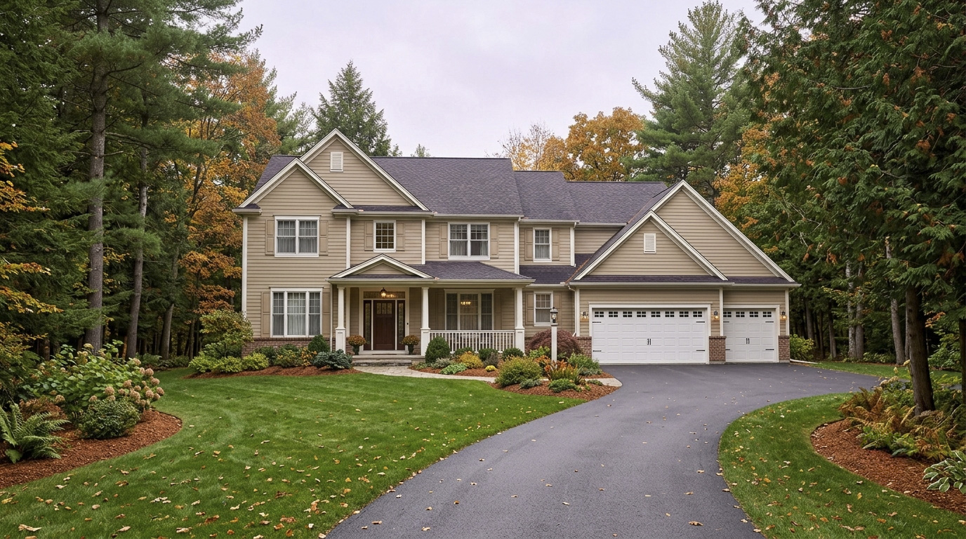
EastsideKing County Cities May 17, 2026

Living in Sammamish, WA | 2026 Real Estate & Lifestyle Guide


Is Sammamish, WA a Good Place to Live?

Living in Sammamish, WA means trading a shorter commute for one of the best school systems in Washington State — and for most if you move here for the schools, that trade is worth every dollar. Sammamish sits on a plateau above Lake Sammamish, directly between the Microsoft campus in Redmond and the tech corridor in Bellevue. The city incorporated in 1999 and has grown steadily ever since, built almost entirely on master-planned communities with trails, parks, and strong HOA infrastructure. It is not a city that happened organically. It was designed for families, and it shows.

The median home price in Sammamish ran about $1.73 million in July 2026 — well above the King County median of $1 million. That premium exists for real reasons: the Issaquah and Lake Washington school districts consistently rank among the top performers in the state, the commute to Microsoft and Bellevue tech employers is 10 to 30 minutes by car, and the trail system connecting Beaver Lake Preserve, Lake Sammamish State Park, and dozens of neighborhood parks makes the outdoor lifestyle genuinely accessible. For buyers who can afford the price of entry, Sammamish delivers on what it promises.

Sammamish WA Real Estate Market in 2026

Sammamish home prices have firmed up over the last 12 months — up roughly 5% year-over-year citywide — after a softer stretch in 2025. The citywide median sat at about $1.73 million in July 2026, with meaningful differences by zip code. Zip 98075, which covers the southern and central plateau including Trossachs and Aldarra, generally runs above the citywide median. Zip 98074, covering the western and northern areas including Klahanie and Tally Ho, generally runs below it. Those are real differences for buyers working with a specific budget.

The market is still competitive by most standards — well-priced homes in strong school zones are still moving in one to three weeks with multiple offers. What has changed is the middle of the market. Homes in the $1.2 million to $1.6 million tier that have condition issues or are priced 5% to 8% above comparable sales are now sitting for four to six weeks before going under contract. That extra time is valuable. It gives buyers room to do a real inspection, review HOA documents thoroughly, and negotiate without the panic of 2021 and 2022.

One number worth knowing: the measurable school district premium in Sammamish is $50,000 to $100,000. Two otherwise identical homes — same year built, same square footage, same condition — can differ by that much based solely on whether they sit in the Issaquah School District versus outside it. Buyers should understand they are paying for that assignment, and sellers should make sure they are marketing it clearly.

Sammamish WA Commute Times to Seattle and Beyond

Sammamish is a car-dependent city in 2026. There is no light rail in Sammamish itself — the nearest stations are Redmond Technology Station on the 2 Line (about 10 miles west) or Bellevue Downtown Station on the same line. King County Metro runs several routes to the Issaquah Highlands Park and Ride and the Eastgate Park and Ride, where riders can connect to express buses toward Seattle. Most Sammamish residents drive to work or drive to a transit hub. If your job is in Redmond or Bellevue and you can flex your schedule past 9 AM, commute times drop meaningfully compared to peak-hour estimates below.

SR-520 floating bridge commute route from Sammamish to Seattle across Lake Washington
Most Sammamish commuters take SR-520 or I-90 toward Bellevue, Redmond, or Seattle. Peak-hour times vary significantly.

Destination Distance 2026 Peak Drive (AM) Transit Option
Downtown Seattle 24 miles 40 to 60 min I-90 / Bus to Link
Amazon (South Lake Union) 22 miles 40 to 60 min SR-520 / Drive or Bus Transfer
Microsoft (Redmond) 10 miles 20 to 35 min SR-202 / Drive
Bellevue Tech Corridor 10 miles 20 to 30 min SR-520 / I-405 / Drive
SeaTac Airport 28 miles 35 to 55 min I-405 South / Drive

The Sammamish to Bellevue stretch on SR-520 and I-405 is one of the most congested corridors in the region during morning rush. If your job allows schedule flexibility, even shifting your start time by 30 minutes makes a real difference.

Best Neighborhoods in Sammamish, WA

Sammamish is made up almost entirely of master-planned communities built between 1990 and 2015. Each has defined boundaries, consistent character, and HOA governance. Here is a guide to the main areas buyers should understand before starting their search.

Sammamish Washington plateau streetscape with Craftsman homes and tree-lined residential street
Sammamish neighborhoods are mostly master-planned communities built between 1990 and 2015, with strong HOA infrastructure and trail connectivity.

Trossachs

Trossachs is one of Sammamish’s largest and most established neighborhoods, located in the southwest part of the city. The character is leafy and well-organized, with winding streets, mature trees, and strong community infrastructure. Homes were mostly built between 1993 and 2005, ranging from 2,200 to 4,500 square feet on lots from 6,000 to 12,000 square feet. This is a high-demand neighborhood because of the school assignments and the quality of the housing stock. Students attend Sunny Hills Elementary, Pine Lake Middle School, and Skyline High School — rated 10 out of 10 on GreatSchools and consistently ranked in the top 5% of Washington high schools.

Trossachs neighborhood Sammamish WA with two-story Craftsman homes and mature trees

Klahanie

Klahanie sits on the western edge of Sammamish in unincorporated King County, but it is closely tied to the city in terms of identity and school assignment. The neighborhood is community-driven with its own amenity center, pools, tennis courts, and a small retail core with a Safeway. Homes range from 1,800 to 3,800 square feet, built mostly between 1988 and 2000. Klahanie is split between the Issaquah and Bellevue school districts depending on the specific street — always confirm the school assignment for any specific address before writing an offer.

Pine Lake

The Pine Lake area surrounds the actual lake of the same name in the central-east part of Sammamish. The character is a mix of older lakefront properties and newer hillside developments. Lakefront homes are rare and expensive, often well above the city median. Hillside homes near Pine Lake run 2,000 to 3,500 square feet on lots from 8,000 to 15,000 square feet, with some backing to Beaver Lake Park or the Pine Lake shoreline. Students are served by the Issaquah School District, with Pine Lake Middle School as a common assignment.

Tally Ho / Inglewood Hill

The Tally Ho and Inglewood Hill area covers the central ridgeline of Sammamish, with homes that often capture views of the Cascades or the valley below. Lots run from 10,000 square feet to a half acre and home sizes span 2,000 to 5,000 square feet across a wide range of construction years. This area falls primarily in the Lake Washington School District, feeding into Eastlake High School — ranked 6th in Washington State.

East Lake Sammamish Parkway

The homes along East Lake Sammamish Parkway are among the most sought-after in the city. This narrow strip runs the eastern edge of Lake Sammamish and includes everything from modest mid-century lakefront cottages to modern estates on the water. Lakefront prices start around $2 million and run significantly higher for turnkey properties with dock rights. Lake Sammamish State Park is the dominant recreational anchor for this entire corridor. If waterfront living is on your list, this is the area to study first.

East Lake Sammamish Parkway waterfront homes with Lake Sammamish shoreline and residential docks

Sahalee

Sahalee is a private gated community on the western plateau of Sammamish, built around the Sahalee Country Club — one of Washington’s most prestigious private golf courses. The character is upscale, quiet, and centered on the golf and country club lifestyle. Homes range from 2,800 to over 6,000 square feet, built mostly from the late 1980s through the 2000s, on lots from 10,000 to 20,000 square feet. Sahalee is served by the Issaquah School District. HOA fees here are higher than most Sammamish neighborhoods — always request the full HOA disclosure and reserve study before removing your financing contingency.

Sahalee Country Club community Sammamish WA with golf course views and luxury single-family homes

Aldarra

Aldarra is a high-end planned community in the southern part of Sammamish, built around the Aldarra Golf Club. The character is refined and private, with larger lots, newer custom homes, and a consistent level of finish throughout. Homes range from 3,000 to over 5,500 square feet, built mostly between 2000 and 2015, on lots from 10,000 square feet to over half an acre. Aldarra is served by the Issaquah School District. Students here typically attend Sunny Hills Elementary, Pine Lake Middle, and Skyline High.

Plateau Communities: Vistas, Highlands, and Eastridge

The plateau communities in central and eastern Sammamish — including Vistas, Highlands, and Eastridge — represent the city’s broadest middle market. These are solid single-family neighborhoods built between 1995 and 2012, with homes typically running 2,000 to 3,800 square feet on lots from 5,000 to 9,000 square feet. These communities are served by both the Issaquah and Lake Washington school districts depending on exact location — confirm before writing an offer. Buyers who want a move-in-ready Sammamish home at a more accessible price point than Trossachs or Sahalee typically land in these plateau communities.

Sammamish WA Home Values and Investment Outlook

The inventory increase in 2026 has brought some welcome balance to a market that spent most of the last decade tilted hard toward sellers. Sammamish buyers in 2024 and 2025 often wrote offers with no inspection, waived financing contingencies, and bid 10% or more over asking. That era is not completely over, but it is fading. Well-priced, well-presented Sammamish homes are still selling in one to three weeks with competitive offers. Overpriced homes or homes with condition issues are now sitting for a month or longer — something that felt impossible here just two years ago.

Price trends show the most softening in the $1.2 million to $1.6 million tier, while homes under $1.1 million and luxury properties above $2 million have held up relatively better. If you are selling in the middle tier, pricing discipline and presentation quality matter more than they have in years.

Sammamish Washington real estate 2026 -- Craftsman home on plateau street with Cascade Mountain views
Well-priced Sammamish homes in good school districts still sell in one to three weeks in 2026, but overpriced homes are sitting longer than they did two years ago.

Homes that hold value best in Sammamish consistently share a few traits: strong school assignment, construction from 2000 or later, open floor plan, attached garage, and a level usable yard. Homes with great school assignments but deferred maintenance are taking a pricing penalty in 2026 that they would not have taken two years ago. Buyers are not willing to absorb condition risk the way they once were.

The 12-month picture for Sammamish is steady, not flashy. Buyers who pay attention to school zones, inventory timing, and lot quality will find real opportunities over the next few months. Sellers who price honestly and present well will still see strong results.

Frequently Asked Questions: Living in Sammamish, WA

Is Sammamish, WA a good place to live?

Sammamish consistently ranks as one of the best places to live in Washington State for families. The combination of top-rated schools, low crime, excellent parks and trails, and proximity to Eastside tech employers makes it a strong choice for buyers who can meet the price of entry. The tradeoffs are high home prices, car dependency, and HOA costs that add real money to the monthly budget.

What is the average home price in Sammamish, WA in 2026?

The median home price in Sammamish was approximately $1.73 million in July 2026, up about 5% from a year ago. Zip code 98074 (western and northern Sammamish) generally runs below the citywide median, while zip 98075 (southern and central plateau) generally runs above it. Well-priced homes in strong school zones are still moving in one to three weeks.

What are the best neighborhoods in Sammamish, WA?

For top Issaquah School District assignments and established character, Trossachs and Aldarra lead the list. For waterfront access, the East Lake Sammamish Parkway corridor is in a class of its own. For a slightly more accessible price point with strong Lake Washington SD schools, Tally Ho and Inglewood Hill are worth a close look. For move-in-ready homes at the broadest range of prices, the central plateau communities cover the most ground.

What school district is Sammamish, WA in?

Sammamish is served by two school districts depending on your exact address. Most of the city falls in the Issaquah School District, which includes top-rated Skyline High School. Parts of the northern and western city are in the Lake Washington School District, home to Eastlake High School. Some neighborhoods like Klahanie overlap with the Bellevue School District. Always confirm the specific school assignment for any address before writing an offer.

How far is Sammamish, WA from Seattle?

Sammamish is about 24 miles east of downtown Seattle. By car on I-90, expect 40 to 60 minutes during AM peak hours. There is no direct light rail to Sammamish — the nearest station is Redmond Technology Station, about 10 miles away. For the Microsoft and Bellevue tech corridor, Sammamish is a 20 to 30 minute drive, which is one of its biggest draws for tech workers.

Explore Sammamish, WA Yourself

Sammamish is best understood by getting out and driving the plateau. Head to Beaver Lake Preserve for a trail walk, then drive through Trossachs or Klahanie to see what the neighborhoods actually look and feel like. Finish at Lake Sammamish State Park to understand what the waterfront lifestyle here is about. It will tell you more than any listing ever could.

View Sammamish on Google Maps →

Your guide to life outside Seattle.

Gregory Dorrell | Coldwell Banker Bain | WA License #111862
253-350-0045  ·
greg@livingoutsideseattle.com  ·
www.livingoutsideseattle.com
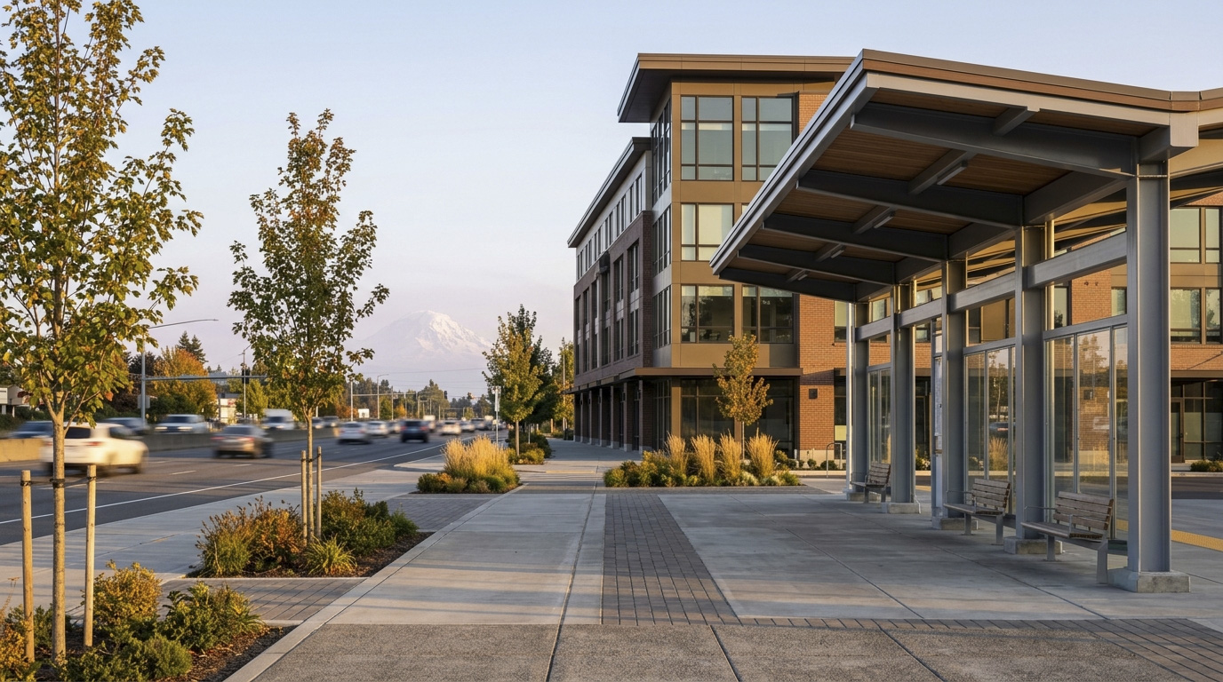
EastsideIssaquahKing County Cities May 17, 2026

Living in Mirrormont Issaquah

Mirrormont is the acreage neighborhood that sits in unincorporated King County south of Issaquah, tied to Issaquah identity for shopping, schools, and lifestyle. In 2026, with buyers looking for lot size, room for animals, and the kind of privacy that simply does not exist on the Eastside anymore, Mirrormont is one of the strongest options in the region. If you want a home where you can have horses, chickens, a workshop, and a real garden without an HOA telling you what color to paint your trim, Mirrormont delivers.

What is it actually like to live in Mirrormont in 2026?

On a weekday morning, Mirrormont feels like real country living. Driveways are long, lots are screened by mature firs and cedars, and you can hear birds and the occasional sound of a horse from a neighbor’s pasture. Most residents leave for work between 7 and 8 AM, heading north toward Issaquah and the I-90 corridor. The roads are narrow and winding, which keeps speeds down and gives the neighborhood a real rural character.

On a weekend, Mirrormont stays quiet but turns more active for residents. People walk dogs along the loop roads, ride horses on the trail easements that connect properties, and head into Tiger Mountain State Forest for hikes. The community pool opens in the summer and becomes a real gathering spot. Annual events like the neighborhood garage sale weekend and the Easter egg hunt give residents a reason to actually meet each other, which matters in a neighborhood where you cannot see your neighbor’s house.

Most residents are a mix of long-time owners who bought in the 1970s and 1980s when Mirrormont was considered the country, plus newer buyers from Bellevue and Issaquah who specifically wanted acreage and quiet. Many residents work from home or run small businesses out of detached shops on the property. What separates Mirrormont from other Issaquah-area neighborhoods is the lot rules. Most properties allow horses, chickens, and outbuildings without the restrictions that define master-planned communities. The land is the asset, and what you can do on it is the real value.

A country lane through the wooded Mirrormont neighborhood near Issaquah, with split-rail fencing along the right side.

Homes in Mirrormont: What the Data Shows

Most homes in Mirrormont were built between the 1970s and the 2000s, with the strongest concentration of construction in the late 1970s and 1980s. You will find Pacific Northwest contemporary homes, cedar-clad ranches, custom builds from the 1990s, and a smaller share of newer 2010s and 2020s rebuilds. Single-family homes typically run 2,000 to 5,000 square feet on lots between one and five acres, with a meaningful share of properties at three acres or larger. Many homes have detached shops, barns, or outbuildings that add real utility for owners who use the property. There is no townhome or condo inventory in Mirrormont. Detached single-family homes on acreage are the only product type.

Market Pulse Mirrormont (98027) King County
Median Sales Price (May 2026) ~$1,395,000 ~$859,000
Median Days on Market ~32 days ~28 days
Active Listings Change (vs. Jan 2026) +14% +30%

Estimates based on current NWMLS data for the Mirrormont residential pockets within the 98027 ZIP code. Inventory turnover here is the lowest of any Issaquah-area neighborhood, mostly because long-time owners stay put. When a property does hit the market, motivated buyers move quickly.

Schools Serving Mirrormont

Mirrormont kids attend a different school pipeline than most other Issaquah neighborhoods. Most addresses feed Maple Hills Elementary in Renton, then Maywood Middle School, then Liberty High School. All three schools are part of the Issaquah School District, but the campuses sit south of I-90 in the Renton area rather than in Issaquah proper. Always confirm your specific address with the Issaquah School District before you write an offer because a few outlier properties have been reassigned over the years.

Maple Hills Elementary is one of the smaller and more community-feeling schools in the district, with strong test scores and a tight parent-teacher ratio. Maywood Middle School has solid music and STEM programs and a strong Project Lead the Way curriculum. Liberty High School is one of the top-rated public high schools in Washington, with a 96 percent graduation rate, strong AP offerings, and a state-recognized performing arts program.

The school pipeline for Mirrormont involves driving for most families. Walking distance is essentially zero given the spread-out nature of the neighborhood. Most kids ride buses to elementary and middle school, then drive themselves to Liberty High once they are old enough.

Getting to Work from Mirrormont

Mirrormont residents typically take Issaquah-Hobart Road north to reach Issaquah and I-90. Some southern properties use SR-18 to reach I-5 or I-405. The exact route depends on which loop in the neighborhood you live on.

Destination Distance 2026 Peak Drive (AM) Transit Option
Downtown Seattle 22 miles 45 to 65 min Drive to I-90 / ST 554 from Issaquah
Bellevue / Amazon Bellevue 14 miles 28 to 40 min I-90 to I-405 / ST 554 from Issaquah
Microsoft (Redmond) 17 miles 32 to 45 min I-90 to SR-520 / Connector Bus
SeaTac Airport 24 miles 38 to 55 min SR-18 to I-5 / Drive

A maintained forest trail at the edge of the Mirrormont neighborhood near Issaquah, suitable for hikers and equestrians.

What I See as a Valuation Expert in Mirrormont

The biggest valuation factor in Mirrormont is the lot, the systems, and what the property can do. On a 1985 home with 3,000 square feet of living space sitting on two acres, the lot itself can carry 50 to 60 percent of the appraised value, with another 10 to 20 percent from any usable outbuildings, fenced pasture, or detached shop. In Mirrormont, valuation weight goes heavily to lot grade, drainage, septic system condition, well capacity, and the condition of any barns or shops. A flat usable two-acre lot with a healthy septic system and a permitted detached shop will appraise much stronger than a same-size home on a steep slope with a failing system.

The HOA picture is light by Eastside standards. The Mirrormont Park Association charges a modest annual fee that covers the pool, tennis courts, and community events, but it is voluntary in some sub-areas and not a true governing HOA. Most architectural decisions, landscaping, and outbuilding additions are governed by King County code rather than by HOA rules. That gives owners flexibility but also means properties vary widely in maintenance and condition.

Within Mirrormont, certain lots and pockets carry premium pricing. Properties with usable flat acreage suitable for horse pasture or large gardens, lots backing directly to Tiger Mountain State Forest, properties with newer wells and recently inspected septic systems, and any home with significant outbuildings tend to move first when they hit the market.

Explore Mirrormont Yourself

The fastest way to know if Mirrormont fits is to drive Mirrormont Boulevard up the hill, then turn onto a few of the side loops to see how the lot sizes open up.

View Mirrormont on Google Maps →

Your guide to life outside Seattle.

Gregory Dorrell | Coldwell Banker Bain | WA License #111862
253-350-0045  ·
greg@livingoutsideseattle.com  ·
www.livingoutsideseattle.com
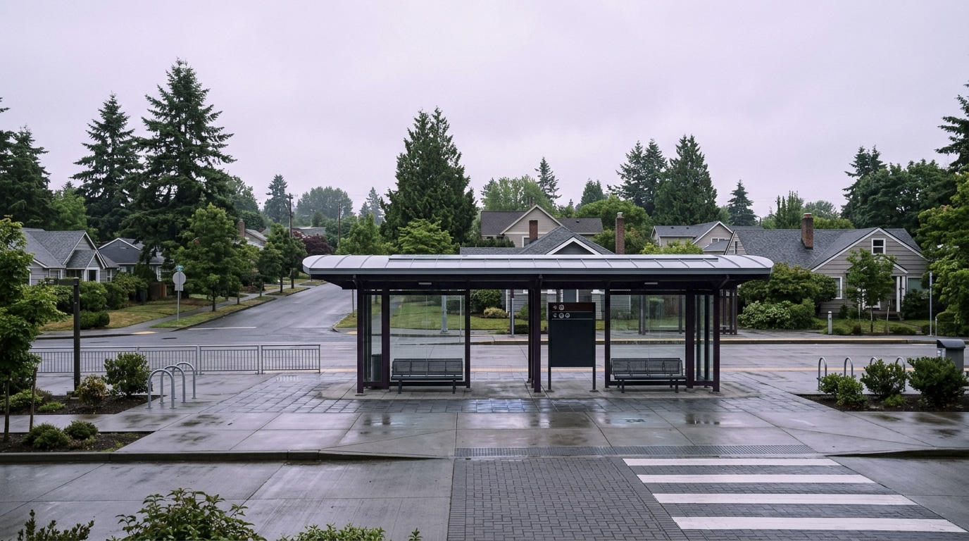
EastsideIssaquahKing County Cities May 15, 2026

Living in Squak Mountain Issaquah

Squak Mountain is the wooded sanctuary of Issaquah, the residential pockets that climb up the slopes of Squak Mountain itself between Cougar Mountain to the west and Tiger Mountain to the east. In 2026, with buyers looking for privacy, mature landscaping, and lot size that is genuinely hard to find on the Eastside, Squak Mountain is one of the strongest options in the city. If you want a home with trees, space, and direct trail access without driving an hour from Bellevue, this is the neighborhood that delivers.

What is it actually like to live in Squak Mountain in 2026?

On a weekday morning, Squak Mountain feels genuinely quiet. Streets curve up the hillside with no through traffic. You hear birds, the occasional deer, and not much else. Driveways are long, lots are screened with mature firs and cedars, and most homes are not visible from the street. People who choose Squak Mountain do so for this exact reason. It is the closest thing to country living that you can have inside Issaquah city limits.

On a weekend, the mountain stays quiet but turns more active for residents. Trail runners and hikers use the network of trails that lace through the residential streets and into Squak Mountain State Forest. Residents head down the hill for groceries, restaurants, and youth sports, then come back up. The neighborhood does not have a commercial core, which is part of the appeal. There is nothing to draw outside traffic.

Most residents are a mix of long-time owners who bought in the 1980s and 1990s when Squak Mountain was still considered far out, plus newer buyers from Bellevue and Sammamish who specifically wanted privacy and lot size. Many residents work from home, which is part of why the neighborhood holds value during shifts in commute patterns. What separates Squak Mountain from neighboring Issaquah neighborhoods is the lot itself. You will not find a 4,000 square foot lot here. The land is the asset.

A territorial view from a Squak Mountain residential property in Issaquah, looking out toward distant ridges.

Homes in Squak Mountain: What the Data Shows

Most homes on Squak Mountain were built between the 1970s and the 2000s, with a strong bias toward 1970s and 1980s construction. You will see classic Pacific Northwest contemporary homes, cedar-clad split-levels, custom builds from the 1990s, and a smaller share of newer 2010s and 2020s rebuilds where someone tore down an aging home and put up a modern replacement. Single-family homes typically run 1,800 to 5,000 square feet on lots between a quarter acre and a full acre or more, with a meaningful share of properties in the half-acre to one-acre range. There is no townhome inventory and no condo inventory. Squak Mountain is single-family detached only.

Market Pulse Squak Mountain (98027) King County
Median Sales Price (May 2026) ~$1,275,000 ~$859,000
Median Days on Market ~25 days ~28 days
Active Listings Change (vs. Jan 2026) +18% +30%

Estimates based on current NWMLS data for the Squak Mountain residential pockets within the 98027 ZIP code. Inventory turnover is lower here because long-time owners stay put. When a property does hit the market, motivated buyers move on it.

Schools Serving Squak Mountain

Most Squak Mountain kids attend Issaquah Valley Elementary, then Issaquah Middle School, then Issaquah High School. Some southern Squak Mountain pockets in the Renton-Issaquah Road corridor may feed Briarwood Elementary or even Maywood Middle School depending on the exact address, so always confirm your specific school assignment with the Issaquah School District before you write an offer.

Issaquah Valley Elementary houses the Spanish Dual Language Immersion program and serves a diverse student body. Issaquah Middle School was rebuilt and modernized in recent years and has strong music and STEM programs. Issaquah High has a strong four-year graduation rate, multiple AP programs, and a competitive athletics presence.

The school pipeline for Squak Mountain involves driving for most families, since walking distance is rare given the spread-out nature of the neighborhood. Most kids ride buses to elementary and middle school, then drive themselves to high school once they are old enough.

Getting to Work from Squak Mountain

Squak Mountain residents typically take Renton-Issaquah Road (SR-900) or descend into Olde Town to reach I-90 at exit 17 or exit 15. The exact route depends on which side of the mountain you live on.

Destination Distance 2026 Peak Drive (AM) Transit Option
Downtown Seattle 18 miles 40 to 58 min I-90 / ST 554 from Issaquah Transit Center
Bellevue / Amazon Bellevue 10 miles 25 to 35 min I-90 to I-405 / ST 554
Microsoft (Redmond) 13 miles 30 to 40 min I-90 to SR-520 / Connector Bus
SeaTac Airport 22 miles 38 to 52 min SR-900 to I-405 to I-5

A wooded Pacific Northwest forest trail near a Squak Mountain residential property in Issaquah.

What I See as a Valuation Expert in Squak Mountain

The biggest valuation factor on Squak Mountain is the lot. On a 1985 home with 3,000 square feet of living space, the lot itself can carry 50 to 65 percent of the appraised value, depending on size, slope, and view. In Squak Mountain, valuation weight goes first to lot grade, drainage, mature tree health, and any view, then to the structure. A flat half-acre lot with western Olympic views and a tired 1980s home will appraise much stronger than a same-size home on a steep north-facing slope with limited usable yard.

HOAs are rare on Squak Mountain. Most properties are fee simple, which means no monthly dues and no master association rules. The few exceptions are some pocket subdivisions tucked along the lower slopes that have small road maintenance HOAs in the $20 to $80 monthly range. Always read the title commitment carefully because some properties have private road easements with cost-sharing requirements that function like an informal HOA.

Within Squak Mountain, certain streets and pockets carry premium pricing. South-facing lots with afternoon sun, properties with western Olympic views, lots backing directly to Squak Mountain State Forest, and any home over an acre tend to move first when they hit the market.

Explore Squak Mountain Yourself

The fastest way to know if Squak Mountain fits is to drive Mountain Park Boulevard up the hill, then turn onto a few of the side streets to see how the lots open up.

View Squak Mountain on Google Maps →

Your guide to life outside Seattle.

Gregory Dorrell | Coldwell Banker Bain | WA License #111862
253-350-0045  ·
greg@livingoutsideseattle.com  ·
www.livingoutsideseattle.com
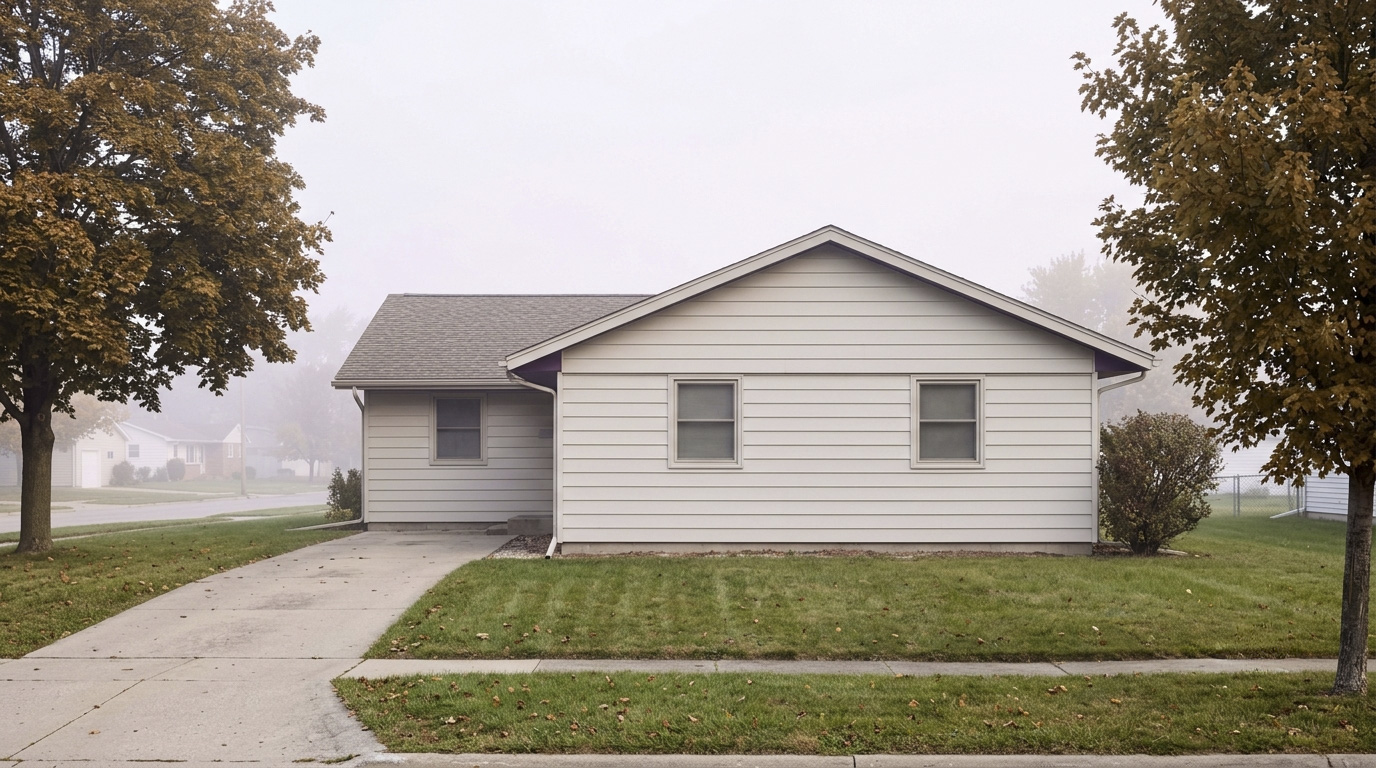
EastsideKing County Cities May 12, 2026

Living in Talus, Issaquah WA | 2026 Neighborhood Guide

Talus is the master-planned community tucked into the south side of I-90, built into the lower slopes of Cougar Mountain. In 2026, with buyers looking for newer construction, low-maintenance lifestyles, and direct trail access, Talus is a strong fit, especially for tech families and second-time buyers from Bellevue. If you want a home that is five minutes from the freeway but feels like it backs to a forest, Talus is one of the few Eastside neighborhoods that delivers both.

What is it actually like to live in Talus in 2026?

On a weekday morning, Talus feels quiet. The internal streets curve, traffic is mostly residents heading out for the day, and you can hear birds more than cars. Parents walk kids to the bus stop. Tech workers head down the hill to I-90. Trail runners head straight from their driveways into the Cougar Mountain trail system before work. The pace is calm, which is part of why people pay to live here.

On a weekend, Talus stays calm but more visible. People are out walking dogs, running, biking, or heading to Harvey Manning Park. The Bridges at Talus area has a strong neighborhood feel because residents see each other on the trail and at the park, not just on the way out. Most weekend activity happens off-property: residents drive five minutes to Issaquah for groceries, restaurants, and shopping.

Most residents are a mix of tech families, dual-income professionals, and move-up buyers from older Bellevue and Issaquah neighborhoods who wanted newer construction without sacrificing nature access. Talus has a younger demographic skew than Olde Town and Squak Mountain, mostly because the community itself is newer. What separates Talus from Issaquah Highlands is scale and feel. The Highlands has a real downtown, more density, and more master-plan polish. Talus is smaller, quieter, more wooded, and more tucked into the mountain.

A Northwest Contemporary home with native landscaping in Talus, Issaquah.

Homes in Talus: What the Data Shows

Most homes in Talus were built between 2003 and 2018, with newer infill in the Bridges at Talus and Mountain Aire areas. Single-family homes typically run 1,800 to 3,500 square feet on lots between 3,000 and 5,000 square feet. Lots are smaller than older Issaquah neighborhoods because Talus was designed around shared open space and trail buffers instead of large private yards. The architectural style is mostly Northwest Contemporary and Modern Craftsman, with mixed siding, covered porches, and rooflines that vary by sub-area. Burnstead Construction was a major builder in the Bridges at Talus pocket and is known for solid mid-tier craftsmanship. There are also townhomes throughout Talus, typically 1,400 to 2,200 square feet, which give the neighborhood housing diversity at a lower price point.

Market Pulse Talus (98027 (Talus pocket)) King County
Median Sales Price (May 2026) ~$1,195,000 ~$859,000
Median Days on Market ~36 days ~28 days
Active Listings Change (vs. Jan 2026) +26% +30%

Estimates based on current NWMLS data for the 98027 ZIP code Talus pocket. Days on market run a bit longer here than in Issaquah Highlands, mostly because the buyer pool is smaller and more specific.

Schools Serving Talus

Most Talus kids attend Issaquah Valley Elementary, then Issaquah Middle School, then Issaquah High School. One important note for buyers: Cougar Mountain Middle School is physically located inside Talus at 1929 NW Talus Drive. The school opened in 2022 and serves a different attendance zone than most of Talus, so do not assume your kids will attend the school in your own neighborhood. Always confirm your specific address with the Issaquah School District before you write an offer.

Issaquah Valley Elementary houses the Spanish Dual Language Immersion program and is one of the more diverse elementary schools in the district. Issaquah Middle School was rebuilt and modernized in recent years and has strong music and STEM programs. Issaquah High has a strong four-year graduation rate, multiple AP programs, and a competitive athletics presence.

The school pipeline for Talus is solid but involves some driving. The walkability of Issaquah Valley and Issaquah Middle is limited from most Talus addresses, so most families bus or drive. That is the trade-off for the quieter, more wooded setting.

Getting to Work from Talus

Talus has one main exit onto Renton-Issaquah Road (SR-900), which connects quickly to I-90 at exit 15. Most residents take I-90 east or west depending on destination.

Destination Distance 2026 Peak Drive (AM) Transit Option
Downtown Seattle 18 miles 38 to 55 min I-90 / ST 554 from Issaquah Highlands P&R
Bellevue / Amazon Bellevue 9 miles 22 to 32 min I-90 to I-405 / ST 554
Microsoft (Redmond) 12 miles 28 to 38 min I-90 to SR-520 / Connector Bus
SeaTac Airport 22 miles 35 to 50 min SR-900 to I-405 to I-5

A Cougar Mountain trail in Talus, Issaquah, showing the neighborhood's immediate trail access.

What I See as a Valuation Expert in Talus

The HOA picture in Talus is straightforward but important. Most single-family homes pay around $80 to $200 per month to the master association, with townhomes running $300 to $450 per month depending on what is covered. The HOA in Talus has been generally well-managed, but as the original construction is now 20+ years old, capital reserves are getting tested. Always pull the resale certificate and the most recent reserve study before you write an offer. A weak reserve fund and a pending special assessment can change your monthly cost picture quickly.

Curb appeal in Talus is strong because the master plan required mature street trees, native landscaping, and consistent architectural standards. In Talus, established landscaping carries real weight in valuation, especially on lots that back to greenbelt or trail access. A 2008 build with original native landscaping that has matured well will appraise stronger than a same-vintage home where the yard has been removed or simplified.

Within Talus, certain pockets sell faster and at the top of the price range. The Bridges at Talus area, lots backing directly to Cougar Mountain greenbelt, and any home with a clear westerly territorial view tend to move first when they hit the market. Cul-de-sac lots and homes near Harvey Manning Park also command premiums because of the limited through traffic.

Explore Talus Yourself

The fastest way to know if Talus fits is to drive the perimeter loop, walk a section of the trail at Harvey Manning Park, and check out the Bridges at Talus pocket on the south side.

View Talus on Google Maps →

Your guide to life outside Seattle.

Gregory Dorrell | Coldwell Banker Bain | WA License #111862
253-350-0045  ·
greg@livingoutsideseattle.com  ·
www.livingoutsideseattle.com
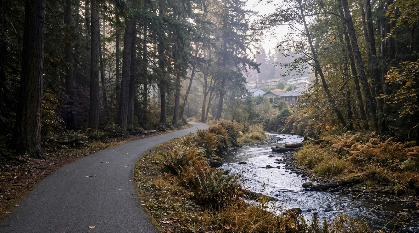
EastsideKing County Cities May 12, 2026

Living in Olde Town Issaquah, WA | 2026 Neighborhood Guide

Olde Town is the historic heart of Issaquah, the part of the city that existed long before the Highlands and the master-planned communities up the hill. In 2026, with buyers looking for character, walkability, and a neighborhood that feels like a real place instead of a development, Olde Town is having a moment. If you want a home you can walk out of and grab coffee, see live salmon in the creek, and end your evening on a brewery patio, this is the part of Issaquah that delivers.

What is it actually like to live in Olde Town in 2026?

On a weekday morning, Olde Town feels like a small town that decided to keep being a small town. People walk to coffee at Issaquah Coffee Company. Kids bike to Issaquah Valley Elementary. Commuters head a few blocks over to Front Street to catch the express bus into Seattle. The streets are narrow and lined with mature trees, and a lot of homes still have their original front porches.

On a weekend, the neighborhood comes alive. Front Street fills with people moving between the bakery, the brewery, the bookstore, and the small boutique shops. The Issaquah Salmon Hatchery is busy every fall when the chinook return up the creek. The Saturday farmers market sets up at Pickering Barn just north of downtown. In October, Salmon Days takes over the entire neighborhood and pulls in people from across the Eastside.

Most residents here are a mix. You have long-time Issaquah residents who bought decades ago and stayed. You have younger buyers who wanted character and walkability over square footage. You have a growing share of empty nesters downsizing from larger Eastside homes. What separates Olde Town from Issaquah Highlands is simple: this neighborhood was not designed in one sweep. It grew over a hundred years, one block at a time. That gives it a kind of character no master-planned community can copy, but it also means lot sizes, home conditions, and street layouts vary widely from block to block.

The Issaquah Salmon Hatchery creek corridor in Olde Town Issaquah on a soft autumn morning.

Homes in Olde Town: What the Data Shows

Olde Town housing is a real mix. You will find early-1900s craftsman bungalows with original woodwork, mid-century cottages from the 1940s and 1950s, post-war ramblers, and newer infill builds where someone tore down an old structure and put up something modern. Single-family homes typically run 1,200 to 2,400 square feet on lots between 4,000 and 8,000 square feet, with a handful of larger legacy properties on quarter-acre lots tucked along the side streets. The architectural mix is part of the charm. There are also condos and townhomes near Front Street for buyers who want the walkability without the maintenance of an old house.

Market Pulse Olde Town (98027) King County
Median Sales Price (May 2026) ~$945,000 ~$859,000
Median Days on Market ~30 days ~28 days
Active Listings Change (vs. Jan 2026) +28% +30%

Estimates based on current NWMLS data for the 98027 ZIP code. Older homes here often need updating, which is reflected in price spread. A renovated craftsman commands a strong premium over a same-size original-condition home.

Schools Serving Olde Town

Most Olde Town kids attend Issaquah Valley Elementary, then Issaquah Middle School, then Issaquah High School. All three schools sit within walking or short-driving distance of the neighborhood, which is rare in modern subdivisions.

Issaquah Valley Elementary is one of the older buildings in the district and houses the Spanish Dual Language Immersion program, which is a real draw if you want bilingual education. Issaquah Middle School was rebuilt and modernized in recent years and offers strong music and STEM programs. Issaquah High has a strong four-year graduation rate, multiple AP programs, and a competitive athletics presence.

The Olde Town pipeline has the advantage of being walkable, which is unusual. A kindergartener at Issaquah Valley can walk to school in many cases, then ride a bike to Issaquah Middle, then drive a few minutes to Issaquah High. That continuity is one of the quiet reasons families stay in Olde Town long-term.

Getting to Work from Olde Town

Olde Town has direct access to I-90 via the Front Street / Sunset Way interchange and the Newport Way exit a few blocks west. The Issaquah Transit Center sits inside the neighborhood, which is the only Issaquah neighborhood where you can walk to your bus stop instead of drive.

Destination Distance 2026 Peak Drive (AM) Transit Option
Downtown Seattle 17 miles 35 to 55 min I-90 / ST 554 from walkable transit center
Bellevue / Amazon Bellevue 9 miles 22 to 32 min I-90 to I-405 / ST 554
Microsoft (Redmond) 12 miles 28 to 38 min I-90 to SR-520 / Connector Bus
SeaTac Airport 22 miles 35 to 50 min I-405 to I-5 / Drive

A restored Craftsman bungalow in Olde Town Issaquah, representative of the neighborhood's historic housing stock.

What I See as a Valuation Expert in Olde Town

The biggest valuation factor in Olde Town is honestly the home itself, not the neighborhood. Two craftsman bungalows on the same block can appraise $200,000 apart based purely on the condition of the foundation, the wiring, the roof, and whether the kitchen and bathrooms have been touched in the last 15 years. In Olde Town, valuation weight goes mostly to the systems and the structure, not the cosmetics. An untouched 1925 craftsman with old knob-and-tube wiring and a settled foundation will appraise much lower than a same-vintage home that has been sympathetically updated.

HOAs are rare in Olde Town. Most properties are fee simple, which means no monthly dues and no master association rules to worry about. The few exceptions are the newer townhome and condo projects near Front Street. Those have HOAs in the $250 to $500 monthly range, depending on what is covered. If you are looking at one of those, always pull the resale certificate and reserve study before you write an offer.

Original-condition craftsman homes that have been well-maintained also command character premiums that newer homes simply cannot copy. Buyers who specifically value walkability and history are willing to pay 8 to 15 percent above an equivalent home in a less-walkable Issaquah neighborhood.

Explore Olde Town Yourself

The fastest way to know if Olde Town fits is to walk Front Street on a Saturday morning, then wander a few blocks east into the residential streets to see the housing variety up close.

View Olde Town on Google Maps →

Your guide to life outside Seattle.

Gregory Dorrell | Coldwell Banker Bain | WA License #111862
253-350-0045  ·
greg@livingoutsideseattle.com  ·
www.livingoutsideseattle.com
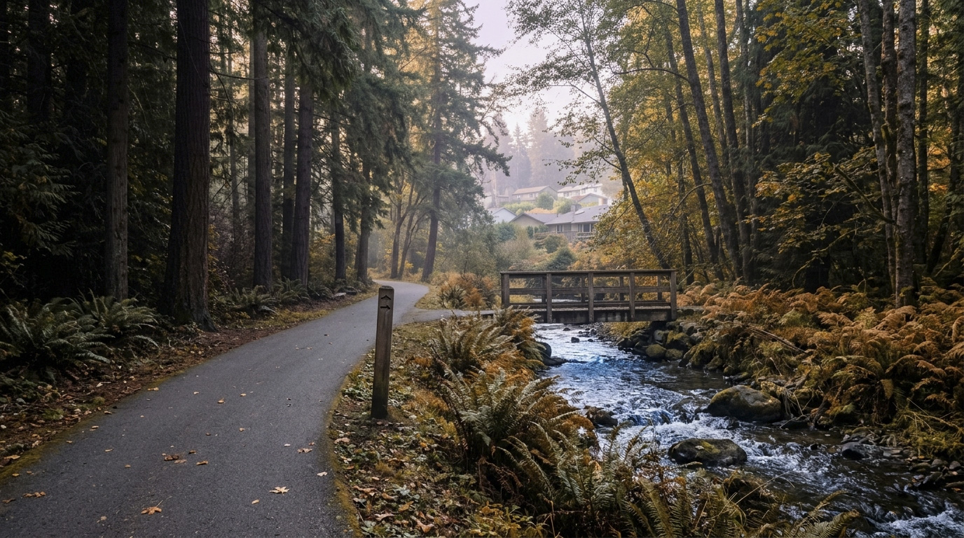
EastsideKing County Cities May 12, 2026

Living in Issaquah Highlands

Issaquah Highlands is the plateau community that turned a King County hilltop into one of the Eastside’s most-searched ZIP codes. In 2026, with the inventory surge giving buyers more choices, this Tech-Modernist neighborhood is back in serious demand, especially for buyers pulled in by Issaquah and Skyline schools. If you want newer construction, walkable amenities, and a real downtown core inside your own neighborhood, the Highlands is at the top of most buyer lists.

What is it actually like to live in Issaquah Highlands in 2026?

On a weekday morning, the Highlands feels like a small modern town that someone designed on purpose, because that is exactly what happened. Parents walking kids to Grand Ridge Elementary cross paths with tech workers heading down the hill to the Park & Ride or driving toward Microsoft. The streets are wide, the sidewalks are clean, and there is actually morning foot traffic in the plaza by 7 AM.

On a weekend, the place feels different again. The Saturday farmers market runs spring through fall in the central plaza. Trail runners head into Grand Ridge from the eastern edge of the neighborhood. Families fill the playgrounds at Central Park. The Regal cinema, a handful of restaurants, and the Safeway pull steady traffic, but it never feels packed the way Bellevue Square does.

Most residents are tech families, dual-income professionals, and a growing number of move-up buyers from Bellevue and Sammamish who wanted more square footage without leaving the I-90 corridor. What separates the Highlands from older Issaquah neighborhoods is the planning. This whole community was designed in one sweep starting in the late 1990s, with a real downtown plaza, parks, schools, and trails layered in from day one. Olde Town has more character, but the Highlands has more convenience.

Saturday morning street scene in the Issaquah Highlands showing the master-planned community's residential character.

Homes in Issaquah Highlands: What the Data Shows

Most homes in the Highlands were built between 2000 and 2018, which means modern layouts, energy efficiency, and lower repair risk than older Issaquah housing. Single-family homes typically run 2,200 to 4,000 square feet on lots between 4,000 and 7,500 square feet, with smaller lots in the earlier-built sections and larger ones in the upper Discovery Heights and Magnolia Park areas. The architectural style is mostly Northwest Contemporary and Modern Craftsman, with wide gables, mixed siding materials, covered porches, and varied rooflines that keep the streets from feeling repetitive. Several major builders worked in the Highlands over the years, including Polygon Northwest, Conner Homes, Buchan Homes, and Toll Brothers in the higher-end pockets. There are also townhomes and condos near the plaza for buyers who want walkable urban density without giving up the school district.

Market Pulse Issaquah Highlands (98029) King County
Median Sales Price (May 2026) ~$1,295,000 ~$859,000
Median Days on Market ~22 days ~28 days
Active Listings Change (vs. Jan 2026) +24% +30%

Estimates based on current NWMLS data for the 98029 ZIP code. The Highlands has held value better than the broader county average.

Schools Serving Issaquah Highlands

Most Highlands kids attend Grand Ridge Elementary, then Pacific Cascade Middle, then Issaquah High School. A few northern streets feed into Skyline High in Sammamish instead of Issaquah High, so always confirm your specific address before writing an offer.

Grand Ridge Elementary is a newer building (built within the master plan) and consistently scores in the top tier of Washington elementary schools. Pacific Cascade Middle has strong STEM and arts programs and routinely sends kids to Issaquah High prepared for AP and IB-style coursework. Issaquah High has a strong four-year graduation rate, multiple AP programs, and a competitive athletics presence.

Most parents I work with cite the Issaquah School District as the single biggest reason they targeted the Highlands in the first place. The district has held its top-tier reputation for years. The school pipeline within the Highlands is one of the most cohesive in King County, because most kids stay together from elementary through high school.

Getting to Work from Issaquah Highlands

The Highlands has two main exits onto I-90, the Highlands Drive interchange and the Sunset Way / Front Street interchange a couple of minutes south. That gives you faster freeway access than older Issaquah neighborhoods on weekday mornings.

Destination Distance 2026 Peak Drive (AM) Transit Option
Downtown Seattle 17 miles 35 to 55 min I-90 / ST 554 from P&R
Bellevue / Amazon Bellevue 8 miles 20 to 30 min I-90 to I-405 / ST 554
Microsoft (Redmond) 11 miles 25 to 35 min I-90 to SR-520 / Connector
SeaTac Airport 22 miles 35 to 50 min I-405 to I-5 / Drive

Grand Ridge trail in the Issaquah Highlands with rooftops visible through the trees, showing the community's immediate trail access.

What I See as a Valuation Expert in Issaquah Highlands

The HOA picture in the Highlands is more complicated than most neighborhoods. The whole community is governed by a master association with separate sub-associations for individual subdivisions, so monthly dues vary widely. Most single-family homeowners pay between $90 and $180 per month, but townhome and condo owners can run $300 to $500 monthly when their HOAs cover exterior maintenance, insurance, or shared amenities. Always pull the resale certificate and the most recent reserve study before you write an offer. A weak reserve fund and a pending special assessment can change your monthly cost picture fast.

Curb appeal is a real factor here. Because the master plan required street trees and landscaping standards, mature trees and established shrubs are now hitting their best years. In the Highlands, mature landscaping carries real weight in valuation, especially on lots that back to greenbelt or shared open space. A 2002 build with well-kept original landscaping and a recent paint and roof refresh will appraise stronger than a similar home where the yard has been let go.

Within the Highlands, certain streets and pockets sell faster and at the top of the price range. The Discovery Heights area at the upper elevation, the streets that back directly to Grand Ridge open space, and the homes around Central Park tend to move first when they hit the market. Cul-de-sac lots with no through traffic also see premium pricing.

Explore Issaquah Highlands Yourself

The fastest way to know if Issaquah Highlands fits is to walk the central plaza on a Saturday morning, then drive the loop streets up through Discovery Heights to see the housing variety in person.

View Issaquah Highlands on Google Maps →

Your guide to life outside Seattle.

Gregory Dorrell | Coldwell Banker Bain | WA License #111862
253-350-0045  ·  greg@livingoutsideseattle.com  ·  www.livingoutsideseattle.com
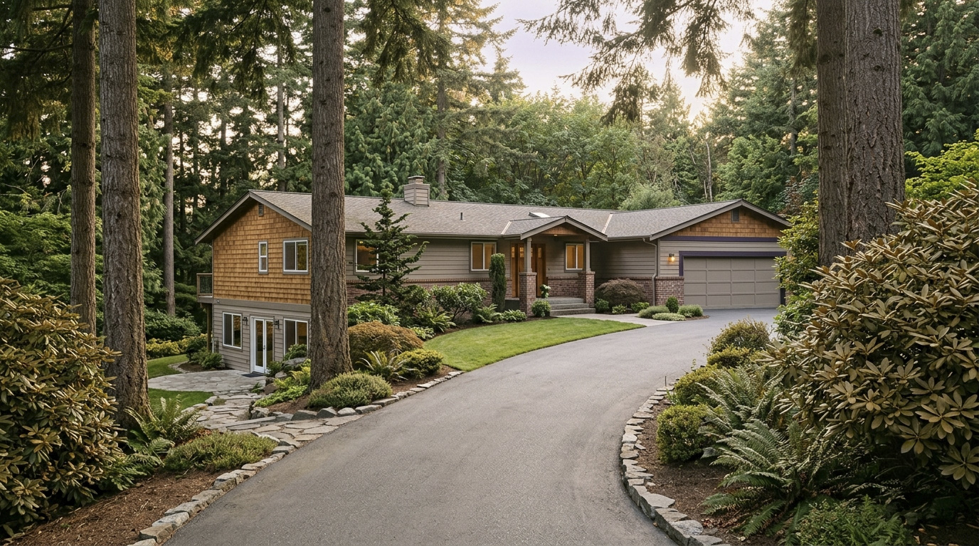
EastsideKing County Cities May 12, 2026

Living in Issaquah, WA: Your 2026 Real Estate & Lifestyle Guide

Why Issaquah Stands Out in 2026

King County’s median home price sat near $1 million in July 2026. Active listings are up about 31% from last year, which has shifted us into a more balanced market. Issaquah’s median price runs well above the county number — it was $1,575,000 in July 2026, though monthly medians here move on a relatively small number of sales. Most buyers here are tech families, dual-income professionals, and folks coming in from Bellevue or Seattle who want trail access and top-rated schools without leaving the I-90 corridor.

Issaquah feels like a wooded sanctuary that happens to have a Costco headquarters. You can hike Tiger Mountain in the morning, grab coffee on Front Street in Olde Town, and be at a Microsoft meeting in Redmond by 10. The “Issaquah Alps,” meaning Cougar, Squak, and Tiger Mountains, wrap around the city and shape every neighborhood. Salmon return to the hatchery downtown every fall, and the city actually throws a festival for it. That mix of outdoor character and tech-fueled growth is what makes Issaquah different from anywhere else on the Eastside.

Front Street in Olde Town Issaquah on a quiet morning with mature street trees and historic storefronts.

Commute Times from Issaquah

In 2026, Issaquah is still primarily a car-and-bus city. The Sound Transit 2 Line opened to Redmond in 2024 and now runs through to Seattle, but the planned Issaquah Link extension is still in planning and is not expected for many years. The Stride S2 BRT line, which will connect Bellevue and Bothell, is also on the way and will improve I-405 transit. For now, most Issaquah residents either drive I-90 or use the Sound Transit 554 express bus from the Issaquah Highlands Park & Ride.

Destination Distance 2026 Peak Drive (AM) Transit Option
Downtown Seattle 17 miles 35 to 55 min I-90 / ST 554 Express
Amazon (South Lake Union) 17 miles 40 to 55 min Drive / Bus + Light Rail
Microsoft (Redmond) 10 miles 25 to 35 min I-90 to SR-520 / Connector
Bellevue Tech Corridor 8 miles 20 to 30 min I-90 to I-405 / ST 554
SeaTac Airport 22 miles 35 to 50 min Drive / I-405

Times reflect honest peak-hour reality, not best-case scenarios. I drive these routes for inspections most weeks, so I see the traffic patterns up close.

Neighborhoods in Issaquah: A Quick Look

This is the hub page for Issaquah. Each neighborhood below has its own deep-dive post with photos, recent sales, and school details. Click through on any name to read more.

Issaquah Highlands

Issaquah Highlands sits up on the plateau north of I-90 and feels like its own small town. The vibe is family-forward and tech-heavy, with newer construction, walking trails, and a real downtown core around the Grand Ridge Plaza. Most homes were built between 2000 and 2020, so you get modern layouts and energy efficiency. Single-family homes typically run 2,200 to 4,000 square feet on lots between 4,000 and 7,500 square feet. There are also townhomes and condos for buyers who want lower maintenance. Issaquah Highlands feeds into the Issaquah School District, including the top-rated Issaquah High School and Skyline High. The neighborhood has its own farmers market, a Regal cinema, and direct access to the Grand Ridge trail system.

Olde Town Issaquah

Olde Town is the historic heart of the city and runs along Front Street. The character is walkable, slightly funky, and full of small businesses, breweries, and the salmon hatchery. Housing here is a mix of early-1900s craftsman bungalows, mid-century cottages, and newer infill builds. Lot sizes vary widely, but you’ll see plenty of 4,000 to 8,000 square foot lots with homes between 1,200 and 2,400 square feet. This area feeds Issaquah Valley Elementary and Issaquah High. The big claim to fame is the Issaquah Salmon Days Festival every October. If you want to walk to dinner, drop off mail by foot, and live somewhere with real history, Olde Town is the answer.

Aerial overview of Issaquah neighborhoods showing the Highlands plateau and Olde Town valley.

Talus

Talus is a master-planned community on the south side of I-90, built into the hills below Cougar Mountain. The community has a quiet, tucked-away feel even though you’re five minutes from the freeway. Homes are mostly 2003 to 2015 construction, with sizes ranging from 1,800 to 3,500 square feet. Lot sizes are small, often 3,000 to 5,000 square feet, because the neighborhood was designed around shared open space and walking paths. Talus is part of the Issaquah School District. Most addresses feed Issaquah Valley Elementary, Issaquah Middle, and Issaquah High. Note that Cougar Mountain Middle School is physically located inside Talus but serves a different attendance zone, so always confirm your specific address before writing an offer. The community has its own pool, clubhouse, and miles of internal trail. It’s a strong fit for buyers who want newer construction without the higher density of the Highlands.

Squak Mountain

Squak Mountain refers to the residential pockets along the slopes of, you guessed it, Squak Mountain itself. The vibe here is wooded, private, and quieter than central Issaquah. Lots are larger, often a quarter acre to a full acre or more, and homes range from 1970s split-levels to custom builds over 4,000 square feet. Many properties have territorial or mountain views. Squak Mountain feeds the Issaquah School District. The big draw is the immediate trail access into Squak Mountain State Forest, which connects to Tiger Mountain. If you want trees, space, and a true Pacific Northwest setting without losing easy I-90 access, this is one of the best options in the city.

Mirrormont

Mirrormont sits in the south end of the Issaquah area, technically in unincorporated King County but tied to Issaquah for schools and identity. The character is rural and large-lot, often described as semi-equestrian. Lots commonly run one to five acres, and homes range from 2,000 to 5,000 square feet, with everything from 1970s ramblers to newer custom builds. The neighborhood is part of the Issaquah School District. Mirrormont has its own community pool and tennis courts, plus direct access to the Tiger Mountain trail system. Buyers here want privacy, room for animals or hobbies, and a quieter pace, while still being 25 minutes from Bellevue.

Providence Point

Providence Point is an active adult community for residents 55 and older, located on the north end of Squak Mountain. The character is calm, manicured, and amenity-rich. Most homes are condos and townhomes built between the late 1980s and 2000s, sized from about 900 to 1,800 square feet. The community has a clubhouse, pools, walking paths, and full landscaping handled by the HOA. Providence Point sits within the Issaquah School District boundaries, but the community itself is age-restricted under federal HOPA rules. If you’re downsizing, want a low-maintenance lifestyle, and like having neighbors at a similar life stage, Providence Point is worth a serious look.

Montreux

Montreux is a gated community on the east side of Issaquah, perched on the slope above I-90 with views toward Lake Sammamish. The character is upscale, private, and quiet. Homes are mostly custom builds from the late 1990s and 2000s, ranging from 3,500 to over 6,000 square feet on lots between 7,000 and 12,000 square feet. Many homes have territorial or lake views. Montreux feeds the Issaquah School District, including the top-rated Sunset Elementary and Issaquah High. Inside the gates you’ll find a clubhouse, pool, sport court, and walking paths. This is a strong fit for buyers who want a luxury setting with HOA-managed common areas.

Sycamore

Sycamore is one of Issaquah’s older established neighborhoods, located west of Olde Town and tucked along the lower flank of Cougar Mountain. The character is quiet, mature, and family-oriented, with a strong neighborhood feel because most residents have been there for years. Homes are mostly 1970s and 1980s construction, sized from 1,800 to 3,000 square feet on lots that run 7,000 to 10,000 square feet. The neighborhood feeds Issaquah Valley Elementary, Issaquah Middle, and Issaquah High. Tibbetts Creek and the connecting trail to Cougar Mountain Regional Wildland Park are right there. Sycamore offers good value compared to newer Issaquah neighborhoods, especially for buyers willing to update an older home.

Newport / Cougar Mountain

The Newport Way corridor and the Cougar Mountain area sit on the western edge of Issaquah, climbing up toward the Bellevue line. The character mixes wooded privacy with quick freeway access. Housing varies a lot here, from 1980s contemporary builds to newer custom homes, with sizes from 2,000 to 4,500 square feet. Lots commonly run 8,000 square feet to a half acre, with many backing to greenbelt. This area is split between the Issaquah and Bellevue school districts depending on the exact street, so buyers should always confirm the school assignment before writing an offer. Cougar Mountain Regional Wildland Park is the headline amenity, with miles of trails right out the back door.

Tiger Mountain Foothills

Tiger Mountain Foothills covers the southeast pockets of Issaquah where the city meets the forest. The character is rural-feeling, with larger lots, mature trees, and very little through traffic. Homes here range from 1970s and 1980s ramblers to newer 2010s and 2020s custom builds, typically 2,200 to 5,000 square feet on lots between half an acre and three acres. The Issaquah School District serves this area, with most kids going to Issaquah High. The headline amenity is direct access to West Tiger Mountain trails, including the popular Poo Poo Point hike. Buyers who want acreage and trail access without driving 45 minutes from Bellevue should put this area on the short list.

Market Dynamics & Investment Value in Issaquah

The 31% inventory surge across King County has changed the Issaquah market in real ways. A year ago, well-priced homes here saw multiple offers within the first weekend. Today, many homes sit for two to four weeks before going under contract, and price reductions are more common than they have been in several years. That gives buyers time to actually think, get a real inspection done, and negotiate on terms. For sellers, it means pricing has to be honest from day one. Aspirational pricing that worked in 2022 is not working in 2026.

Issaquah home values have held up better than many other parts of King County over the last 12 months. The combination of Issaquah School District ratings, proximity to Bellevue and Microsoft, and limited buildable land keeps demand steady. Newer construction in places like Issaquah Highlands and Talus has shown the strongest price stability, mostly because buyers are willing to pay for energy efficiency, modern layouts, and lower repair risk. Older homes on larger lots have also held value well, especially in Squak Mountain and Mirrormont, where the lot itself often carries most of the appraised value.

Restored Craftsman home in Issaquah on a quiet morning, representative of the valuation lens applied across the city's housing stock.

I bring that same lens to every Issaquah home I help a client evaluate, whether you are buying or selling.

The 12-month picture for Issaquah is steady, not flashy. Buyers who pay attention to inventory, school zones, and lot quality will find real opportunities over the next few months. Sellers who price honestly and present well will still see strong results. Anyone betting on a quick flip should look elsewhere.

Explore Issaquah Yourself

The best way to know if Issaquah fits is to come walk Front Street, drive up to the Highlands, and hike a section of the Tiger Mountain trail. Once you see how the neighborhoods connect, the rest makes sense.

View Issaquah on Google Maps →

Tiger Mountain trail in Issaquah looking northwest toward Lake Sammamish in the distance.

Your guide to life outside Seattle.

Gregory Dorrell | Coldwell Banker Bain | WA License #111862
253-350-0045  ·  greg@livingoutsideseattle.com  ·  www.livingoutsideseattle.com